Date: November 7, 2019
Vagabonding Day: 38
Location: BraÄ Island, Croatia
Elevation Gain: 2300 feet (701 meters)
Distance: 6.75 miles (10.5 km)
The summit of Vidova Gora.
Located on BraÄ Island, Vidova Gora stands majestically above the town of Bol and provides sweeping views of the Adriatic and beyond. With a height of 2552 feet (778 meters), it is the tallest mountain on all of the Adriatic islands. I’m always on the hunt for a new mountain to explore, so when I heard about this beauty I really wanted to see it for myself.
My hiking route on the Vidova Gora Trail.
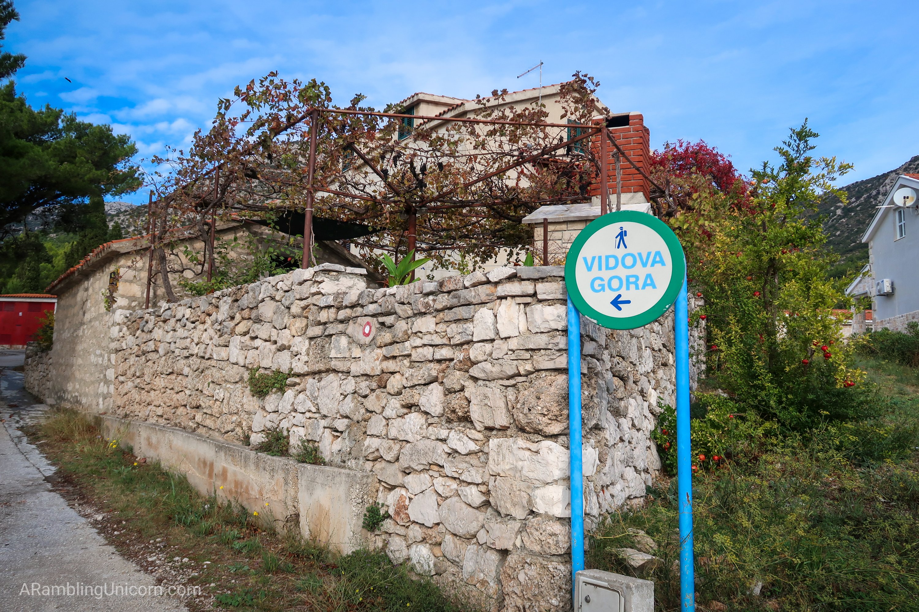
The Vidova Gora trailhead begins on the outskirts of Bol at the intersection of Ul. Gornje Podbarje and BraÄka Cesta. It’s easily accessible by foot from the downtown area – which is a nice change from some of my other recent hikes which required a lengthy bus ride. After locating the trailhead, I started walking uphill towards the mountain ridge behind the town.
Vidova Gora Trailhead.
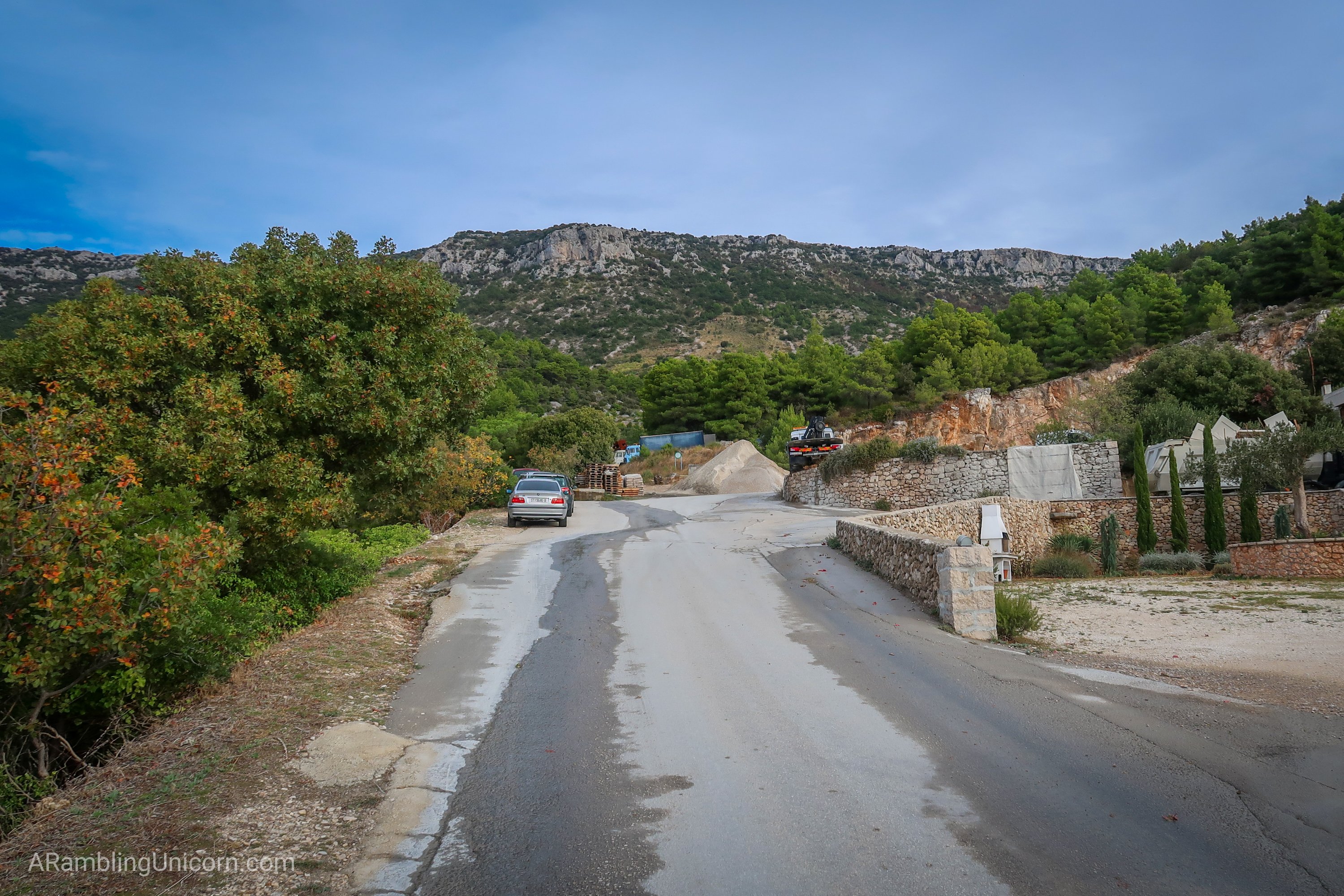
The trail follows along Ul. Gornje Podbarje road until it meets a gravel pit. Here, the trail branches away from the main road and passes a row of industrial trucks nestled into the hillside. The trail branches again here, with the Mala Staza trail going right towards the airport and the Vidova Gora trail going left. I headed left along a dirt road.
Walking along the road towards the gravel pit.
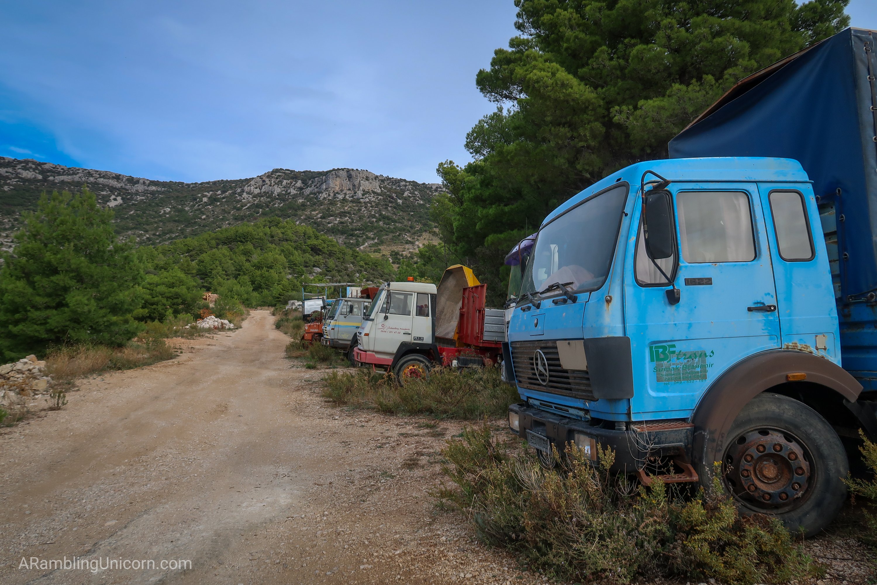
Big industrial trucks line the road.
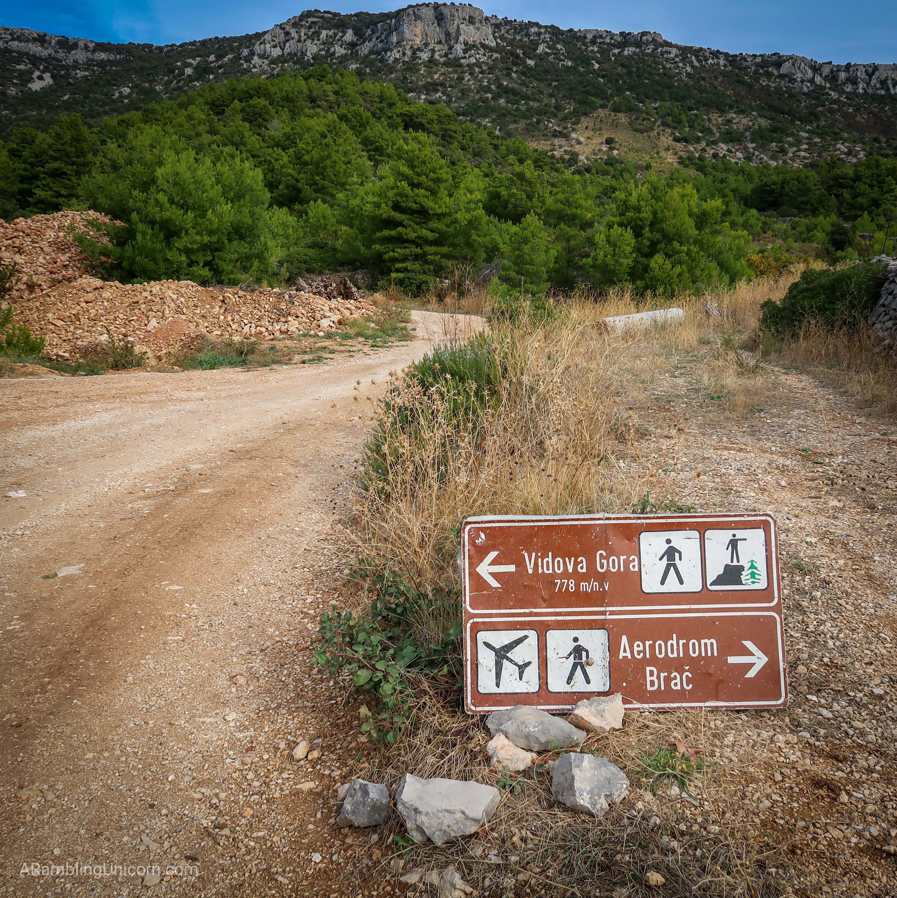
This trail junction sign was flat on the ground. I was a bit confused until I propped it up again.
Trees laden with dark ripe olives lined the trail as I hiked. I wondered if anyone owned these trees, seemingly in the middle of nowhere. I got my answer on the way back to town later that day as a group of farmers were gathered around the trees harvesting the olives.
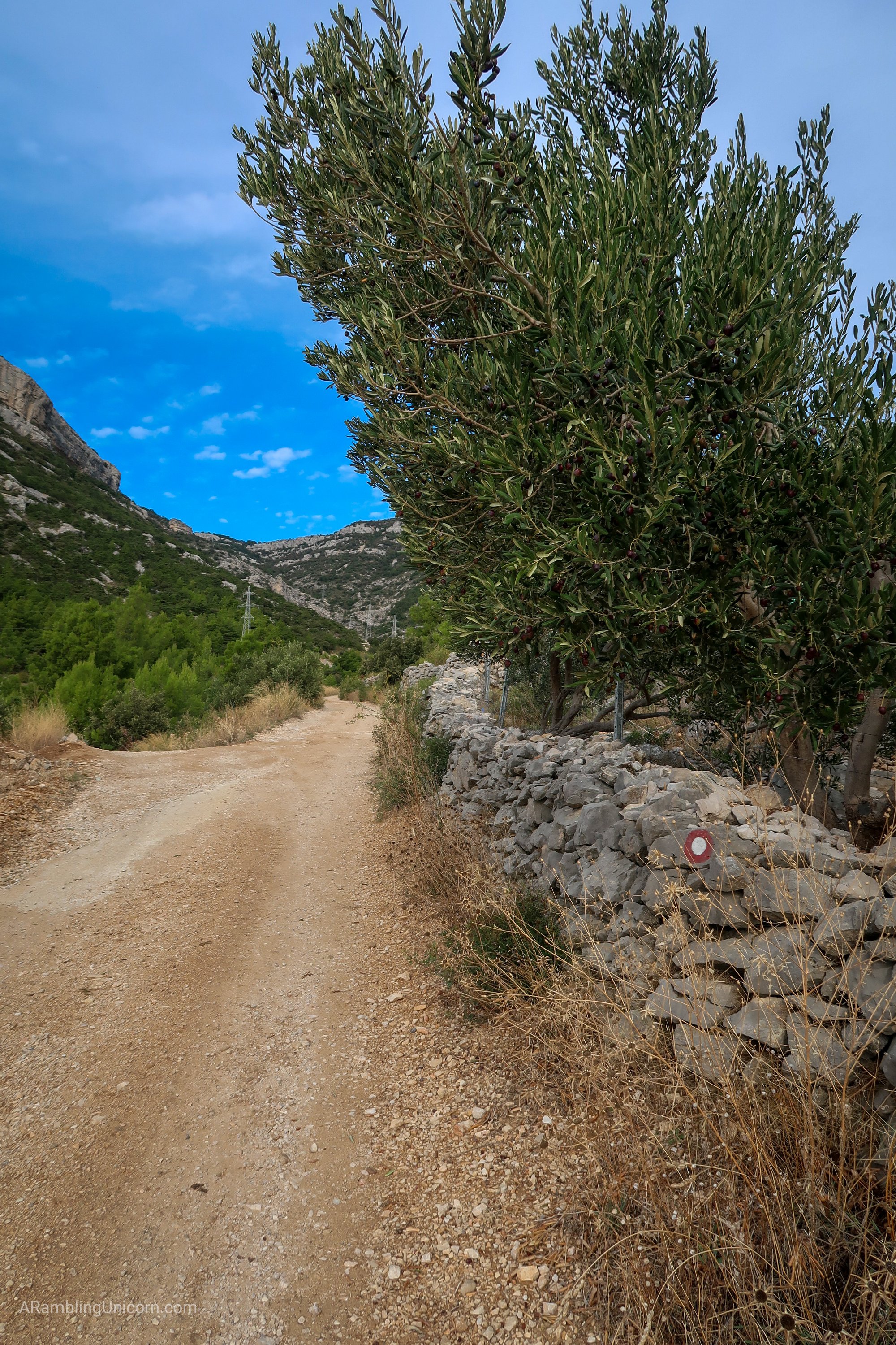
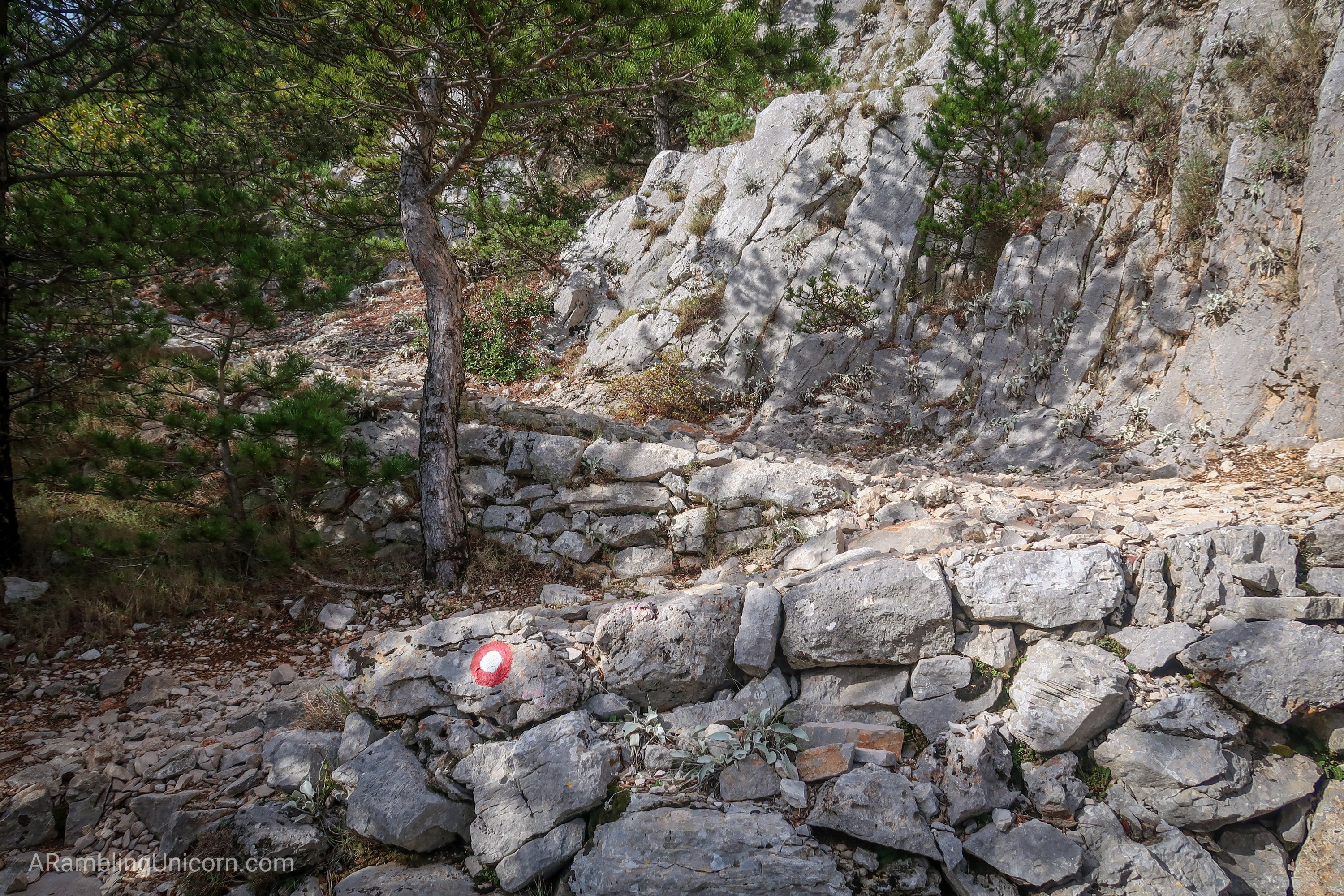
Olive trees line the road. The red circle is a trail marker.
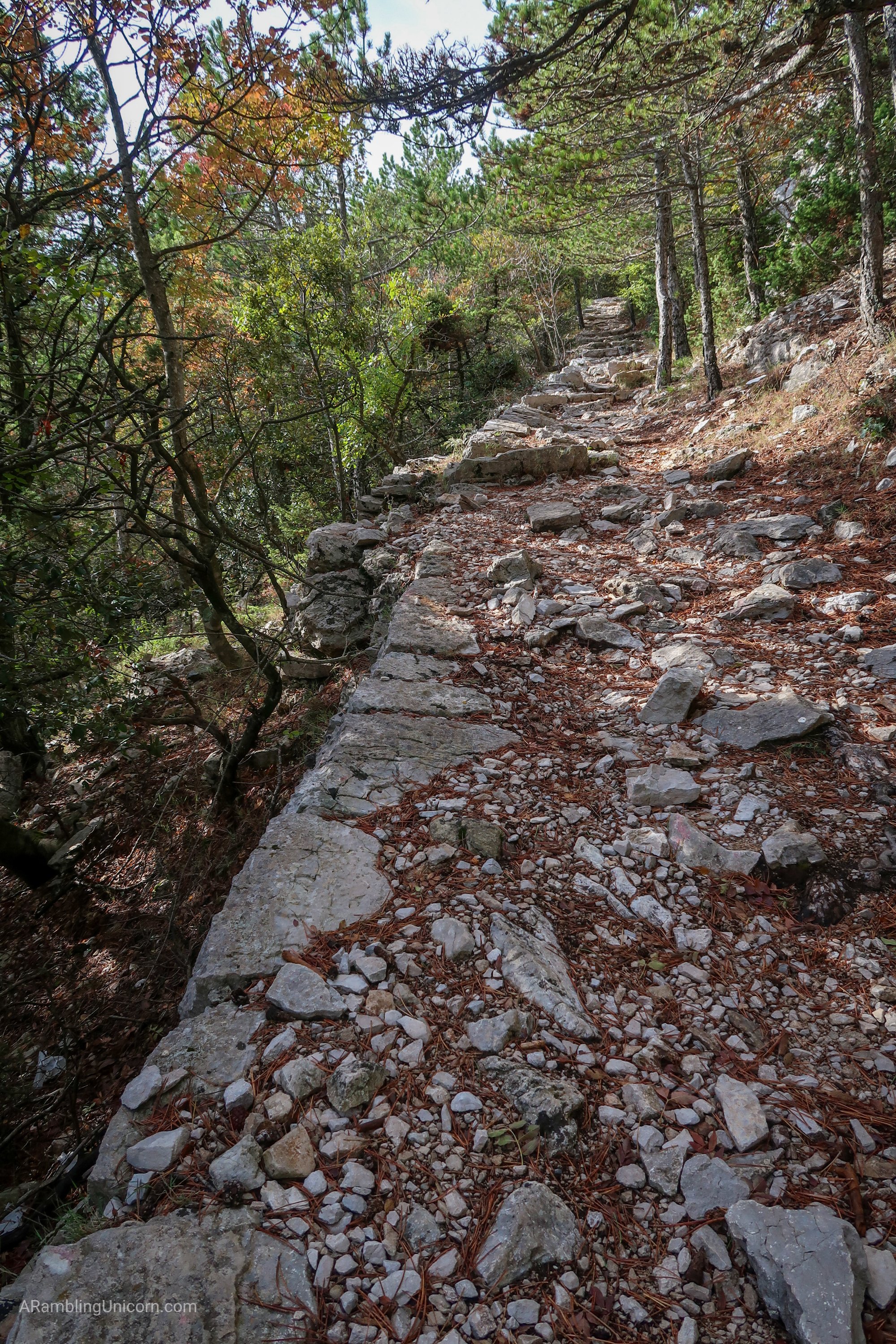
The dirt road turns to a pleasant hiking path.
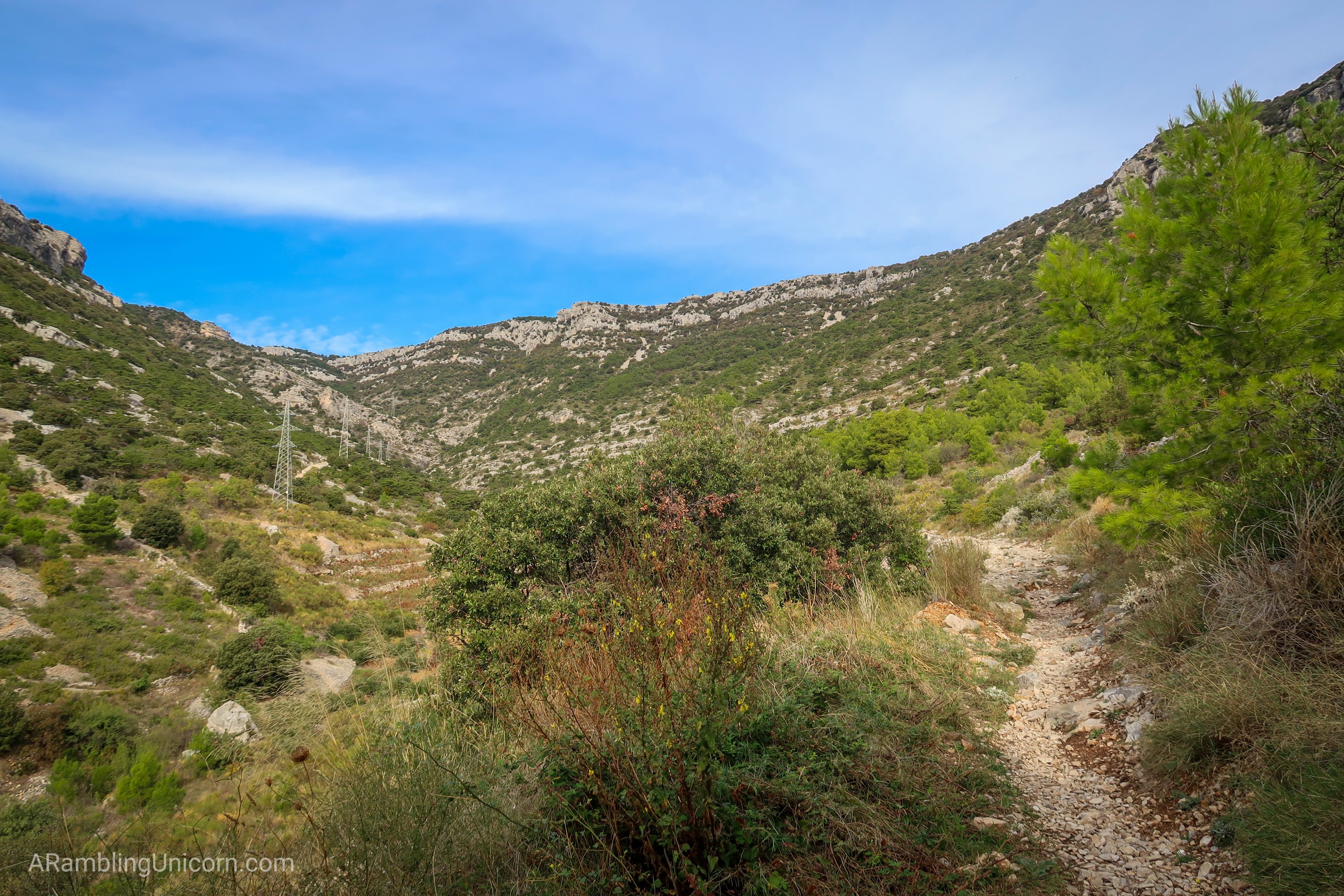
Just past the olive trees, the path narrows from a dirt road into a bona fide hiking trail. A rocky path zig-zags up the hill via a series of switchbacks and past a livestock gate. I stepped through the gate and carefully latched it behind me, wondering what kind of livestock lived on the hill.
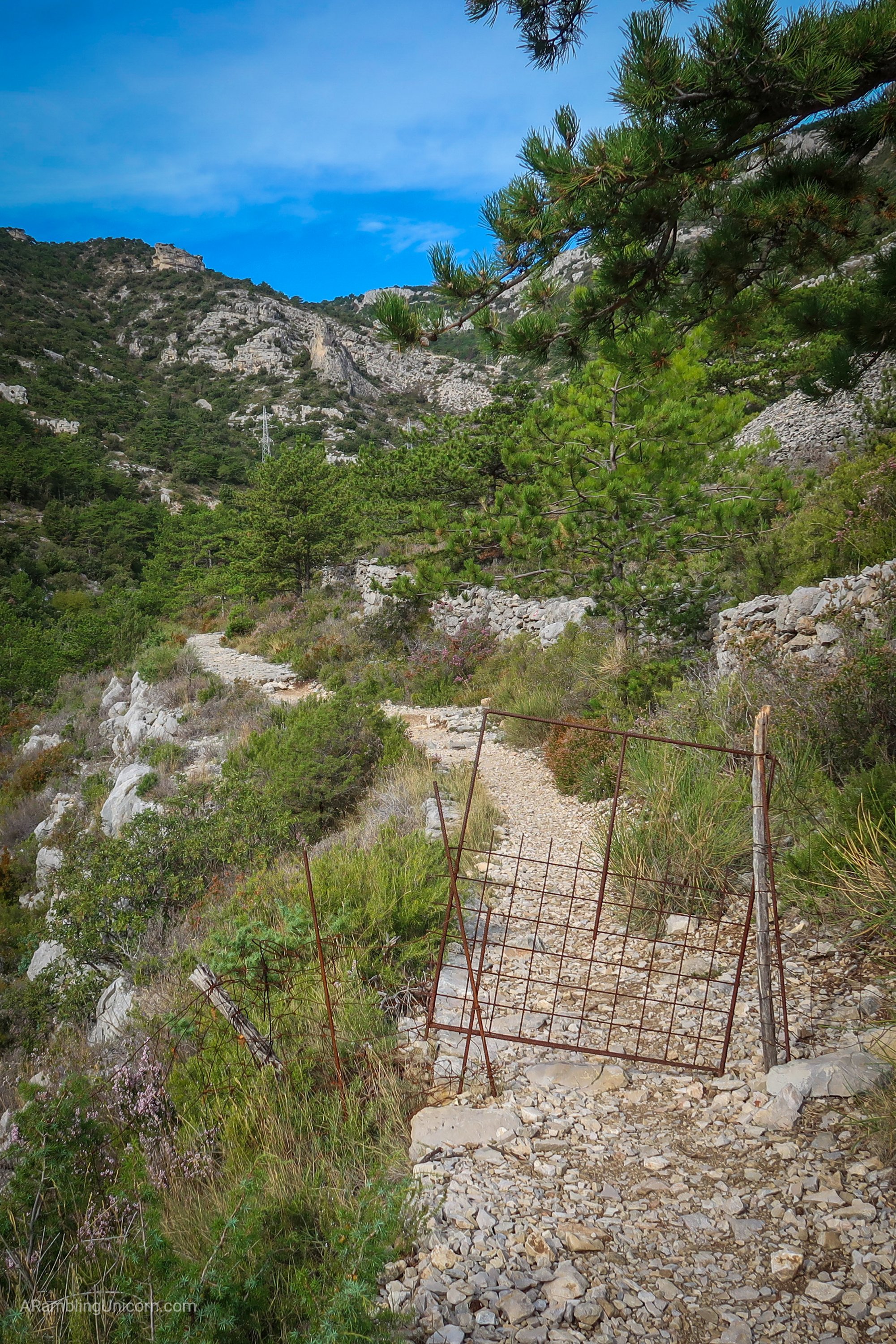
Livestock gate. I wonder if I’ll run into any animals?
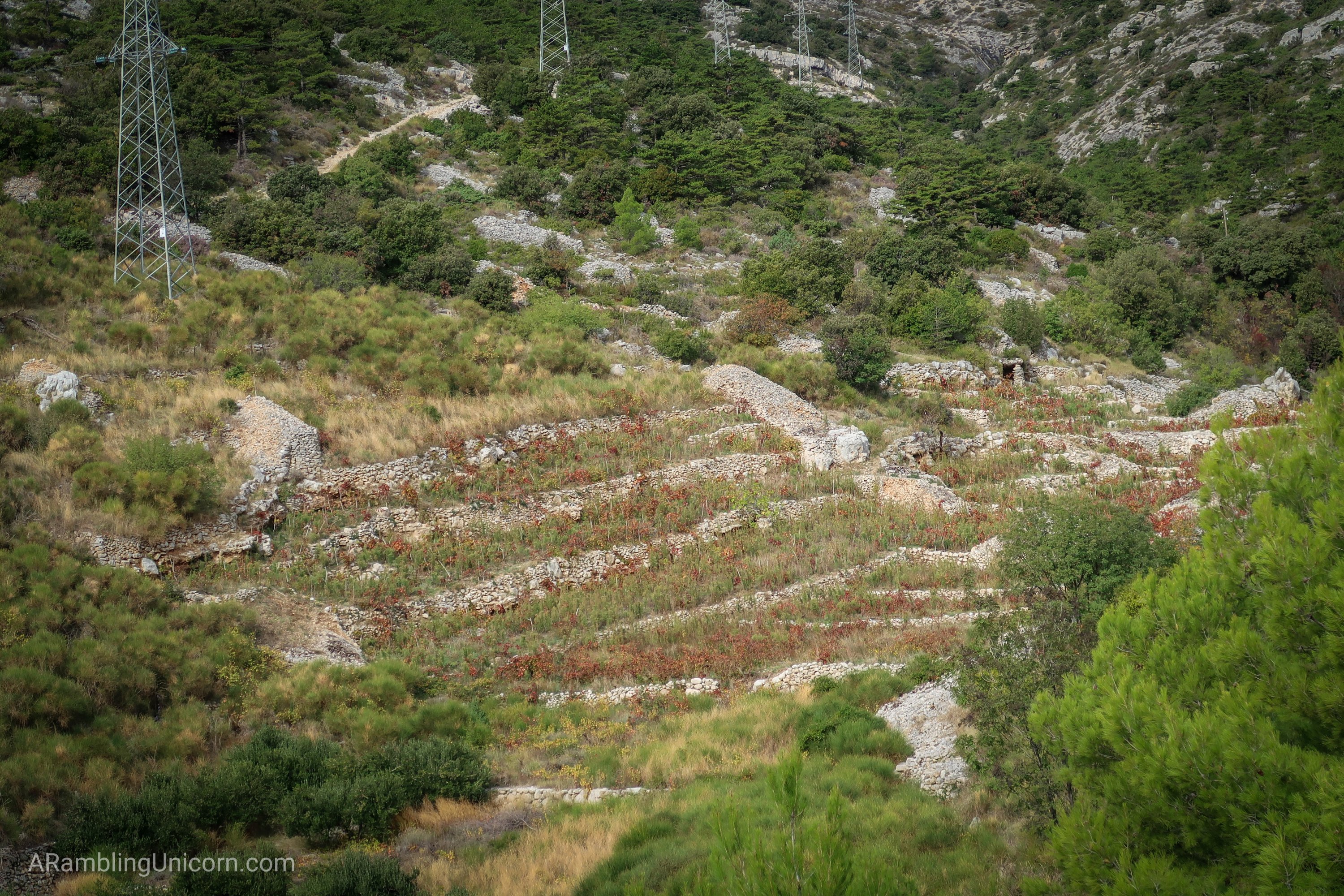
Some ruins in the valley below. I wonder what used to be down there?
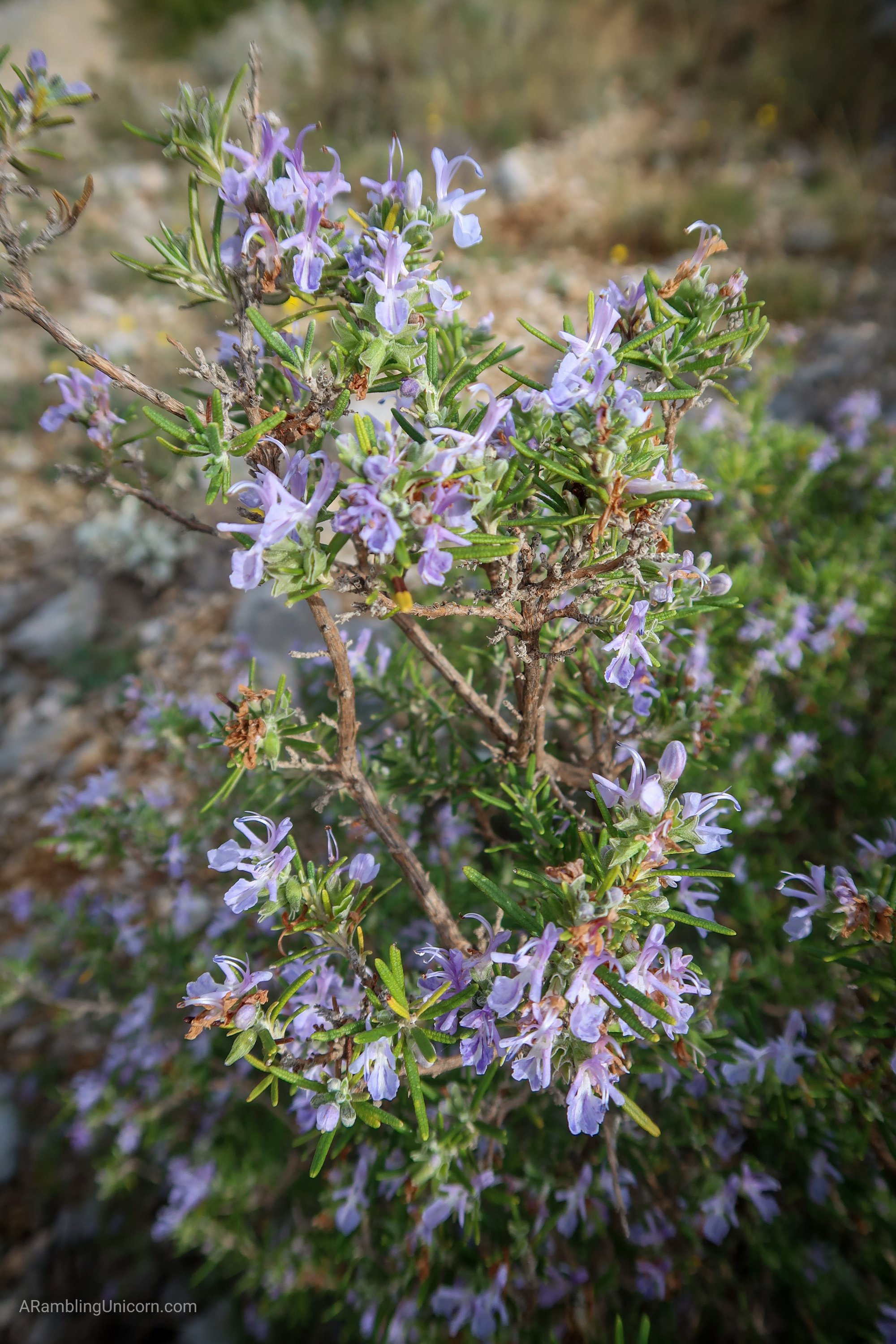
Wild rosemary along the trail.
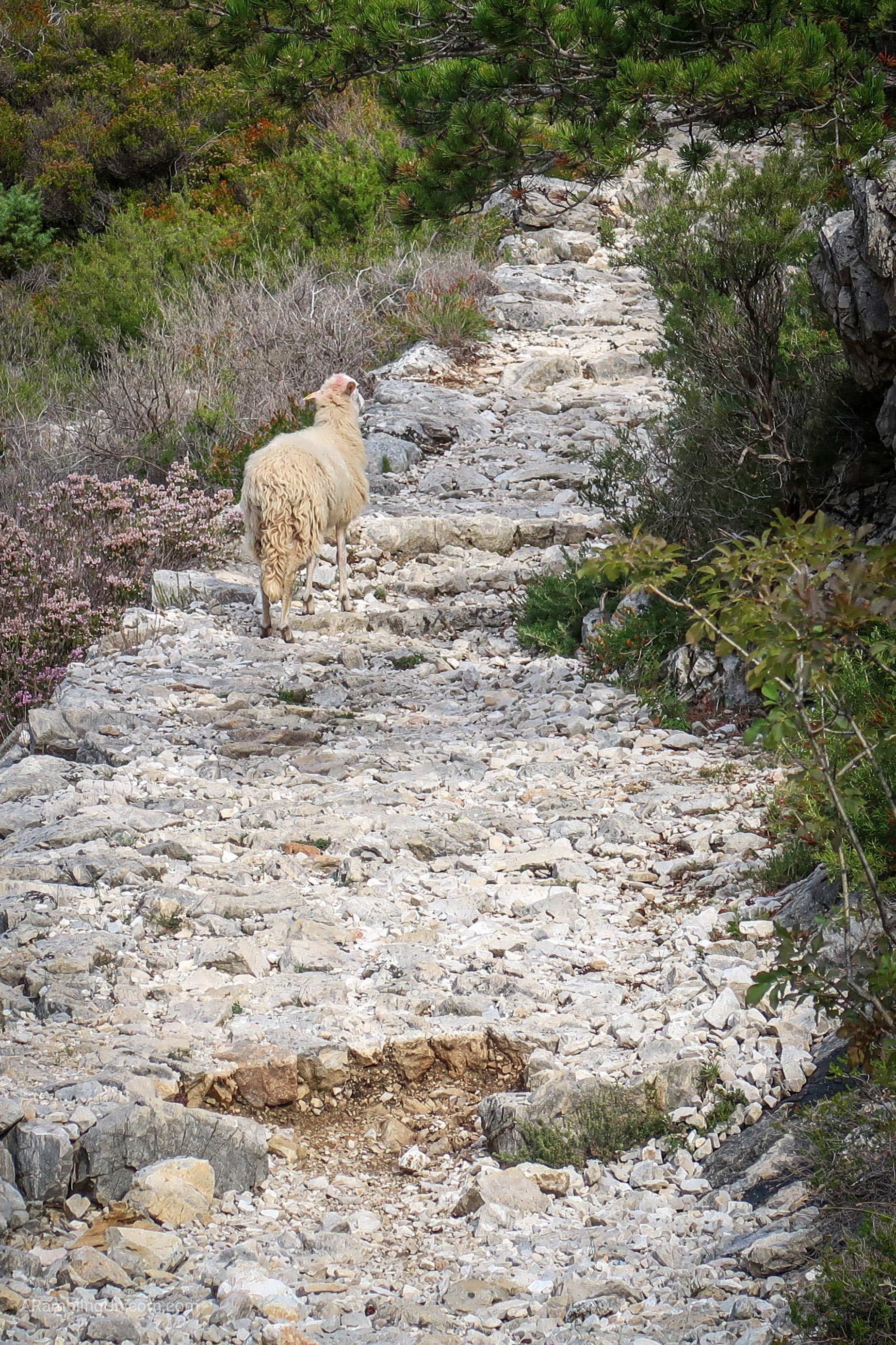
I soon found out. The clanging of a cowbell alerted me that I wasn’t alone. After rounding a corner I came upon a group of surprised sheep who quickly trotted in the other direction. I continued to run into sheep as I hiked, but they were really skittish and it was hard to get a good photo. Mostly I got pictures of sheep butts as they ran away.
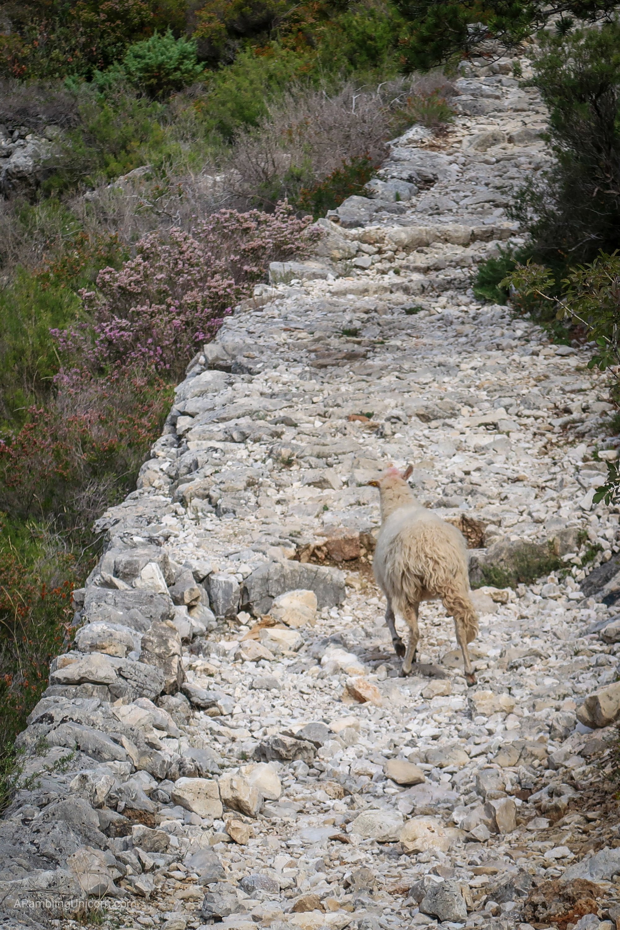
This sheep is making a break for it.
See ya later, sheep!
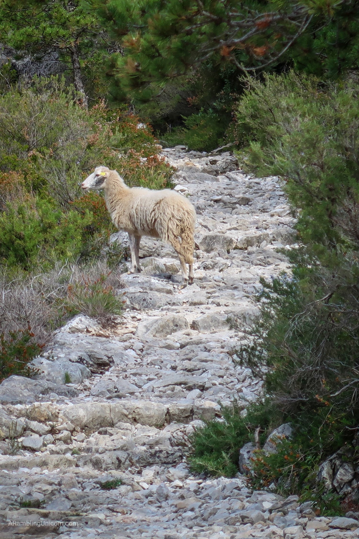
Sheep in profile.
Eventually I reached the top of the ridge. I assumed that I’d reached the summit, which was fine by me as I was feeling worn out and looking forward to turning around. After looking around a little, I located the summit about a kilometer away along the ridge. Uggghhhh…
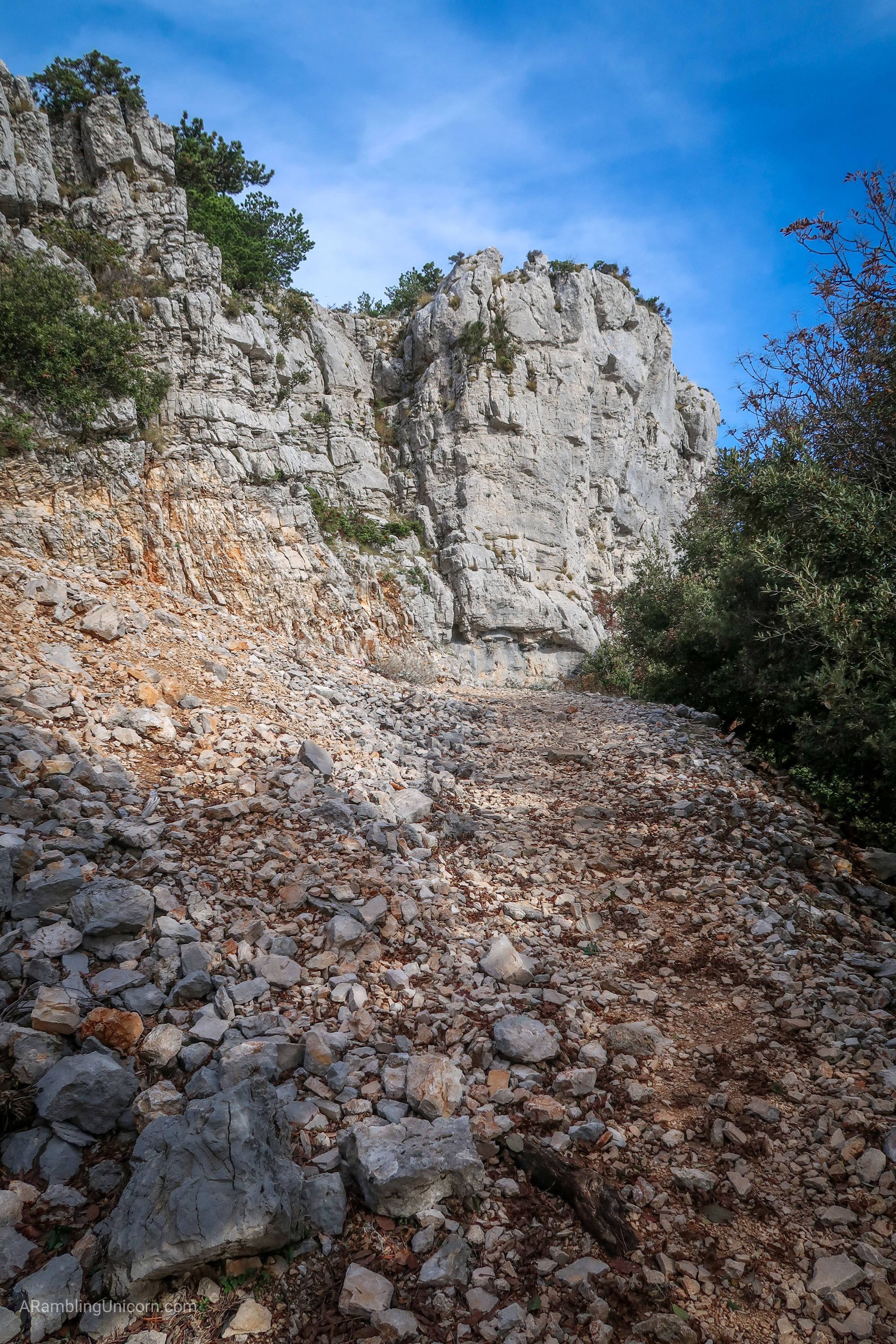
Hiking up the rocky path to the top of the ridge.
Thankfully this trail has lots of switchbacks so it’s not too steep.
Approaching the top of the ridge.
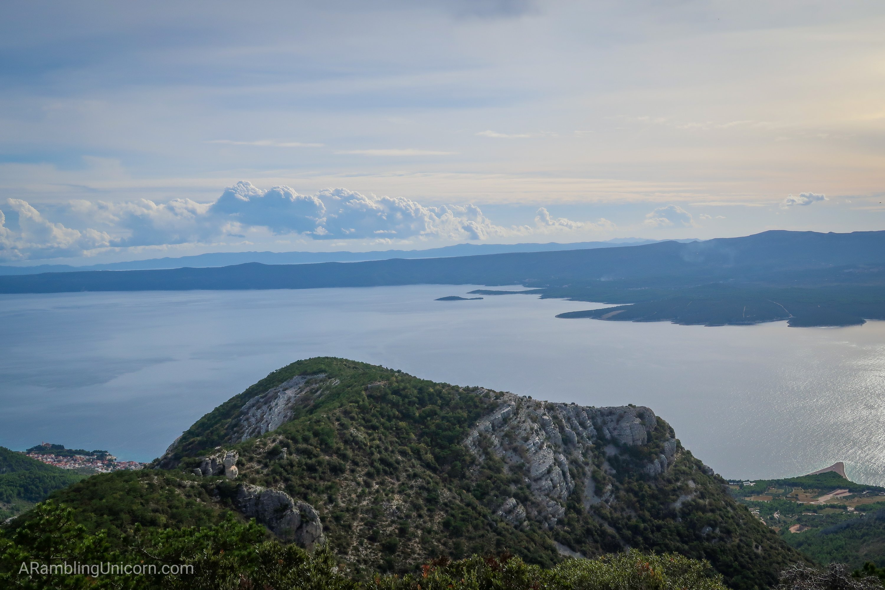
Views from the top of the ridge. Zlatni Rat beach is visible below in the lower right-hand corner.
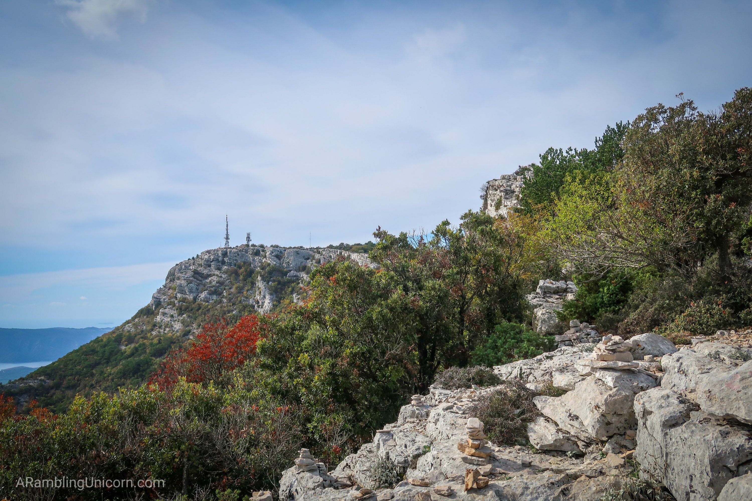
The summit is further along the ridge to the left, marked by radio towers. Whelp. I guess I still have a ways to go yet.
Well I’d come this far, I wasn’t going to back out now. So I kept going. On the bright side, I passed some more sheep and managed to get a decent photo before they all ran away again.
Waking along the ridge towards the summit.
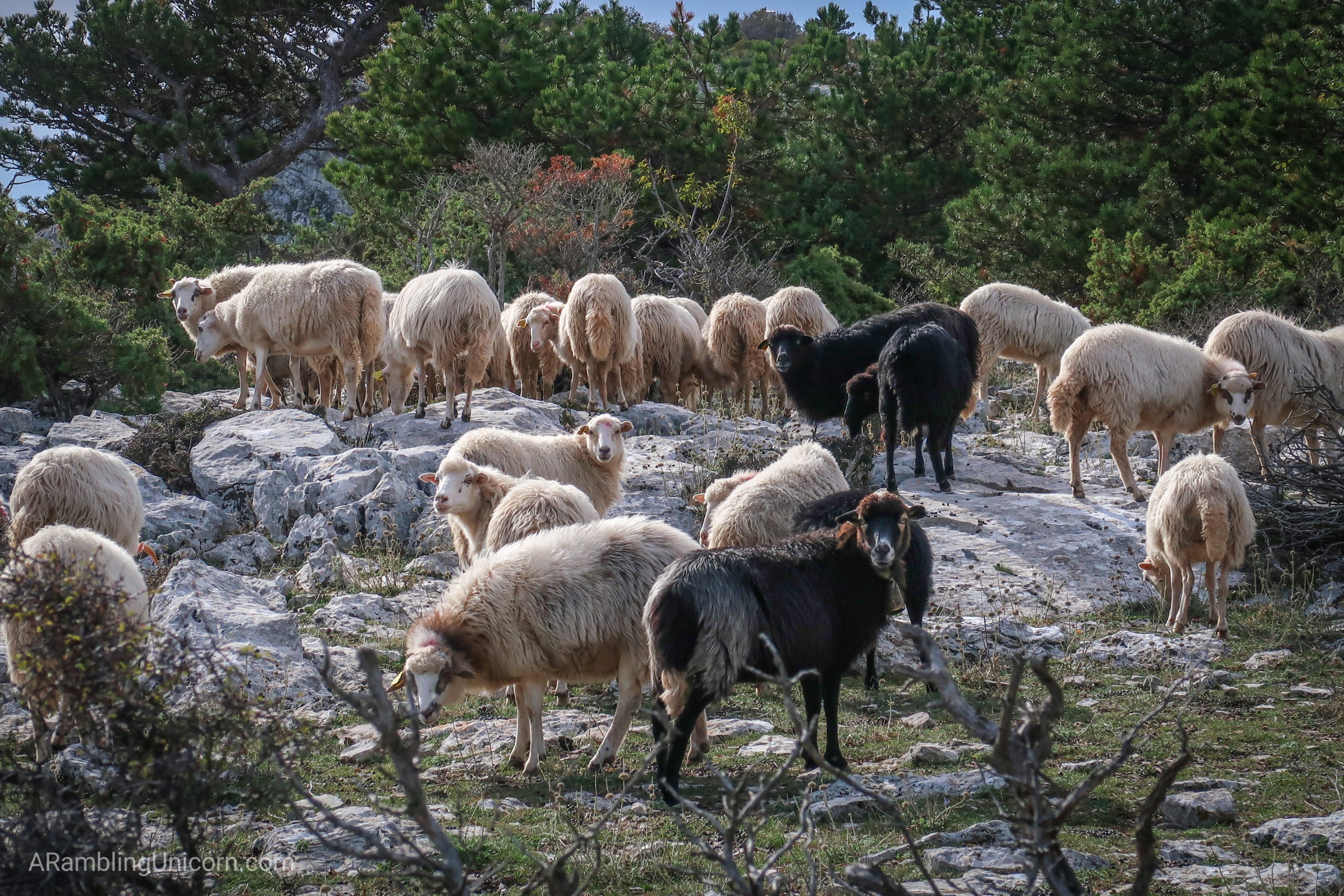
Sheep!! What’s up, my dudes?
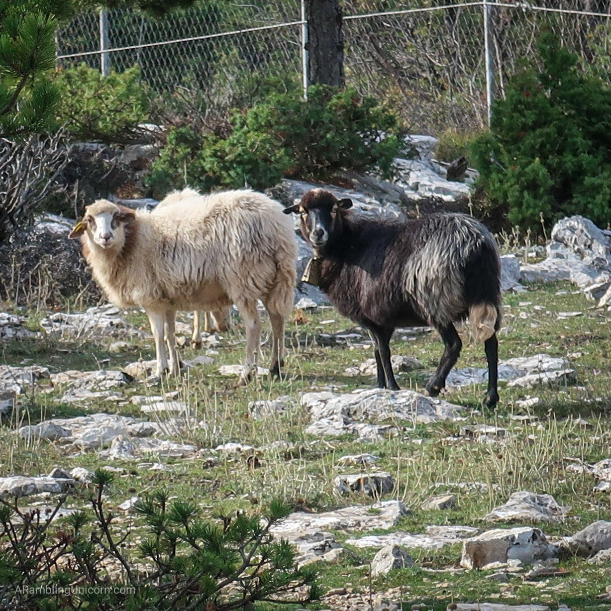
The black sheep is the one with the cowbell.
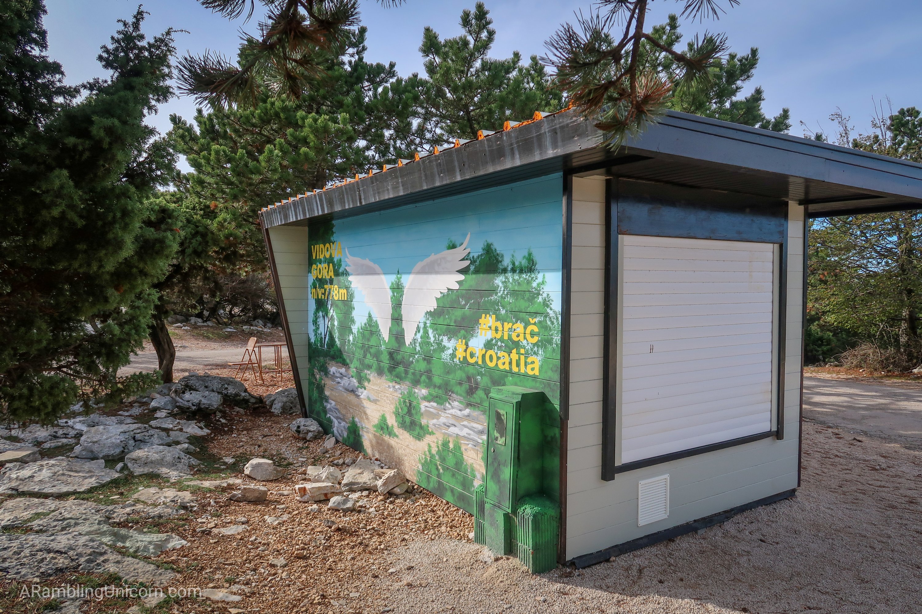
Apparently a stand sells snacks at the top, but it’s closed for the season. Did I mention that a road also leads to the summit? That’s how most people get up here.
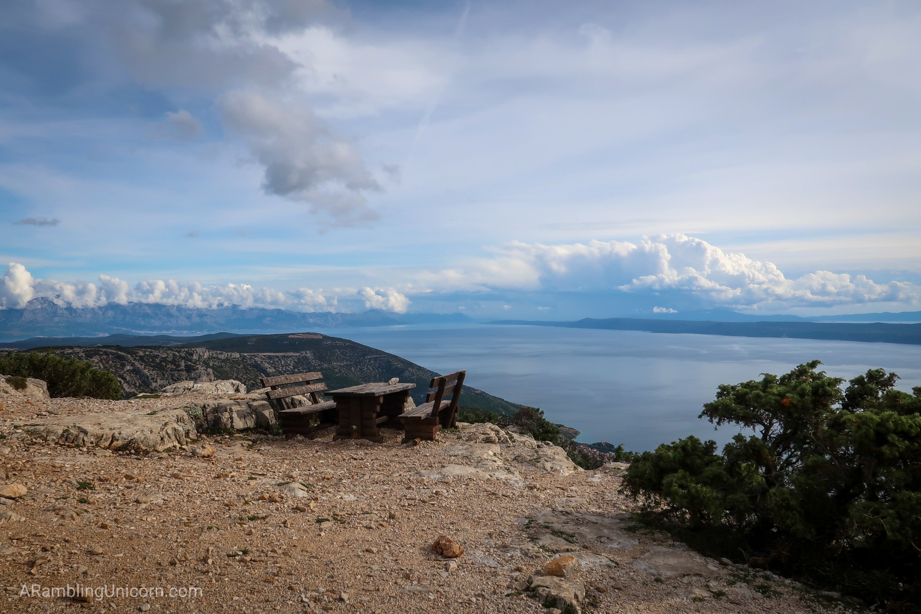
The summit was spectacular. I had a bird’s eye view of Zlatni Rat beach, as well as incredible views of all the neighboring islands and the Croatian mainland. It was definitely worth the extra effort to make it all the way to the top. Plus there was a picnic table for me to sit at while I ate my lunch!
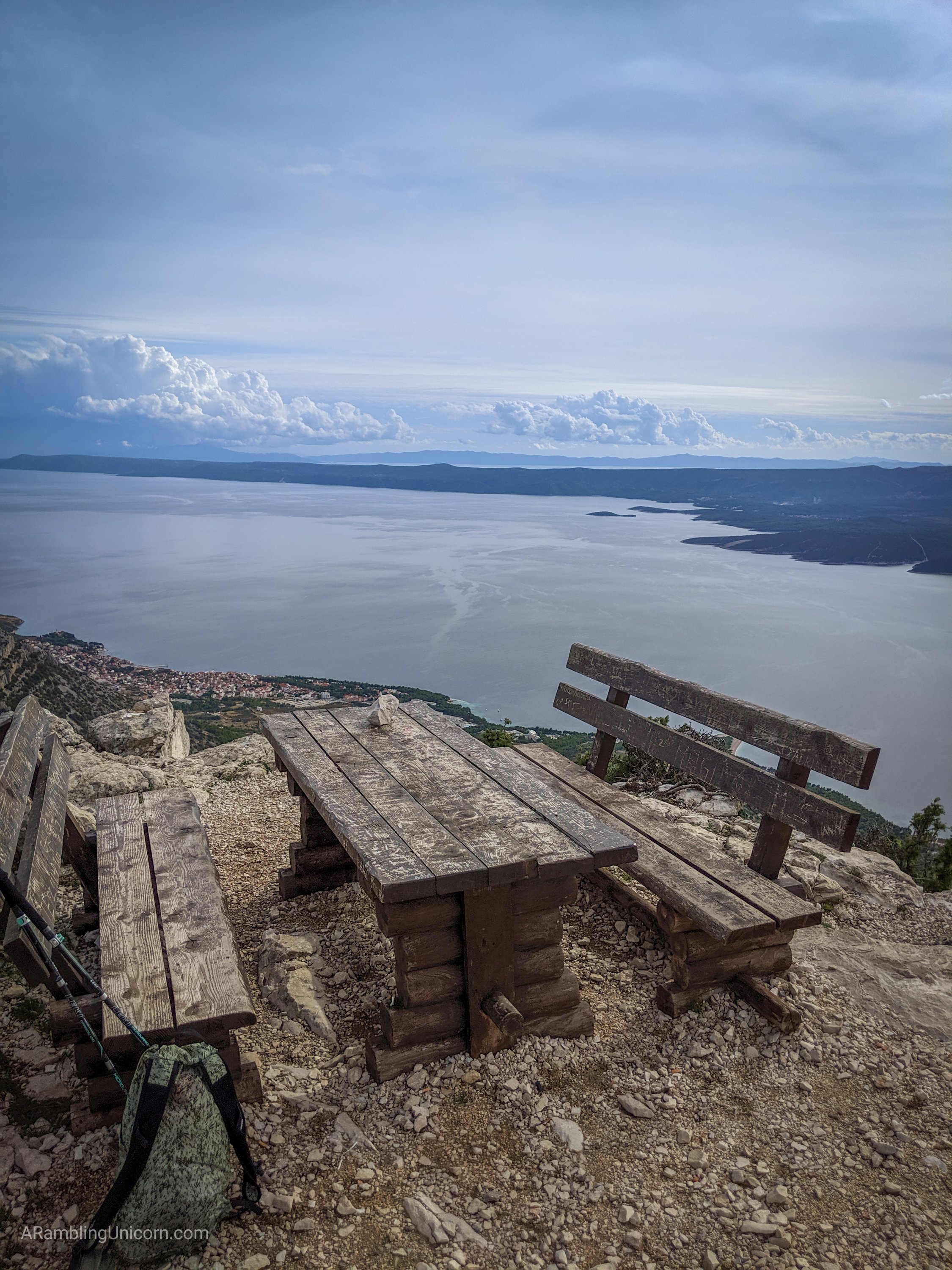
Picnic bench at the top of Vidova Gora.

Views from Vidova Gora, looking southeast. Zlatni Rat is visible below and the Island of Hvar is visible in the distance.
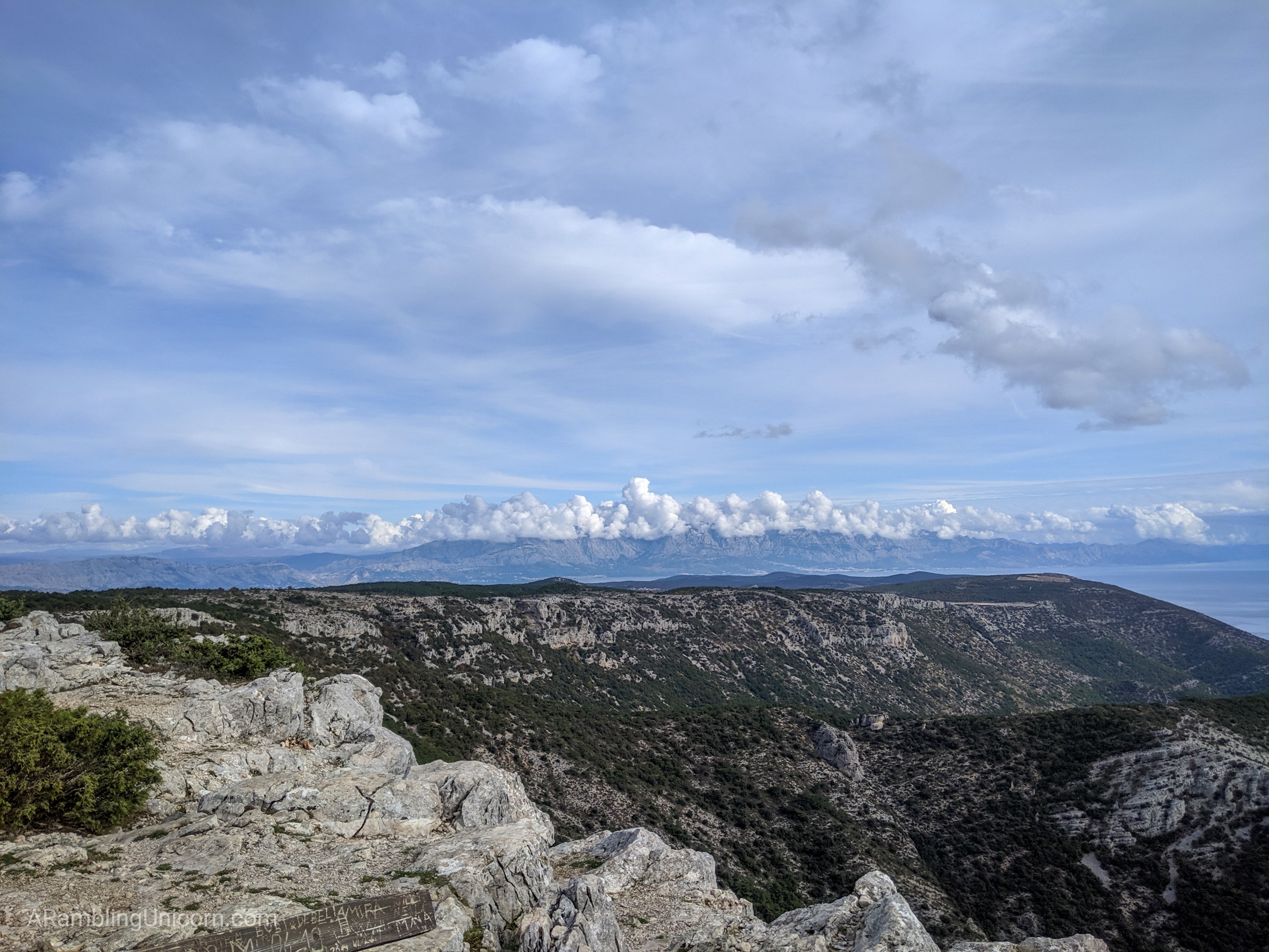
Views from Vidova Gora looking northeast. The Croatian mainland is visible in the distance.
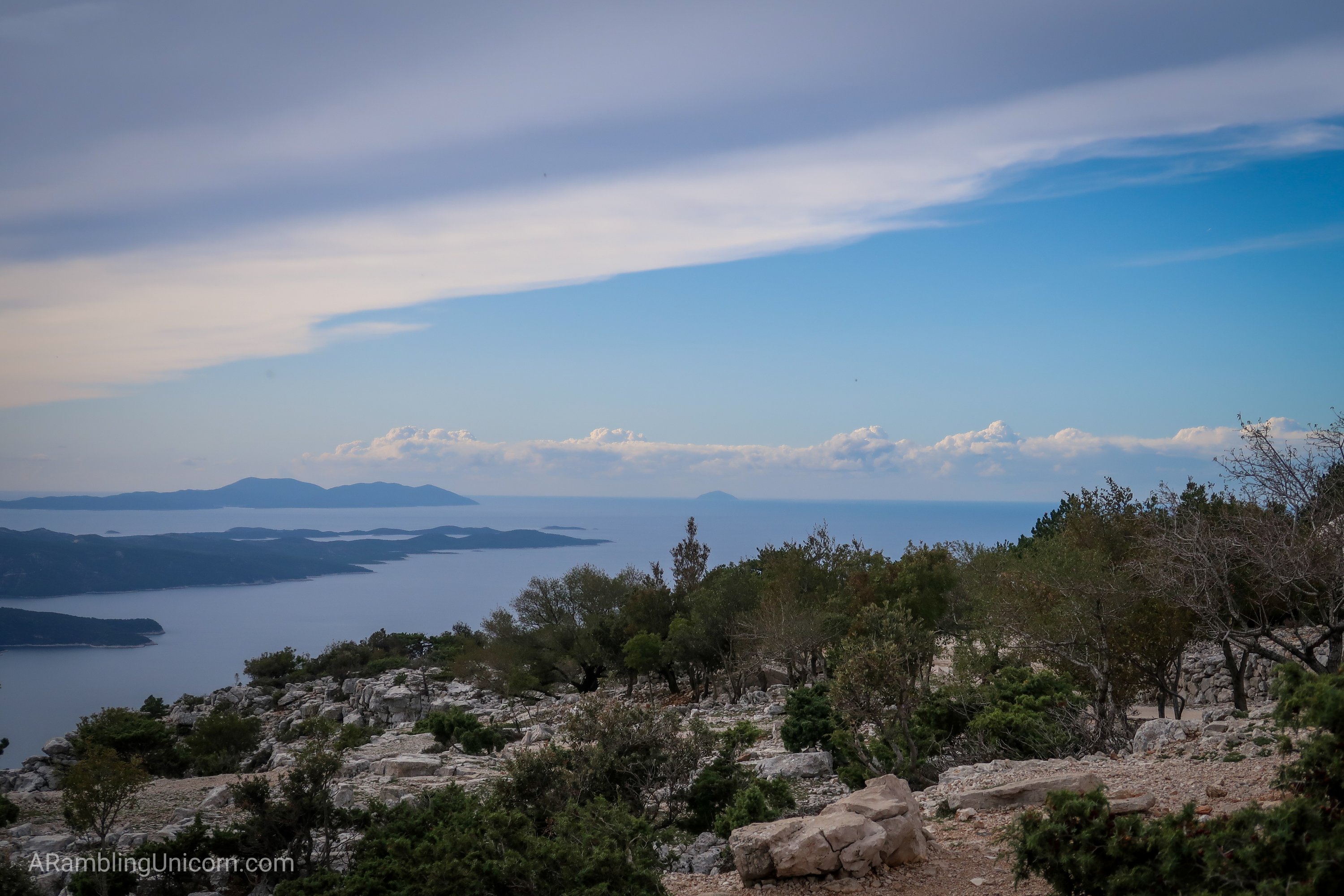
Views from Vidova Gora looking southwest. Hvar and Vis islands are visible in the distance.
More information about hiking the Vidova Gora Trail is available at the following links.
- Hiking Vidova Gora on the Island of BraÄ, Croatia – on the Earth Trekkers blog
- Vidova Gora Trail – on AllTrails.com
Read my other blog post about our visit to Bol here:


0 Comments