7 miles
2850 feet elevation gain
While researching new trails that are within reasonable driving distance, I came across Bandera Mountain. I remember seeing the peak on a map when I previously hiked in the Alpine Lakes Wilderness and I was curious to check it out. I briefly skimmed through the description on the Washington Trails Association‘s website and noted that the last section gets a bit steep. The total distance and elevation gain of the hike overall didn’t seem that bad though. How hard could it be?
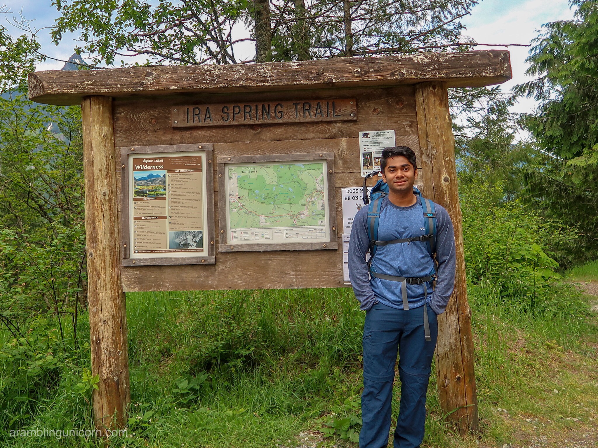
Ash Poses at the Ira Spring Trailhead Sign
The answer, as it turns out, is pretty darn hard. I’m not a fan of particularly steep hikes, if you’ll recall, and this is definitely the steepest hike that I’ve ever attempted (with the exception of Half Dome in Yosemite National Park).
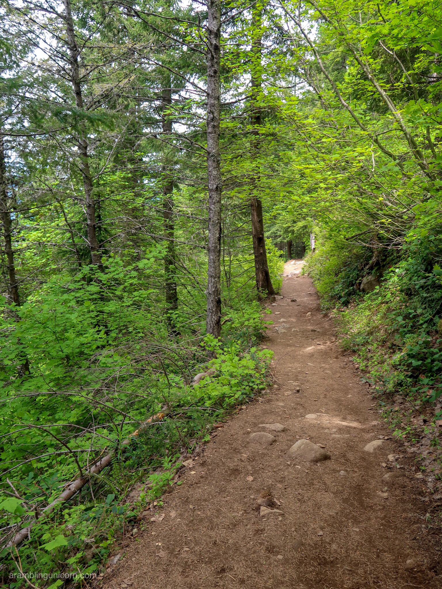
The Easy-to-Follow Ira Spring Trail – Near the Trailhead
The Ira Spring Trail – near the junction for Bandera Mountain
The trail starts out easy enough. The Ira Spring Trail is a wide, well-maintained path with a moderate incline that originates from the Ira Spring Trailhead. I arrived at the parking lot shortly after 8:00 am on Sunday morning with my hiking partner, Ash. The trailhead is a popular starting point for several beloved trails including Mount Defiance, Mason Lakes and, of course, Bandera Mountain. We were lucky enough to grab one of the last available parking spots and were on the trail by 8:30 am.
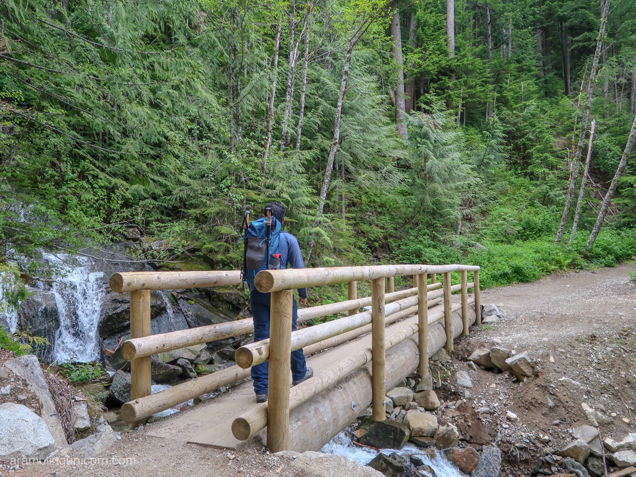
Bridge Crossing over Mason Creek
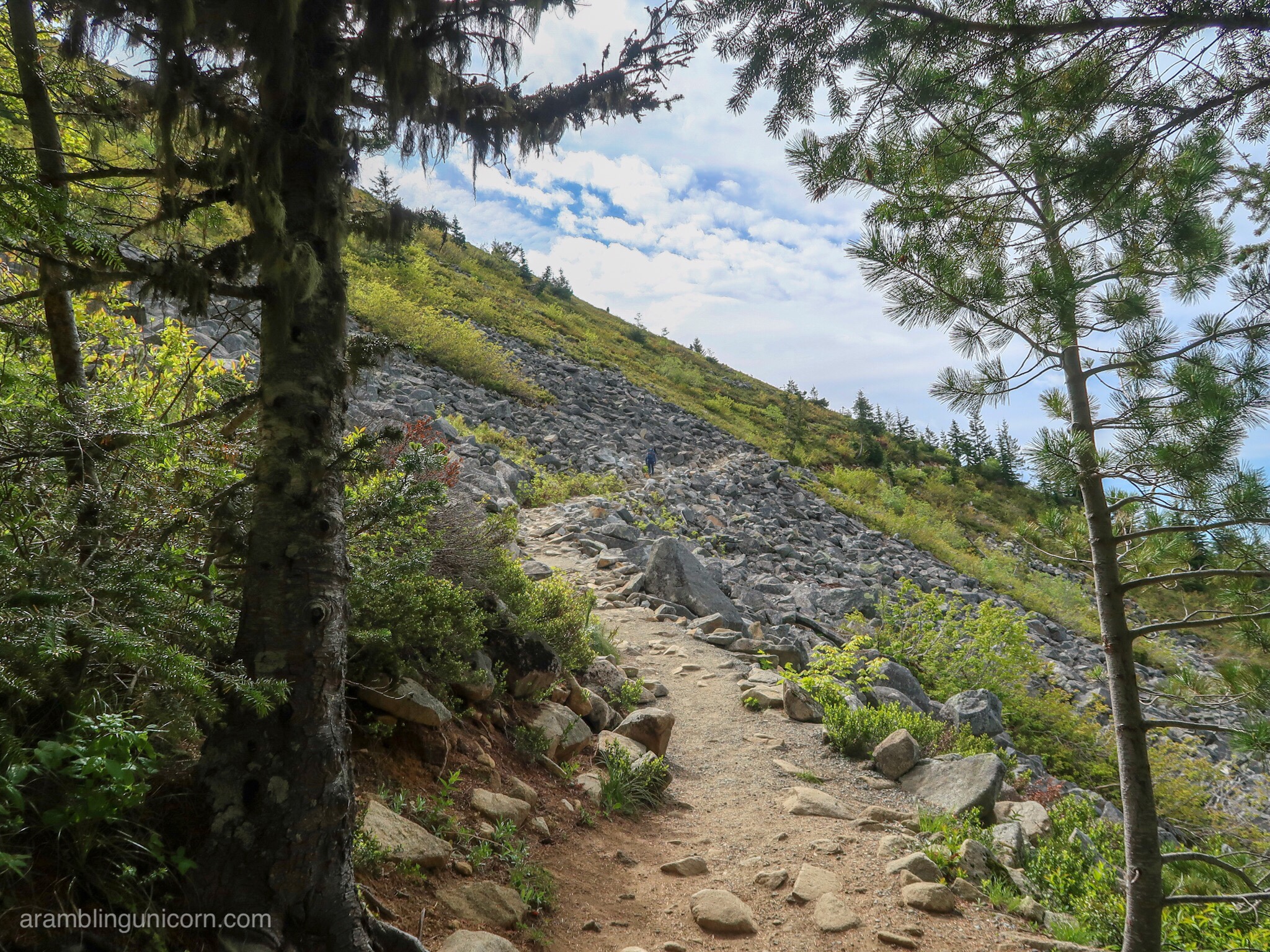
We followed the trail for 2.4 miles until we came to the junction for Bandera Mountain – and that’s when the fun really began. The trail pretty much climbs straight up the mountain, forcing one to scramble over rocks and boulders along the way. At one point an empty water bottle fell out of my backpack down the trail when I bent over a particularly large rock, and I had to backtrack to retrieve it.
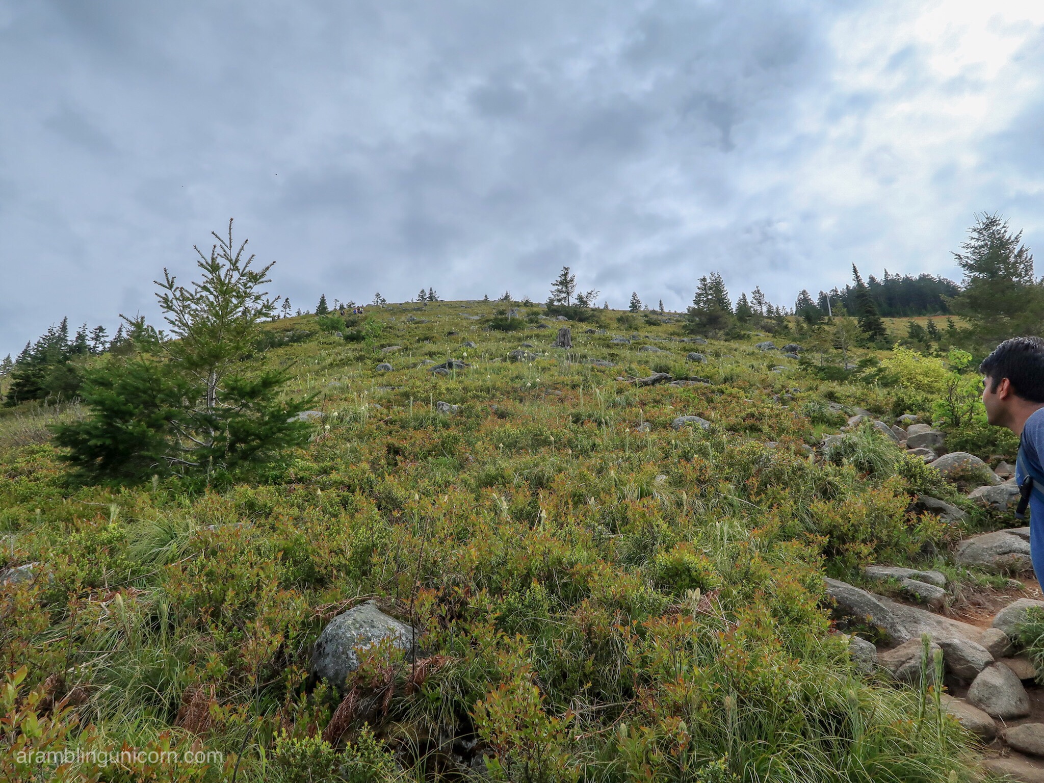
The trail goes more or less straight up this hill
The view as we scrambled up the hill
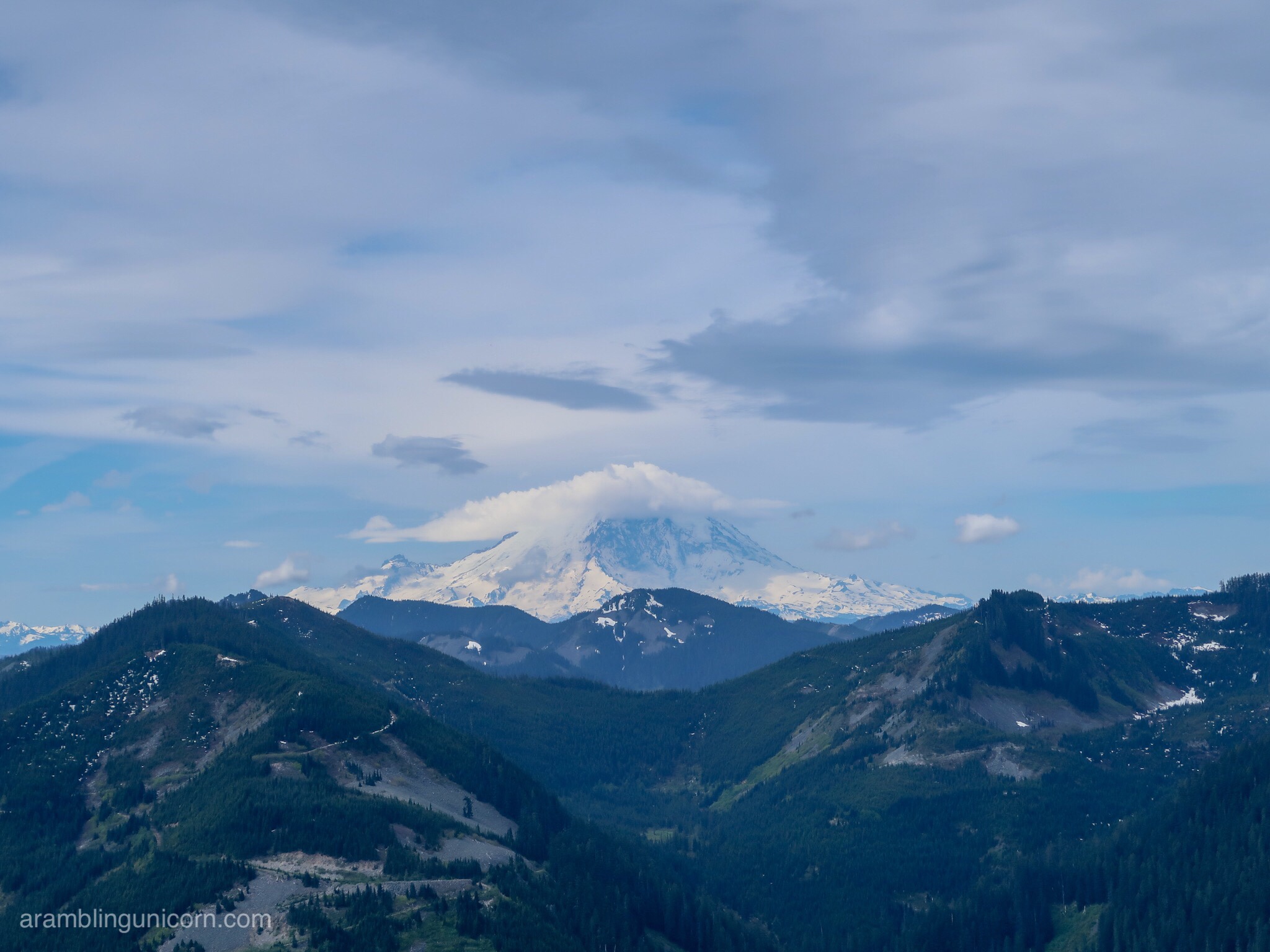
Views of Mt. Rainier before the clouds rolled in
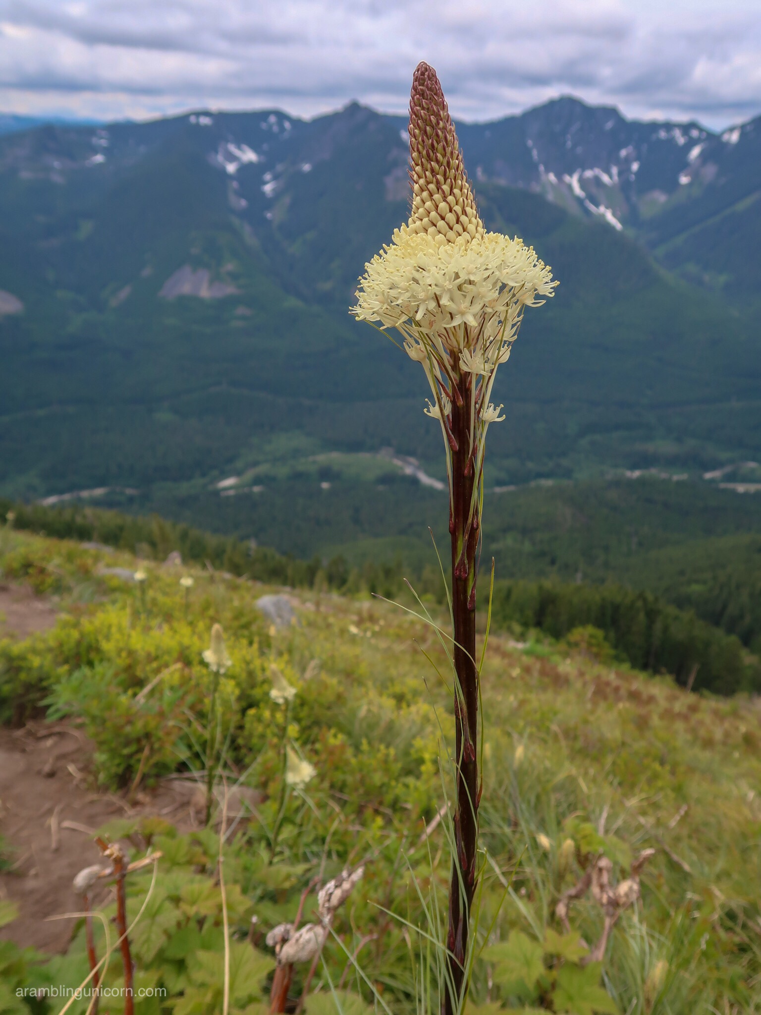
After scrambling up the hill, the incline lessens somewhat as the trail follows a ridge for the rest of the way to the summit. We did cross one snowdrift on the way up but it was small and easy to navigate. Snowdrifts flanked the trail to the west, where we were treated to gorgeous views of Mason Lakes and Mount Defiance.
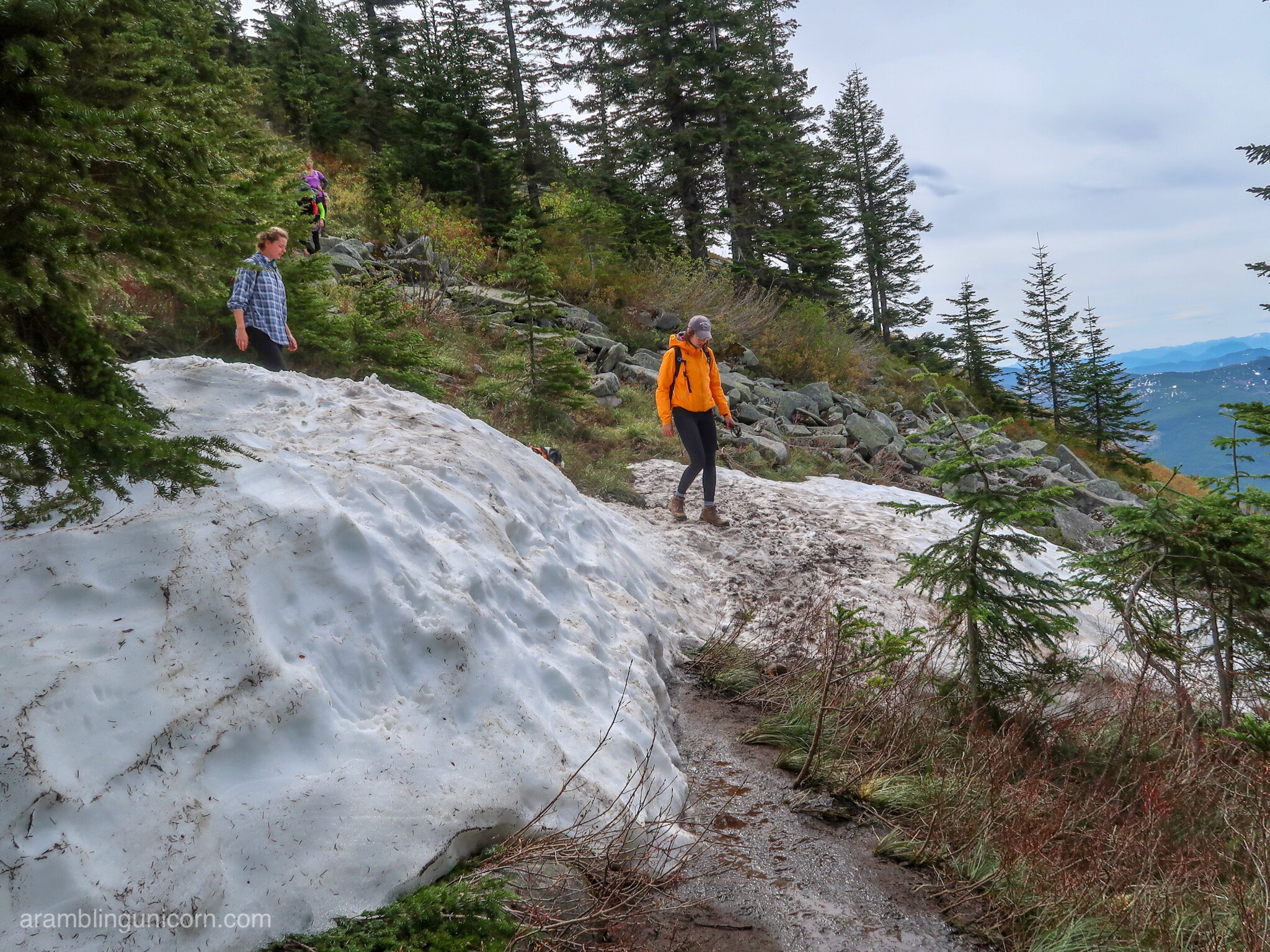
Crossing the one remaining snowfield covering the trail
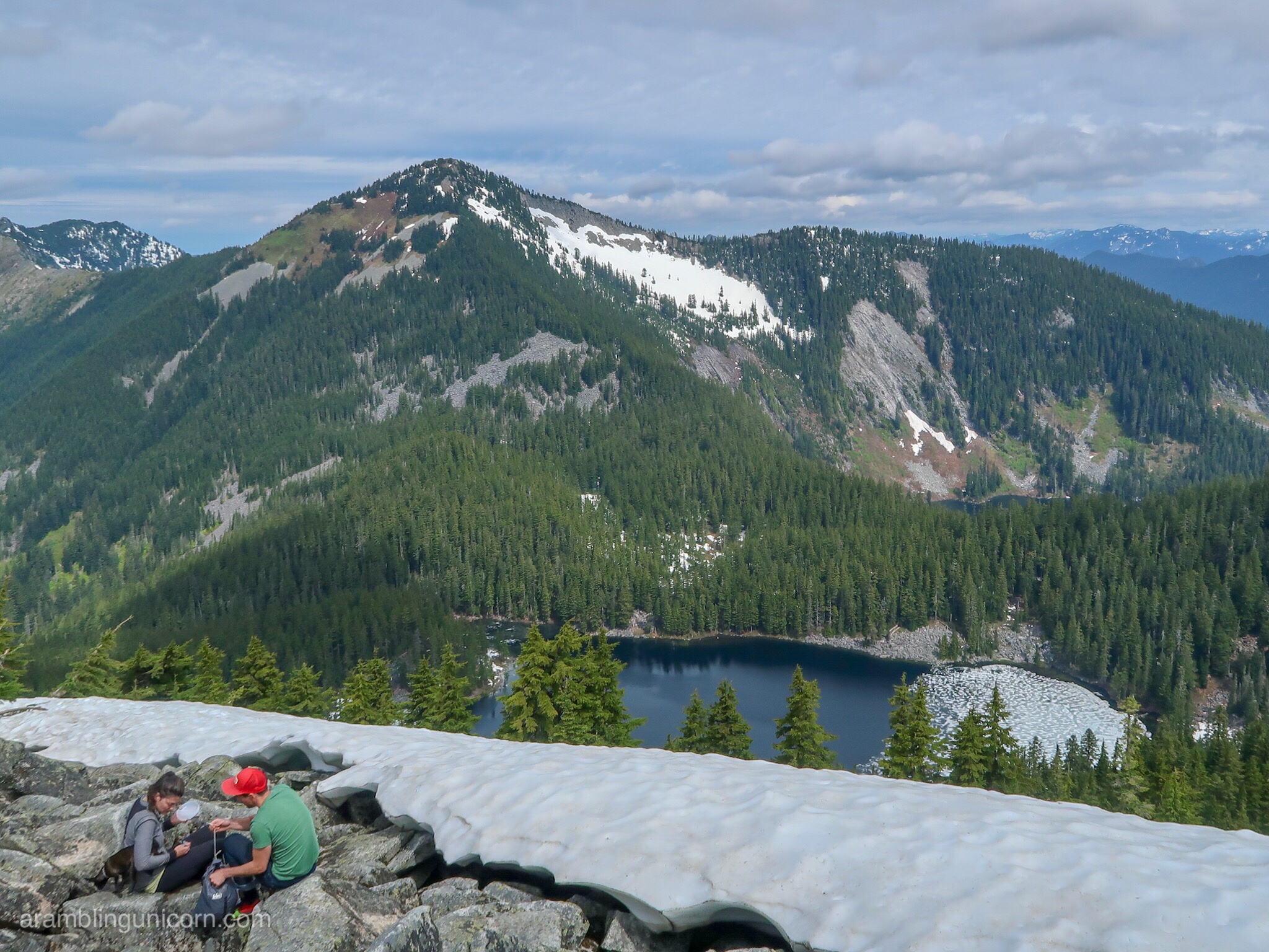
Mt. Defiance and Mason Lakes
We decided to end our hike at Little Bandera rather than continue on to the actual summit. Clouds were starting to roll in and obscured Mount Rainier to the south, but it was still a magnificent view.
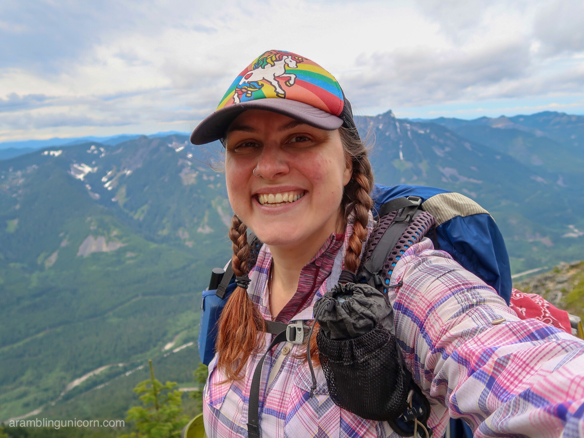
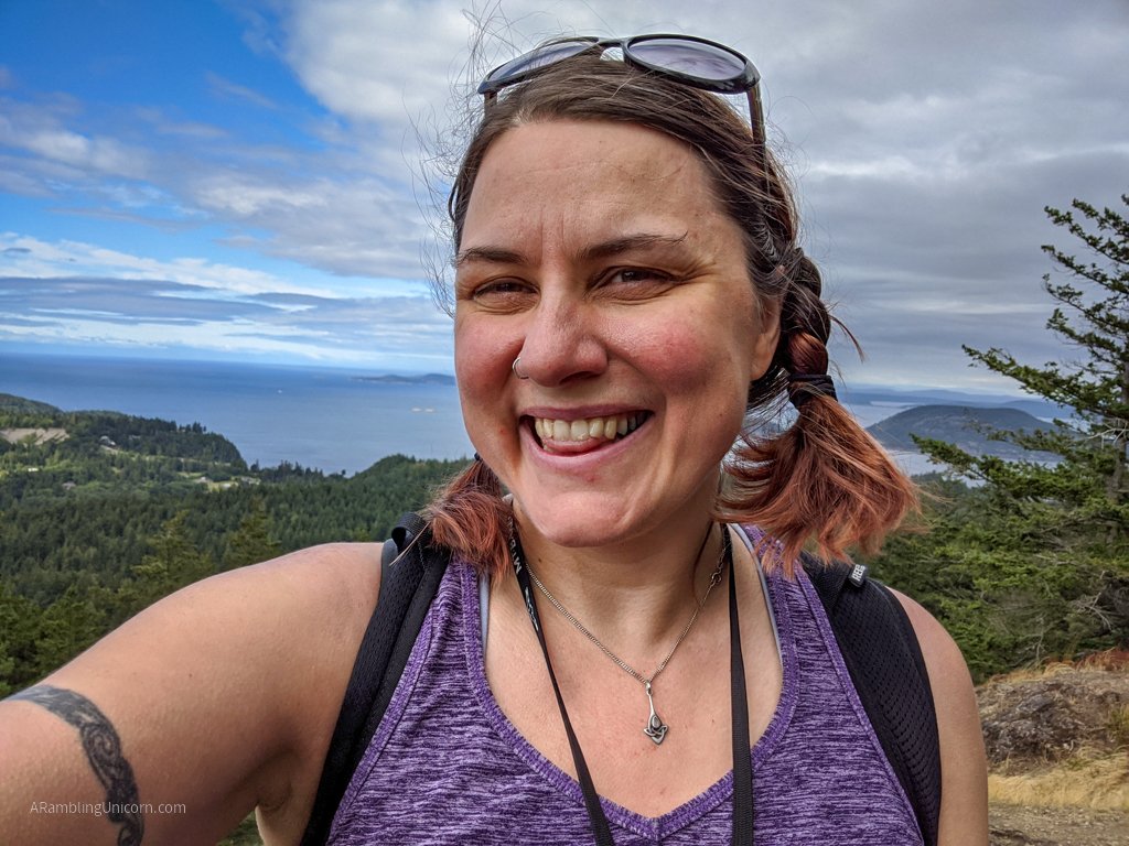
Summit selfie. McClellan Butte is behind me to the right.  Rainier would be to my left but it’s covered by clouds.
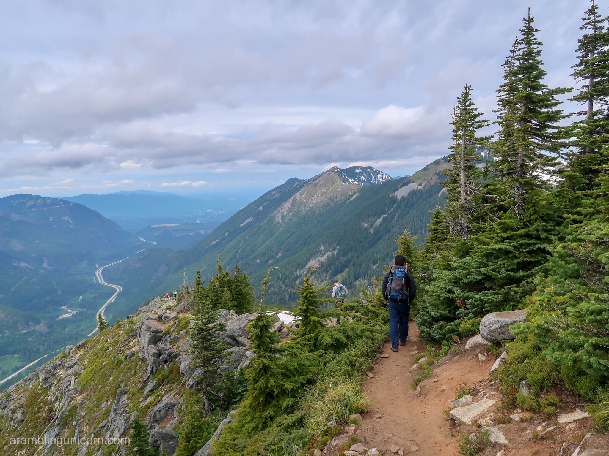
Ash begins his descent down the mountain
I’m glad I made it to the top but I doubt I’ll hike this one again. There are just too many other amazing hikes in Washington state for me to explore. I’ll leave Bandera Mountain for more adventurous souls.
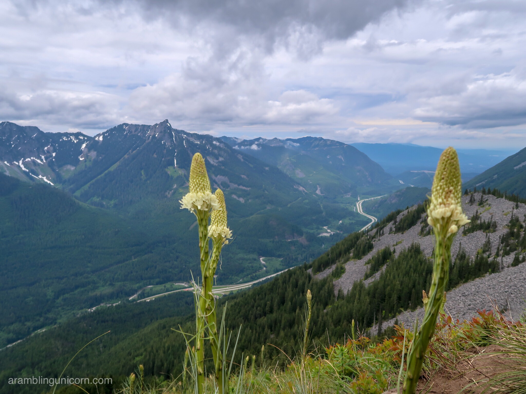
Views from Bandera Mountain of the the I-90 Corridor towards Puget Sound


0 Comments