
Whenever I visit a new destination, the first thing I do is look up the best local trails and walking paths.
During a recent trip to Winchester, I was delighted to learn about the wealth of trails in the area. Several long-distance paths are available which connect nearby cities. There are also abundant hiking opportunities in the adjacent South Downs National Park.
But nothing grabbed my imagination so much as the Cheesefoot Head Walk (also known as Matterley Bowl).
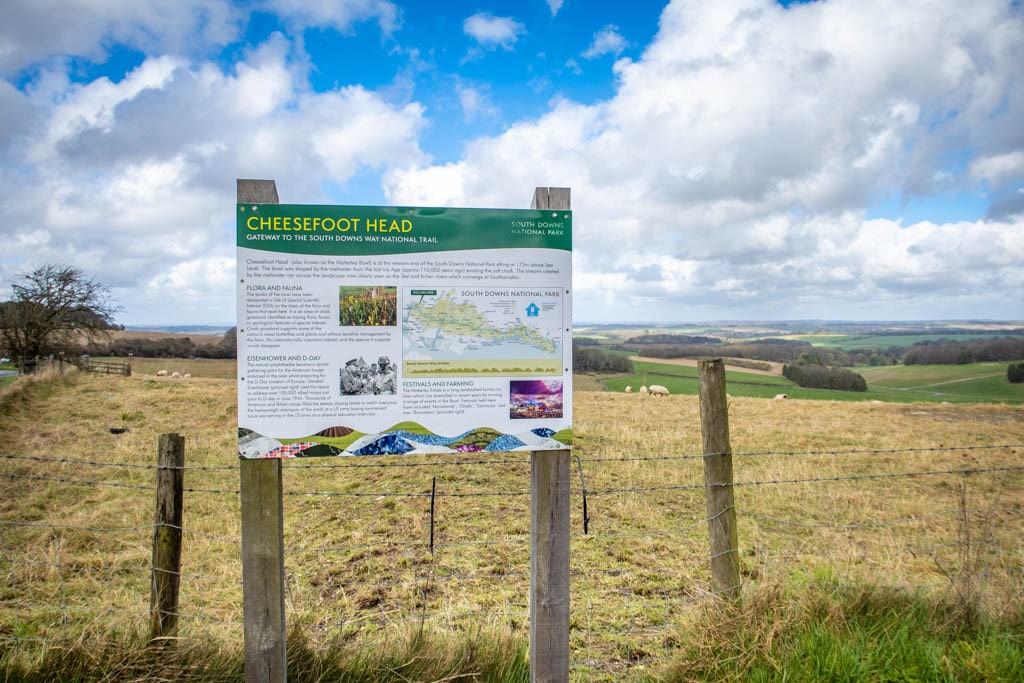
Located about 2.6 miles east of Winchester, Cheesefoot Head is a naturally-occurring amphitheater in South Downs National Park. Designated as a biological Site of Special Scientific Interest, the site is renowned for its beautiful views and one of the best walks in Winchester.

Cheesefoot Way Trail through South Downs National Park
The amphitheater has a fascinating history too. It was used as a central gathering point for troops during World War II who were stationed in the area. Soldiers watched boxing matches at the site, including one with heavyweight world champion Joe Louis. General Eisenhower even addressed 100,00 allied troops here prior to D-Day.
I confess I didn’t know any of these details when I set out to hike this trail, however. All I knew was it has *the best name* for a location that I have EVER heard.
Despite my best efforts, I can’t find any details about how Cheesefoot Head got its name. If you have any insights please share a comment at the end of the article.
Inquiring minds want to know!
Welcome to Cheesefoot Head!
Table of Contents
Cheesefoot Head Walk Details, Map & Directions
- Distance: 5.6 miles (9 km) there-and-back
- Elevation gain: 400 feet (120 m)
- South Downs Way Trailhead Location on Google Maps
The below map starts at the trailhead on Petersfield Road just prior to crossing the Winchester Bypass.
If you prefer to start walking at the Winchester Cathedral (which is the traditional starting point for the South Downs Way), you can follow the trail for South Downs Way and turn around when you reach Cheesefoot Head.
Winchester is located southwest of London in Hampshire. It is easily accessed by train (which takes about 1 hour). If you are coming from London, be sure to check out the Queen’s Walk for great views of the city.
South Downs Way National Trail
The first thing to know about the Cheesefoot Head Walk is that it is actually a short section of a much longer hiking path.
South Downs Way is a National Trail that stretches for 100 miles (160 km) from Winchester to Eastbourne. Highlights of the trail include the rolling hills of South Downs National Park, Buster Hill (a popular spot with paragliders) and the spectacular chalk cliffs of the Seven Sisters.
Thousands of visitors visit the trail each year either to hike a short section or to walk the entire length. It takes most walkers approximately 8 days to complete the whole trail in one go (although it is possible to walk longer or shorter distances each day).
Cheesefoot Head is known as the “Gateway to the South Downs Way National Trail” because it is the first major waypoint along the trail. When I hiked the trail, I met a couple of other walkers who were just starting out on their 8-day journey.
But if you aren’t up for a long-distance trek, simply turn around when you reach the natural amphitheater and head back to Winchester.

Follow the trail signs for South Downs Way!
My Experience Walking the Trail
Trailhead
While the traditional starting point for South Downs Way is at the Winchester Cathedral, it is not necessary to start there (unless you want to, of course!)
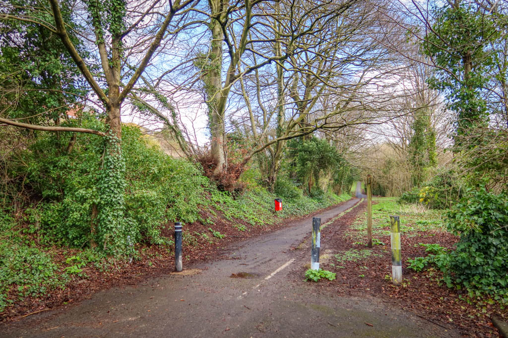
When I walked the trail, I started at the edge of town on Petersfield Road. This is where the trail diverges from the road and no cars are allowed past this point.
There is space for a few cars to park alongside the edge of the road here if you choose to drive.
From the trailhead, the path heads east and then crosses a highway overpass above the Winchester Bypass.
Trailhead for the Cheesefoot Head Walk
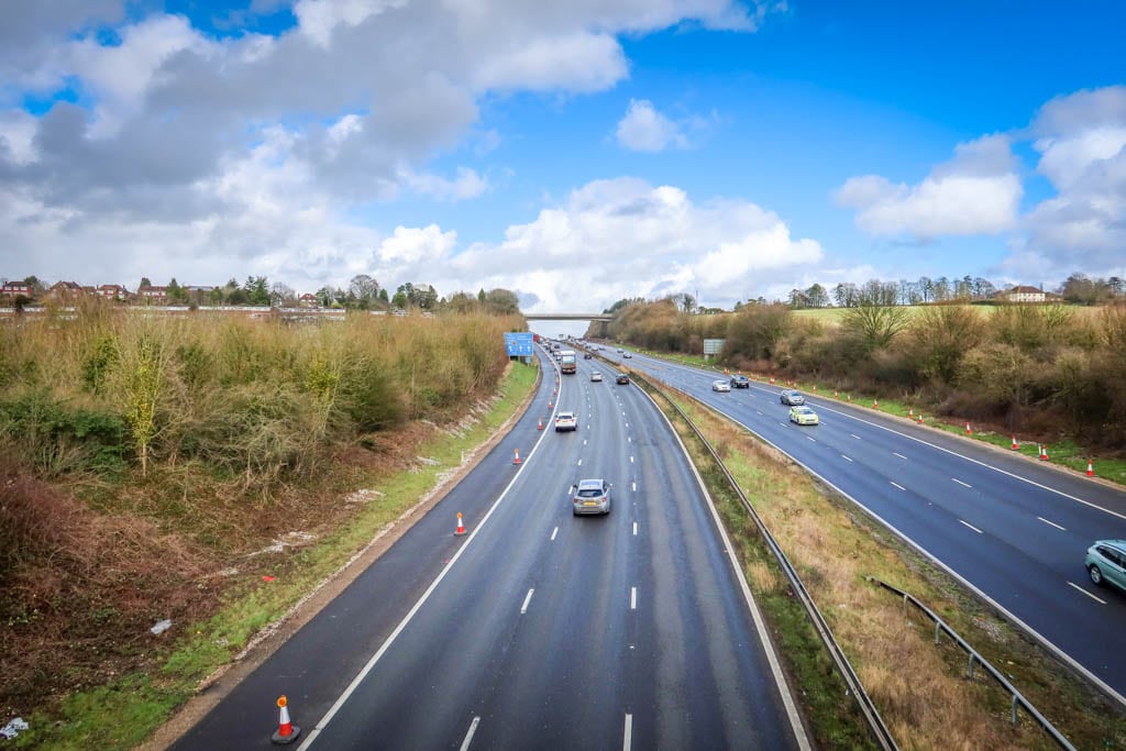
Crossing over the highway overpass
Entering South Downs National Park
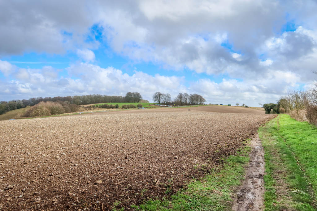
Once on the other side of the bridge, you’ll reach a junction. Take the left fork to continue along the South Downs Way. From there, you’ll walk east though a series of fields along a hedgerow.
This is where the path officially enters South Downs National Park and the trail begins in earnest. There are lovely views of the South Downs and picturesque farmland in this area – and it just keeps getting better as the path continues!
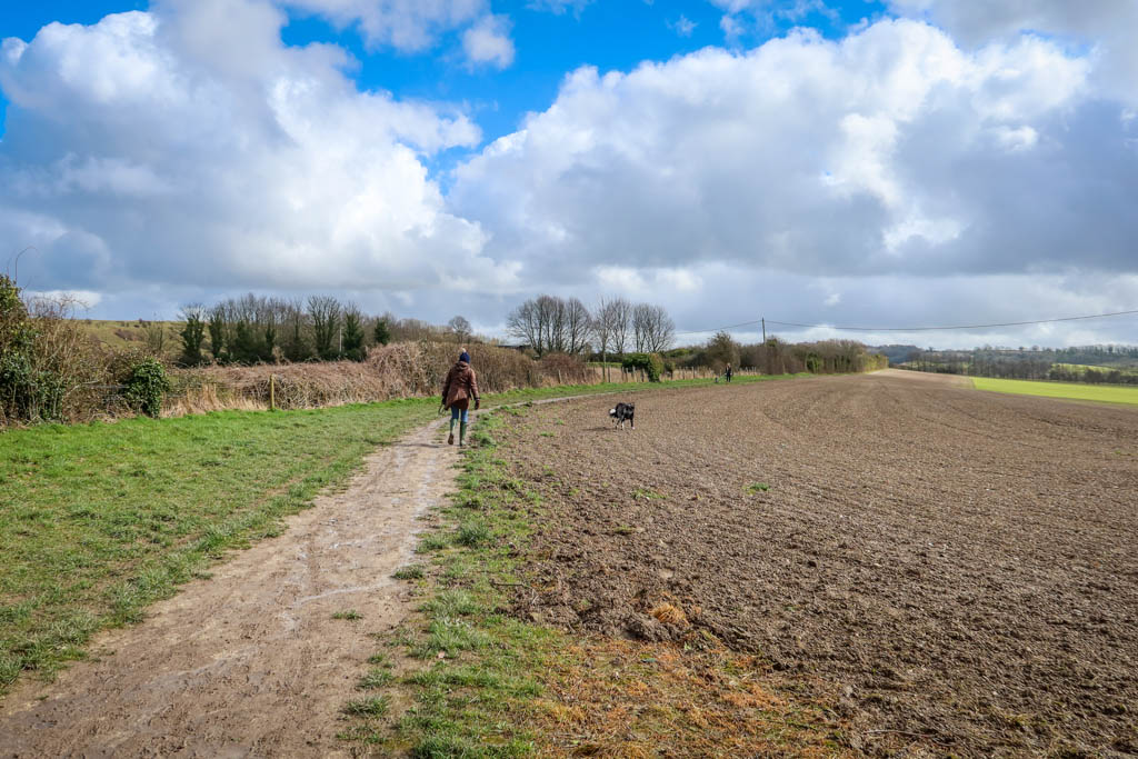
Cheesefoot Head Walk near Winchester is popular with dog walkers

Lovely views!
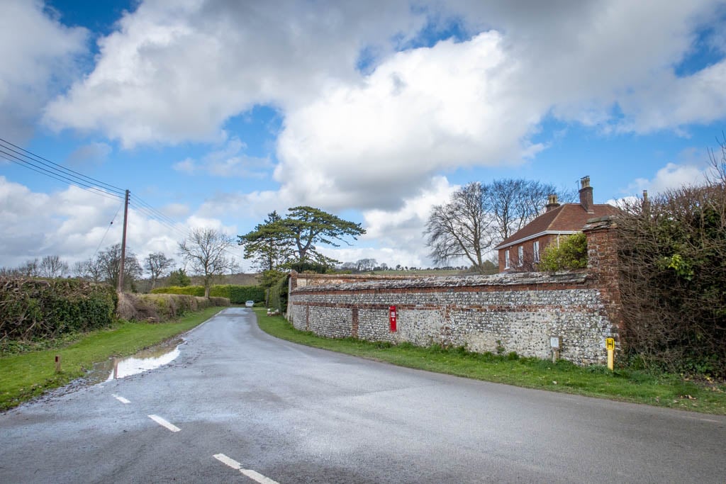
Chilcomb
After .6 miles, the path emerges from the field into an intersection. Here the path rejoins a country road called the South Downs Way and continues east through the hamlet of Chilcomb.
The village is very small (population 91) so it doesn’t take very long to walk past it.
The South Downs Way emerges from a field onto a road again at Chilcomb
Welcome to Chilcomb!
Chilcomb Wood
After passing through Chilcomb, the path begins sloping uphill as it continues east through a wooded area called Chilcomb Wood.
Just past Chilcomb Wood, the paved road ends and the trail reaches a trail junction. The Chilcomb firing range is to the right.
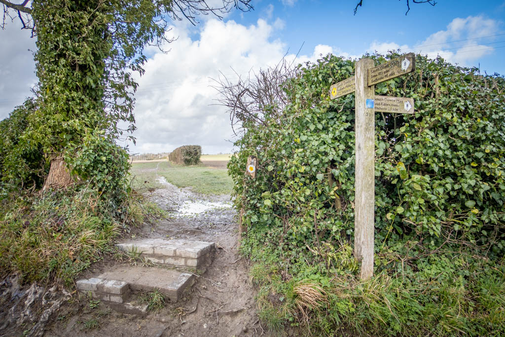
Take the dirt road to the left and continue uphill for .3 miles until you reach another trail junction. At this point, the trail diverges from the road again and follows dirt paths and hedgerows until reaching Cheesefoot Head.
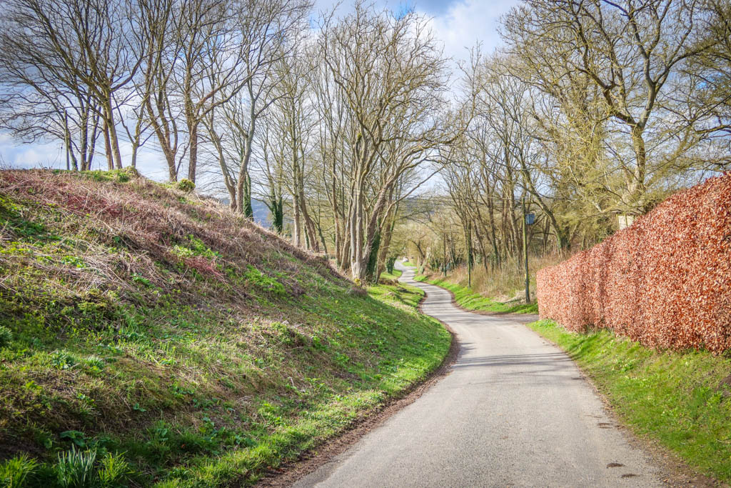
Approaching Chilcomb Wood

Heading away from the Chilcomb firing range
Follow the hedgerows to Cheesefoot Head!
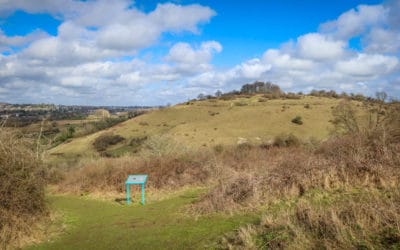
Cheesefoot Head
The endpoint for this hike is located just past Petersfield Road (A272). It is a busy road so take care when crossing the street.
While the South Downs Way officially continues straight ahead, you can take a right on the spur trail to the parking area. During my visit, there was a coffee cart parked in the parking lot and I had a nice beverage before heading back to Winchester.
When I hiked this trail, I didn’t know anything about local geography or history. It turns out that Matterley Bowl is also the site of an annual music festival called Boomtown.
I didn’t know any of this at the time, however, and did not continue walking to get better views of the amphitheater. I regret this now and wish I had explored the area more.
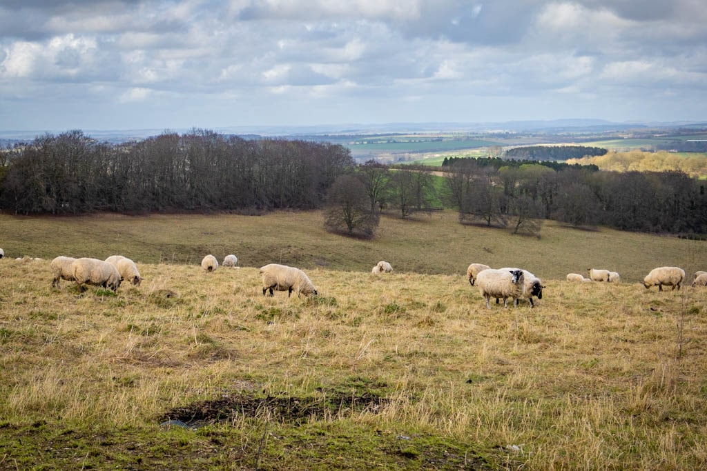
Cheep grazing at Cheesefoot Head
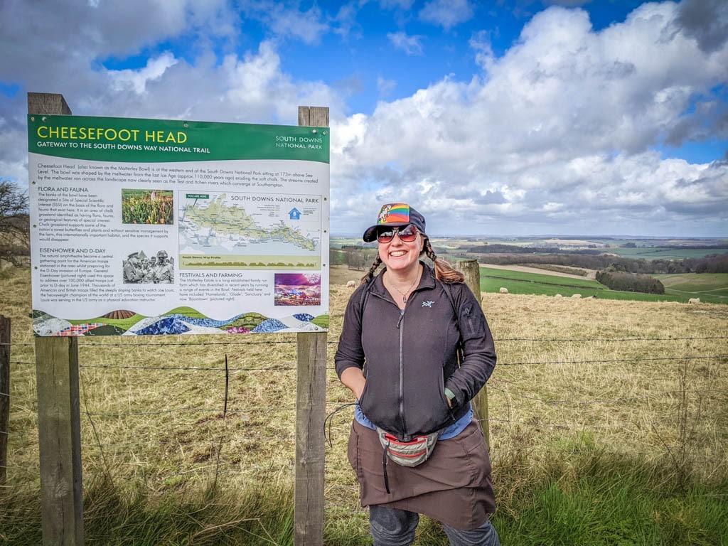
I made it to Cheesefoot Head!
Preparing to Hike the Cheesefoot Head Trail
Before setting out on this or any hike, make sure you are prepared with water, snacks, sturdy walking shoes and any other gear you may need for the day’s weather (sun hat, rain gear, etc). Learn how to pee outside before hitting the trail and be sure to leave no trace of your visit behind.
Be aware that the path can get quite muddy if it’s been raining recently. So be prepared with proper footwear.
Here is a list of some of my favorite gear for day hiking.
- Hiking Shoes – Sturdy hiking or walking shoes are a must. Personally, I’m a big fan of Altra Timp Trail Running Shoes. That being said, they aren’t waterproof and so consider a waterproof boot or shoe if it’s super muddy out.
- Socks – Good thick socks are also important. I usually wear a pair of double-walled Wrightsock Coolmesh II socks with my Altras. For longer hikes, I switch to Injinji Midweight socks to prevent toe blisters.
- Backpack – A backpack is essential so you can carry water, layers, and snacks. I love Ospreys and use the Osprey Manta pack which is technically a men’s pack (because I have a longer torso than most women). The women’s equivalent is the Osprey Mira pack.
- Hiking Poles – Hiking poles reduce pressure on your joints and help maintain your balance if you trip. My current favorites are the LEKI Micro Vario Carbon Trekking Poles because they are super lightweight and fold down to easily fit into my suitcase.
- Electronics – if you are using your phone for navigation, bring a portable battery such as the Anker portable battery charger.
- Camera – I love taking photos and always bring a camera along on my hiking trips. I use the Canon PowerShot G7X Mark III because it is lightweight yet has many advanced features.
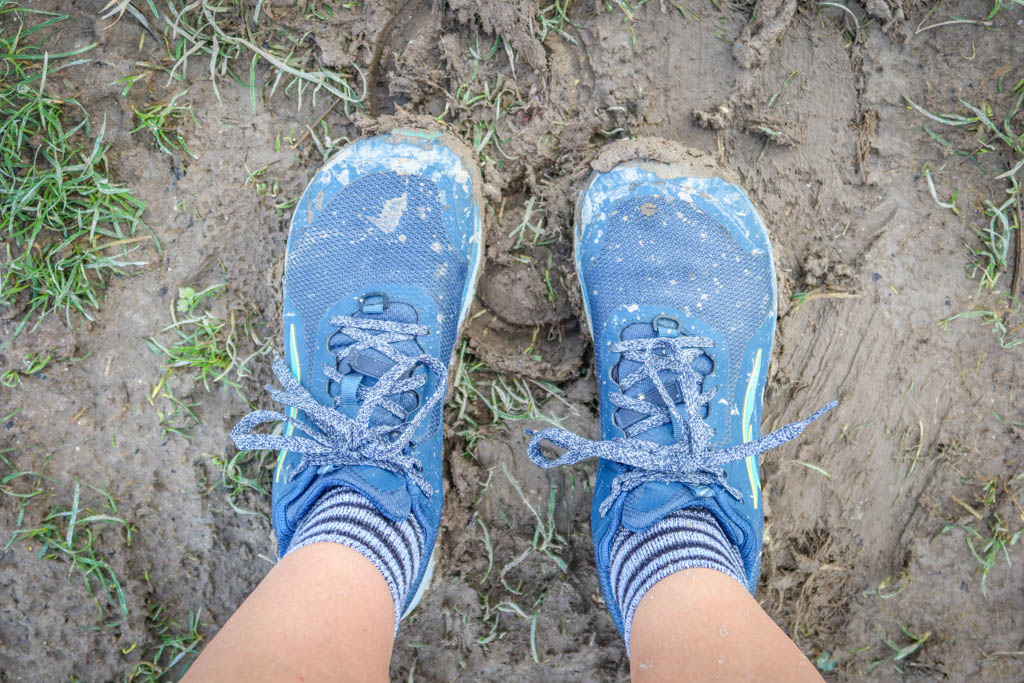
Watch out for muddy trail conditions!
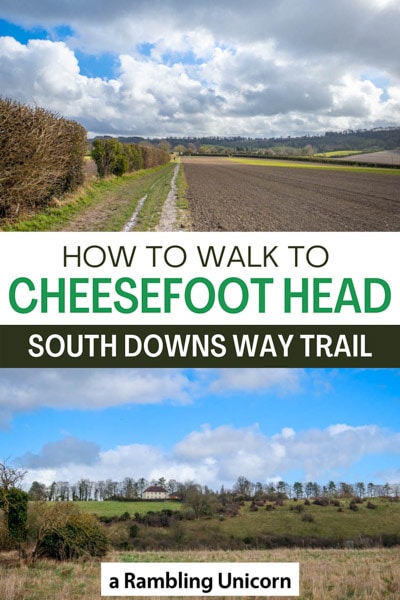
Like this article? Pin it!
Note: This post contains affiliate links, which means I may receive a commission if you click a link and purchase something. While clicking these links won’t cost you anything, they will help me to keep this site up and running!


0 Comments