
On our final day at Pictured Rocks National Lakeshore, I hoped to do some hiking. Rain was in the forecast and, after yesterday’s lazy rainy day, I wasn’t optimistic that it would clear up. Luckily, the weather held out long enough for to me to explore a segment of the North Country National Scenic Trail which runs through the park. After the hike, Daniel and I finally got to try one of the Upper Peninsula’s best known treats – a Michigan-style pasty!
Introduction to the North Country Scenic Trail
The North Country National Scenic Trail is a 4,600-mile footpath that stretches across 8 states from Vermont to North Dakota. As it turns out, the Superior Hiking Trail is part of the North Country Scenic Trail. This means that I’ve already hiked a section of the trail earlier this year during my visit to Duluth.
Like the Superior Hiking Trail, this segment of the North Country Trail follows the shoreline of Lake Superior – but in this case the trail is located in Michigan’s Upper Peninsula.
For today’s hike, I planned a point-to-point adventure starting at Sand Point and ending at Miner’s Castle. Since the North Country Trail doesn’t actually go all the way to Sand Point, I started out at the Marsh Trail until it connected to the main hiking path. Total hiking distance: 4.9 miles.
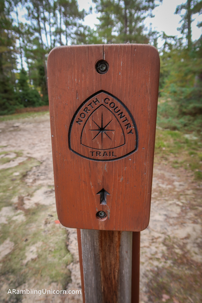
North Country Trail Marker
Sand Point Marsh Trail
I hopped out of the car at the Sand Point Marsh Trailhead and looked around. The trailhead is located right across the street from a gorgeous beach overlooking Lake Superior’s Grand Island.
My hike today began at the same location as the Sand Point Marsh Trail. The Marsh Trail is a wheelchair-accessible boardwalk that loops over several marshy areas. Both the beach and Marsh Trail were surprisingly lovely and worth a visit on their own right.
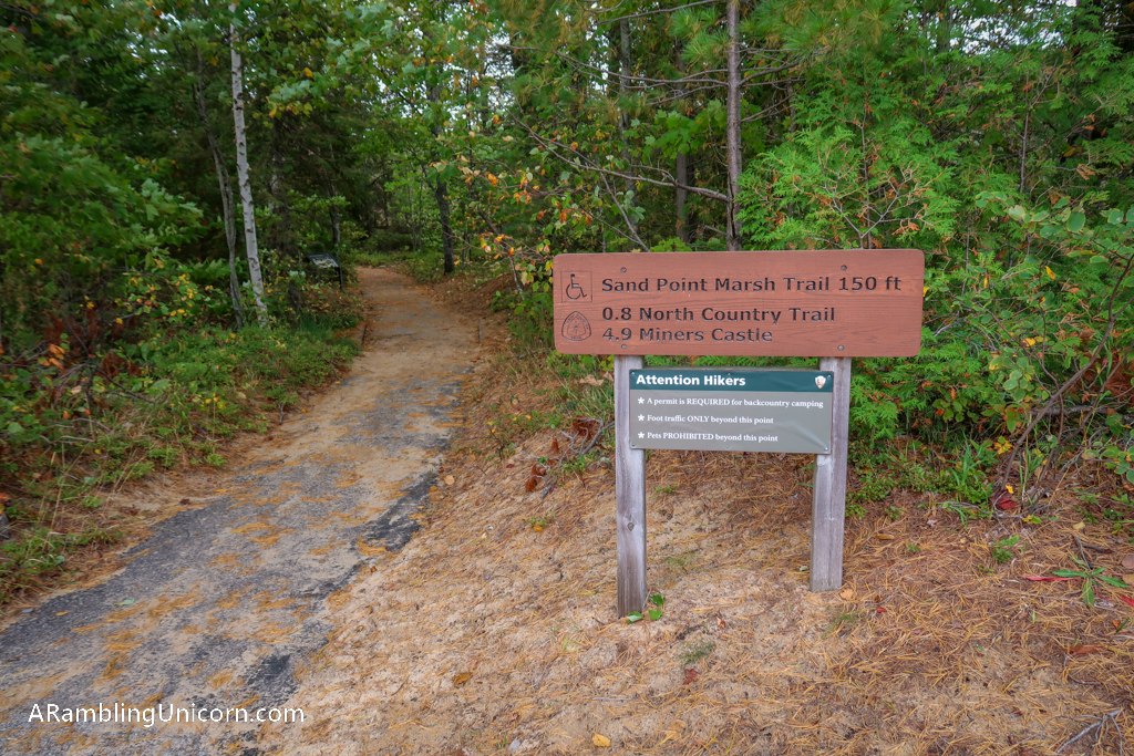
Trailhead for Sand Point Marsh Trail
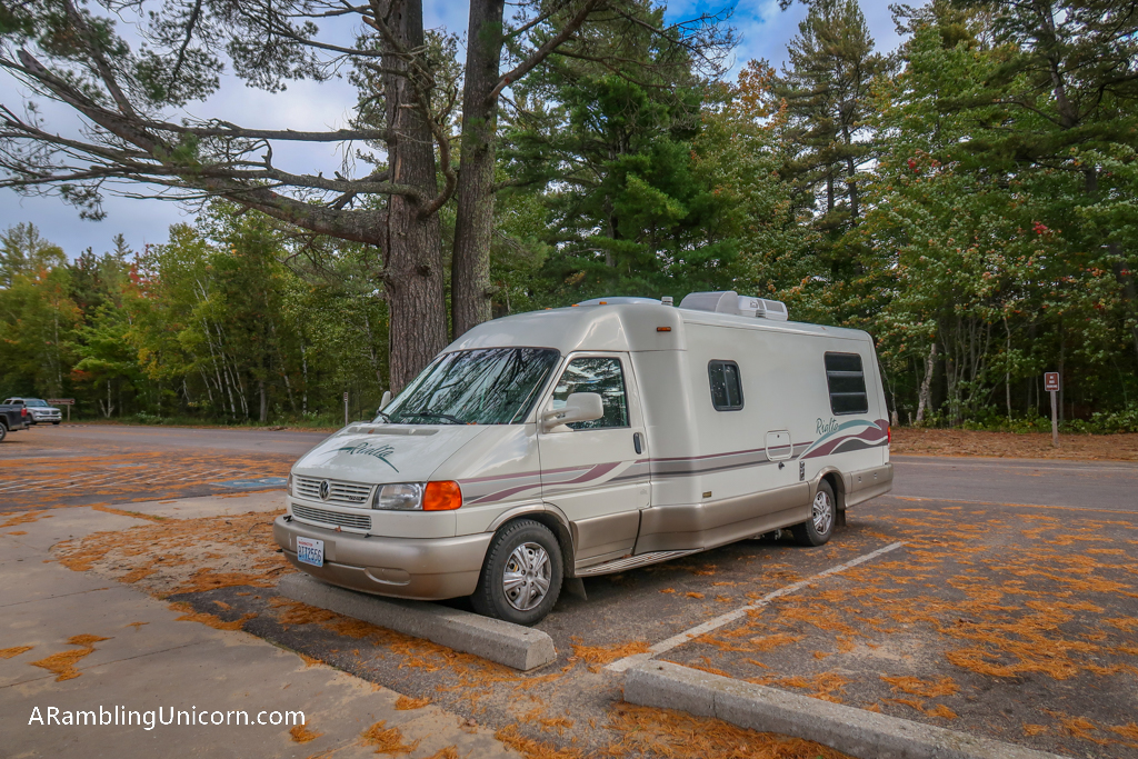
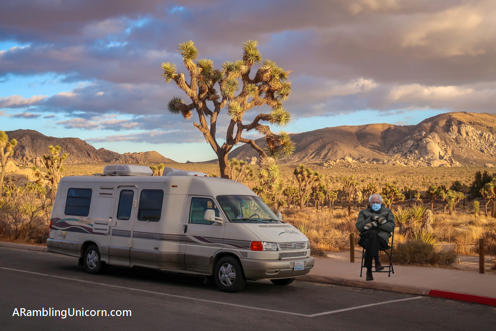
Appa parked at the trailhead
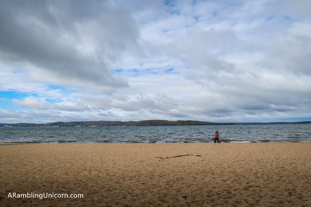
Lovely beach access at the trailhead
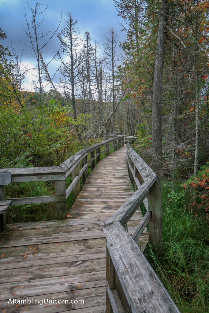
Marsh Trail boardwalk
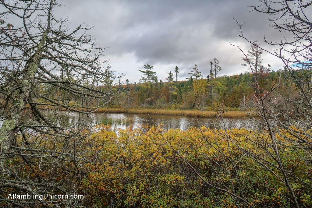
The marsh
Sand Point Connector Trail
After exploring the Marsh Trail for a bit, I returned to the connector trail. This section is a .8 mile segment that connects Sand Point to the North Country trail. The trail features some views of Lake Superior before passing by an interesting section of sandstone cliffs. This area features a little waterfall which is particularly lovely.
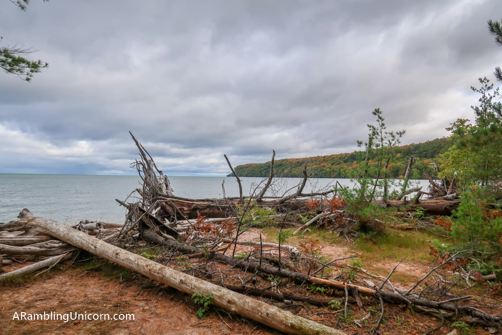
Lake Superior Shoreline at Sand Point
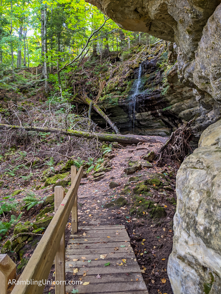
Sandstone cliffs and waterfall

Walkway around the sandstone cliffs
A Muddy Walk in the Woods
After joining with the North Country Trail, the trail heads northeast along the cliffs above the lake. At first the trail primarily stays inland. It was a lovely walk in the woods, albeit a muddy one. Last’s night rain had turned the trail into a soupy mess at places. I’m glad I didn’t attempt the hike on a rainy day.
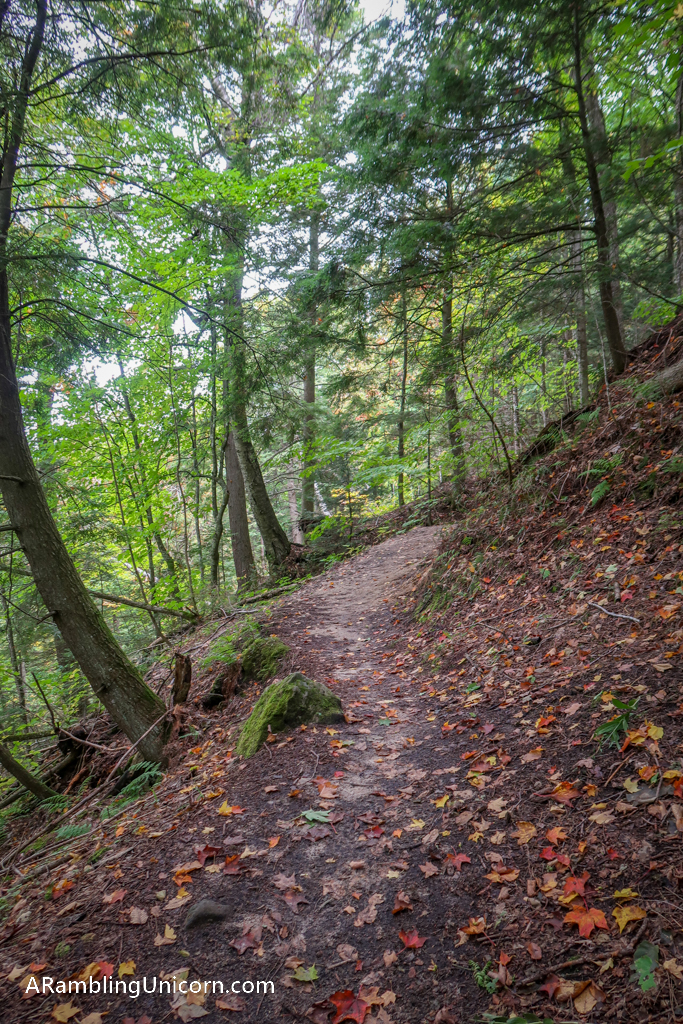
A lovely walk in the woods
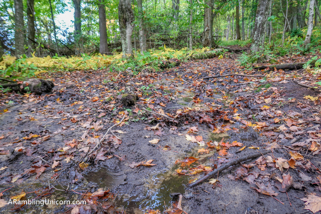
That’s a muddy trail!
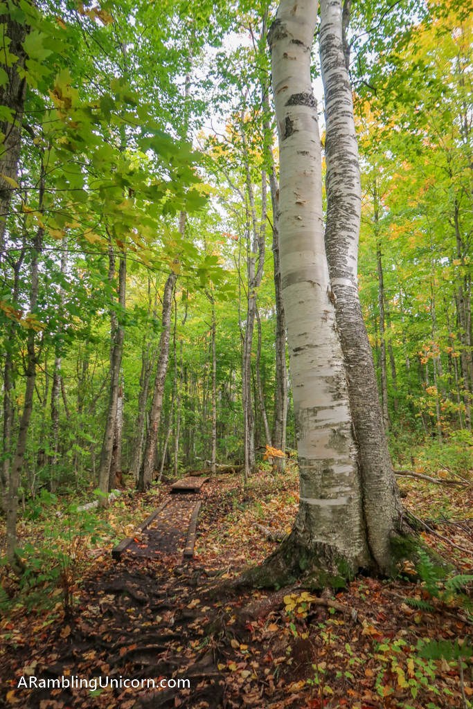
The trail features wooden pathways over the muddiest spots. Also -birch trees!
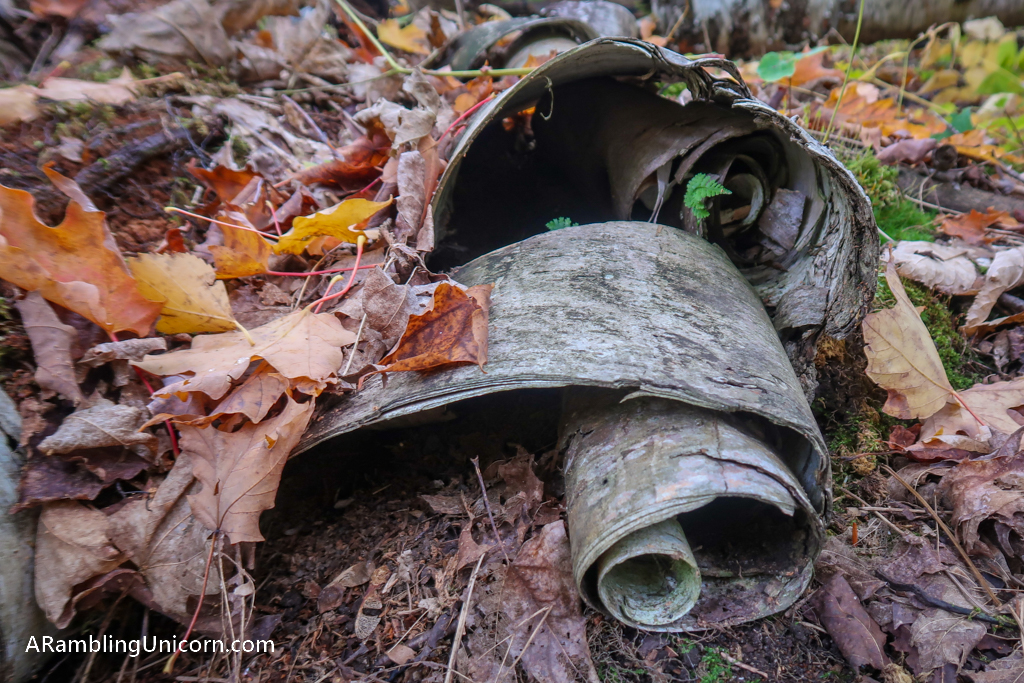
Birch bark curls

I hiked right over this awesome waterfall but didn’t get to see it from below. I could hear it though, it sounded like a big one!
Peek-a-Boo Lake Views
After hiking for a couple of miles, I started to get the occasional view of the lake. What a gorgeous view! I also passed by Cliffs Campground, a backcountry campground designed for long-distance hikers on the North Country Trail.
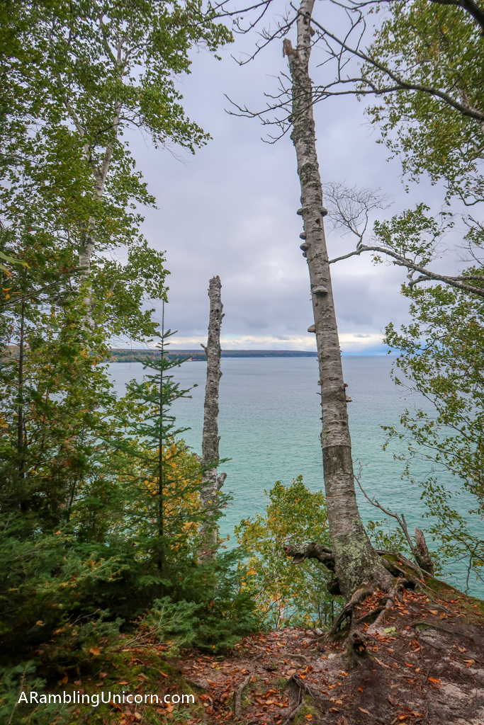
Peek-a-boo view of Lake Superior
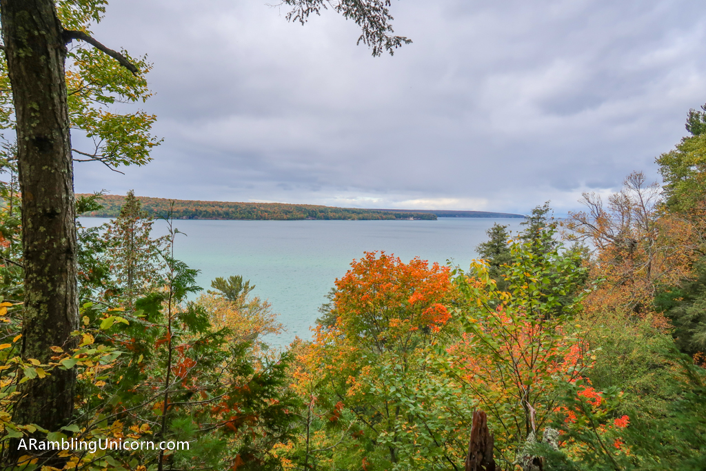
Some lovely fall foliage at this Lake Superior viewpoint
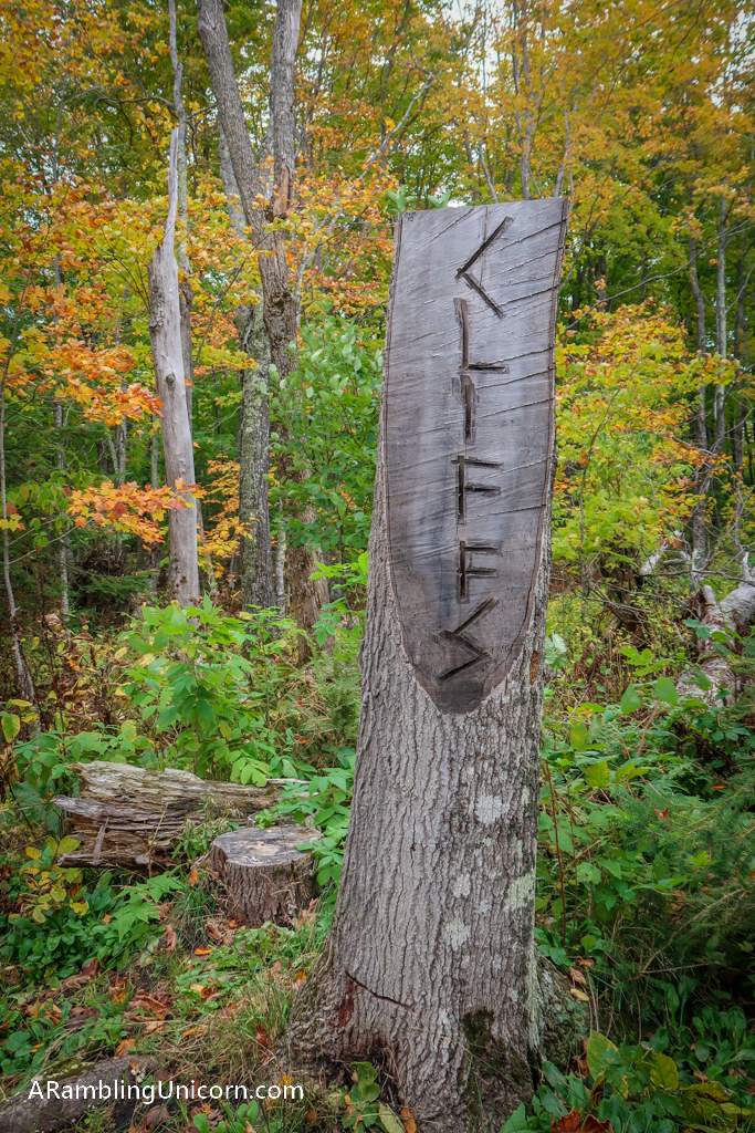
Cliffs Campground

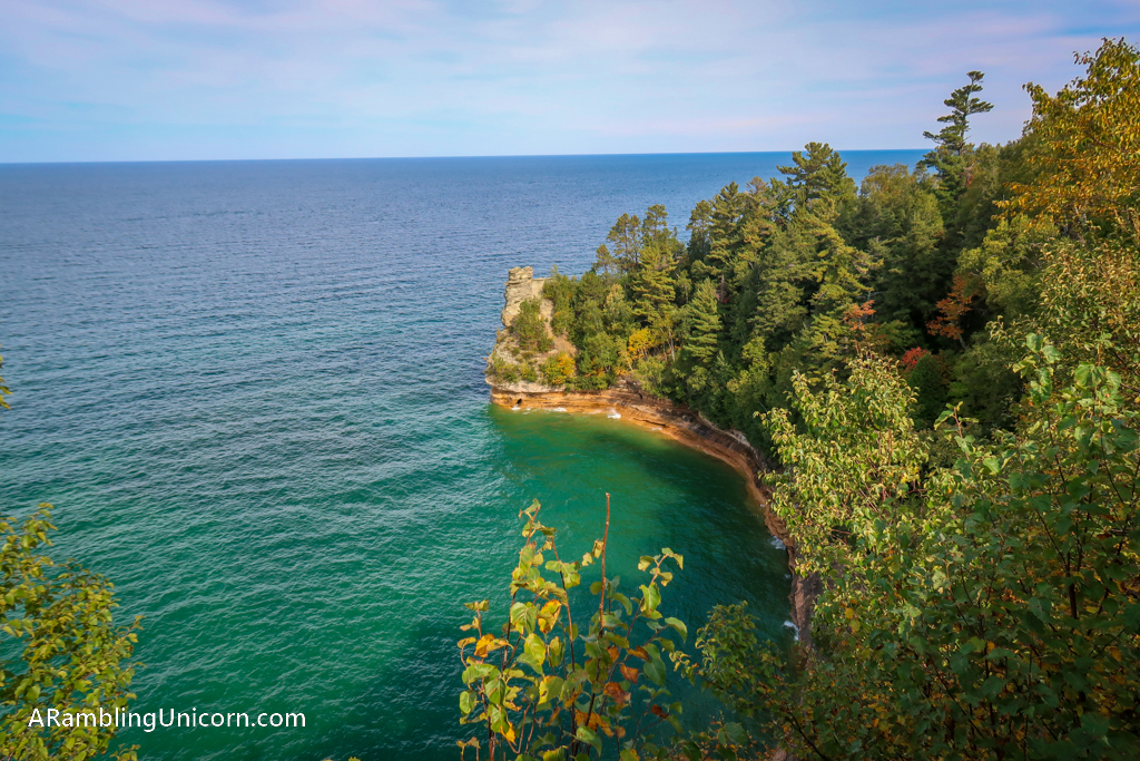
A lovely view of the sandstone cliffs near Miners Castle from above. These are supposed to be really spectacular when viewed from a boat.
Miners Castle
I ended my trail at Miners Castle, the most popular attraction at Pictured Rocks National Lakeshore. I noticed a change in the landscape as I approached the trailhead. The trees are bigger and older here with a carpet of greenery along the forest floor. A hush fell over the woods as I ventured along the path. It felt like I had entered some sort of fairyland.
The spell was broken as emerged into the Miners Rock area. Tourists flocked to the overlook to get a good view of Miners Castle. I skipped the view as I already got to see it during our visit earlier in the week. You can read about it here: Falling for Fall Foliage at Pictured Rocks National Lakeshore.
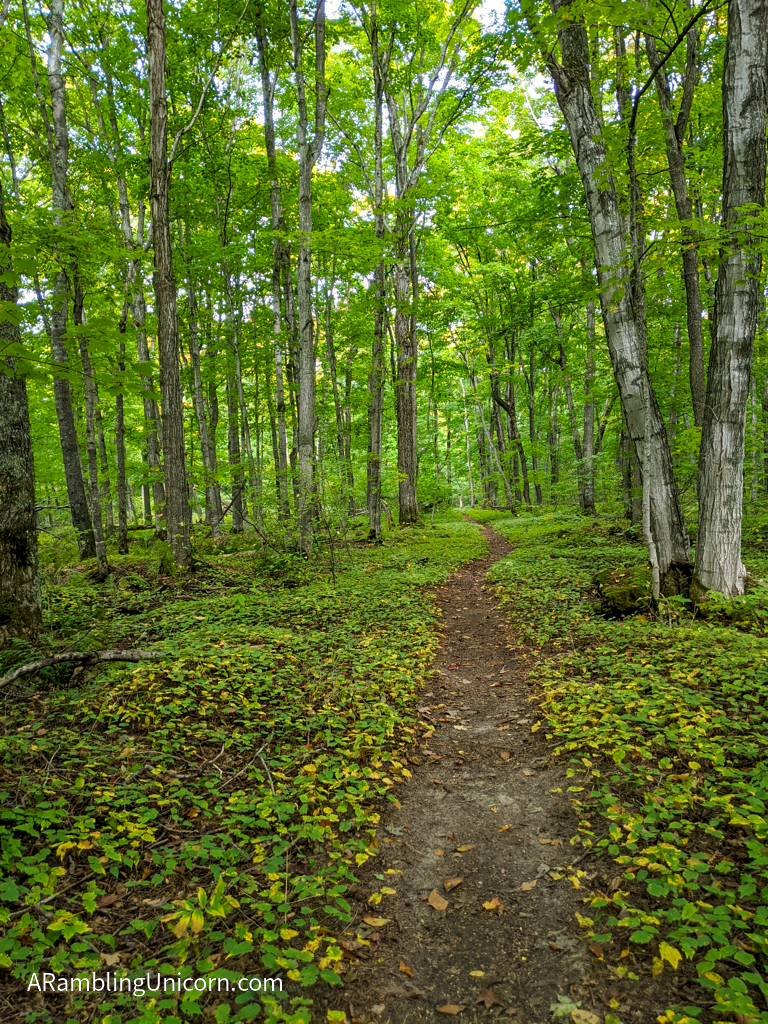
The forest is really pretty approaching the Miners Castle Trailhead

Hike complete! Photo taken at the Miners Castle Trailhead.
Miners Castle as viewed from the Upper overlook
Michigan Pasty
After completing my hike, I had worked up quite an appetite. So Daniel and I headed to Munising for lunch. We kept seeing signs all across the Upper Peninsula for pasties so we had to check out this local delicacy.
A pasty (pronounced “Pass-Tee”) is a meat-filled pie that is typically eaten by hand. We bought our pasties from Miners Pasties and sat outside to eat them. I wasn’t expecting much to be honest. Well I am happy to report that I was pleasantly surprised. This pie was a lot bigger than I expected and absolutely delicious! The pastry crust was flaky and melted in my mouth.
Eating a pasty was way off diet for us but I’m glad we did it anyway. Two thumbs up!

The “Yooper” pasty filled with meat and veggies. Yum!

Getting our pasty on at Miners Pasties
Where am I now?

I am hiking the North Country Trail in Pictured Rocks National Lakeshore!
Date: September 29, 2020
Great American Road Trip Status: Day 86
Location: Munising / Pictured Rocks KOA
Miles Traveled: 33.9
Total Trip Mileage: 5485.1
For more details on our Great America (Socially Distanced) Road Trip, see my previous posts:
- Day 85: A Rainy Autumn Day in the U. P.
- Day 84: Falling for Fall Foliage at Pictured Rocks National Lakeshore
- Day 83: Crossing the Mackinac Bridge: Gateway to the Upper Peninsula
- Day 82: There’s No Breakfast Like Trail Breakfast
- Day 81: A Lazy Beach Day at Warren Dunes State Park
- Our Vagabonding Anniversary: A One-Year Retrospective


0 Comments