Ancient Lakes
11.36 miles
680 feet elevation gain
After last Sunday’s snowy adventure on Mt. Teneriffe, I was ready for a change of scenery this weekend. I recruited a couple of friends from work and we headed over the Cascade Mountains to check out Ancient Lakes in sunny, arid Eastern Washington.
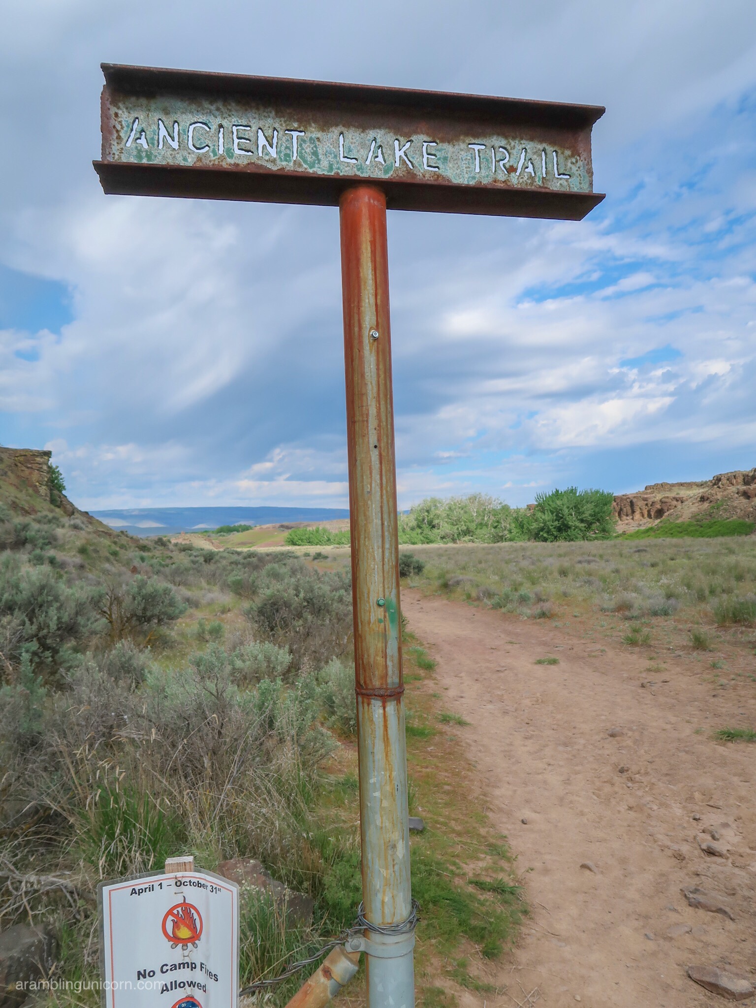
Let’s Get this Party Started!
We arrived at the trailhead at 9:30 am, ready to stretch our legs after the 2.5-hour drive from Seattle. We planned to take the route described in this Washington Trails Association post and were initially a bit confused due to the fact that there are two trailheads (one called “Ancient Lakes†and one called “Ancient Lakes & Dusty Lakesâ€) as well as multiple trails in the area. However, after poring over several maps, we eventually plotted our course and headed west towards the Columbia River.
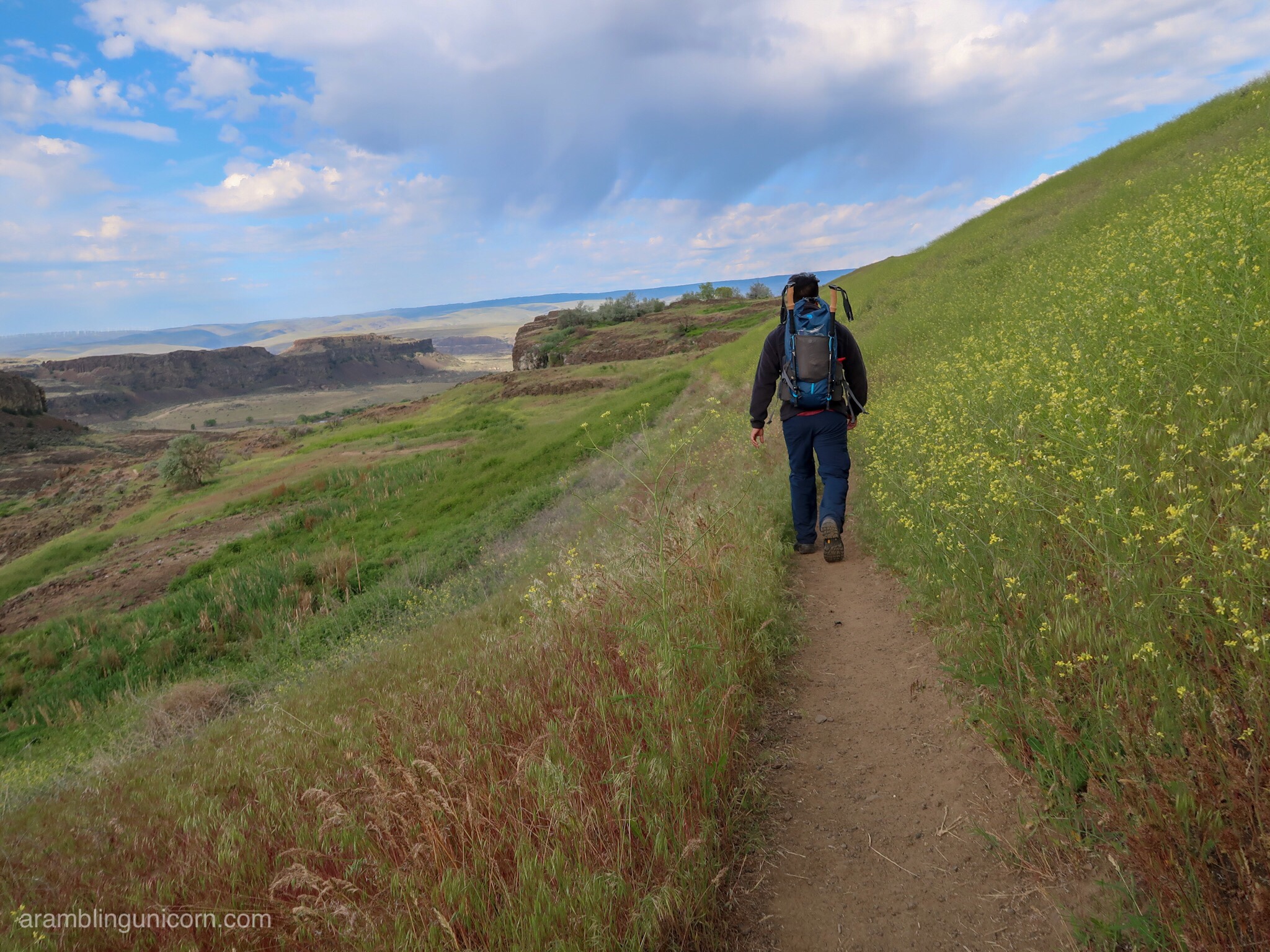
Spring flowers
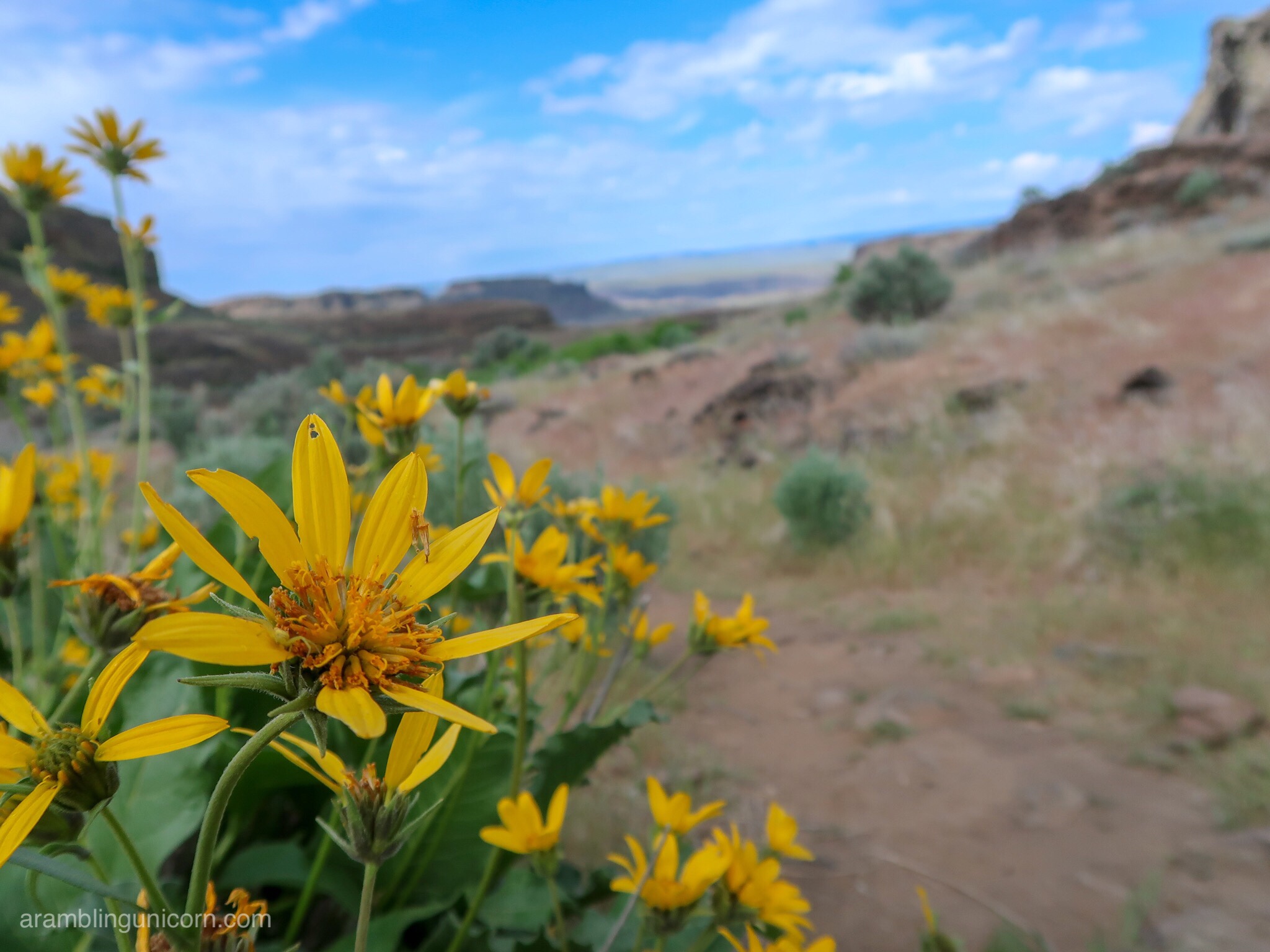
More flowers
The trail began by following an old dusty Jeep track as it wound through big sagebrush and bluebunch wheatgrass. Blue skies stretched overhead and we could see walls of the cataract canyon towering in the distance. The area is famous for its striking geological formations, which result from eroded lava flows by glacial floodwaters.
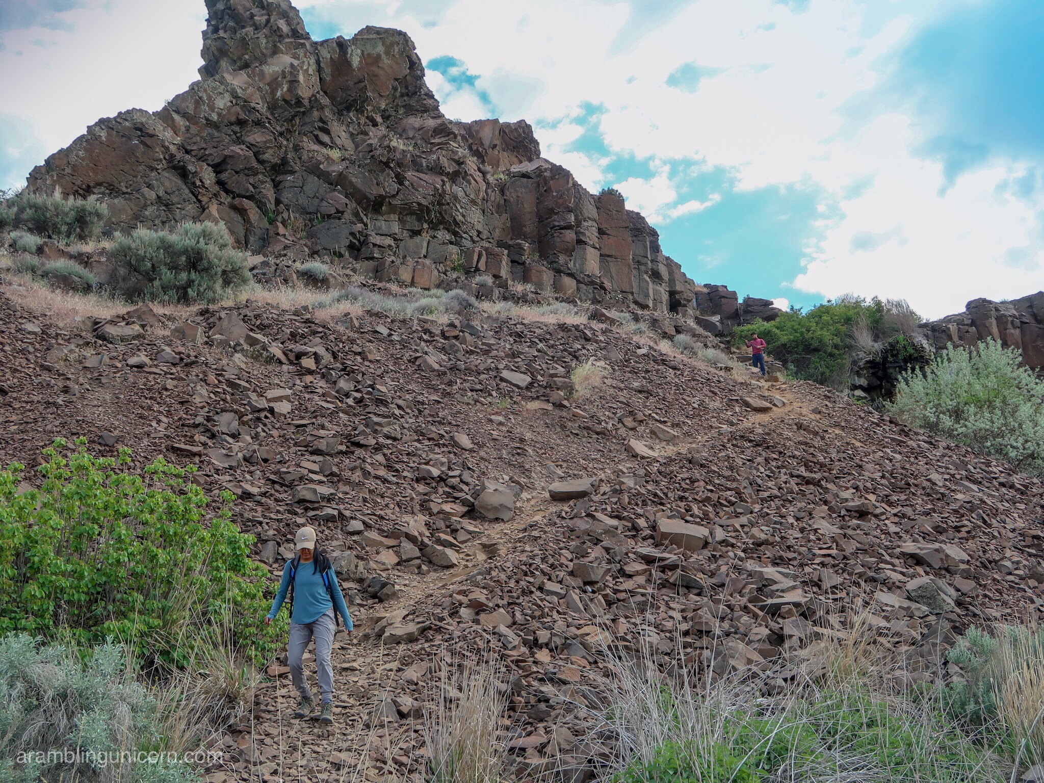
Climbing down from the ridgeÂ
After about a mile or so, we passed a tiny lake called Judith Pool. There are several charming lakes in the area, known as potholes, which are a popular draw for overnight campers. Tents dotted the area near the potholes and we passed several groups of backpackers who were returning to their cars after a weekend outdoors.
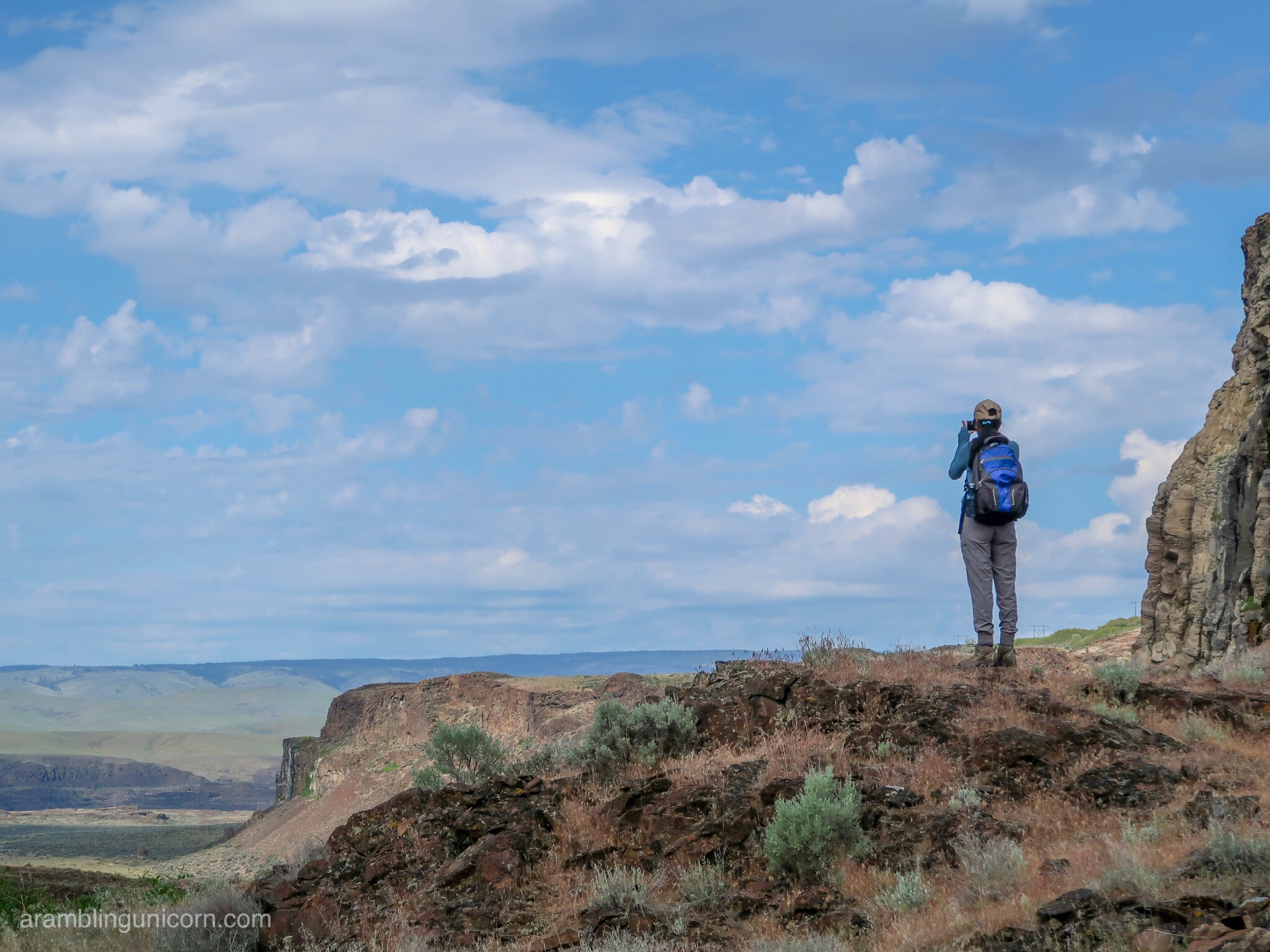
Shristhy regards the horizonÂ
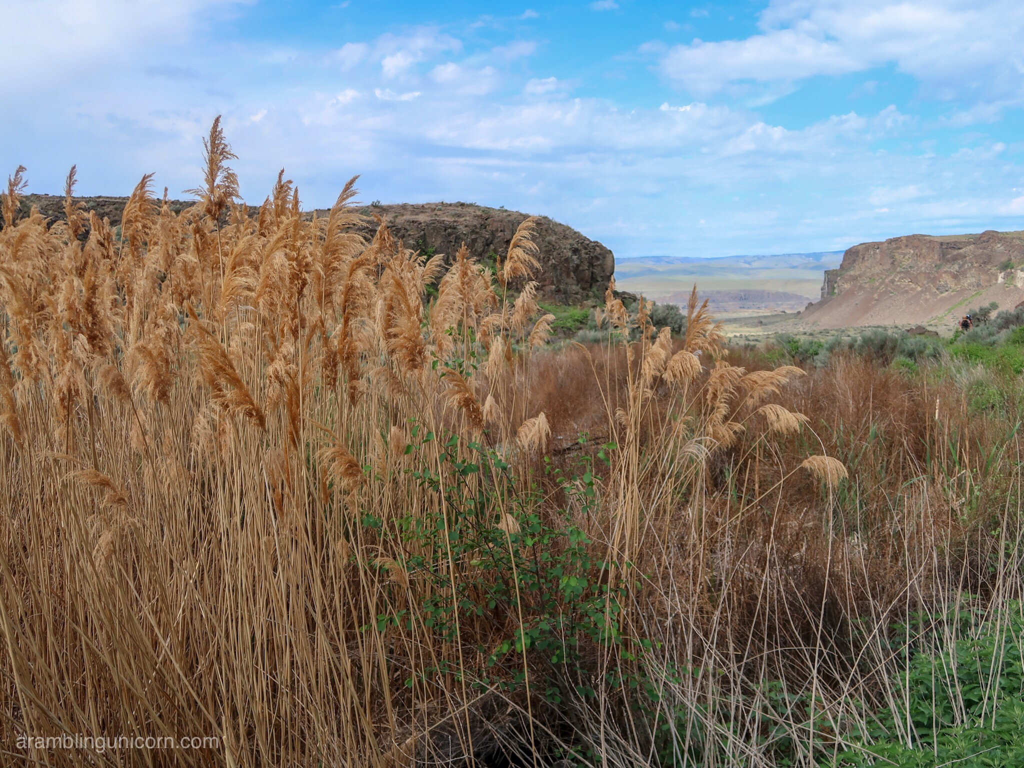
Tall grassesÂ
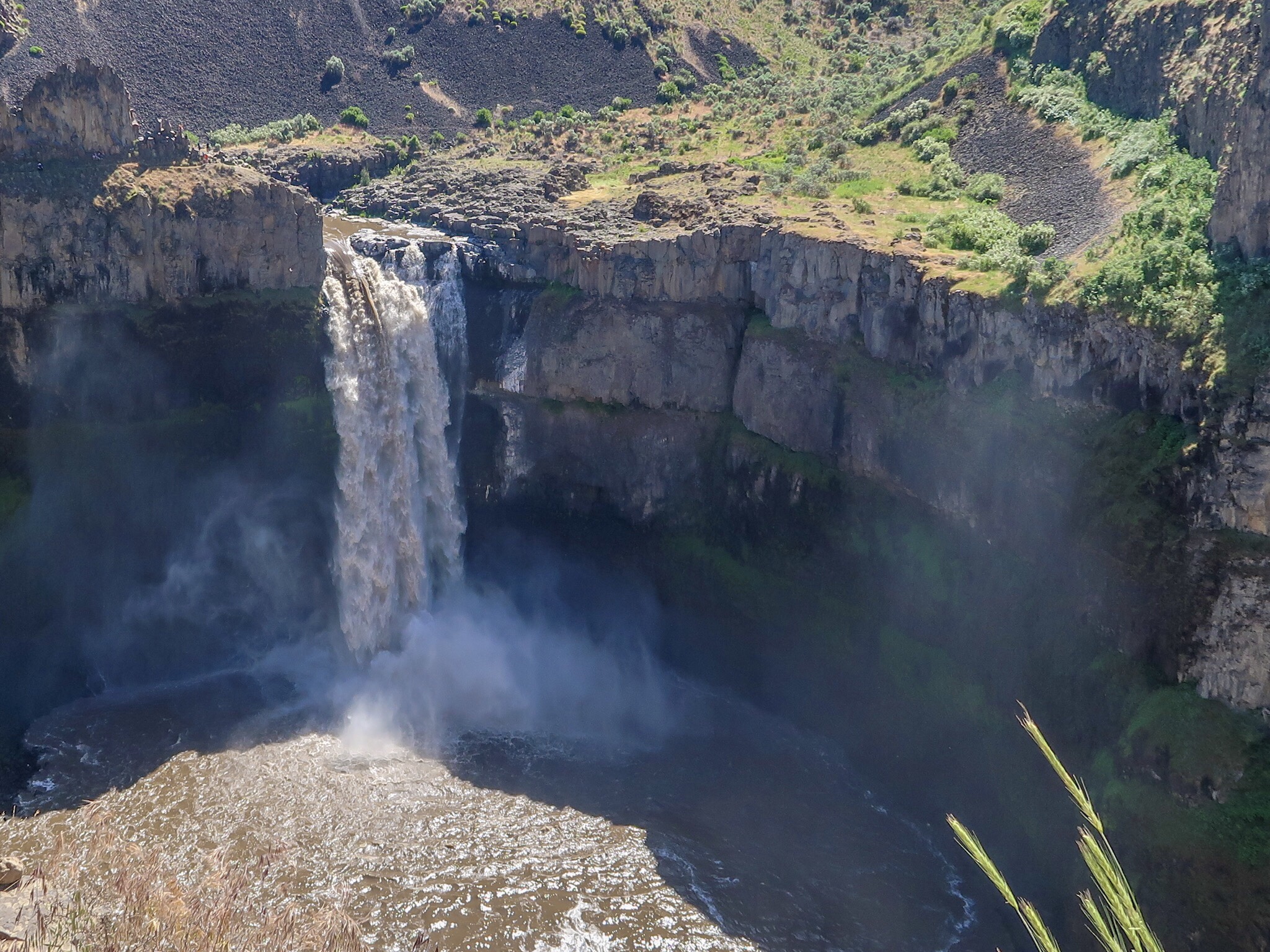
We clambered down a ridge and I was surprised to see a waterfall cascading over the edge due to runoff from Judith Pool. I didn’t expect to find lakes and waterfalls in such a dry area.
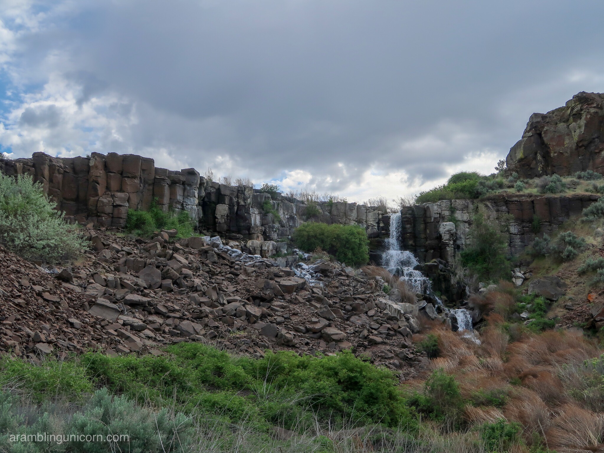
Waterfall from Judith Pool into Ancient Lakes
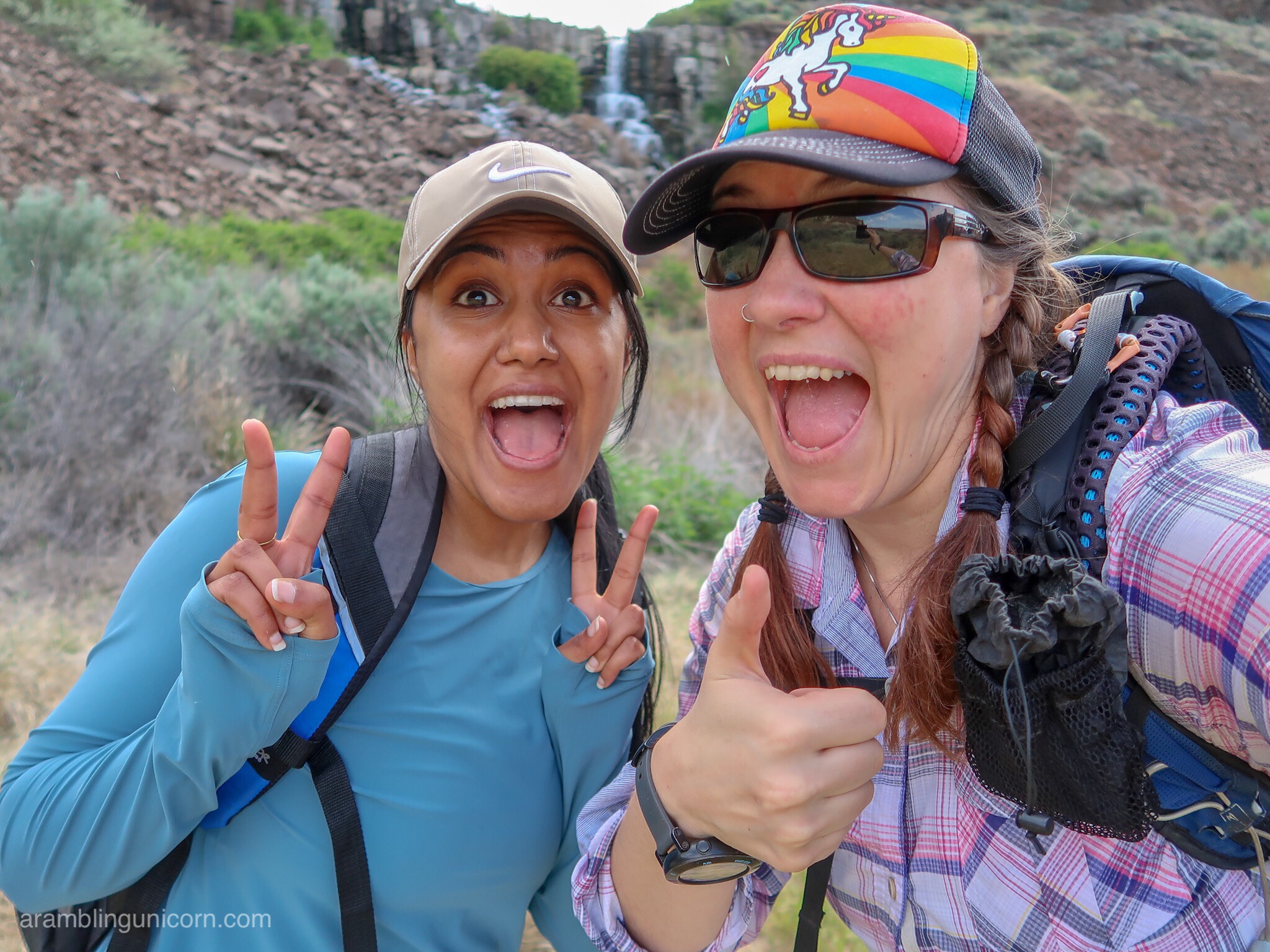
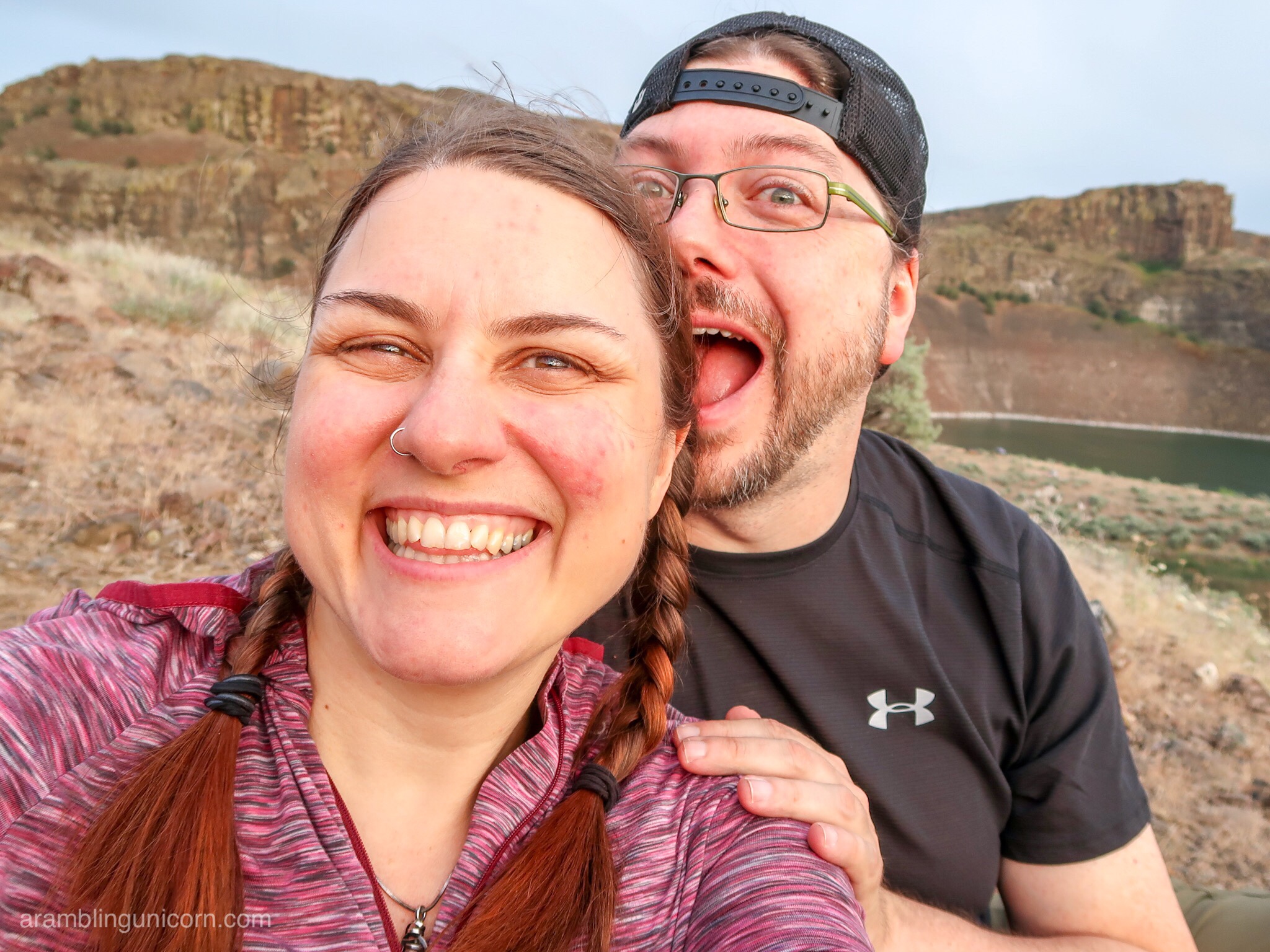
Selfie Time!
As we continued our descent along the walls of the cataract canyon towards the Ancient Lakes, the trail essentially disappeared and we were left to scramble down a fairly steep incline as best we could. Loose rocks and scree slid beneath my feet as I carefully made my way with the help of my hiking poles. We picked our way over boulders dotting the edge of the the nearest Ancient Lake and rejoined the trail on the other side.
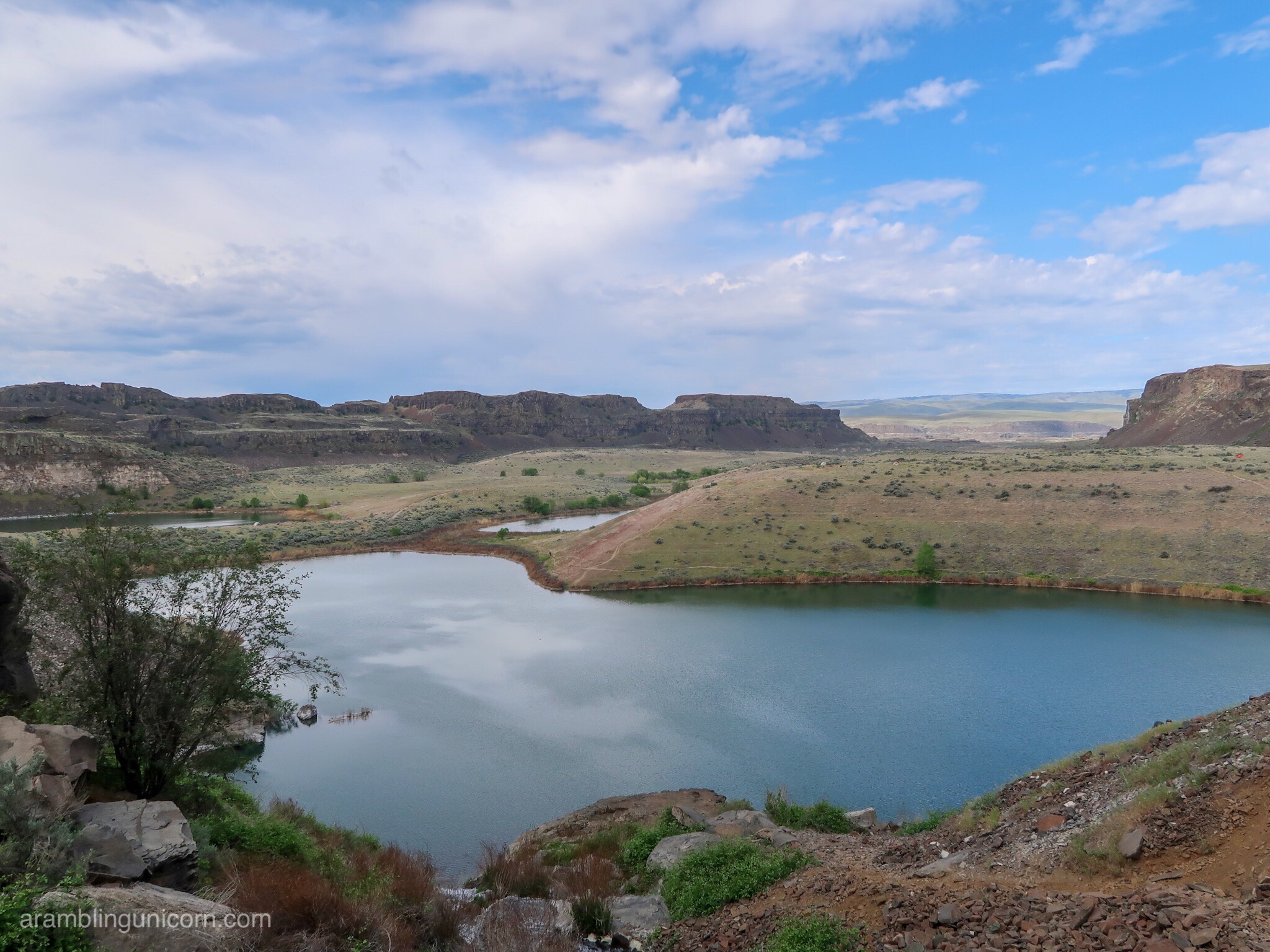
Ancient Lakes
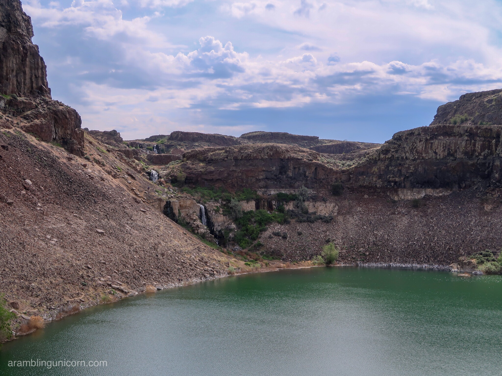
Ancient Lakes with the waterfall in the background
From there, the trail leveled off and followed along old Jeep tracks toward the Ancient Lakes/Dusty Lakes Trailhead. Hawks and other birds that I couldn’t identify circled overhead as we walked. The day started to heat up and I decided it was time to apply more sunscreen.
We eventually reached Babcock Bench, a ridge parallel to the Columbia River, and headed south. We were on the lookout for an access trail heading west and accidentally walked right past it. After circling back, we found the trail hiding between some bushes. The trail is not as commonly used as the Ancient Lakes and Dusty Lakes trails, although I’m not sure why as it goes directly to the edge of the Columbia River.
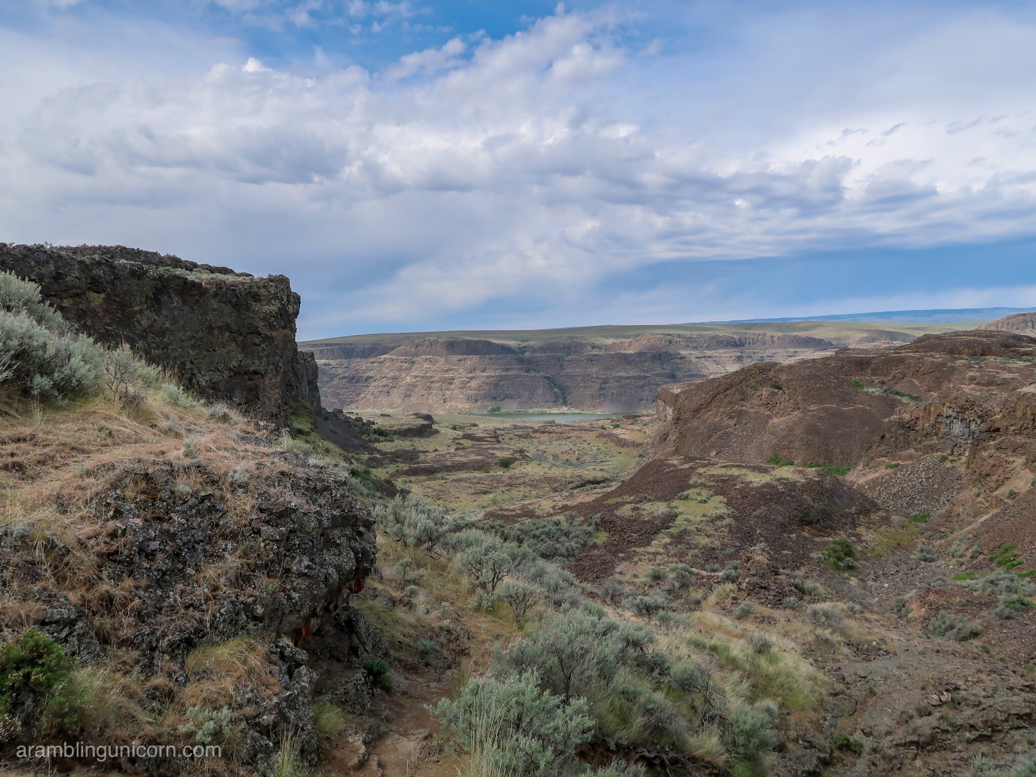
First glimpse of the Columbia River
We took a pleasant break by the edge of the River, eating lunch and watching the water. I took my socks off to dry as we rested, a habit from my through-hiking days. Sand poured from my shoes and I smiled, remembering the many miles I hiked in the desert along the Pacific Crest Trail exactly one year ago.
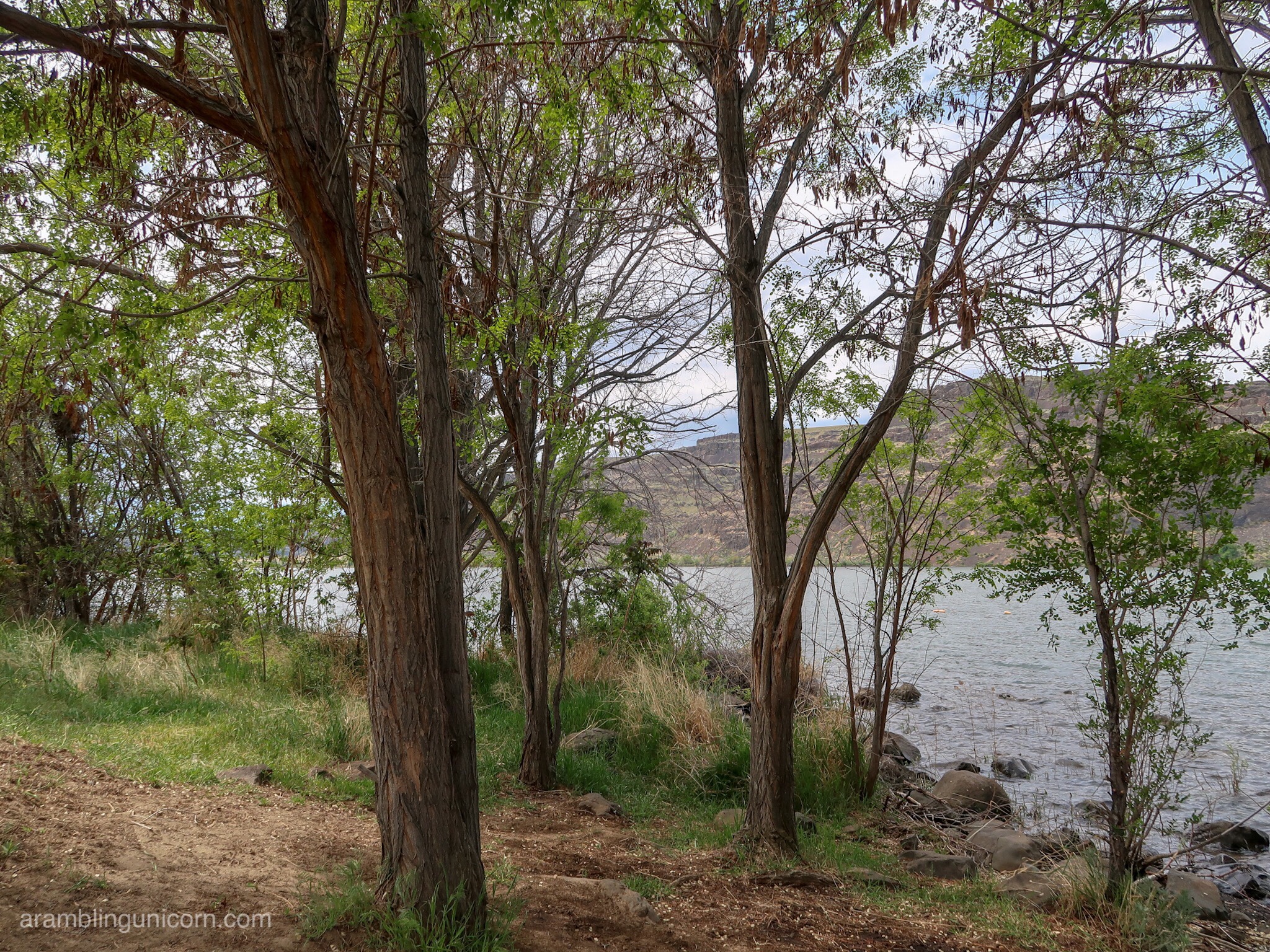
Lunch break on the shores of the Columbia River
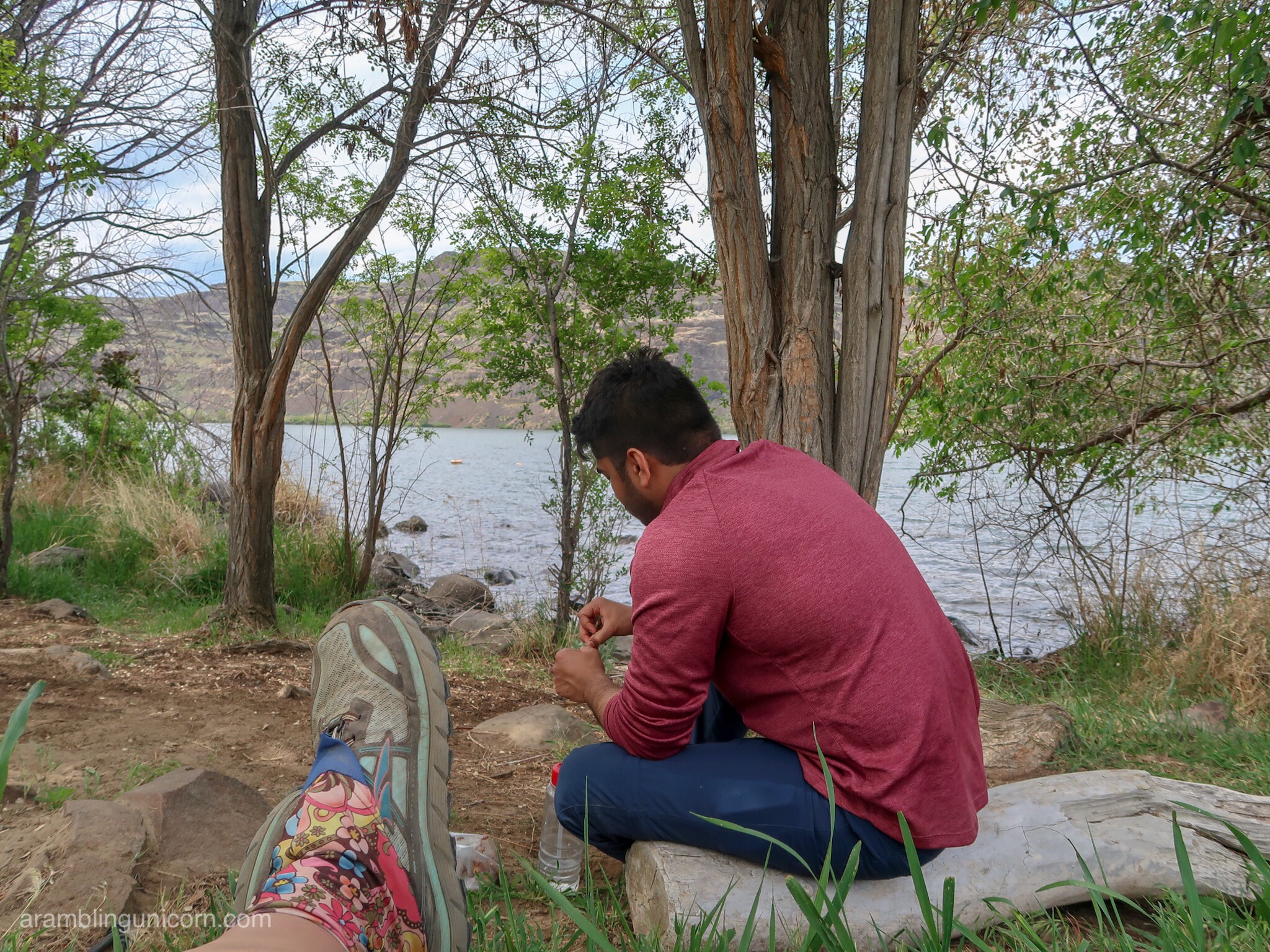
Ash eats a snackÂ
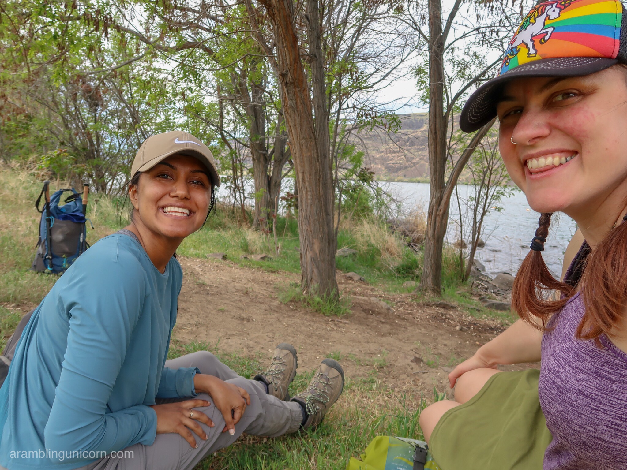
Lunchtime!
After lunch, we retraced our steps back up the canyon towards Babcock Bench. We elected to take a different route to the car that didn’t involve scrambling straight up a cataract wall. We eventually found the desired trail after hunting around in the bushes and I was thankful, once again, that I had taken the time to download local maps to my phone so we could navigate via GPS.
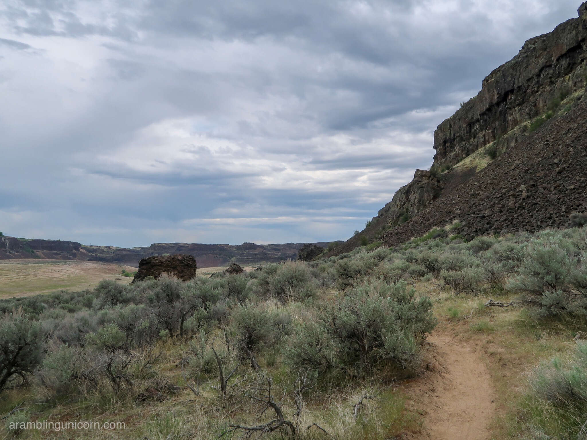
Approaching the mesa separating Ancient Lakes and Dusty Lakes
The trail traced the edge of the cataract wall for a while and eventually climbed to the top of a mesa with breathtaking views of Dusty Lakes to the south and Ancient Lakes to the north.
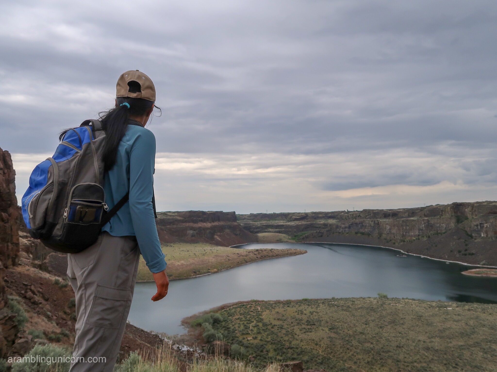
Shristhy regards Dusty Lakes
As we walked, we kept seeing brown furry little shapes darting between the basalt rocks. They looked a lot like marmots but I assumed that marmots only lived in mountainous alpine areas. I found out afterwards that the creatures were indeed Yellow-bellied Marmots. They were too fast to photograph though.
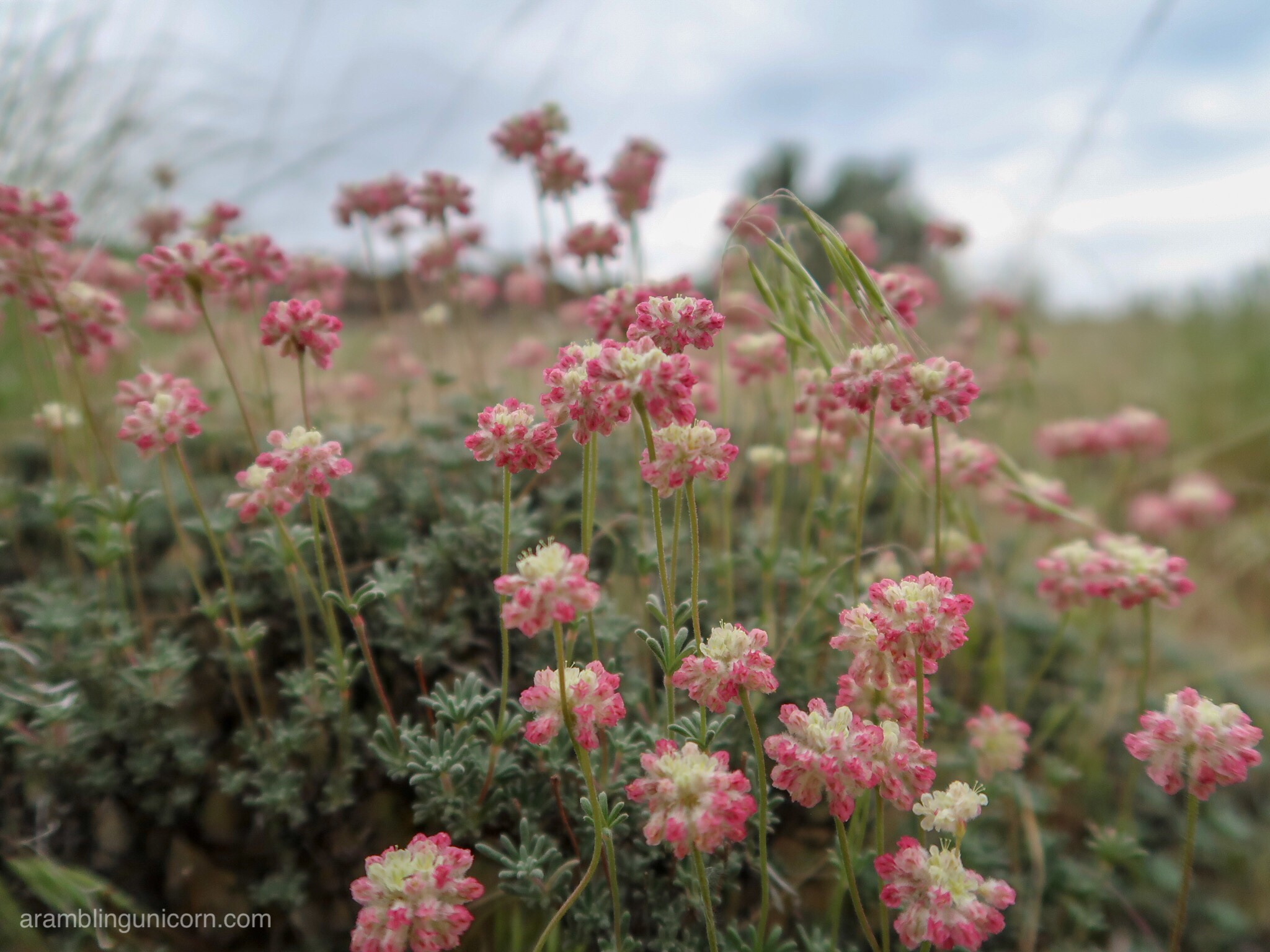
I couldn’t photograph any marmots so here are some cool flowers insteadÂ
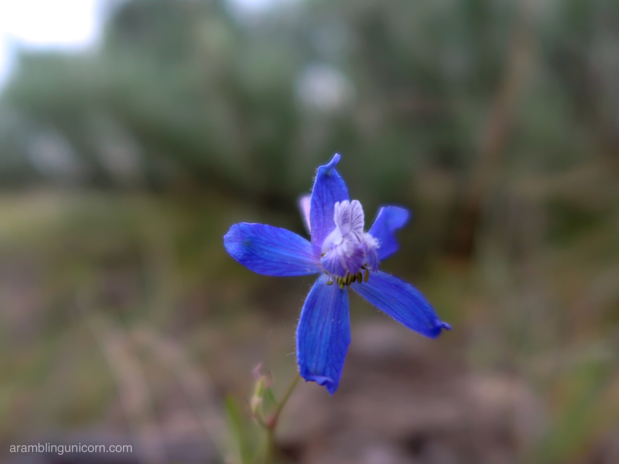
Here’s another cool flower
After climbing another canyon wall, the trail rejoined a gravel road and we road walked the last mile back to the car. The trail passed directly by Quincy Lakes, which were popular with fisherman and larger than the other potholes we saw earlier in the day. Here we saw cattails, frogs, and even a crane flying overhead.
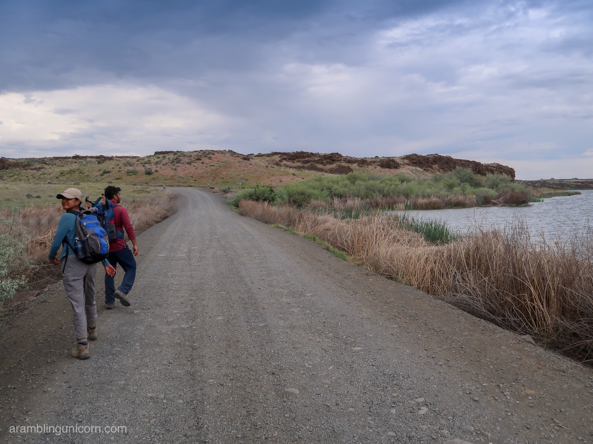
Road Walking by Stan Coffin Lake
I was reluctant to leave when we reached the car. It was such an amazingly beautiful day. Unlike other hikes that left me exhausted at the end of the day, the relatively easy elevation profile meant that that I wasn’t totally wiped out. I was glad of that later, though, when we hit traffic going over that pass which added an extra hour to our trip home.
I’m looking forward to exploring this area again, and next time maybe making it an overnight trip.
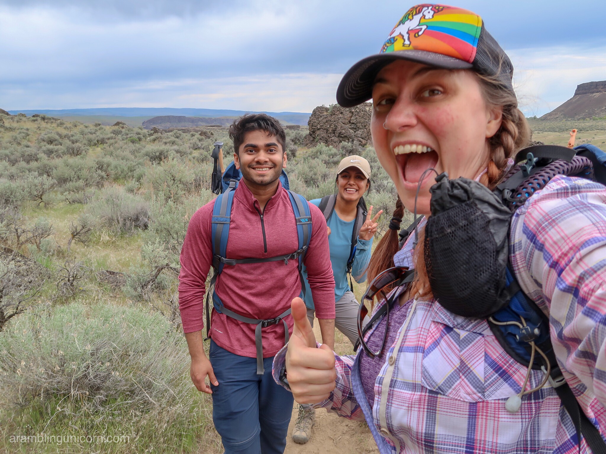
Hiking is more fun with friends 🙂


0 Comments