Day 18 – Monday May 1
Idyllwild to Mile 182.7
PCT Mountain Fire Alternate Route Miles hiked today : 9.5
PCT Miles Hiked Today: 4.7
Feet Ascended Today: 4407
Feet Descended Today: 1414.5
Current Elevation: 8382
Steps: 38871
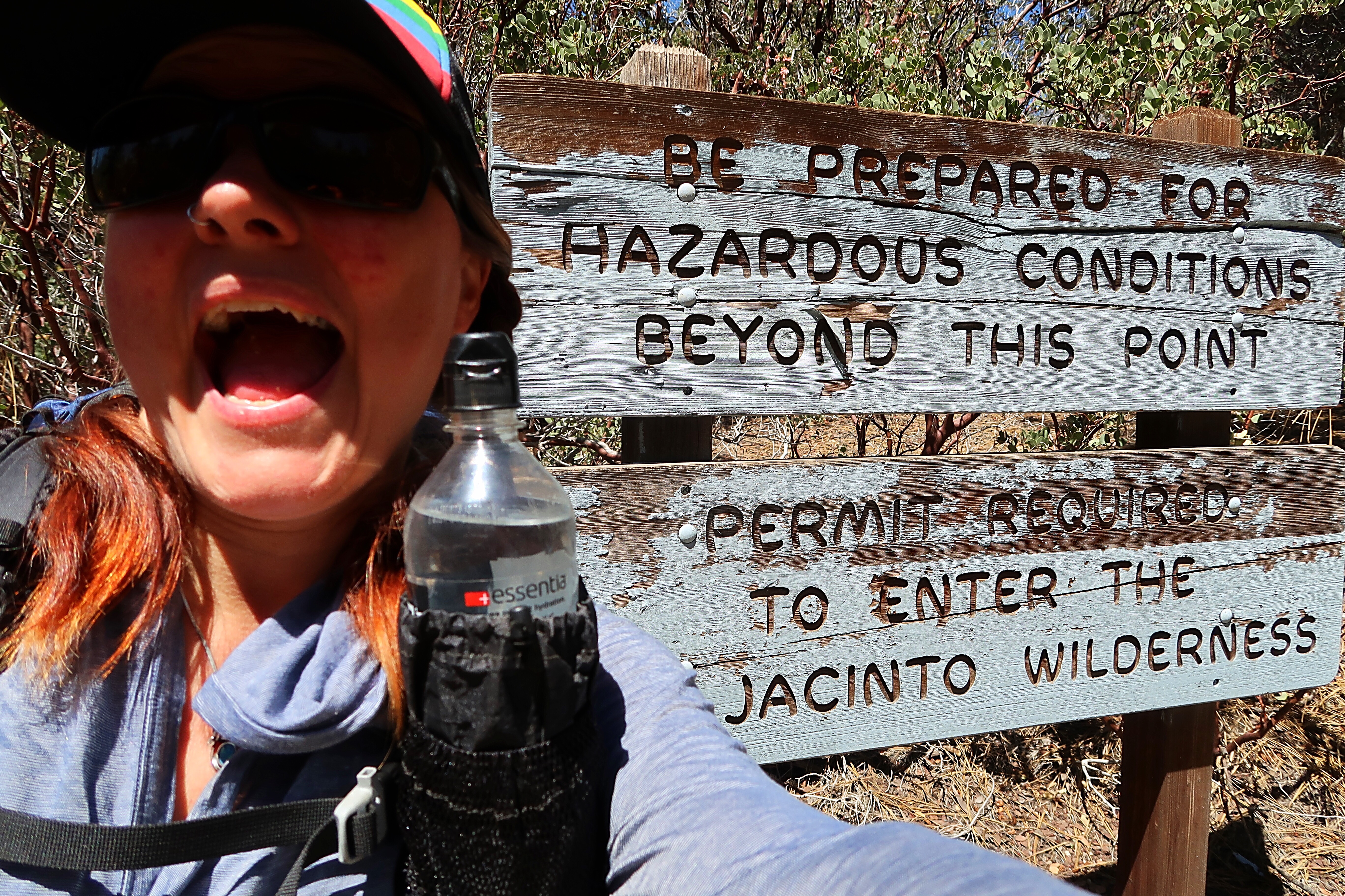
I woke up bright and early this morning, excited to hit the trail today. I had a big day ahead of me! The climb out of Idyllwild into the San Jacinto wilderness was going to be a tough one.
I hiked today with Halfway and Sunkist. There are several trails up to the PCT from Idyllwild, and we decided to take the Southridge trail because it would get us closest to where the fire closure ends. It is also the hardest trail – both in terms of elevation gain and technical difficulty due to lingering snow on the trail. We also wanted to maintain a continuous footpath from Mexico to Canada, so the goal was to start hiking at the exact spot where we turned off the road to walk into town. This was about 1-2 miles out of town. We ended up walking for part of the way but did get a ride for about half of a mile from a friendly local.
It was a long uphill slog today. We climbed over 4000 feet in elevation!! The first few miles (after the road walk from Idyllwild) were on an old forest service road up to the Southridge Trailhead. This was one steep road! It was not graded for hiking and did not have switchbacks. It was in the direct sun and a hot walk.
Once we got to the trailhead the hike improved considerably. The trail was less steep and had lots of switchbacks. It was also more shaded and scenic than walking on forest service roads. It was still quite steep though and I had to take frequent breaks to catch my breath, especially as we rose in elevation. The Southridge trail is very similar to the Mt. Si hike near Seattle – with almost the exact same length and elevation gain. The primary difference, of course, is that this trail starts and ends at a higher elevation.
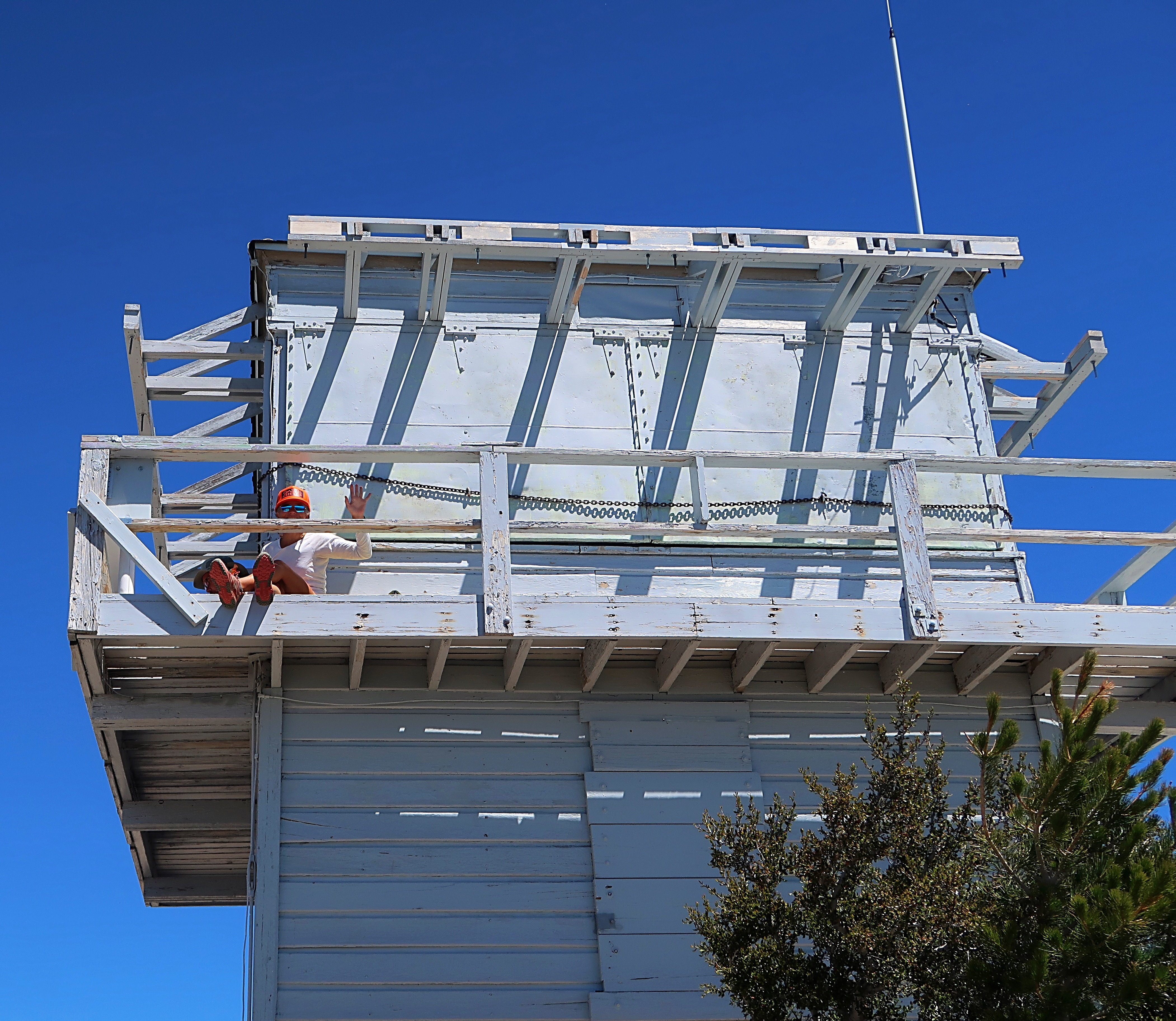
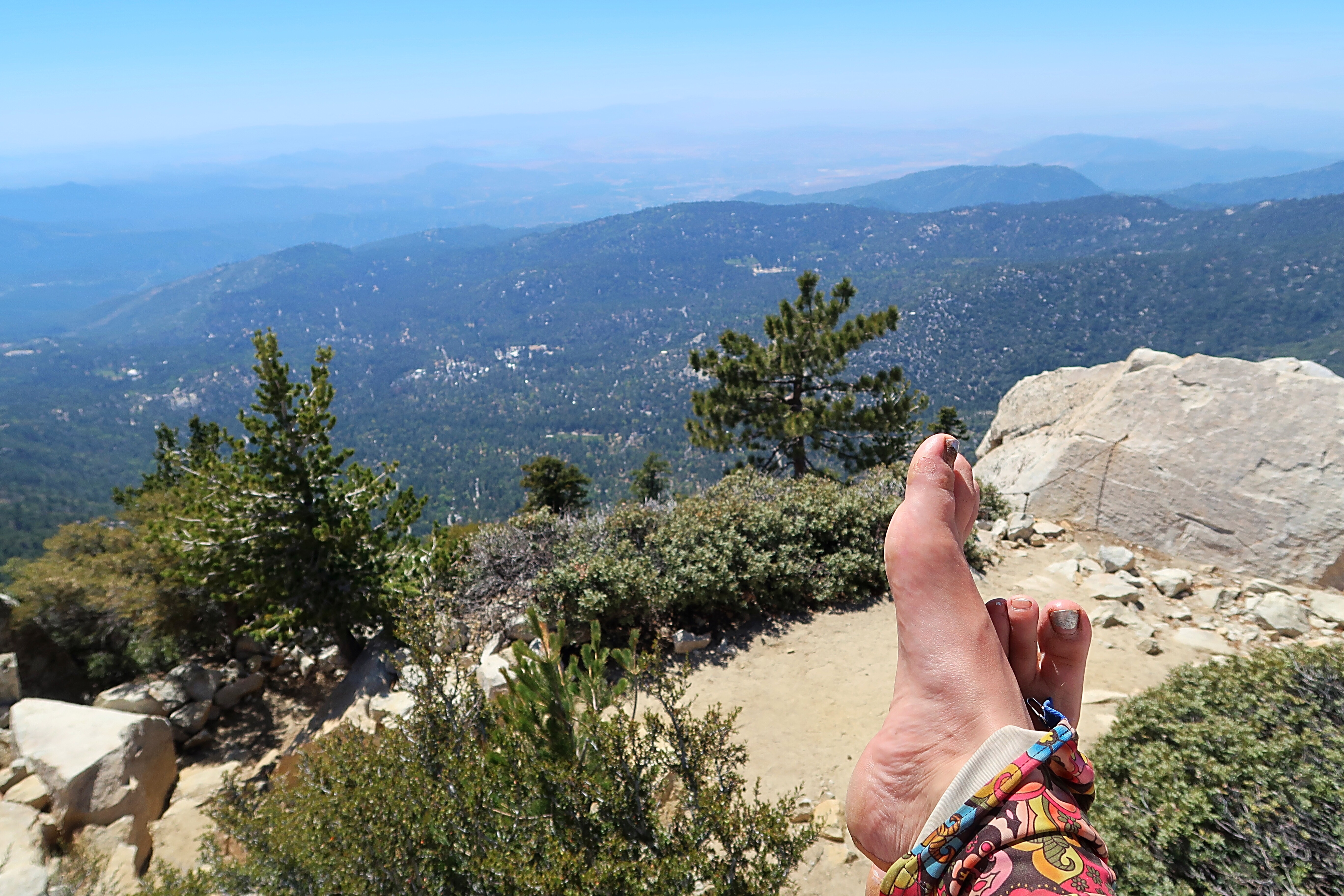
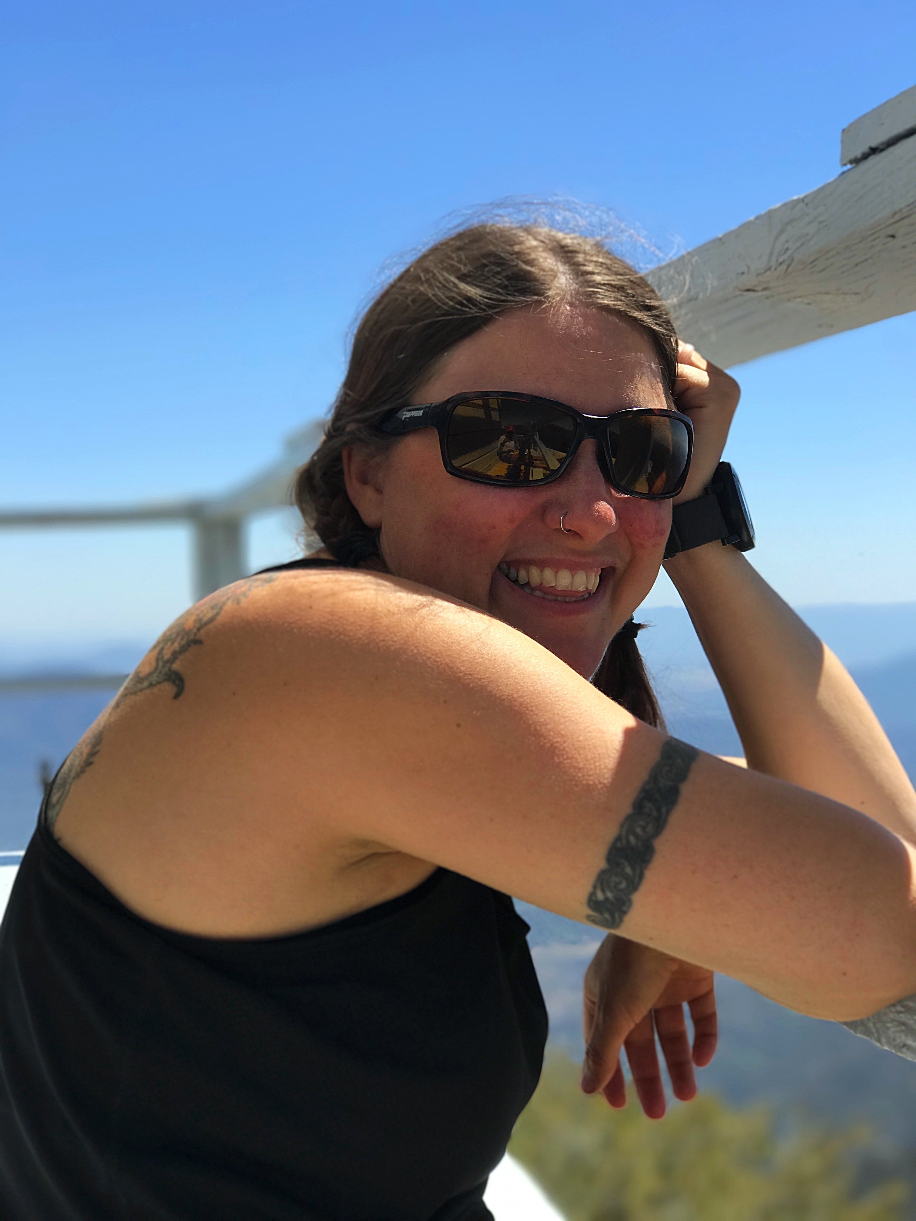
4.1 miles from the Southridge Trailhead we reached the Tahquitz Peak Lookout. The inside of the tower was closed today but we were able to climb the outside. From the top we were treated to the most amazing 360 degree views. Way way down below I could see the town of Idyllwild. Crazy to think that we had climbed up here from Idyllwild today!
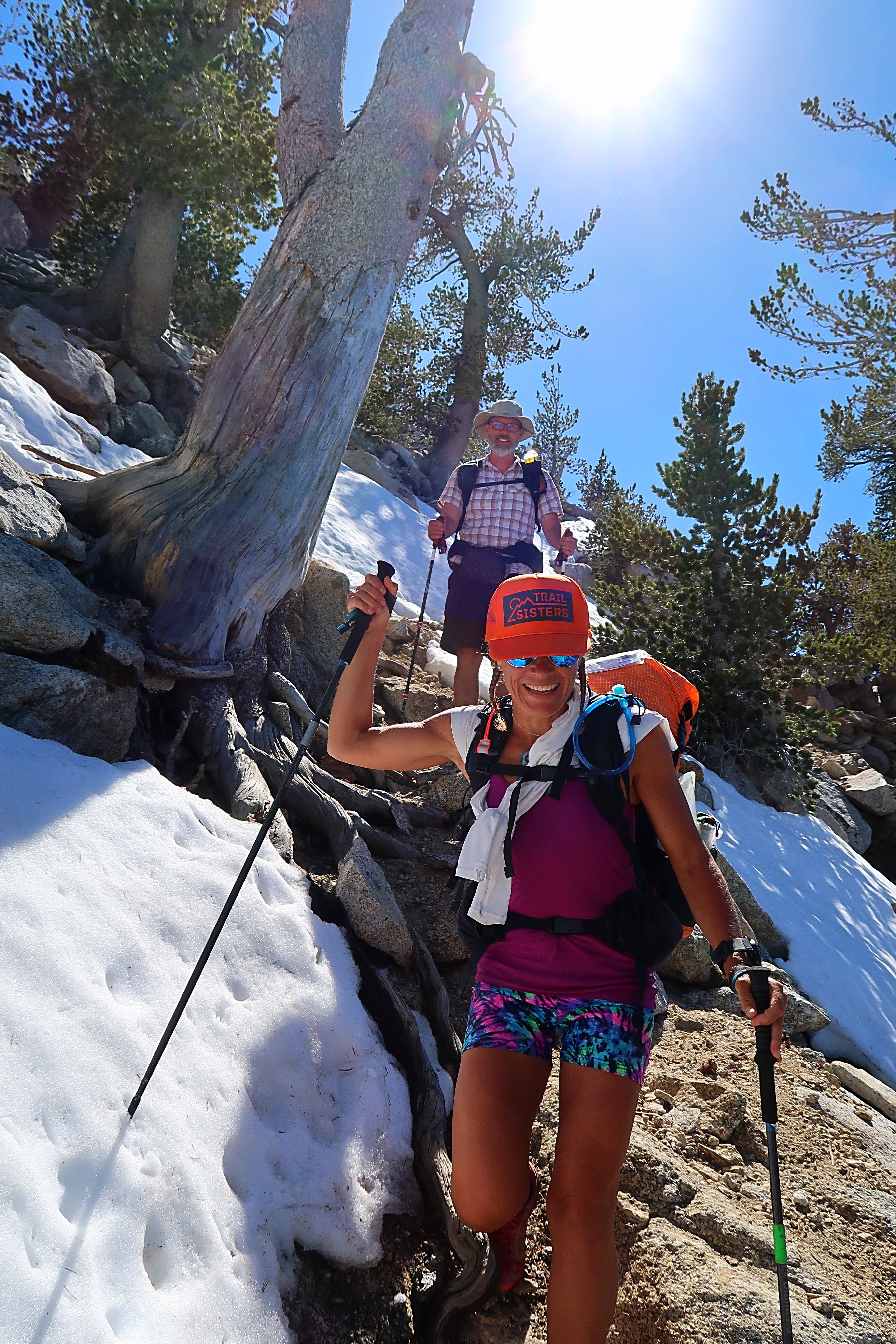
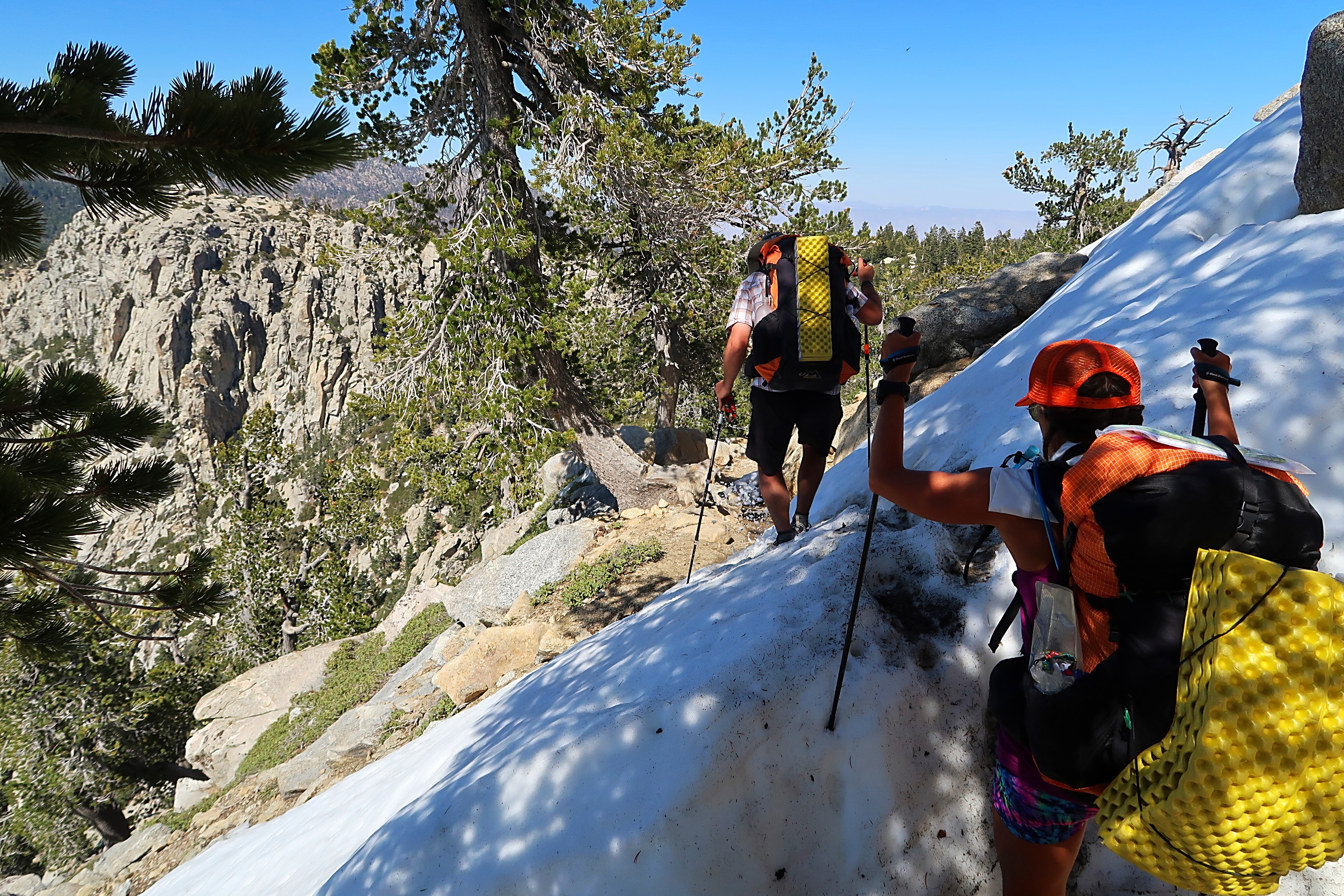
After a lunch break at the lookout, we continued on the remaining .4 miles on the connector trail to the PCT. We had been warned by the ranger working at the outfitters store that this section of trail was dicey and required microspikes – and he was absolutely right. In this section, big snow drifts repeatedly covered the trail – usually at a steep angle. The trail was barely carved into the side of the hill here and a misstep could have been very dangerous due to the steep dropoff on the other side. I was mildly terrified on several occasions as we traversed the snow. Thankfully someone else had previously gone through and cut steps into the snow so we were able to follow those for the most part.
The scariest moment of the day occurred when I was traversing one of the aforementioned snow drifts and slipped. I fell hard but caught myself with my hiking pole, which sank into the snow and snapped in half. I was able to retrieve both halves and was able to mend the pole – hopefully it can hold until I get a new one.
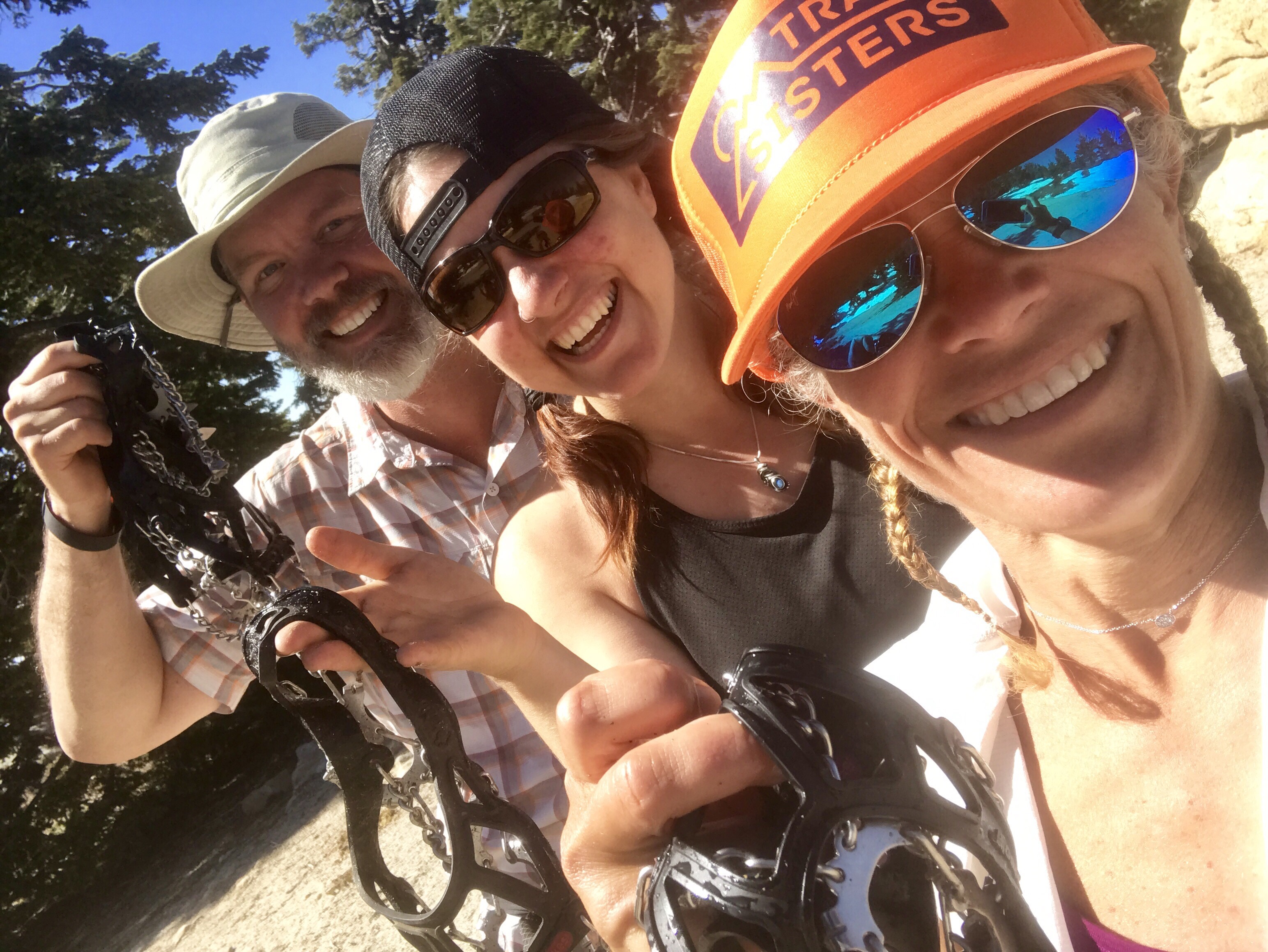
We were relieved when we finally reached the PCT and took a selfie with our microspikes to celebrate.
But that wasn’t the end of the snow. We actually had to walk through a lot more snow today, which was slow going, but the other snow wasn’t as scary because it did not also coincide with a steep dropoff on the other side of the trail. Here a slip in the snow could result in a twisted ankle instead of falling off the mountain. It did slow us down however.
We hiked past Saddle Junction and then past the first junction to summit Mt San Jacinto. Summiting the mountain is an optional 2.5-mile detour from the PCT. There are two ways to summit the mountain. One option is to take an alternate trail and hike up and down the mountain on the other side, reconnecting with the PCT a few miles later. Or you can do a there-and-back-again hike on the same spur trail in order not miss any of the PCT at all. Â We’re not sure yet if we’ll summit Mt. San Jacinto – if we do it will be tomorrow as we’ve already had a pretty challenging day.
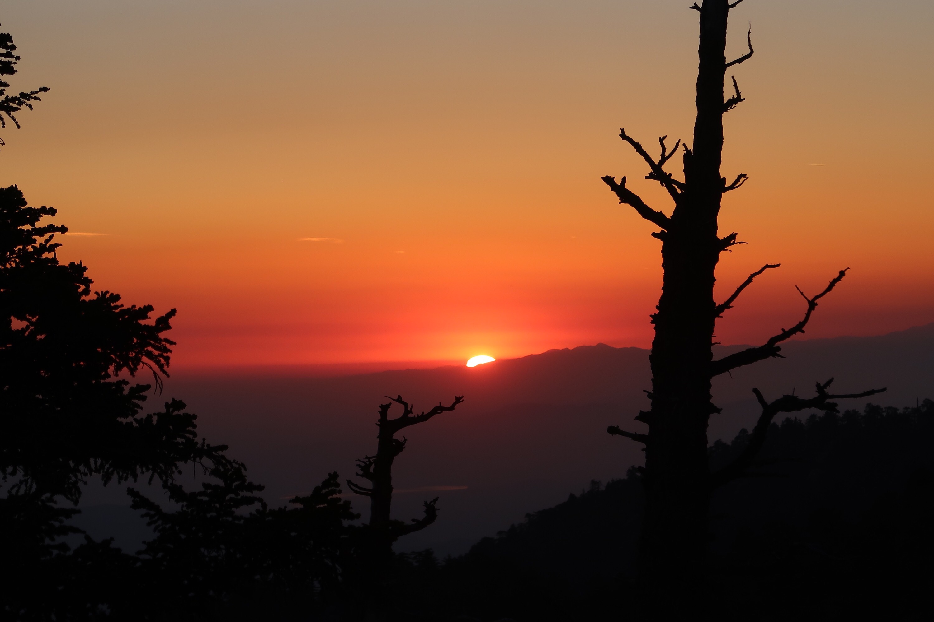
We hiked on another couple of miles along the PCT to a campsite about a half mile before Strawberry Junction and camped there for the evening. It’s one of the more stunningly beautified places I’ve camped. The campsite was located on a rock outcropping with incredible views of the valley below. No one else was camped here and there was plenty of room, so we had space to spread out. After the sunset, which was spectacular, the valley below lit up with so many lights that I didn’t even need my headlamp. I didn’t realize a city was down there.





Ahhh carbon fiber hiking poles. Light, but definitely liable to snap! One girl on my ski touring trip also snapped hers doing nothing in particular. :/
Remember to have three points of stability with the snow like snowshoe instructor said! 😀
It’s been 10 days since my Pole snapped and my repair job is still standing up just fine. I need to get a replacement but I’m still trying to decide what to get. Hmm.
Finally got a chance to read up. Great blog! Love reading your stories and all the pictures. Have fun and stay safe. Hey btw, the Mariners are winning 8 to 3 over the Phillies in the top of the 7th 🙂
Hi Mike! Great to hear from you. Hope you are doing well. Go M’s!!!