Monarch and I had a hard time waking up this morning. We had hiked late the night before and we were tired. So we broke camp around 7:30 am to provide for a little additional recovery time.
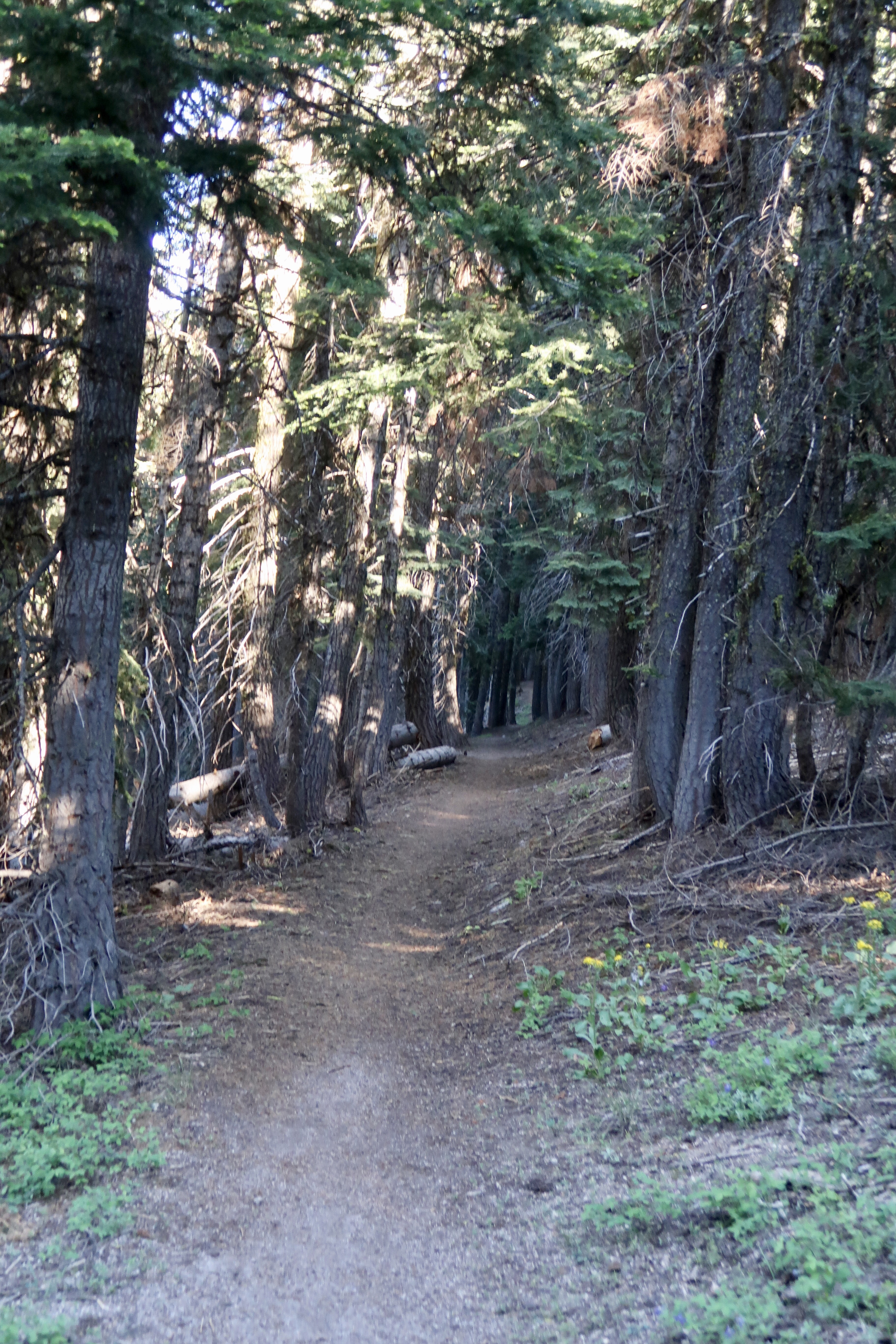
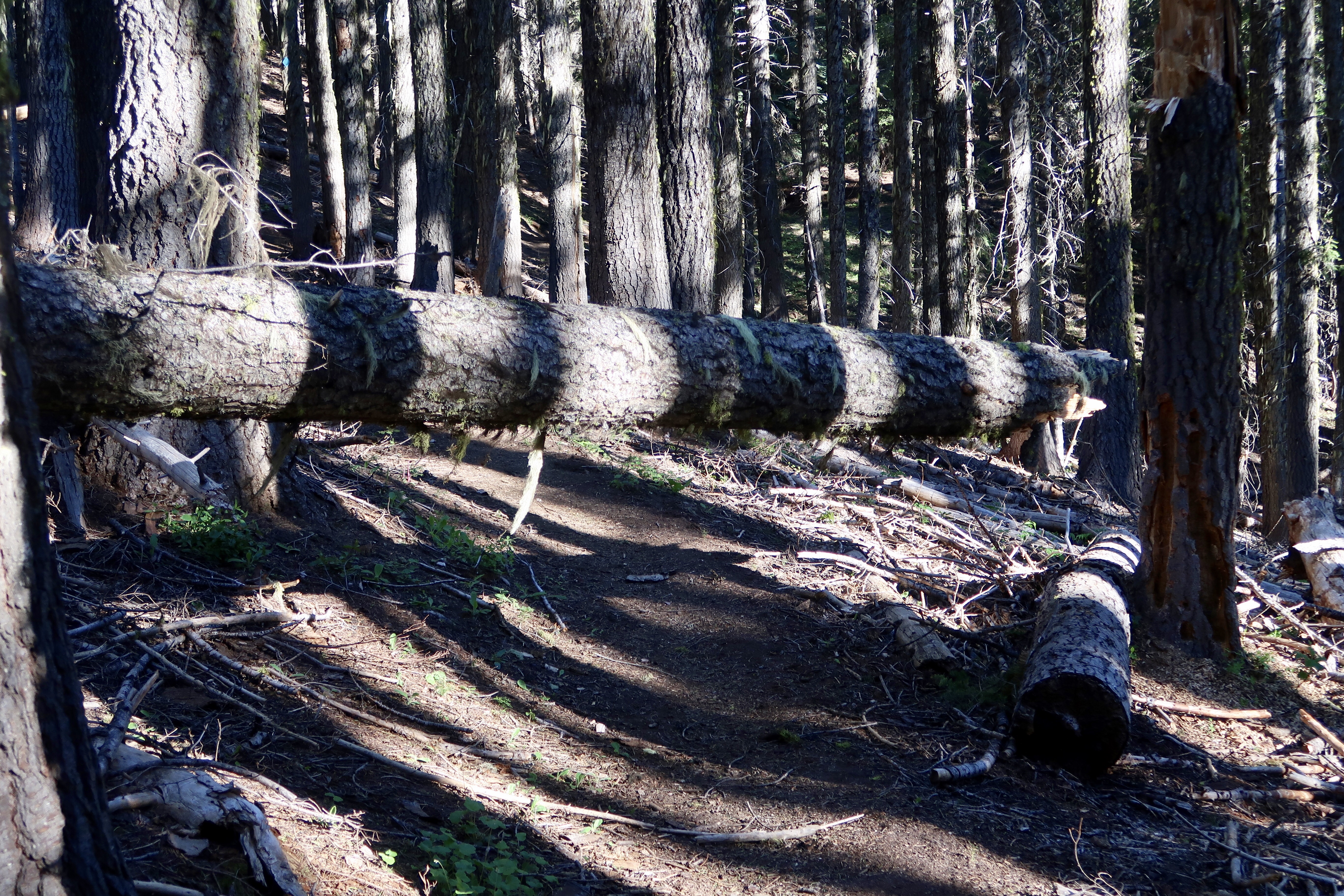
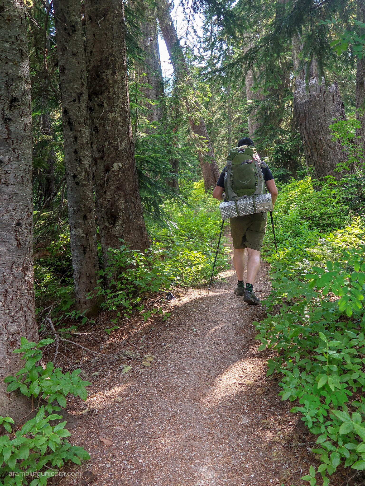
The path continued through the lush green forest. Trees waved slightly in the wind and made groaning noises when the trees scraped together. We encountered frequent blowdowns which took extra time to scramble over, under, or around.
Eventually the path climbed to an open alpine area on the other side of the Mt. Ashland ski resort. Mt. Shasta was visible in the distance. The view was breathtaking, especially after hiking in the desert for so long. A group of elderly day hikers passed by, but had to turn around when they encountered a tree blocking the trail. I gingerly scrambled over the tree and kept going.
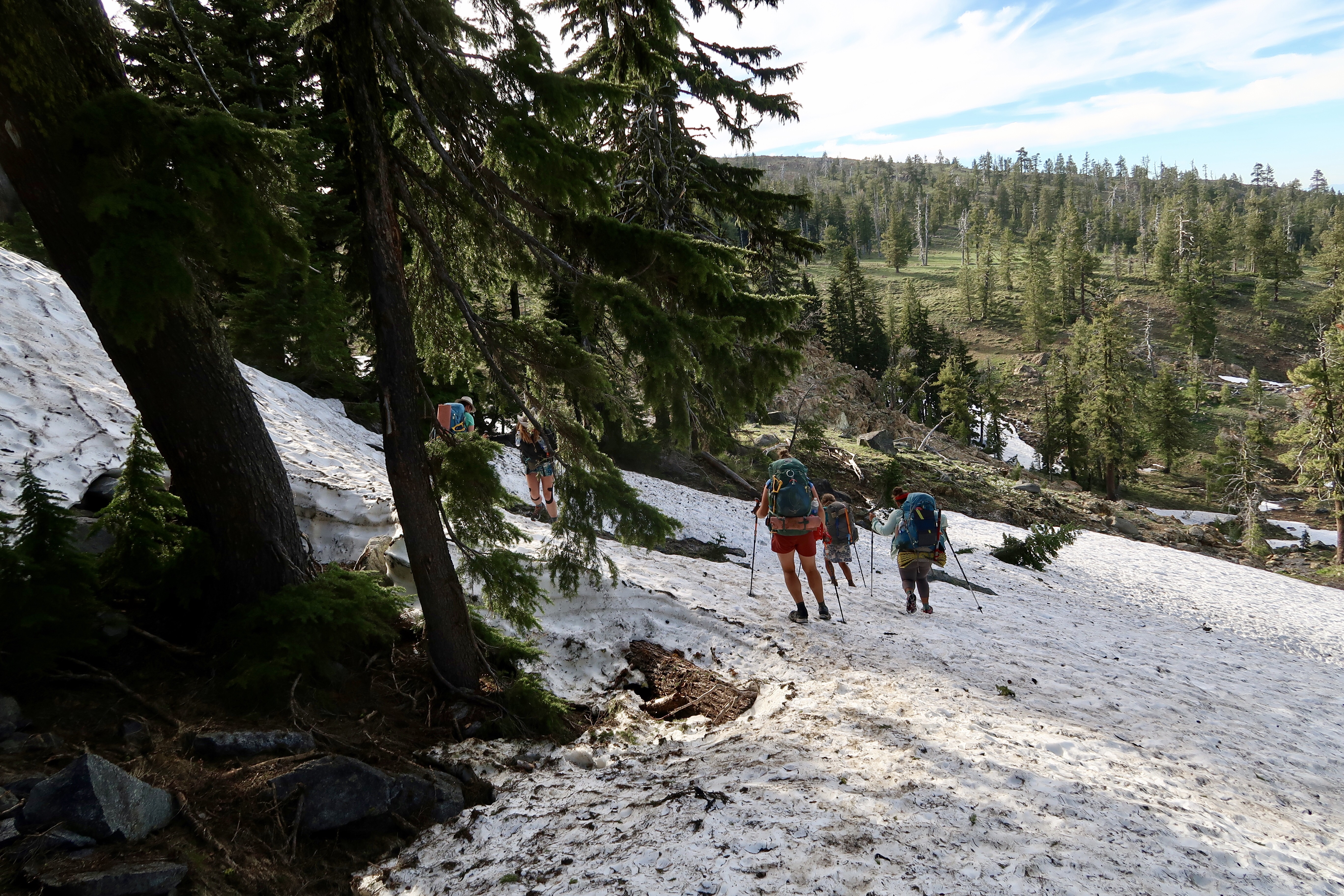
At lunchtime we ran into Tetris, Spider Mama, Hitch and Woodstock. We had planned to hike out of Ashland together but we hadn’t been able to coordinate our schedules. It was good to see them and we hiked out together, as we planned to tackle the upcoming snowy sections as a group.
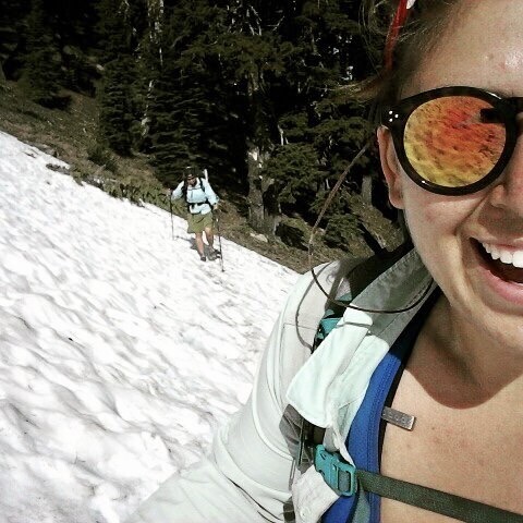
We began hitting our first snowy sections in the afternoon. Snow covered parts of the trail but it wasn’t too bad. It was a little annoying and difficult to find the trail, but not too slushy.
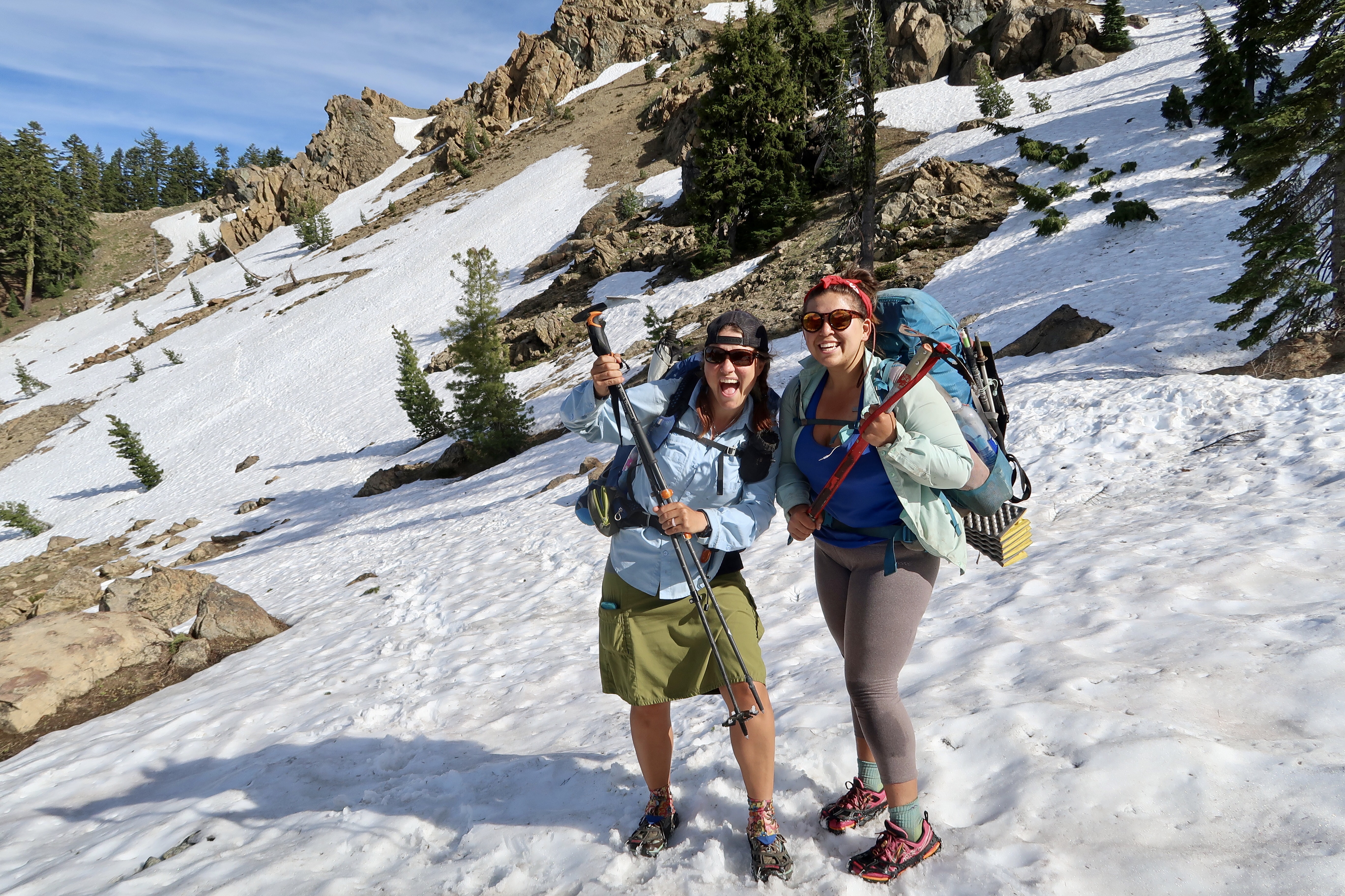
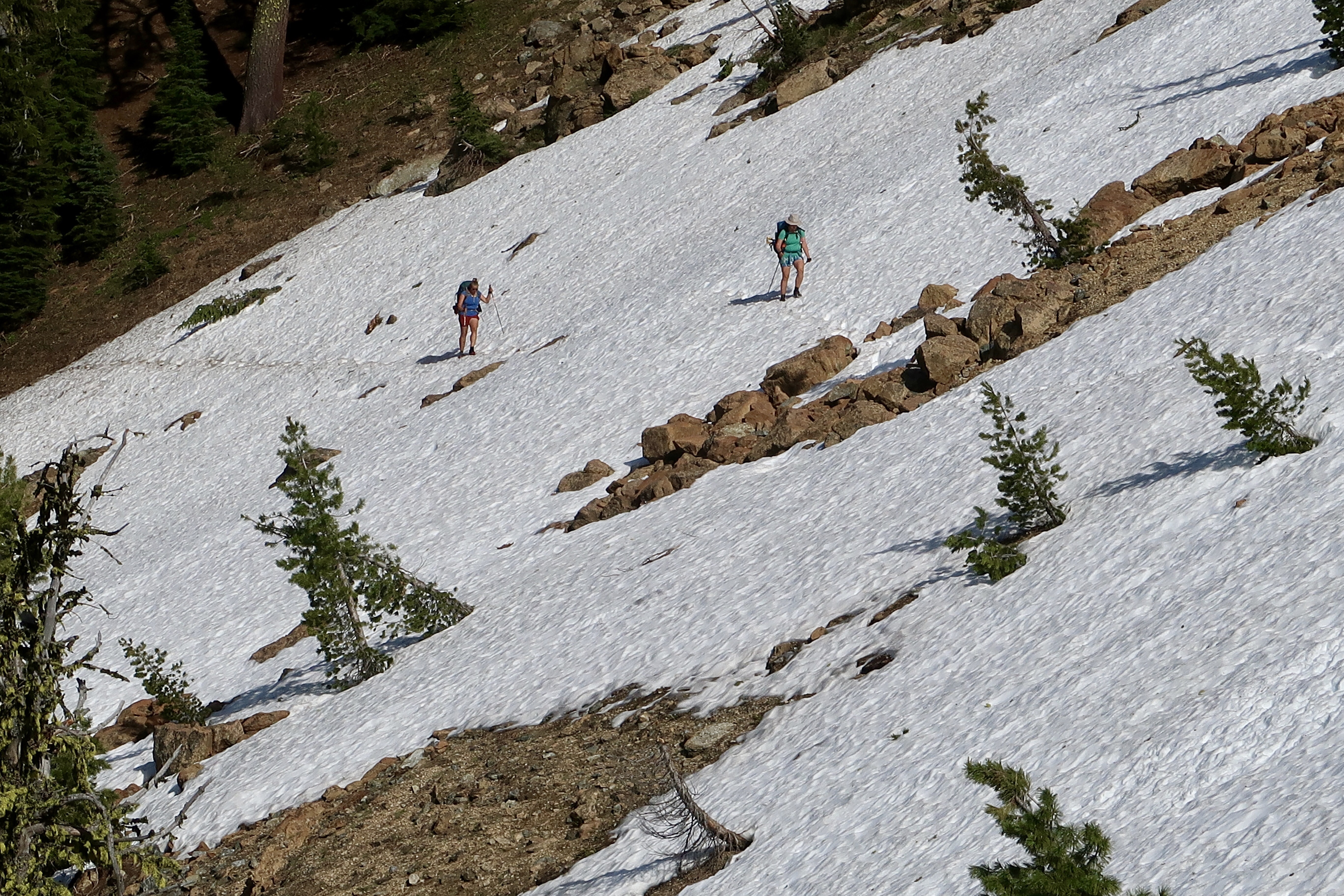
Late in the afternoon, Monarch and I rounded the corner and saw snow covering the trail, slanting down at a steep angle with a serious dropoff on the other side. Footsteps were clearly visible across the snow. We stopped to put on our microspikes. I took the protective covering off the handle of my whippet and Monarch got out her ice axe. This was going to be our first traverse and it was a steep one. But thankfully we could just follow the footsteps that were already there. I wished I actually knew how to use my whippet. After my snow skills class was cancelled I planned to watch some videos on how to self-arrest but I had forgotten to.
We slowly walked across without mishap and found Woodstock and Hitch waiting for us on the other side. We stopped and waited for Tetris and Spider Mama, who had fallen behind due to forgetting their tent rainfly at our lunch spot (they had to walk all the way back to get it). Crossing the snowfield was a little scary but exhilarating. The slope was steep but some shrubs and rocks were visible about a hundred feet below that could have broken a potential fall.
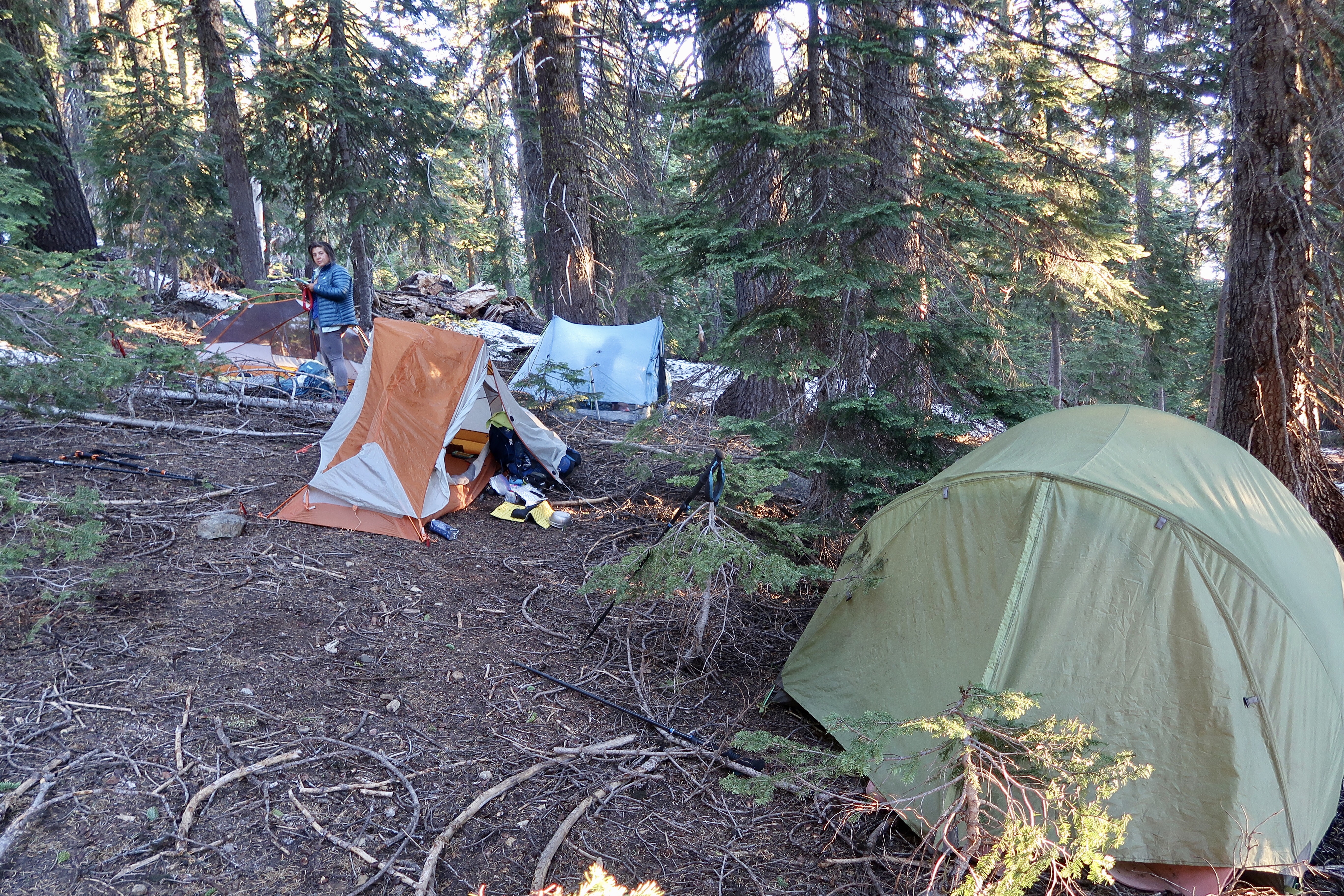
We planned to meet at a spring further up the trail – and as I neared the Spring the snow deepened again. I put on my microspikes and slogged over snowdrifts and around trees. When I arrived at the spring around 8:00 pm, we discovered that it wasn’t a particularly good place to camp – water seeped into the ground from patches of snow and the hill was slanted to a degree that made camping almost impossible. But we were too tired to hike any further and decided to camp there anyway.
PCT 2017 Stats
PCT Day 69 – Wednesday June 21
Mile 1710 to mile 1694.6
PCT Miles Hiked Today: 15.3
Total PCT Miles Hiked: 767.4
Feet Ascended Today: 2911
Feet Descended Today: 2229
Current Elevation: 6633
Steps: 29400
For more on my experience hiking the Pacific Crest Trail, visit my Pacific Crest Trail 2017 page:




0 Comments