Today was a pretty epic day. We hiked 19 miles which is a lot for me, but several of those miles included walking on snow or crossing snowfields which always makes for slower going and takes more effort. So it felt like we walked more miles than we actually did. We hiked from 7:00 am to 9:00 pm and I am exhausted. I got over 60,000 steps today which is a first for me.
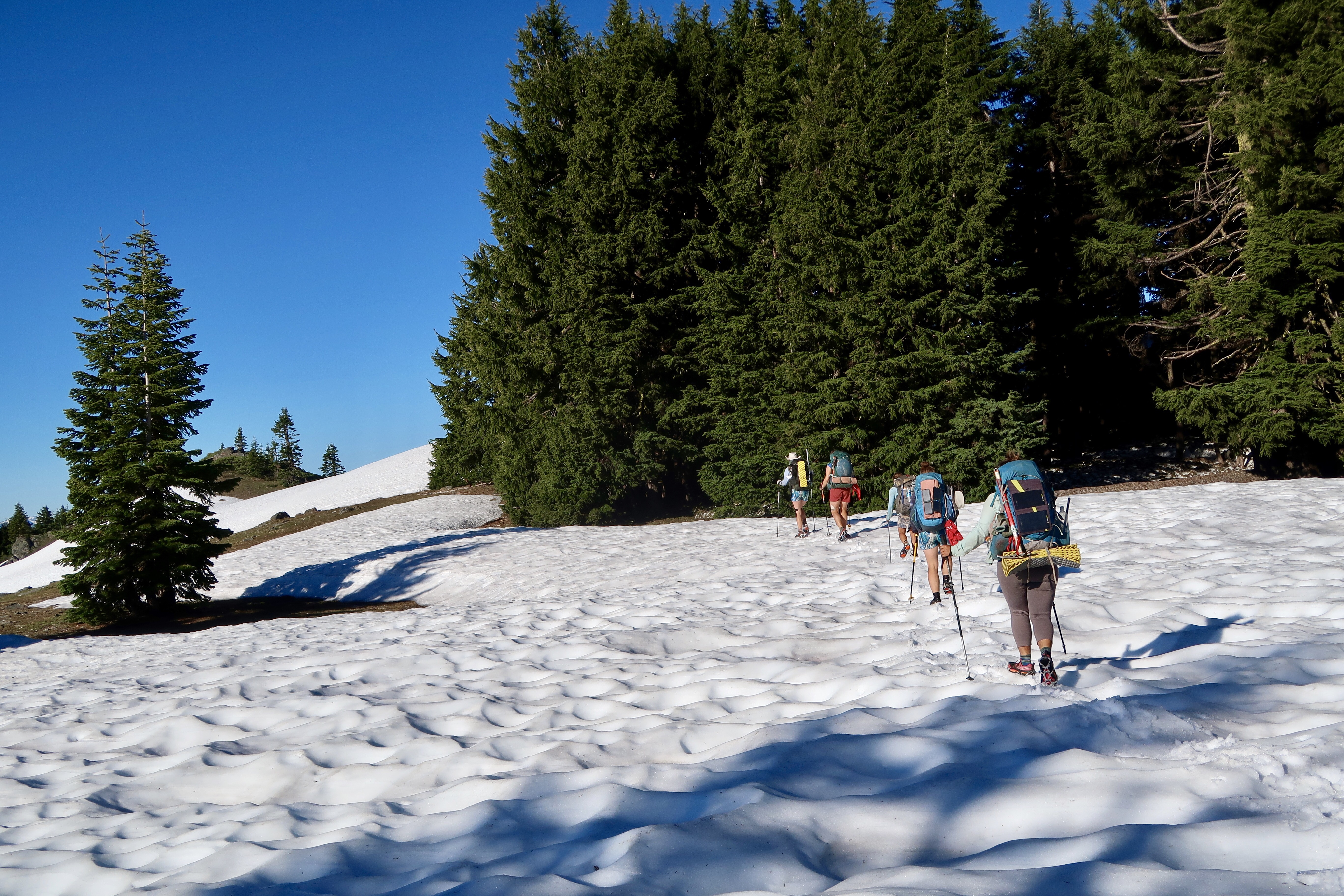
Good Morning! Hiking in the Snow
I had a lovely view of the sunrise over Mt. Shasta from my tent this morning. When we broke camp at 7:00 am, we had to immediately put on our microspikes. The trail was covered in several feet of snow and we had to navigate through the trees using GPS for 2-3 miles.

More Snow Hiking… Where’s the Trail Now?
About an hour into our hike, we were walking along a particularly steep section of trail when Monarch slipped and slid about 15 or 20 feet down the side of a hill on the snow. We were in the woods and lots of trees were around so she couldn’t have fallen too far. It was still scary though. I watched helplessly as she slid downhill on her stomach and was heading straight for a treewell that was about 2-3 feet deep. She self arrested with her fingernails and stopped herself which was a relief. She had her ice axe strapped to her backpack and so took it out and used it to help claw herself back up the hill. As she pulled herself up on the trail, her phone fell out of her pocket (the zipper had broken) and slid right back down the hill into another treewell. So she had to scramble back down the hill to get it, ice axe in hand.
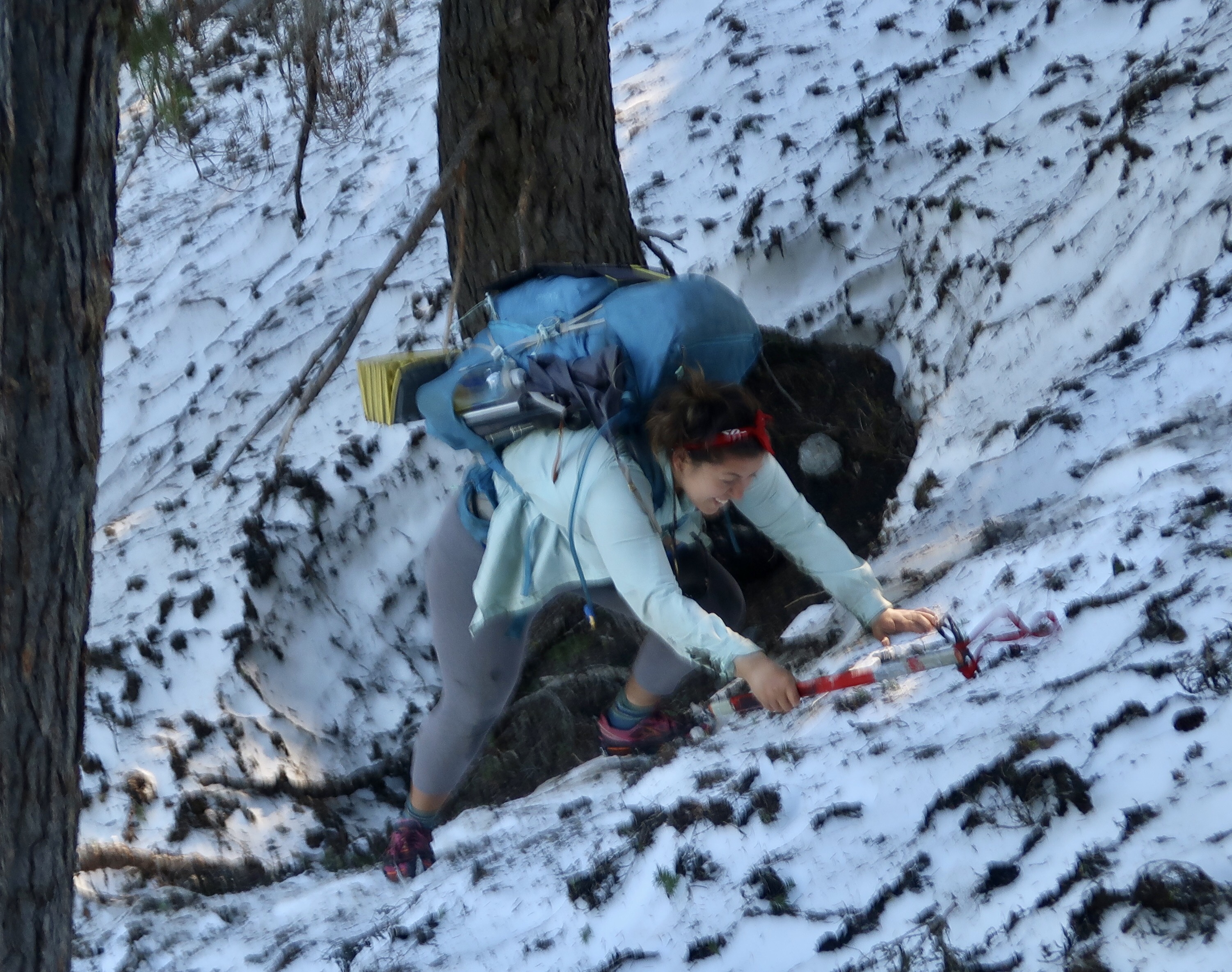
Monarch Climbs out of a Tree Well
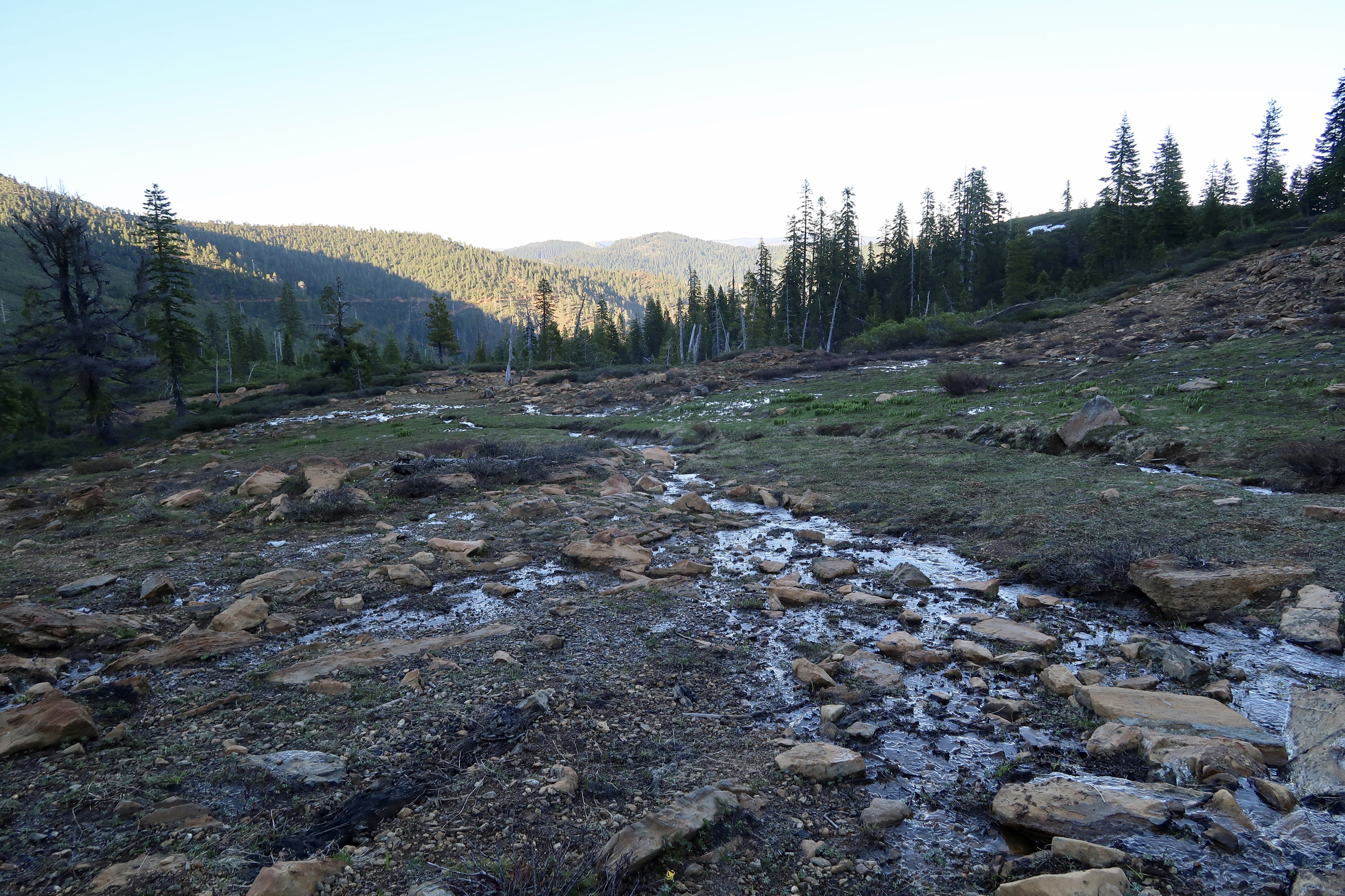
After this incident, we took a break and consulted our maps. The trail continued along the north face of the mountain for a ways, deep in the woods. This meant the trail would be snow-covered and therefore slow going and potentially dangerous. However, we could see that some forest service roads closely paralleled the trail. We decided to take the roads as they tended to be on the south side of the ridge which meant less snow. Also, when the roads did have snow, they were flatter and didn’t have trees and were easier to navigate. This was a great decision as we effectively skipped most of the rest of the snow for the day by taking this route.

The Hills Are Alive … with the Sound of Music!
Woodstock
During our road walk, an old man emerged on the road wearing blue jeans and an old-style pack with large sleeping bags and rolls attached to it. Without preamble, he asked us if we’d seen the Howdy Doody show when he neared us. No one had. It was a really odd encounter.
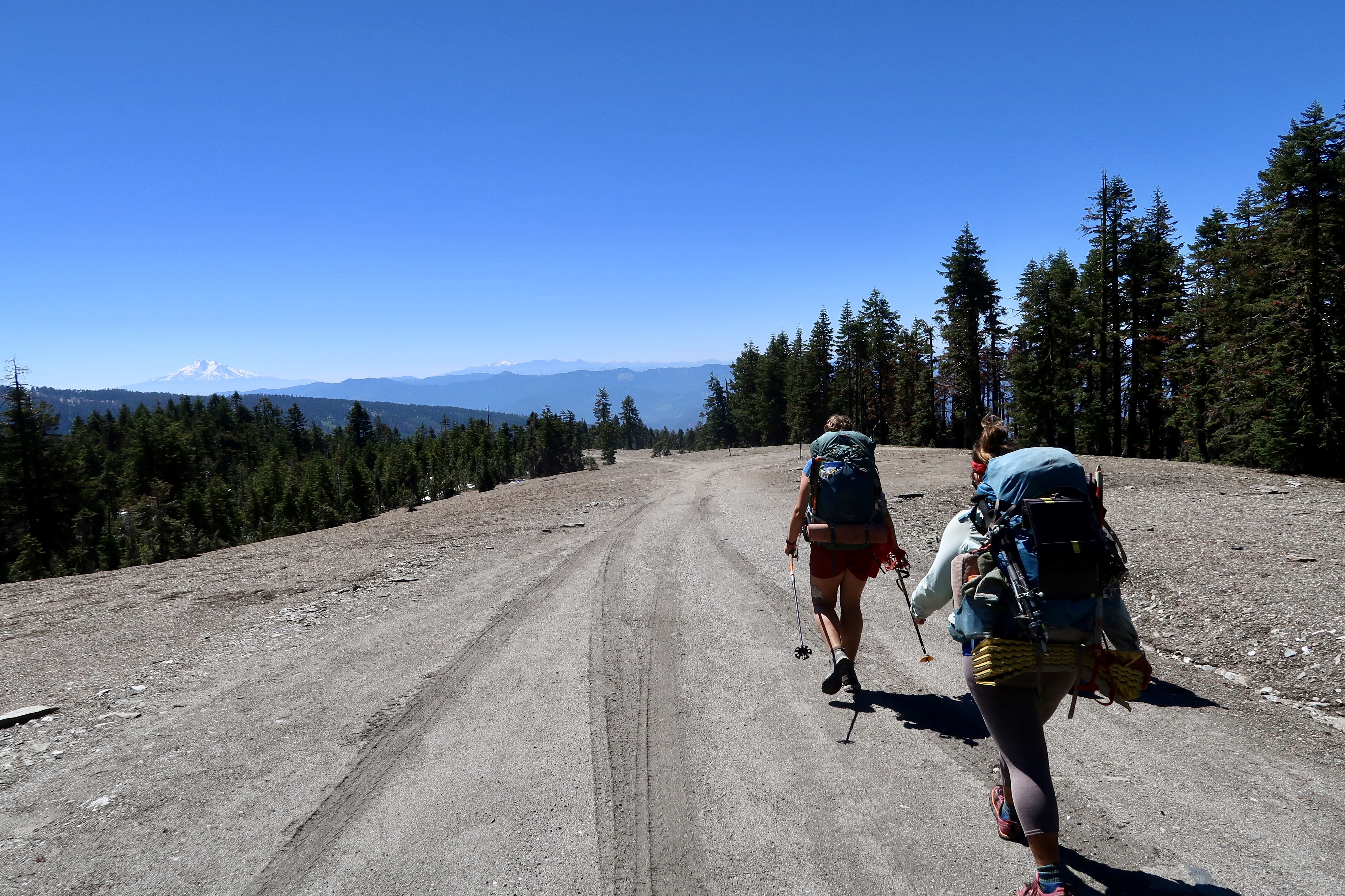
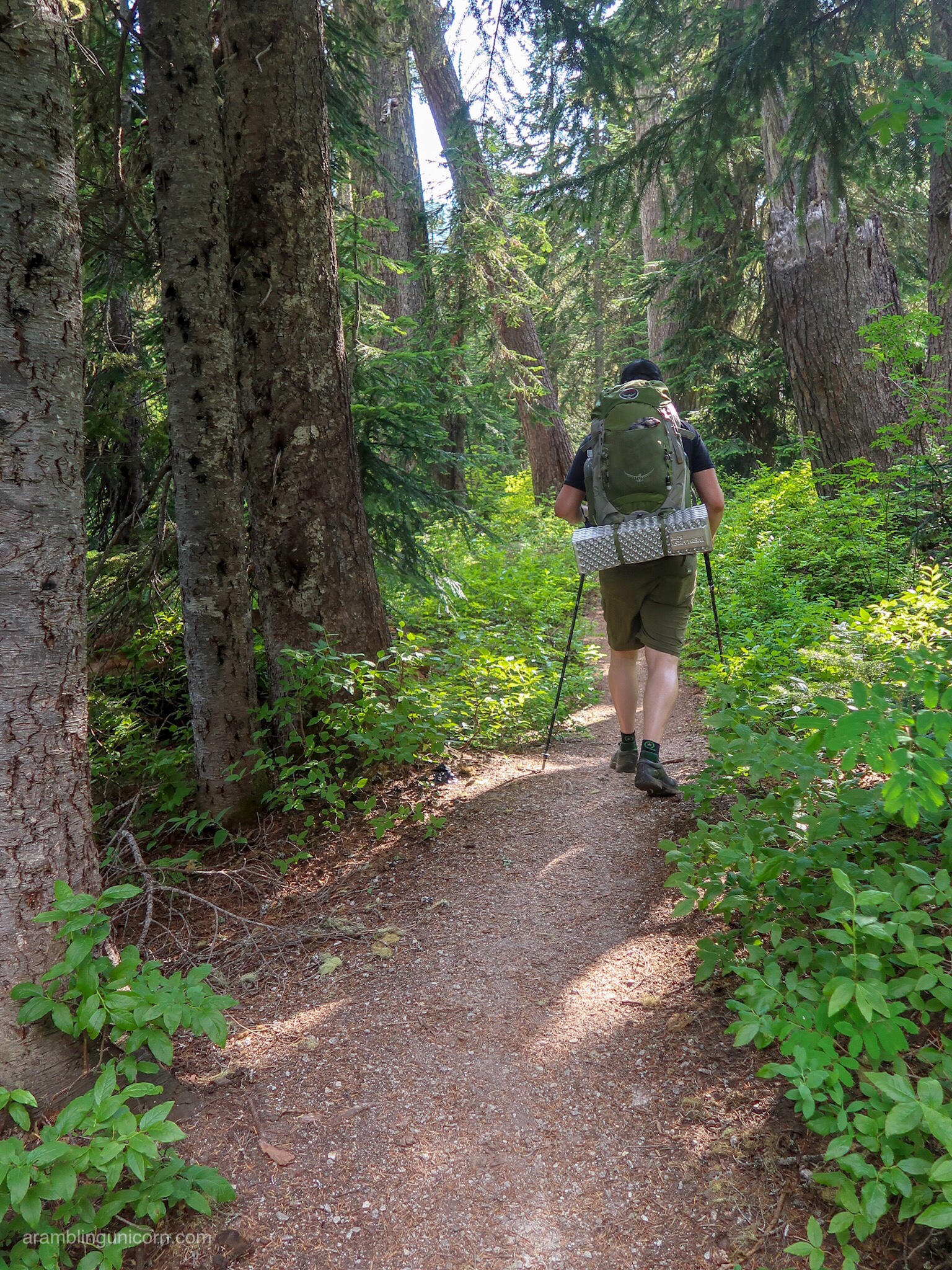
Walking on Forest Service Roads. This is way easier than walking on snow!
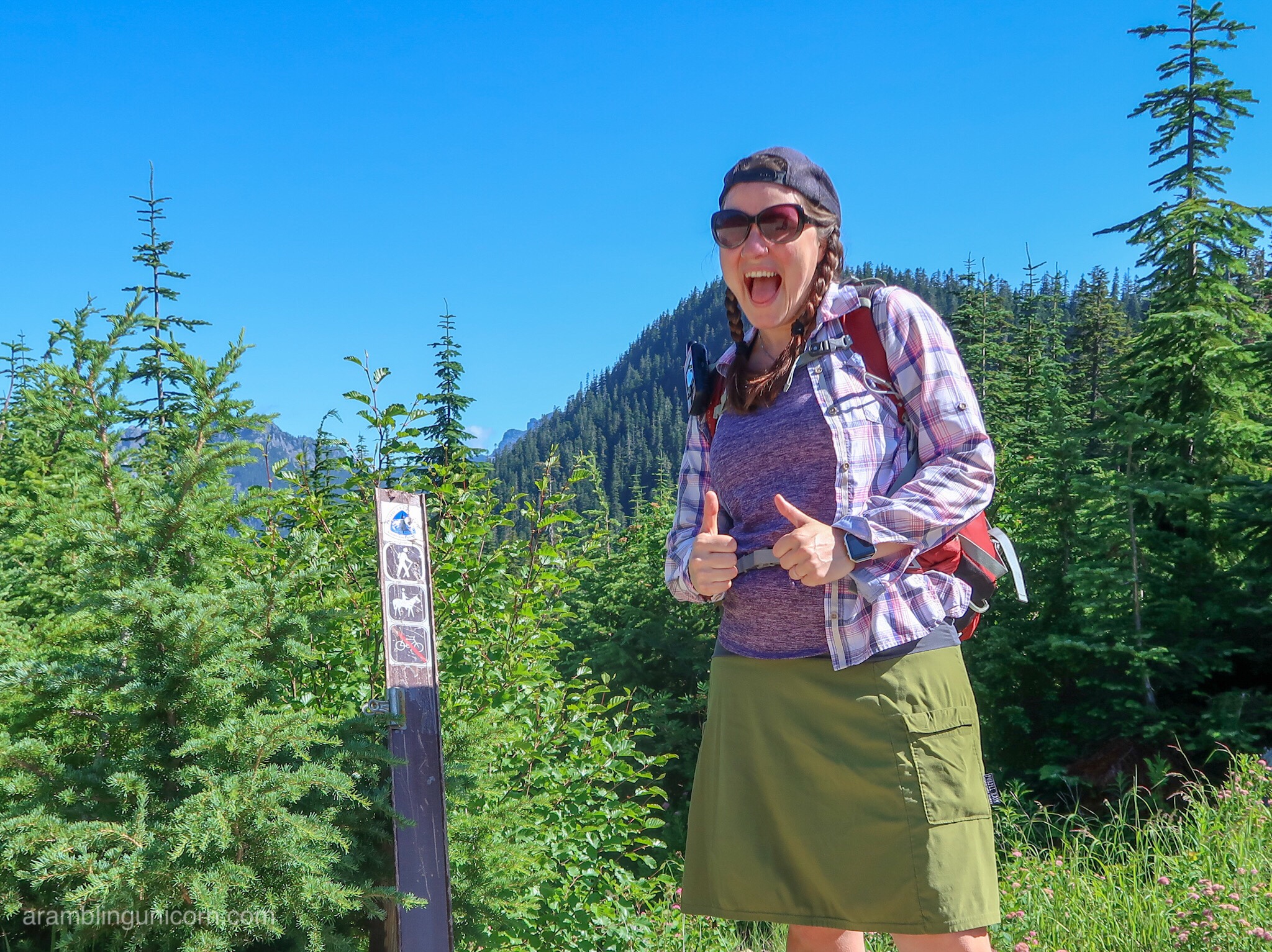
Woodstock Practices Self-Arresting in a Snow Bank
We cheered when the road intersected with the PCT again about 11:00 am. We had travelled 5 miles in 4 hours which was faster than yesterday but still slow. We hoped we were about done with the snow for the day, although some northbound hikers informed us about a couple of remaining snowy parts. The day was getting hot, and as we hiked down out of the trees it started to feel like California again. My hiking partners actually saw 2 rattlesnakes.

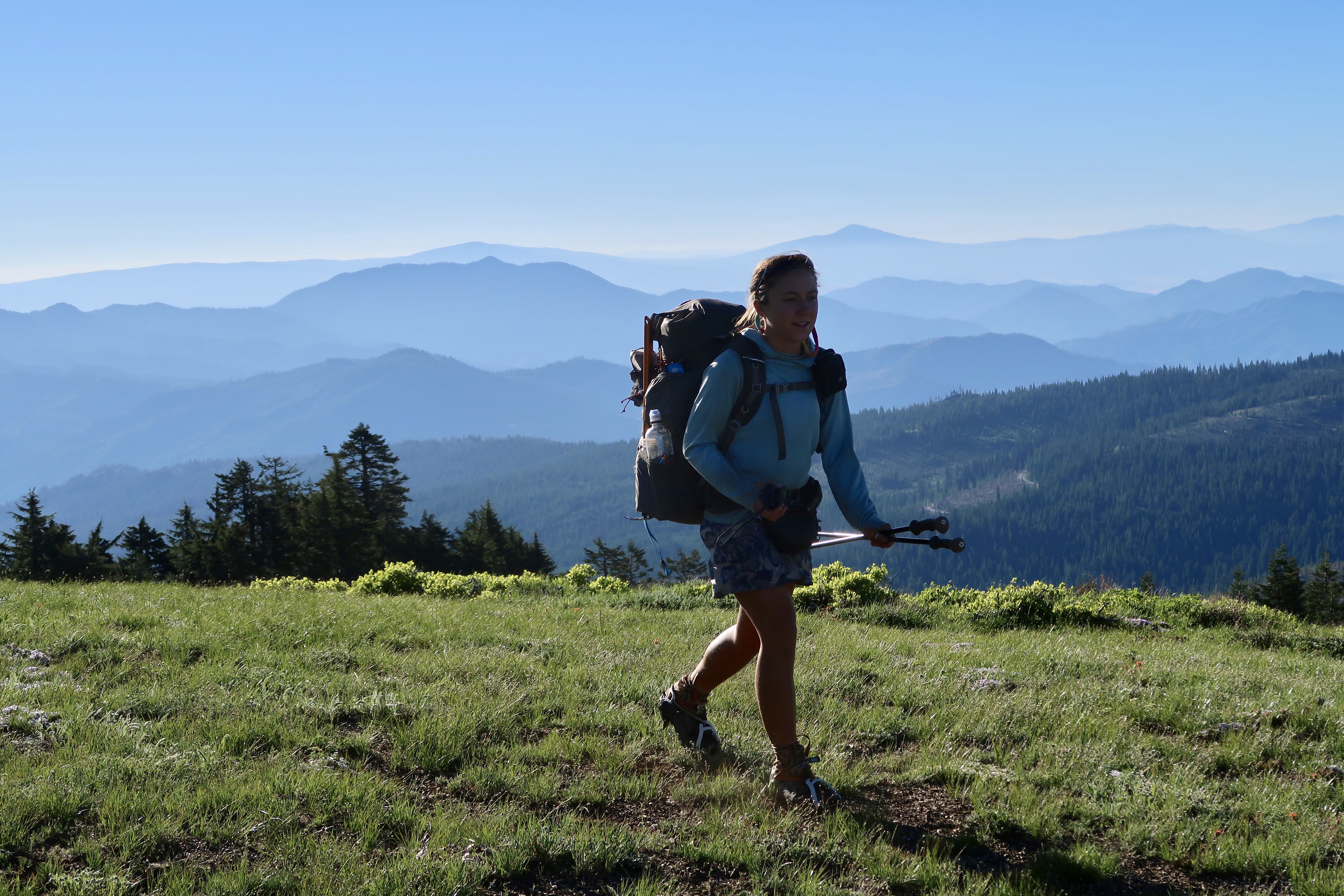
Alex Hole Overlook
We planned to camp that evening at Kangaroo Springs and, as we thought the worst of the snow was behind us, our group naturally spread our according to our different hiking speeds. The trail climbed up and over into some lovely meadows revealing breathtaking views of distant mountains. I was near the end of our hiking party with four girls ahead of me and Monarch behind me. I took my time, enjoying the views and taking photos. What a beautiful evening.
More Lovely Alpine Views
I rounded a corner to see Lilypad lake below me, with the mountains and trees reflected in its smooth surface. A frog chorus boomed out from the water. A few tents were set up on the edge of the lake. At first I thought the tents might belong to my friends but it was hard to tell as it was far away. After squinting a little I guessed they belonged to a different hiking group so I kept going as Kangaroo Springs was only a mile away.
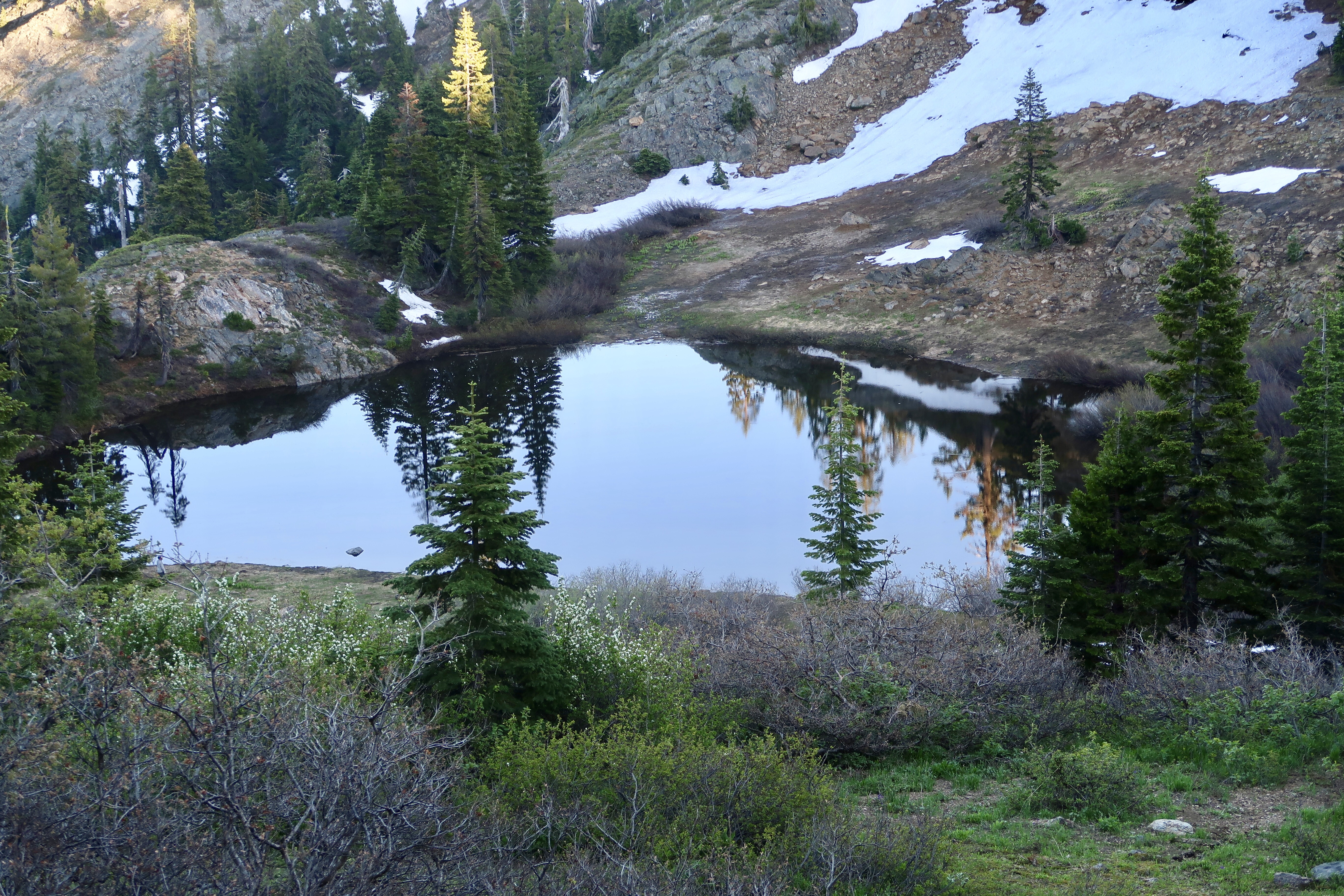
Lily Pad Lake
The trail crossed a ridge above Lily Pad Lake to get to Kangaroo Springs. When I approached the ridge, I saw it was covered in snow at quite a steep angle. Hmm. I was tired and hungry and just wanted to get to camp so I could relax and eat. I should probably wait for Monarch, I thought, but I wasn’t sure how far behind me she was. I wasn’t even sure if she planned to camp with us since we thought we were out of the snow. So I put on my microspikes and started walking across.
Halfway across I realized I had made a mistake. The footsteps I was following were old and it occurred to me that my friends must not have gone this way. The old footsteps trailed off halfway across the snow and the angle over the ridge was too steep to attempt safely. Hmm. What to do next? I slid into a treewell and painstakingly made my way back to where I started.
I seemed to have two remaining options – I could go up and around the snow patch or I could go down below the snow patch. I could see some footprints on the rocks above the snow and decided that my friends did must have gone that direction. So I started scrambling up the rock face above the snow patch.
What I *should* have done at that point was to wait for my hiking buddy, Monarch. I was too tired and hungry to think clearly and I should *never* have attempted something that dangerous by myself. But I wasn’t thinking clearly. I doggedly scaled the rock face, feeling rocks crumble beneath my feet as I went. The weight of my backpack threw off my center of gravity and I almost fell backwards a few times. I considered taking off my pack and scooching it ahead of me, but I kept going. When I got to the top I gulped as I looked down. What was I thinking? I realized how vulnerable I was. But I couldn’t go back down safely and I was still a ways away from the trail. I had to bushwhack my way through some very stubborn manzanita trees and thorny bushes to get back to the trail.
At this point I was shaky from exhaustion and fear. And I felt terrible that I had left poor Monarch to do this section by herself. I pulled out my DeLorme and texted her not to try this section by herself and suggested that she spend the night at Lily Pad lake with the other hikers camped there.
When I approached Kangaroo Springs, I found my other four hiking partners anxiously awaiting our arrival. Another of my hiking partners also got separated from the group and tried to hike up and around the snow patch like I did. She was also very shaken up. The rest of our group bushwhacked a trail below the snow patch, which turned out to be a much safer option.
I set up my tent in as it got dark, worrying about Monarch. Would she get my message? Would she try to cross the snow patch solo? Half an hour later she marched triumphantly into camp, completely oblivious to the fact we were all worrying about her. She had thankfully chosen to hike below the snow patch and made it through just fine. I surprised her by rushing over and hugging her as she entered camp.
We agreed we had made a mistake in splitting up to hike that last patch of snow and agreed to discuss tomorrow how to do better in the future.
PCT 2017 Stats
PCT Day 71 – Friday June 23
Mile 1682.9 to Kangaroo Spring Mile 1663.5
PCT Miles Hiked Today: 19.3
Total PCT Miles Hiked: 798.4
Feet Ascended Today: 3001
Feet Descended Today: 4017
Current Elevation: 5675
For more on my experience hiking the Pacific Crest Trail, visit my Pacific Crest Trail 2017 page:

0 Comments