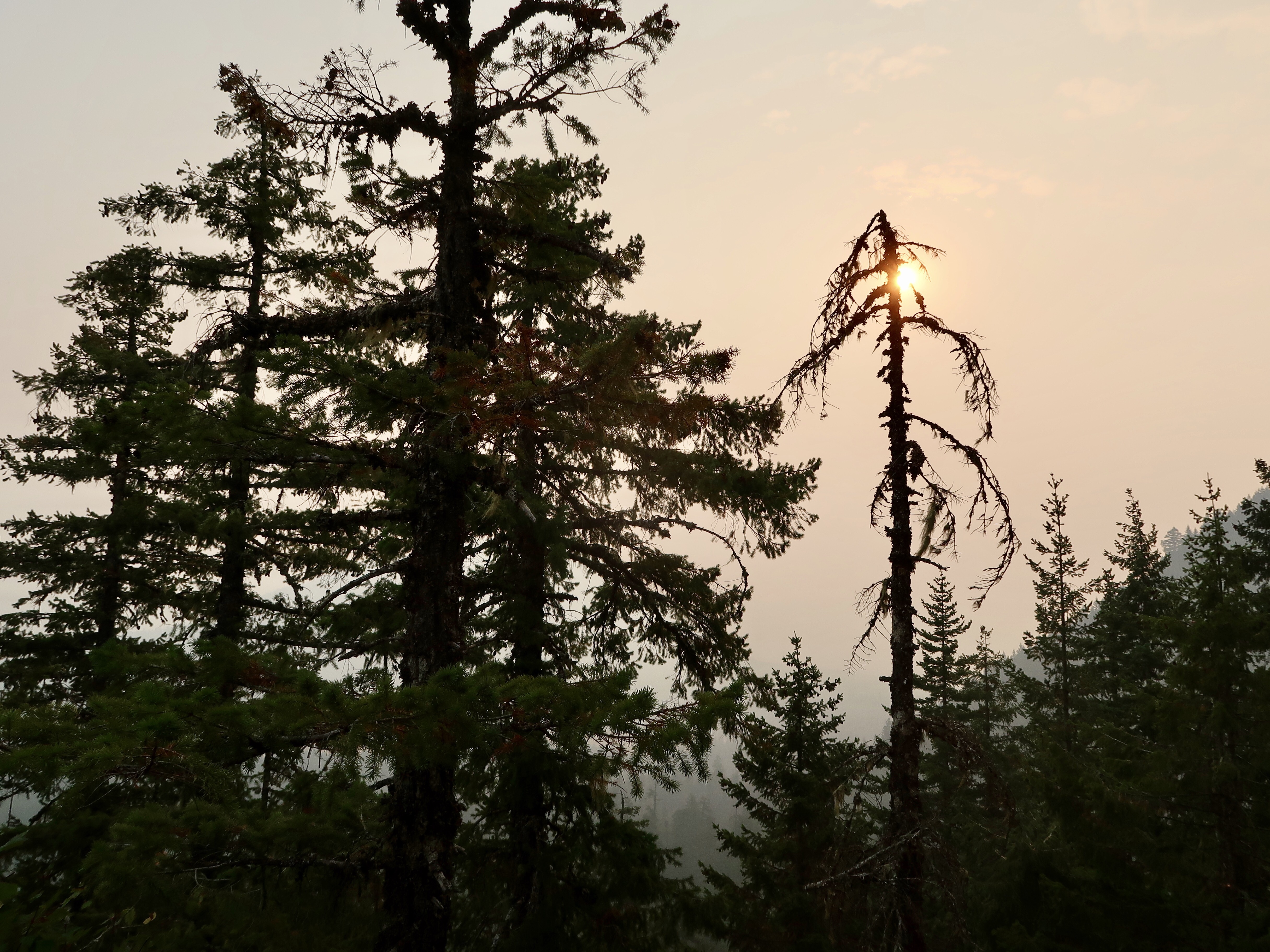
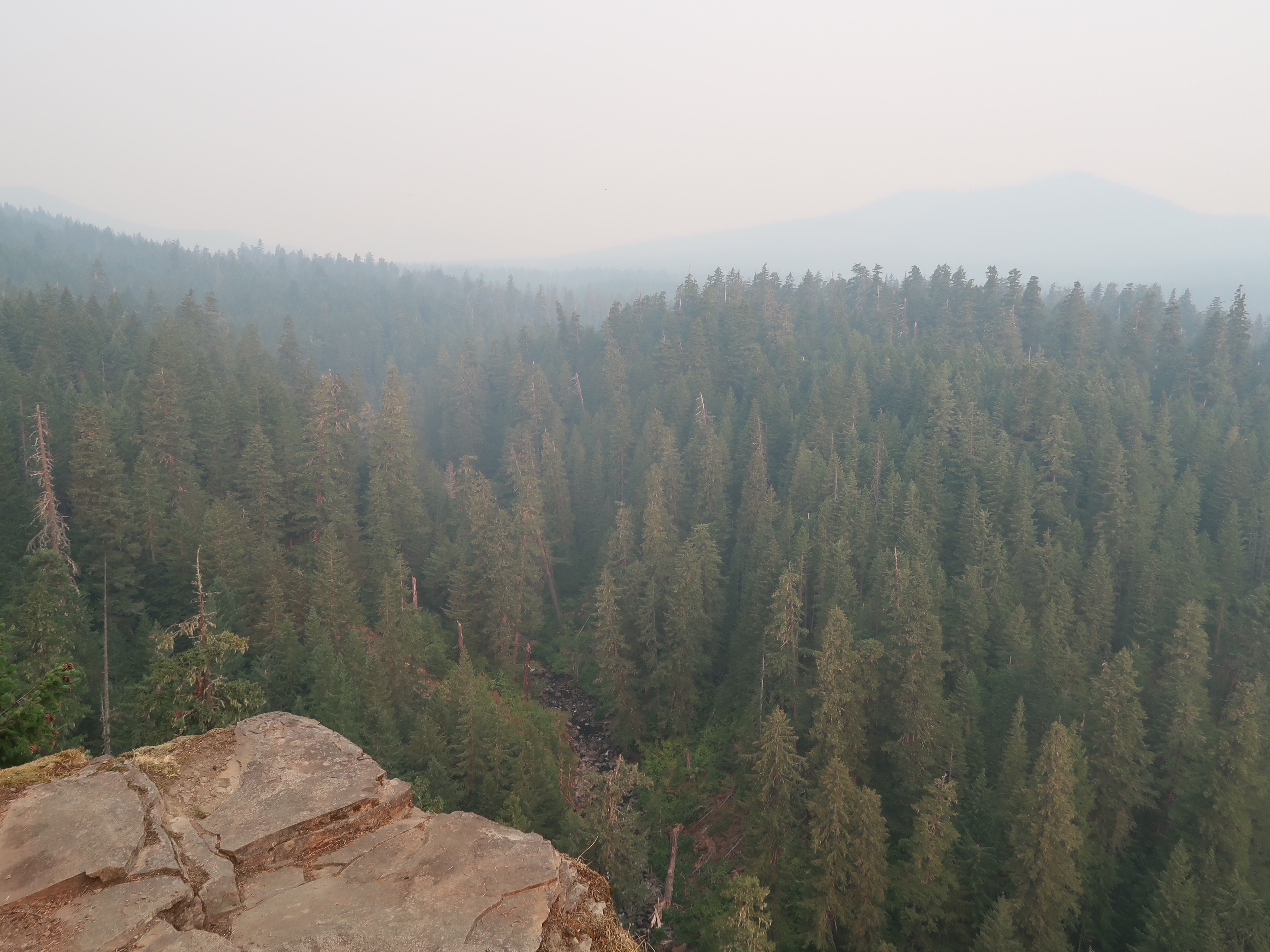
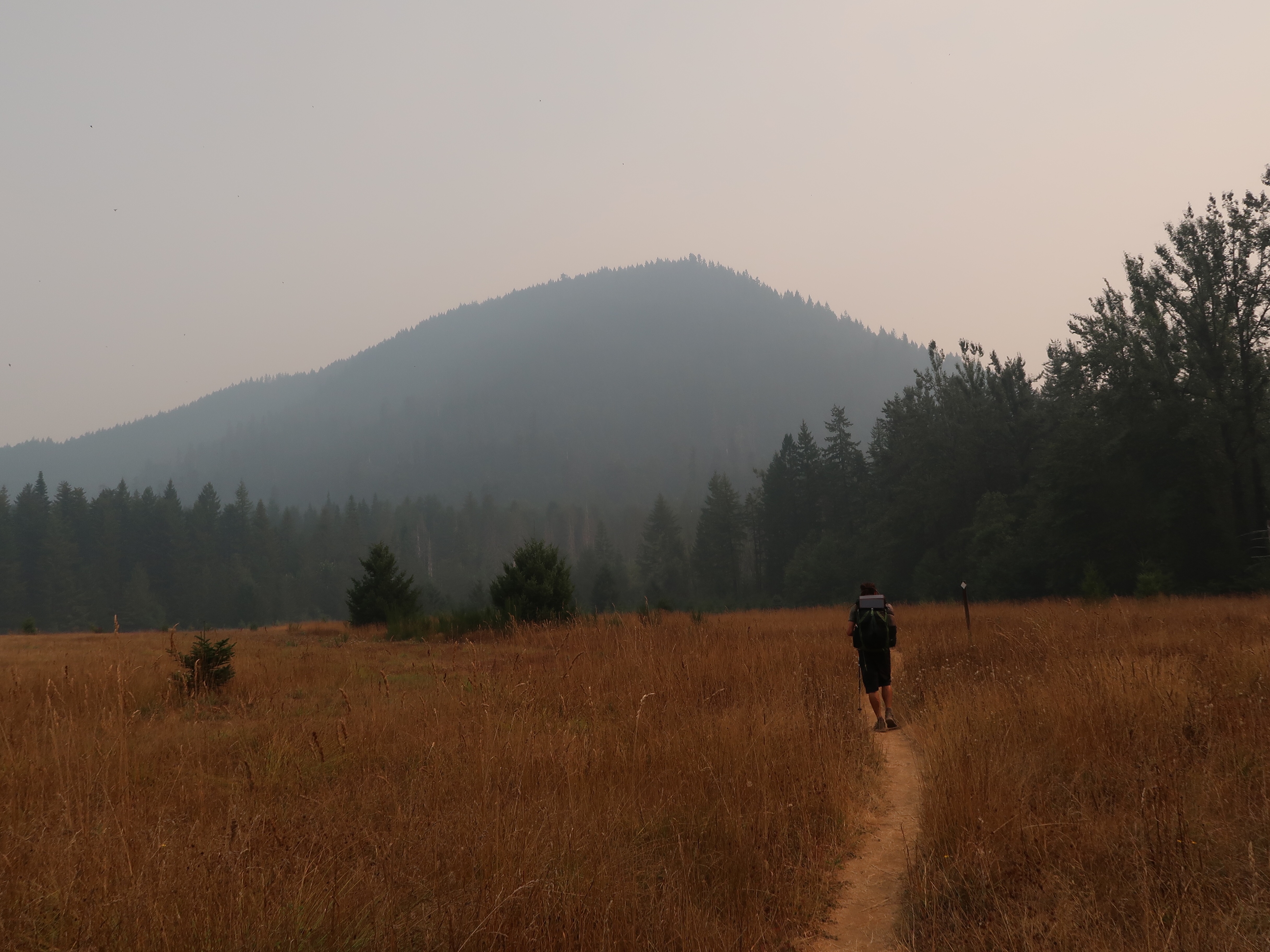
I awoke to the smell of smoke. The sky was gray and it was impossible to see very far into the smoky haze. I had one bar of reception and was alarmed to discover that the Eagle Creek fire spread rapidly overnight due to windy conditions. The fire has apparently spread as far as Multnomah Falls and has also jumped across the Columbia River. Interstate 84 is now closed from Troutdale to Hood River and hundreds of people are being evacuated from their homes. I was horrified by the scale of the fire and terrified by how quickly the fire had spread. I wanted to hike north as quickly as possible and put the Eagle Creek Fire far behind me.
But I was also worried about the next fire north of me in Indian Heaven Wilderness, now called the East Crater Fire. It had just started a couple of days ago. I was currently 25 miles from the southern boundary of the fire but what if the winds had caused that fire to spread as well? For that matter, what if a new fire started even closer to me, out of the blue? I was sandwiched between two fires and new ones seemed to be cropping up all over the place.
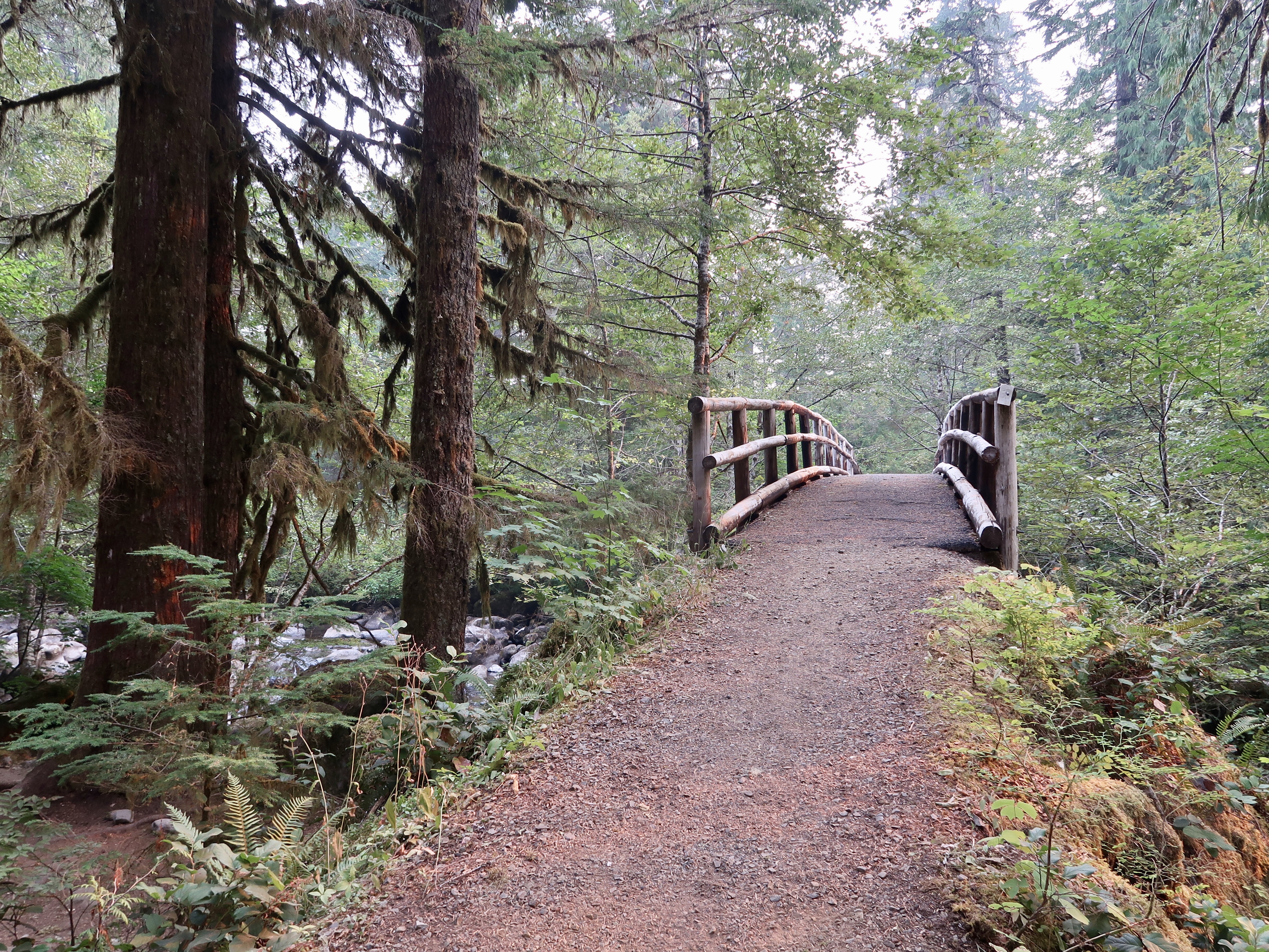
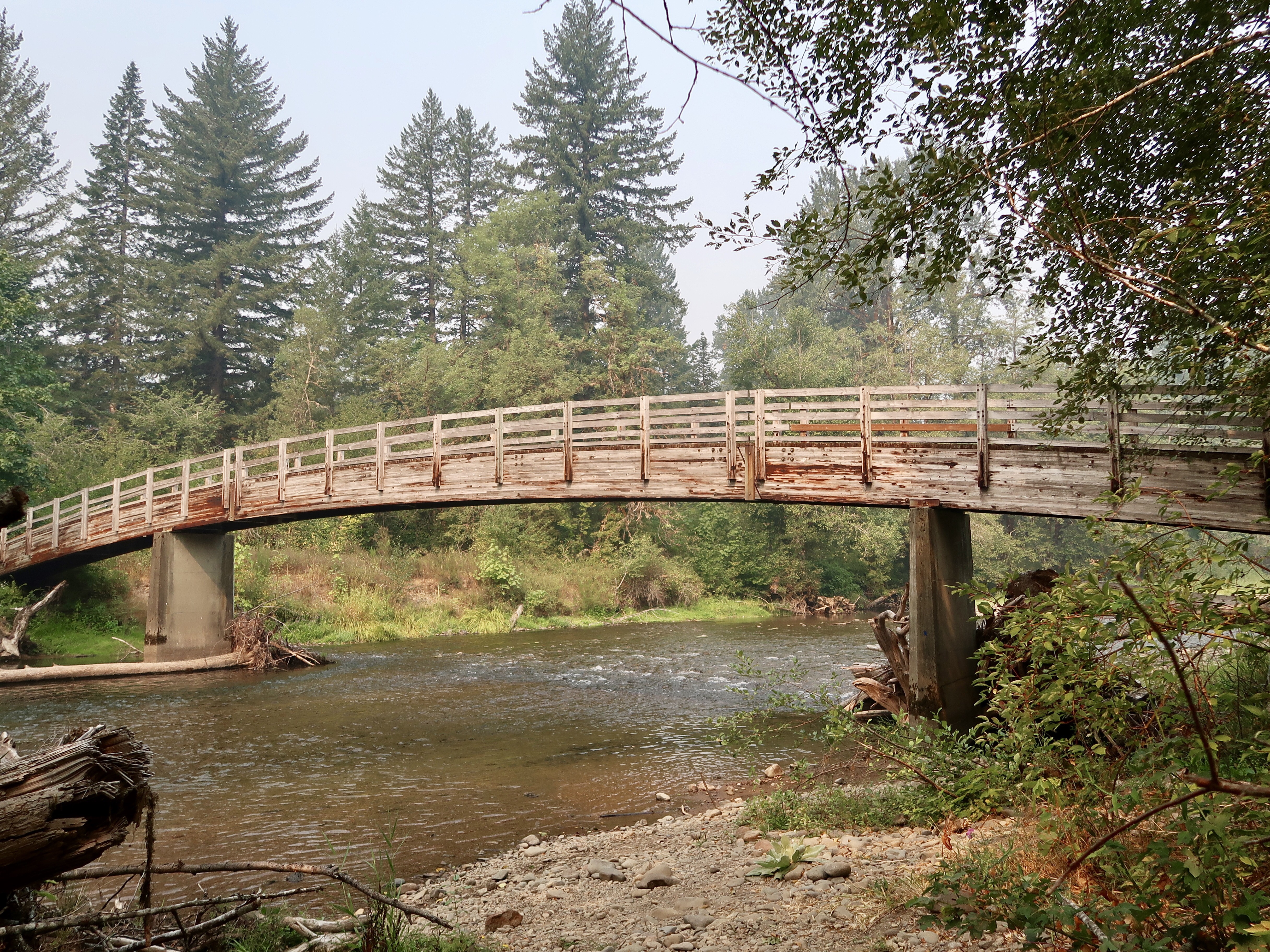
I packed up and followed the trail north as it descended 2000 feet in elevation towards a valley. I hiked through lush green vegetation with ferns and moss, but the colors were strangely muted by the haze. The forest felt strangely quiet and I jumped at every sound. My sense of unease deepened as I hiked and small particles of ash filtered down through the trees.
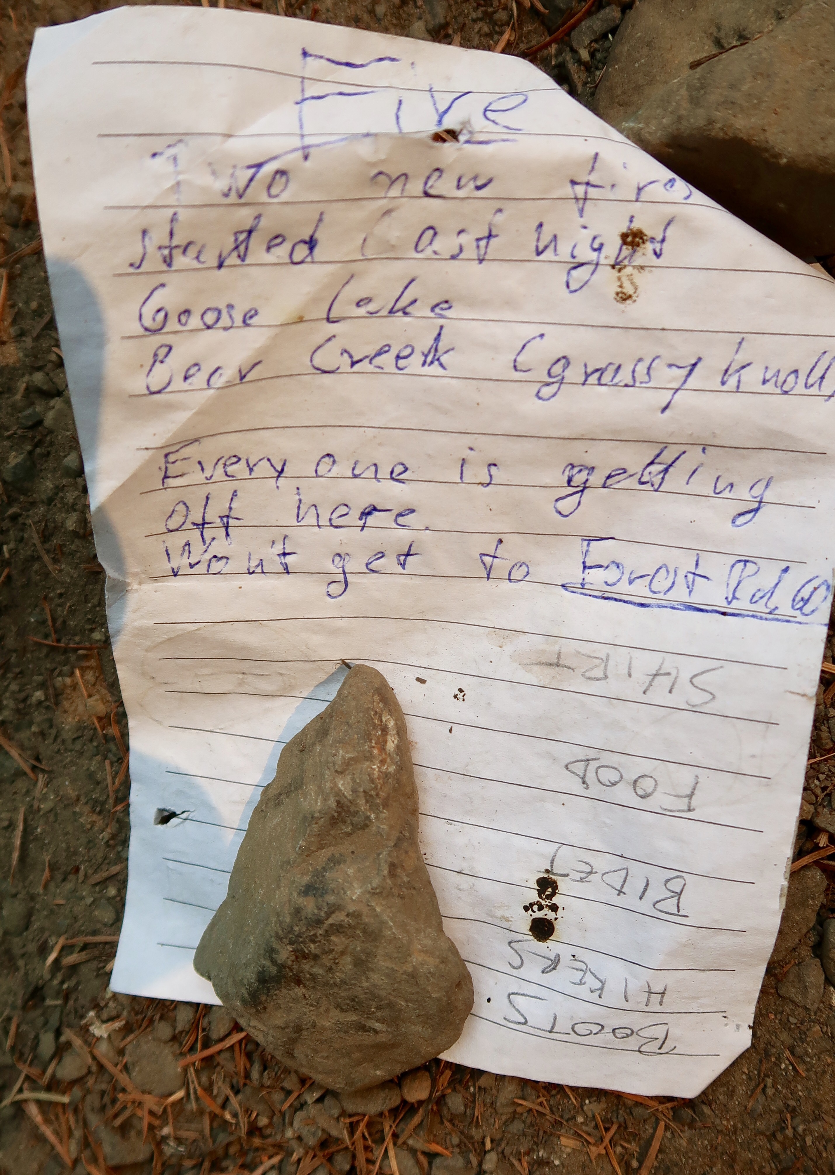
In mid-morning, I passed two different groups of southbound hikers who advised that the East Crater fire in Indian Heaven Wilderness had grown overnight as I had feared. They reported that the southern boundary now extended past Forest Road 60, and they suggested getting off the trail at Wind River road. I checked the map and realized that Wind River Road was only a mile away. This meant that the fire closure essentially doubled in size from 20 miles to 40 miles. Ug.
(Note: I wasn’t able to later confirm the expansion of the East Crater fire closure. The PCTA and Inciweb sites never updated to reflect this information. However, I talked to hikers who heard directly from a ranger that the trail was closed. I’m still confused on this issue, In fact.)
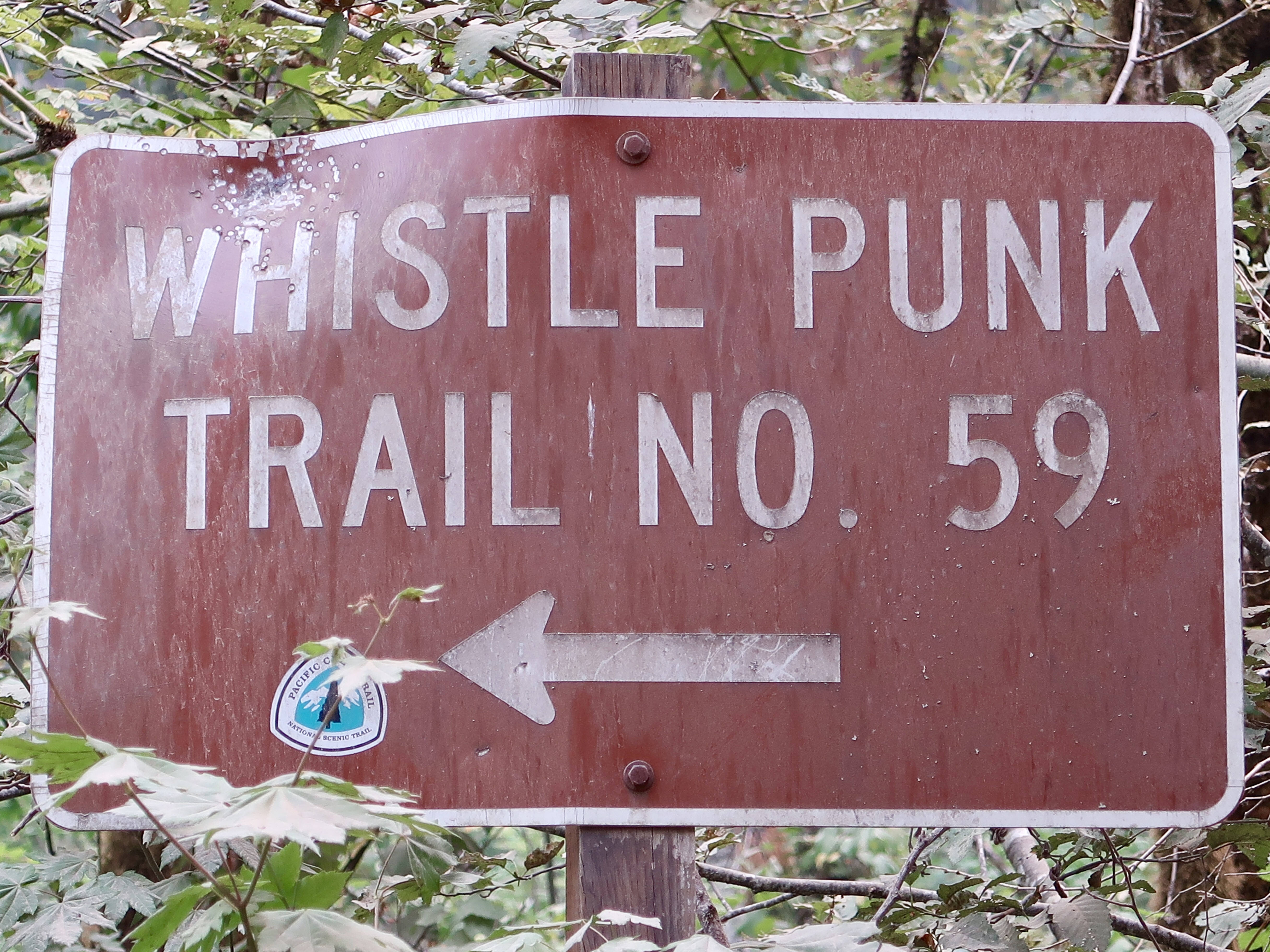
When I arrived at Wind River Road, I stuck out my thumb and waited for about 45 minutes until a car stopped and gave me a ride to Carson. Just as I was getting into the car, Picante emerged from the woods and hopped in the car as well. I was glad to have another hiker in the car with me as I’m not really a fan of hitch hiking.
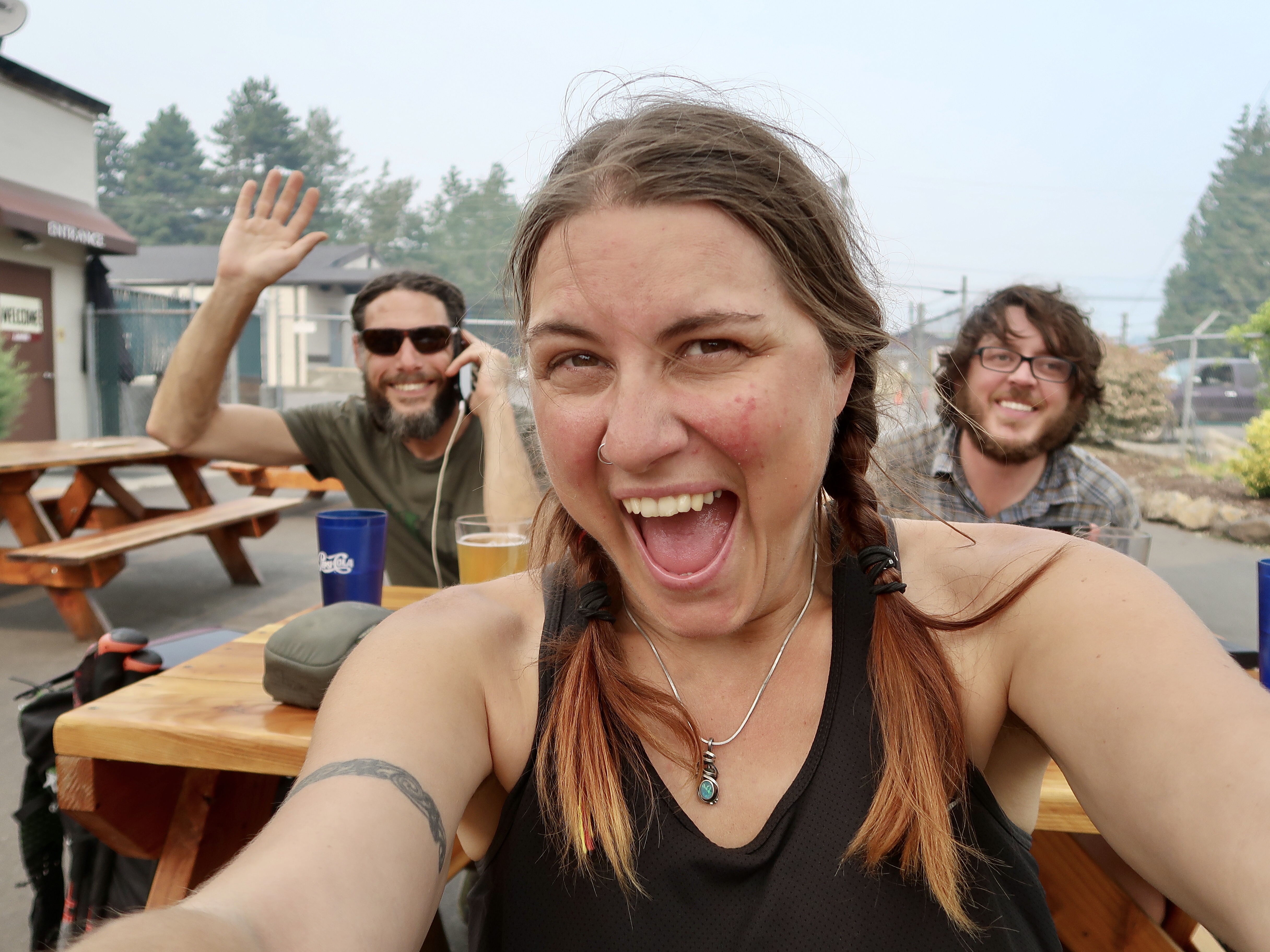
The ride was uneventful and our driver dropped us off at a small brewpub in Carson. We ordered giant salads and sipped beers as we poured over news articles and incident reports from the forest service. The news was not good. The Norse Peak fire near Mt. Rainier has expanded from a 25-mile closure to 75 miles. There were no updates about the East Crater fire closure which I believed to have doubled in size. This meant that over half of the remaining 213 miles to Snoqualmie Pass are now closed. And there is no guarantee that new fires won’t spring up and close the trail at any moment. The air quality is terrible here and is no doubt similarly unhealthy north of the East Crater fire.
This increase in fire activity was the last straw. I decided to pull the plug on hiking the Northwest and come back when the region wasn’t on fire.
The only section of trail that isn’t a raging inferno seems to be the Sierras. I verified there are no trail closures in that section currently. The air quality seems to be pretty good throughout the Sierras, with the exception of Yellowstone National Park which is dealing with multiple forest fires. But that is the only major fire activity – the rest of the section seems relatively smoke-free.
The Sierra mountains have held a special place in my heart ever since I first heard about them. I’ve dreamed for years of visiting John Muir’s famous Range of Light. The Sierras are, in fact, one of the reasons that I chose to hike the PCT in the first place. So I was disappointed when I had to skip the Sierras earlier in the season due to snow, and even more disappointed when it looked like I wouldn’t even get to hike them this season at all. Now it seems as if destiny is leading me to hike the Sierras after all.
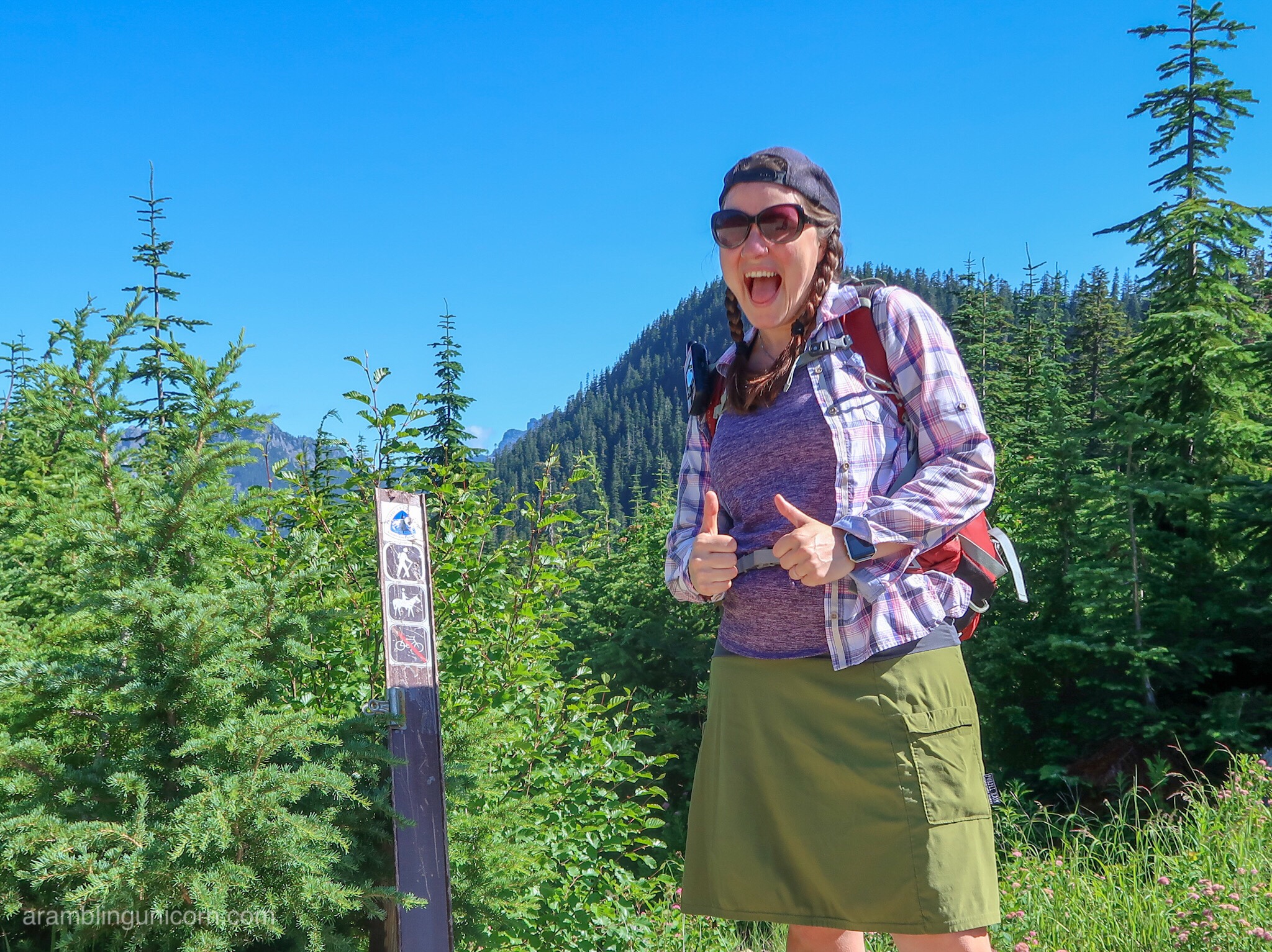
I’ve decided to go for it! I’M GOING TO HIKE THE SIERRAS! Squee!! Which means first I need to go home and sort out some details for the next leg of my hike.
I walked to Highway 14 and stuck out my thumb. A car pulled over and a mother-daughter duo and offered me a ride. They offered to drove me all the way to Vancouver, WA, after a short pit stop at the Red Cross Center in Stevenson. So we drove to Stevenson and I waited at a picnic table while they attended a prayer meeting. Displaced residents wandered around the Red Cross center aimlessly, shell shocked and crying. The smoke was so thick here that it was like trying to walk in pea soup. I felt like I had wandered on the set of a post apocalyptic movie.
Being at the Red Cross Center really drove home for me what a disaster the Eagle Creek Fire is. As a PCT Hiker, I am inconvenienced by fires as it means I have to shuttle around closed sections of trail. It’s an annoyance. But for local residents, the fire is threatening their homes and the lives of their loved ones. It also is destroying a beloved natural space that many people hold sacred. It’s heartbreaking.
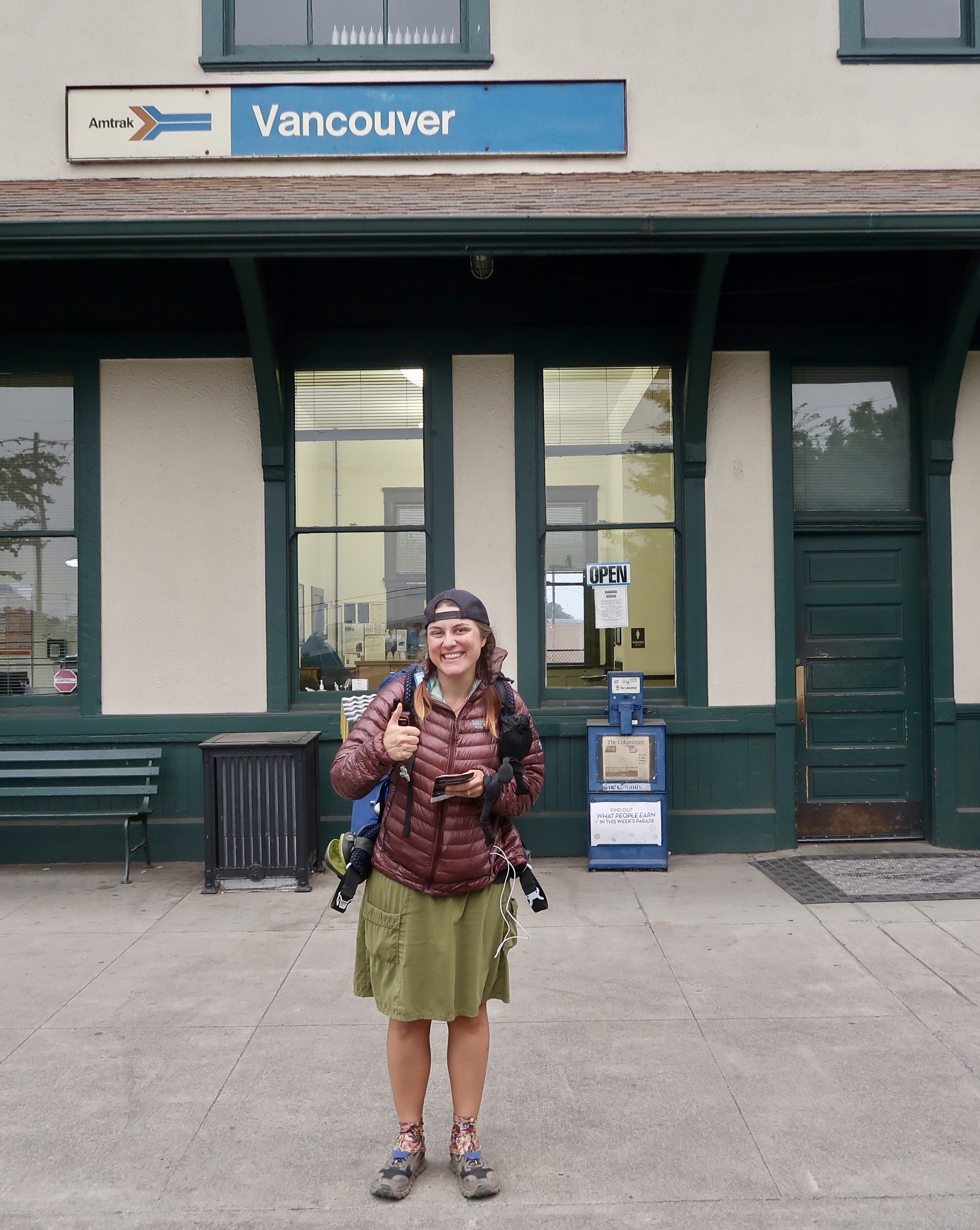
I eventually made it to Vancouver just in time to catch a train to Seattle. I arrived at Seattle’s King Street Station shortly after 10:00 pm and Daniel picked me up and drove us home. It was an odd feeling to be home. When I woke up this morning on the trail, I had no idea that I’d end up here.
I was exhausted and fell asleep quickly in my own bed.
PCT 2017 Stats
PCT Day 145 – Tuesday September 5
Mile 2169.9 to Mile 2177.4
PCT Miles Hiked Today: 7.5
Total PCT Miles Hiked: 1615.6
Feet Ascended Today: 376
Feet Descended Today: 2391
Current Elevation: 1027
Steps: 9091
For more on my experience hiking the Pacific Crest Trail, visit my Pacific Crest Trail 2017 Blog page:



Sorry for the adverse hiking conditions, but SO grateful you got past the hills above Cascade Locks JUST in time! Sure enjoy your blog and am looking fwd to your Sierra adventure. Blessings.
Yellowstone national park?? Maybe you meant Yosemite?
Yep! That’s what I get for writing fast. Someday when I’m done hiking I’ll go back and fix all my damn typos lol