Day 19 – Tuesday May 2
Mile 182.7 to Fuller Ridge Trailhead Campground Mile 190.5
PCT Miles Hiked Today: 7.8
Mt San Jacinto Miles Hiked Today: 5.2
Feet Ascended Today: 3461
Feet Descended Today: 4150
Current Elevation: 7749
Steps: 48896
If I thought yesterday was a hard day, I clearly had no idea what was in store for me today.
We could see Mt. San Jacinto peeking out at us just above our campsite and it didn’t seem like that much further to summit it. We were already camped at over 8000 feet, so what’s a little more elevation we rationed. We decided to go ahead and summit the mountain from the north side.
Sunkist, Halfway and I hiked the 3 miles to the summit trail in the morning and left our backpacks behind some rocks near the trailhead so that we wouldn’t have to carry them up the mountain and back. I put a bottle of water, some snacks and my camera in a stuff sack to bring with me and we were on the trail to the summit by 9:30 am.
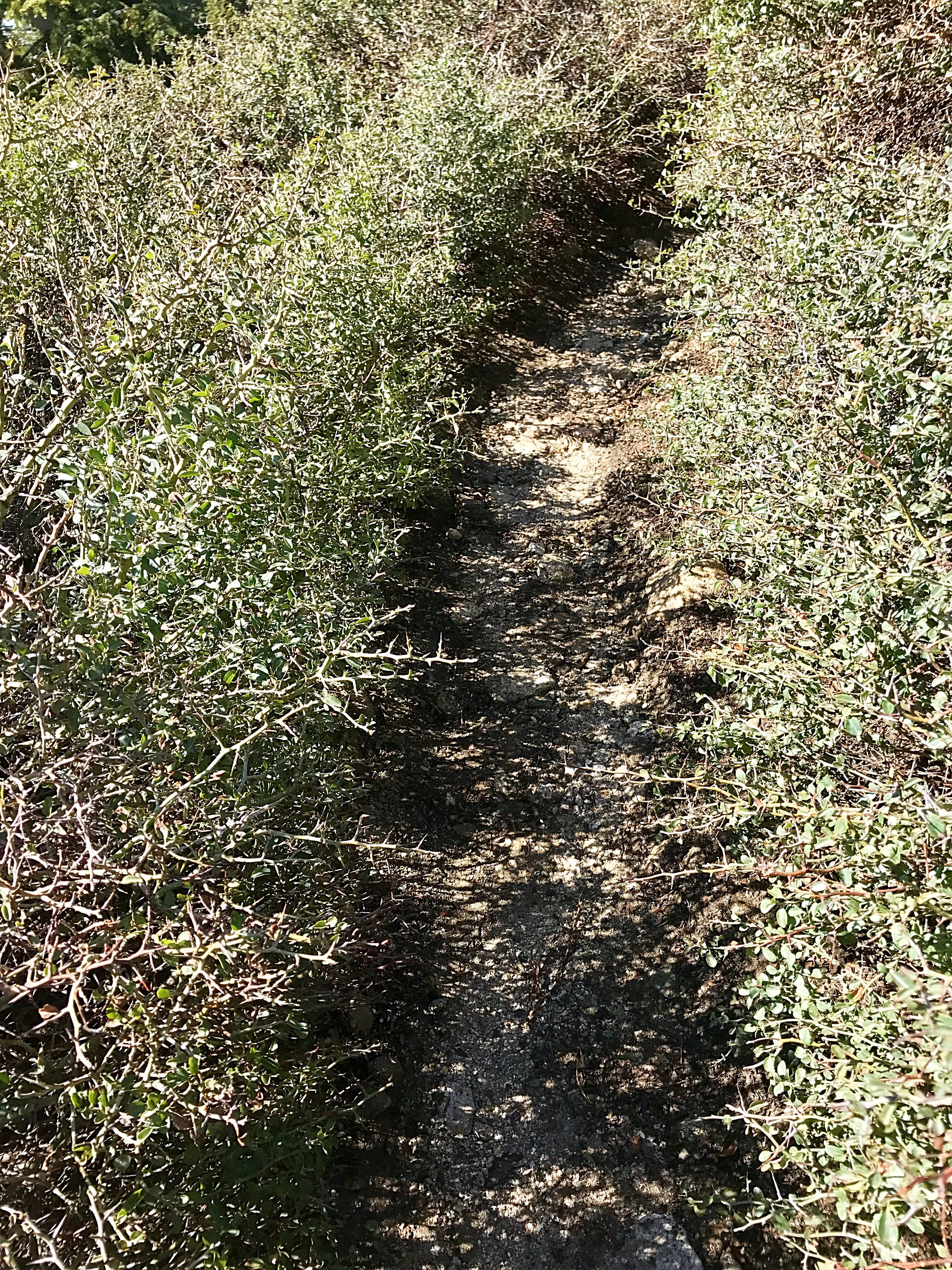
When we started up the trail, overgrown pokey bushes lined the trail and repeatedly scratched our legs as we walked. There was no avoiding them. Halfway joked that it was a sign the trail didn’t want us to hike up it. Maybe we should have listened.
The trail got harder to follow from there. Giant snowdrifts covered the trail and were slippery to cross. I regretted leaving my microspikes in my backpack down below. I also regretted leaving my sunglasses behind as sun reflecting off the snow made it almost impossible to see in some places.
Soon it got harder and harder to find the trail under the snow. We had to repeatedly refer to Guthook’s PCT App to locate the trail using GPS.
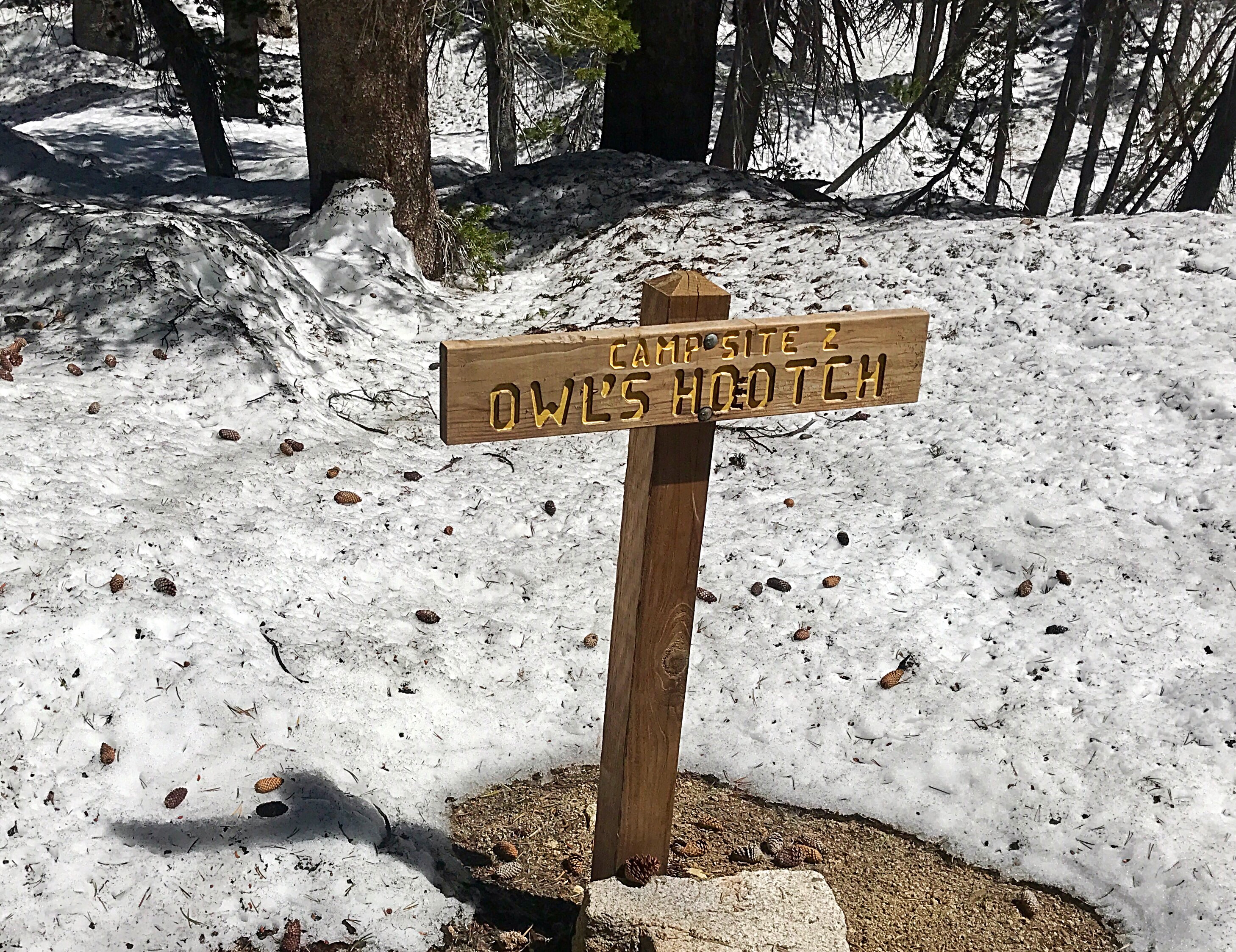
About one mile up the summit trail, we came to a cute little campground under the snow. It looked like a nice place to camp once the snow melted. It even had an outhouse, although the door was blocked by a giant snowdrift.
From the there the trail was almost impossible to find. We eventually gave up trying to follow the trail switchbacks and essentially bushwhacked our way straight up the mountain.
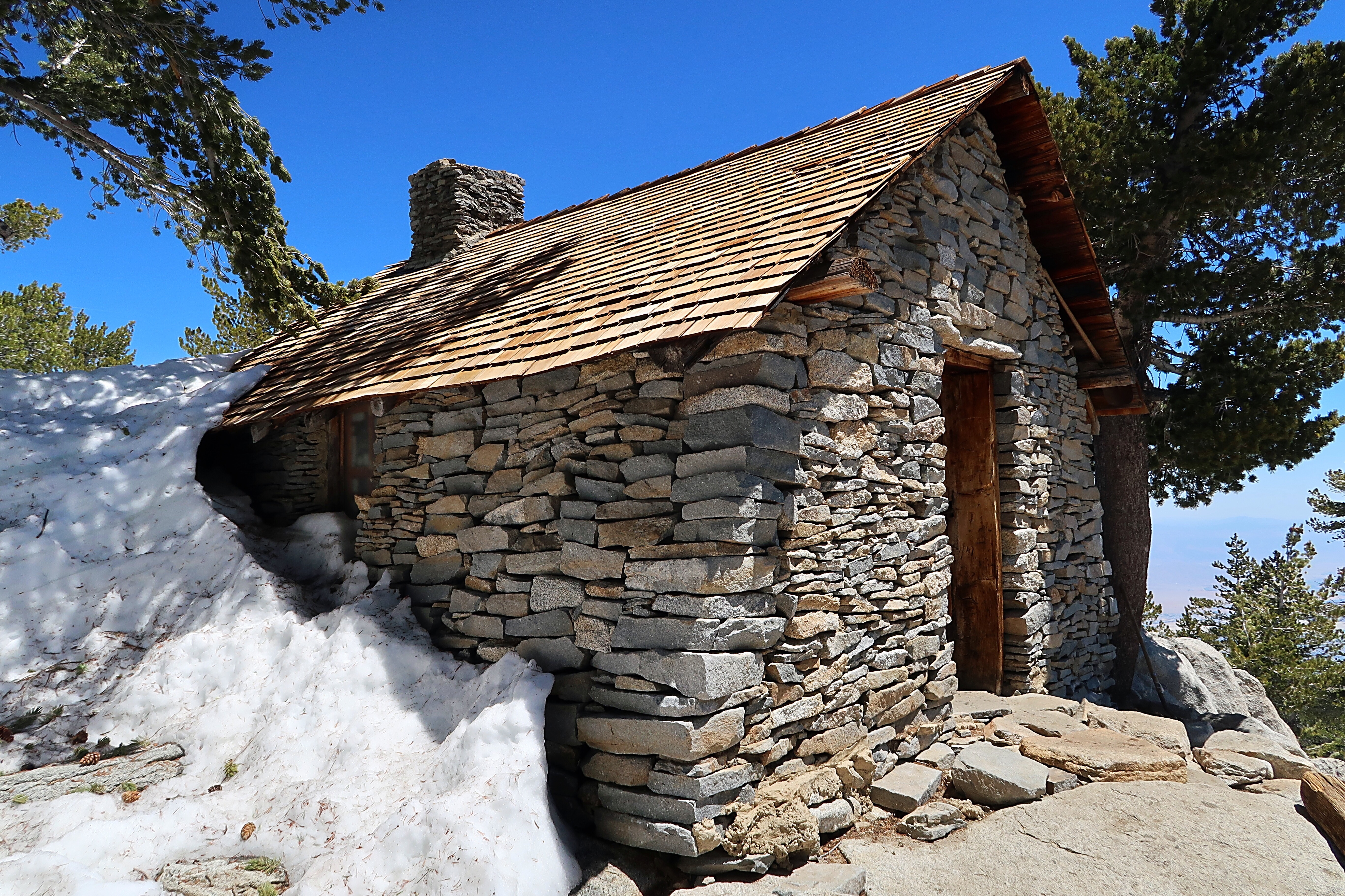
Near the summit, Halfway and I found a cabin with some bunk beds inside. We also found a trail register! I saw that the Slo-Mo Gang had summited earlier today. We must not be that far behind them.
We floundered through the snow up the hill to the summit and found Sunkist waiting for us. We had gotten separated on our way up the hill and were relieved to find her up there. We relaxed in the sun for a few minutes and took in her magnificent views.
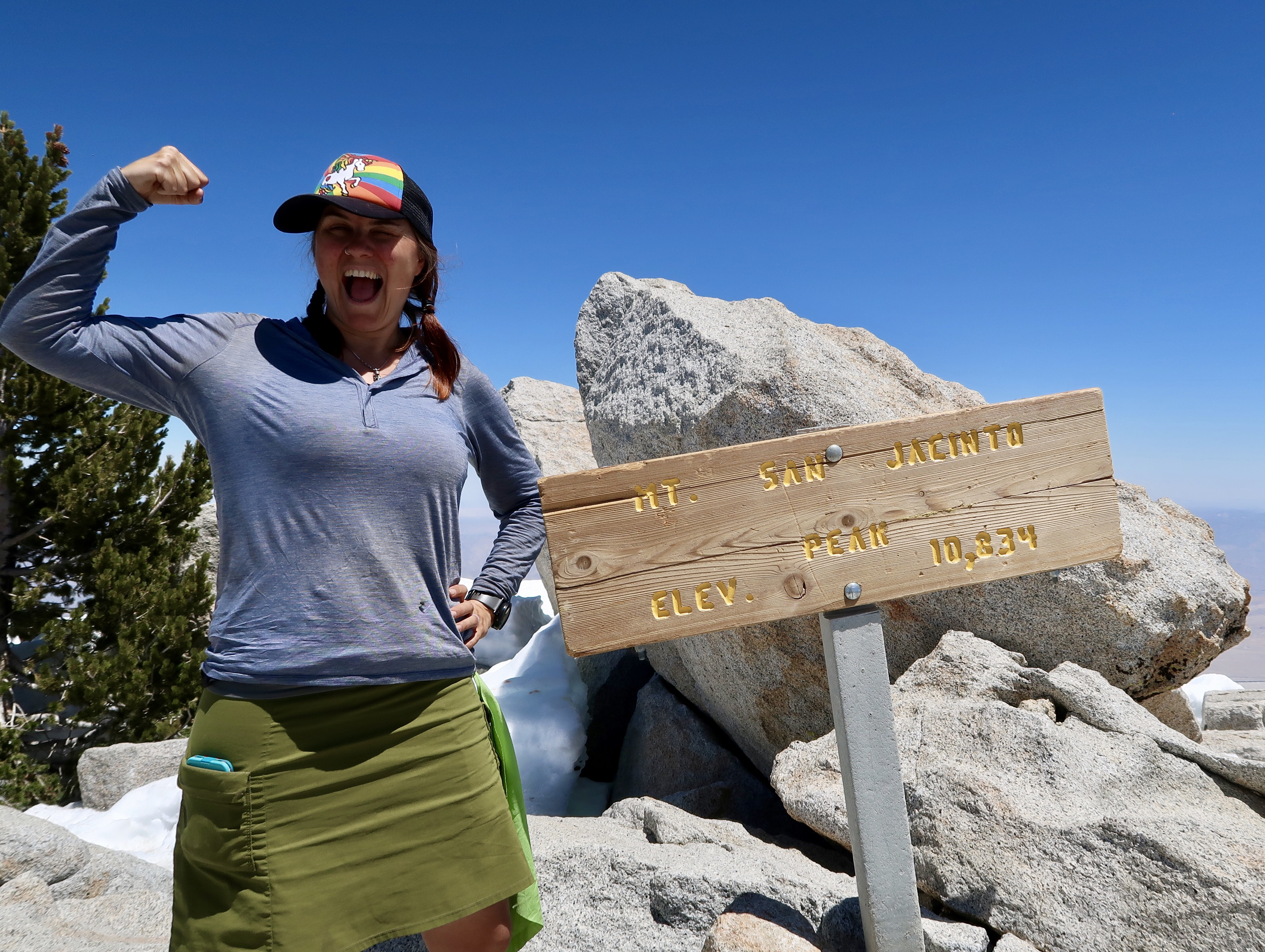
We made it! I’ve never been to such a high elevation in my life – 10,834 feet. I was worried about getting altitude sickness but I felt fine other than being a little out of breath as I huffed and puffed my way up the mountain. It is good training for when we tackle the High Sierras!
On the way back down, Halfway and I got separated from Sunkist again. We tried to find the easiest snow-free way down which was nowhere near the trail. When we eventually got to the trail we waited for Sunkist… and waited and waited. There was no way to know if she was ahead of us or behind us. We worried that she could have slipped on a rock or some snow and we would never know. An enormous BOOM sounded behind us while we waited, which I assumed must have been a tree falling. That made us even more worried.
We were out of water, though, and couldn’t wait for too long. So we continued down the mountain, slipping and sliding on the snow and trying to find the trail. When we eventually made it off the mountain, we found a worried Sunkist waiting for us where we hid our packs. She must have gone a different way down. Whew! We thirstily drank some water and ate a belated lunch, and then continued on our way.
By this time it was 4:30 pm, which was much later than we planned to finish our little side trip. We had hoped to cross Fuller Ridge and get most of the way off the mountain by nightfall, and that seemed overly ambitious now. We decided to see how far we could get.
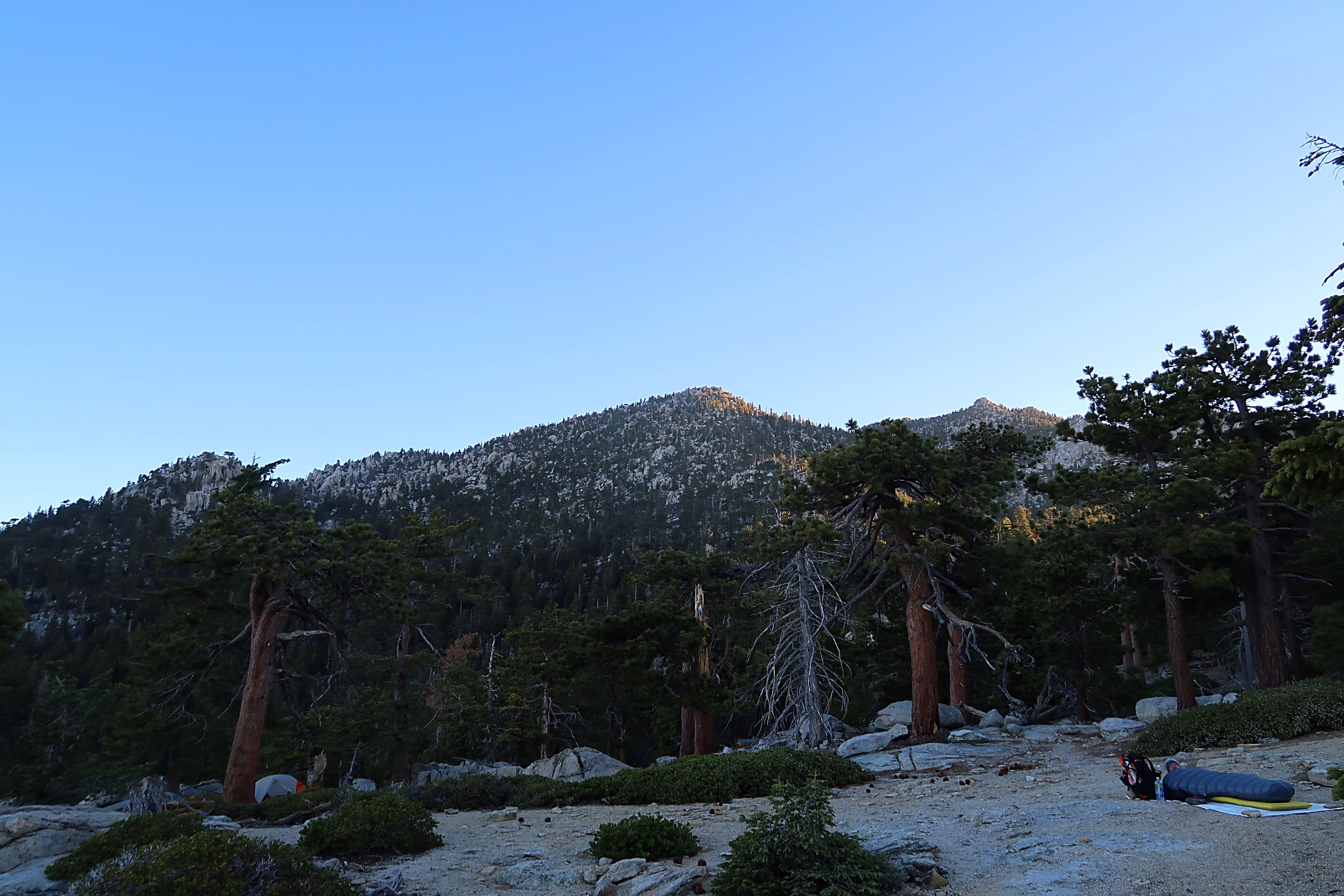
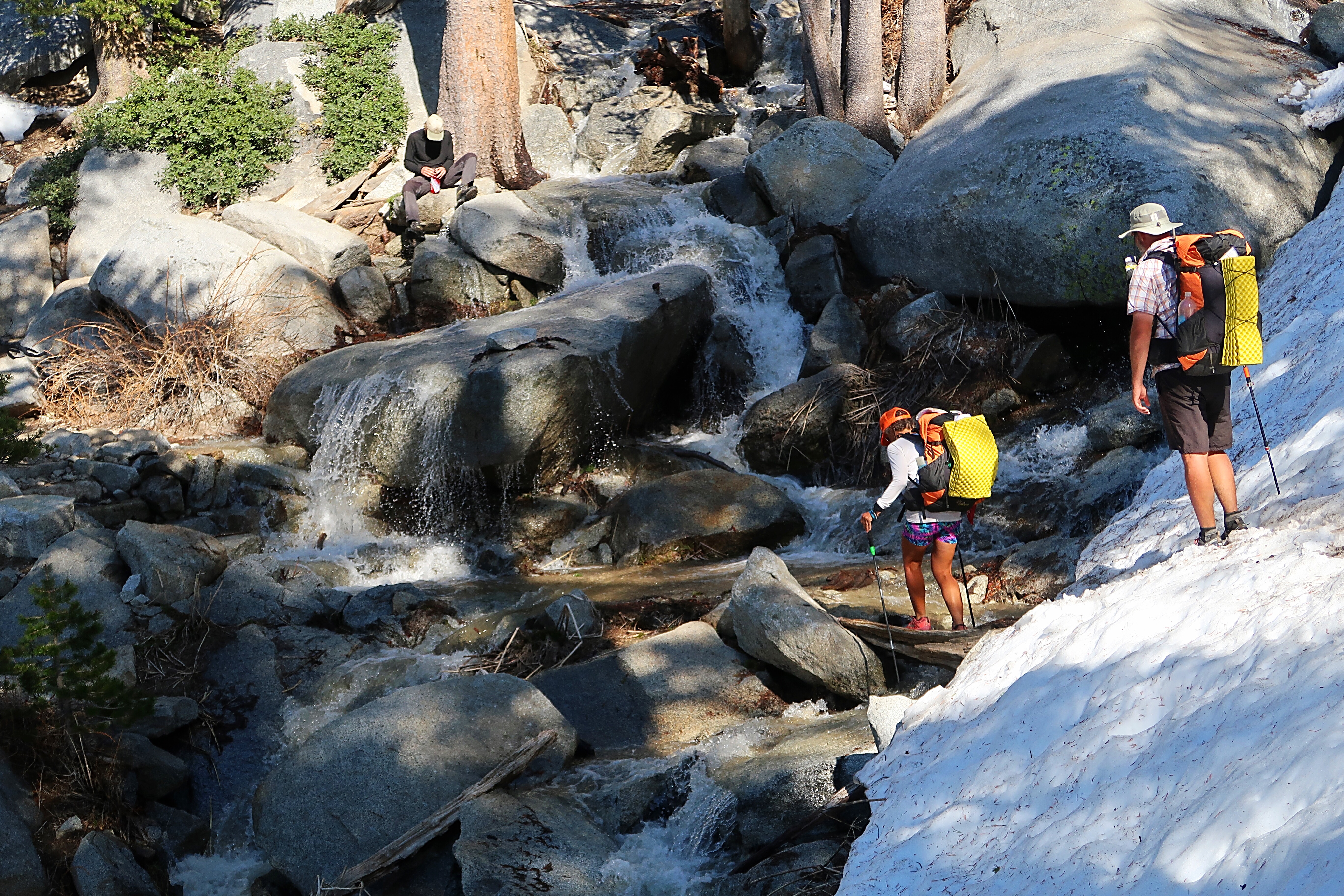
By 6:00 pm, we reached some campsites at the beginning of Fuller Ridge. It was very beautiful and good camping, but we wanted to make some more miles today and the next campsite was only 2.7 miles away. Easy peasy, we thought. From that point the trail led along the north-facing side of the Ridge, which still had quite a bit of snow. Traversing over snowdrifts again was slow going. I slipped and slided and landed on my butt a few times before I remembered that I had my microspikes this time! I put them on and it made a huge difference.
We finally stumbled into the campground around 7:30 pm. Lots of hikers were camped there already, and a trail angel was there too with a campfire and food and beer and music. It was downright civilized! As I was putting up my tent, the Slow-Mo gang came around the corner and all gave me giant hugs. Yay! It was good to see some familiar faces.
I sat down by the campfire and had some roasted hot dogs with tortillas courtesy of our trail angel.




Glad you made through all that snow