Day 8 – Klapatche Park to S. Puyallup River
4.7 Miles
650 Feet Elevation Gain
1950 Feet Elevation Loss
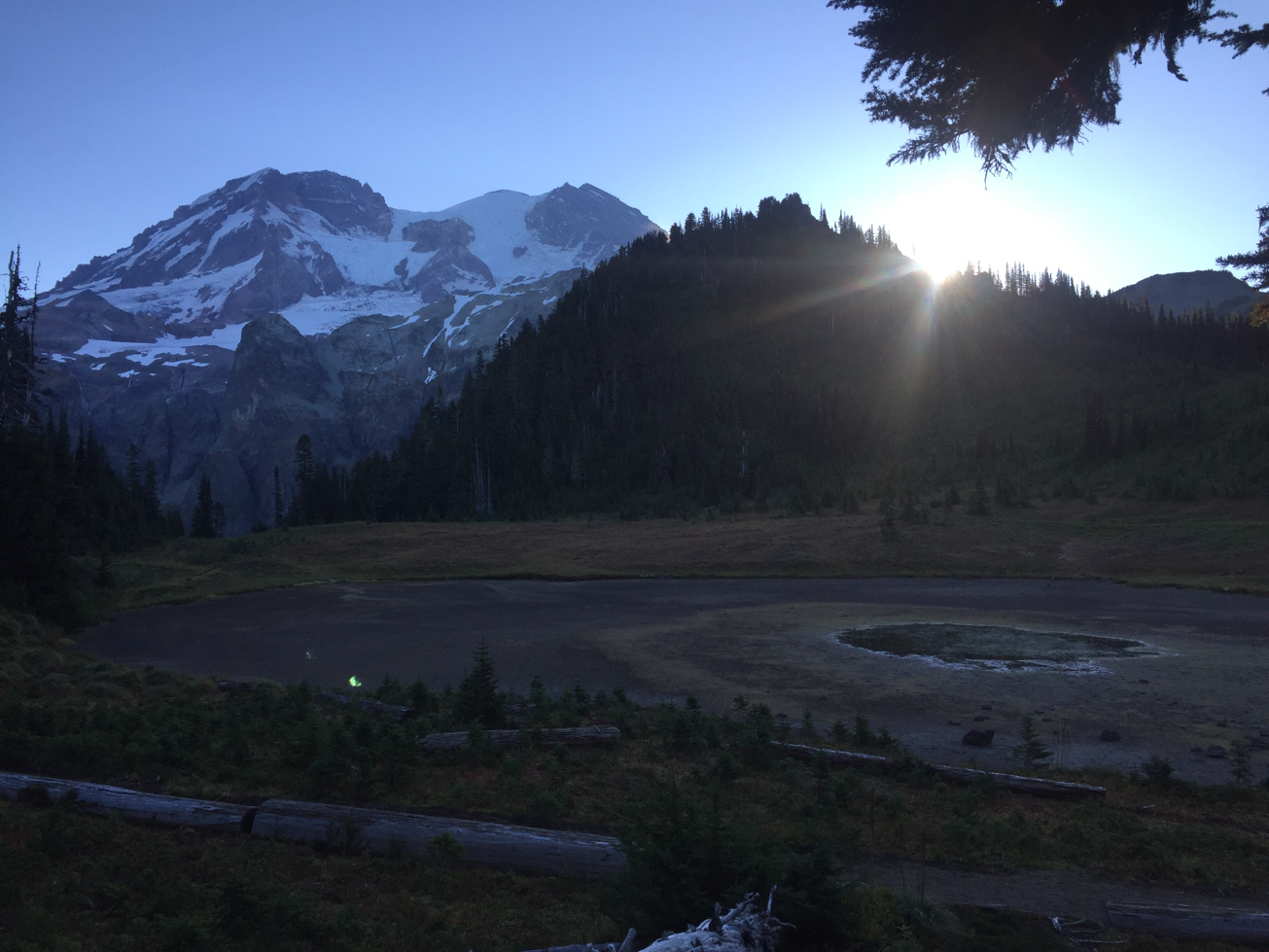
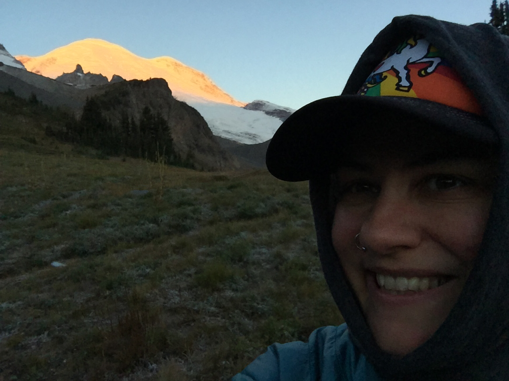
I was in no hurry to break camp this morning as I only had just under 5 miles to hike today. Â So, I took my time enjoying the lovely views up at Klapatche.
Sunrise at Klapatche
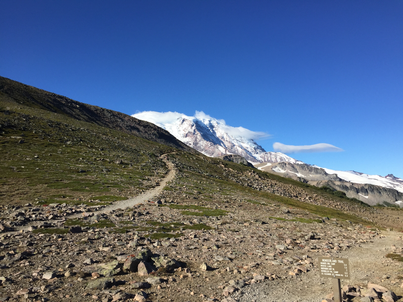
The first couple of miles of my hike traversed the alpine meadows up in St. Andrews Park. Â I spent a few pleasant hours by St. Andrews Lake, meditating and journaling. Â Unlike the previous two days which have been sunny and cloudless, today some interesting clouds ambled across the sky.
Mt. Rainier reflected in St. Andrews LakeÂ
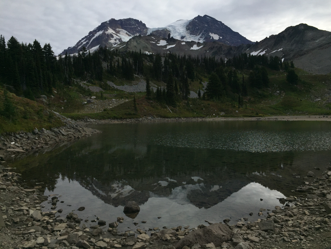
St. Andrews Lake Panorama

After strolling through the park, I then headed downhill towards the S. Puyallup River valley. Â The alpine meadows gave way to trees and forest vegetation as I hiked down the hill.
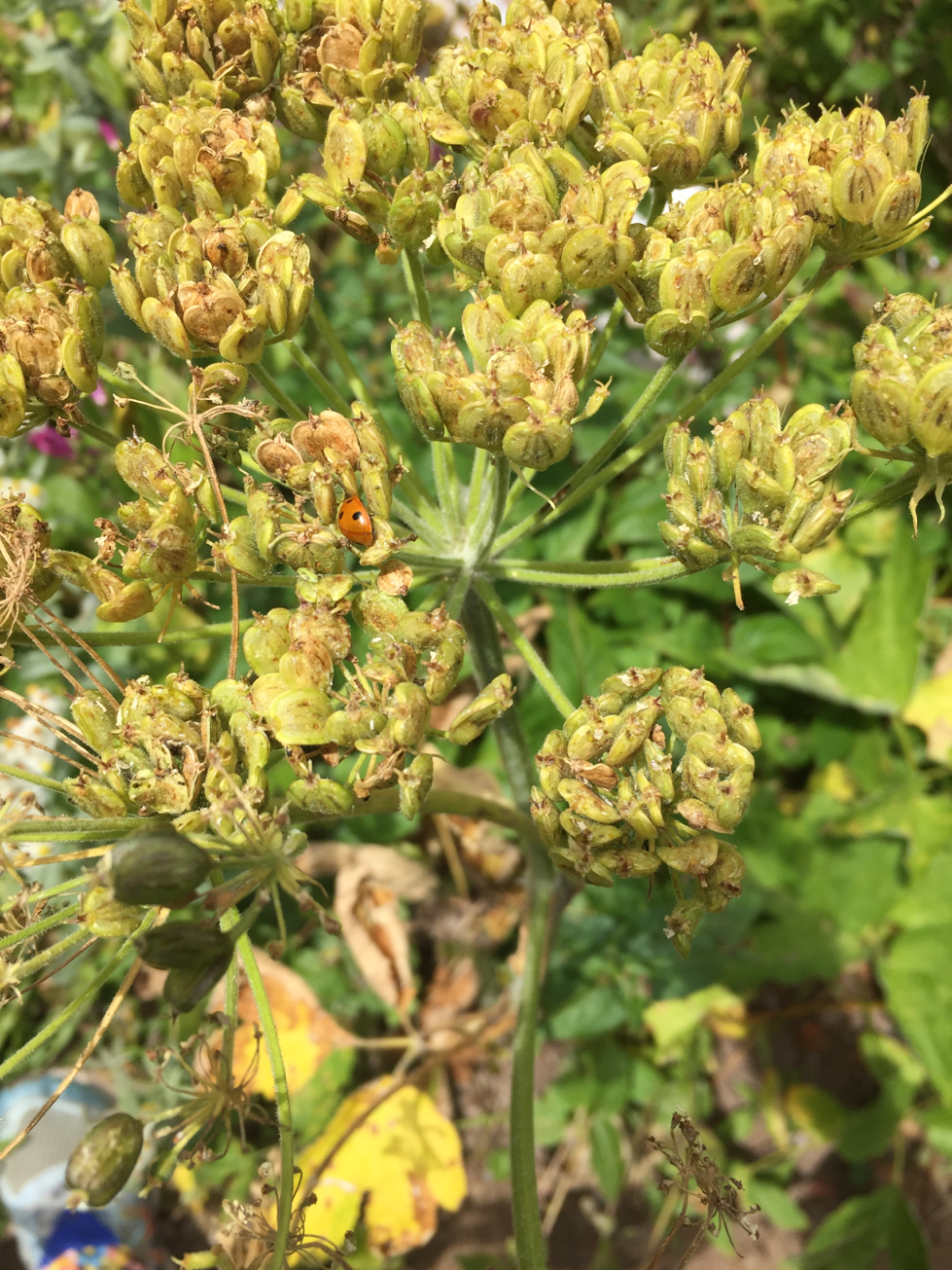
Ladybug
I made it to camp in early afternoon. Â S. Puyallup River camp is located directly across the S. Puyallup River bridge, and is nestled in the woods.
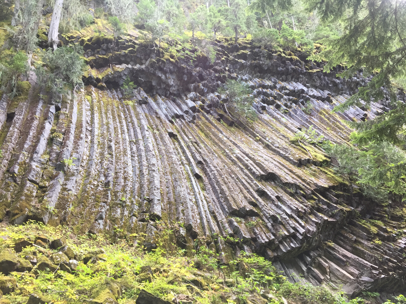
Some interesting rock formations are located directly past the camp, referred to as The Colonnades. Â The Colonnades were formed of andesite during a volcanic eruption several thousands of years ago. Â The rock looked like Play-Doh which had been pressed through a fun factory extruder tool.
The Colonnades
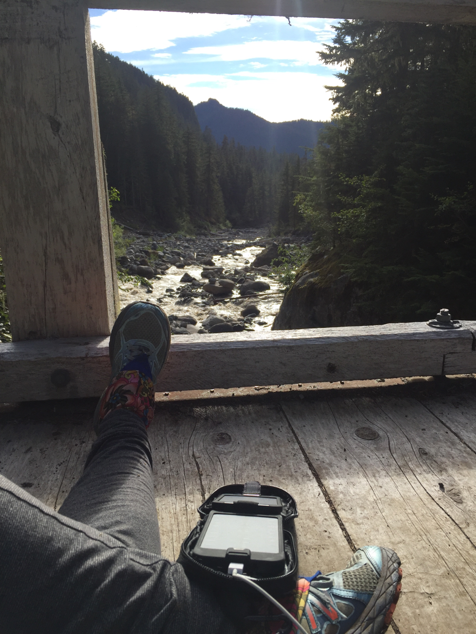
I spent the afternoon soaking up the sun on the S. Puyallup River Bridge.
Rain was in the forecast for the first time during my trip so far, so I spent some time battening down the hatches. Â I’ve been spoiled with the most fabulous weather so far. Â I’m equipped with raingear, gaitors, and an umbrella so I’m ready for the rain!


0 Comments