Day 13 – Indian Bar to Summerland
4.4 Miles
2000 Feet Elevation Gain
1000 Feet Elevation Loss
This morning I was awakened to the sounds of elk bugling. Â Earnest calls that increased in pitch and then descended again. Â Frost crunched beneath my feet and my breath hovered in the air in front of me. Â My thermometer read 35 degrees.
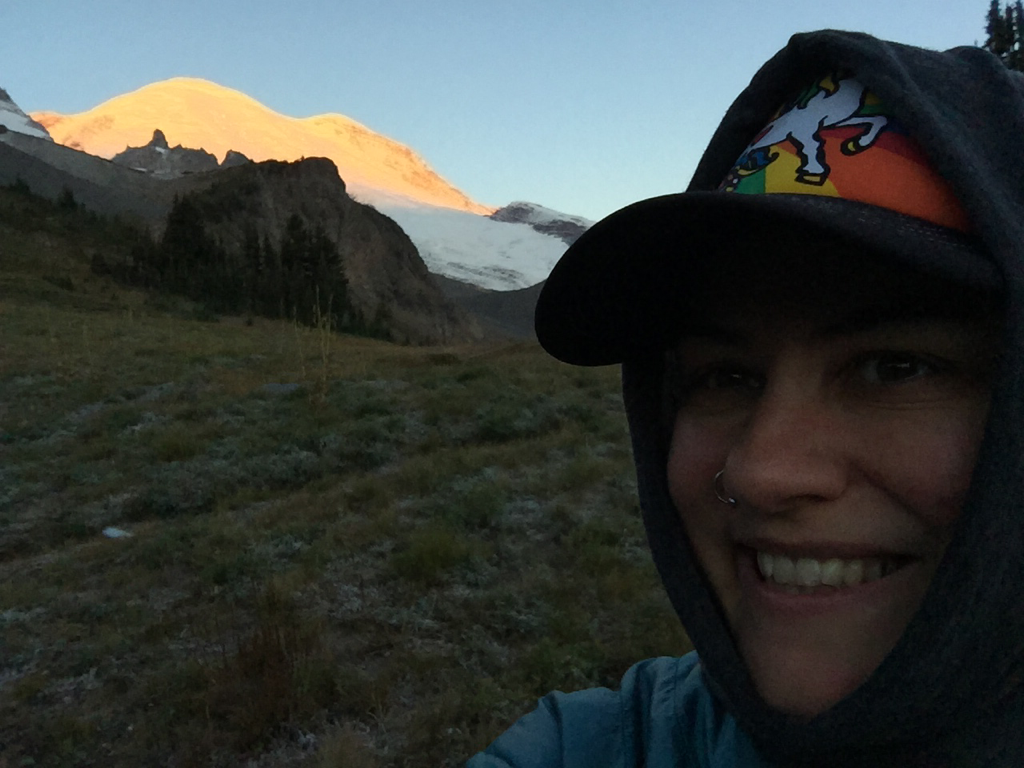
Sunrise over the Cascade mountains to the east shone strands of warmth as early as 7:00 am. Â Now that I’m on the east side of the mountain again, the sunrises are once more a spectacular event. Â Even the morning constitutional is an occasion for inspiration.
The Indian Bar Commode at Sunrise
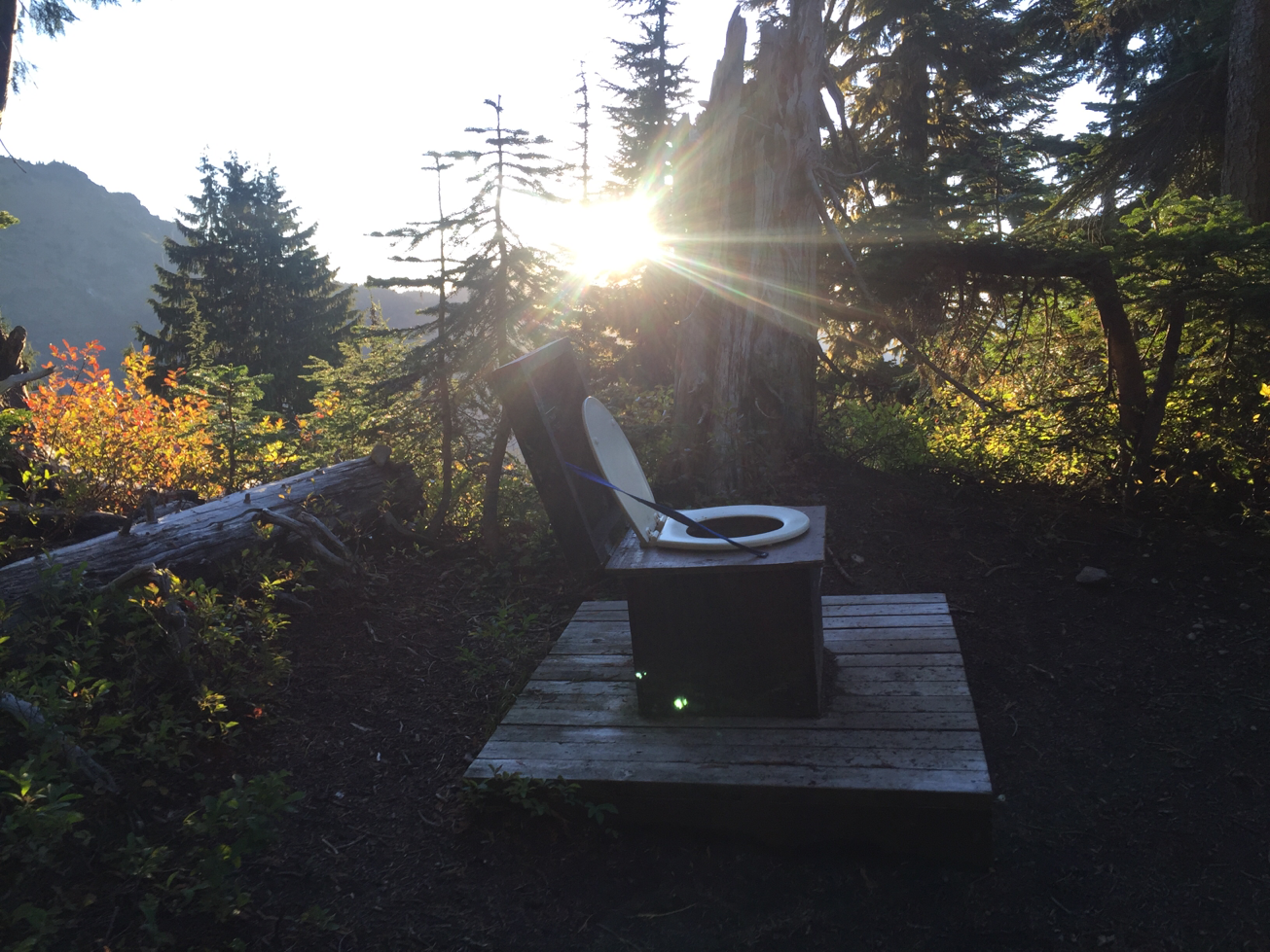
I packed up camp slowly today. Â I had only less than 5 miles to hike, and Indian Bar is one of the most beautiful places that I’ve ever seen. Â Having almost hiked all the way around Mt. Rainier, that’s saying something. Â I’m glad I saved this leg of the trip for last.
I hung my wet things to dry in the sun and spent some time relaxing on a rock, meditating and enjoying the morning.
Ohanapecosh River by Indian Bar Camp

Around 10:00 am, I finally hit the trail. Â The climb out of the valley was a steep one, up 1500 feet in elevation in about a mile and a half. Â My own personal stairmaster! Â As I hiked out of Indian Bar, I paused to take in the valley behind me one last time.
Indian Bar Valley
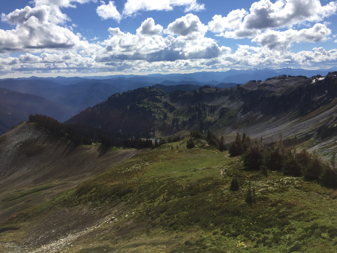
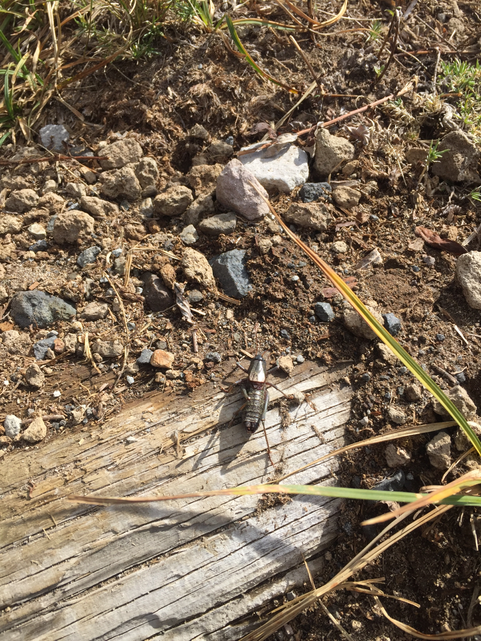
As I hiked, I had to watch my step for grasshoppers that kept flying by on the path in front of me. Â I was lucky enough to get one on camera.
Grasshopper on the Path
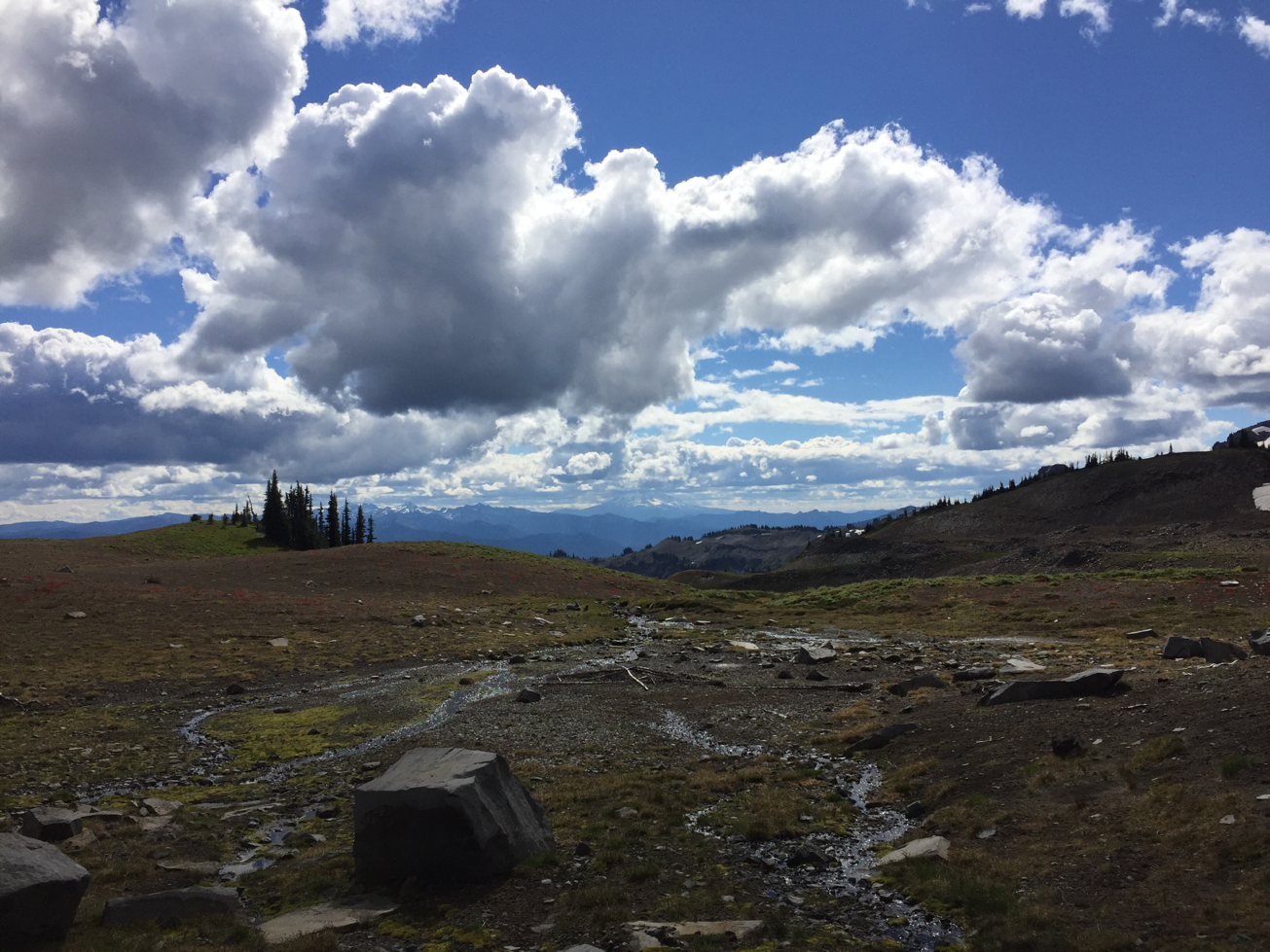
Today I would be hiking over the infamous Panhandle Gap, the highest point on the Wonderland Trail at 6800 Feet. Â My guidebook warned that this could be a dangerous crossing as some years it is mostly covered with snow. Â It was advised to attempt the crossing in mid-day, after the sun gets a chance to thaw the ice a little but before it gets an opportunity to re-form again. Â There was a potential of rain forecast for later afternoon, so I decided to try and cross around noon or 1:00 pm.
After a mile and a half of stair climbing, I entered the Ohanapecosh Park. Â Wow! Â Although I couldn’t see the dome of Mt. Rainier from this vantage point, I could see south to Mt. St. Helens and Mt. Adams. The clouds were amazing today, forming fluffy white puffs across the sky.
View from Ohanapecosh Park
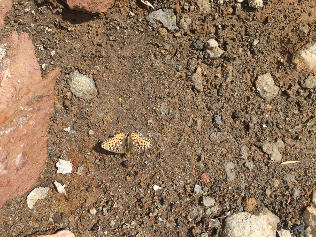
A butterfly landed on the path in front of me as I hiked through the Park. Â I was lucky enough to get a picture of him today too.
Butterfly in Ohanapecosh Park
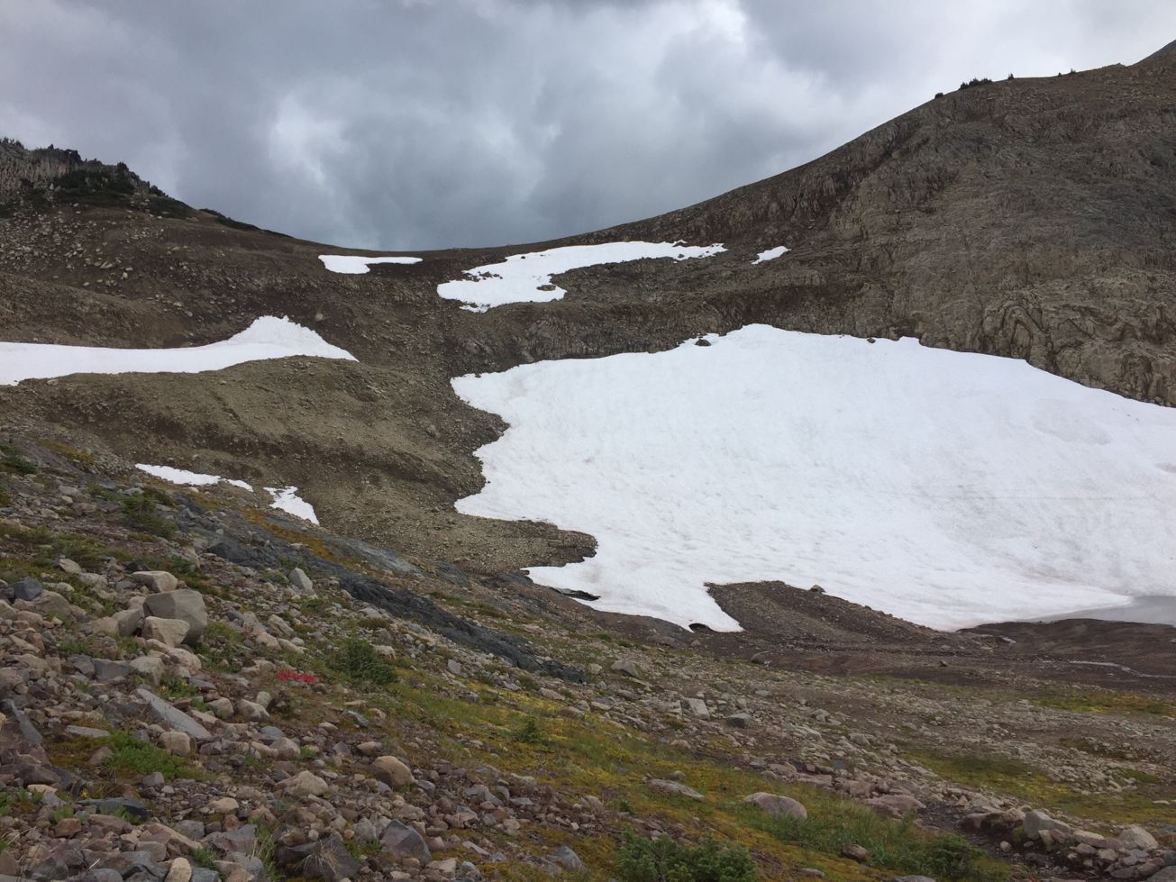
At the end of Ohanapecosh Park, I reached Panhandle Gap. There was no snow on the top, although there were some snow patches here and there. Â A little anticlimactic. I paused for some lunch, and watched the clouds roll in. Â It started to hail a little, so I packed up and headed down the other side.
View from the top of Panhandle Gap

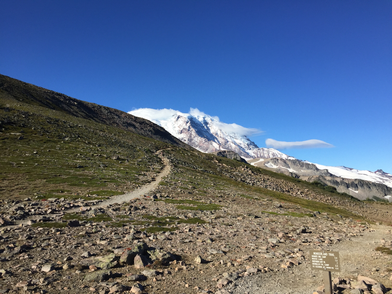
Panhandle Gap, Approaching from the North Side
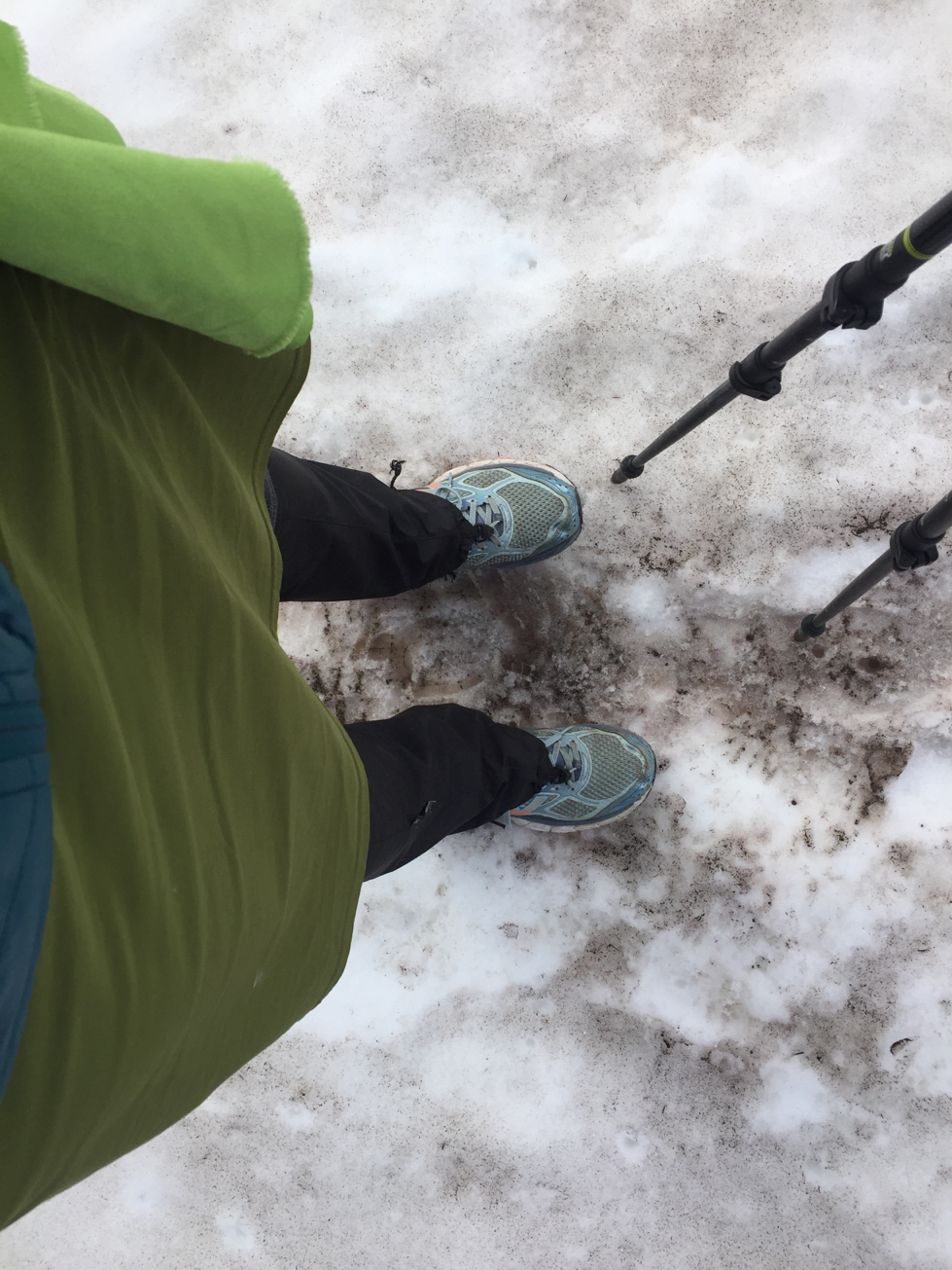
I did get to walk over some snow fields. Â Turns out I didn’t need my light snow gaiters, as the snow was pretty packed. The gaiters did come in handy as I walked through wet meadows though.
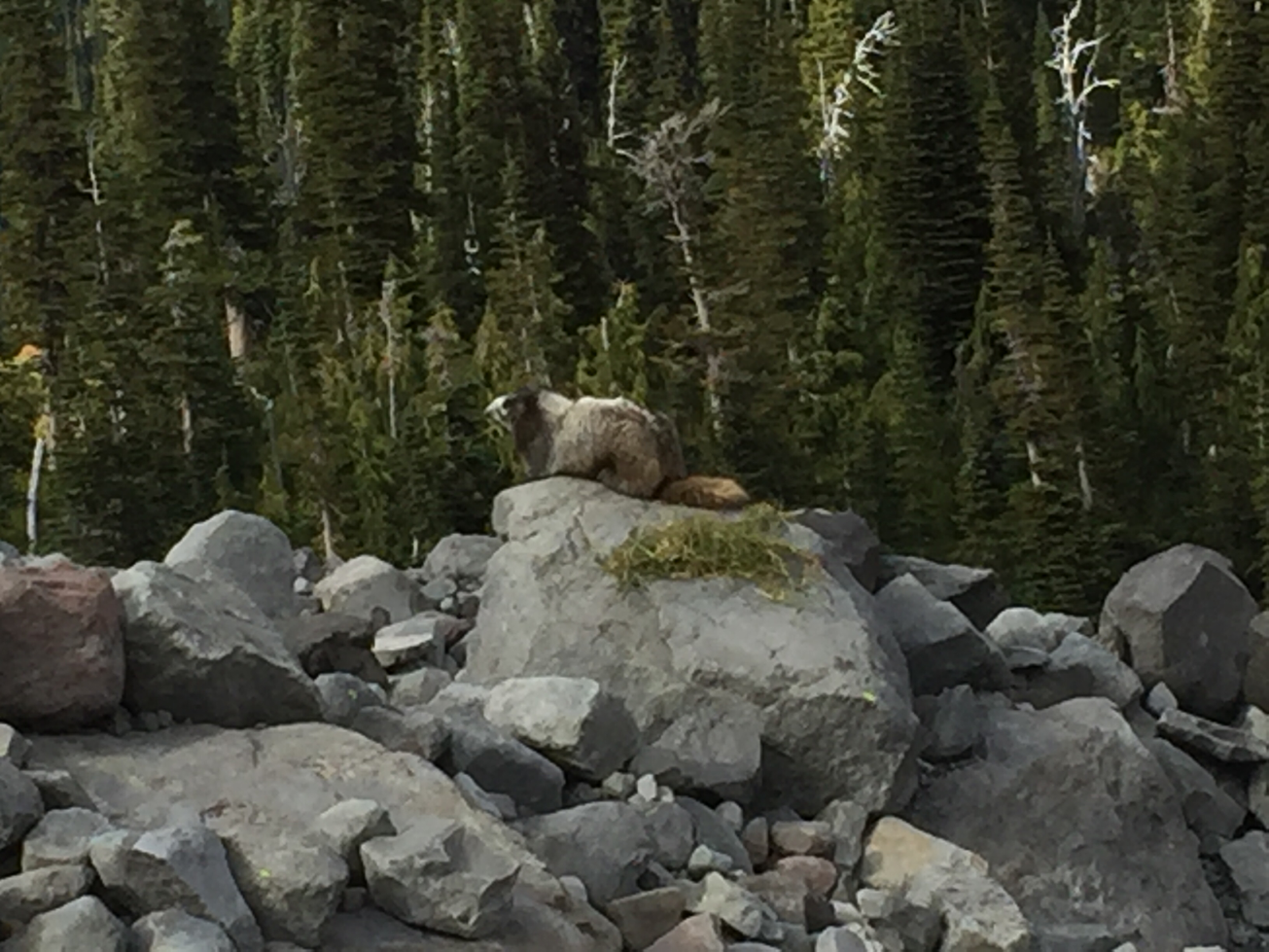
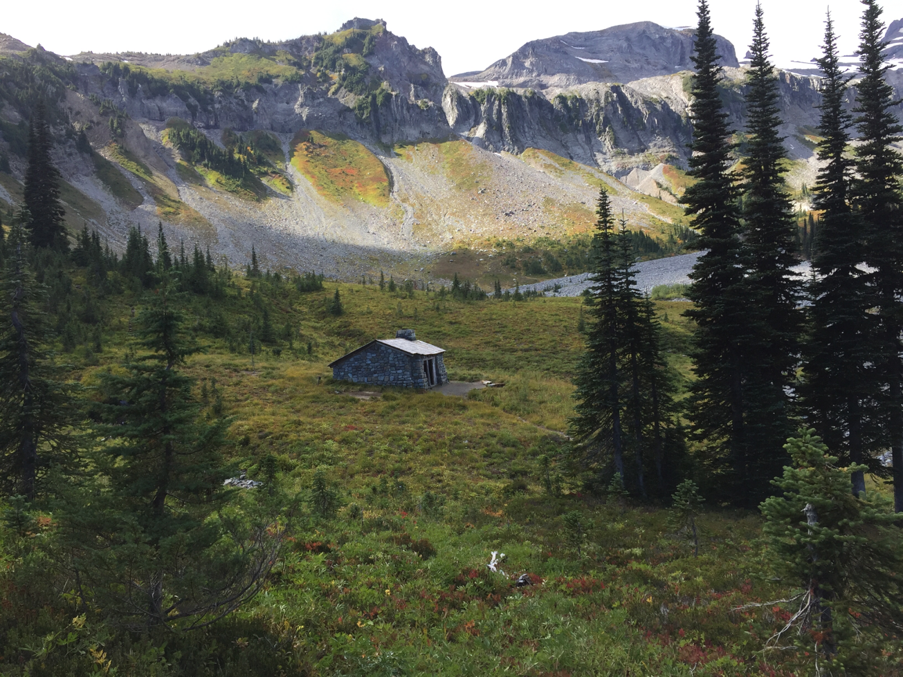
As I headed back down the other side of Panhandle Gap, I could see Summerland beckoning in the valley below. I also finally got to see my first marmot of the trip, and a whole family of goats. Apparently today was my day for optimal wildlife viewing.
Marmot
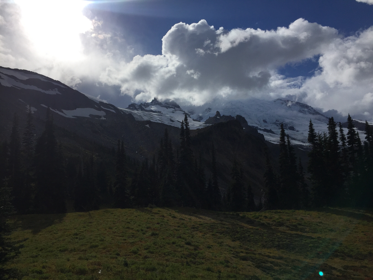
The view of Mt. Rainier from Summerland is supposed to be pretty spectacular. Â Today clouds were obscuring the top of the mountain, but it is still amazingly beautiful.
Clouds Obscuring Mt. Rainier from Summerland
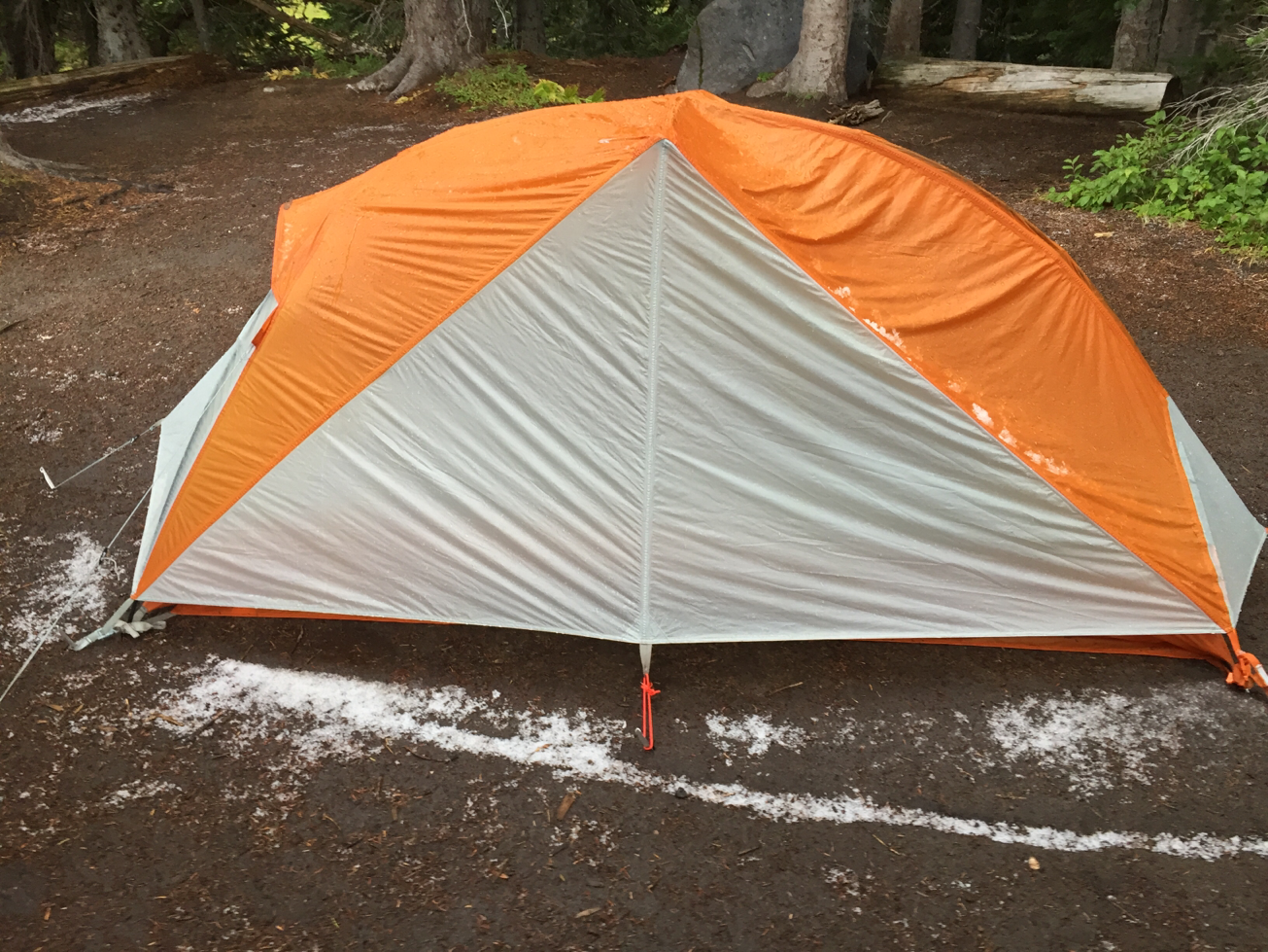
As I set up my tent, the weather finally broke. Â Hail the size of peas poured from the sky and covered the ground in a white blanket. I quickly put up my tent and took refuge inside. Â After the storm passed, the hail melted quickly, but I got a picture of some of the remainders.
After the Hail Storm
It was a cold and damp evening. Â The clouds hung low and a chill hung in the air with poor visibility. Â I decided to call it a night early and climbed into my sleeping bag, shivering.


0 Comments