On January 2, I spent the day exploring the Burke-Gilman trail.  I wanted to start off the new year with a hike, but didn’t have the gear for a snow-covered mountain expedition. So, I decided to explore a stretch of the Burke-Gilman trail that I hadn’t been on before. I brought along Daniel’s Canon M3 camera with me as I’m in the market for a light-weight camera and wanted to try it out.
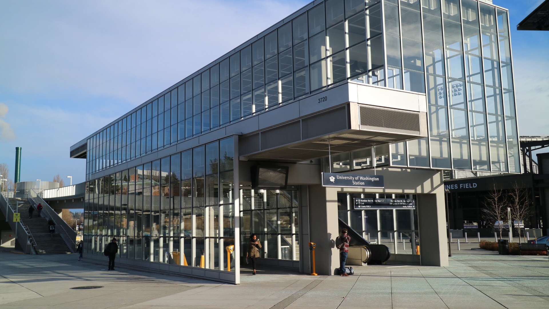
I took the light rail to the new Stadium station in the University District and headed north towards Sand Point.
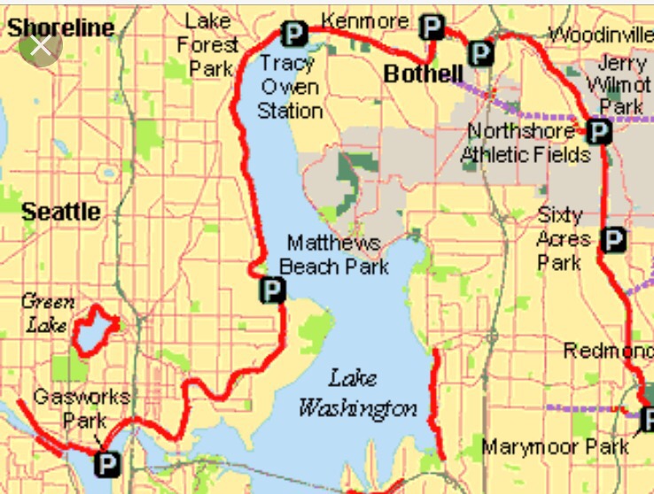
The Burke-Gilman Trail is a 27-mile long hiking and biking path that was converted from an old railroad. Â The trail winds its way in and out of several Seattle neighborhoods, following the Lake Washington Ship Canal and the northwestern shore of Lake Washington.
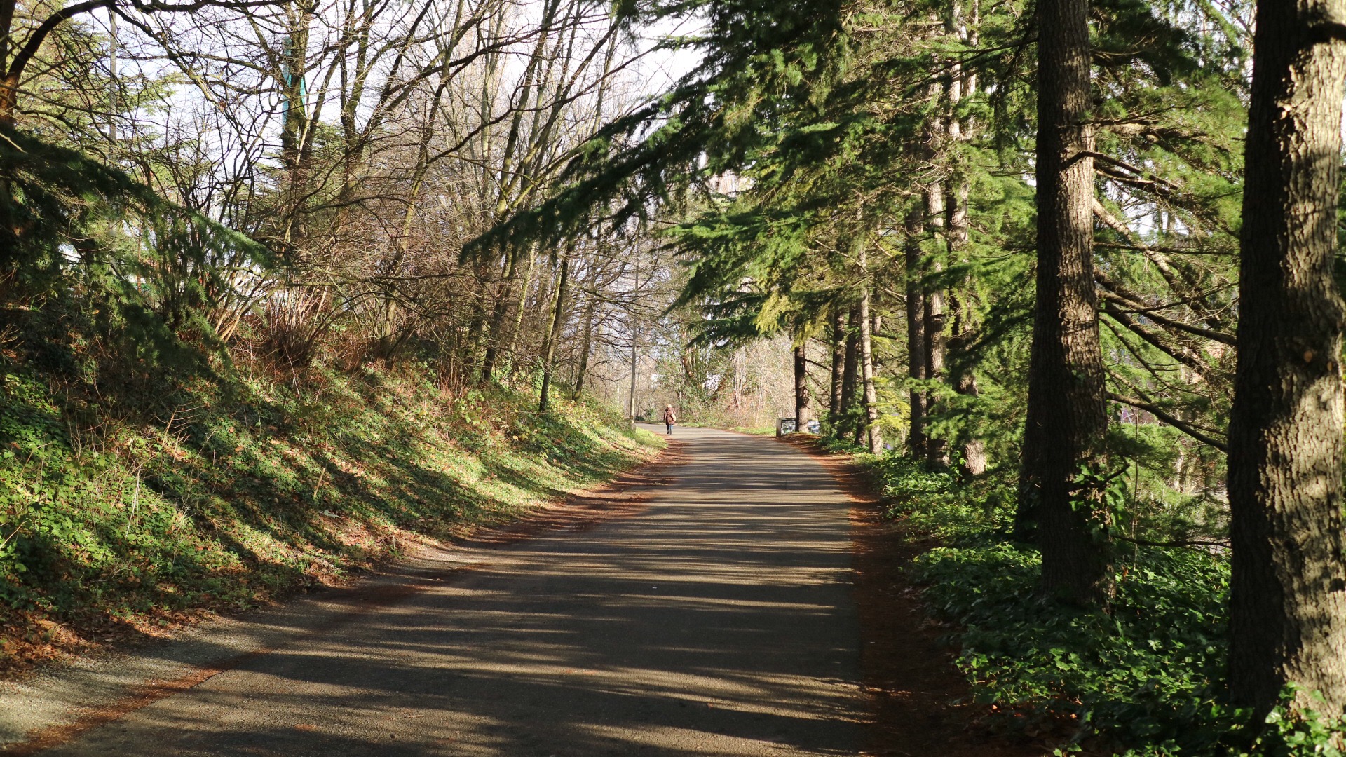
The corridor just north of the UW Stadium Station is a pleasant stretch lined with trees.
Tree-Lined Path
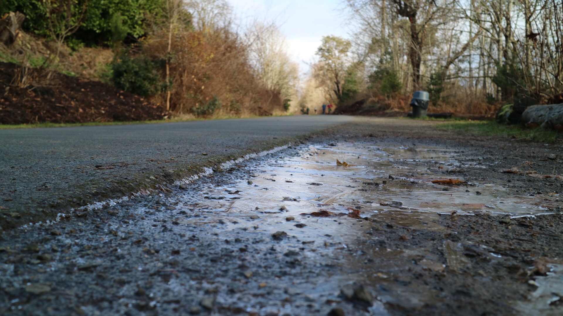
The first couple weeks of January we experienced an unusually long cold snap here in Seattle, so I was dressed for the cold. Â Frost covered the ground and tendrils of ice framed the path.
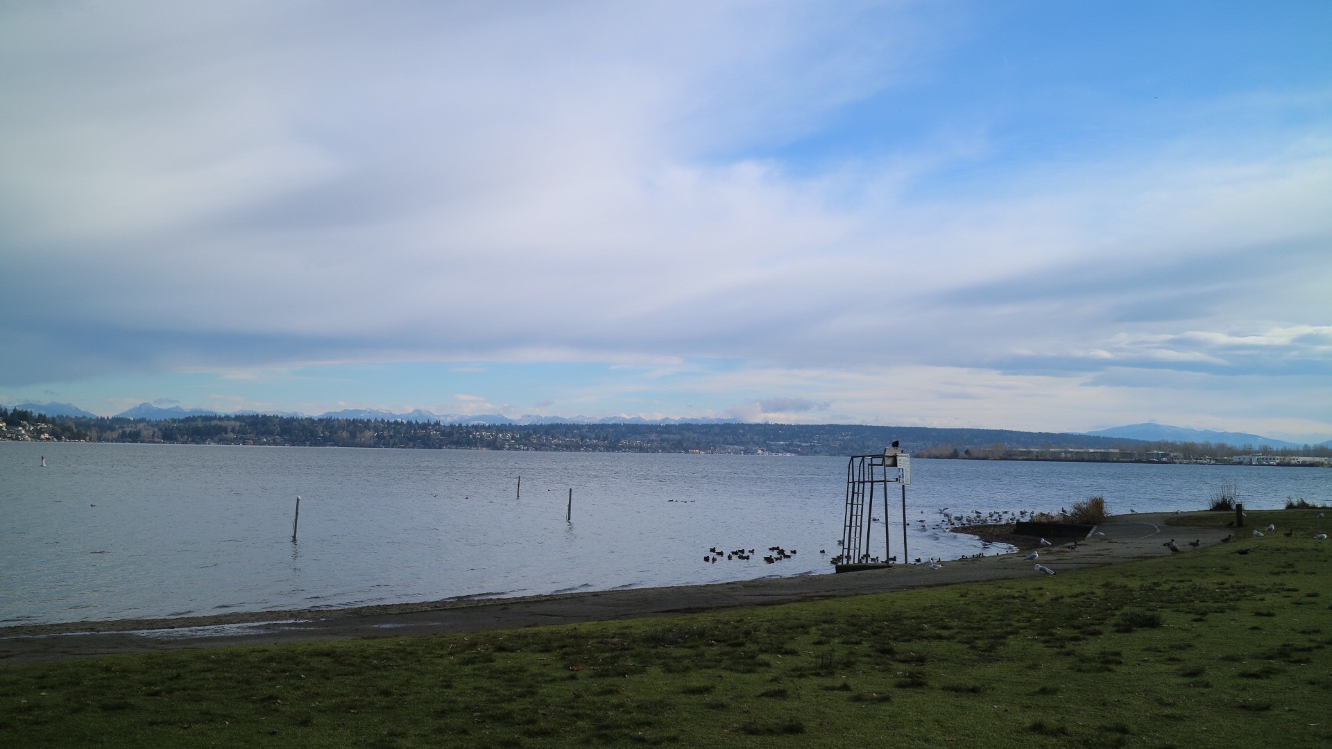
I walked for a few miles to Matthew’s Beach in Sand Point, and stopped for lunch. Â Matthew’s Beach is a nice swimming hole in the summer; in the winter the beach is still a lovely destination. Â Sitting on a bench, I could see across the lake all the way to the Cascade Mountains in the east.
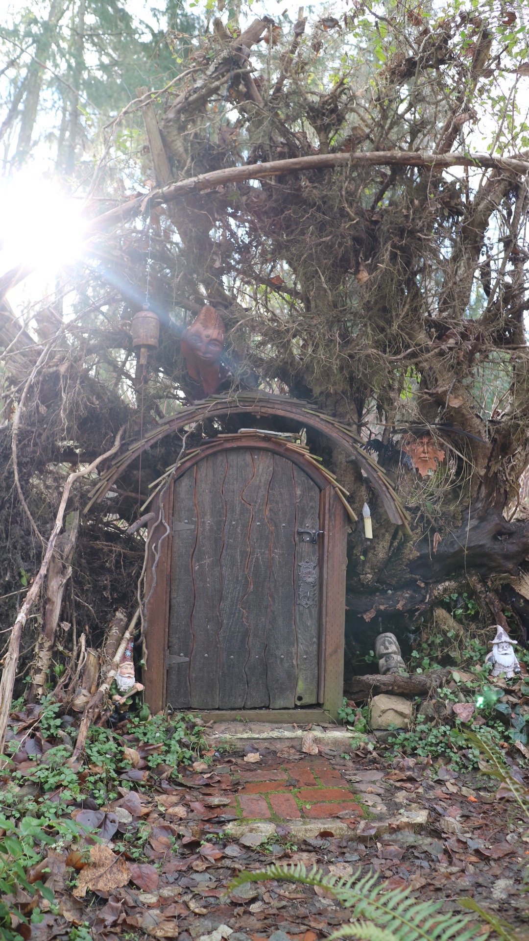
Not far from the beach, I passed a clever little hobbit-sized door fashioned out of the roots of a fallen tree. Â It looked like the entrance to a magical kingdom.
I continued walking to the 0 Mile Marker and then turned around. Â My right foot and hip were feeling sore. Â I had hip surgery in October 2015 and have some lingering issues as a result (and, to compound the issue, I forgot to warm up prior to my walk). Â I intended to walk all the way back to the University Stadium Station, but my foot was throbbing so I decided to bail. Â I called an Uber and was soon on my way home.


0 Comments