The Sugarloaf Mountain Hike is an easy trail nestled in the Anacortes Community Forest. With a roundtrip distance of only 2.5 miles and 890 feet of elevation gain, it’s a great trail for families and children. The second-highest peak on Fidalgo Island, Sugarloaf Mountain also offers fabulous views of the Puget Sound.Â
COVID-19 did a number on me earlier this year and my recovery has been painfully slow. This past month I’ve finally started walking more around the neighborhood, but so far I’ve only been able to manage flat trails. Sugarloaf seemed like a perfect little mountain for me to attempt my first post-COVID hike with measurable elevation gain.
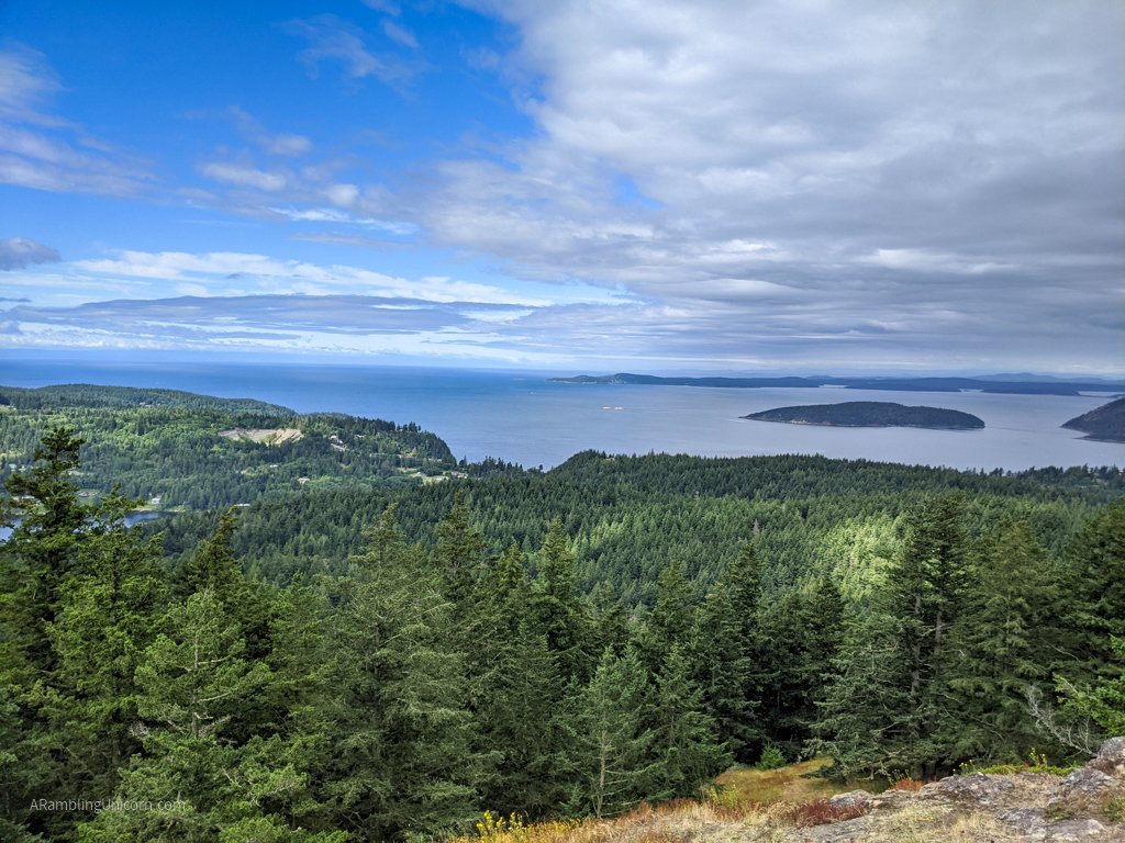
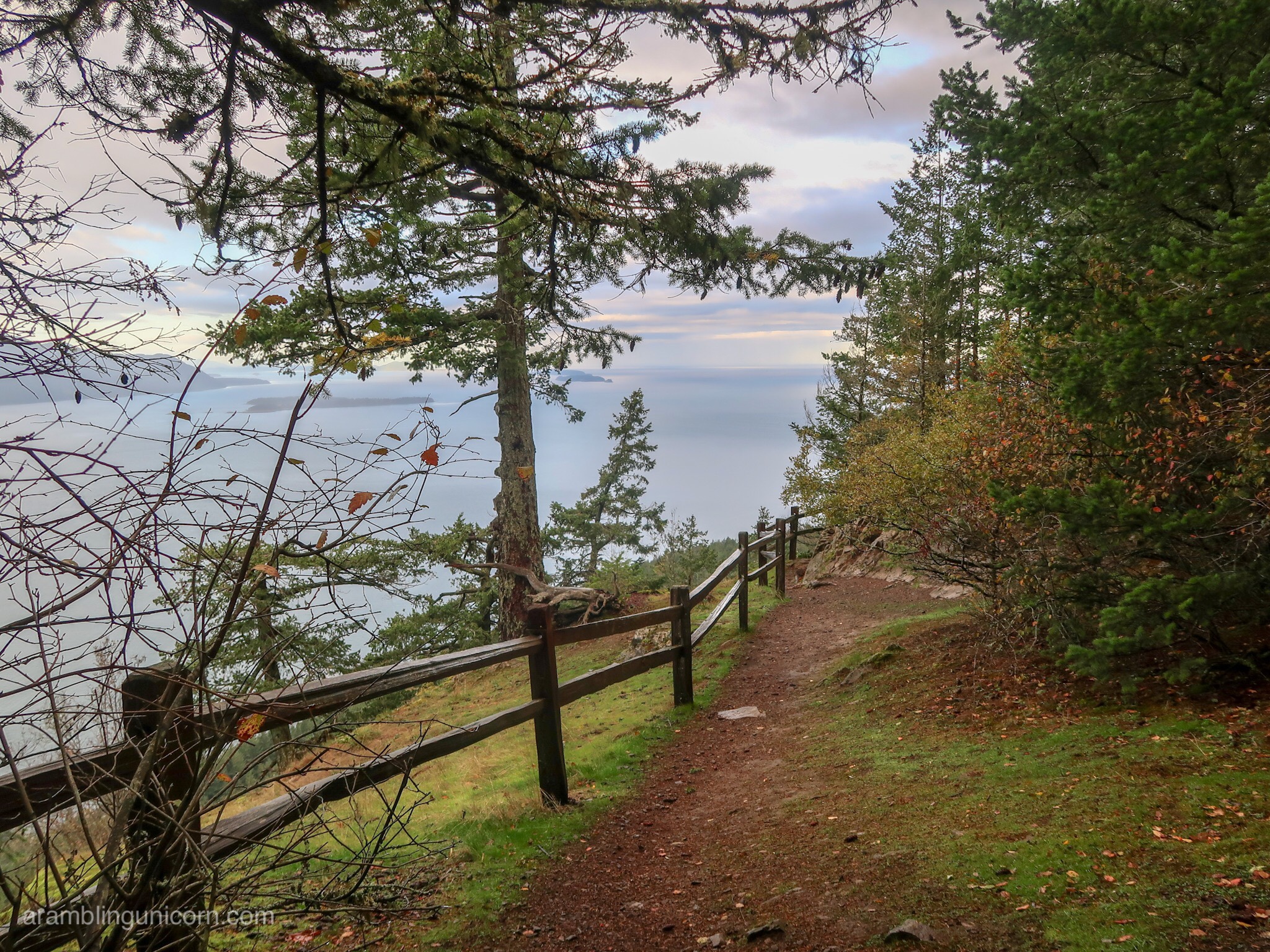
View of the Puget Sound from the top of Sugarloaf Mountain in Anacortes
The Anacortes Community Forest Lands
The Anacortes Community Forest Lands encompass over 2,950 acres of forest, wetlands and lakes in the City of Anacortes. The forest also includes trails for Sugarloaf Mountain and nearby Mount Erie – both of which can be combined together for a more challenging trek. A road is also available to the top of Mount Erie for those unable to walk to the top (although note that the road to Mount Erie is currently only open on weekdays).
Before arriving, I’d read about the importance of bringing a map so I was prepared. There is no single obvious trail to the top of Sugarloaf from the trailhead. The Anacortes Community Forest Lands include a network of trails to choose from – which is great because you can design your own route. However, it can also be a little confusing if you don’t know where you’re going. I downloaded a Sugarloaf Mountain and Mount Erie Loop map to my phone before I left – which was a good thing as I had limited cell reception after I arrived.
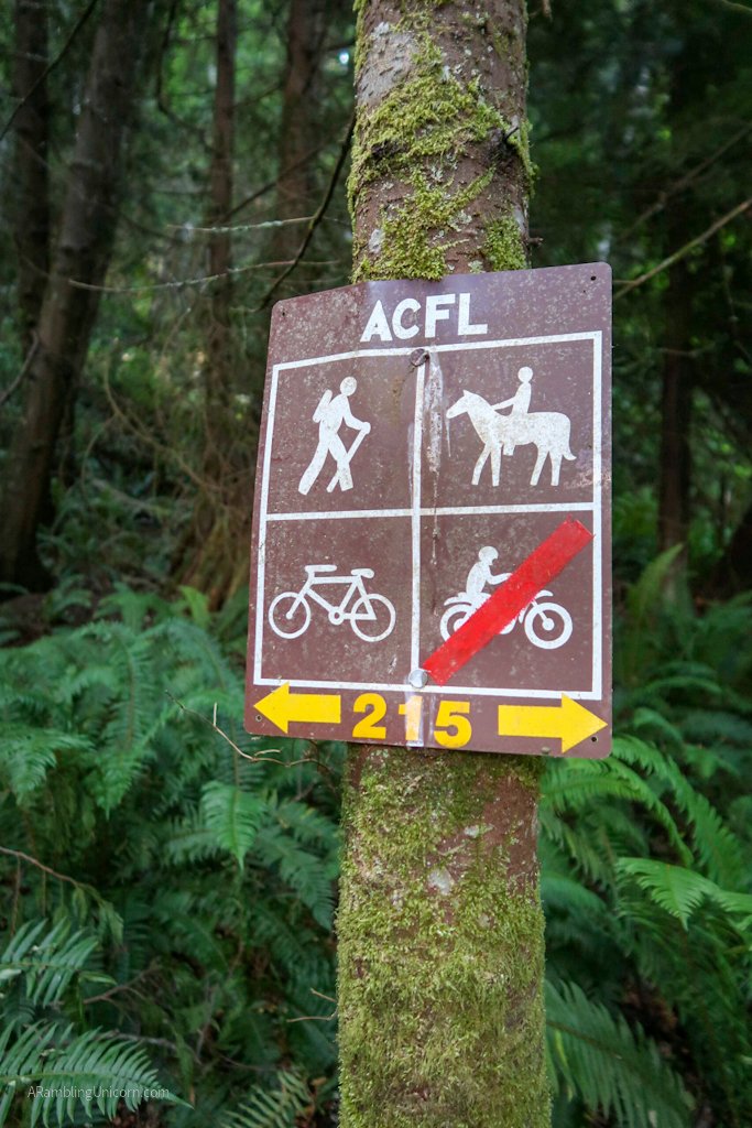
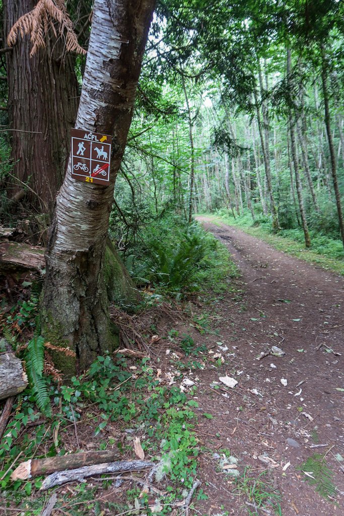
Trail 215 in the Anacortes Community Forest Lands
Â
Beginning Sugarloaf Mountain Hike
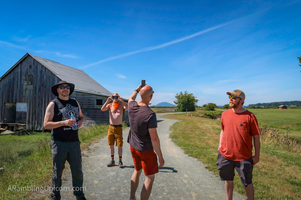
I arrived at the trailhead for the Sugarloaf Mountain Hike at 9:00 am on Tuesday morning. There were 9 cars in the parking lot when I arrived, although I only encountered a handful of other hikers on the trail. The parking lot is located in a pleasant little forest and offers a picnic table for those wanting to sit and relax.
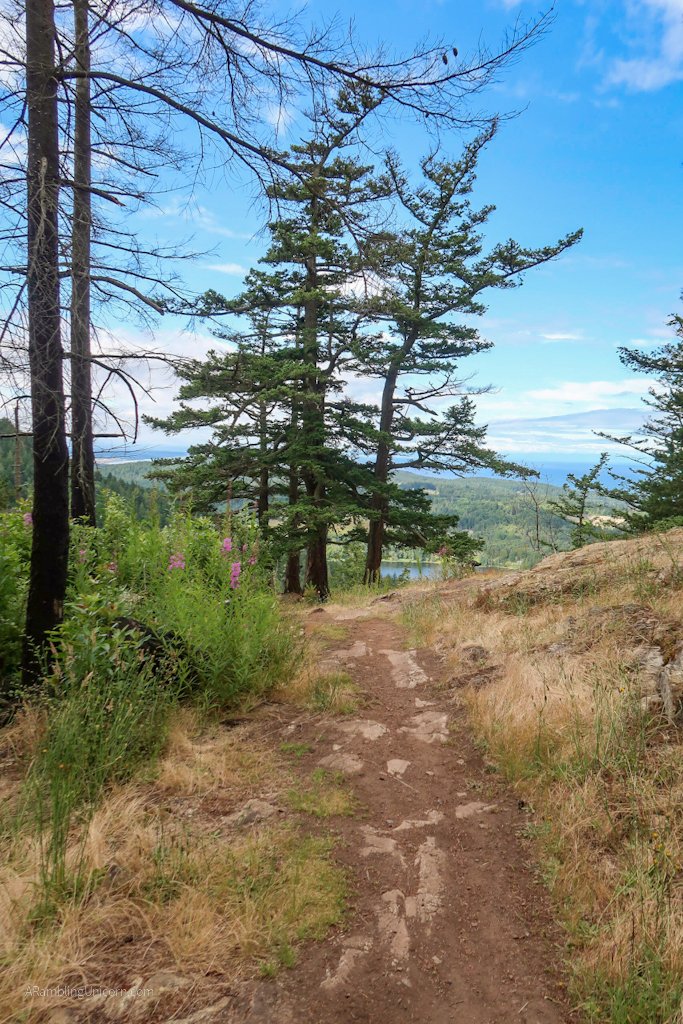
Sugarloaf Mountain Hike begins with a short jaunt through the forest along Trail 215. After a few minutes I came to an intersection. I decided to take the right fork and stay on Trail 215 because it seemed like the best route to take if I wanted to extend my hike and also tackle Mt. Erie in the same day.
Trail 215 goes sharply uphill at this point, so I got to really test out my lungs for the first time since recovering from COVID. I took it nice and slow and was pleased to find that I made the climb just fine. Two weeks ago it would have been a completely different story.
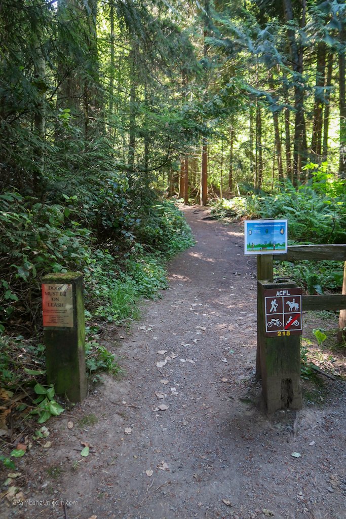
Sugarloaf Mountain Hike Trailhead
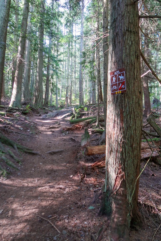
Hiking up Trail 215 to Sugarloaf Mountain
Â
Sugarloaf Mountain Summit
I peeled off of Trail 215 when it reached a junction with Trail 226. From here, I took Trail 226 (and then another spur on Trail 238) to the top of Sugarloaf Mountain. As advertised, the views of the Puget sound are absolutely stunning.
There is also a great view of nearby Mount Erie and I briefly contemplated hiking it as well. I was feeling energized and giddy at finally hiking up a hill for the first time this summer. But then I came to my senses. A few weeks ago I could barely make it up a flight of stairs. I shouldn’t overdo it. Sigh.
Approaching the Sugarloaf Mountain summit

I have conquered my first “mountain” of the summer. Huzzah!
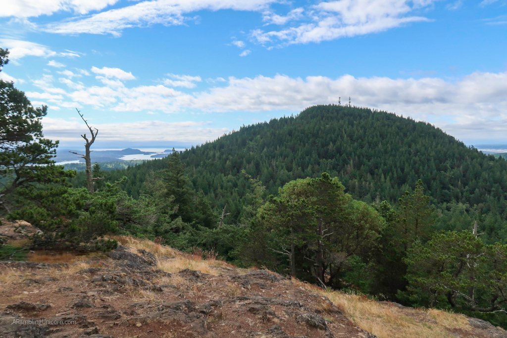
View of Mount Erie from Sugarloaf Mountain
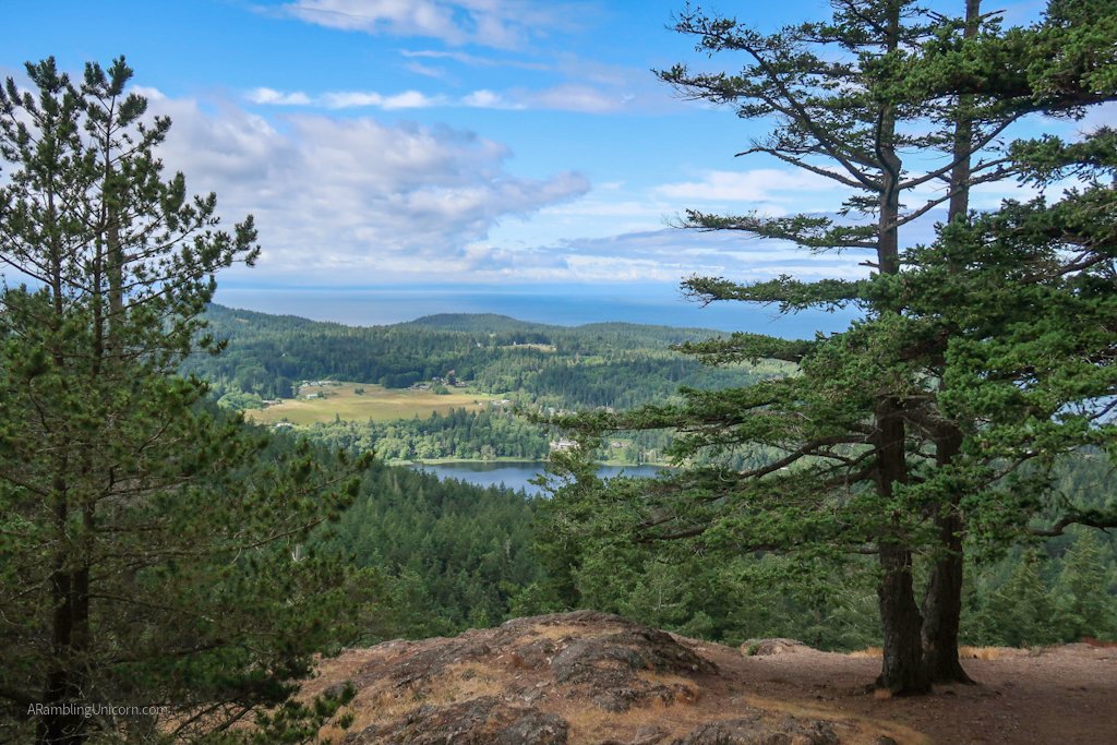
View of Heart Lake from Sugarloaf Mountain
Returning to the Trailhead
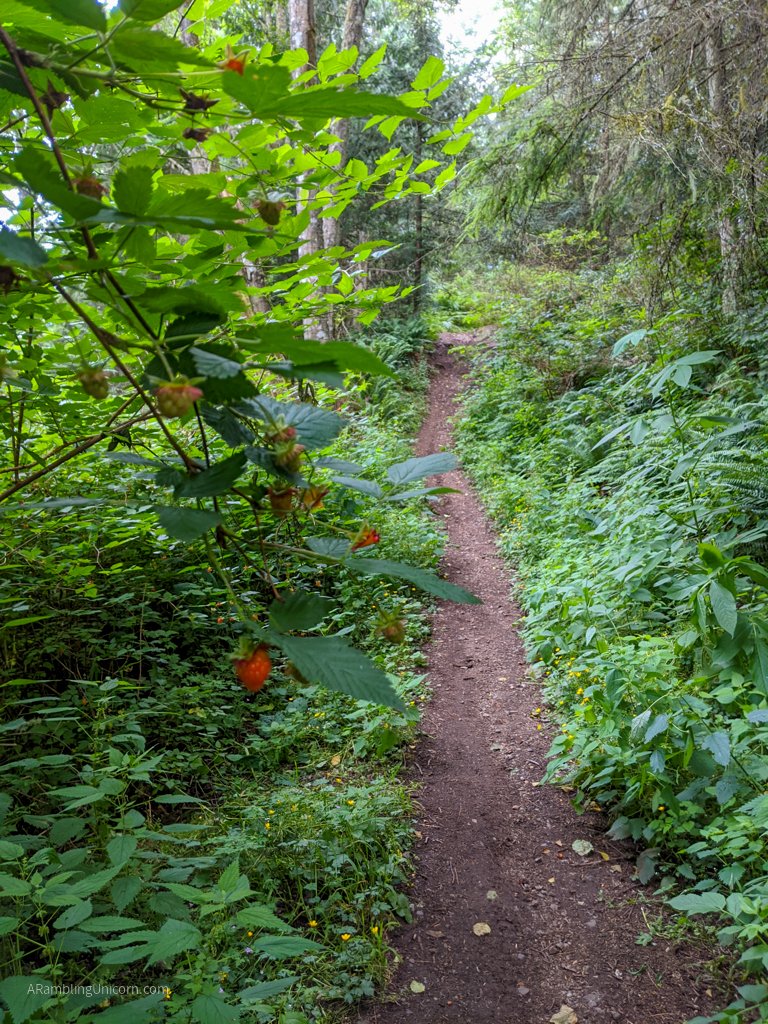
After taking in the views, I returned back to Trail 226 and continued east so that I could circle back to the trailhead. As I descended, I found lots of buttercups in bloom and salmonberries along the trail (although these were already picked over by other hikers).
As I continued along Trail 226, I noticed that the trail was not limited to use by just hikers. Some sections of the trail are also open to horses, mountain bikes and dirt bikes as well. The trail was a little muddy in spots but it was still easily passable.
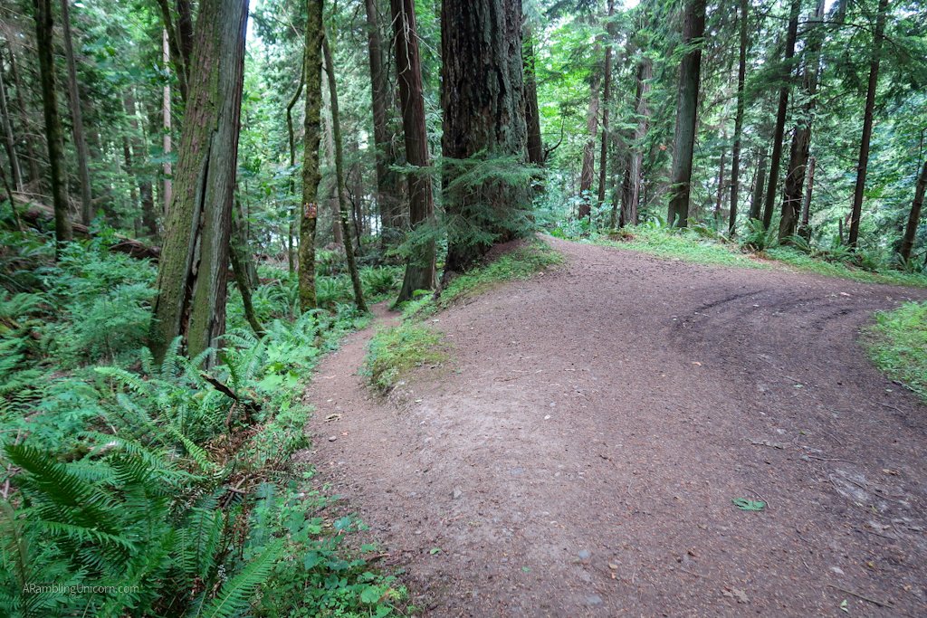
The path down wasn’t terribly steep and it was fairly easy going. Eventually I turned onto Trail 21, a broad path that looked more like a forest service road than a trail. The trail was so big that I almost didn’t notice the turnoff for Trail 320 at the bottom of the hill. I was expecting it, however, and after checking my map I followed the spur trail and made my way back to the parking lot.
My legs were wobbly as I returned to my car and folded up my hiking poles. I was glad I hadn’t also tried to tackle Mount Erie today. I wasn’t ready yet. But I’m pretty sure I will be soon.
Salmonberries along the trail. These were pretty picked over by other hikers.
Junction to Trail 21
Spur for Trail 320 off of Trail 21
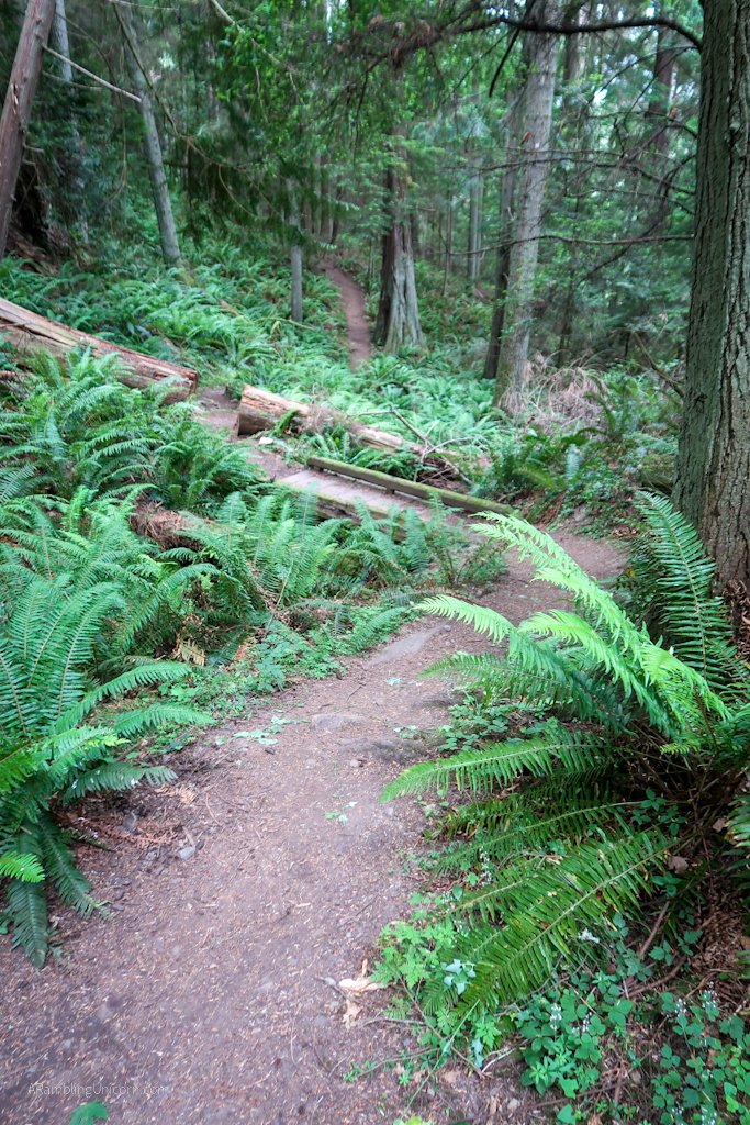
A lovely ramble through the woods
Â
More Information on Sugarloaf Mountain Hike
Elevation Gain: 890 feet
Distance: 2.5 miles
- Anacortes Community Forest Lands, Sugarloaf – Washington Trails Association
- Sugarloaf Mountain and Mount Erie Loop Trail – Alltrails.com
- Anacortes Community Forest Lands – City of Anacortes
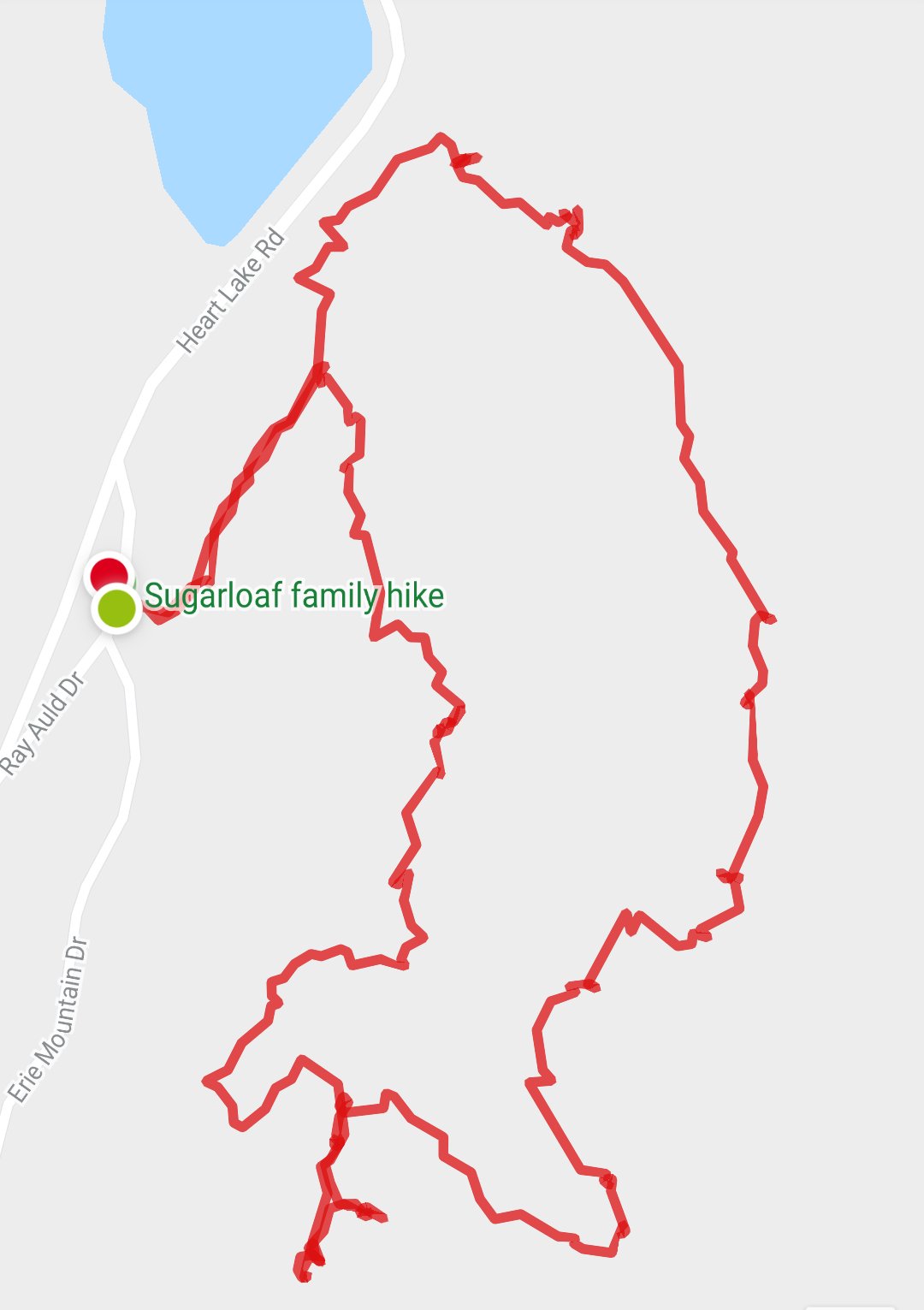
My route for the day to top of Sugarloaf Mountain


Yay!!! So glad you are doing what you love so much! Be the tortoise and go steady and stay safe! 💜
Thanks Aunt Joanna! It was a really lovely little trail ☺ï¸
Unicorn, I am so sorry that you are having to go through this frustrating recovery. I didn’t know that you were still dealing with the aftermath of Covid, but I should have. Wishing you much strength!