After yesterday’s disappointing tour of The Dells, I was ready for a do-over. We still had another day before we could pick up our new tires. I was determined to try again and hopefully have a better experience this time.
And that’s exactly what I did.
About the Ice Age Trail
I first learned about the Ice Age Trail (IAT) from my hiking buddy Halfway. I met Halfway on my 2017 Pacific Crest Trail through-hike and we swapped stories of our favorite hiking trails.
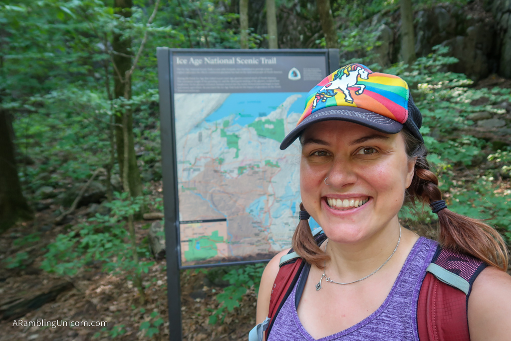
The Ice Age Trail is one of 11 National Scenic Trails managed by the National Park Service. This 1000-mile footpath travels through landscapes in Wisconsin that were shaped by glaciers over 12,000 years ago.
And, as luck would have it, the trail passes near the Wisconsin Dells!
After consulting some maps, I determined that the best nearby section was located in Devil’s Lake State Park. There are closer sections but they didn’t seem very interesting (and they involved a lot of road-walking).
Planning my Hike
Daniel and I passed through Devil’s Lake State Park yesterday, but didn’t stay long. Annual passes are required to park at Devil’s Lake. We didn’t have one because they have to be ordered in advance. No day passes are available this year due to COVID.
Today, however, we came prepared with a new plan. The pass is only required for parking, not for passing through. So Daniel dropped me off at the IAT trailhead on North Shore Road and left to go work on his blog. He returned a few hours later and picked me up at the South Shore parking area.
Hiking through Devil’s Lake State Park
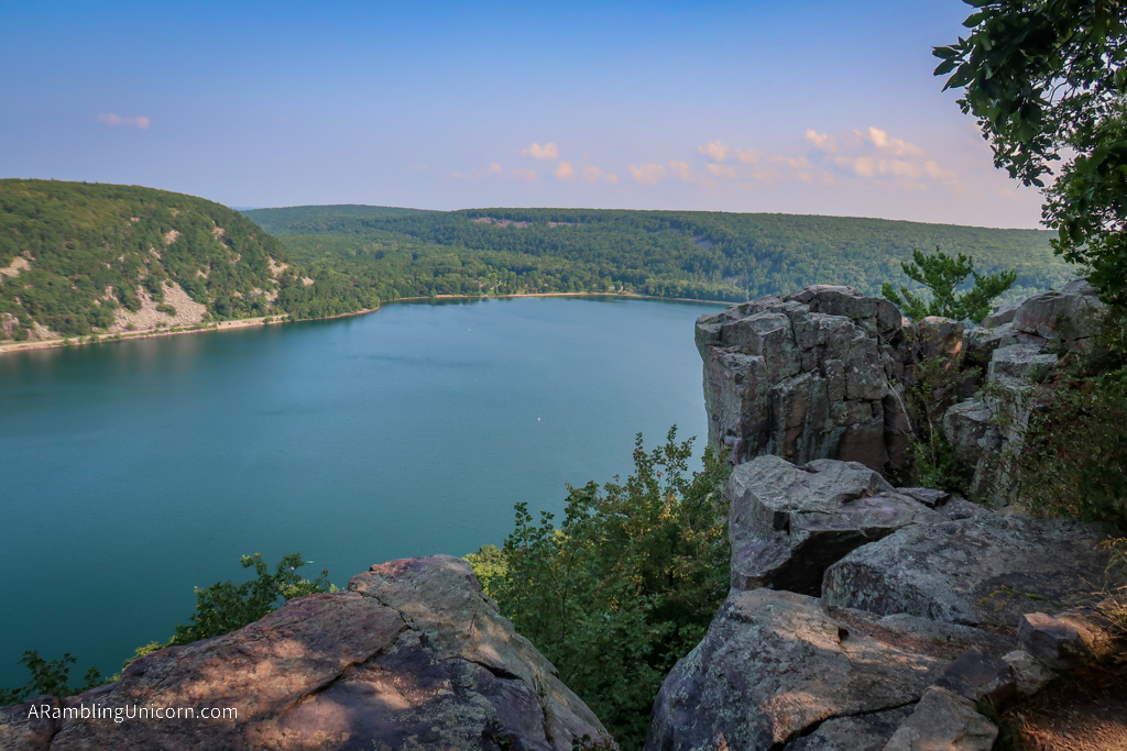
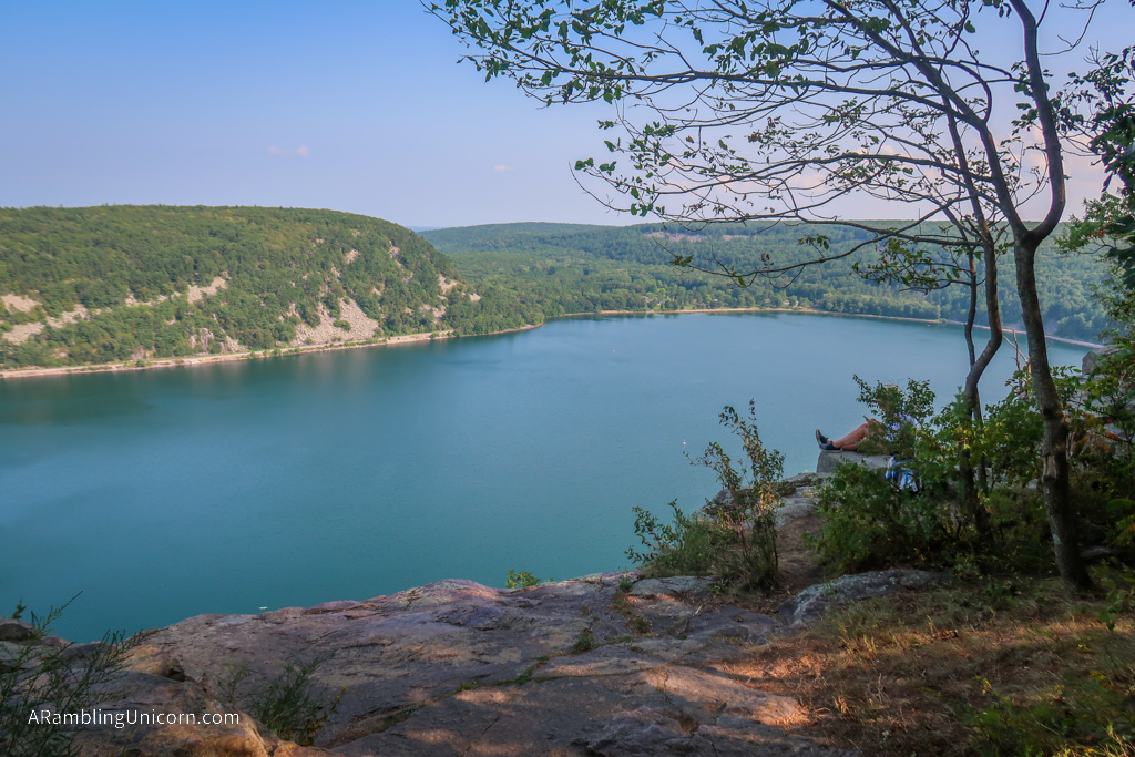
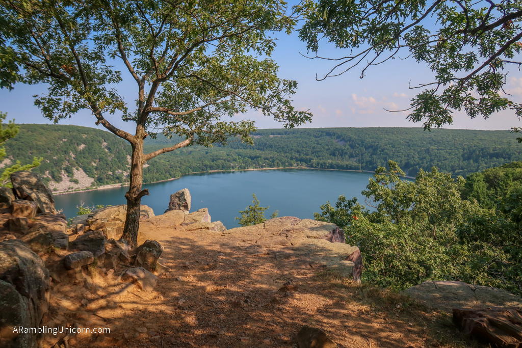
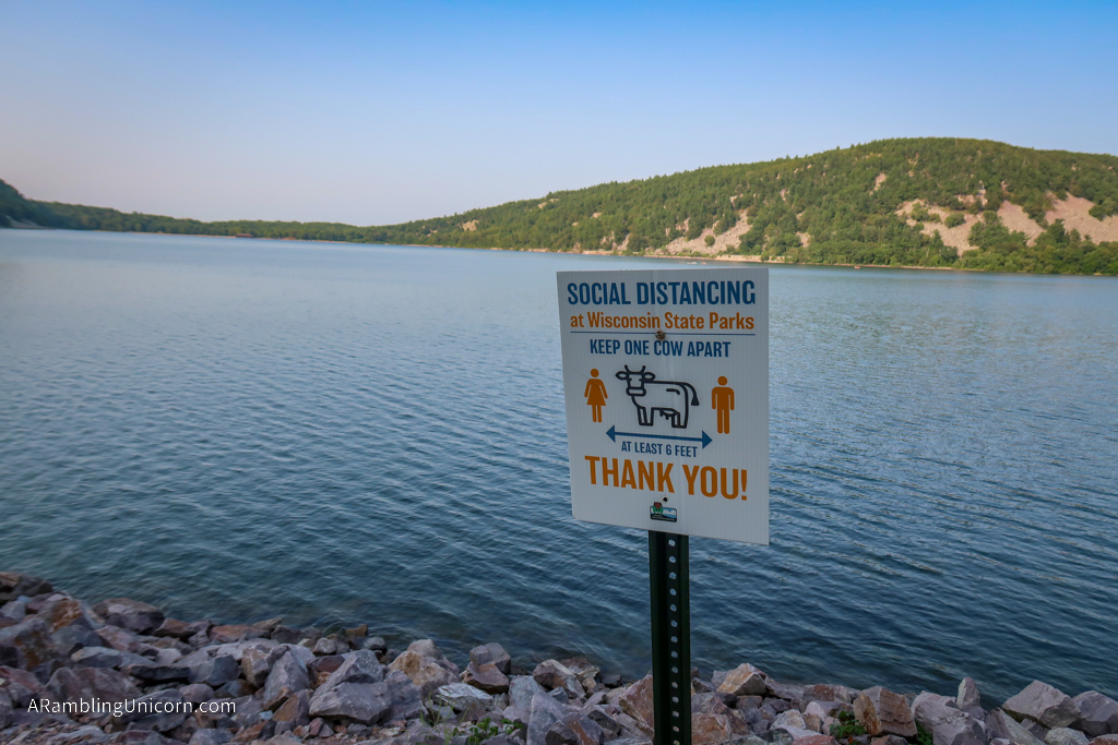
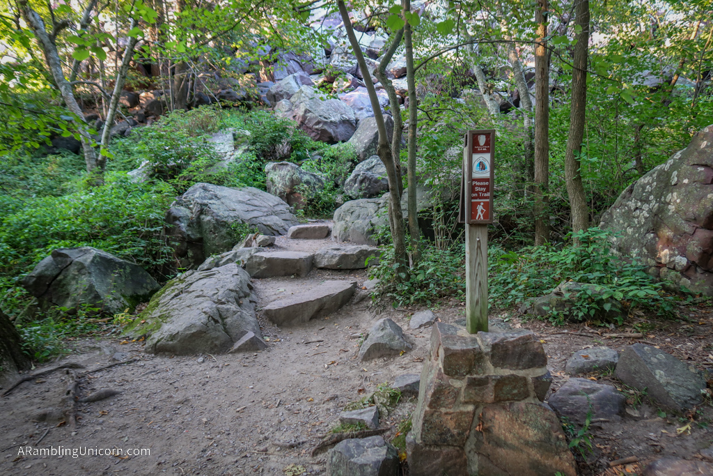
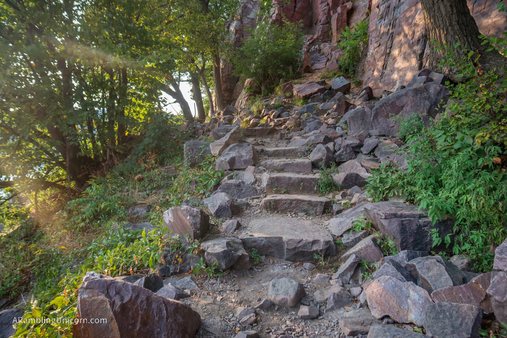
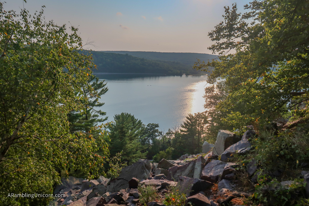
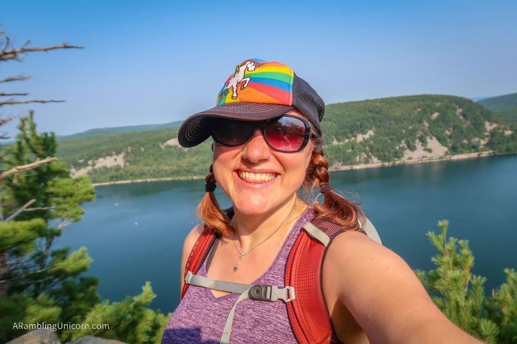
After initially going the wrong way and ending down at the lake, I turned around and hiked uphill along the West Bluff Trail. As its name suggests, this section of trail travels along a bluff on the west side of Devil’s Lake. It’s steep going at first, but has some pretty great views of the lake from the top. It’s also somewhat popular but I managed to remain socially distant from the other visitors.
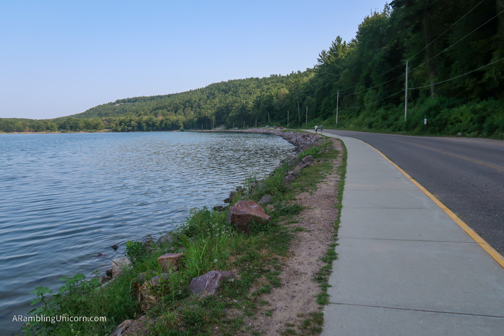
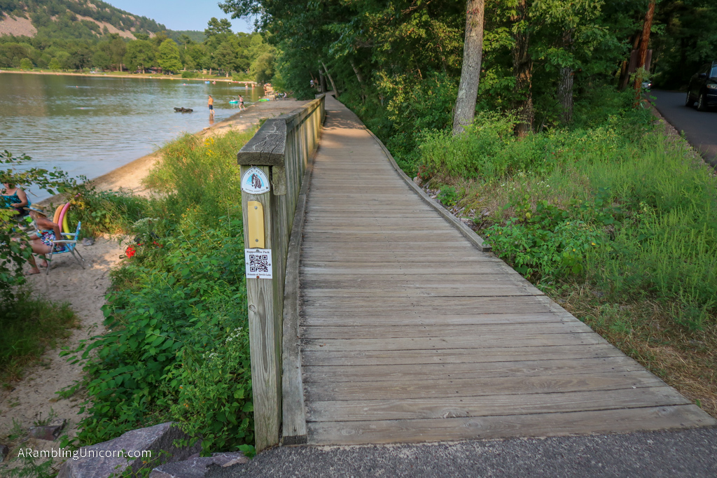
After a mile and a half, the trail descends from the bluff and continues along the lake to the South Shore. There is swimming beach at the south end of the lake which was less crowded than the one on the north shore. I had initially planned a longer hike but I’m still not in great shape after recovering from COVID so decided to end my hike here.
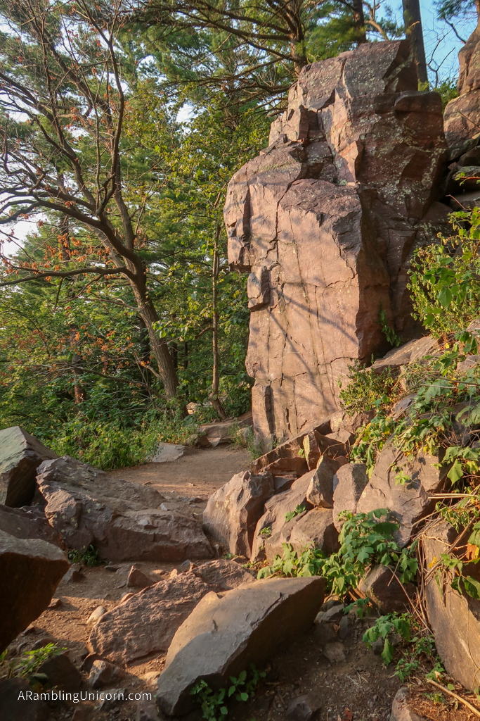
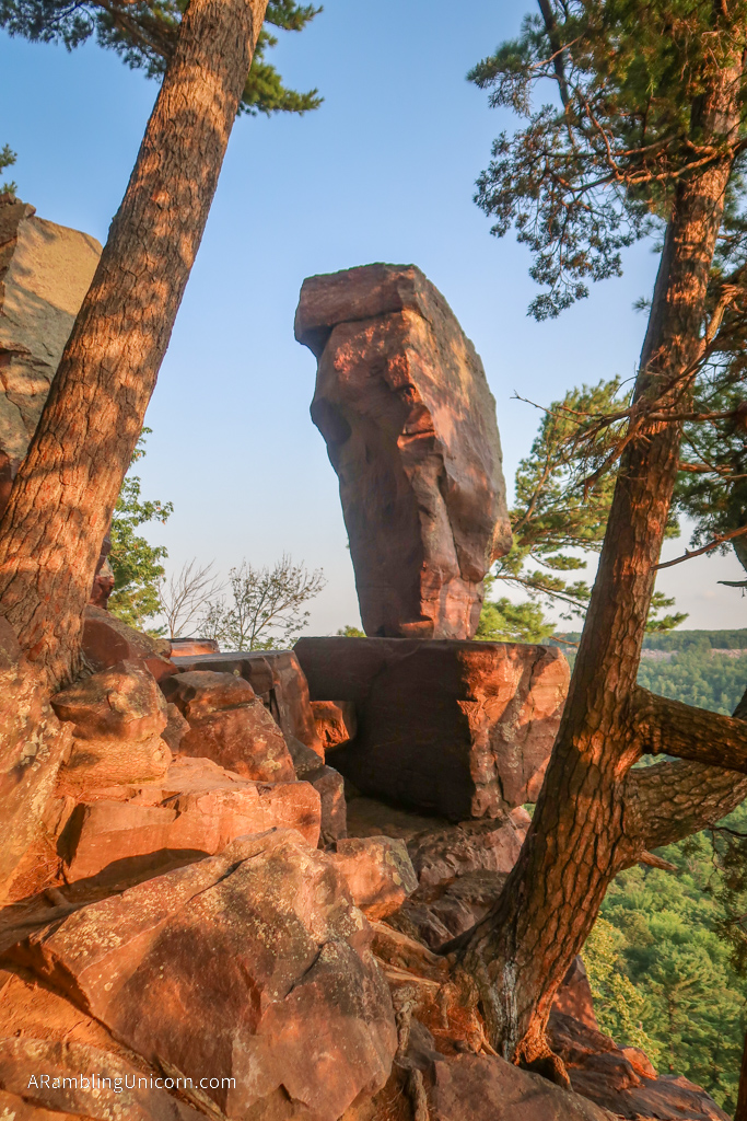
Before I left, however, I continued along the trail to check out Balanced Rock. The trail climbed sharply uphill through a boulder field and soon I was surrounded with giant red rocks. Balanced Rock was a little hard to find but eventually I located a spur trail and found it perched on the side of a cliff.
Where am I now?
Date: August 25, 2020
Great American Road Trip Status: Day 51
Location: The Wisconsin Dells KOA Campground
Miles Traveled: 47.9
Total Trip Mileage: 4526.7
For more details on our Great America (Socially Distanced) Road Trip, see my previous posts:





It’s September 13th – Where are you now Unicorn?
Hi Laurie! We are in Madison, Wisconsin. We’ve been having some car troubles. The Rialta is in the shop and we’ve been having a little unplanned vacation as a result.