Ozette Triangle Day 3: Wedding Rocks to Lake Ozette
Distance: 4.6 miles hiking
+ 1 additional mile exploring Cape Alava
For more information on the Ozette Triangle Trail, visit the Backpacking Ozette Triangle in Olympic National Park landing page
We awoke in a fog again on Sunday morning. Thankfully, it didn’t drench our tent this time as we hadn’t affixed the rainfly. We packed up reluctantly, knowing it was the last day of our hike. But it was also the longest day that we had planned for our trip so we didn’t linger too long.
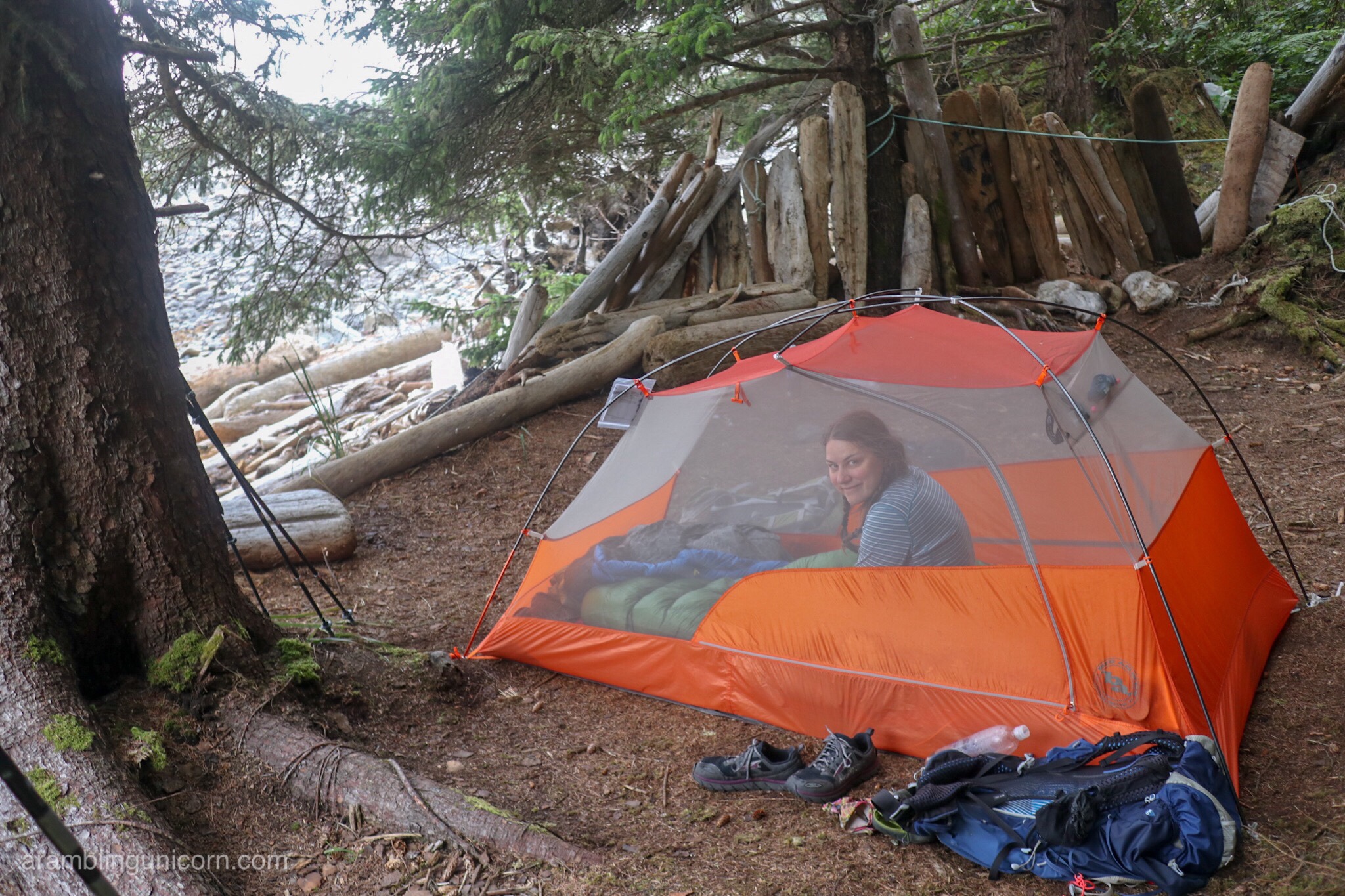
Hanging out in the tent at our Wedding Rocks campsite. Photo by Daniel.
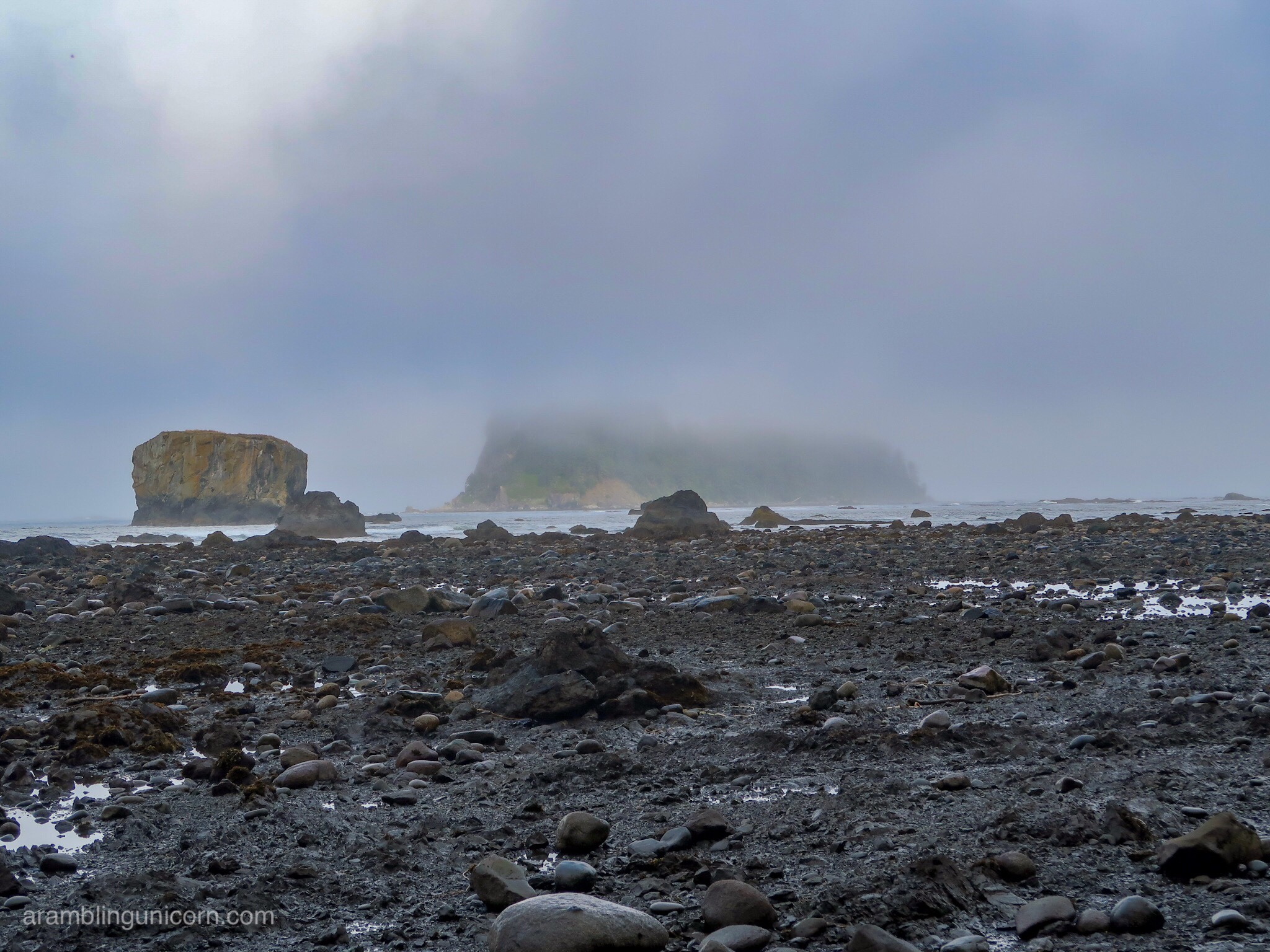
Ozette Island is barely visible through the fog
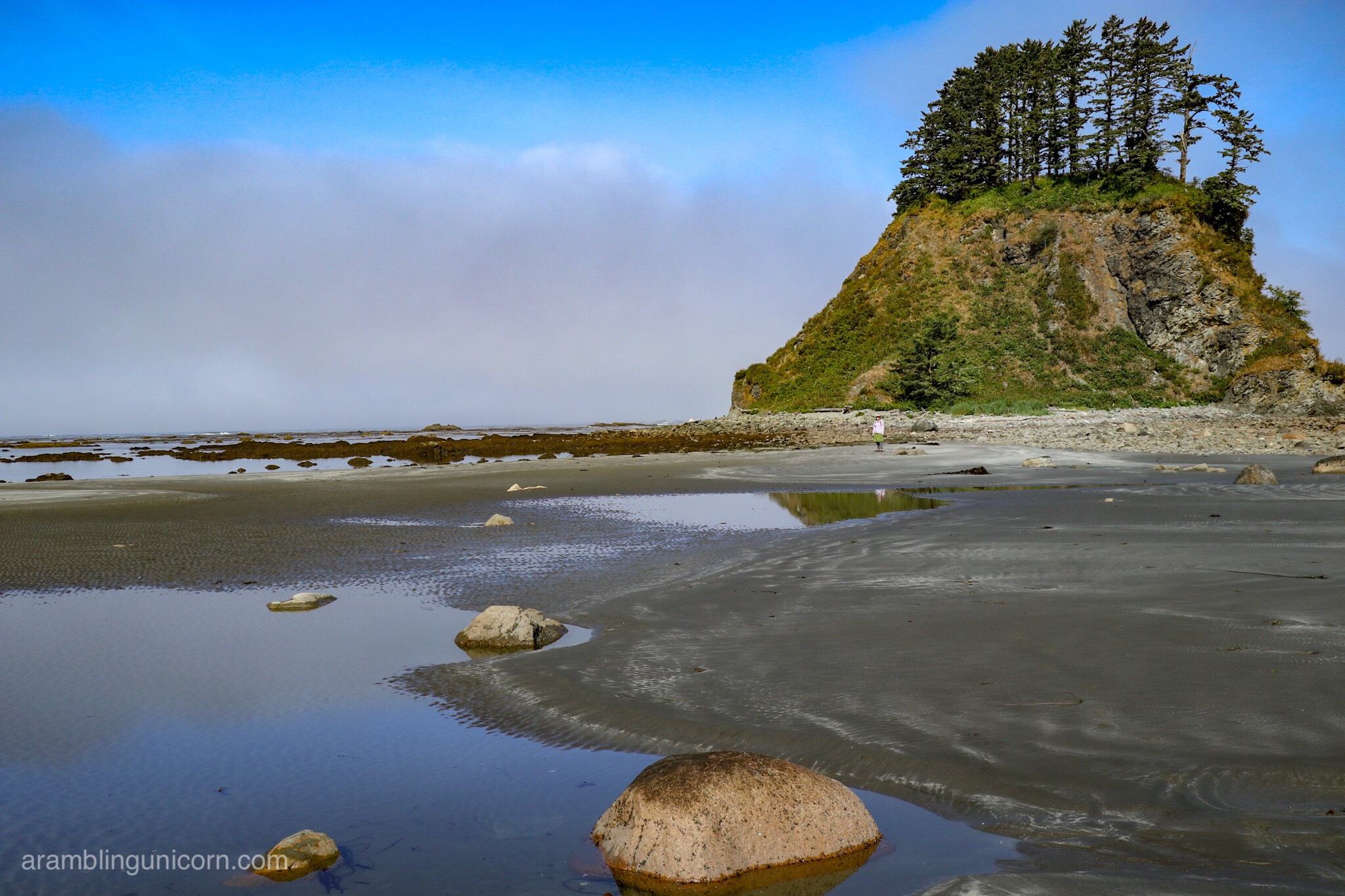
After rounding Wedding Rocks we walked the last mile of the beach towards Cape Alava. This section was trickier than the previous two miles of beach walking due to the number of downed trees crossing the trail.
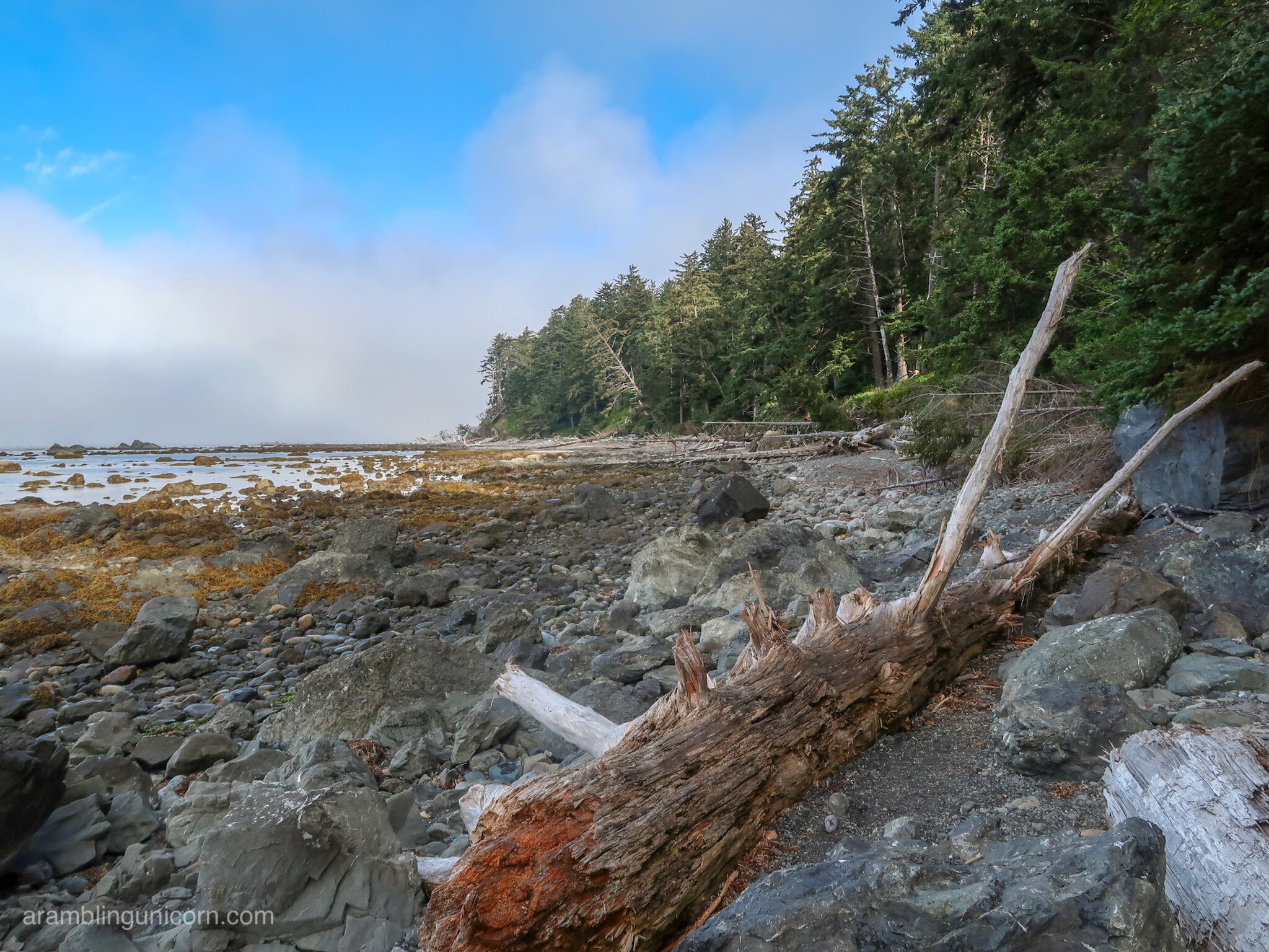
Beach walking between Wedding Rocks and Cape Alava
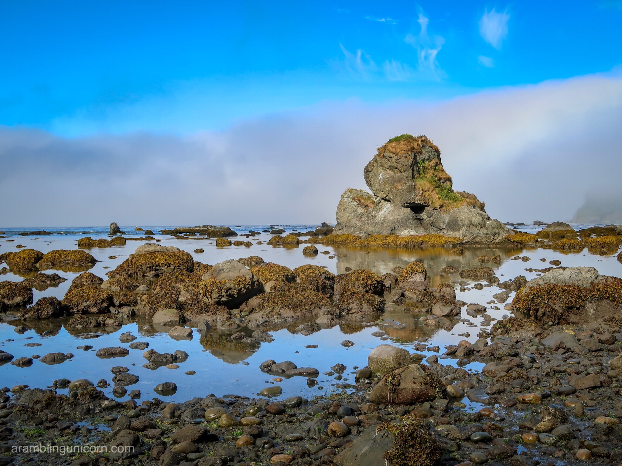
These views aren’t bad 🙂
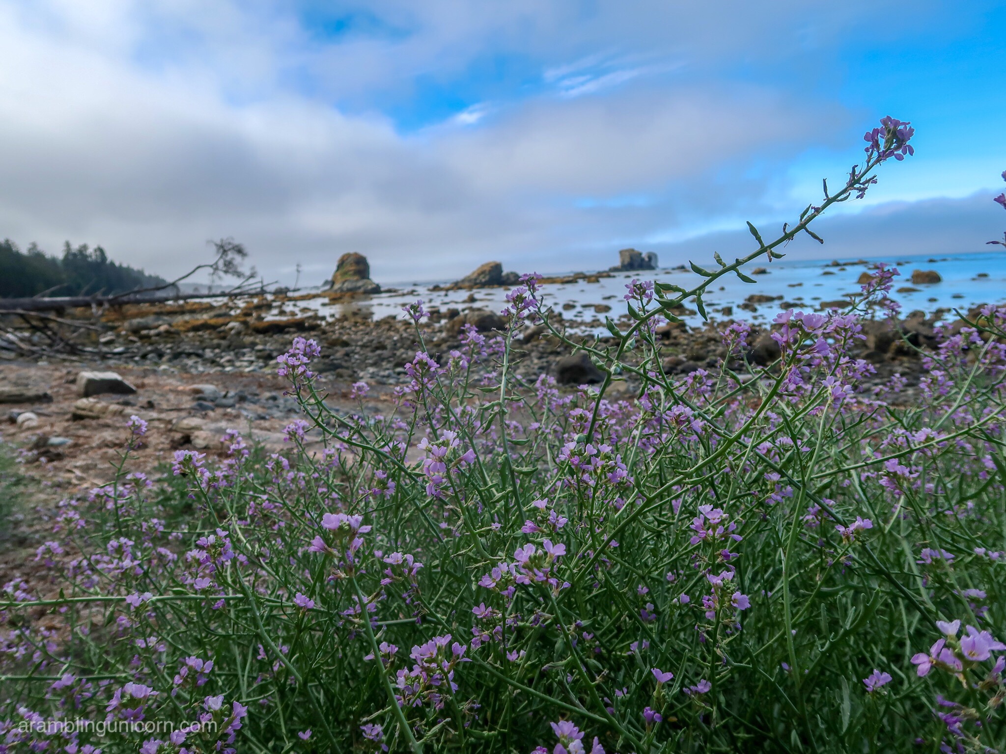
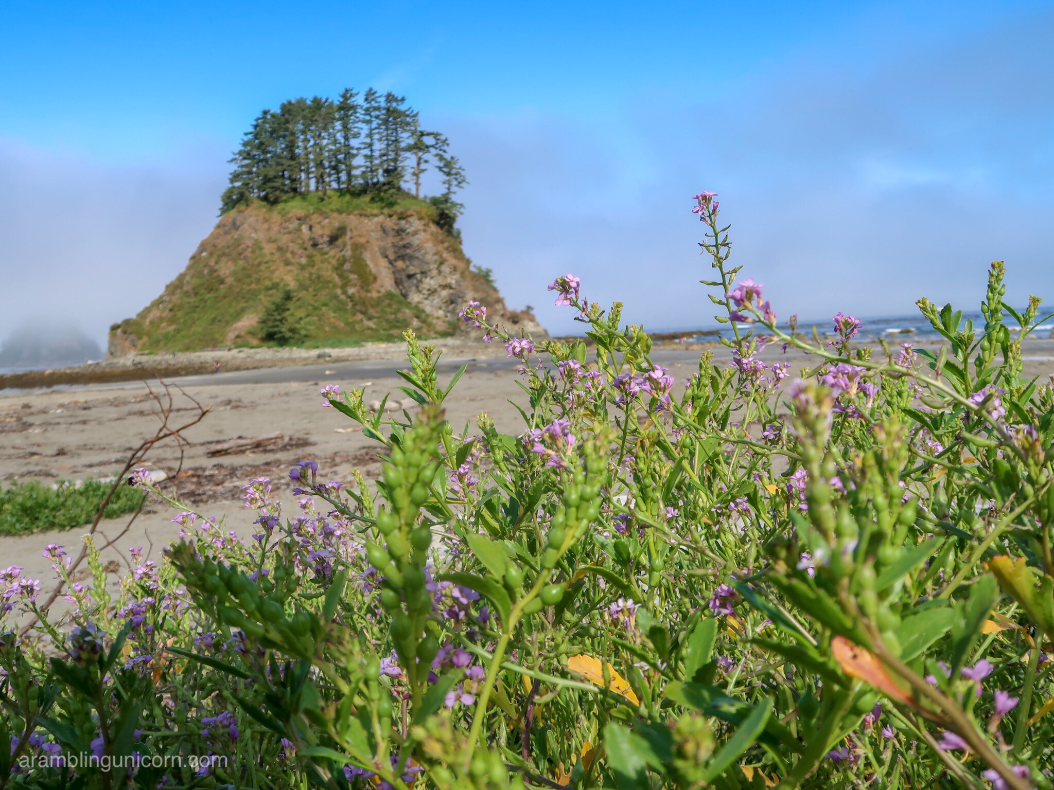
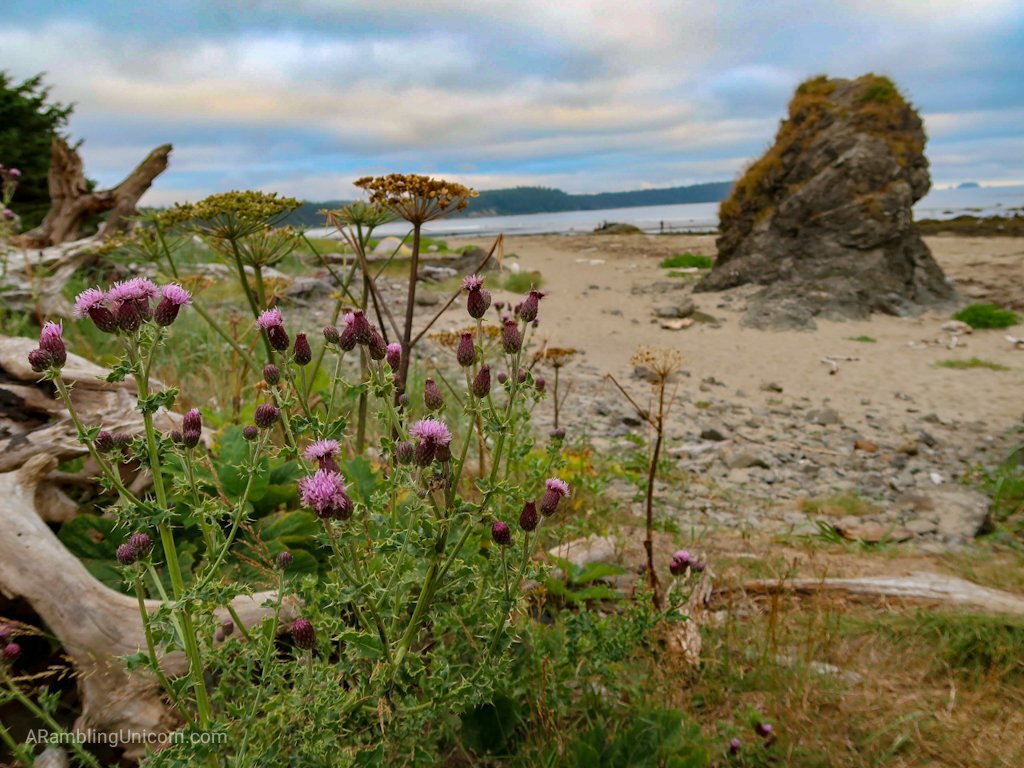
Wild flowers along the beach
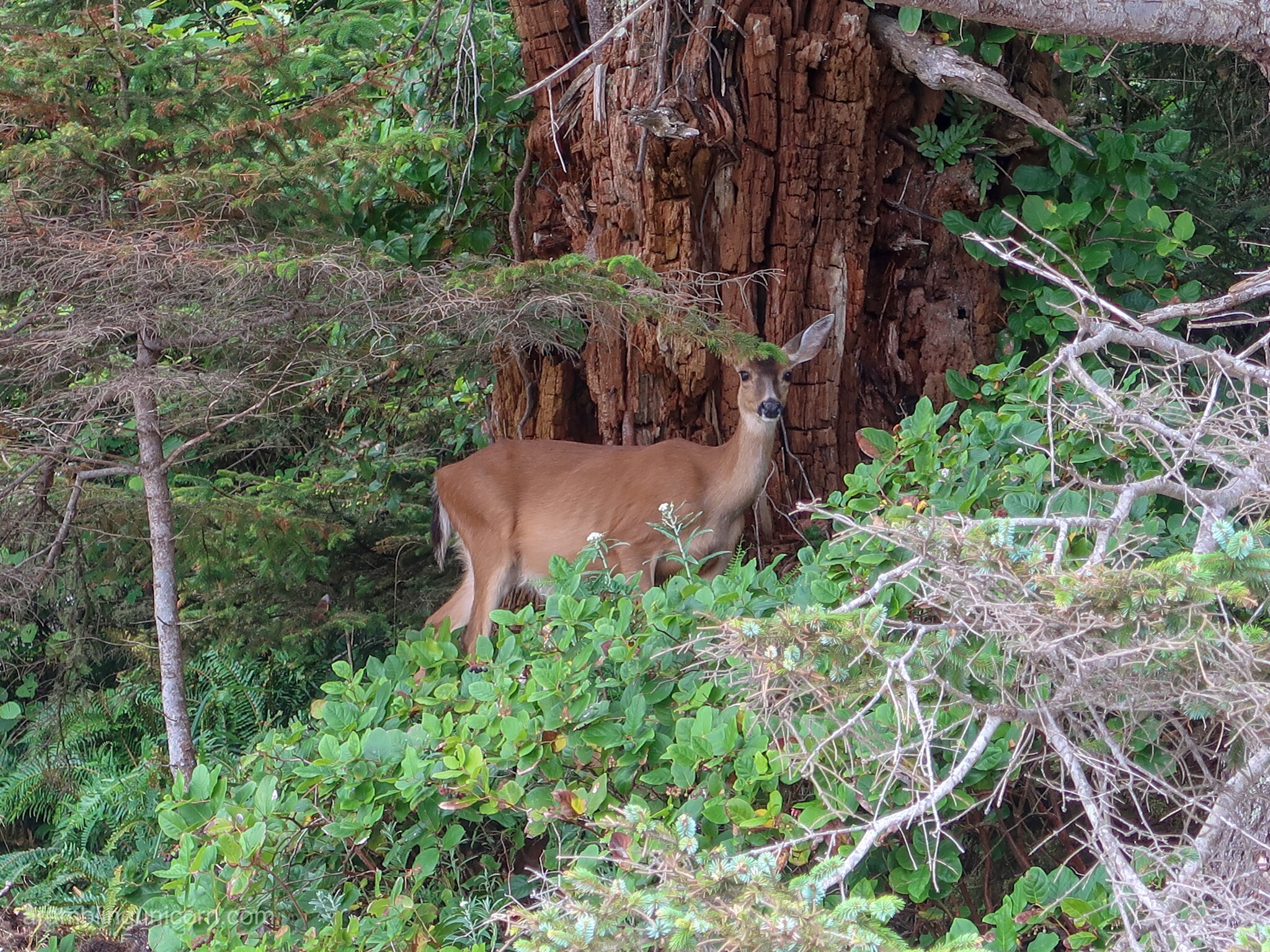
Deer!
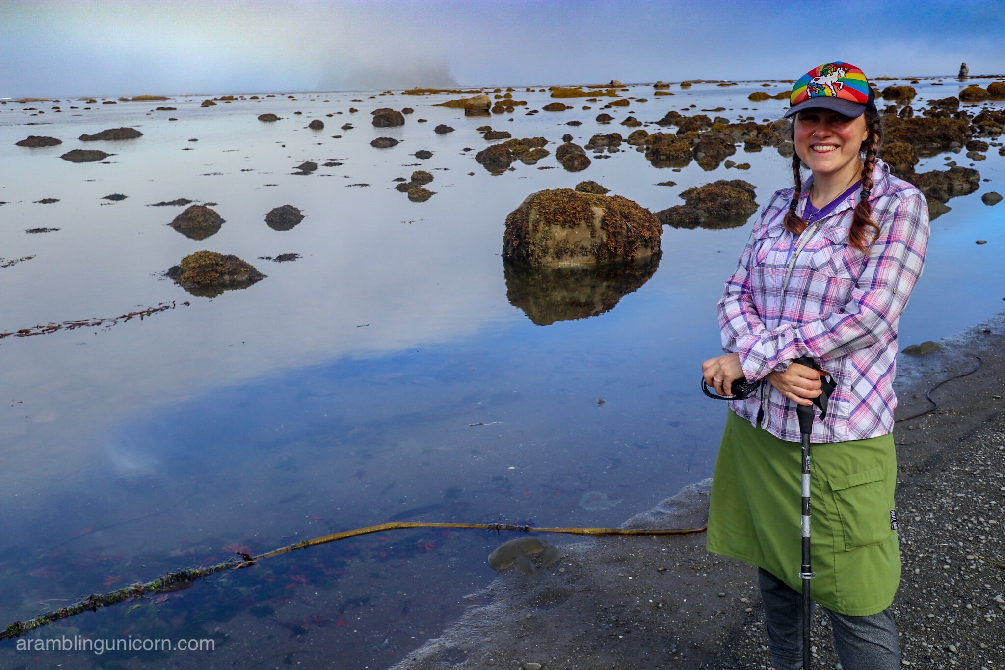
We reached the Cape Alava Trail Junction earlier than anticipated and so decided to explore the area for a bit. About half a mile up the beach we could see Tskawahyah Island – which is connected to the mainland via a sand bar at low tide. It’s also the westernmost point in the contiguous United States AND the western terminus of the Pacific Northwest Trail. So, of course, we had to go check it out.
Tskawahyah Island
At Cape Alava. Â Photo by Daniel.
I’m barely visible in this photo standing next to Tskawahyah Island.  Photo by Daniel.
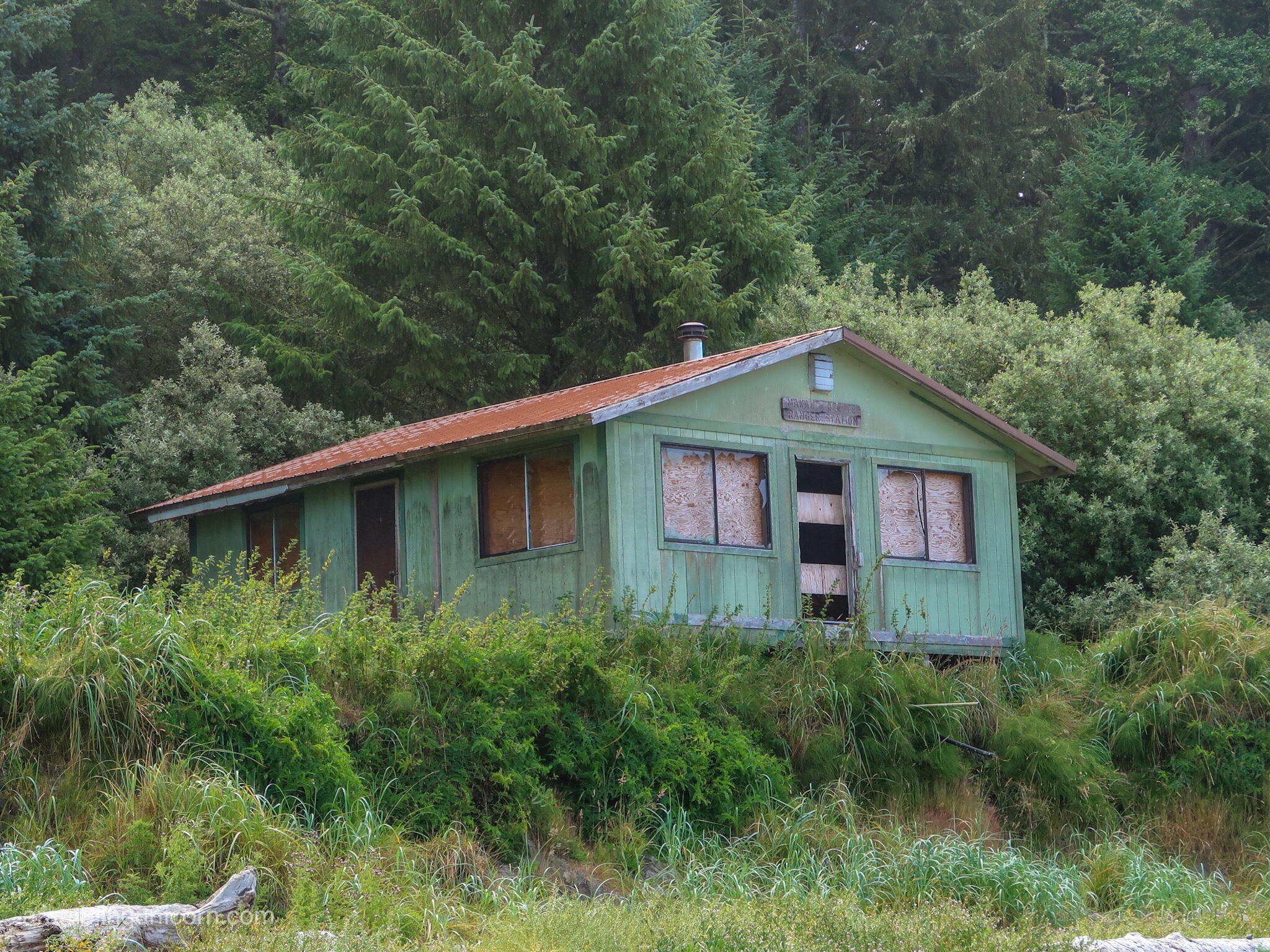
An abandoned ranger station
Once back at the junction, we headed into the trees and began our return trip along the Cape Alava Trail. This section was similar to the walk out on the Sand Point Trail but with slightly more elevation. The hushed walk through the moss-covered trees seemed like a fitting way to end our trip.
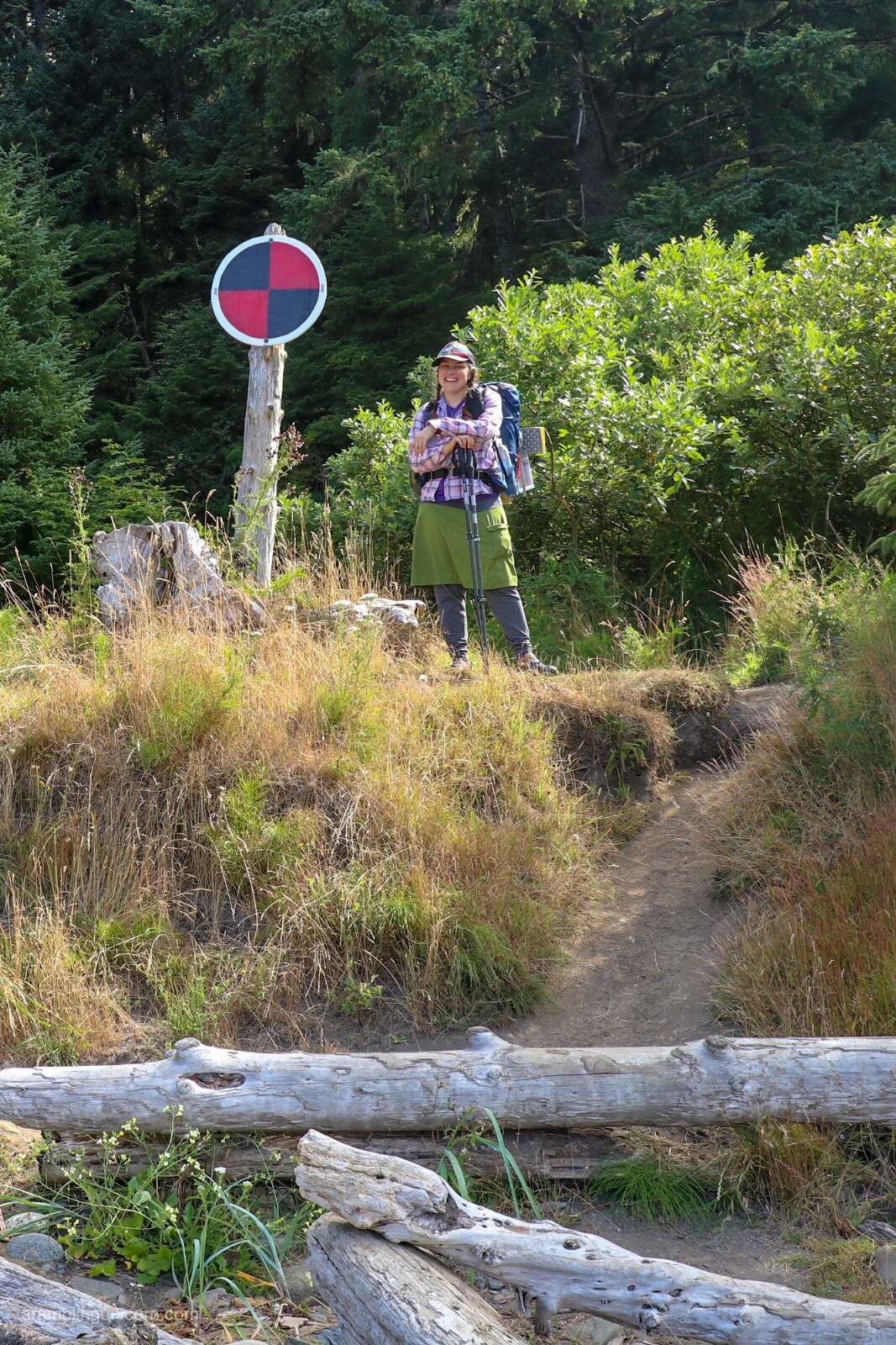
At the Cape Alava trail junction
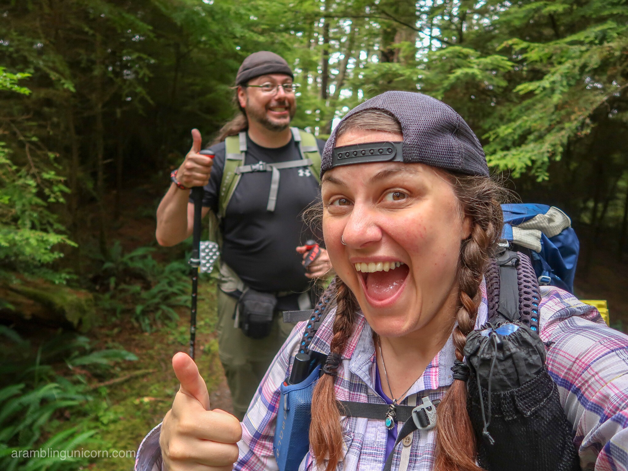
This hike deserves two thumbs up!
What an amazing and magical weekend.

0 Comments