I awoke early this morning and wasn’t able to fall back to sleep so I felt a bit tired today. I could see the sunrise through the trees as I reclined in my tent. I packed up my bag and headed down to the Lodge for the breakfast buffet when the doors opened at 7:30 am.
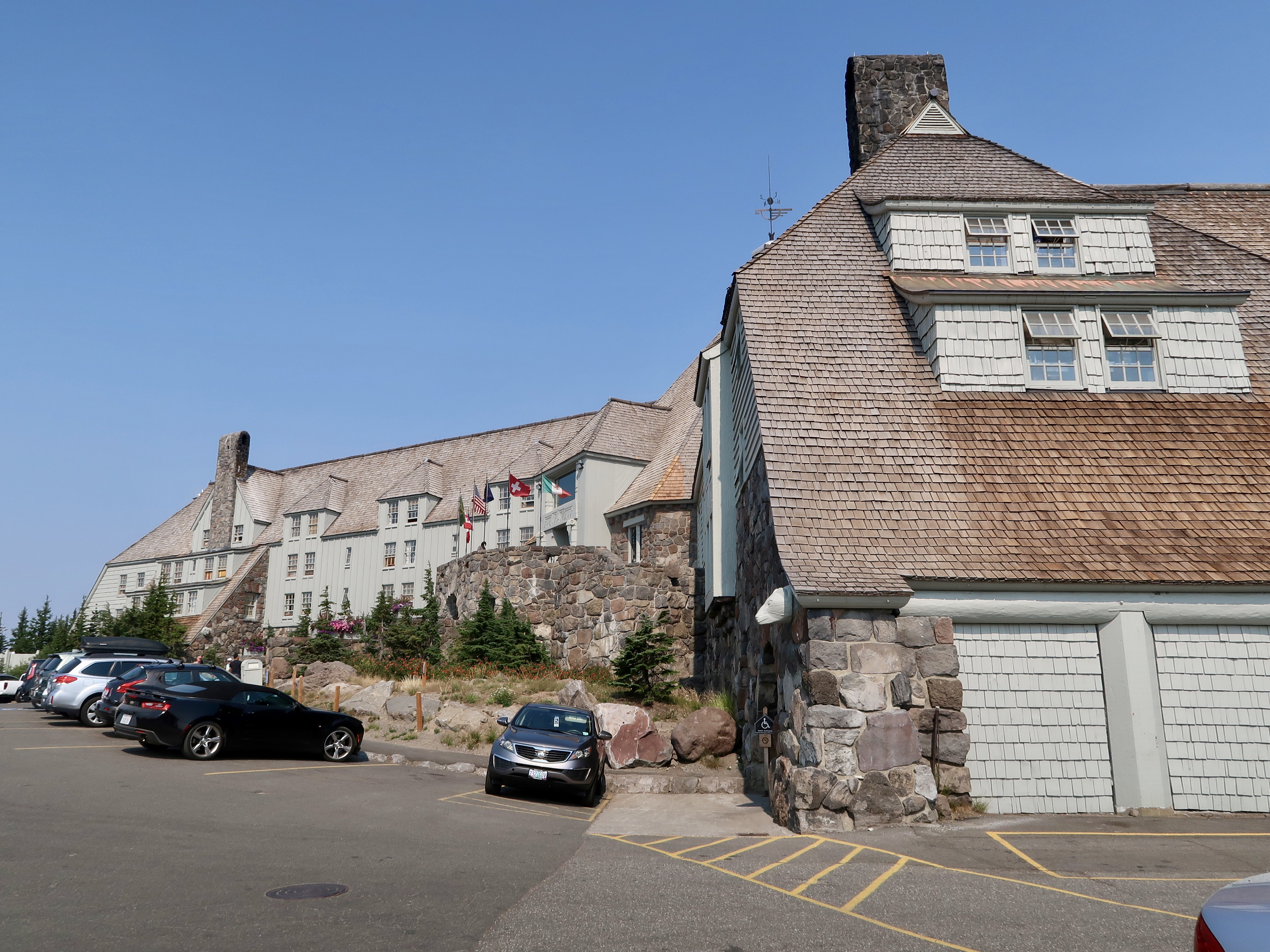
Timberline Lodge is an impressive building – it was built in the 1930s and is now preserved as a historical landmark. The furnishings are elegant and I expect the hotel rooms are pricey although I didn’t confirm this for myself. And they are very hiker friendly. At least 10 or 15 hikers lounged on couches in the great room that leads into the dining room, charging devices and using the (surprisingly adequate) wifi.
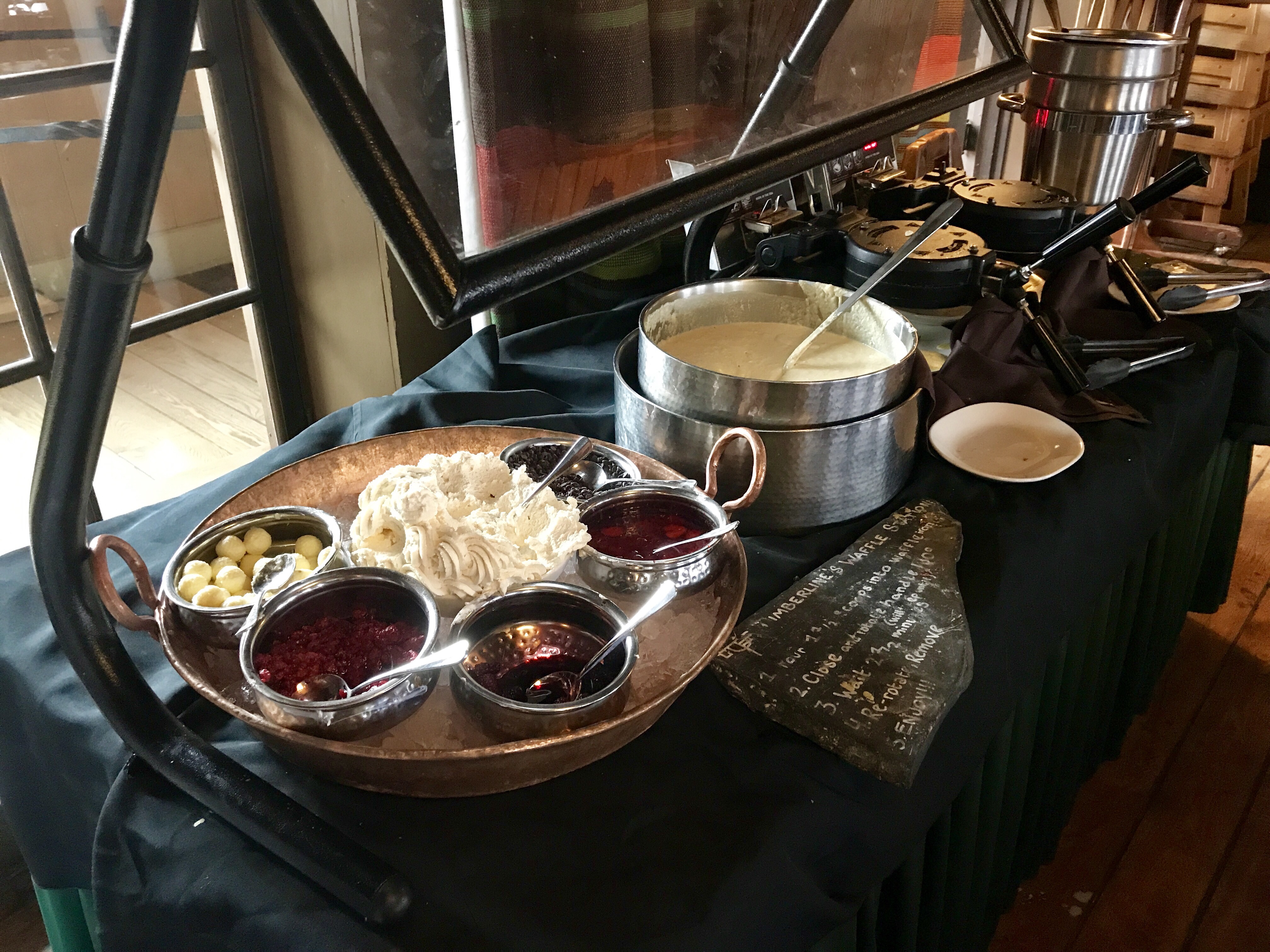
The breakfast buffet is renowned among through hikers – all you can eat breakfasty goodness for only $16. They had a make-your-own waffle station, pitchers of smoothies, pastries, fruit, yogurt, assorted breakfast meats, cheesy eggs… and lots of other goodies that I can’t remember. Everything was delicious and just a little bit fancy. I ate breakfast with Shutter, Cargo, and Yoav, and we planned to get our money’s worth. But we all had to throw in the towel after only 2 trips to the buffet.
I spent the rest of the morning digesting my breakfast while I relaxed in the great room and worked on my blog. I also picked up my resupply box. And I was back on the trail again by 11:00 am.
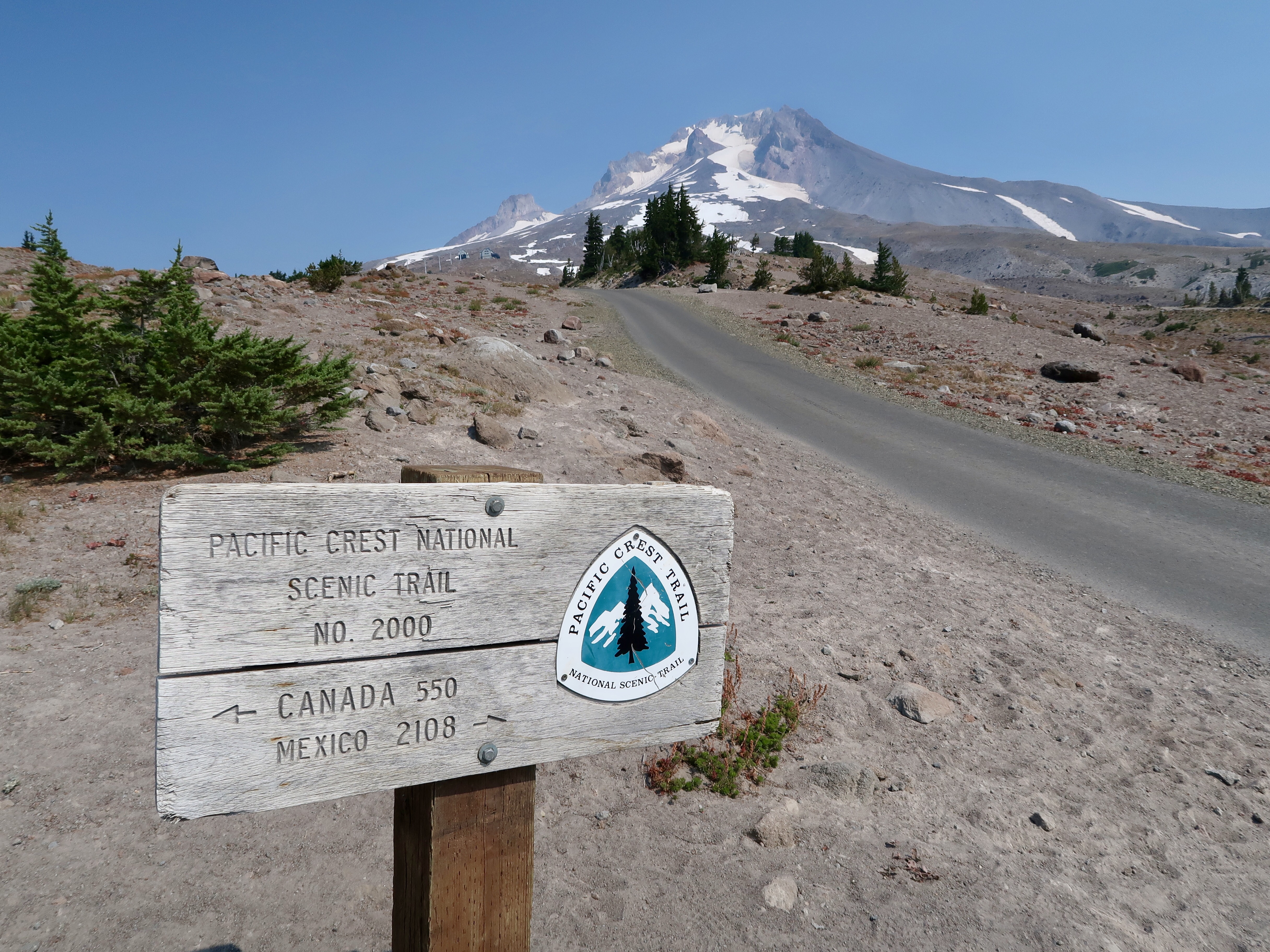
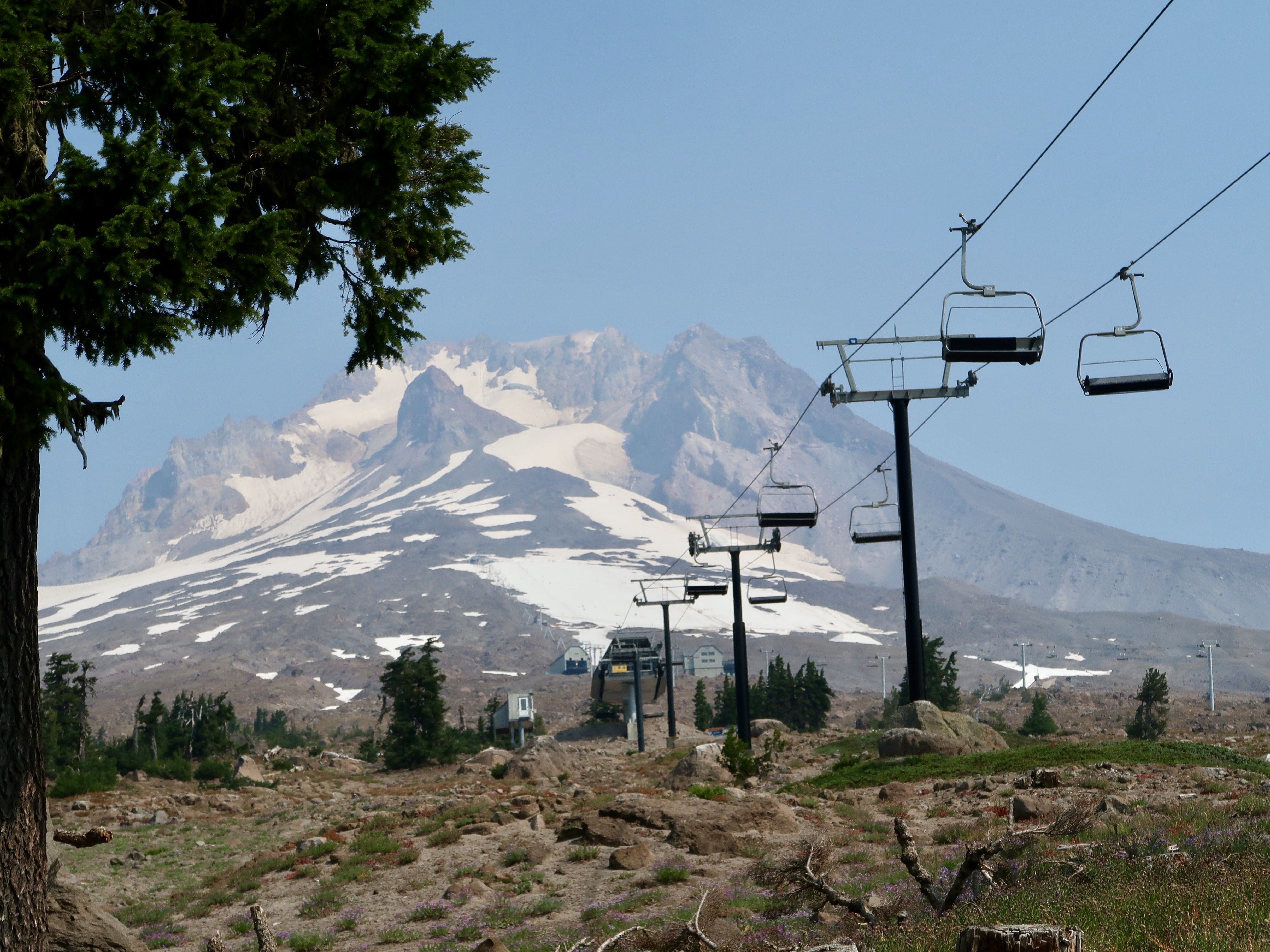
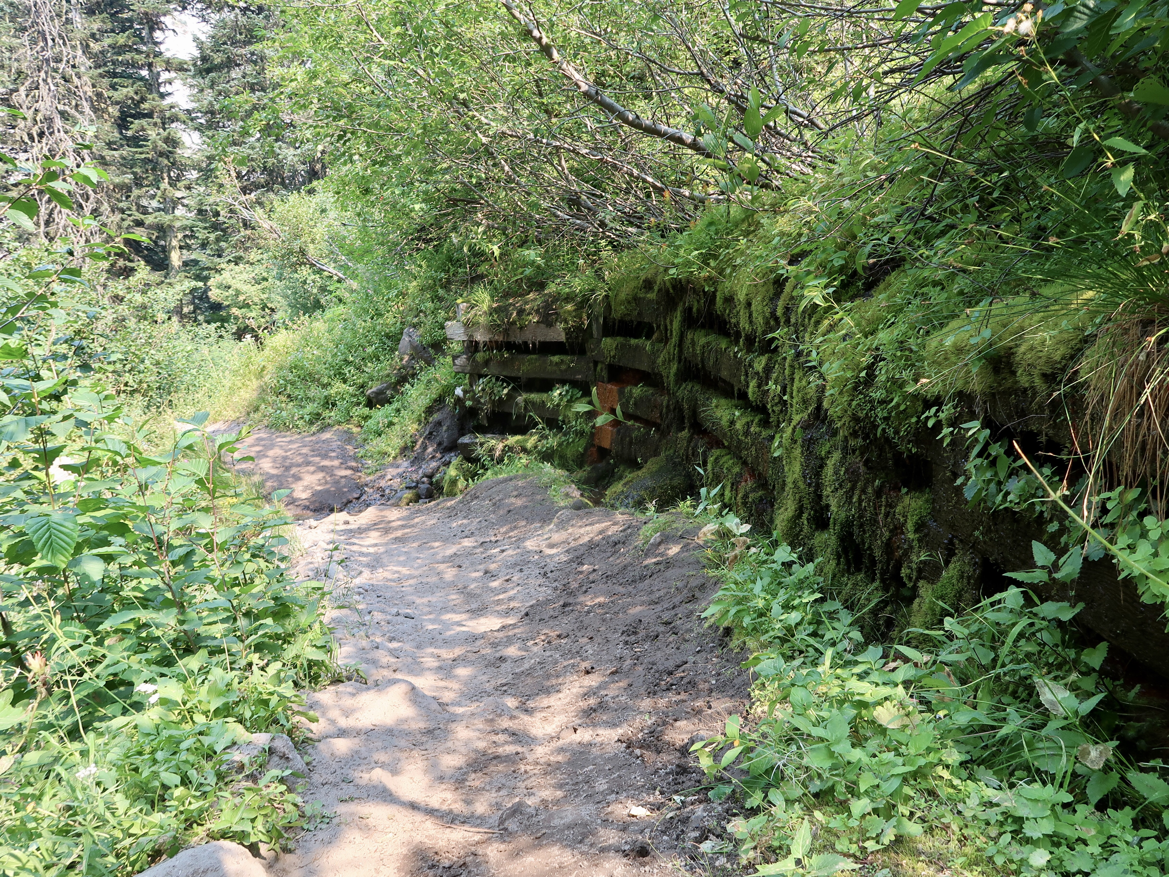
I felt a bit sluggish as I hiked in the afternoon. The elevation profile was more difficult today than it had been in a long time – the trail climbed steeply and descended steeply as it wound around the west side of Mt. Hood. I was reminded again of hiking the Wonderland Trail around Mt. Rainier. Like Rainier, Mt. Hood has glaciers that have formed around the top of the mountain. The runoff from the glaciers forms rivers that have carved deep valleys into the terrain. Hiking around the mountain means hiking up and down those valleys and crossing the rivers.
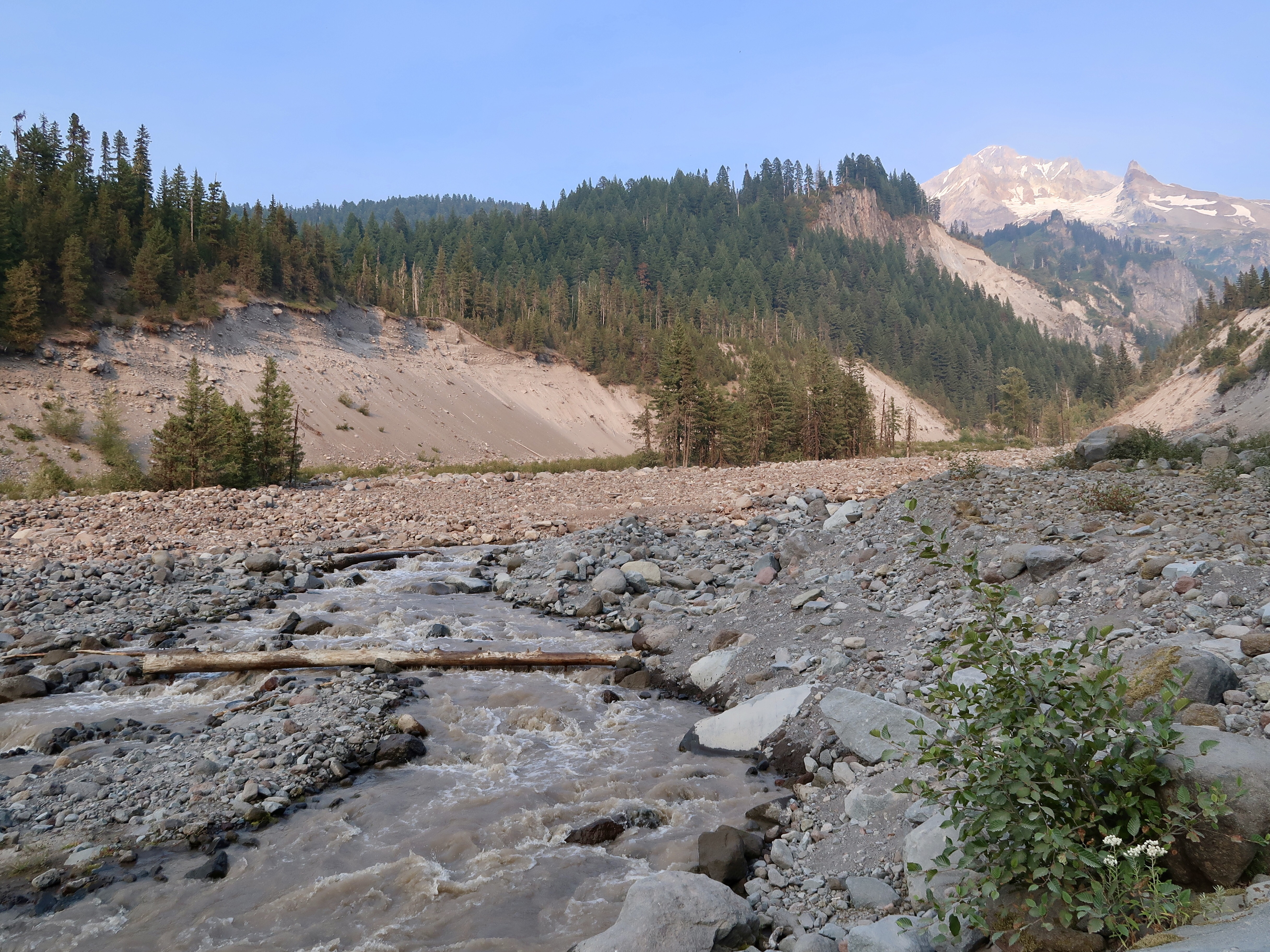
Around 5:30 pm, I came to the Sandy River. The river is a torrent of muddy and silty water from glacial runoff. Any attempt at a bridge gets washed out every year so the river has to be forded. I heard from other hikers that it can be crossed on a log, and sure enough there was one log crossing the river. But it was a very narrow log and it looked wet and slippery. I walked up to the log and put my foot on it and I just couldn’t do it. The thought of crossing on the log made freaked me out. I was sure I was going to fall in the river.
I wasn’t sure what to do. I figured I could probably wade across but I didn’t want to do it alone. The stories of the two PCT hikers who died this year crossing rivers in the Sierras had me thoroughly spooked. So I found a spot back under the trees to to sit down and waited for another hiker to come along.
About 20 minutes later, Cargo came by. He graciously agreed to do the river crossing with me. He’s hiked through the Sierras and has a bit more experience than I do with river crossings. We walked over to the log and he agreed that it looked pretty slippery. So we walked upstream a ways to see if we could find another log or a more obvious place to cross the river. He poked his hiking pole into the river and kept finding places where it was over waist deep. We returned to the log crossing and another group of hikers arrived and were also assessing the crossing. One hiker in their group who clearly has better balance than I walked across the log part way to test it out. Nuh uh, I thought.
Eventually Cargo found a spot just south of the log crossing that wasn’t too deep. I put my camera and phone into my backpack and followed him across. The actual crossing turned out to be pretty anticlimactic. Using my trekking poles, I kept three points of contact with the ground at all times as I went across. I could feel the current sucking at my legs with every step. But it wasn’t too bad. The water came up to my knees at the deepest point, and my skirt didn’t even get wet. We sloshed over the bank on the other side, water squishing out of our shoes. I had a fine layer of silt and sand in the bottom of my shoes.
We found the trail again on the other side and hiked to the junction with Ramona Falls. We took a moment to sit down and knock the sand and gravel out of our shoes before continuing.
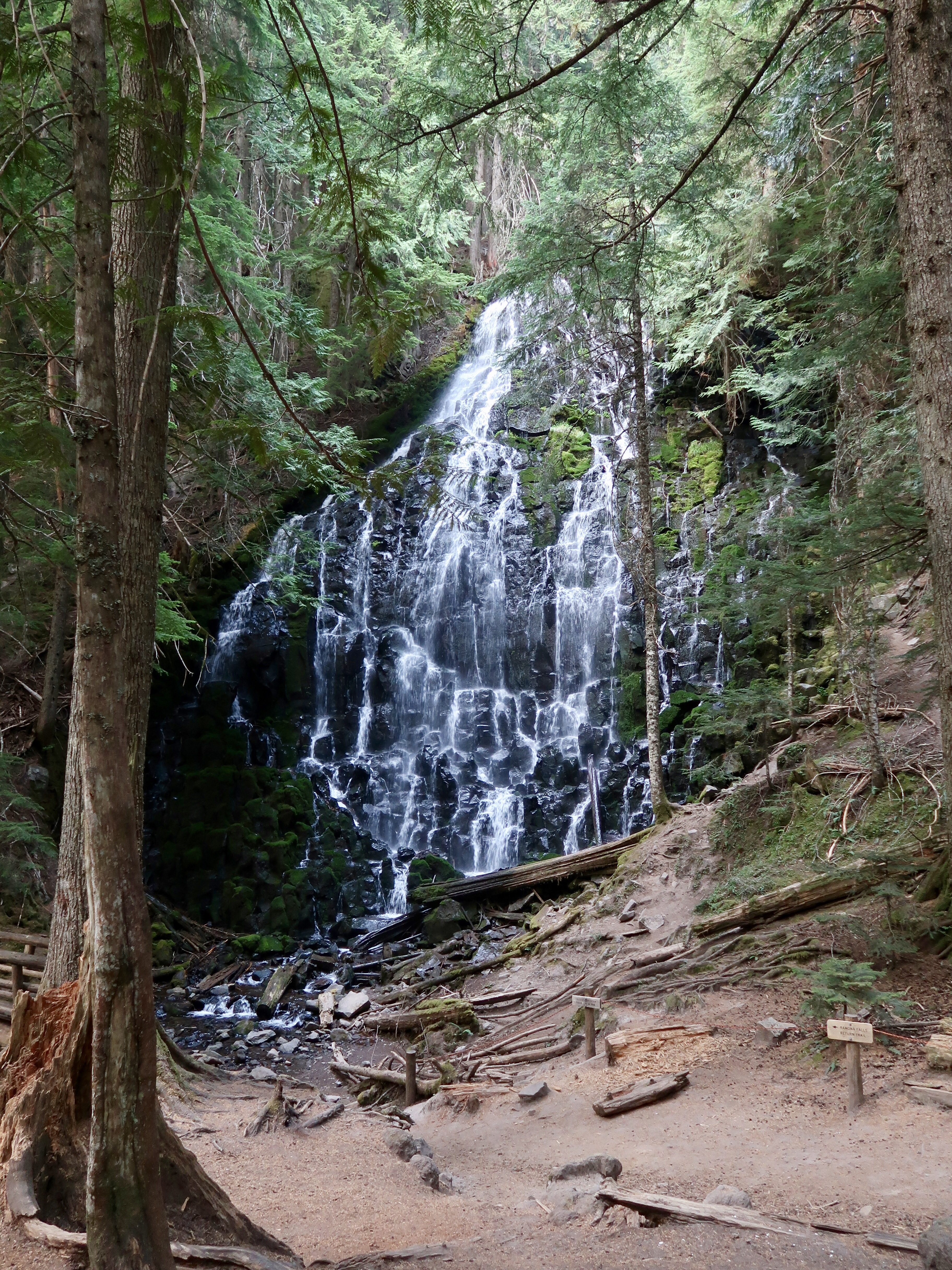
At the junction, another trail leads a half mile away to Ramona Falls and then meets up with the PCT 2 miles later. It’s a popular alternate for PCT hikers. We decided to check it out and headed over to the falls. Wow! It’s definitely one of the most beautiful waterfalls that I’ve ever seen. Water fans out widely over mossy rocks, cascading down into a stream below. I could feel the mist from the falls on my face as I drew closer. It was magical.
I followed the Ramona Falls alternate trail until it rejoined the PCT at Muddy Fork river and camped there for the night. It got dark as I hiked and I had to put on my headlamp so I didn’t trip over a root. I made dinner using the light from my headlamp and fell asleep quirky.
PCT 2017 Stats
PCT Day 138 – Tuesday August 29
Timberline Lodge Mile 2094.4 to Muddy Fork River Mile 2106.4
PCT Miles Hiked Today: 9.9 + 2.2 Miles Ramona Creek Alternate
Total PCT Miles Hiked: 1544.6
Feet Ascended Today: 1112
Feet Descended Today: 4275
Current Elevation: 2842
Steps: 43809
For more on my experience hiking the Pacific Crest Trail, visit my Pacific Crest Trail 2017 page:





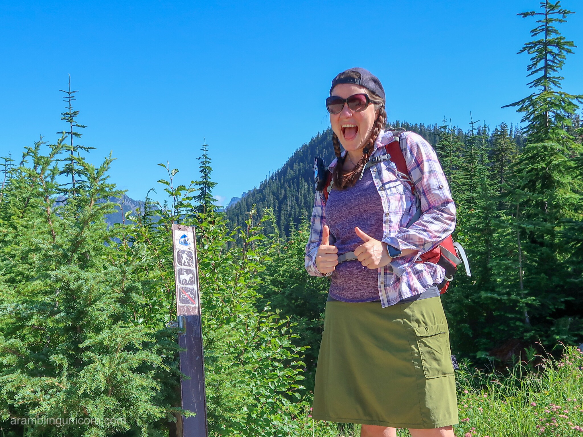
“…and fell asleep quirky.” 🙂
I’m so glad you got through this section before the Labor Day fires! Peace, my sister 🤗
Fell asleep quirky? I like that. I have a feeling you do that often 😀