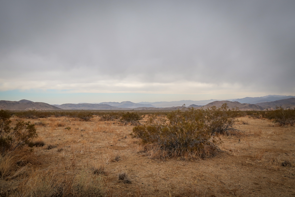
I glanced over my shoulder to find angry clouds gathering on the horizon behind me. It was my third day on the California Riding and Hiking Trail and up to this point all I’d seen was sunshine. Ahead of me, blue skies beckoned as I hiked east towards the Twin Tanks area of Joshua Tree National Park.
But not for long. Soon, dark clouds obstructed the entire horizon. The temperature plummeted and I realized that hiking alone wasn’t going to keep me warm. Shivering, I stopped to put on my puffy jacket and gloves.
And that’s when the snow started.
Table of Contents
Another Cold Night
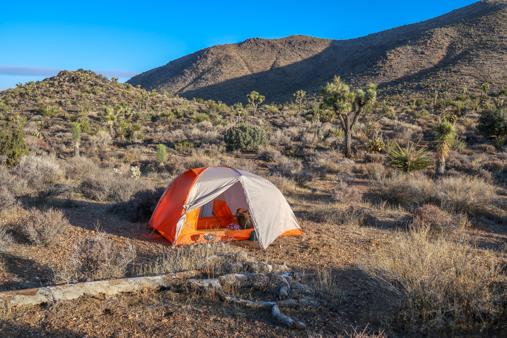
I woke up bright and early this morning, ready for a big day. It was another cold night on the California Riding and Hiking Trail, but I didn’t mind. After the freezing temperatures last night, I made some adjustments so that I wasn’t as miserable. I used up all of my remaining hand warmers and brought my water bottles inside the tent so the water wouldn’t freeze.
The most effective change, however, was putting hot water bottles into my sleeping quilt. My hiking buddy Sunkist recommended this trick back when we hiked the Pacific Crest Trail together in 2017. I’d never gotten around to trying it but figured now was the time.
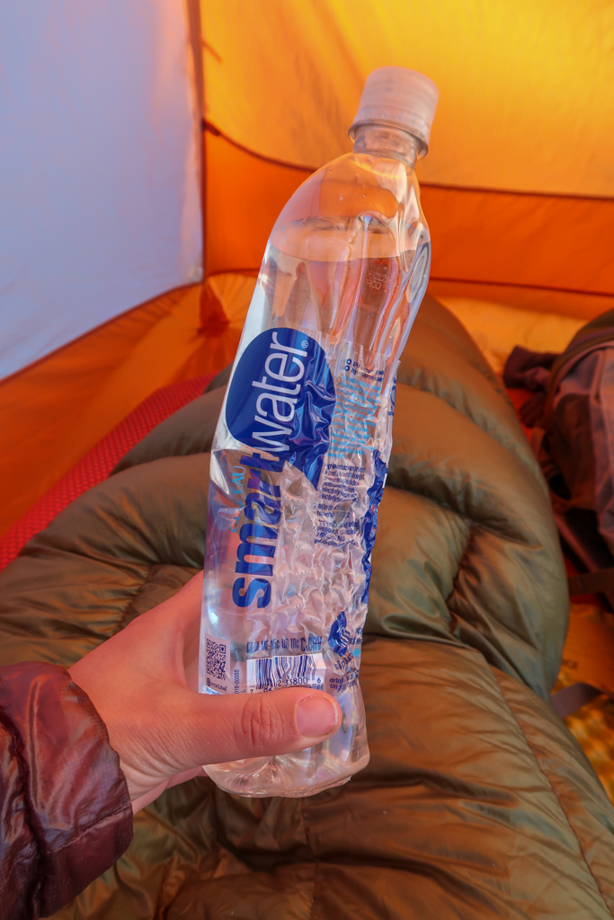
It worked like a charm. After slipping a hot water bottle into my quilt next to my toes , I was so happy with the results that I decided to make another one. This time, I made the mistake of boiling the water before pouring it into the bottle. I watched with horror as the scalding water melted the plastic until the entire container was wrinkled and warped. Oops!
Thankfully, the hot water didn’t melt a hole into the plastic and the bottle was still functional. Once I was certain that it wouldn’t leak, I put it in my quilt and sighed with relief as the warmth spread into my bedding.
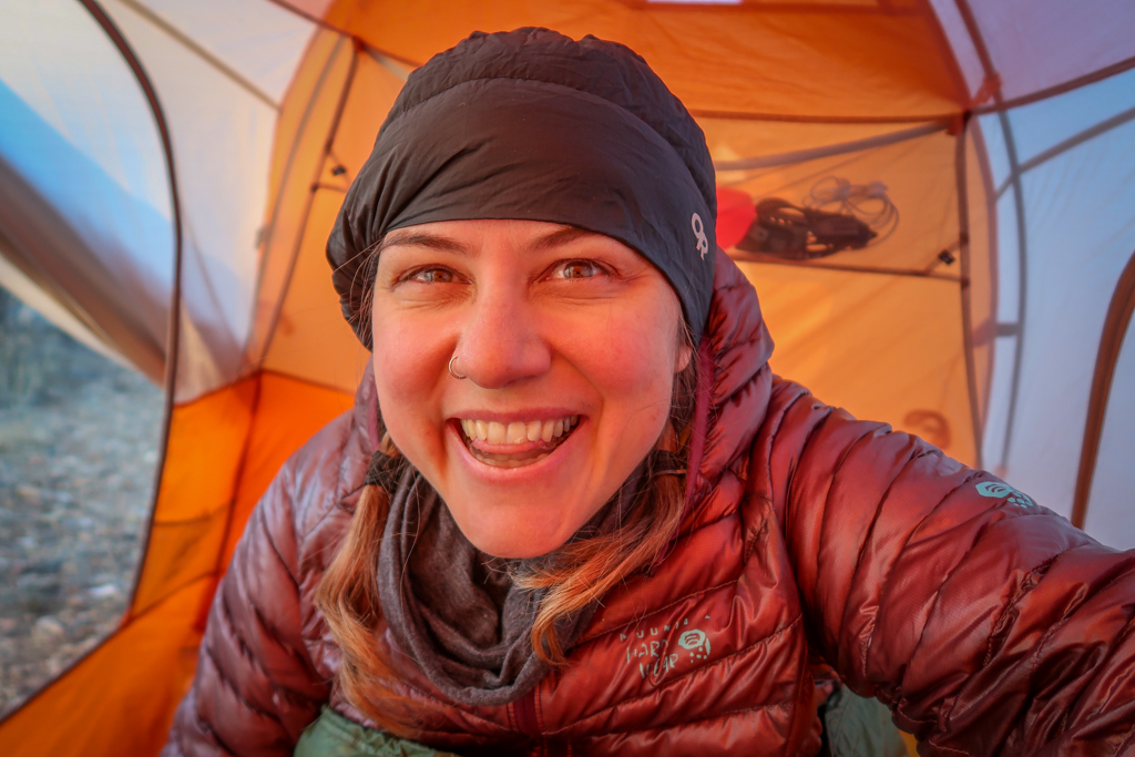
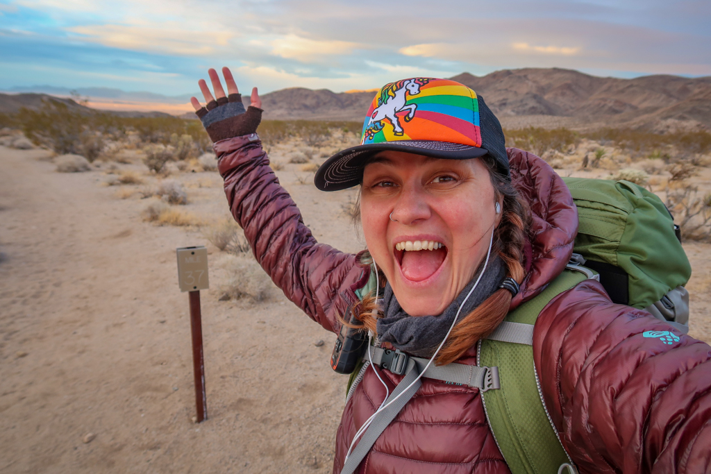
Good morning from the California Riding and Hiking Trail! It’s so early that I’m still wearing my night guard.
Onward to Twin Tanks through a Forest of Joshua Trees
Soon I was on the trail heading east towards Twin Tanks. I had a big day ahead of me – my biggest day yet in fact. I had to pull a 16-mile day in order to finish the entire California Riding and Hiking Trail. I didn’t really want to spend another night outside in freezing temperatures and was *really* motivated to finish today. So I planned to go fast.
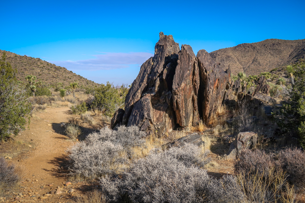
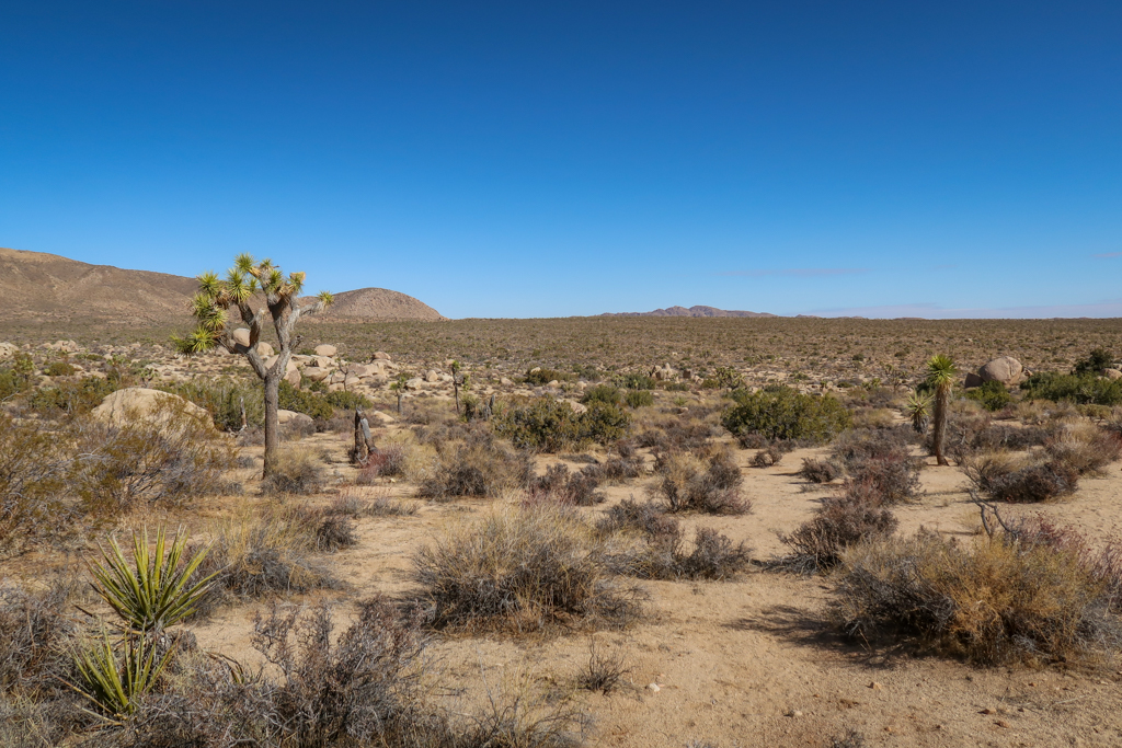
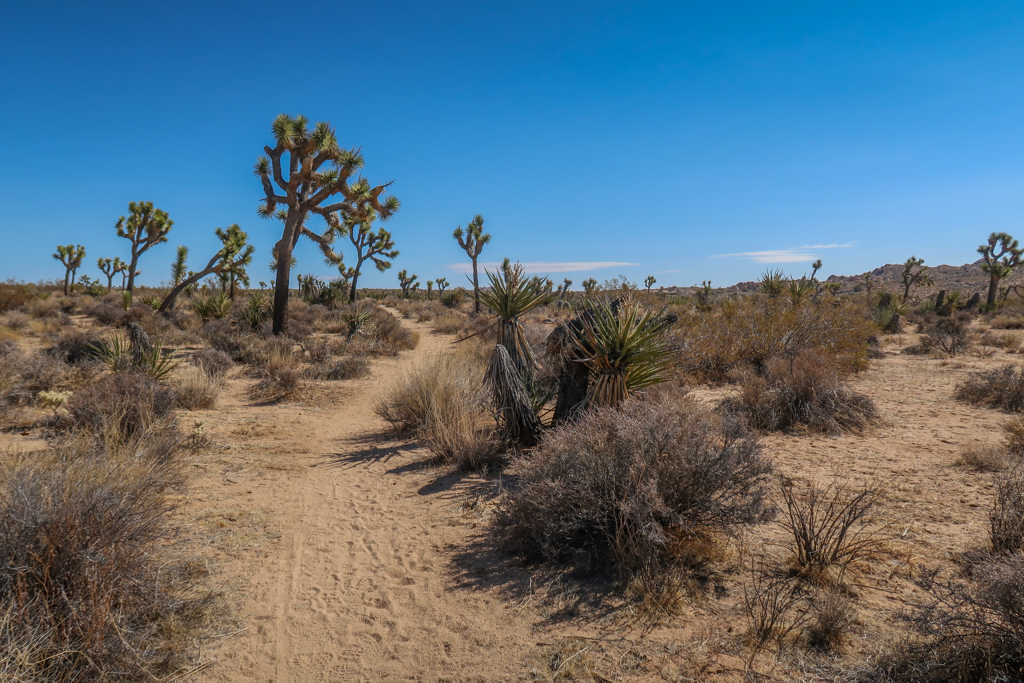
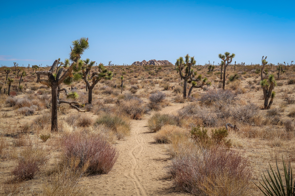
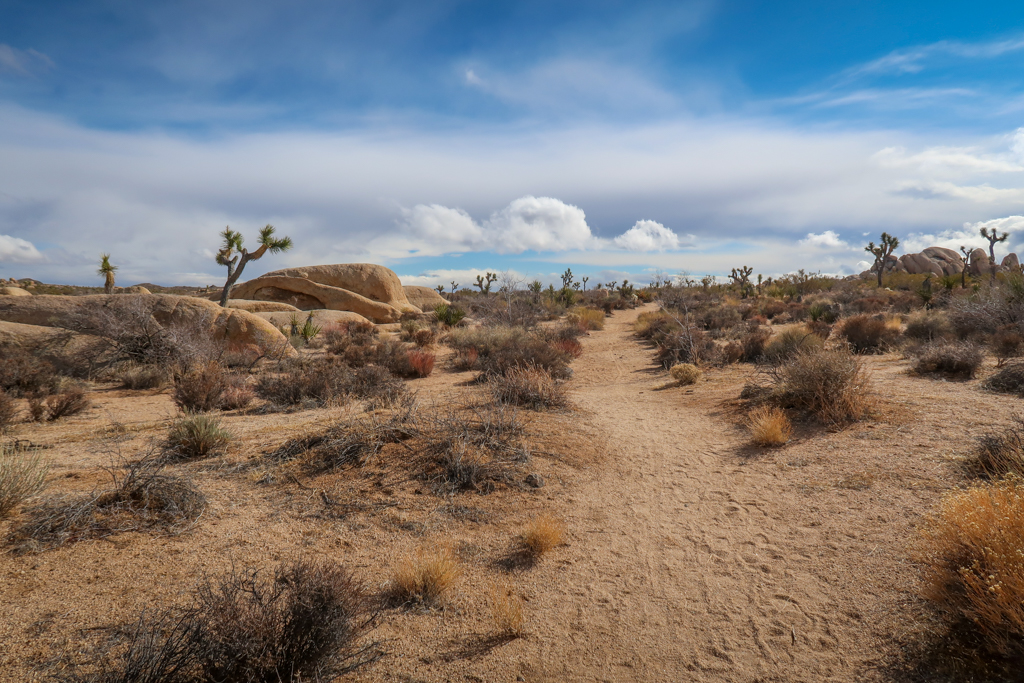
After hiking for a couple of miles past some interesting boulder formations, the trail dropped into a vast plain. A forest of Joshua Trees stretched into the horizon as far as the eye could see. I’ve been hiking in Joshua Tree National Park for two months now and I’m still not tired of these weird-looking trees.
Pretty amazing.
Geology Tour Road and Jumbo Rocks
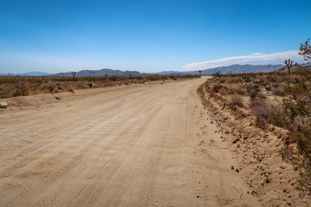
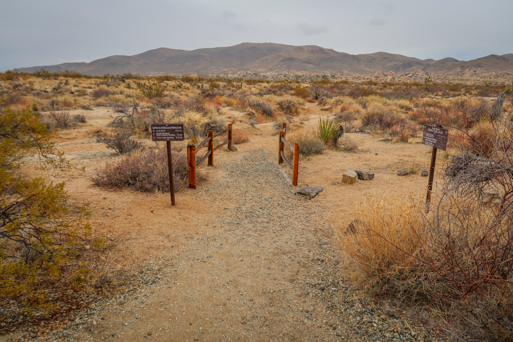
A few miles later, I passed my next major landmark on the California Riding and Hiking Trail: Geology Tour Road. The dirt road is an 18-mile self-guided tour through some of Joshua Tree’s most interesting rock formations. This is a popular spot to cache water as a trailhead and parking area are located at this intersection.
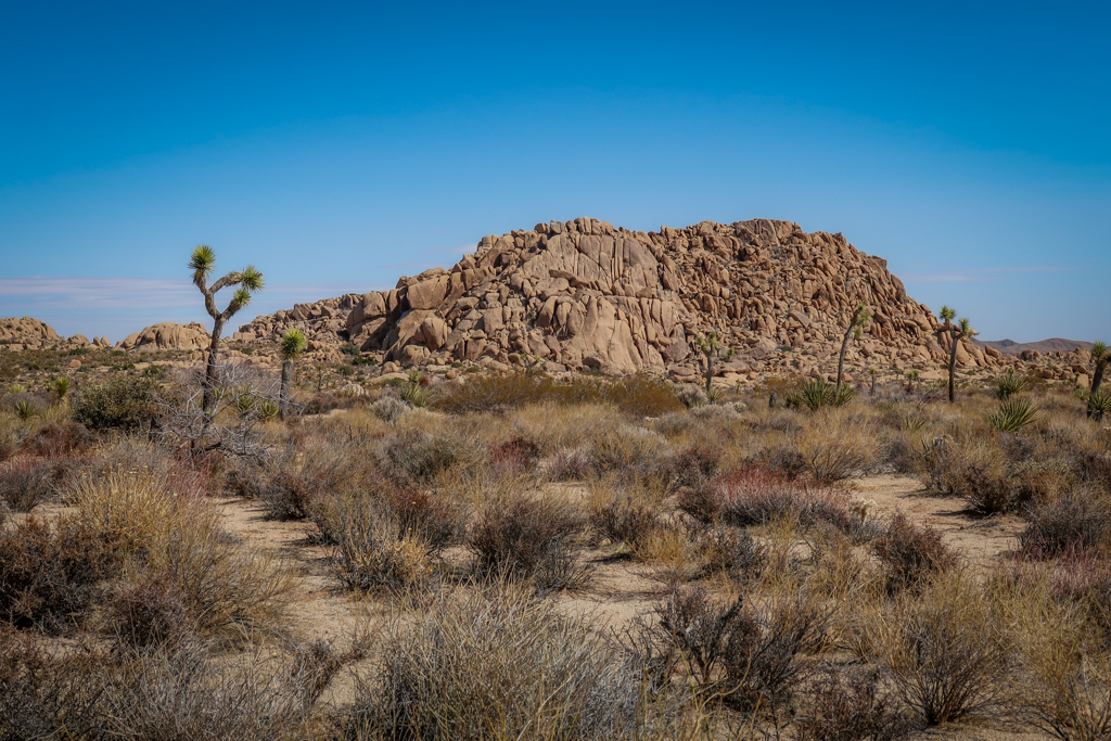
After crossing the road, I continued east towards Twin Tanks. For the next couple of miles I had a great view of the Jumbo Rocks formation to the north. I’ve visited Jumbo Rocks previously when I hiked the Skull Rock Nature Trail. One of the most interesting formations in the entire park, Skull Rock actually does vaguely resemble a skull.
This was my first time on the south side of the Jumbo Rocks formation however. It was fun to see the same area but from a different angle.
Hiking to Twin Tanks in a Snowstorm
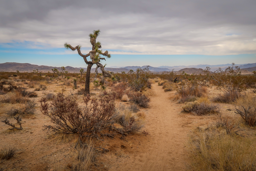
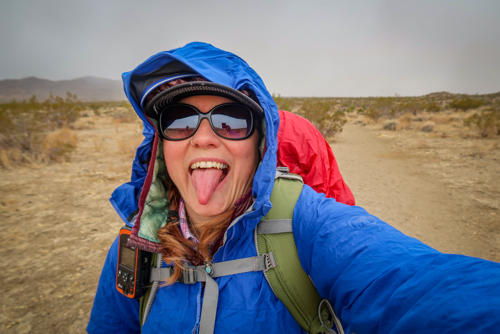
It was as I passed Jumbo Rocks that I noticed dark clouds on the horizon. I swear there were no clouds at all a few minutes earlier. The storm moved in fast and before long I had to stop and put on my puffy coat and rain gear.
I was completely caught by surprise when it started snowing. I had expected some rain, but snow? It doesn’t snow very often in Joshua Tree National Park.
Thankfully, the snow stopped falling before it had a chance to accumulate on the ground. I breathed a sigh of relief. I’ve visited Joshua Tree in the snow before and it was a magical experience.
But it was an experience that I was glad to skip today.
Twin Tanks
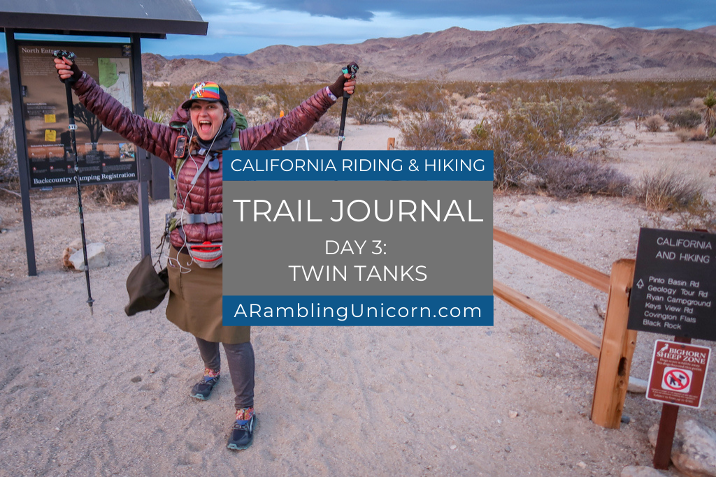
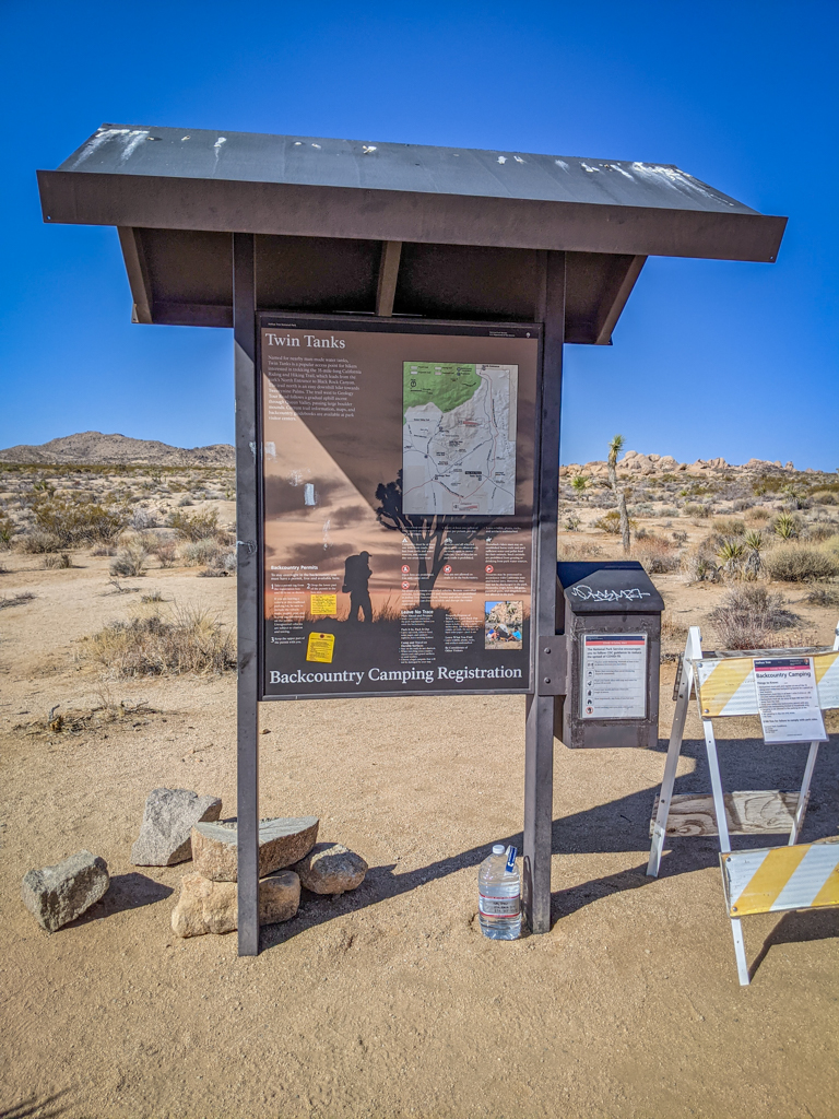
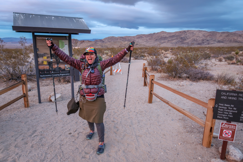
By the time I arrived at the Twin Tanks trailhead and Backcountry Camping Registration board, the snow had stopped. There is a large parking lot here as it is the best place to park when visiting Arch Rock. The Arch Rock formation is one of the most popular sites in Joshua Tree and is worth a visit if you haven’t seen it before. I’ve already seen it twice so I skipped the .4-mile trek.
I had cached my last water jug here and spent a few minutes topping off all my water bottles before continuing. While there are no dumpsters at Twin Tanks, there are garbage cans at Belle Campground which is only a mile up the trail. So I clipped the empty container to my backpack and threw it away once I arrived at Belle Campground.
The Last Seven Miles
While refilling my water at Twin Tanks, I checked the time. It was 1:30 pm. I had already hiked 8.5 miles, which meant I had 7.5 miles to go. No problem, I thought. I can do this! So I put in my headphones and powered on.
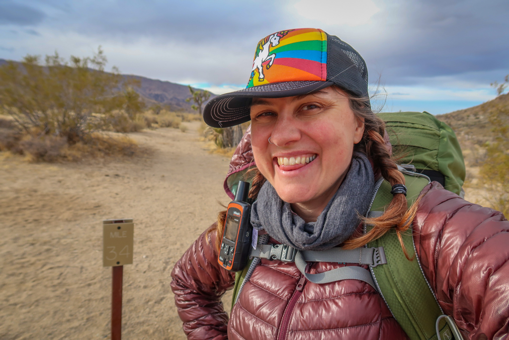
I was in the zone so most of the remaining seven miles were a bit of a blur. But I was happy to note that the California Riding and Hiking Trail mile markers had numbers on them again. They randomly started up again at mile #29 when I was in the middle of the snowstorm and continued all the way to the eastern terminus.
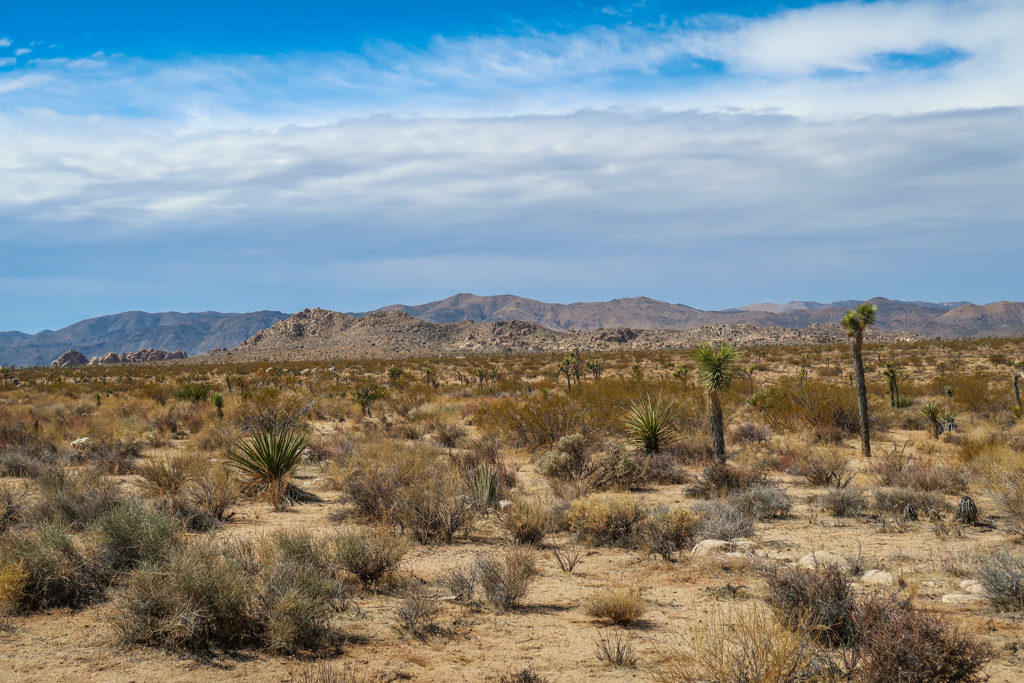
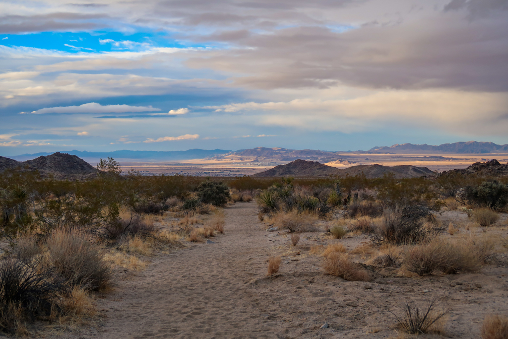
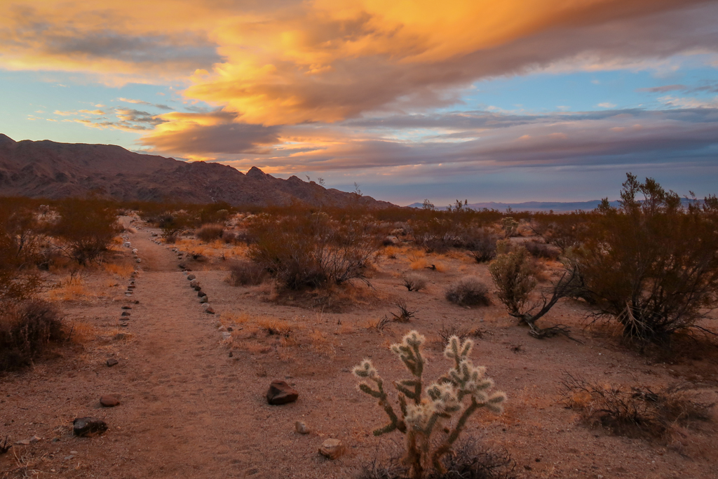
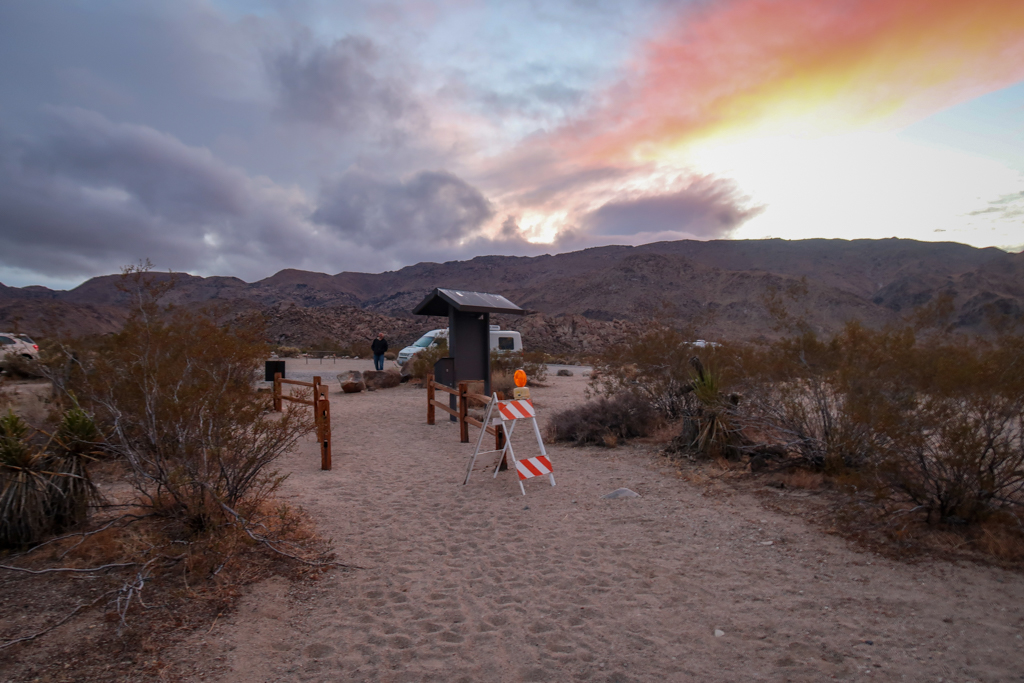
My favorite part about hiking this section was the last couple of miles. The trail heads due north here and descends into a valley with fabulous views of Twentynine Palms. I got to see a spectacular sunset as I sped towards the North Entrance trailhead.
The North Entrance
I finally arrived at the North Entrance trailhead just before 6:00 pm to find my sweetie Daniel waiting for me. I was tired and sore but happy. It felt great to finish the trail, and to do it a day faster than initially planned too. I couldn’t wait for a shower and a hot meal.
Hiking the California Riding and Hiking Trail was a fun experience, but if I do it again during this time of year I will bring a warmer sleeping bag.
California Riding and Hiking Trail Hiking Stats
- Date: March 3, 2021
- Distance: 16.2 miles
- Elevation Gain: 198 feet
- Ending Elevation: 2877 feet
- Ending Location: North Entrance Trailhead
- Steps: 48,402
This article is part of a series chronicling my experience hiking the California Riding and Hiking Trail in Joshua Tree National Park.
- The story begins here >> Day 1: Upper Covington Flats
- The story continues here >> Day 2: Juniper Flats
For more information about my hike, check out the following trail guide:
California Riding and Hiking Trail: An Epic Joshua Tree Backpacking Adventure
Additional Joshua Tree Resources
If you enjoyed this trail journal, be sure to check out my other articles about Joshua Tree National Park!
- Joshua Tree Day Trip: The Ultimate One-Day Itinerary
- Best Hikes in Joshua Tree: The Ultimate Hiking Guide
- Backpacking in Joshua Tree: Tips for Successful Wilderness Camping
- California Riding and Hiking Trail: An Epic Joshua Tree Backpacking Adventure
- 10 Fun and Quirky Things to Do Near Joshua Tree



0 Comments