
My breath formed into puffy clouds as I groggily unzipped the door to my tent. It was too cold to even think about getting out of my sleeping quilt, so I set up the camping stove just outside the door. I reached for my water bottle, only to find that the water had partially frozen. The contents were the consistency of a frozen slushy and barely managed to ooze into my cooking pot.
Wow. No wonder I was so cold the previous night.
Maybe it was time to rethink my plan for the day and head to Juniper Flats Joshua Tree.
Table of Contents
A Cold Night
Checking the weather forecast is something I always do before heading into the backcountry, and this backpacking trip was no exception. According to the weather report, the temperatures were forecast to be in the mid-30s each night of my trip. Brr.
That’s cold, but I’ve camped in colder weather before. I have a 10 degree sleeping quilt and a winter-rated sleeping pad. In fact, I sleep with 2 sleeping pads because I have old lady hips that like the extra cushioning.
So I was confident I’d be fine despite the cold temperatures. But just to make sure, I did some jumping jacks to get the blood moving before climbing into bed the previous evening. Then I donned all of my warm layers and burrowed into my sleeping quilt so that no part of my skin was exposed to air.
But it was not enough. I shivered all night long and slept fitfully. Thankfully my husband Daniel bought some pocket-sized handwarmers the day before I hit the trail or I might have been *really* miserable. I put one in each sock and glove so that at least my fingers and toes didn’t freeze.
Would anyone like a slushy for breakfast?
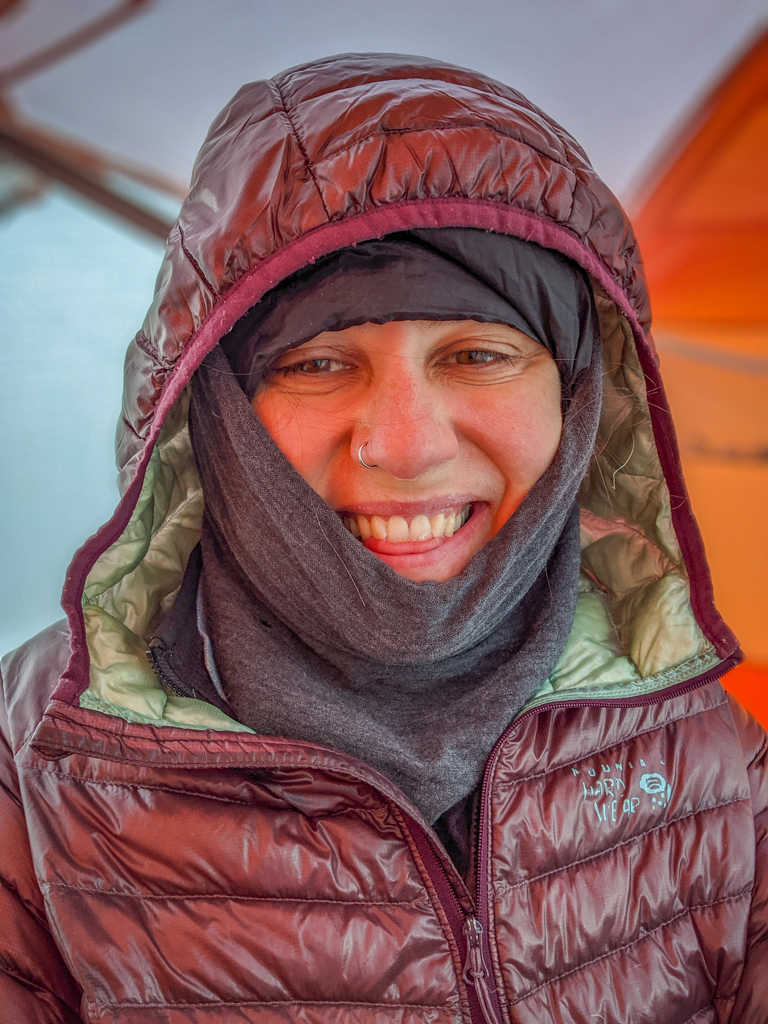
Yep. It’s cold.
Frozen Water Bottles
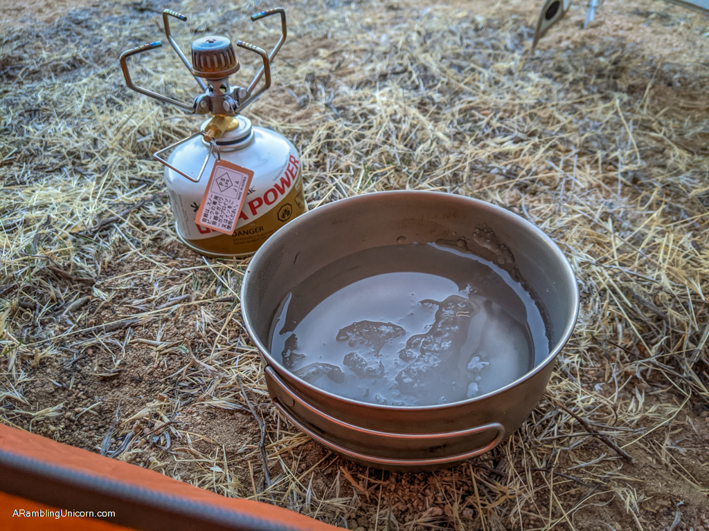
I hadn’t realized exactly *how* cold it had gotten, however, until I saw the slushy contents of my water bottle. Yikes! I turned on my backpacking stove and soon had a nice pan of hot water.
After some herbal tea and oatmeal, I felt ready to face the day. The sooner I packed up and got the blood moving, the better.
When I exited my tent, I had another surprise waiting for me. The rest of my water supply was stored under a bush near the tent. I had initially planned to pick up the next cache at Juniper Flats tomorrow, so I had carried enough with water me to dry camp this evening.
All of my water was completely frozen. I’m not talking slightly frozen slushy water here either. The water was frozen solid.
Thankfully I had kept one bottle of water in my tent’s vestibule which had not frozen solid. The water was slushy, but at least I had *something* to drink to until my other water melted.
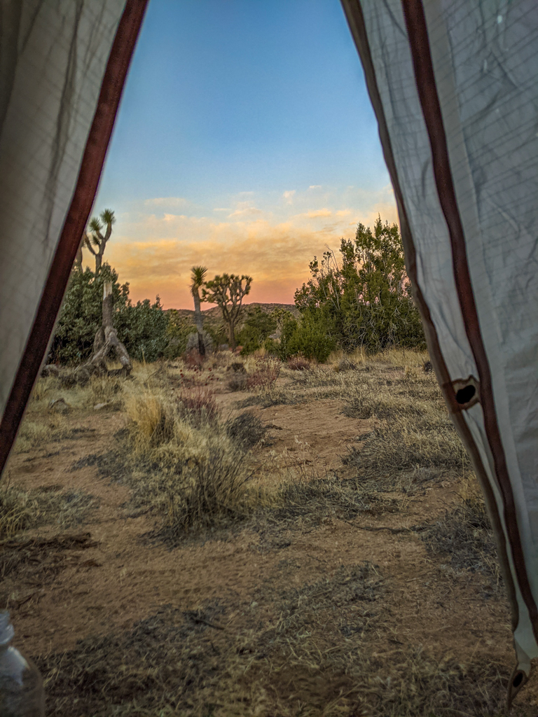
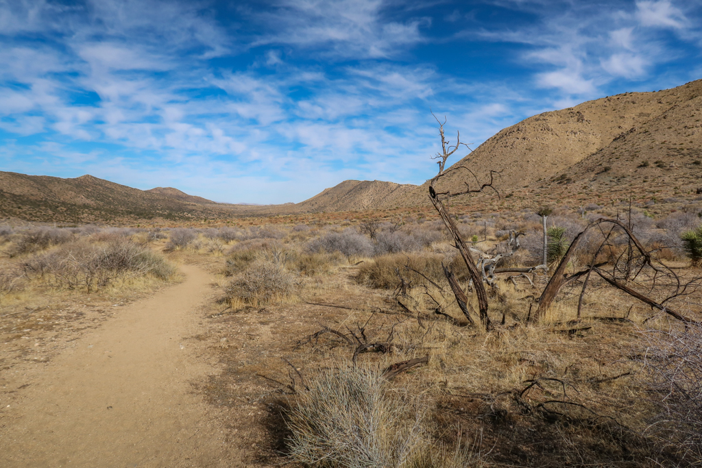
Not a bad view first thing in the morning, despite the cold temperatures.

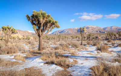
My campsite for the first night
The New Plan: Juniper Flats Joshua Tree
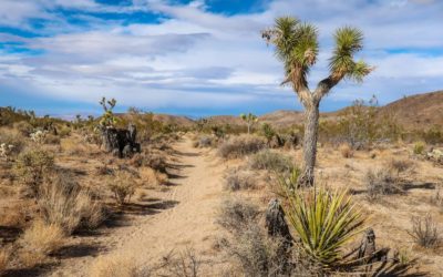
Soon I was on the trail and heading east. The first two miles were were fairly flat and I made good time. This section of the trail crosses a plateau to Quail Mountain which stands majestically on the other side.
As I hiked, I considered my situation. I loved every minute of hiking during the daylight hours – the weather was warm and sunny and the scenery was absolutely incredible. The nights were another story, however. I clearly did not have the right gear with me on this trip. The thought of spending two additional nights in freezing desert conditions was not appealing. At all.
Then inspiration struck. What if I hiked *really* fast and completed my backpacking trip in three days instead of four? That way I only had to spend one more night out here. I could handle one night, especially if I knew it was going to be the last one. Plus I could go crazy tonight and use up the rest of my hand warmers instead of rationing them.
Enamored with this idea, I did some quick math. I hiked 8.5 miles yesterday which meant I had 29 left to go. That meant I had to average 14.5 miles a day to finish the trail. Hmm. I haven’t attempted that kind of mileage since I hiked the Pacific Crest Trail in 2017. But why not? I felt healthy and my foot injury was not bothering me at all. It was worth a shot.
Next I considered my pack weight. If I hiked 15 miles today, that meant I would not need all the water I was currently carrying. I would make it to Juniper Flats Joshua Tree this evening and could pick up my water cache then.
So I stopped and poured out half of my water. Now that I was carrying less weight, it would be easier to hike faster and I would be less likely to injure myself. This also meant that I would not be able to dry camp tonight. I had no choice but to make it to Juniper Flats this evening.
There was no turning back now!
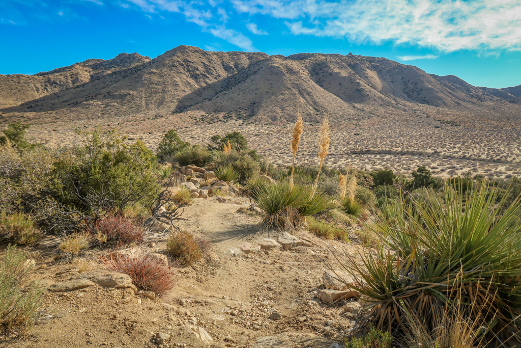
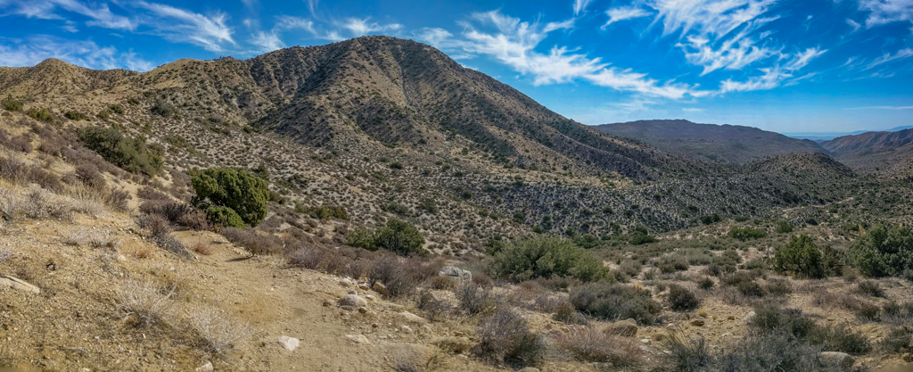
Descending to the plateau between Upper Covington Flats and Quail Mountain
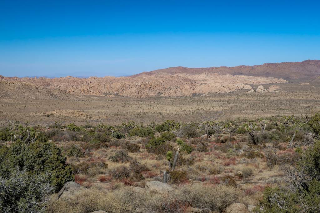
The plateau between Quail Mountain and Upper Covington Flats
Quail Mountain. You can see the trail at the base of the mountain descending down into the valley beyond towards Juniper Flats.
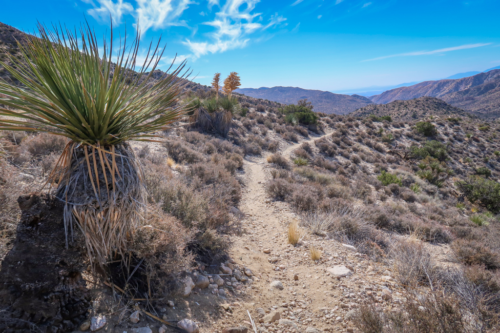
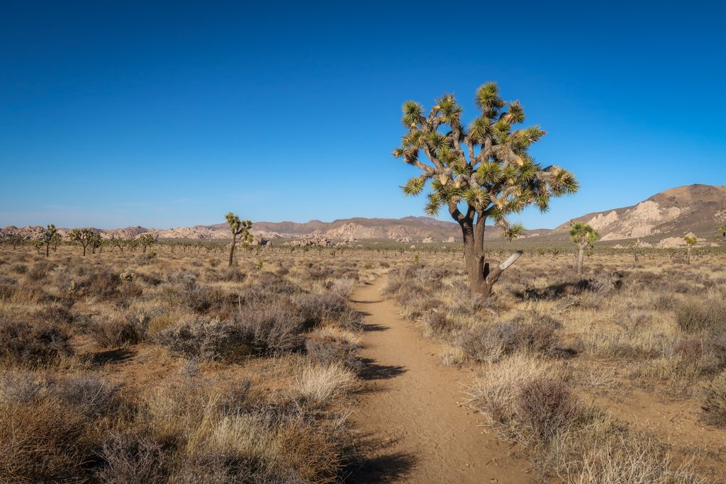
Hiking to Juniper Flats Joshua Tree
After passing Quail Mountain, the trail turns southeast and heads down a ridge for a mile or so. I was glad I used hiking poles to keep my footing in this section as the trail is rather rocky and exposed.
Once the trail reaches the bottom of the ridge, then it’s back up the other side again. This is the steepest part of the entire California Riding and Hiking Trail so I was glad to be getting it over with. This section is only slightly longer than a half-mile, however, so it’s not too bad.
Soon I crested the other side of the ridge and breathed a sigh of relief. It’s all downhill from here! Literally. There is no significant elevation gain to speak of on the California Riding and Hiking Trail for the remaining 23 miles.
So I amused myself again by taking photos of all the mile markers on the trail.
I am sad to report, however, that the mile makers do not all have numbers on them – at least not in this direction. When I reached mile 12, I found a post with no number on it facing west. The mile markers all have numbers on them for hikers going from east to west though.
This trend continued for the entire rest of the day. Weird. Oh well. (I still kept taking photos of mile marker signs though, because they are AWESOME).
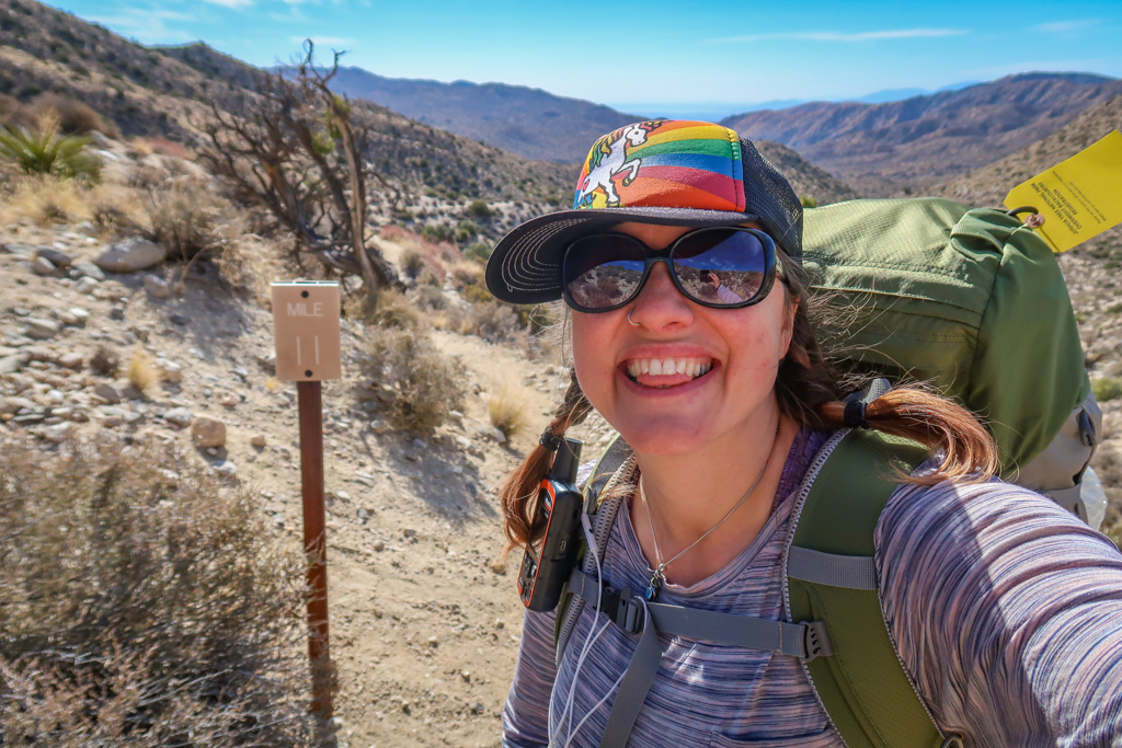
Milepost 11. Sadly, this was the last mile marker with a number on it.
Hiking down the ridge past Quail Mountain
Oh hey, it’s another milepost! Although there is no number on this side. Darn. This one is mile #15.
Overlook into the main part of Joshua Tree National Park
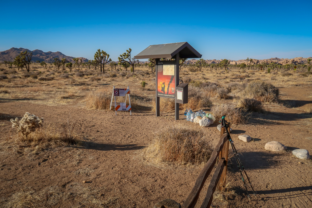
Juniper Flats Water Cache
Eventually I crested a ridge and could see the main part of Joshua Tree National Park stretching out before me. Mountains framed the valley floor which was dotted with a forest of Joshua Trees and random rock formations. I could also see Keys View Road and the Juniper Flats backcountry trailhead in the distance – my first glimpse of civilization in a couple of days.
I reached Juniper Flats Joshua Tree around 4:00 pm and grabbed my water water cache. There were two gallons waiting for me which was way more than I needed, especially since I decided to cut my trip short. Not sure what to do with the extra water, I ended up dumping it out. I guess I could have left it behind for other hikers but I didn’t want to create trash.
Now I had three empty gallon water containers with me. Thankfully they aren’t very heavy so clipped them to the back of my pack.
Approaching the Juniper Flats area.
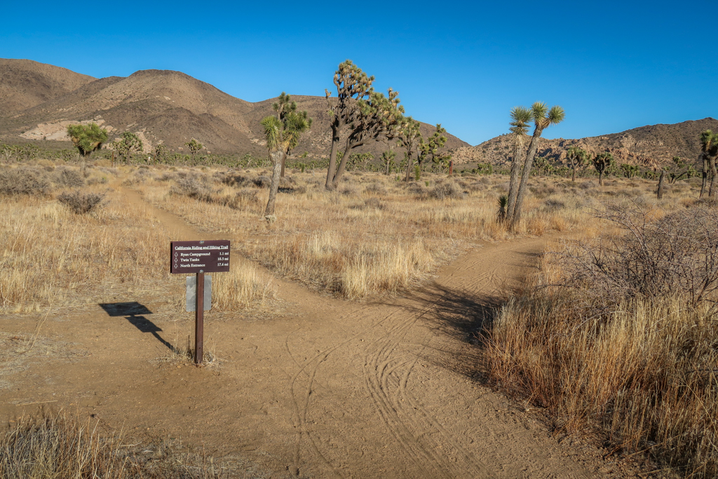
Juniper Flats trail junction
Juniper Flats trailhead.
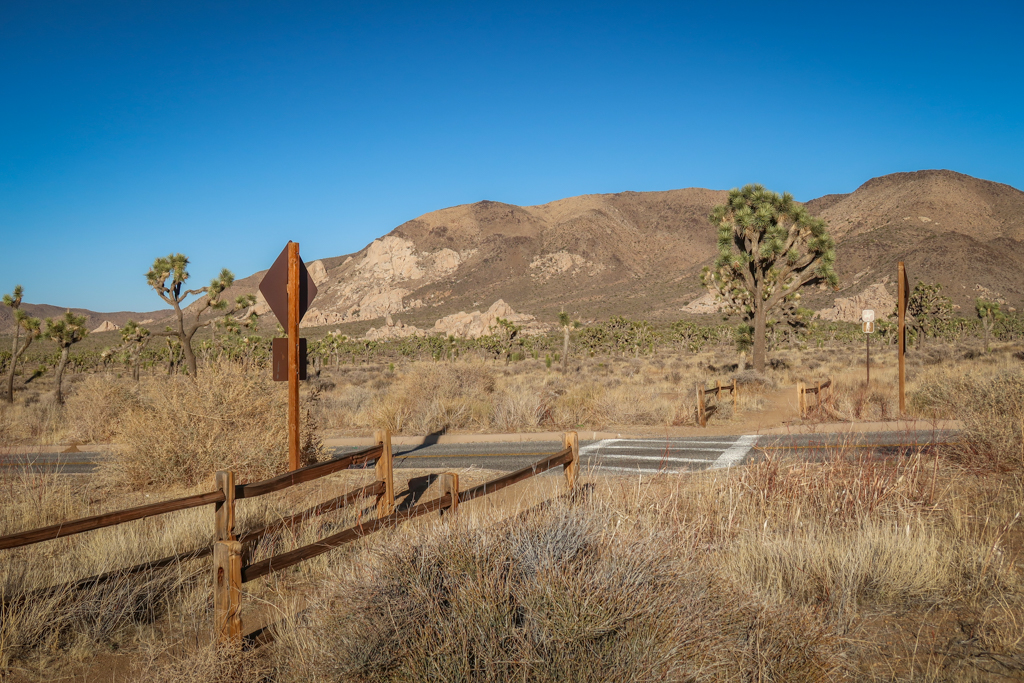
Keys View Road, the first main road crossing on the California Riding and Hiking Trail.
Ryan Mountain Campground
After grabbing my cache at Juniper Flats, I crossed Keys View road and headed east towards Ryan Mountain Campground. The trail goes all the way to the campground which is great because the campground has dumpsters (and vault toilets!) I was very happy to get rid of all my trash and the three empty water containers at the Ryan Mountain Campground.
Wilderness camping is prohibited near campgrounds and trails so I hiked east. I made it all the way to mile 21.5 before it got too dark to keep going. It was time to call it a night.
All in all, I ended up hiking a total of 13 miles today. Not bad! I didn’t quite make my goal of 14.5 miles, but pretty close.
This meant I had to hike 16 miles tomorrow to finish the trail. Could I do it? I guess I’d have to see and find out!
Approaching the Ryan Mountain Campground, which is nestled at the base of those giant boulders.
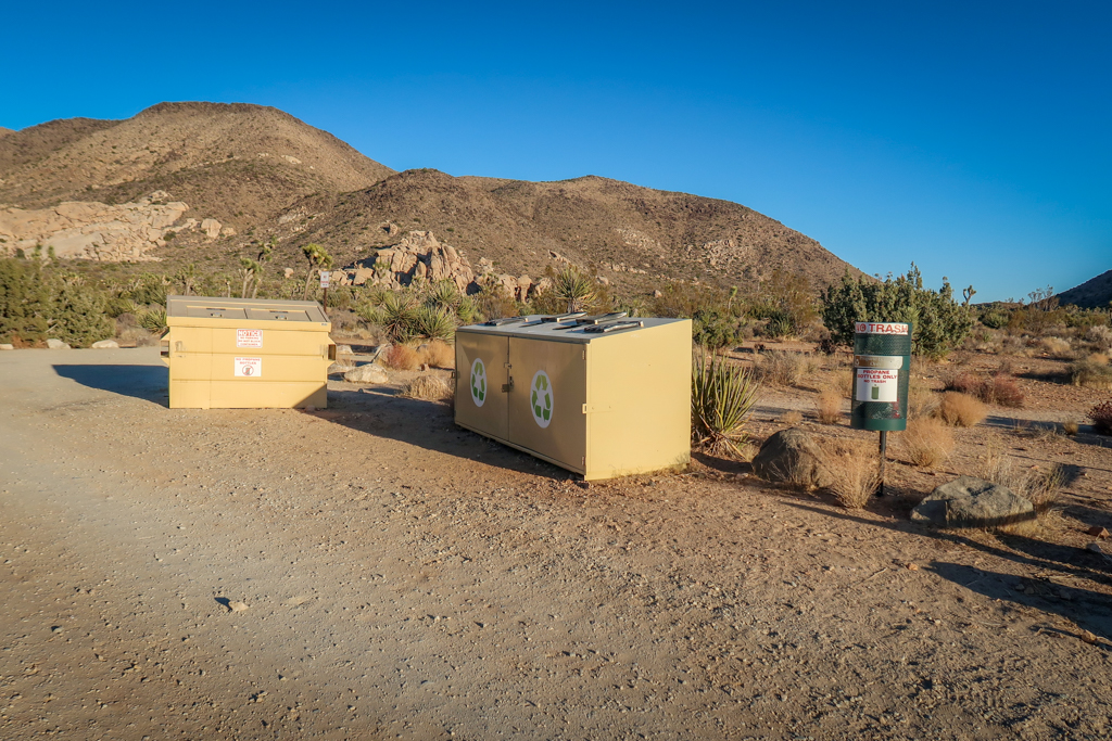
Garbage dumpsters? Don’t mind if I do!
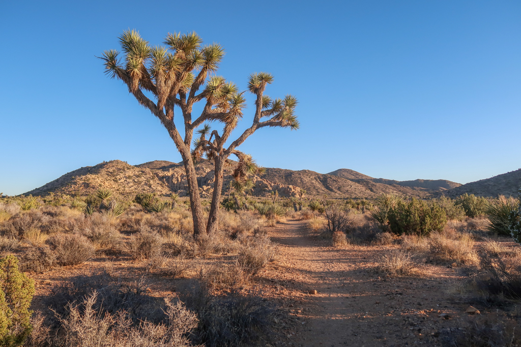
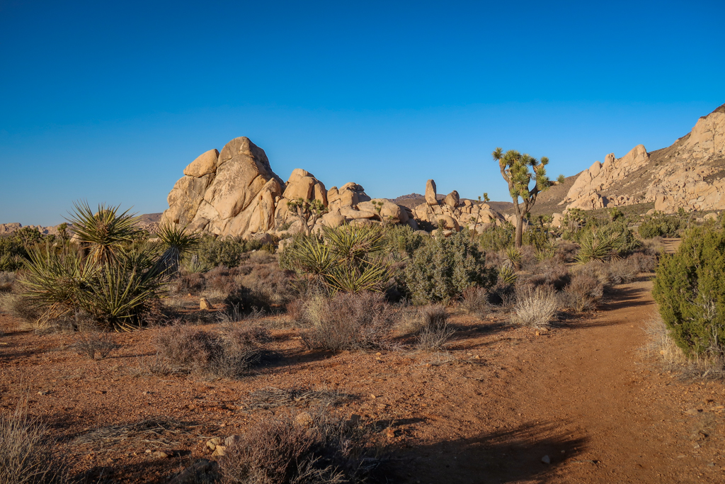
Joshua Tree at the golden hour.
California Riding and Hiking Trail Hiking Stats
- Date: March 2, 2021
- Distance: 13 miles
- Elevation Gain: 1229 feet
- Current Elevation: 4505 feet
- Location: 1.5 miles past Ryan Mountain Campground
- Steps: 44,032
This article is part of a series chronicling my experience hiking the California Riding and Hiking Trail in Joshua Tree National Park.
- The story begins here >>Â Day 1: Upper Covington Flats
- The story ends here >> Day 3: Twin Tanks
For more information about my hike, check out the following article:
California Riding and Hiking Trail: An Epic Joshua Tree Backpacking Adventure
Additional Joshua Tree Resources
If you enjoyed this trail journal, be sure to check out my other articles about Joshua Tree National Park!
- Joshua Tree Day Trip: The Ultimate One-Day Itinerary
- Best Hikes in Joshua Tree: The Ultimate Hiking Guide
- Backpacking in Joshua Tree: Tips for Successful Wilderness Camping
- California Riding and Hiking Trail: An Epic Joshua Tree Backpacking Adventure
- 10 Fun and Quirky Things to Do Near Joshua Tree
Like this Trail Journal? Pin it!

0 Comments