Last night I was too excited to sleep because I couldn’t wait to start my hike at the PCT southern terminus. So I woke up tired. I had woken up in the middle of the night and had trouble going back to sleep, so I got up at 3:00 am and wrote a letter to myself. In the letter, I gave myself a pep talk in case I get discouraged later on and want to quit the trail. (I got the idea from my Thru-Hiker 101 Class and also from the book Pacific Crest Trials). “JUST REMEMBER THAT YOU ARE A MAGICAL FUCKING UNICORN!!” I wrote.
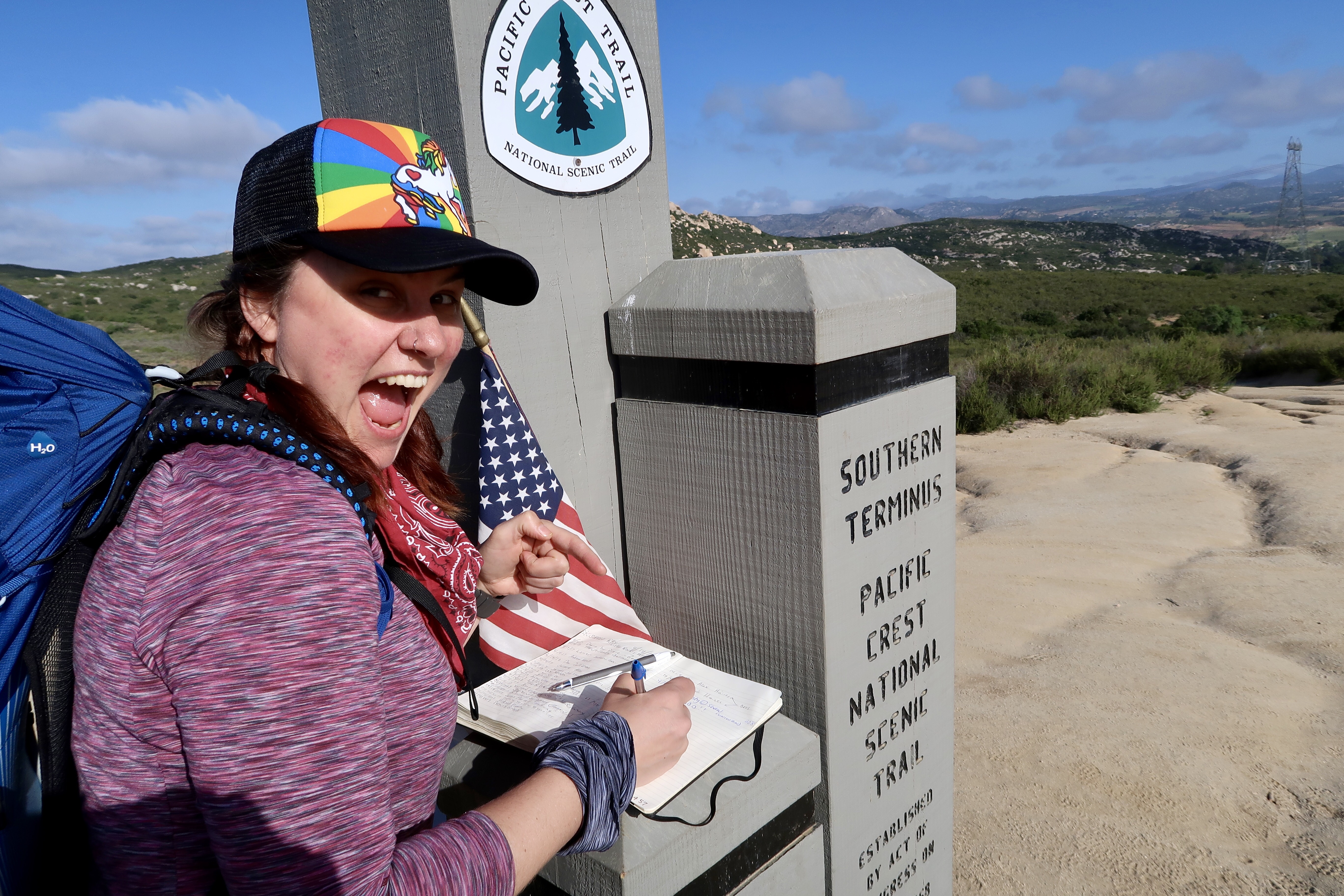
Signing the Register at the Southern Terminus
Alicia rustled us up some tasty scrambled eggs while I packed up. She recently travelled to India and came home with lots of spices and has been having fun incorporating them into her cooking. This morning she included turmeric into the eggs as it is known to help reduce inflammation. Sounds good to me as my achy joints need all the help they can get!
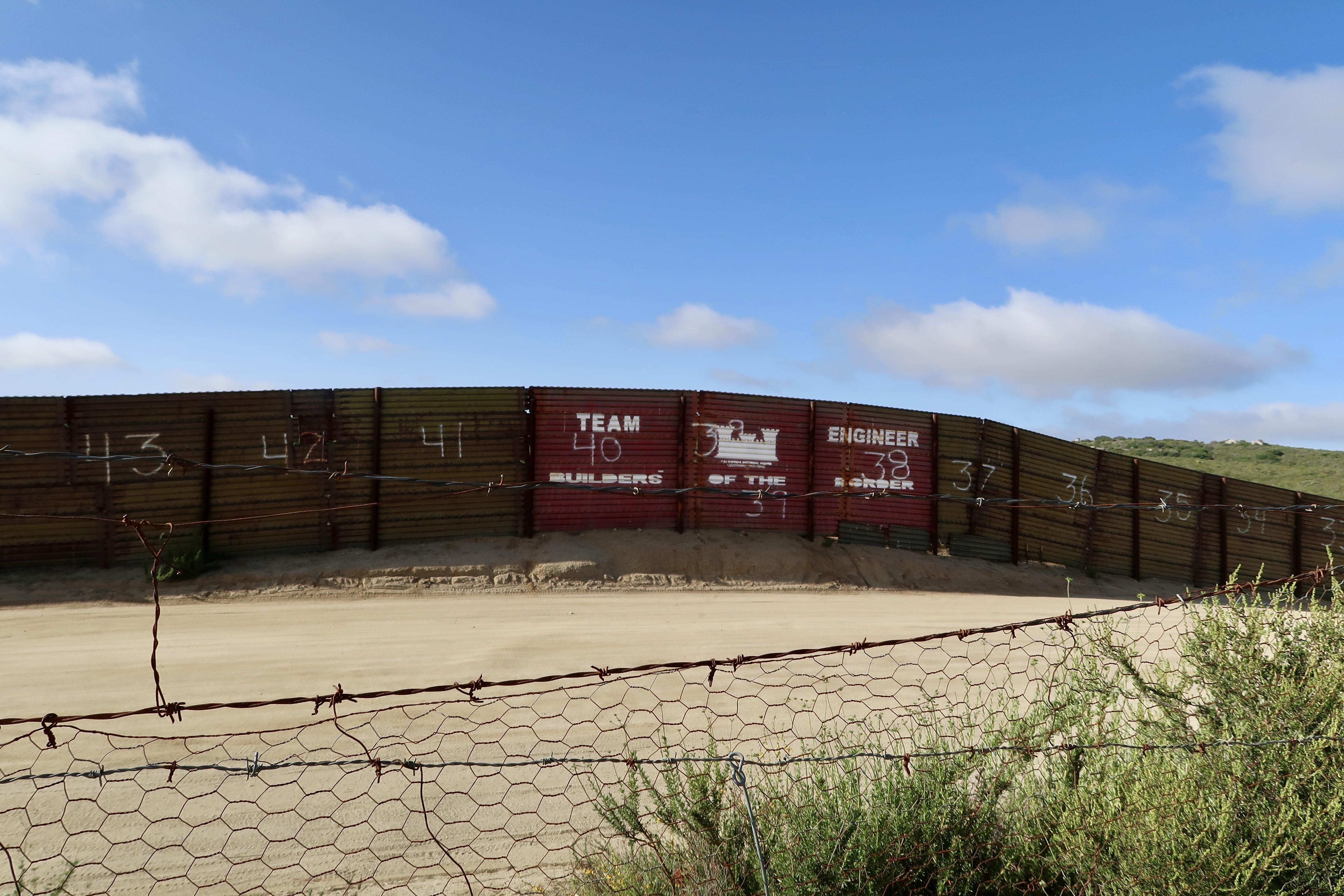
The Border Wall Behind the Terminus
We left her house around 7:45 am and headed to Von’s for Mission brand Gluten-Free Tortillas. I recently discovered this new kind of gluten-free tortillas that tastes almost like actual flour tortillas! They are the bomb. I had forgotten to pack some into my food bag and we tried to find them at Sprouts yesterday (a natural foods store) but all I could find were tortillas made out of brown rice that tasted awful and made me cry on the inside. I was very relieved to find them at Vons however.
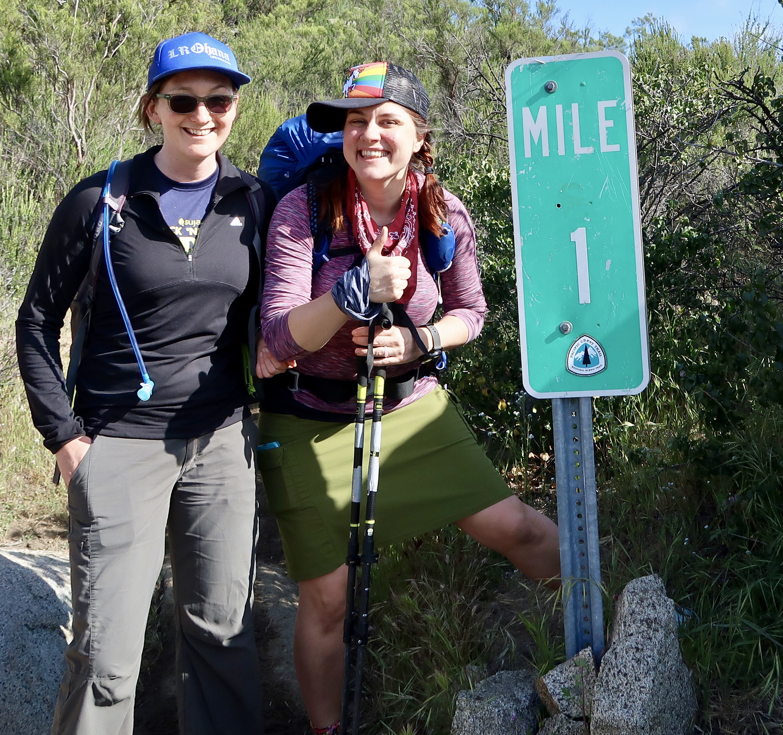
At the PCT First Mile Marker
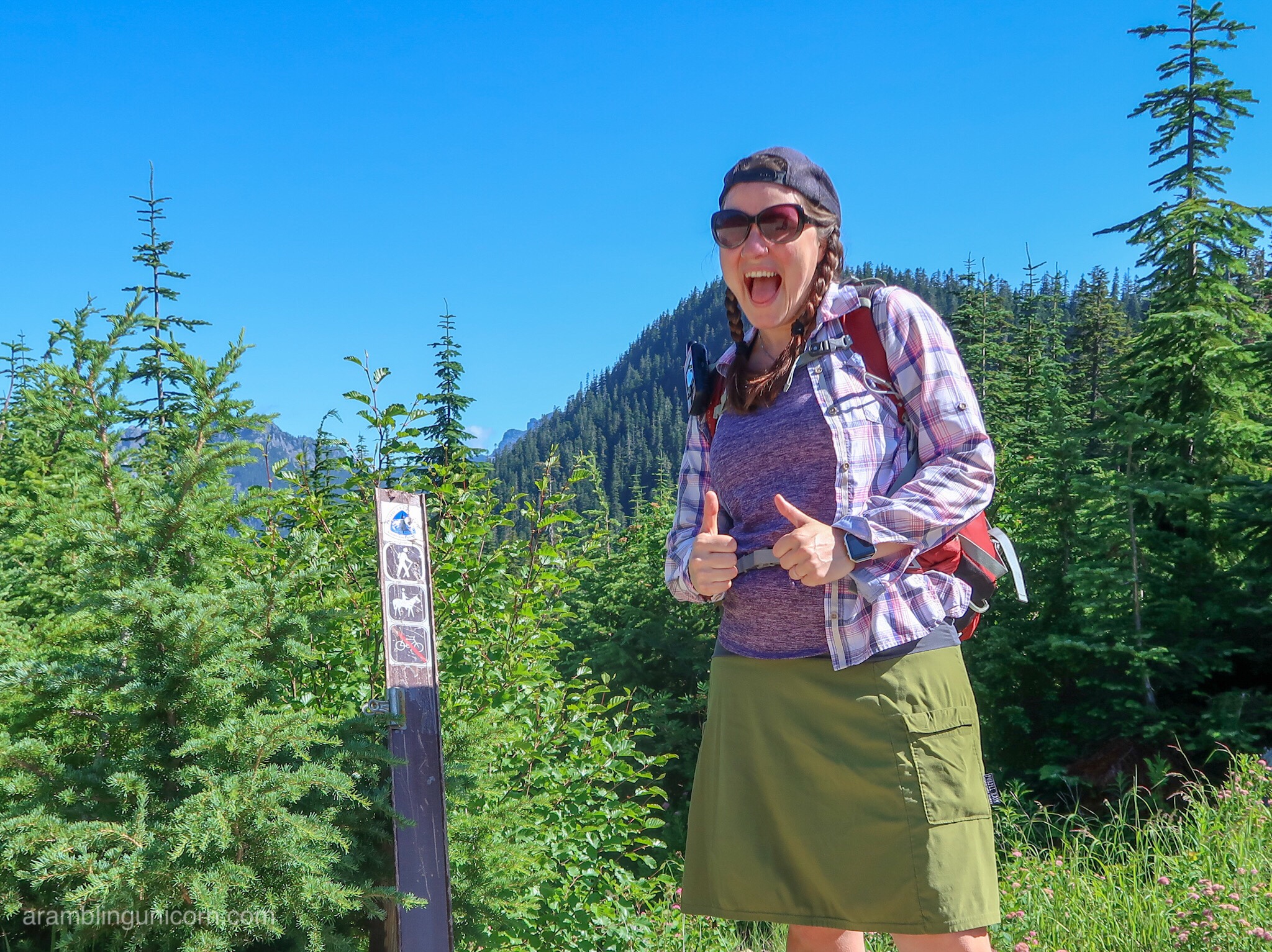
Soon we were on the road to the PCT southern terminus, which is about one hour east of San Diego near Campo, California. It was easy about to find using Google Maps. A hundred feet or so south of the terminus a giant ugly wall marked the border with Mexico. We ran into a few other hikers at the terminus, all taking photos and signing the register. Alicia planned to hike the first few miles with me (yay!) so we both signed the register and headed north. It took us a few minute to locate the trail but soon we were on our way.
It was a gorgeous day today – 70 degrees and sunny. Couldn’t have asked for better weather. At the one mile marker we ran into a group of hikers from Canada who graciously took our picture. The town of Campo is located just past mile one and has a small store available for resupplies but we had only been hiking for less than an hour so we stayed on the trail.
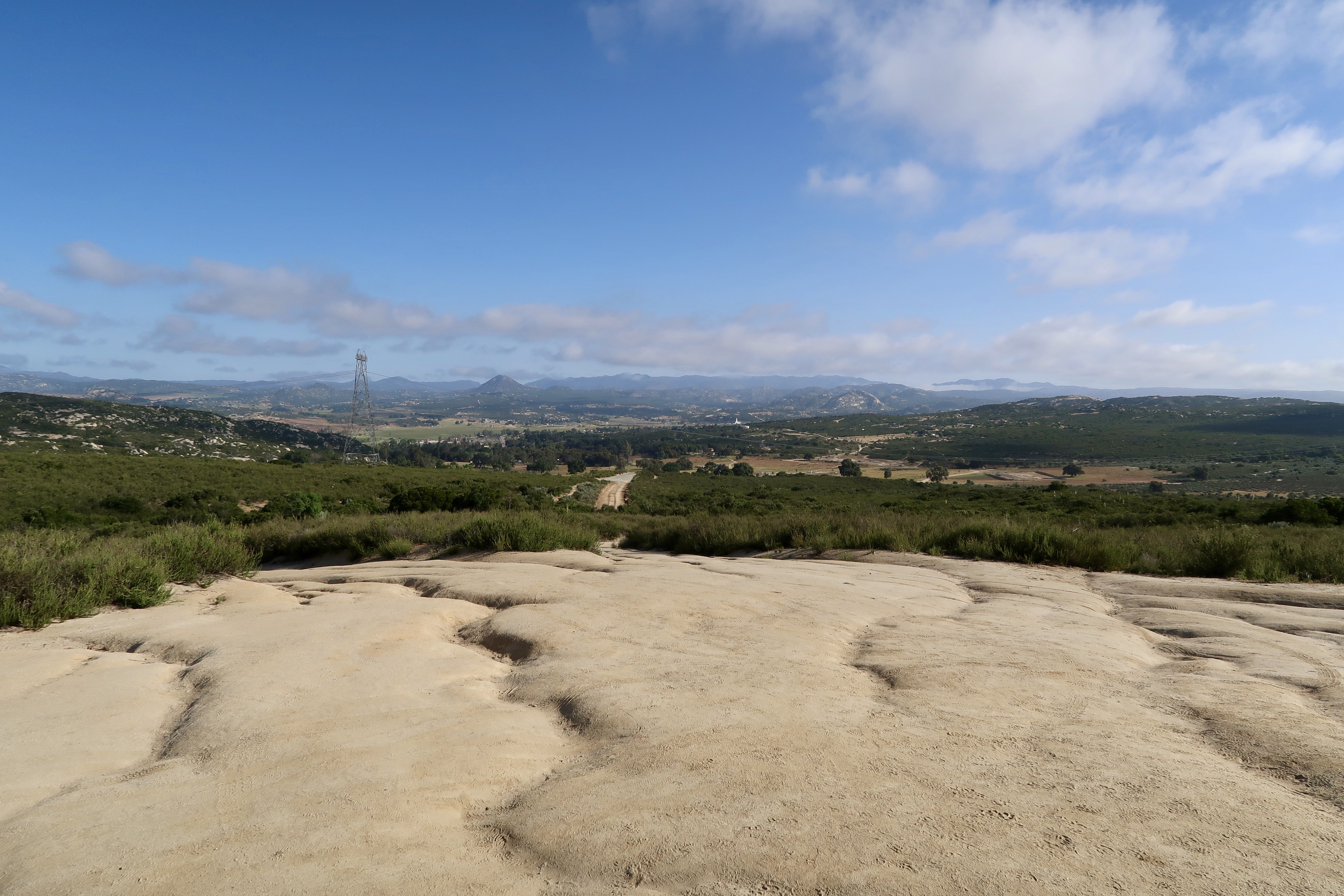
The View Northward from the Southern Terminus
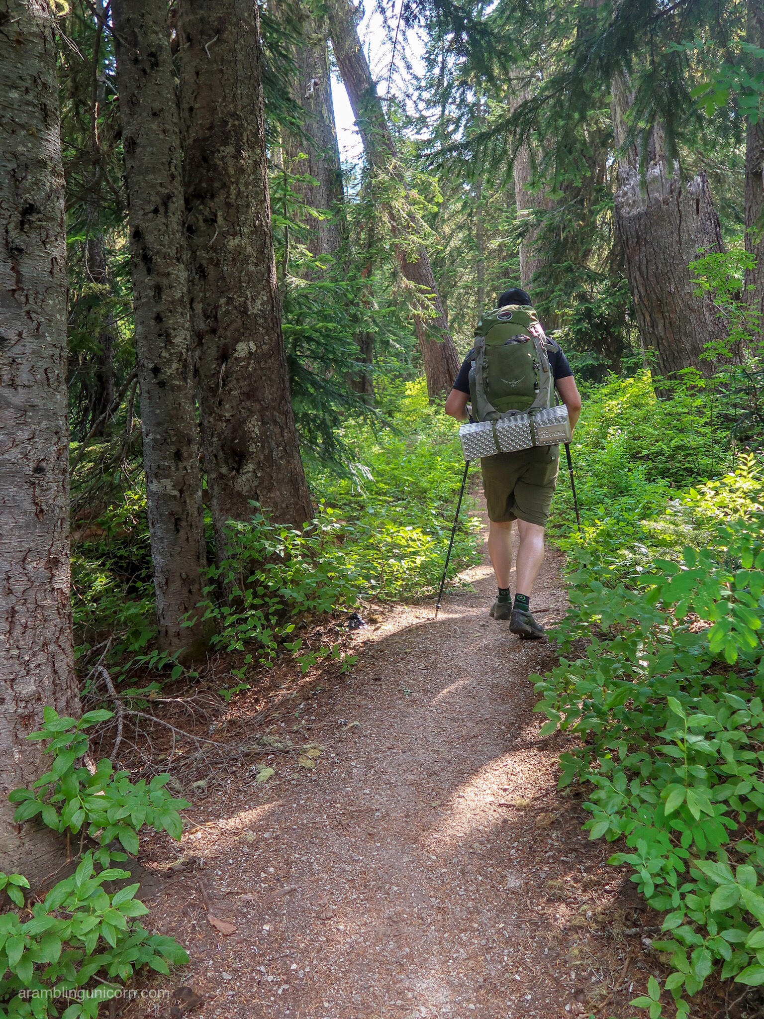
All the guidebooks warn of the difficulties of the first 20 miles of the trail – namely that there is no reliable source of water until mile 20 at Lake Morena. Hikers are cautioned to plan accordingly and it’s not uncommon for hikers to start off with 7 or 8 liters of water. Thanks to all the rain and snow we’ve had this year, however, creeks that typically have gone dry by now still have water to drink. I passed 4 or 5 small creeks my first day and found I didn’t have to carry much water at all, which kept my pack weight down.
Alicia hiked with me for the first 5 miles and then turned back. It was so nice having a hiking buddy to start the trail with. We hugged each other goodbye and I continued north. It was starting to get hot so I took out my umbrella and fastened it to my pack with some carabiners so I could still use my hiking poles with both hands. That hiking umbrella was a lifesaver today! I wasn’t sure when I packed it if I would use it but I absolutely love it!
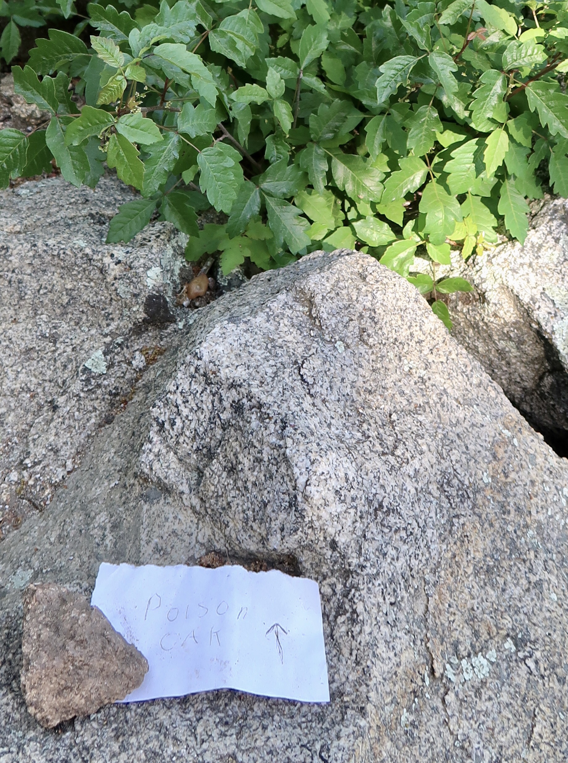
A warning about Poison Oak
At mile 6 I stopped for a lunch of gluten-free tortillas with peanut butter and jelly by a small creek (yum!). I met a couple of other hikers, Brydon and Greg, who I ran into a few more times throughout the day. The trail wound through a section of high desert that had burned recently, as many of the trees were blackened by fire.
My goal for the day was 10 or 12 miles. It’s not a high number by PCT standards, but I wanted to start slow and work up to the higher miles. Many PCT hikers go to Hauser Creek at mile 15 on their first day (or even to Lake Morena), and I considered it for a while. But by my 11th or 12th mile I was getting tired. I was wiped out.
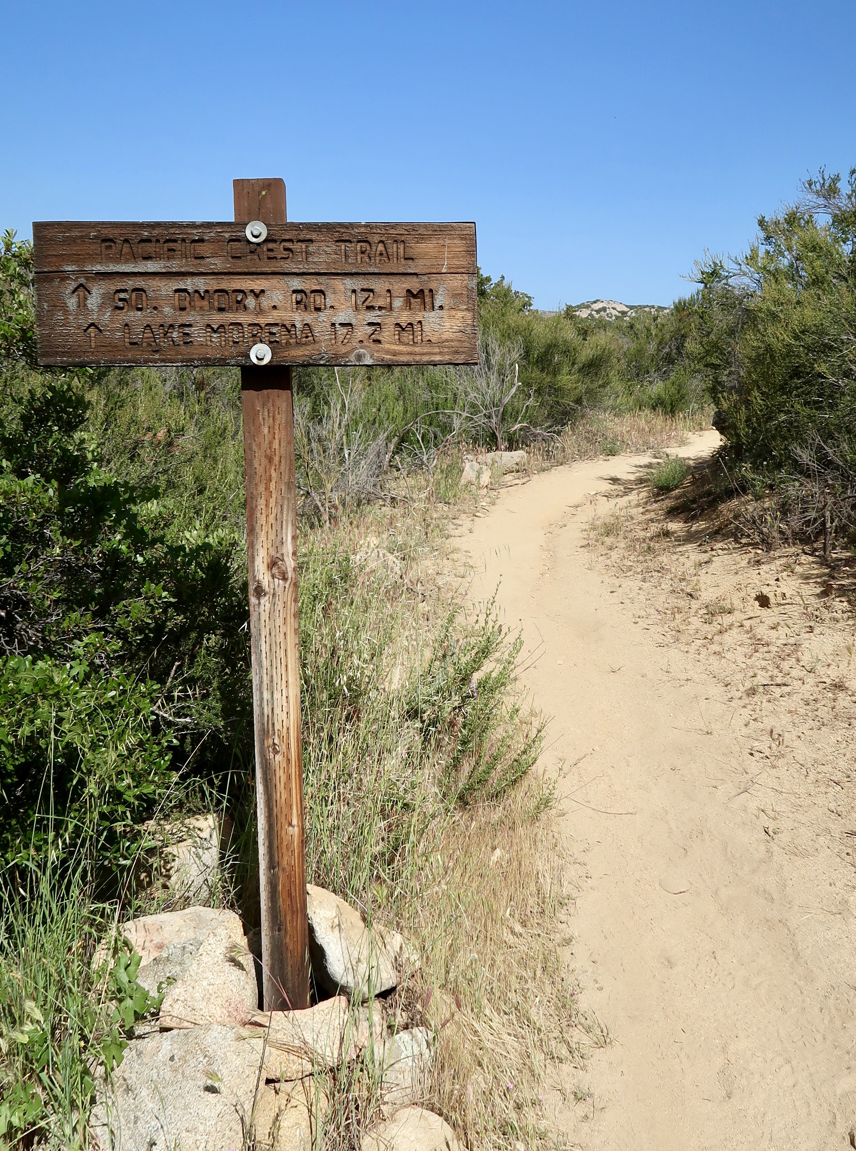
PCT Trail Sign
I plopped my tent down at the first reasonably flat surface I found which was only a few feet off the trail in a rocky canyon. My tent is one of my favorite pieces of gear on my PCT gear list and was glad to get it set up for the night.
I suddenly realized I was starving. I boiled water and added it to my freezer bag of dehydrated curry chicken with peas but was too impatient to let it sit long enough to rehydrate. It was rather crunchy when I ate it but I didn’t care. I was in my tent and asleep by 8:00 pm.
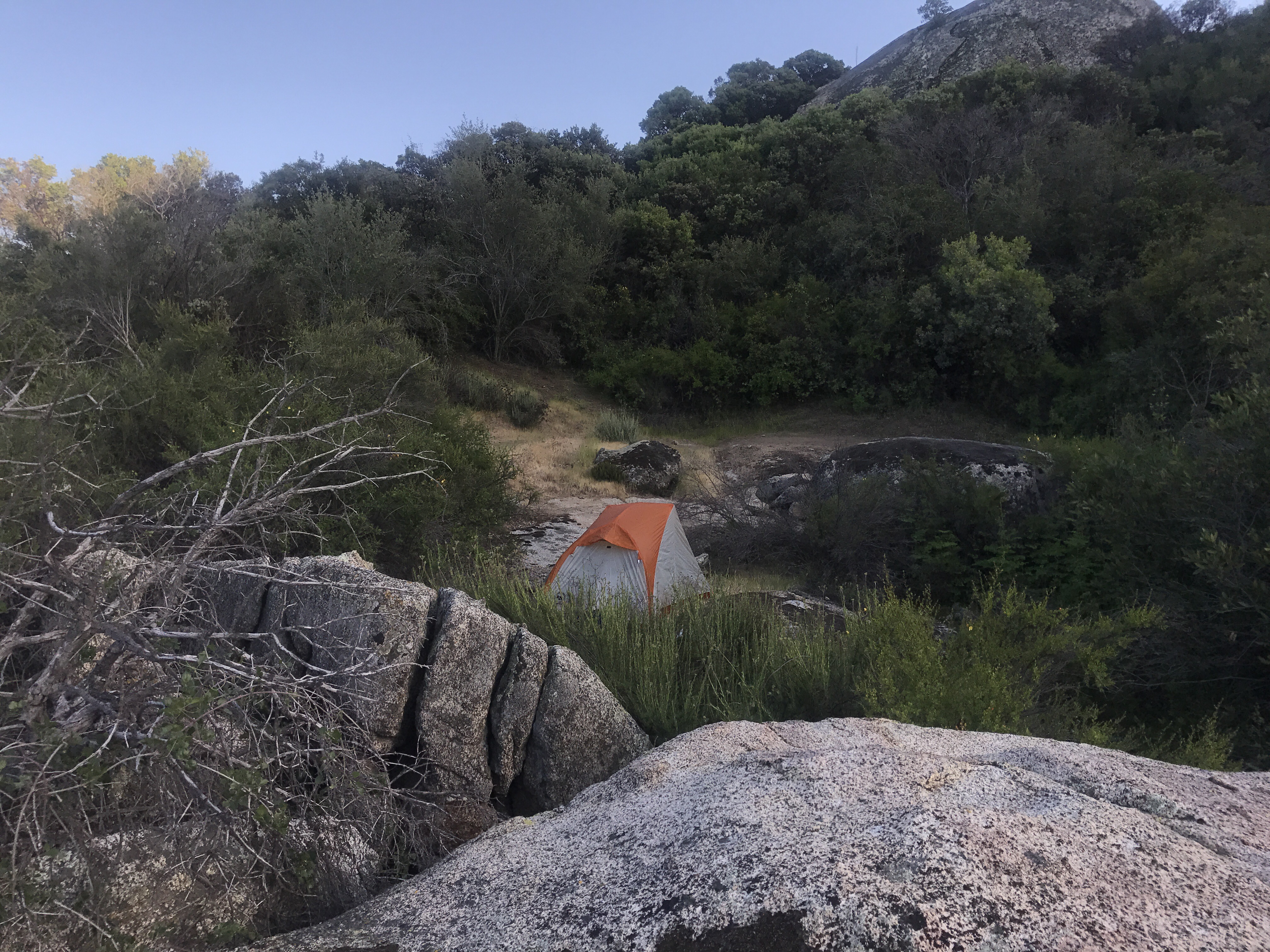
My First Camp Site
PCT 2017 Stats
Day 1 – PCT Southern Terminus to Mile 13.4
Date: April 14, 2017
PCT Miles hiked today : 13.4
Feet Ascended Today: 1695
Feet Descended Today: 1495
Current Elevation: 3095.1
Steps: 37450
For more on my experience hiking the Pacific Crest Trail, visit my Pacific Crest Trail 2017 page:


I don’t think you’ll have problems sleeping anymore. 🙂
I hope so! We’ll see 🙂
Happy trails!
Thanks!
I think you mean April 14th not 4th
Yep I did. Thanks going fast and trying to blog from the trail. I’m sure I’ll end up with lots of typos 🙂
This is so exciting and I’m so glad you had a buddy to start out with. I3 miles is great!