Mailbox Peak – Sunday, March 18
9.4 Miles
4000 feet elevation gain
Mailbox Peak has been on my bucket list for a long time. Located near North Bend in the area fondly known as “The Issaquah Alpsâ€, Mailbox Peak is one of the more popular hikes near Seattle. And it’s also one of the most challenging – at 9.5 miles roundtrip with a 4,000-foot elevation gain, it’s not for the faint of heart.
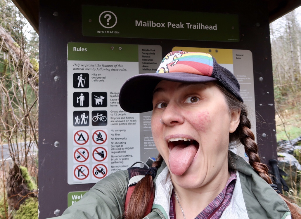
Let’s get this party started!
I’ve been wanting to do this hike for a couple of years but I never felt confident that I was in good enough shape to attempt it. And honestly I was probably right. But now, after hiking the PCT last year and doing some warm-up hikes over the winter months, I decided that today was the day. It was time to conquer Mailbox Peak.
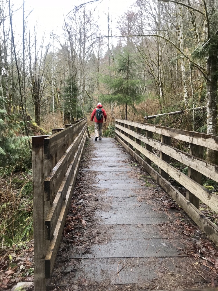
Crossing a Bridge Near the Beginning of the Trail
Halfway agreed to join me on my adventure and we hit the trail around 9:45 am. The upper and lower parking lots were just about full, despite the fact that the sky was overcast and that it was lightly raining. Soon we were on our way and climbing up the trail as it wound through mossy forests. We hit the first patches of snow around 2700 feet. Soon the entire trail was covered with packed snow and slush so we stopped to put on our microspikes.
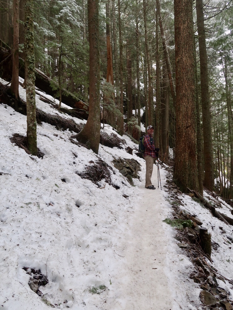
Snow!
The snow deepened to several feet as we climbed in elevation. Thankfully the snow was packed down from all the previous hikers so I didn’t posthole (although I did see some pretty deep footsteps from other hikers who weren’t as lucky).
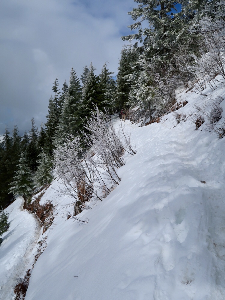
More Snow!
As we neared the top, the trail crossed the Old Mailbox Peak Trail – an unmaintained path that is half as long (and twice as steep) as the new version. I’m not a fan of super steep trails so we stayed on the new trail as much as possible.
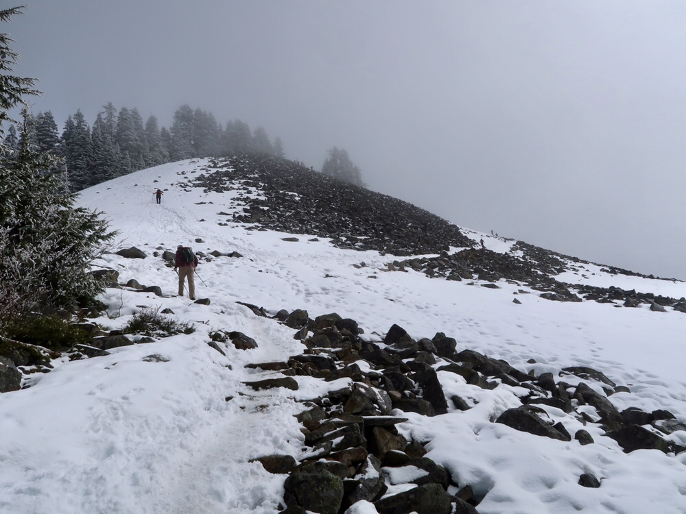
Nearing the top of Mailbox Peak
About a half mile from the top, the new trail ended and we followed the old trail to the summit. The path was covered with slippery snow and was so steep that I could barely make it up the trail even with my microspikes. Clouds covered the entire top of the mountain and little pellets of snow swirled in the air as I painstakingly made my way up.
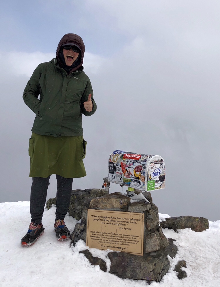
I Made it to the Top!-
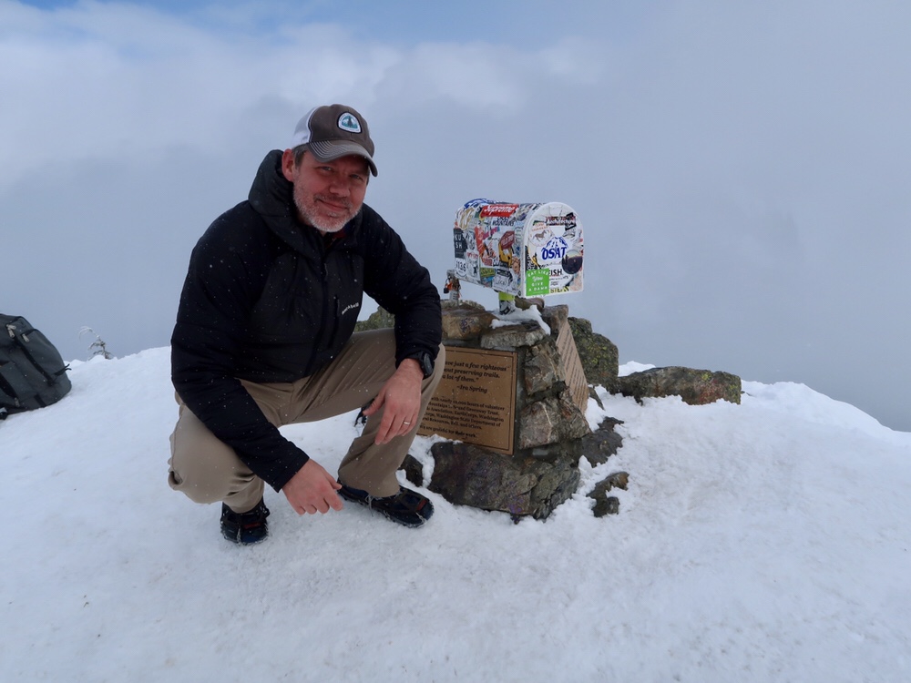
Halfway Made it to the Top!
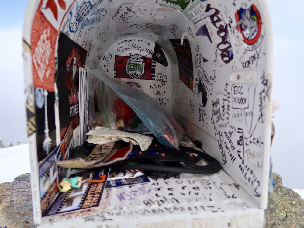
Inside the Mailbox
Eventually I finally made it to the top. And there was the mailbox! We stopped to put on some layers and eat lunch but it was too cold to stop for long.
Going back down the first half mile was even harder than going up. I dodged out of the way as several other hikers slipped and fell, but I took my time and made it down the half mile without incident. Thankfully, the sun finally broke out of the clouds around this point and we had great weather the whole rest of the way back down.
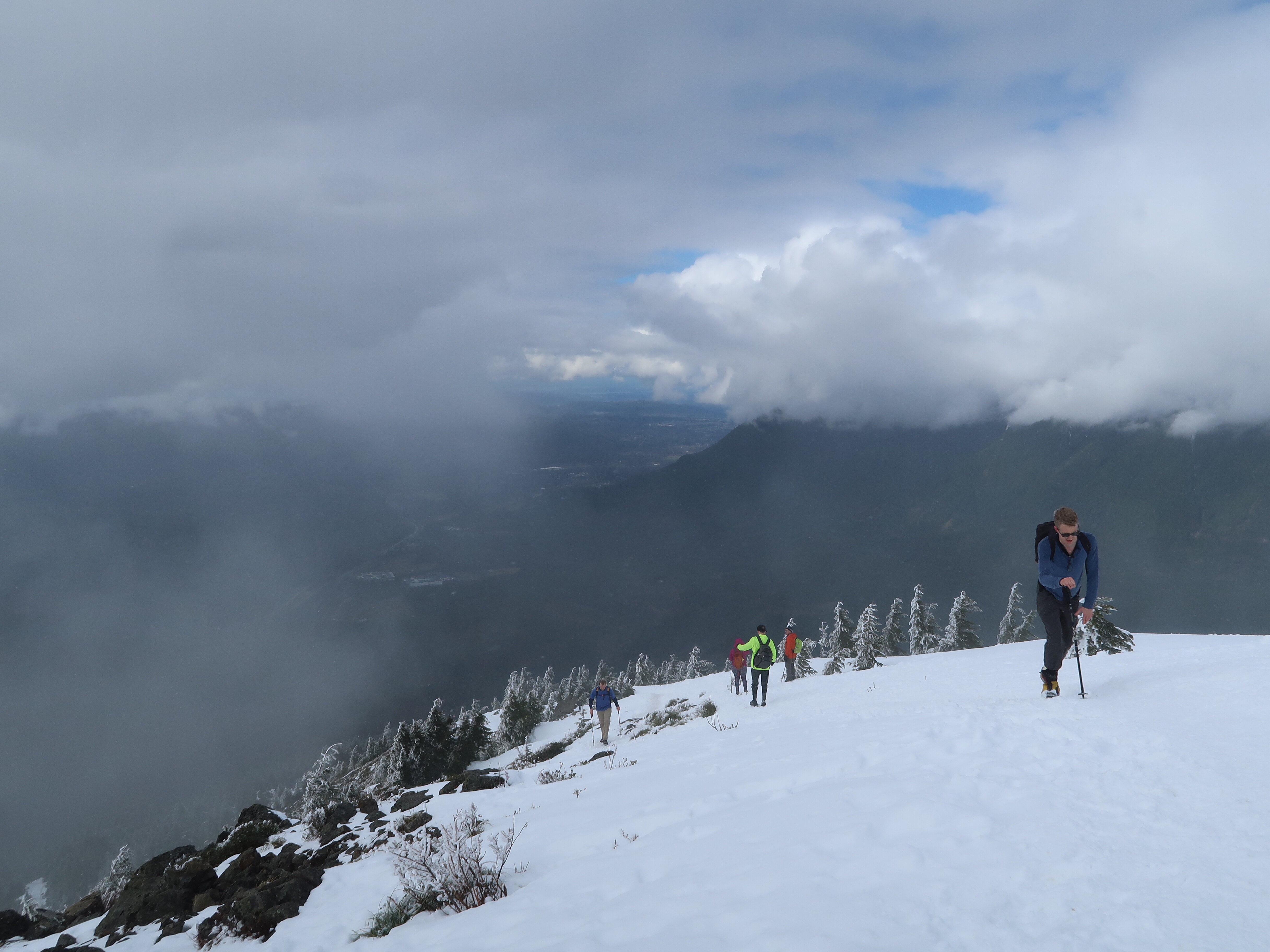
Hikers Ascending to the top of Mailbox Peak
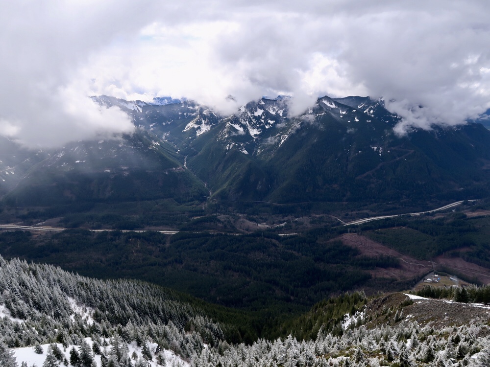
The Clouds Finally Cleared!
I made it almost halfway down the mountain before finally slipping and falling on one of the last patches of snow. After hours of carefully navigating the snow I guess I finally let my guard down. I bloodied my hand a little but otherwise I was fine.
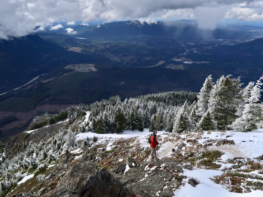
The View from Mailbox Peak
Sunshine streamed through the trees as we neared the trailhead. It felt like a completely different day than from when we shivered in swirling clouds of snow at the summit only hours before. We crossed a few small streams and I noted that the water level had risen since we had last crossed them. Streams that started as small rivulets now gushed with snowmelt across the trail.
We made it back to the parking lot around 4:30 pm. Whew! My legs felt like limp noodles and I was hobbling like a long distance hiker. But it feels good to finally check this hike off my list. I’m looking forward to trying it again when the snow melts.
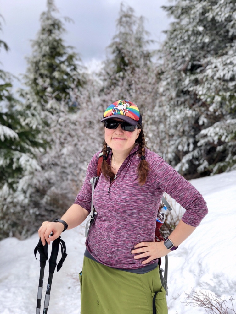
My expression sums up how I felt on this hike. Tired! Â -Photo by Halfway



0 Comments