This blog post describes my hike along Mt. Rainier’s Carbon River Trail in the Carbon River Rainforest. We didn’t end up making it all the way to the Carbon River Glacier as planned due to a high river crossing, so we ended up taking the junction for the Green Lake Trail instead.
For those interested in a shorter walk, the excellent Carbon River Rainforest Rainforest Trail is available at the trailhead as well. It is a .3 mile Nature Loop Trail that is easily accessed for hikers of all skill levels.
In Which we Plan to Hike the Carbon River Rainforest Trail
Mt. Rainier. After my hike around the Wonderland Trail in 2016, I consider the mountain a dear friend. On sunny days, I have a clear view of Mt. Rainier every time I commute across Lake Washington. I wave a greeting to the mountain as I drive by and dream about returning for a visit.
Carbon River Trailhead
This past weekend I finally got my chance. On Sunday I traveled to Mt. Rainier National Park with my friend Jingyan. We decided to explore the northwest corner of the park as it’s the only area that is not currently under snow. We headed to Carbon River Road which was permanently closed several years ago due to a washout and is now converted to a pleasantly flat walking and biking trail.
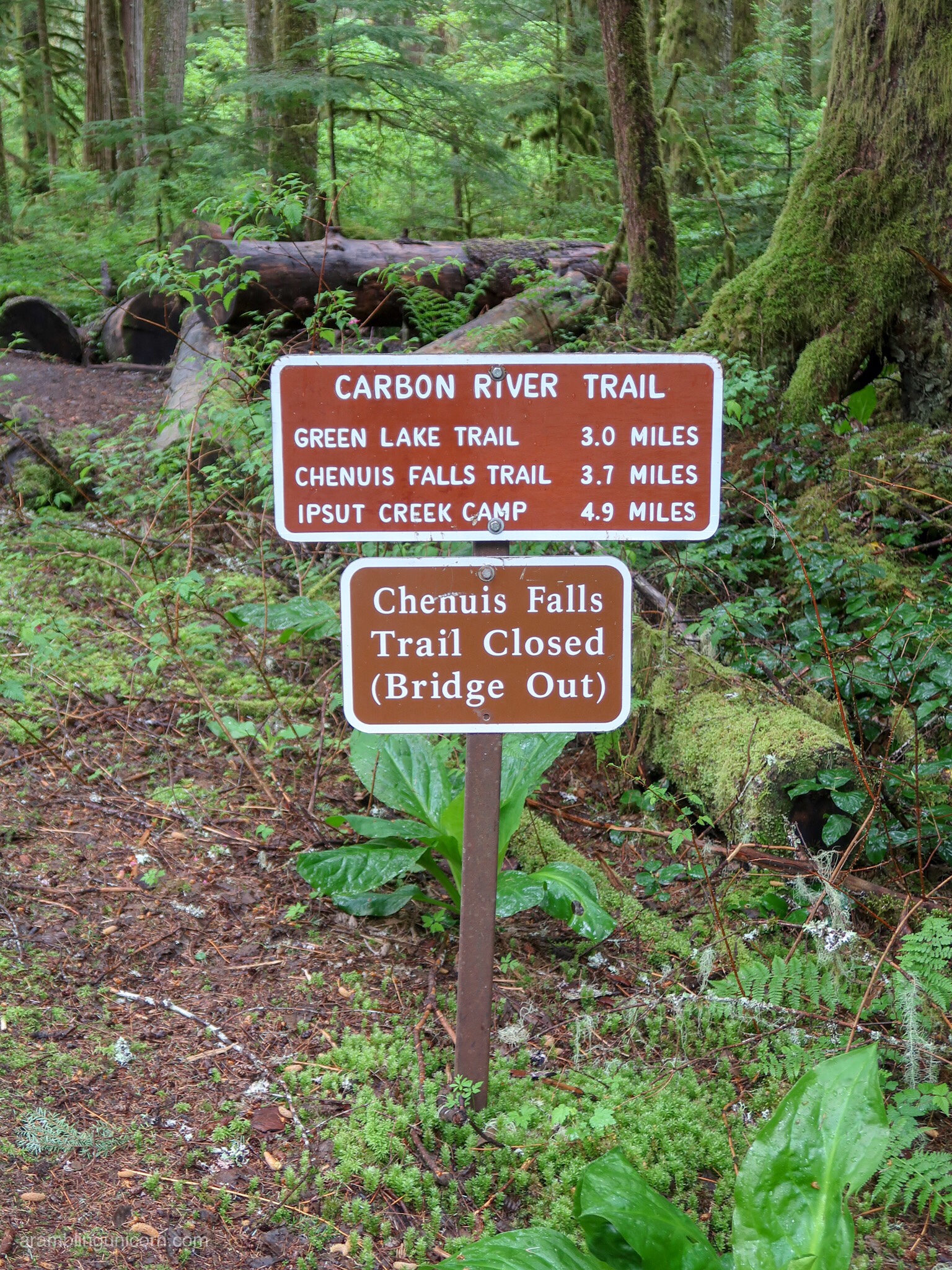
We had originally planned to hike 5 miles to Ipsut Creek Campground and then continue a few additional miles to the Carbon River Glacier. Luckily for us, we stopped off at the ranger station on our way to the trailhead to use the restroom. They didn’t have a public bathroom, but they did have intel on current trail conditions. The ranger advised against hiking to the Glacier due to a dangerous creek crossing and suggested heading to Green Lake instead. Sounded like a good plan to me!
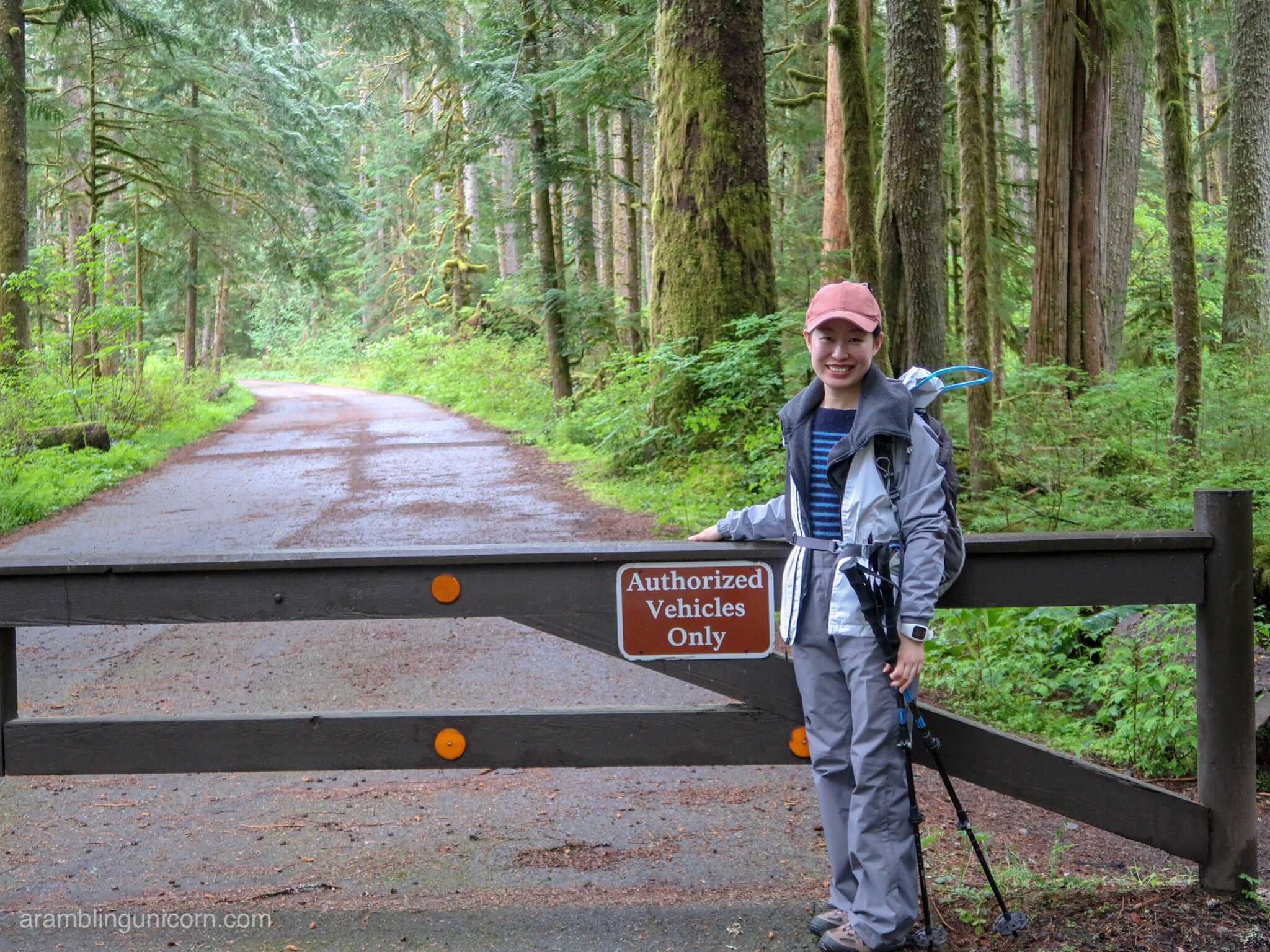
Jingyan is ready to hit the trail!
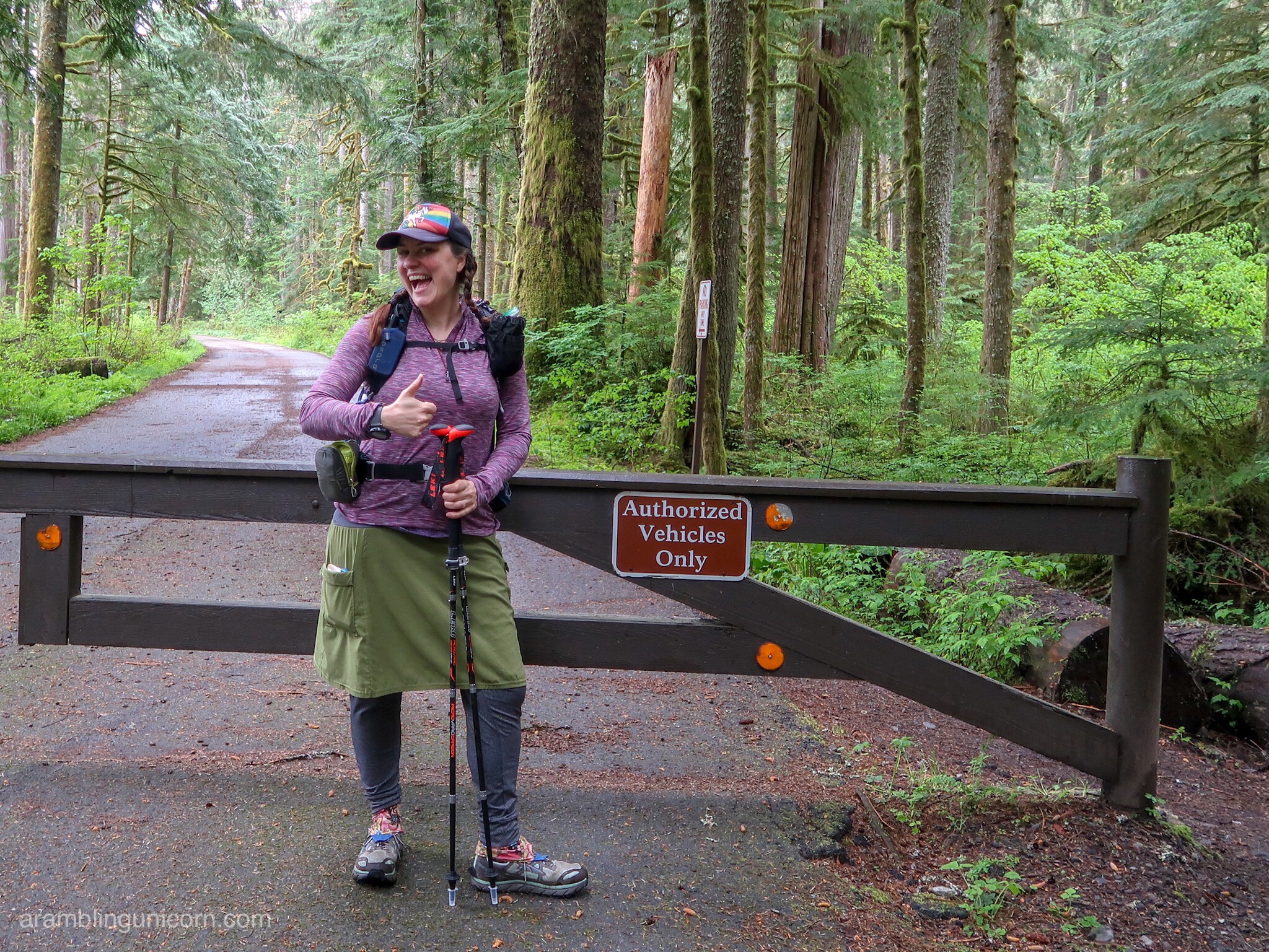
This Unicorn is ready to ramble!
Beginning the Hike along the Carbon River Rainforest Trail
The trail begins two miles past the ranger station at the new official end of the Carbon River Road. A picnic table and restrooms are available here along with a short nature trail – it’s a pleasant spot for a picnic lunch complete with views of the Carbon River. We began our hike at 9:30 am and followed the Carbon River Trail into the woods. I was immediately struck by the difference between the trees here and the ones that I’m used to seeing in the Issaquah Alps near Seattle. These massive old growth trees are part of the Carbon River Rainforest – a rare inland temperate rainforest complete with hanging mosses and towering Douglas Firs.
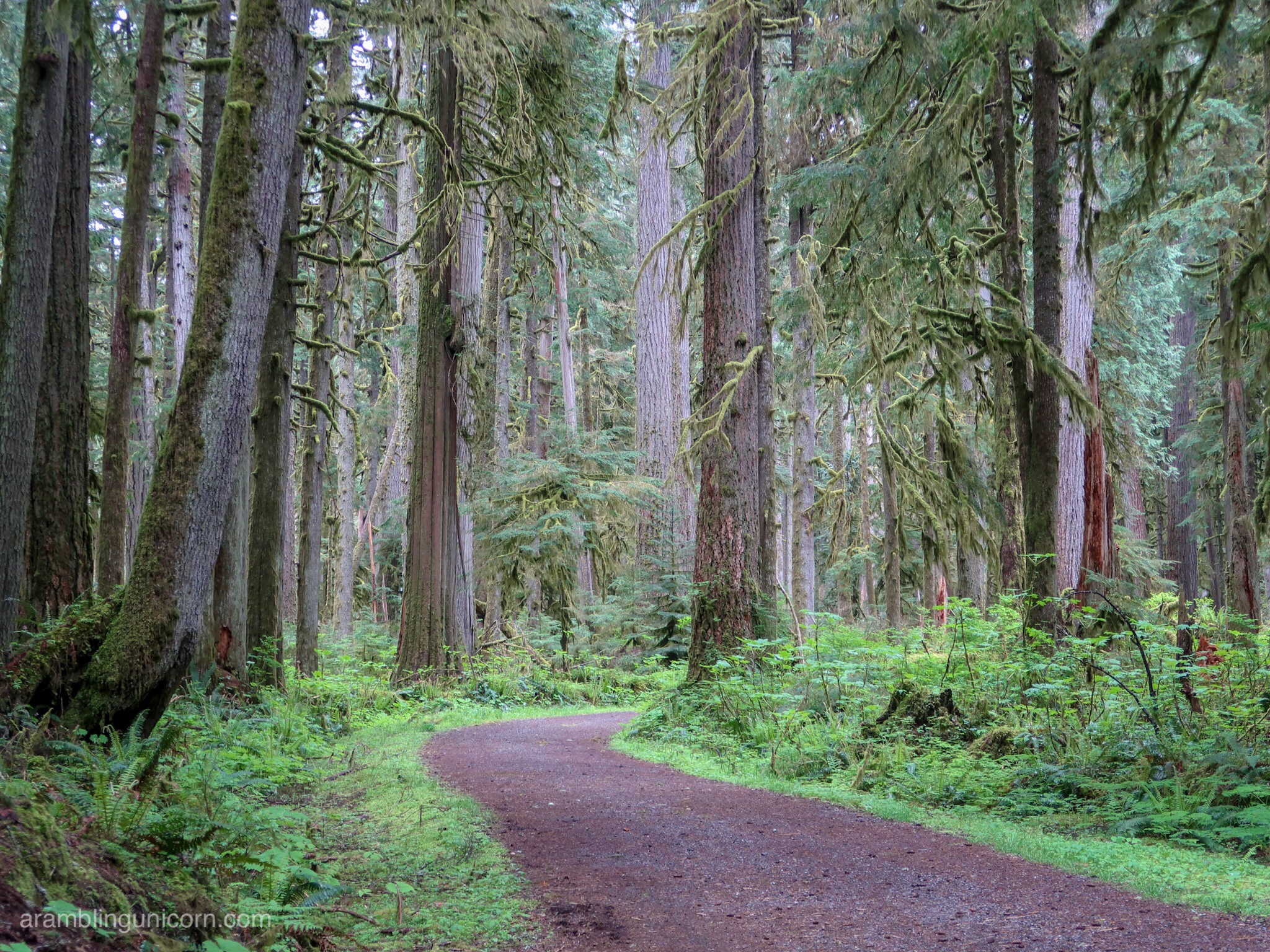
The Carbon River Trail
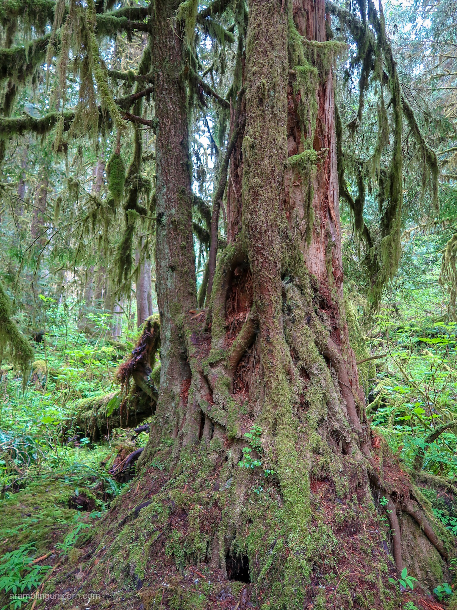
Welcome to the Rainforest
After following the road for a mile, we passed a sign for the Old Mine Trail. The trail piqued my interest as it wasn’t listed in my guidebook or on my map. The path is short but steep and leads to a decommissioned mine shaft in the side of the hill. We snapped a few photos and headed back down to the main trail.
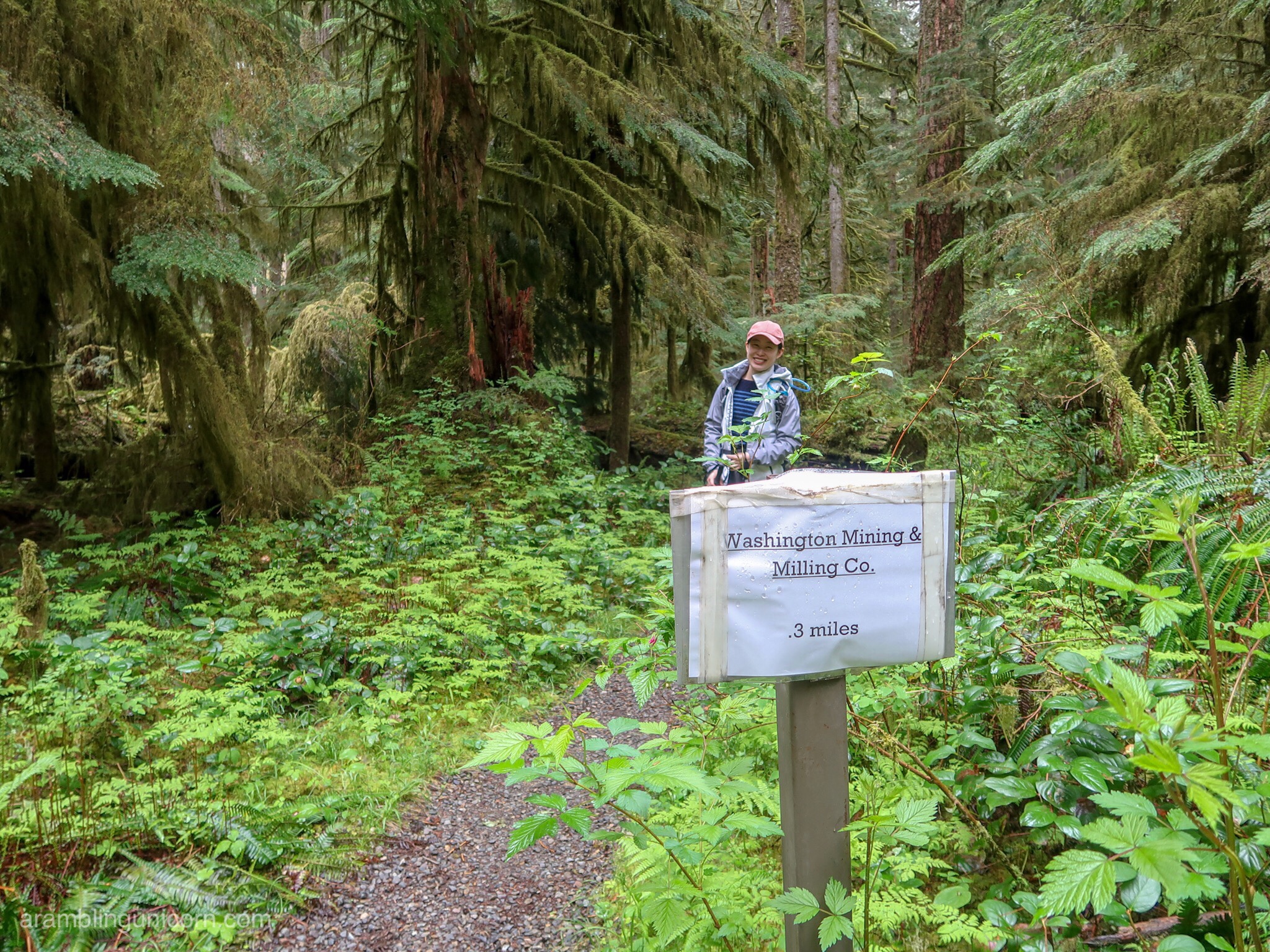
The Old Mine Trail
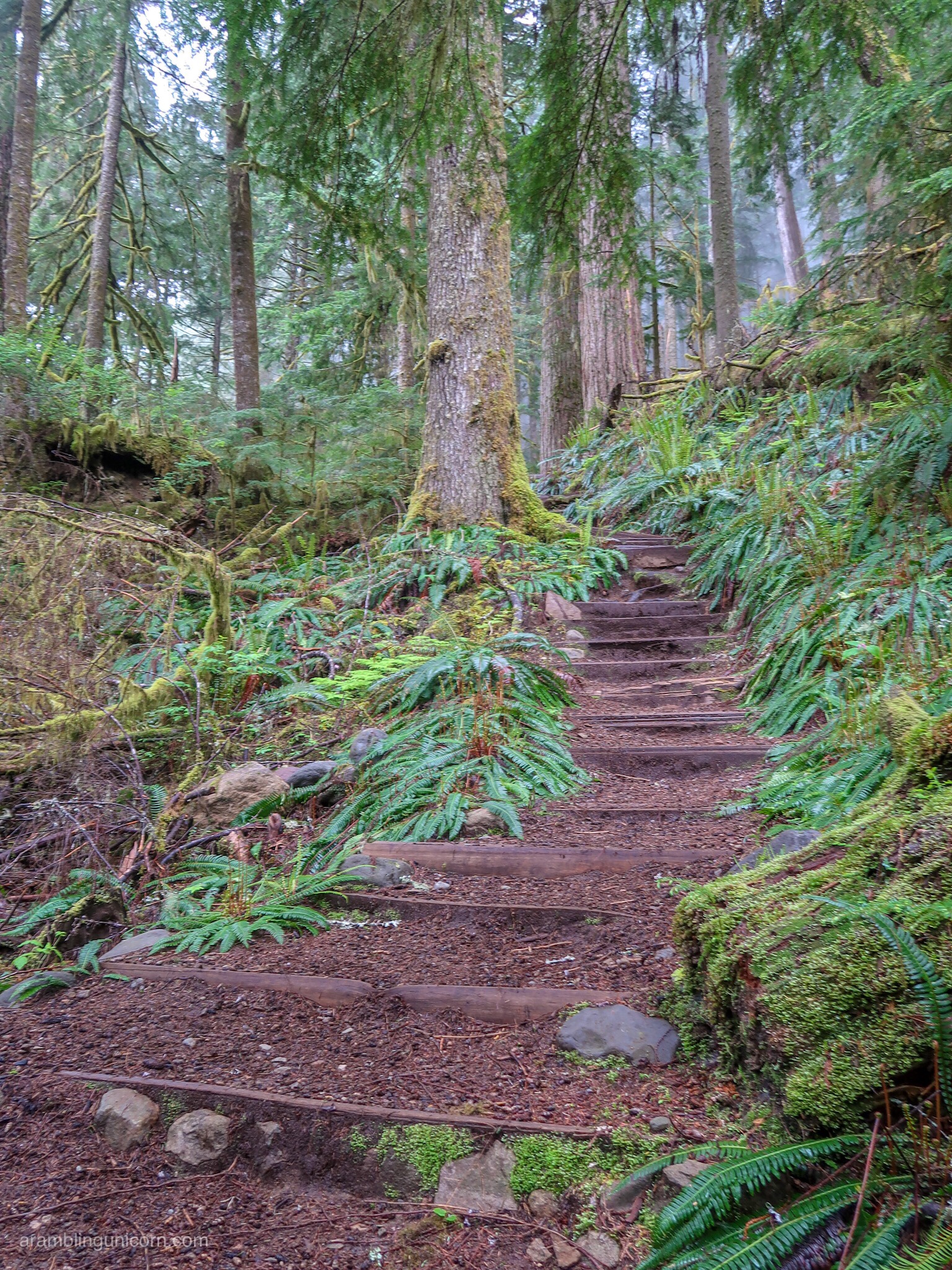
It’s a steep trail up to the Old Mine
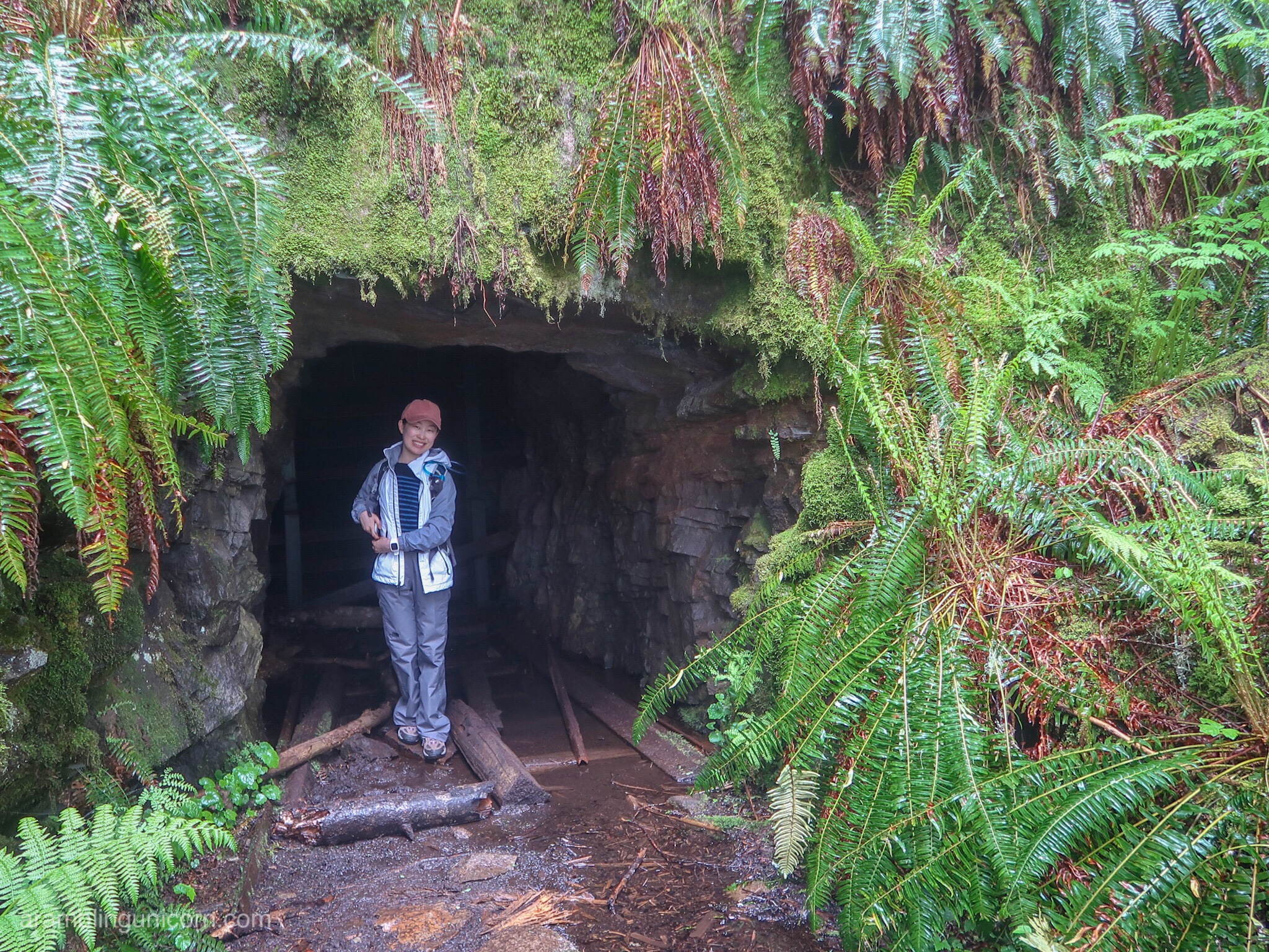
Jingyan checks out the Old Mine
The Green Lake Trail and Ranger Falls
A couple of miles later, we found the official trailhead for Green Lake. We saw a few bikes parked here from other hikers who chose to ride the first 3 miles to the trailhead. The path gently slopes uphill with an elevation gain of 500 feet per mile – my kind of trail.
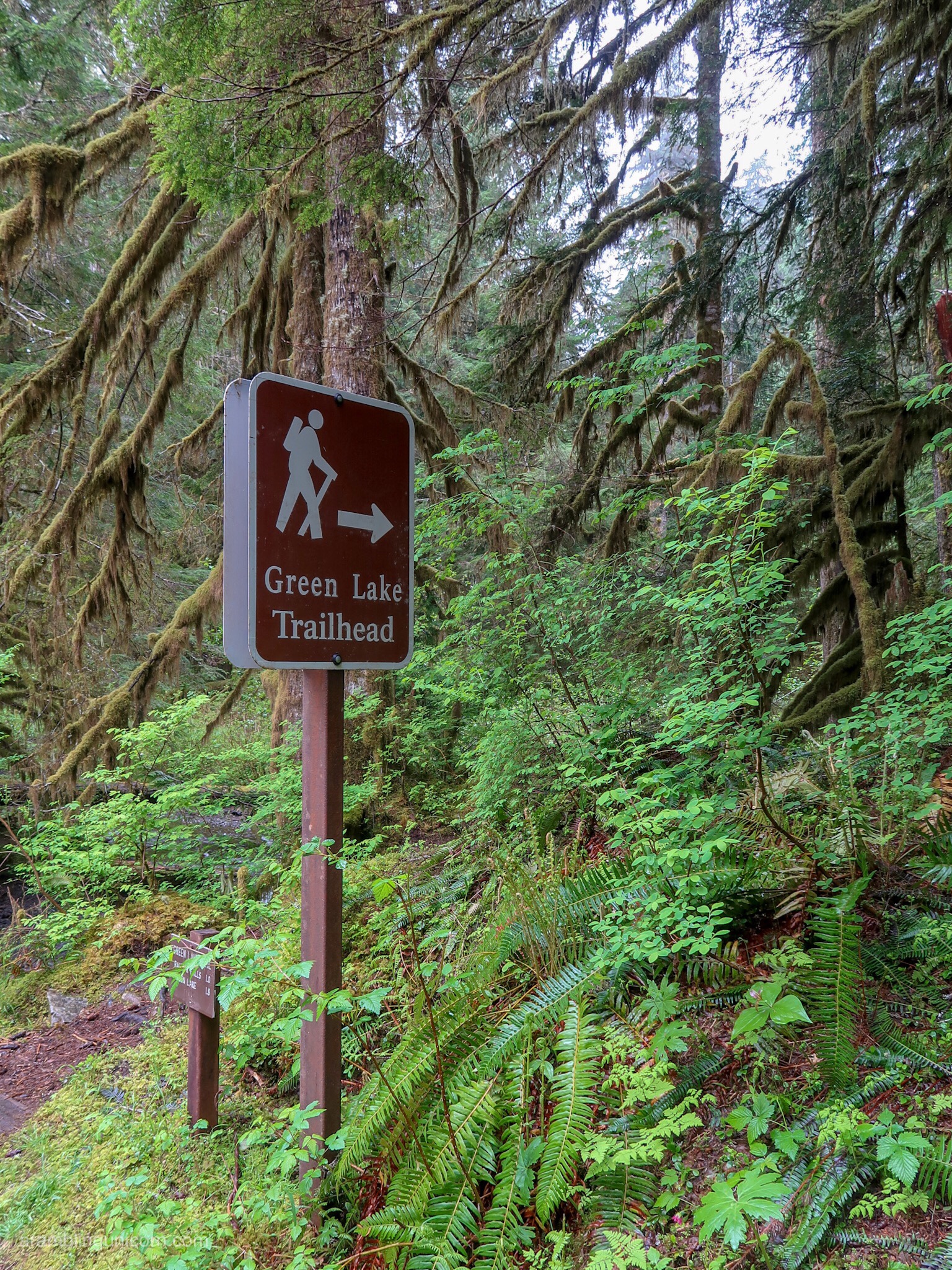
Green Lake Trailhead
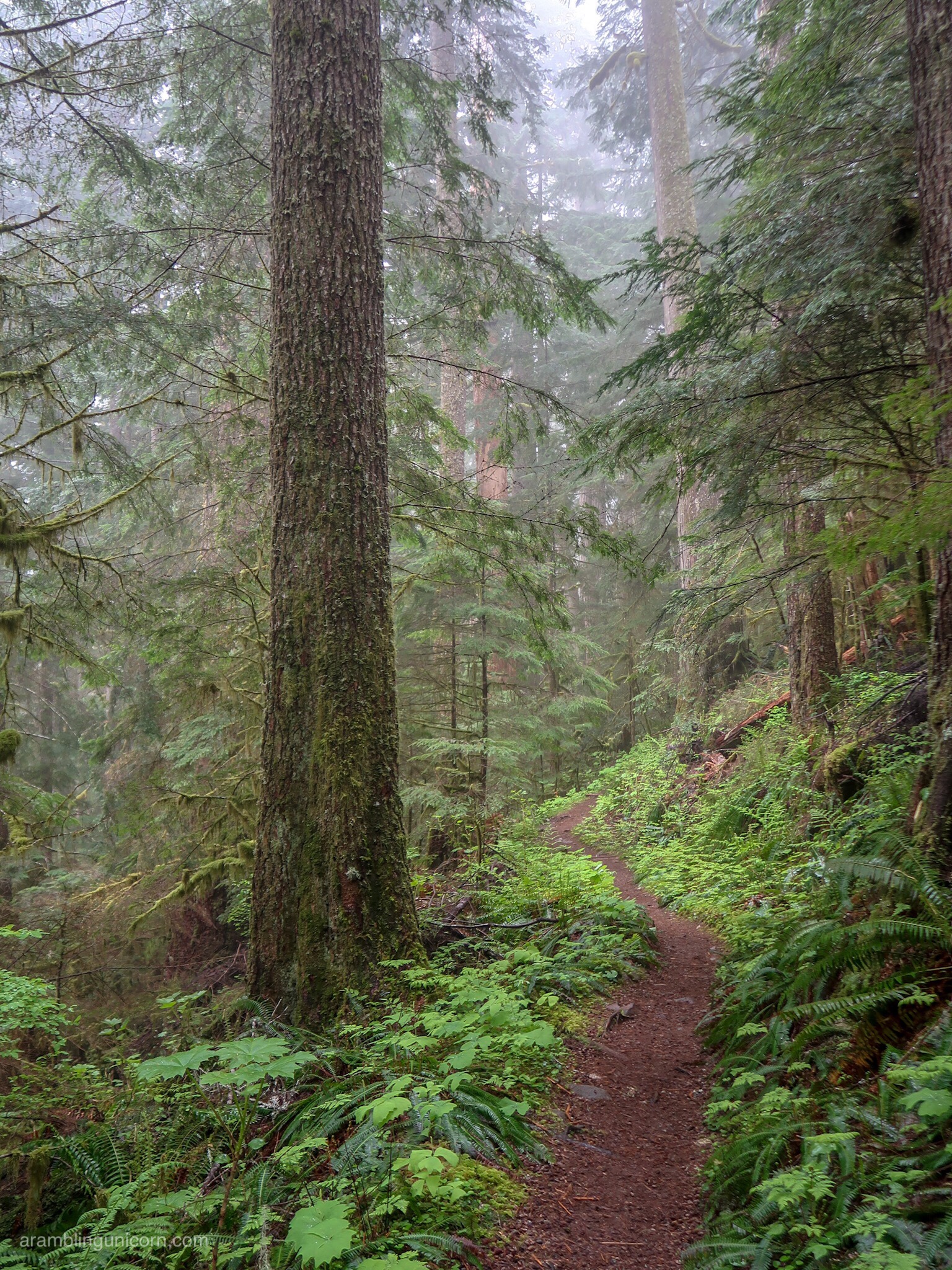
The Green Lake Trail
Halfway to the lake, we stopped to admire Ranger Falls. It’s a great time of year for waterfall viewing as the falls are heavy with spring runoff.
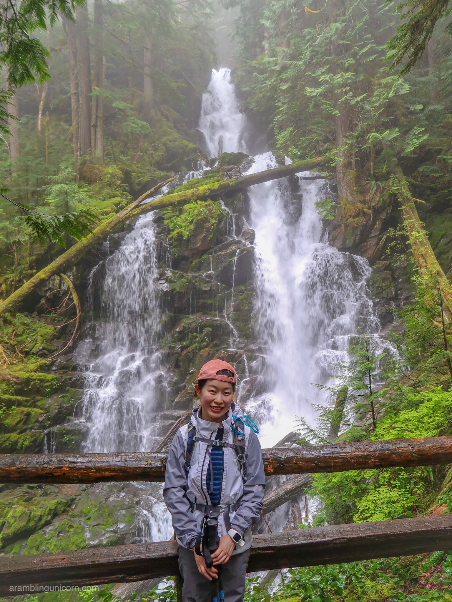
Ranger Falls
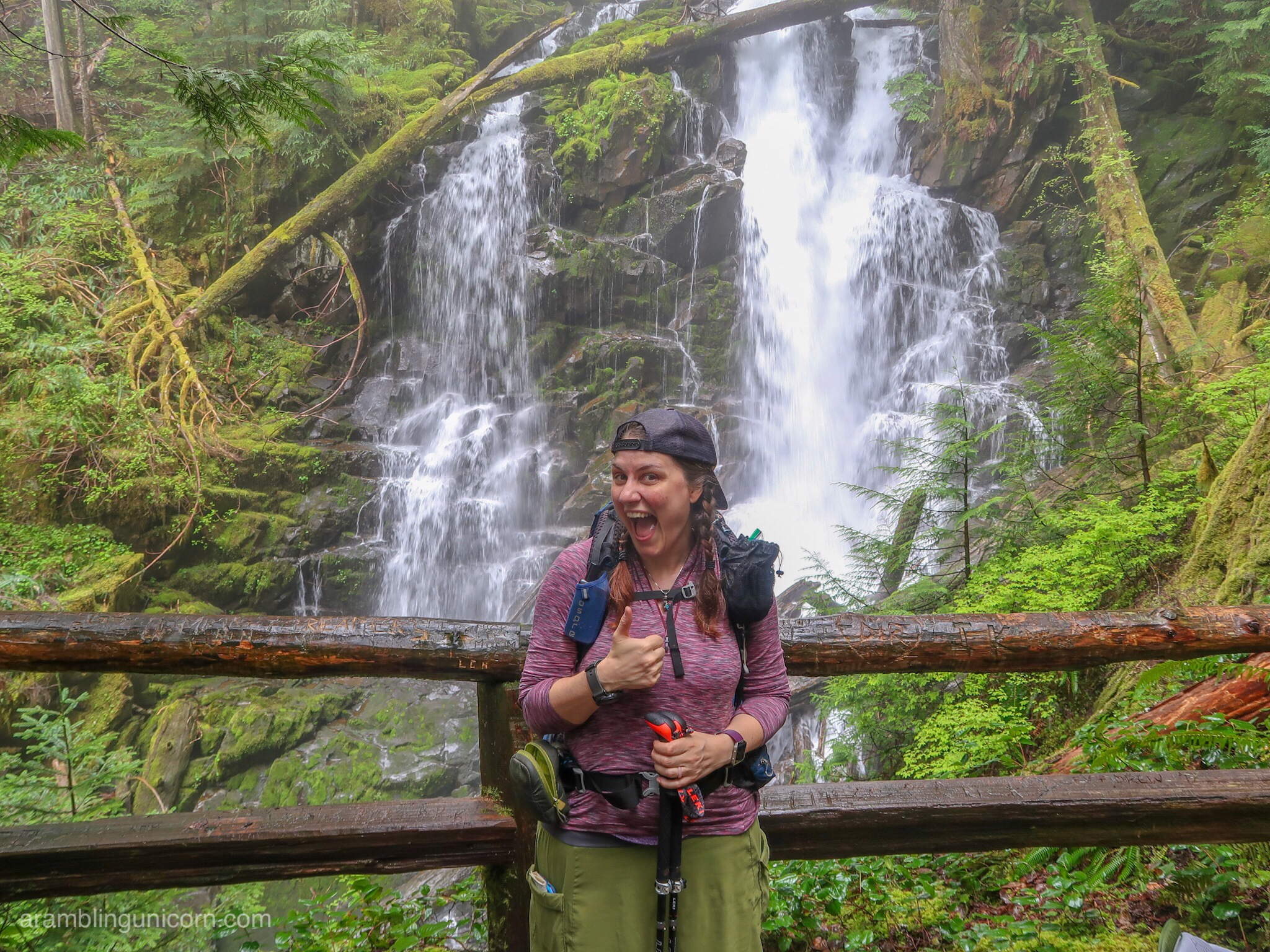
Ranger Falls
We reached Green Lake around noon and stop for a lunch break. Tendrils of mist shrouded the lake, hiding it from view. Thankfully it wasn’t raining, however, and we found a nice spot by the lake to enjoy our lunch.
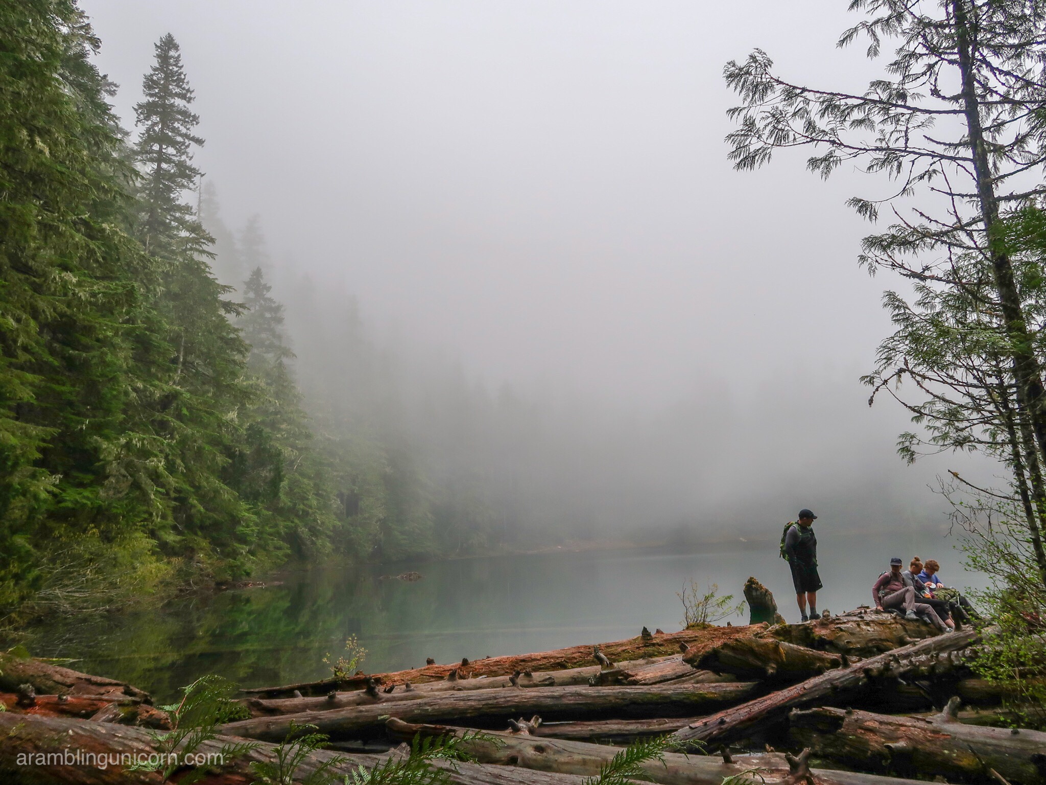
There’s a lake hiding out there…
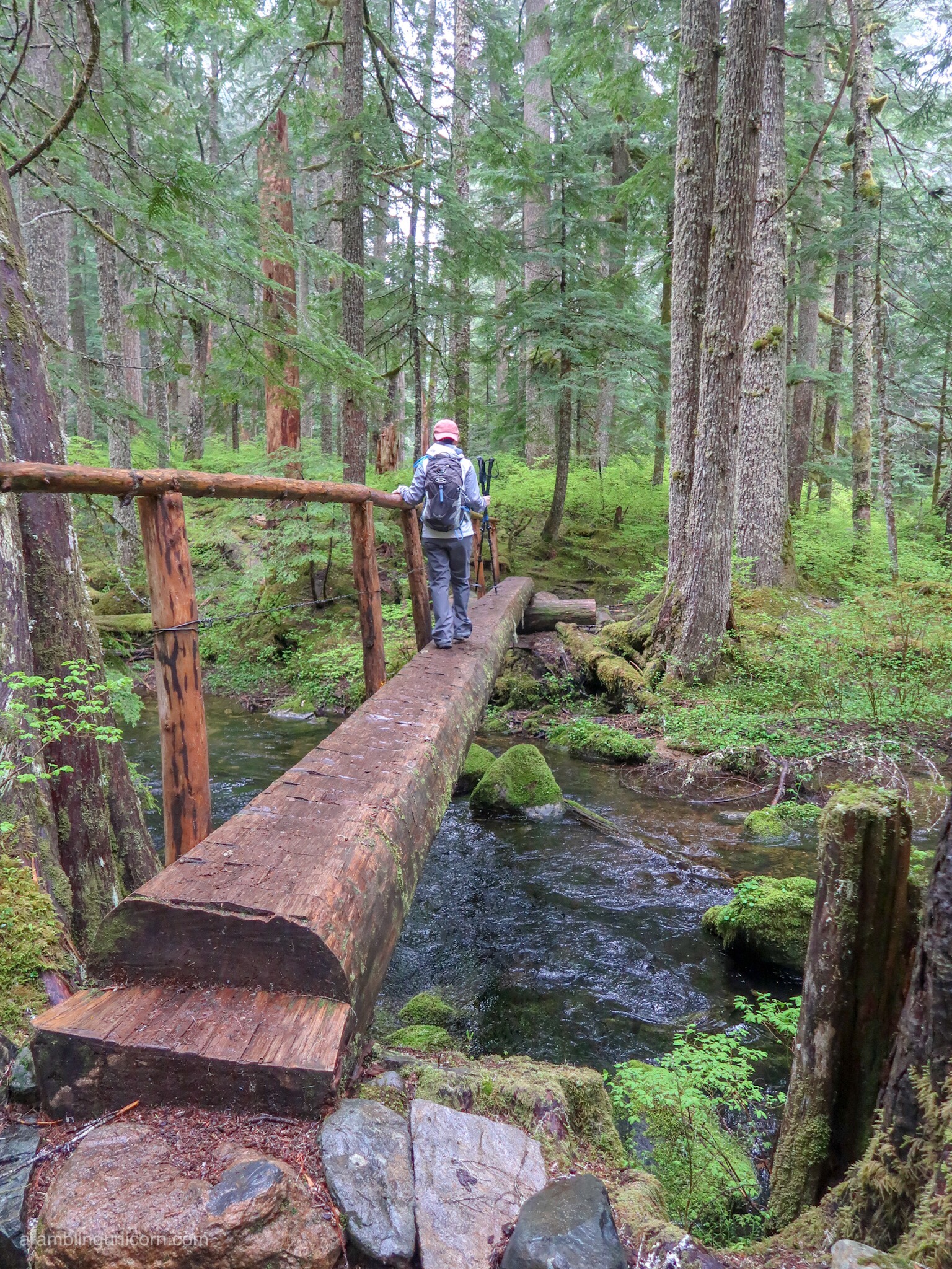
Crossing Ranger Creek
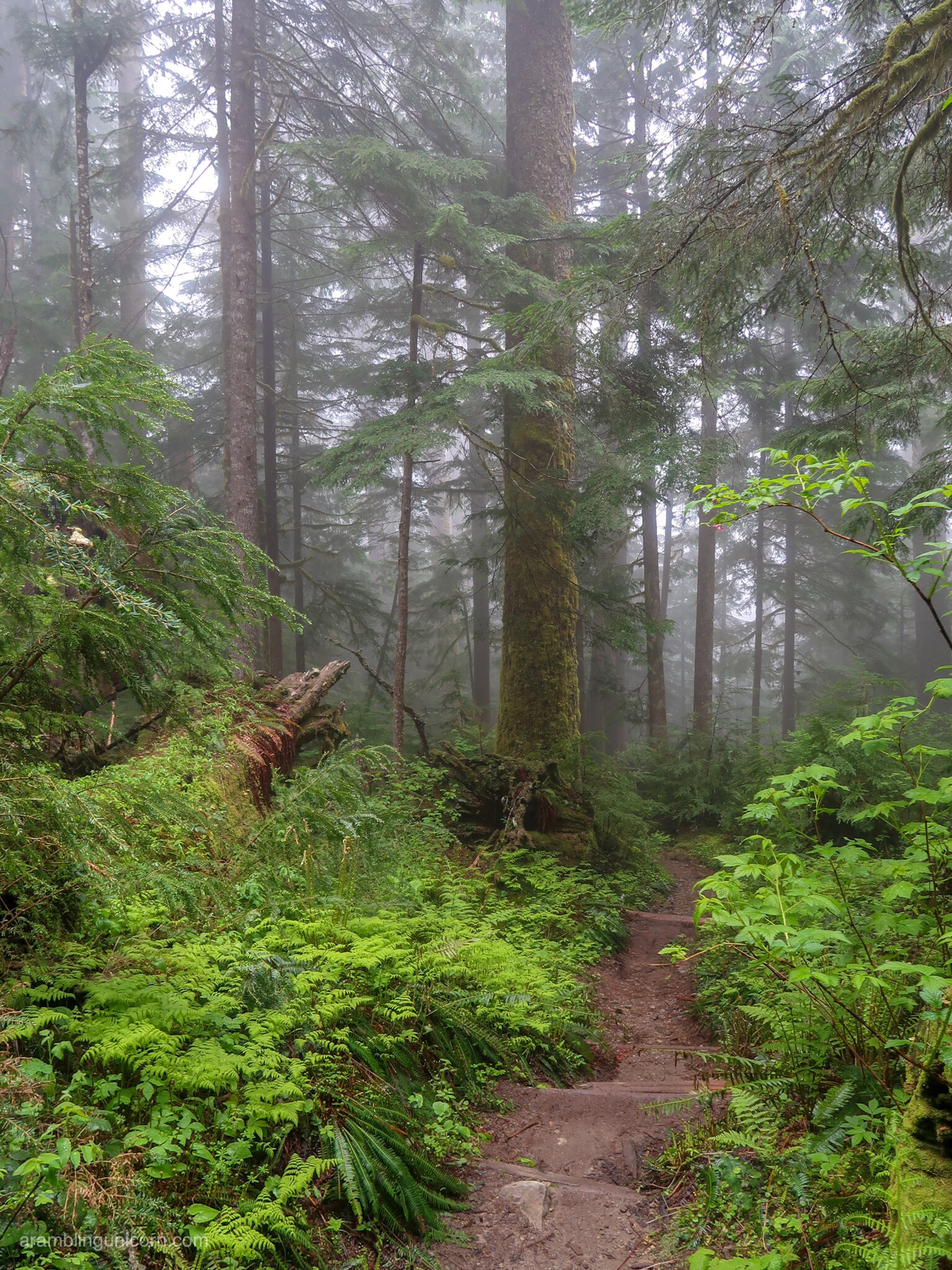
Misty Rainforest
It was an easy hike back to the Green Lake Trailhead after lunch, so we decided to explore the Carbon River Road Trail a little more. We headed east for half a mile until we found the turnoff for Chenuis Falls, which is located on the other side of the Carbon River. We crossed a foot bridge over the primary fork of the river, but lost the trail when we attempted to navigate the rest of the river bed.
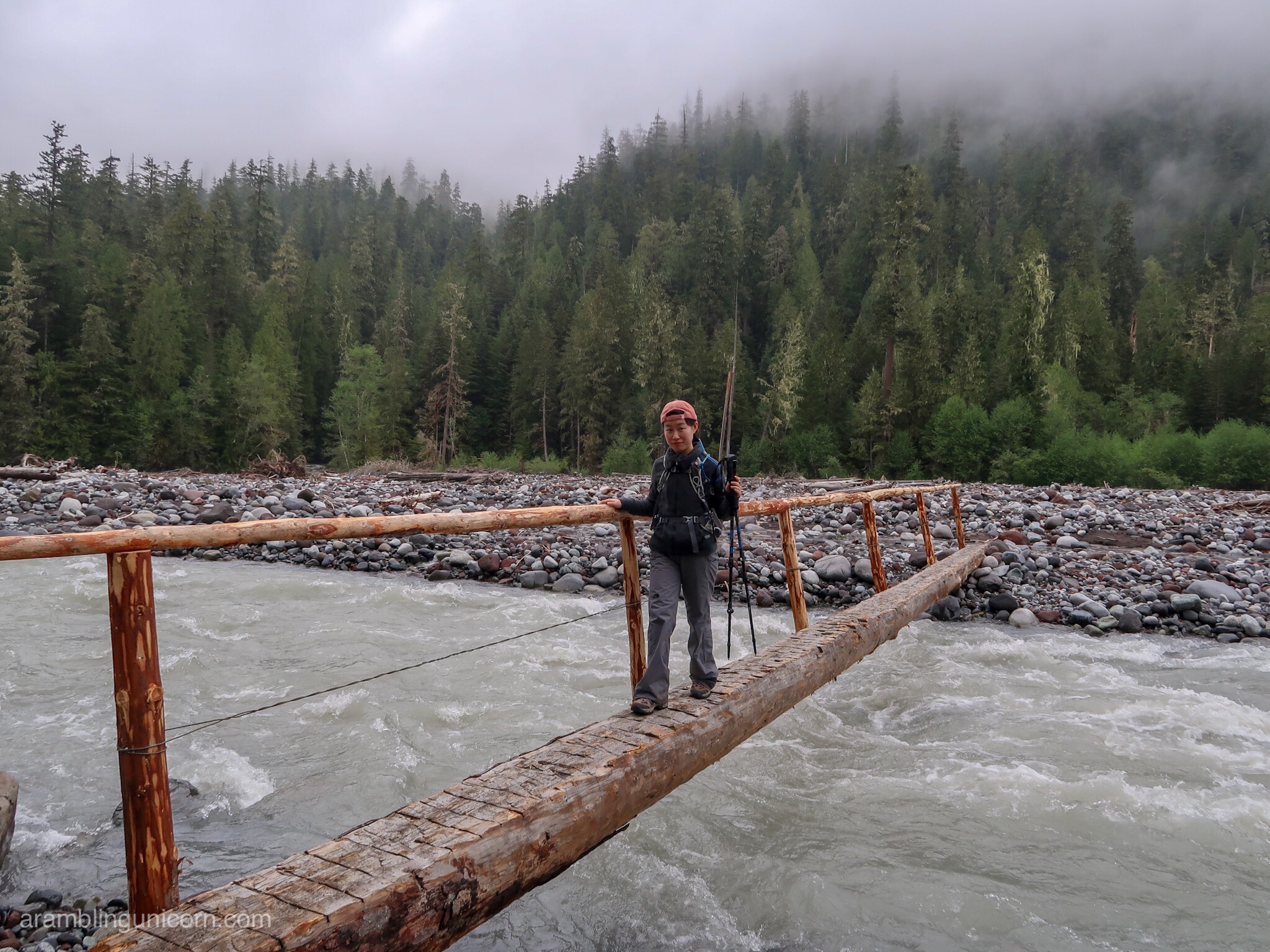
Nerve-wracking bridge crossing over the Carbon River
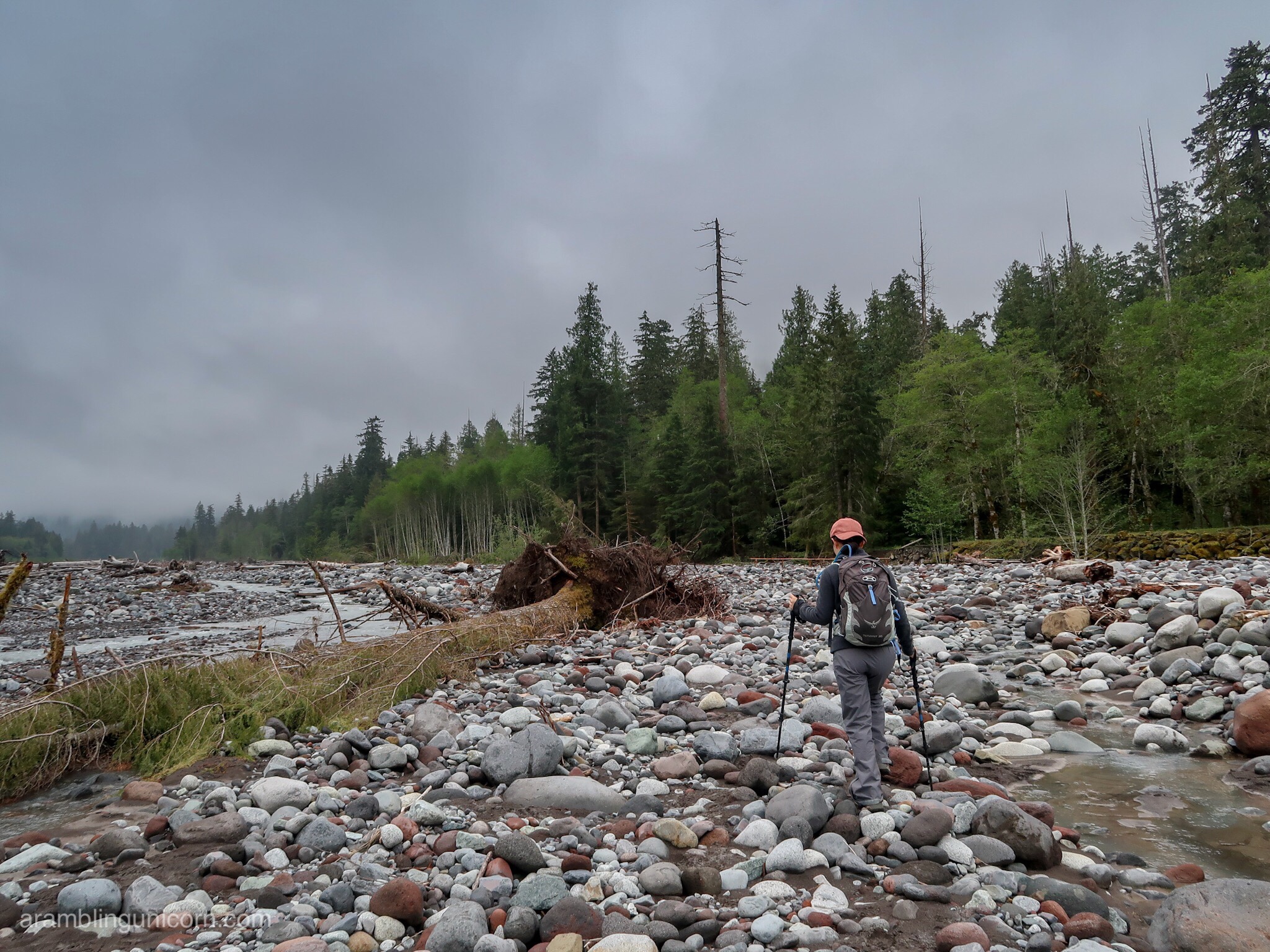
In which Jingyan and Unicorn give up trying to find Chenuis Falls
Several additional forks of the river still remained, which would have required us to get our feet wet (or worse) in order to cross them. Feeling like we already had enough adventure for one day, we decided to call it a day and turned back.
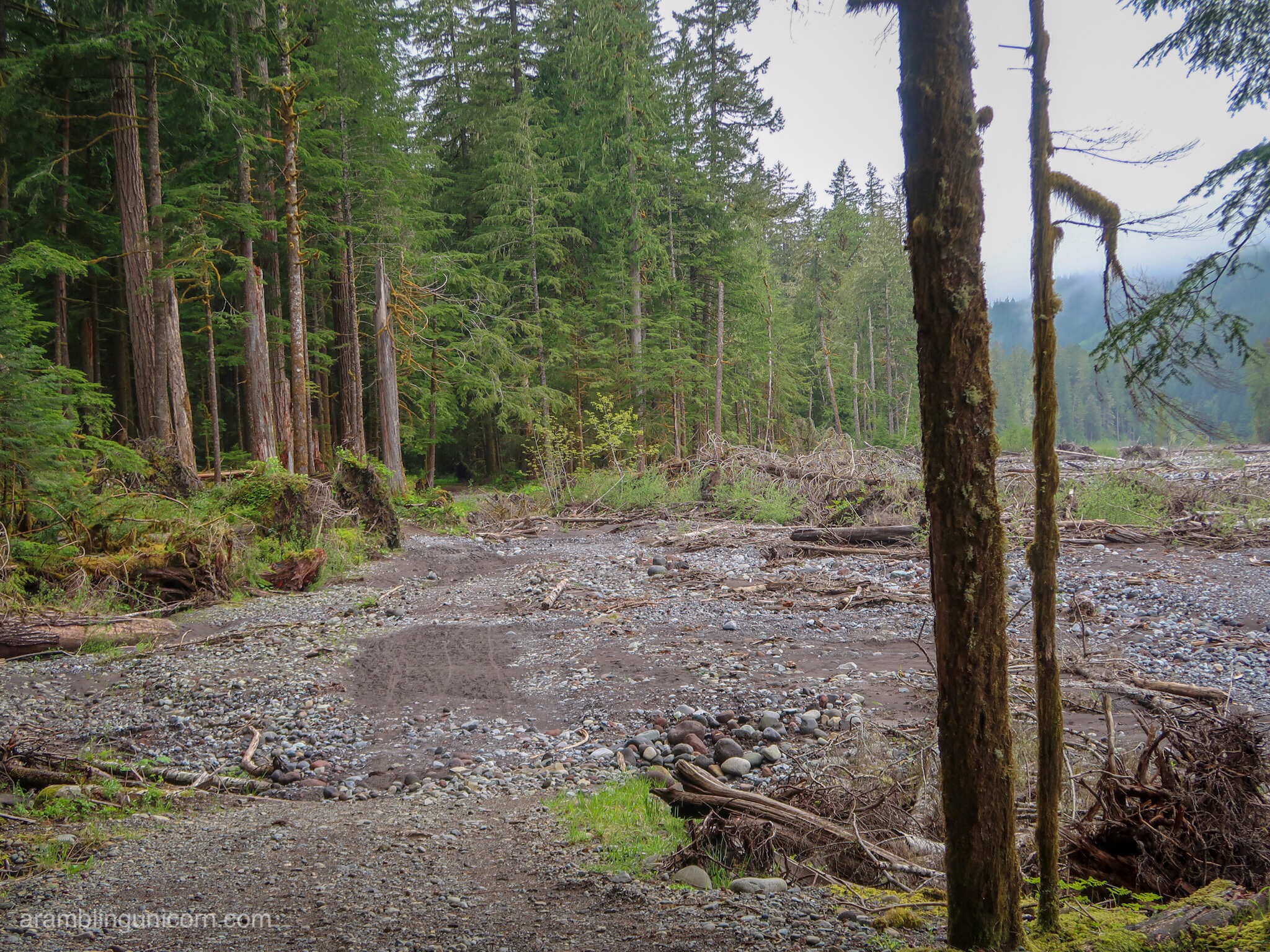
The washed out section of Carbon River Road
All in all a pleasant day at Mt. Rainier National Park. I can’t wait to go back.
For more information on hiking in Mt. Rainier’s Carbon River area, check out the following resources:
- Carbon River to Ipsut Falls – Washington Trails Association
- Carbon River Rainforest Trail – National Park Service
Hike Statistics
11.2 miles
1500 feet elevation gain

0 Comments