8683992615710237876..jpg")
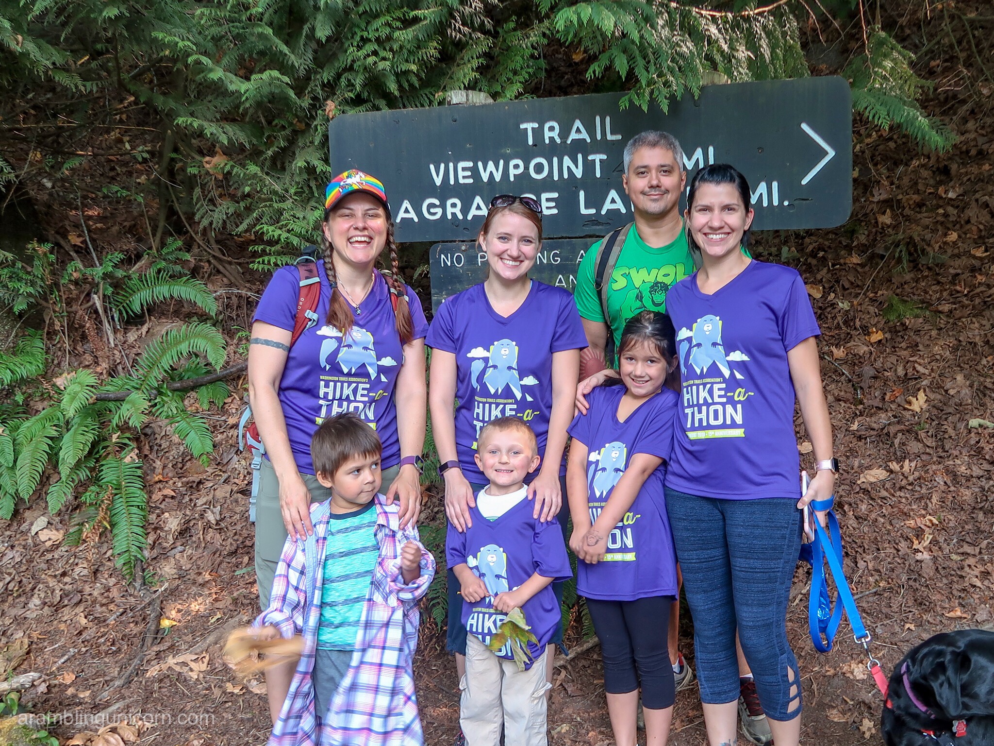
Ozette Triangle Day 1: Lake Ozette to Sand Point
Distance: 3.1 Miles
For more information on the Ozette Triangle Trail, visit the Backpacking Ozette Triangle in Olympic National Park landing page
The Ozette Triangle has been on my bucket list for a long time. Located in Olympic National Park, this 9.4-mile loop hike includes both lush green forests and rugged coastal beaches. An easy elevation profile combined with several options for beach camping make this a favorite backpacking trip for hikers of varying levels of ability.
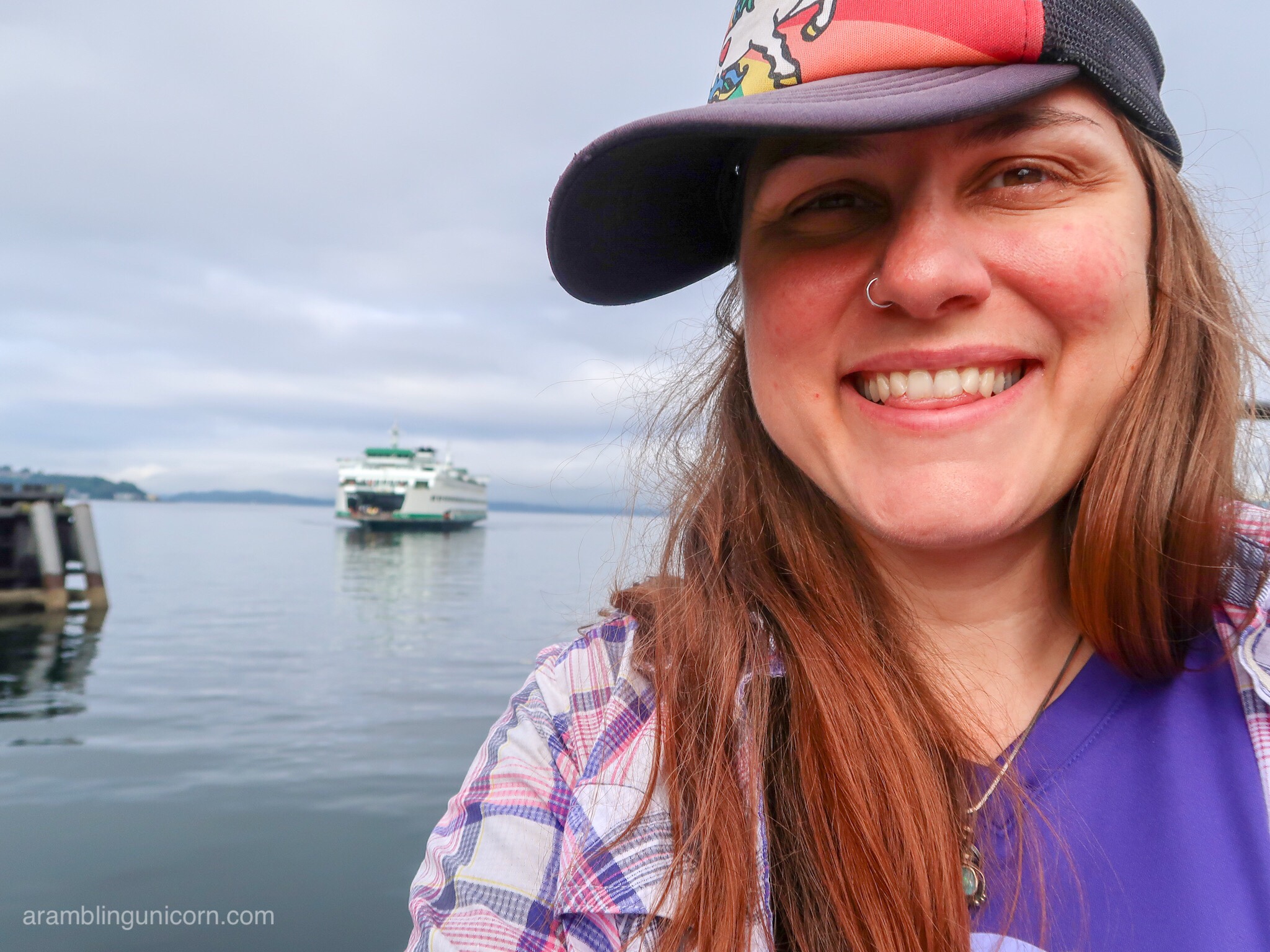
Selfie at the ferry terminal
I reserved a wilderness permit several months ago as permits are required for overnight camping. And so Friday morning found Daniel and me heading west toward the Olympic Peninsula via the Bainbridge Island Ferry. After a quick stop in Port Angeles for lunch and to retrieve our permit from the ranger’s station, we arrived at the trailhead around 4:00 pm.
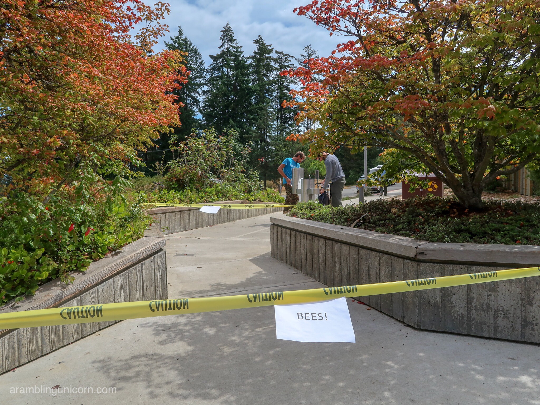
We stopped at the ranger station to pick up our permit. Bees!
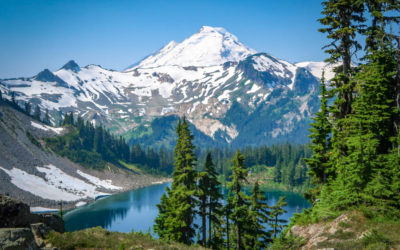
The trail begins at Lake Ozette, which is the largest unaltered lake in the state of Washington and a compelling destination in its own right. I would’ve loved to spend some time exploring the lake but we were short on time and headed west.
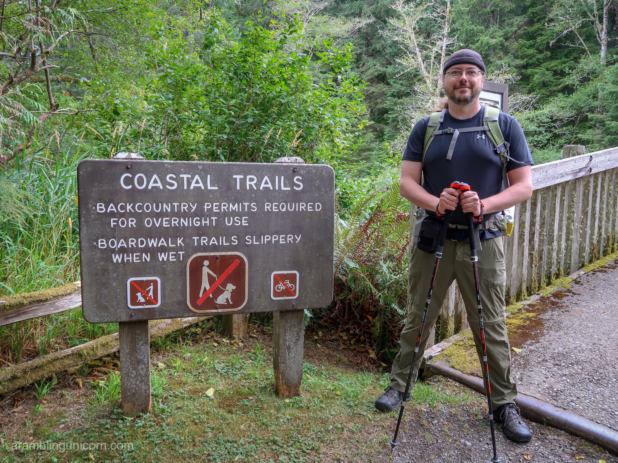
Daniel is ready to hit the trail
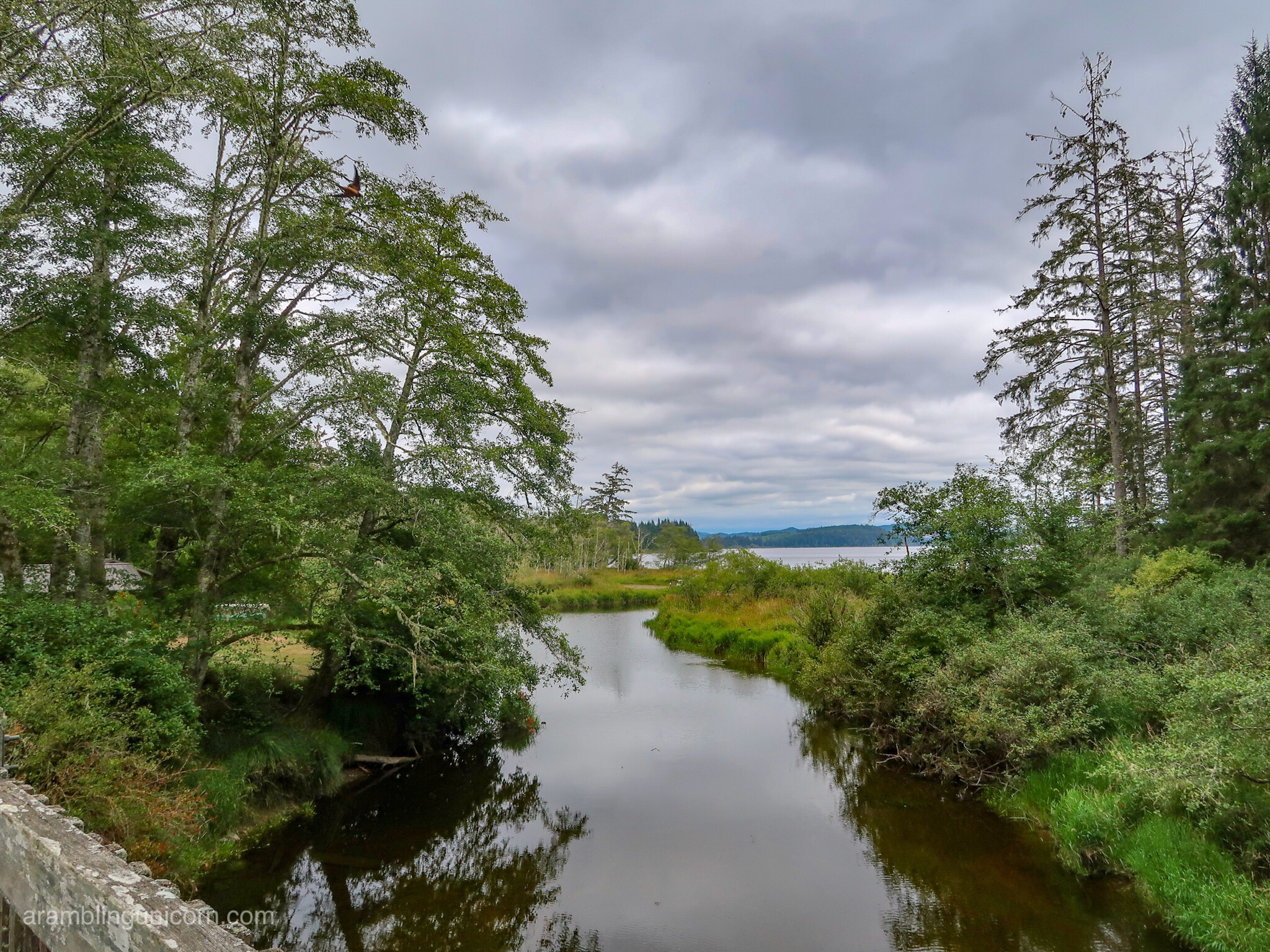
Overlooking Lake Ozette
After crossing a bridge over the Ozette River, we came to a junction. Our permit had us staying at Sand Point for our first night and so we took the left fork. From here trail follows a path through the woods for about 3 miles to the beach. The hike through the forest is verdant and lovely with moss and mist hanging from the trees. The walk is primarily on a picturesque boardwalk; some of the boards are old and mossy which was pretty but I had to watch my step. I eventually had to put away my hiking poles as the tips kept getting caught in between the boards.
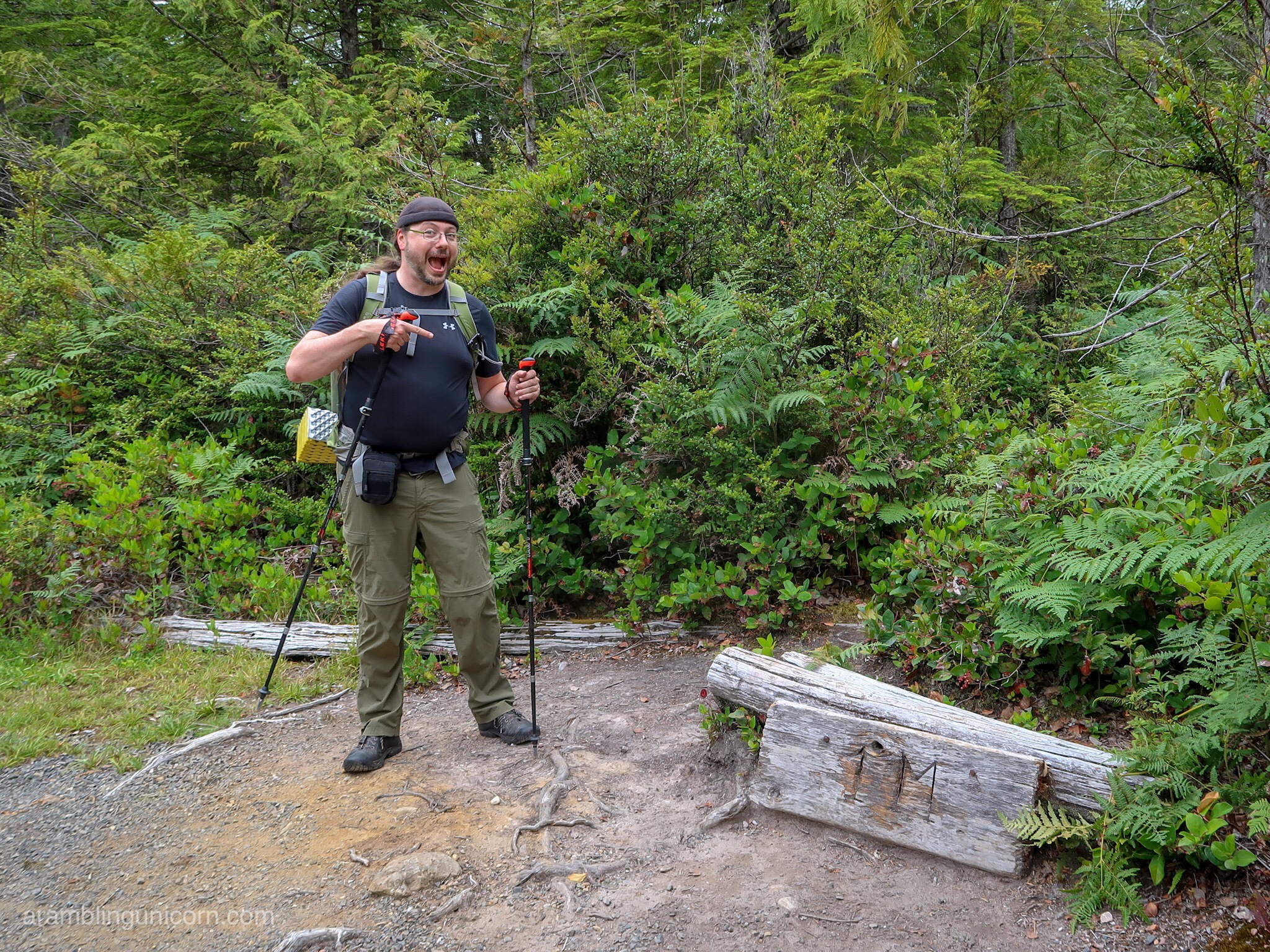
At the first mile marker
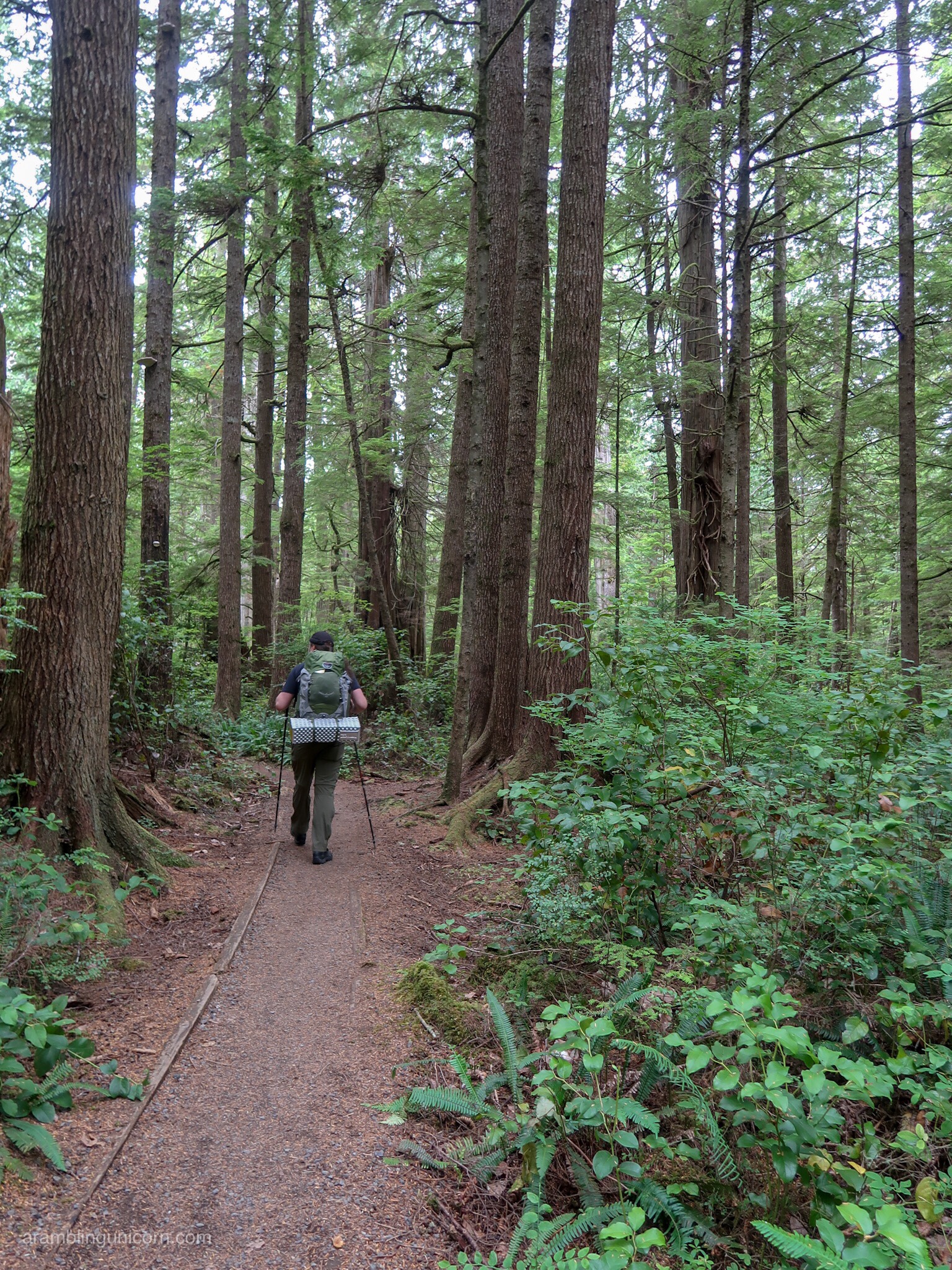
Strolling through the forest
As we walked to the beach, we passed a group of rangers who inspected our permit and checked on our food storage. I still had the bearcan that I used in the Sierra’s last year and so we were good to go. The ranger also informed us that a mama bear and 2 cubs had been hanging out recently between Sand Point and Wedding Rocks – exactly where we had planned on camping. Daniel and I looked at eachother uneasily. This could be interesting.
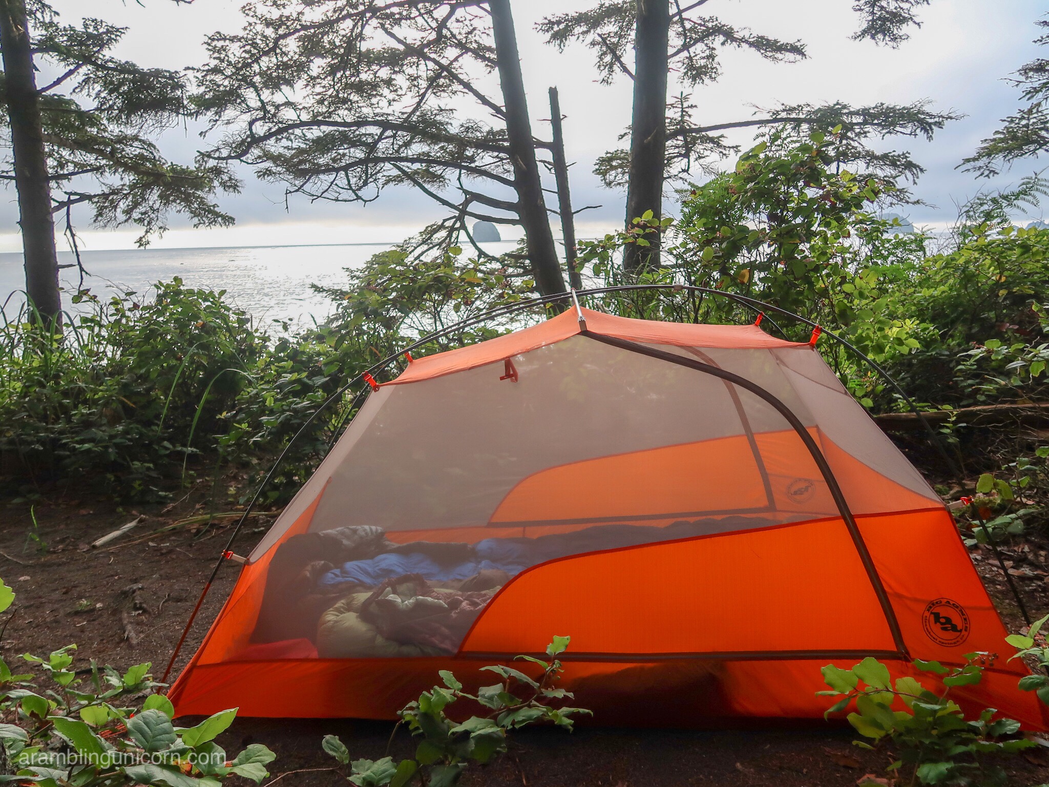
The view from our campsite
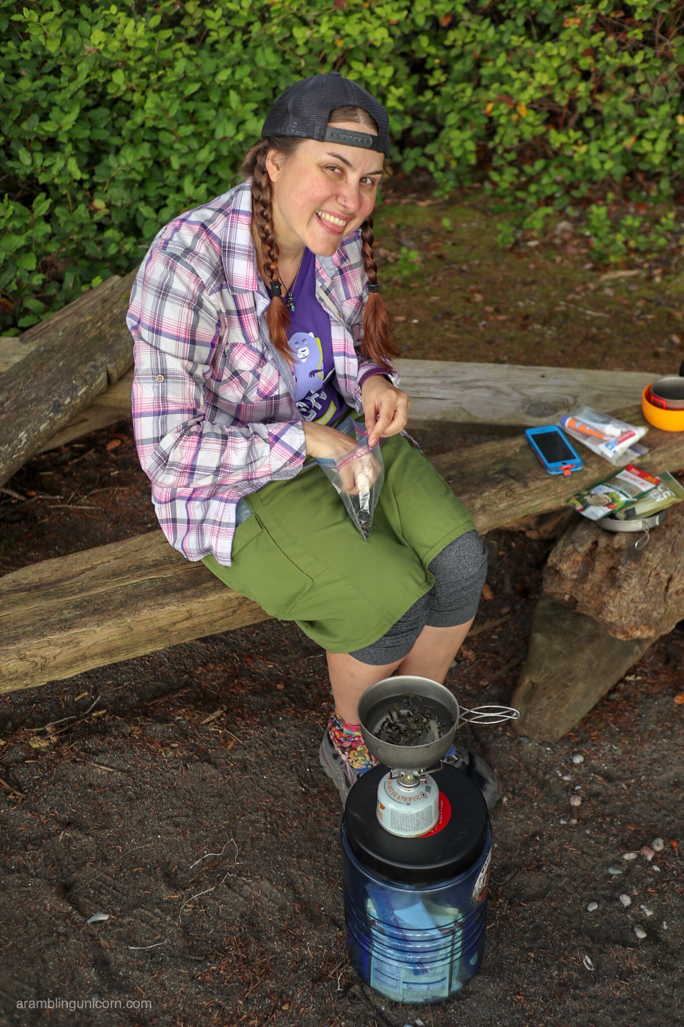
Dinner time!
We arrived at Sand Point during high tide and looked for a campsite. There were lots of tents crowded near the point but we found a secluded site north of the trail junction with a lovely view that was set back among the trees.
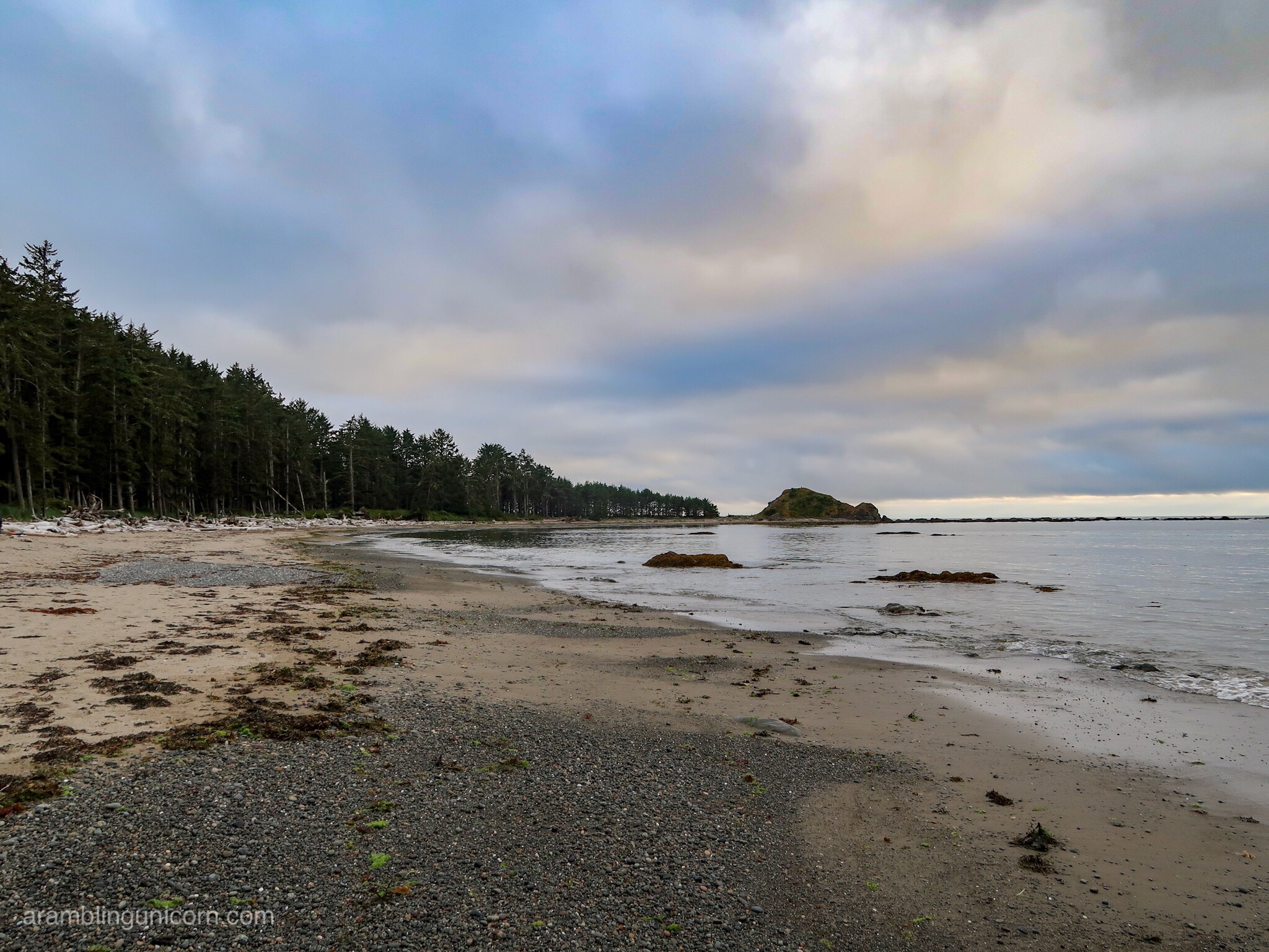
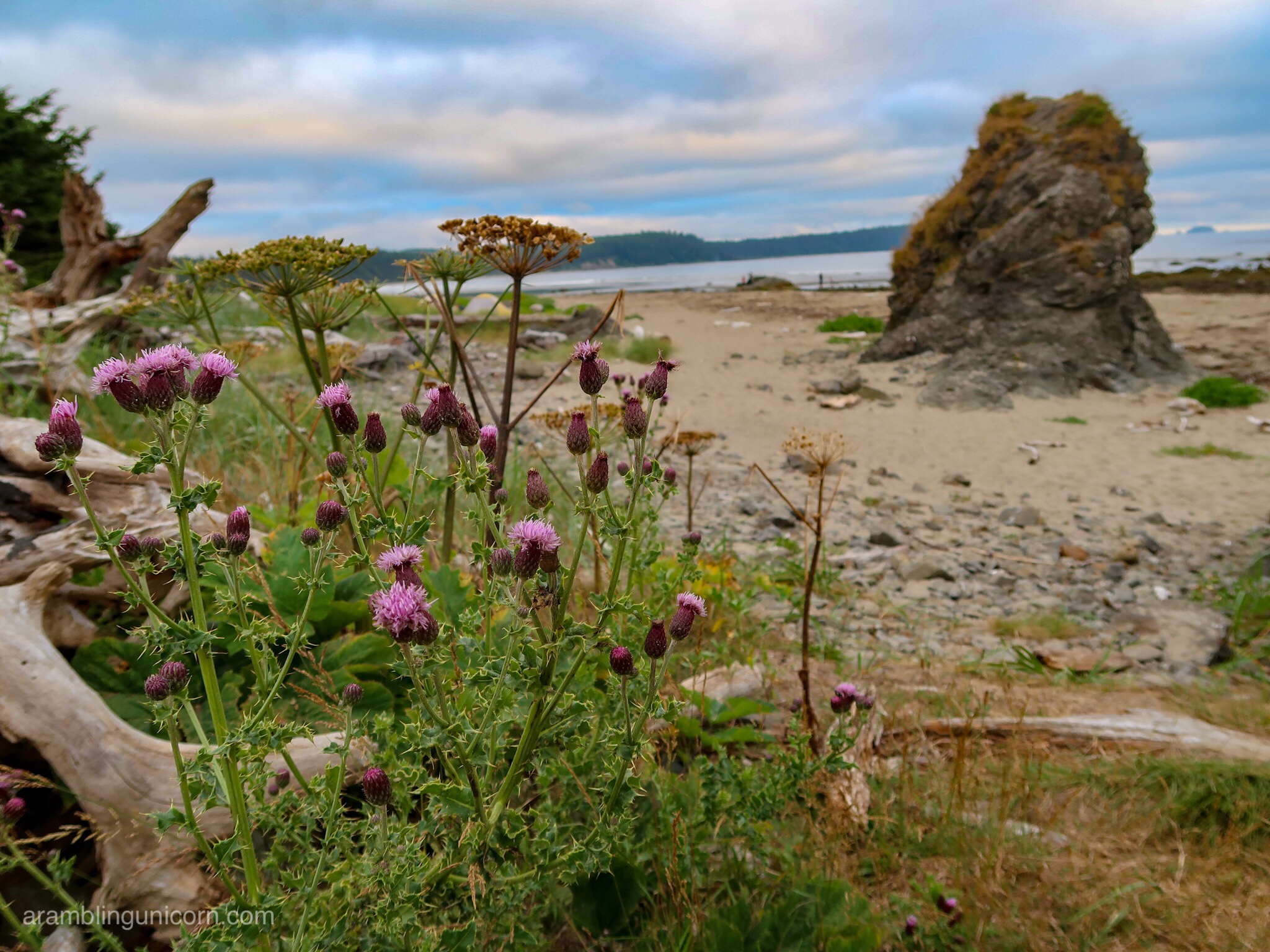
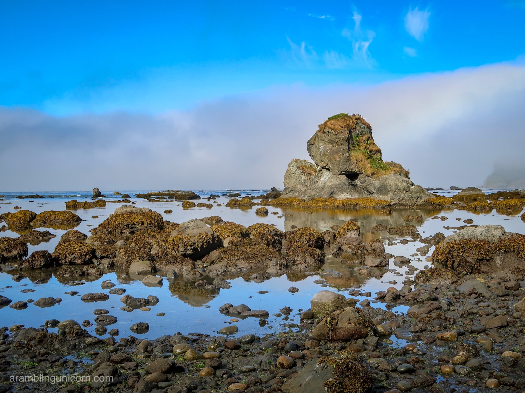
The beach at Sand Point
Moody clouds
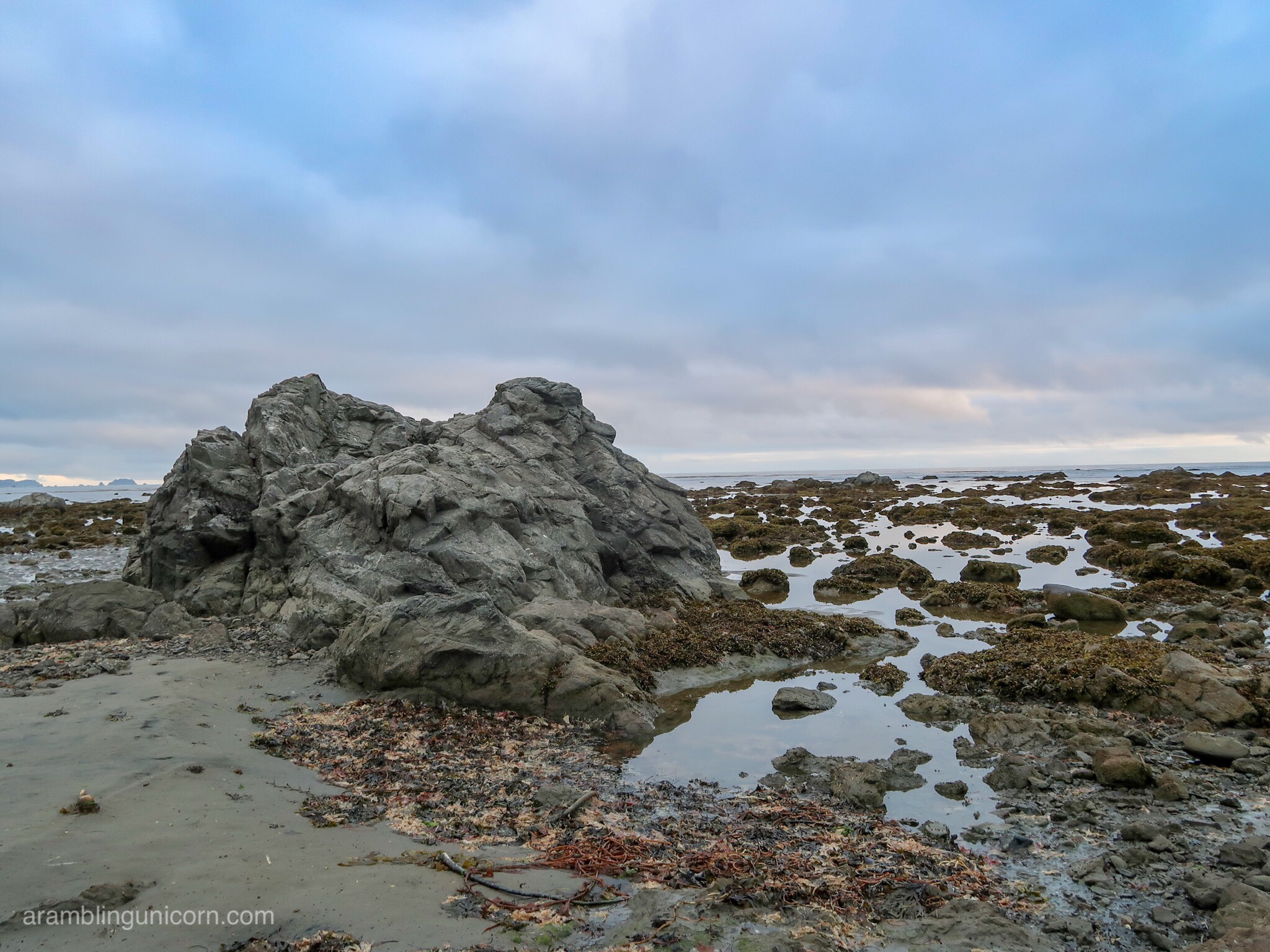
Rugged rocks along the shore
After setting up our tent, we found a dead seal on the beach nearby along with some bear prints in the sand. Yikes! We were both a little spooked and considered moving but ultimately decided to stick it out.
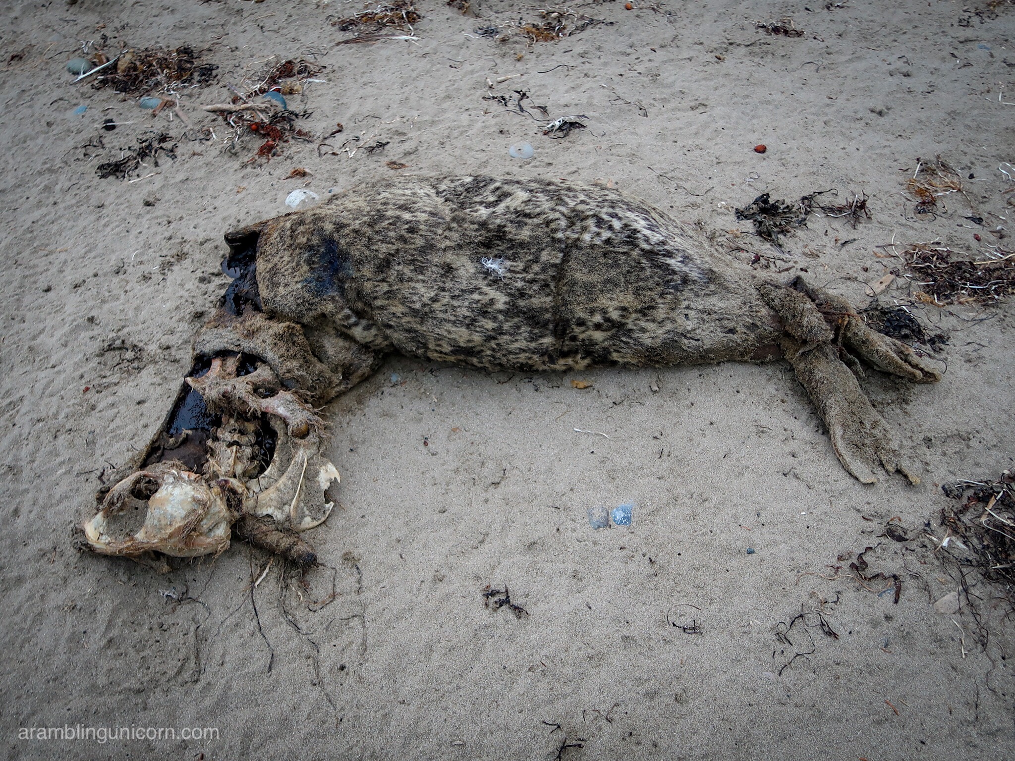
Dead seal in front of our camp site
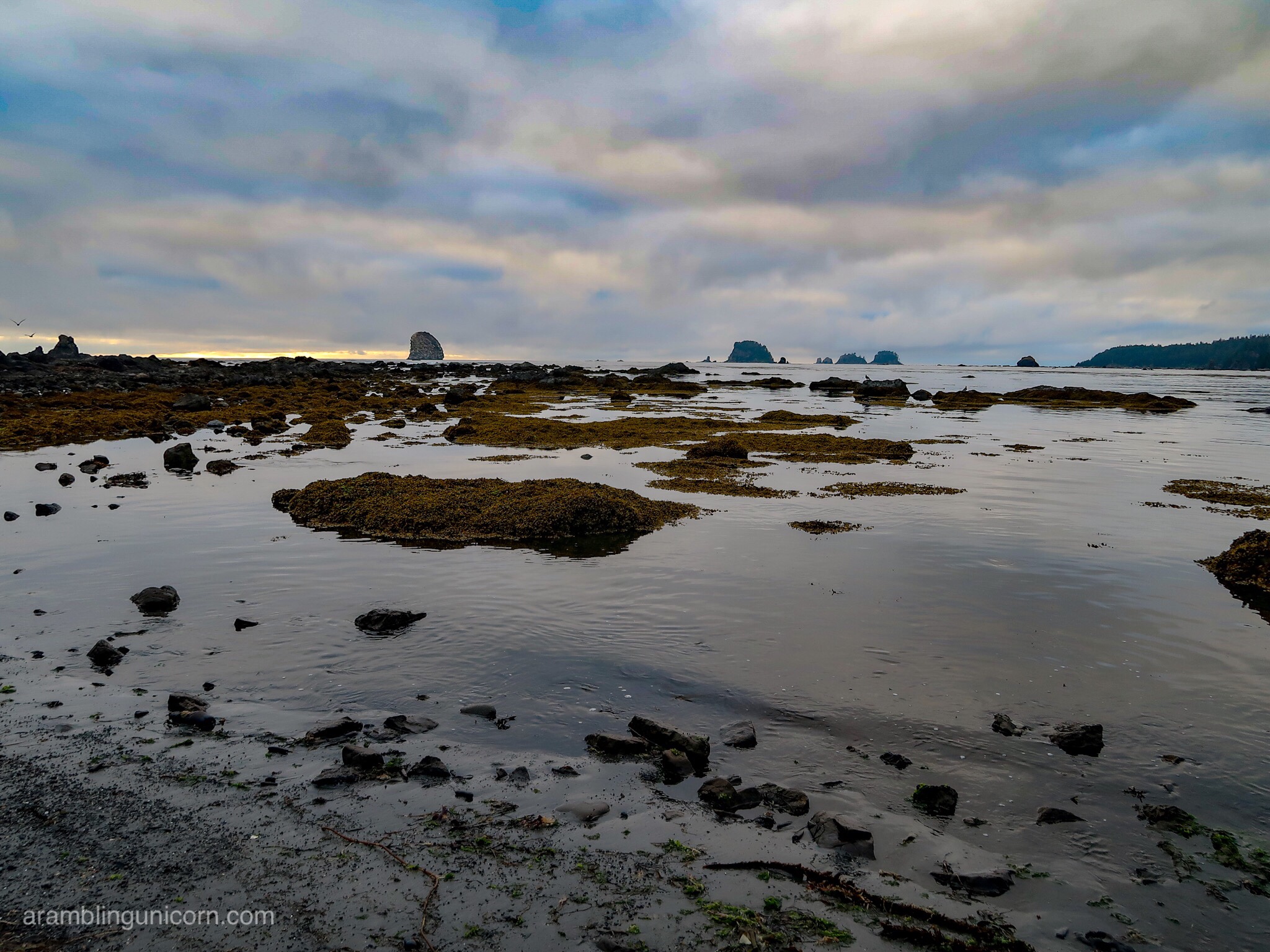
Clouds shrouded the sky, covering all but a tiny strip of horizon. Sunset was a muted affair, dampened by the heavy clouds. I had hoped to leave off the rainfly, but we affixed it at the last minute. And we were glad we did, as you’ll find out in my next blog post.
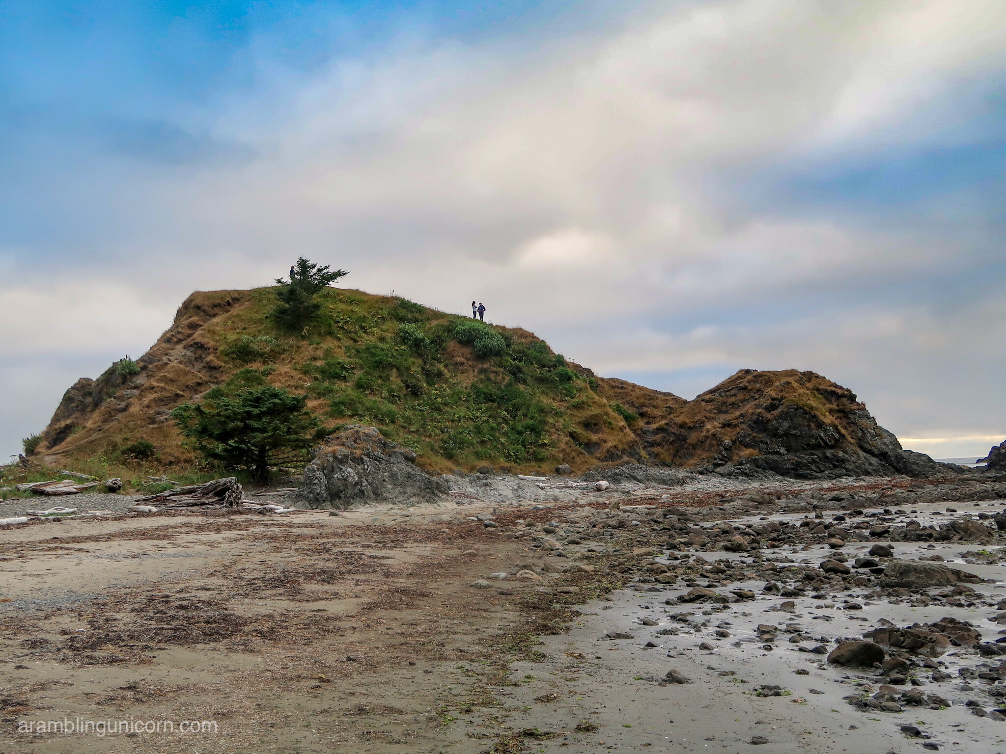
Sand Point
The view from Sand Point
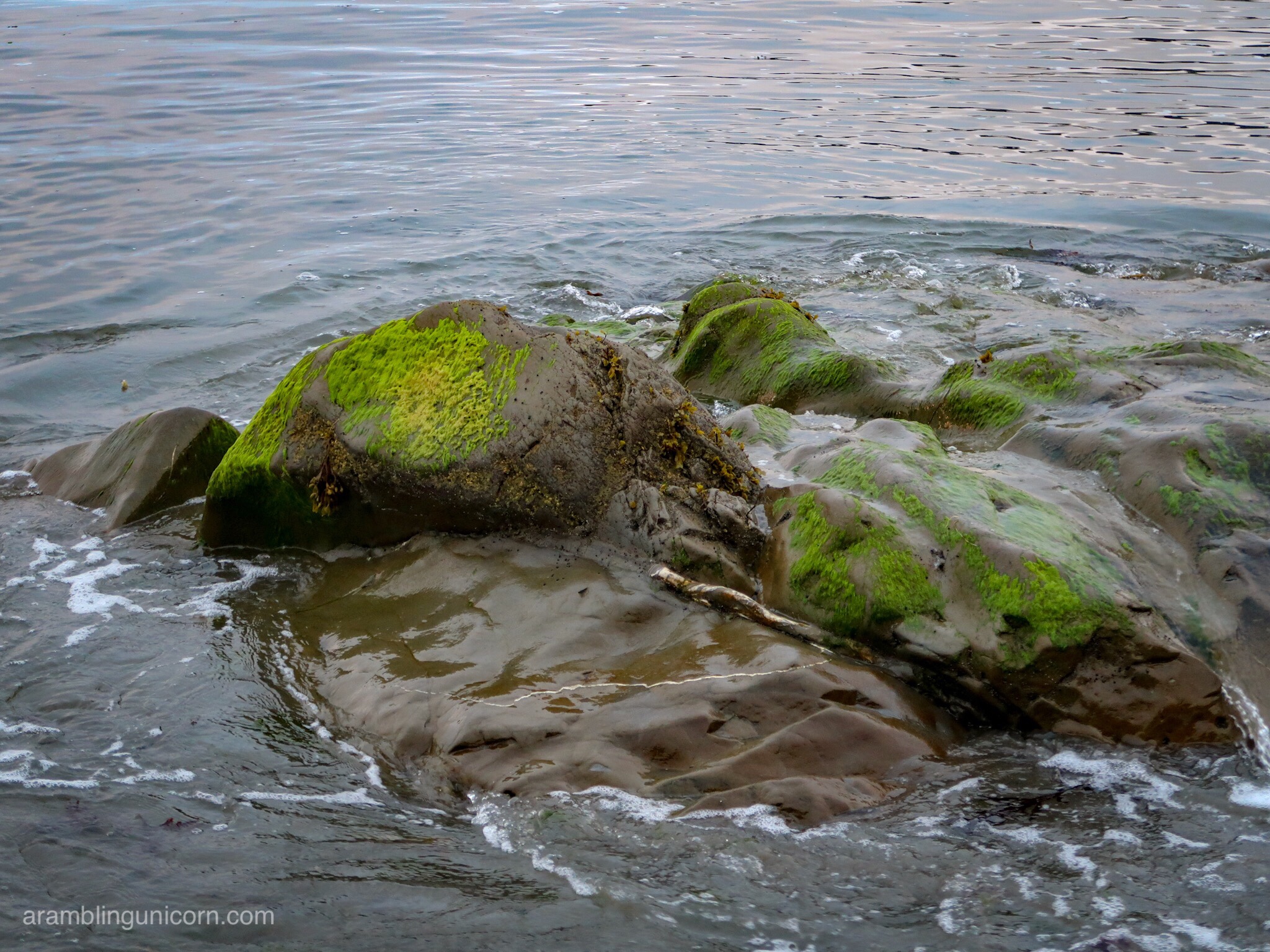
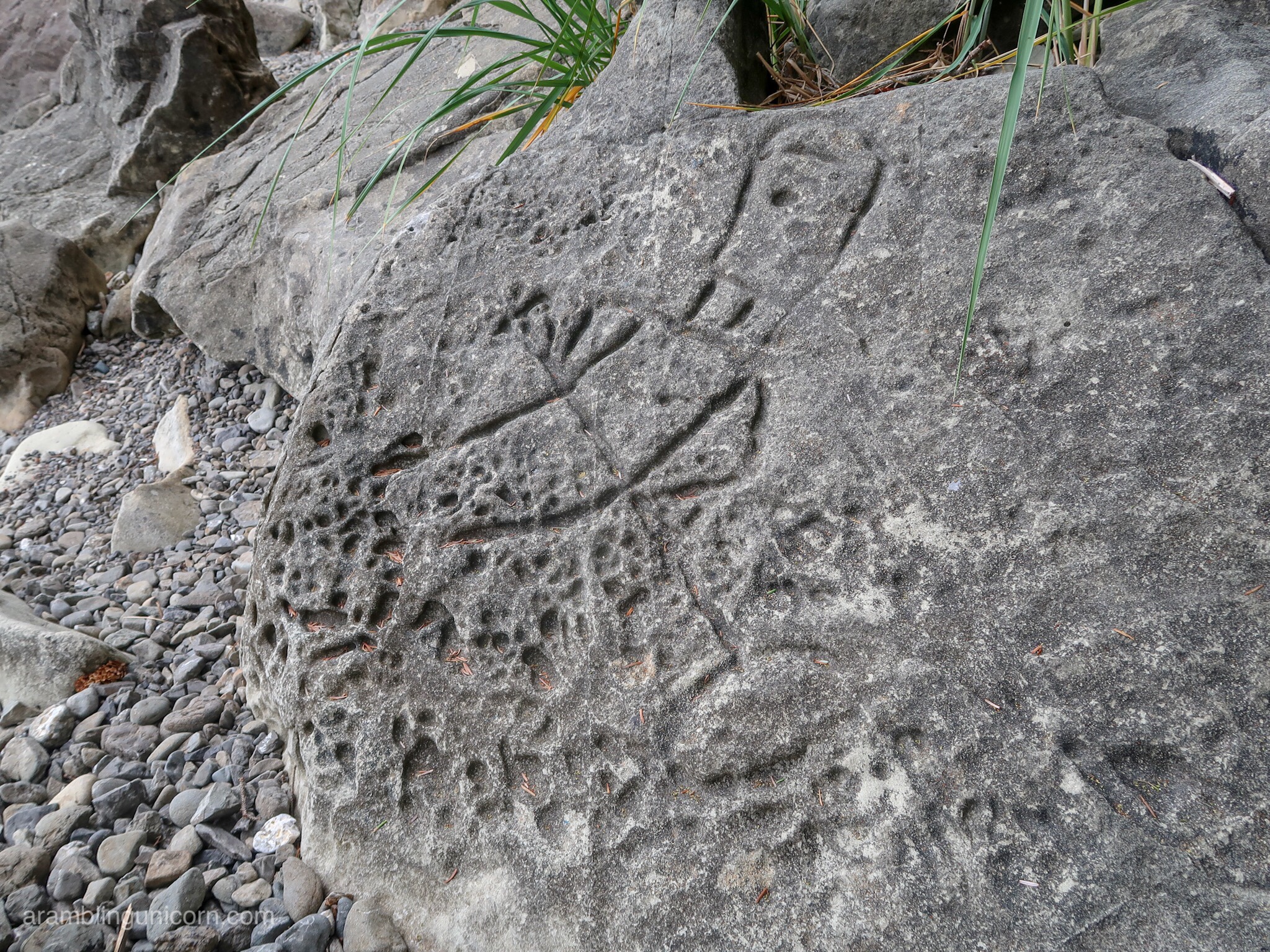
Mossy rocks
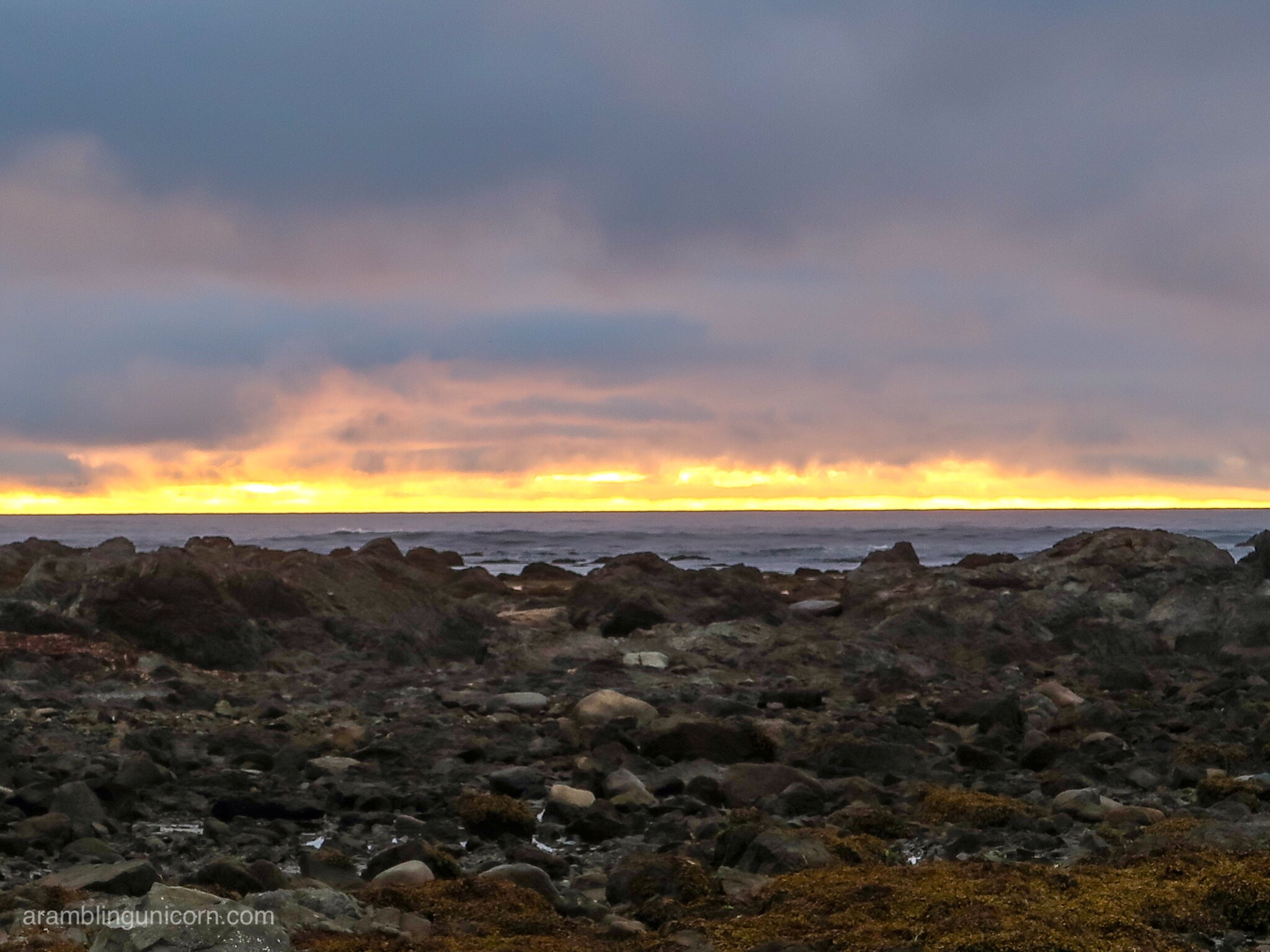
Sunset from our camp site
The adventure continues:

0 Comments