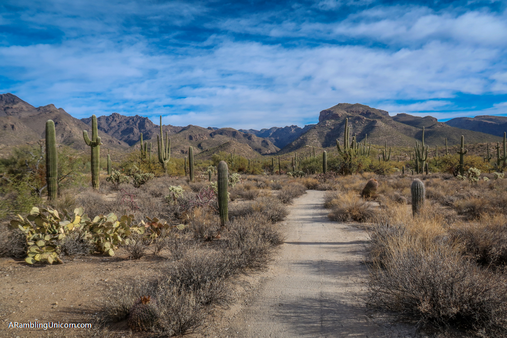
Sabino Canyon Recreation Area is an amazing place to get acquainted with desert life. From soaring mountains and deep canyons to unique plants and animals found only in the Sonoran Desert, the canyon is a truly special place. Miles of Sabino Canyon trails provide opportunities for walkers of all skill levels to enjoy the great outdoors – including visitors with wheelchairs and strollers.
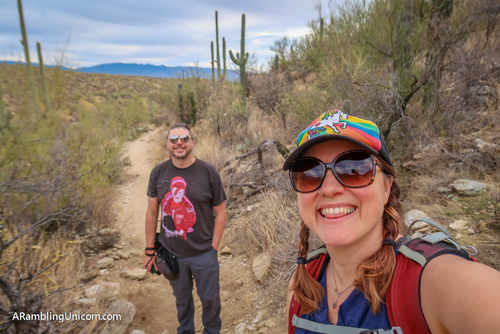
When my husband Daniel and I visited Tucson and Saguaro National Park in 2020, we decided to check out Sabino Canyon because it was located nearby and easy to access. We were blown away by the gorgeous desert scenery and variety of hiking options available.
This article will introduce you to some of the best trails in Sabino Canyon that showcase the beauty on offer in this area. The trails range from fairly easy to difficult for those who want more of a challenge.
A word of caution: please do not feed the wildlife in Sabino Canyon or in any other wilderness area. We had a wildlife encounter in Sabino Canyon that unfortunately did not end up well for the animal involved. Continue to the end of the article to read the whole story.
Table of Contents
About Sabino Canyon Recreation Area
A part of the Coronado national Forest, Sabino Canyon Recreation Area came under federal management in 1905 courtesy of the newly created U.S. Forest Service. During the Great Depression, laborers built Sabino Dam and nine bridges over Sabino Creek as a part of various New Deal programs. They also started building a road to the top of Mount Lemmon – but this project was eventually abandoned due to the canyon’s steep terrain.
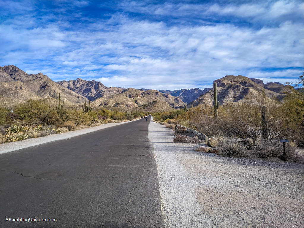
The 4.5 mile-long road into Sabino Canyon still exists to this day, although cars are no longer allowed on it. Tour shuttles are the only vehicles allowed on the road these days and provide a great way to see the canyon and the foothills of the Catalina Mountains.
The tram drops off visitors to various points where they can explore Sabino Canyon trails further on foot. The paved road also provides easy access into the canyon for visitors in wheelchairs and with strollers. Bikes are also allowed but only in the evening hours.
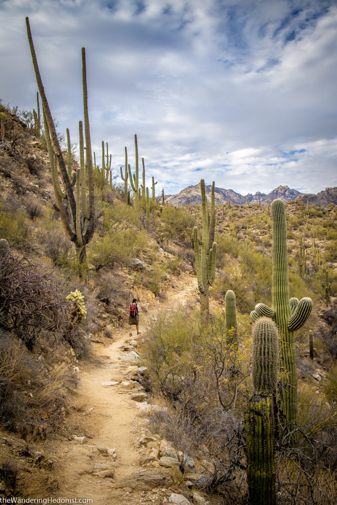
Hiking in the Sabino Canyon Recreation Area. Photo by The Wandering Hedonist
Two Easy Sabino Canyon Trails
These two trails are relatively easy ones that should be accessible for walkers of most skill levels, including families with children.
Sabino Lake Loop
Distance: 2.3 miles
Elevation Gain: 144 feet
Trail Type: Loop
Difficulty: Easy
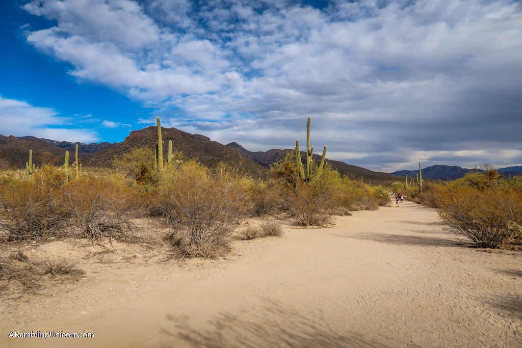
At 2.3 miles in length, Sabino Lake Loop is an easy introduction to the Sabino Canyon Recreation Area. The trail starts at the Visitors Center and heads east along Bear Canyon Trail #29. This is a wide trail that provides plenty of room for social distancing.
The trail passes the .2 mile Bajada Loop Nature Trail (an even shorter and easier trail) near the Visitor’s Center before continuing east.
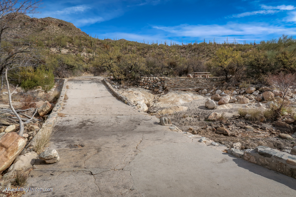
After half a mile, the hike turns north onto Sabino Lake Trail #30. This is a much smaller and less travelled path that follows the side of the hill above Sabino Creek. When we hiked the loop, Daniel and I took a short detour near Sabino Dam to go check it out.
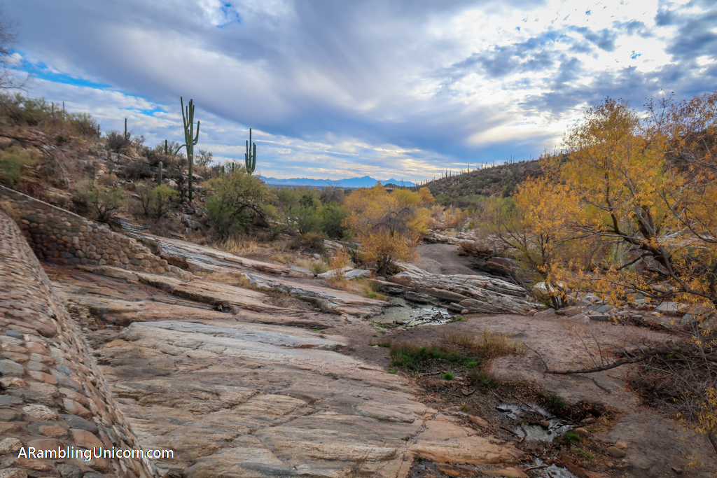
Unfortunately, the region was experiencing extreme drought during our visit and the lake was completely dry. There are lots of picnic tables and shelters near the dam as it is a popular place to hang out.
After exploring the area near the dam, Daniel and I turned onto Bluff Trail #51. This is a short trail with fabulous views of Sabino Canyon and connects the Sabino Dam area with Sabino Canyon Road.
As previously mentioned, no cars can drive on this road (except for the tram). A trail parallels the road most of the way back to the Visitor’s Center for those who want to avoid the blacktop.
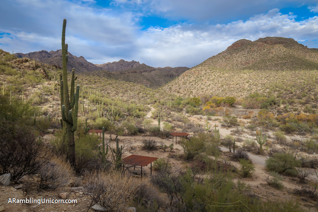
Sabino Lake, pictured below, was dry during our visit. Lots of picnic shelters are available in the area around the dam.
Sabino Lake-Creek Trail-Rattlesnake Trail-Esperero Trail Loop
Distance: 3.8 miles
Elevation Gain: 272 feet
Trail Type: Loop
Difficulty: Easy
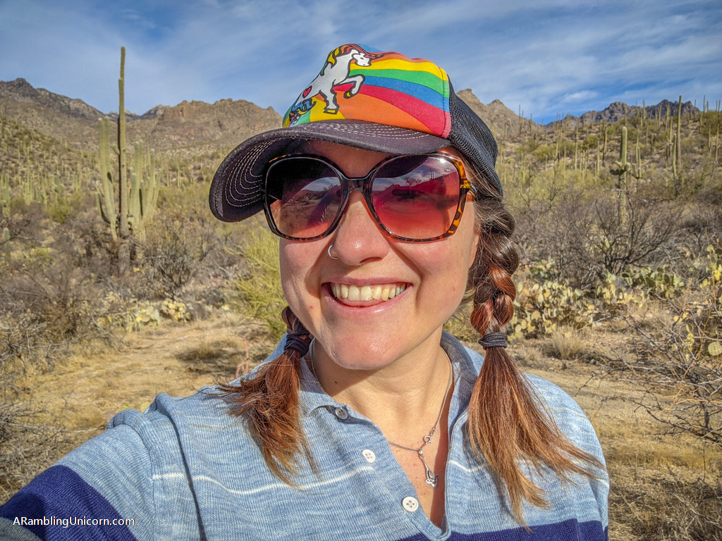
On my birthday, I returned to Sabino Canyon and treated myself to a solo hike. I was ready for a slightly bigger challenge so I chose the Sabino Lake-Creek Trail-Rattlesnake Trail-Esperero Trail Loop. This is similar to the Sabino Lake Loop that Daniel and I hiked previously except it is extended by 1.5 miles.
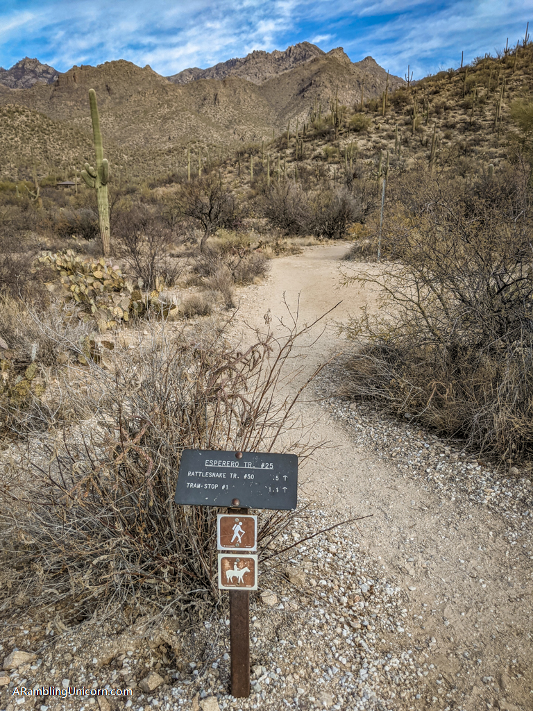
I decided go in reverse direction this time so I headed northeast from the Visitor’s Center along Sabino Canyon Road. After about half a mile, I headed north along Esperero Trail #25 until I reached the junction with Rattlesnake Trail #50. Beyond this area to the north is the Pusch Ridge Wilderness. If I had more time and was in better shape I would have loved to hike all the way to Mount Miguel. Ah well. Maybe some other time.
So I turned onto Rattlesnake Trail #50 and started heading southeast. At this point, I ran into some other hikers who struck up a conversation. We were traveling the same way and so hiked together across Sabino Creek and to the Sabino Dam area. After months of social isolation, it was really nice to have a conversation with someone other than my husband. A very nice birthday present if I do say so myself!
I bid my new friends goodbye at Sabino Dam and took the same route back that Daniel and I hiked earlier in the week except in reverse.
More Challenging Sabino Canyon Trails
Hikers wanting more of a challenge may want to check out some other hikes in Sabino Canyon. Here are some particularly good ones:
Bear Canyon to Seven Falls Trail
Distance: 8.3 miles
Elevation Gain: 1013Â feet
Trail Type: There-and-back
Difficulty: Moderate
One of the most popular trails in Sabino Canyon, Bear Canyon to Seven Falls Trail leads to the lovely Seven Falls. You can shorten the hike by taking the tram part way if you wish.
Blackett’s Ridge Trail
Distance: 5.7 miles
Elevation Gain: 1778 feet
Trail Type: There-and-back
Difficulty: Difficult
Blackett’s Ridge Trail is a steep yet rewarding hike to the top of a ridge with spectacular views.
Phoneline Trail
Distance: 9.4 miles
Elevation Gain: 1433Â feet
Trail Type: There-and-back
Difficulty: Difficult
Another popular hike in Sabino Canyon, the Phoneline Trail follows the southern side of the tram road. You can shorten the hike by taking the tram part way if you wish.
Preparing for a Hike in Sabino Canyon
Before starting out on this or any desert hike, be sure to bring plenty of water and sun protection, wear sturdy footwear, pack the 10 essentials, and leave no trace of your visit behind. If you need to use the bathroom during your hike, learn how to pee outside properly.
Here is some of my favorite hiking gear when venturing into the desert:
- Hiking Shoes – Sturdy hiking or walking shoes are a must. Personally, I’m a big fan of Altra Lone Peak Trail Running Shoes. I pair them with Dirty Girl Gaiters to keep sand and rocks from getting into my shoes.
- Socks – Good thick socks are also important. I usually wear a pair of double-walled Wrightsock Coomesh II socks with my Altras. For longer hikes, I switch to Injinji Midweight socks to prevent toe blisters.
- Backpack – A backpack is essential so you can carry water, layers, and snacks. I love Ospreys and use the Osprey Manta pack which is technically a men’s pack (because I have a longer torso than most women). The women’s equivalent is the Osprey Mira pack.
- Hiking Poles – Hiking poles reduce pressure on your joints and help maintain your balance if you trip. My current favorites are the LEKI Micro Vario Carbon Trekking Poles because they are super lightweight and fold down to easily fit into my suitcase.
- Sun Hat – Protect your face (and scalp) with a broad sun hat. This sun hat is great because it has a wide brim and no back so it doesn’t bump into my backpack.
- Sun Shirt – Protect your neck and arms from the sun with a long-sleeved sun shirt. The Columbia Tamiami II is highly rated and comes with built-in UPF 40 sun protection.
- Sun Screen – Apply sun screen before hitting the trail and bring some along in case you need to reapply. I like these Banana Boat 1-oz tubes of sunscreen because they are super tiny and hardly take up any room in my bag.
- Camera – I love taking photos and always bring a camera along on my hiking trips. I use the Canon PowerShot G7X Mark II because it is lightweight yet has many advanced features.
- Electronics – if you are using your phone for navigation, bring a portable battery such as the Anker portable battery charger. For longer hikes or backpacking trips, consider bringing a Garmin InReach Explorer. This is a Personal Locator Device (PLB) that enables you to trigger a SOS call to search and rescue and 2-way texting over satellite.
A Word of Caution: Don’t Feed the Wildlife
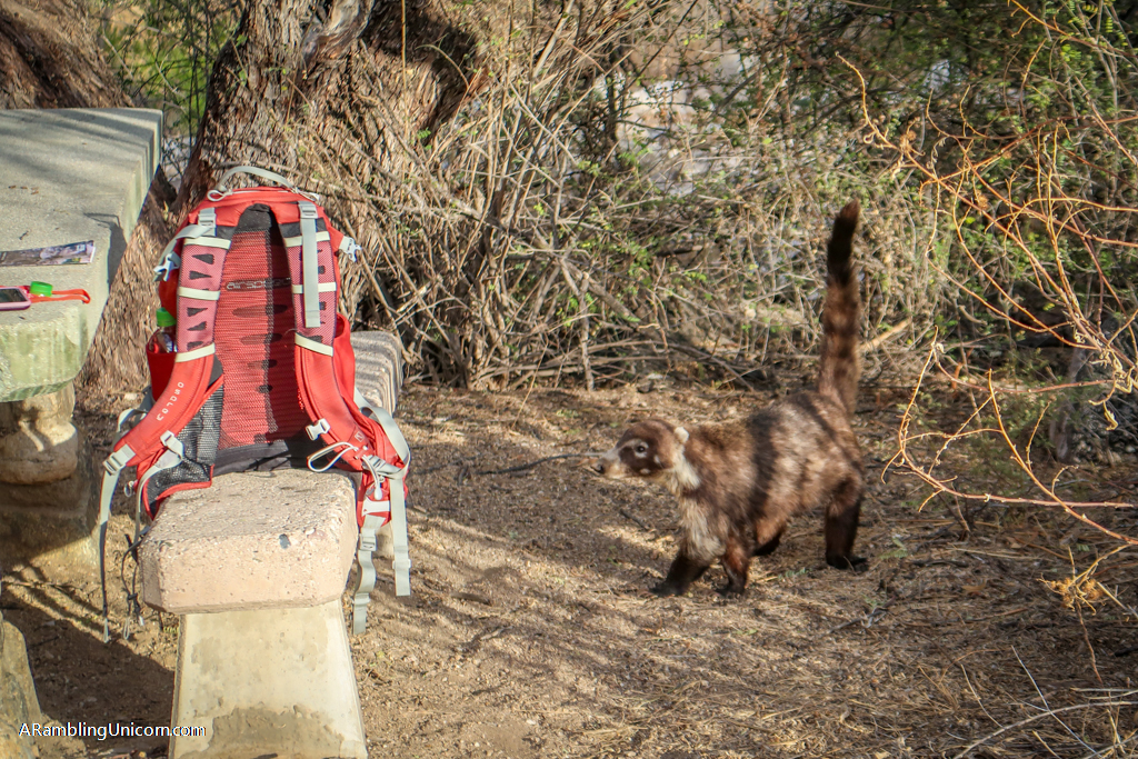
During the Sabino Lake Loop hike, Daniel and I had a rather unsettling wildlife encounter. An animal about the size of a small dog approached the picnic area where we were seated. I had never seen this kind of animal before and learned later that it was a coatimundi (which is related to a raccoon). This little guy clearly was used to being fed as it had no fear of people. In fact, we saw some other hikers feeding him Cheetos.
We gave him a wide berth and quickly exited the area. Wild animals can be unpredictable and I had no desire to get anywhere near this little fellow.
I recently learned that a coatimundi at Sabino Canyon had to be put down by Arizona Game and Fish Department. The animal had become aggressive and caused minor injuries to two people. I have no doubt that it was the same coati that we saw during our visit. Poor little guy.
This is why it’s important to never feed wild animals. It can cause them to become used to human food and behave aggressively, which ultimately can lead to their deaths.
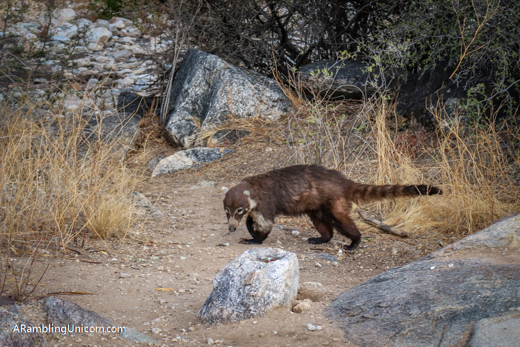
This poor coatimundi was later put down for behaving too aggressively towards people. This is why you should never feed wild animals.
More Information and Resources about Sabino Canyon
There is an $8 fee to park at Sabino Canyon Recreation Area (weekly and annual passes are also available). This fee is waived, however, for visitors with valid interagency passes. I highly recommend buying the America the Beautiful Interagency Pass which allows entry to all federal lands for an entire year – including all National Parks (Saguaro National Park is located near Sabino Canyon and shouldn’t be missed).
For more information about Sabino Canyon Recreation Area, including current hours and campgrounds, be sure to check out the official Sabino Canyon Recreation Area web site.
Check out the following books for more inspiration:
- Field Guide to Sabino Canyon: An Introduction to Familiar Plants & Animals – Pocket Naturalist Guide
- Five-Star Trails: Tucson: 38 Spectacular Hikes around the Old Pueblo – Rob Rachowiecki
Where are we now?
Like this article? Pin it!
Note: This post contains affiliate links, which means I may receive a commission if you click a link and purchase something. While clicking these links won’t cost you anything, they will help me to keep this site up and running!








I have never seen that animal either! The trails looked awesome and I’m saving this for when we visit the Tuscon area. Thanks!
Thanks!
The park is beautiful, I’d love to go desert hiking sometime. You’re so lucky to have seen a coatimundi, I love seeing wildlife (at a safe distance!).
Thanks Shannon! I agree, I feel so lucky to have seen the coatimundi. It was a pretty cool experience.
I love the look of Arizona, I’ve always wanted to visit and see the giant cacti and hike there. It looks so different from where I live. These look like really nice trails. That coatimundi is so cute, which makes it even sadder that people always feed wildlife which inevitably means they get aggressive. I’ve never heard of the animal before but that would be something really cool to see in the wild (from a distance, without feeding it)
Thanks Emma! I hope you make it to Arizona sometime. I hadn’t expected to love it so much. I can’t wait to go back.
It’s great to know that there are some easier walking trails in this area for people to go on! These two look really nice to hike through!
Thanks Krista!
That must have been so exciting to see the coatimundi! What a beautiful place, I would love to visit southern AZ someday. I enjoyed looking at your photos so much–and I love your rainbow unicorn hat! 😀
Thanks Maura!
Definitely adding this to the list next time I visit Tucson! Thank you so much for sharing!
You’re welcome!
I just love the feel of Arizona.