The more I travel around Europe, the more Camino routes I find. I already know about the most popular routes, including the French Route and the Portuguese Way. But there are lots of lesser known routes which also all lead to Santiago de Compostela.
Now that I know what to look for, I’m finding the tell-tale signs in the most unusual places.
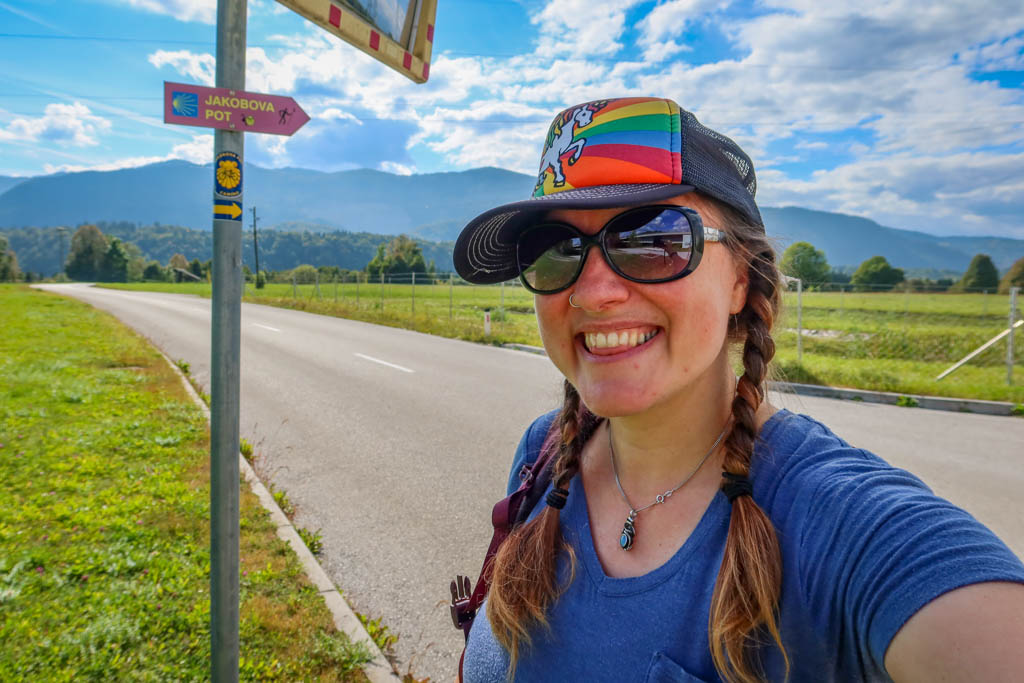
When I was in Krakow last month, I stumbled across the Via Regia Camino route which runs all the way from Moscow to Spain. I didn’t know this route even existed until I found a seashell sticker affixed to the back of a stop sign.
So it wasn’t a huge surprise when I discovered that a Camino route goes through Slovenia as well. The route is called Jakobova pot Slovenija, which translates to Jakob’s Way in Slovenian. Jacob is another form of the word James, and the full official English name of the trail is called the Way of St. James in Slovenia.
Since I am currently training for my own pilgrimage on the Portuguese Way (aka the Camino Portugués) in early October, I was eager to check out the Camino here in Slovenia. Walking the Jakobova Pot seemed like a great opportunity to get acquainted with the incredible scenery and train for my upcoming Camino at the same time.
As luck would have it, the Jakobova Pot goes right through Bled – which is where I am currently staying. So this morning I filled my backpack with everything I plan to bring on my upcoming pilgrimage and hit the trail.
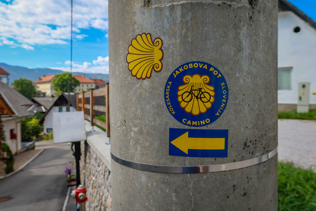
Jakobova Pot Camino trail sign
Table of Contents
Beginning the Jakobova Pot at Lake Bled
I decided to start my walk at Lake Bled, which is one of the most beautiful places I’ve ever seen. The Jakobova Pot trail encircles half of the lake and features incredible views of Bled Castle as well as the Julian Alps in the distance.
I’ve already walked around Lake Bled a couple of times so I just walked a small portion of the lakeside trail until the Camino headed east towards Ljubljana.
I should also mention that I decided to hike the Jakobova Pot eastward because it was easier to take a bus back to Bled afterwards. This is the opposite direction that most people walk along the trail (since the whole point is to walk towards the Camino de Santiago in Spain – which is west of here).
So… all of the trail markers were facing the opposite direction. They were a little hard to find actually until I started looking backwards.
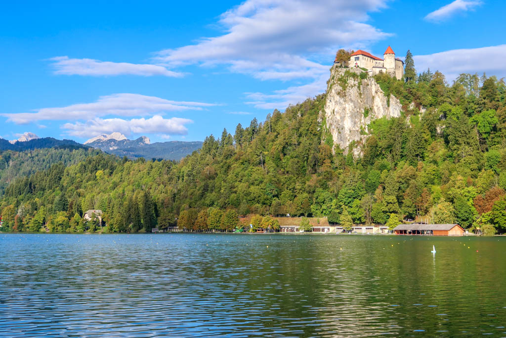
Bled Castle above Lake Bled, with the Julian Alps in the distance
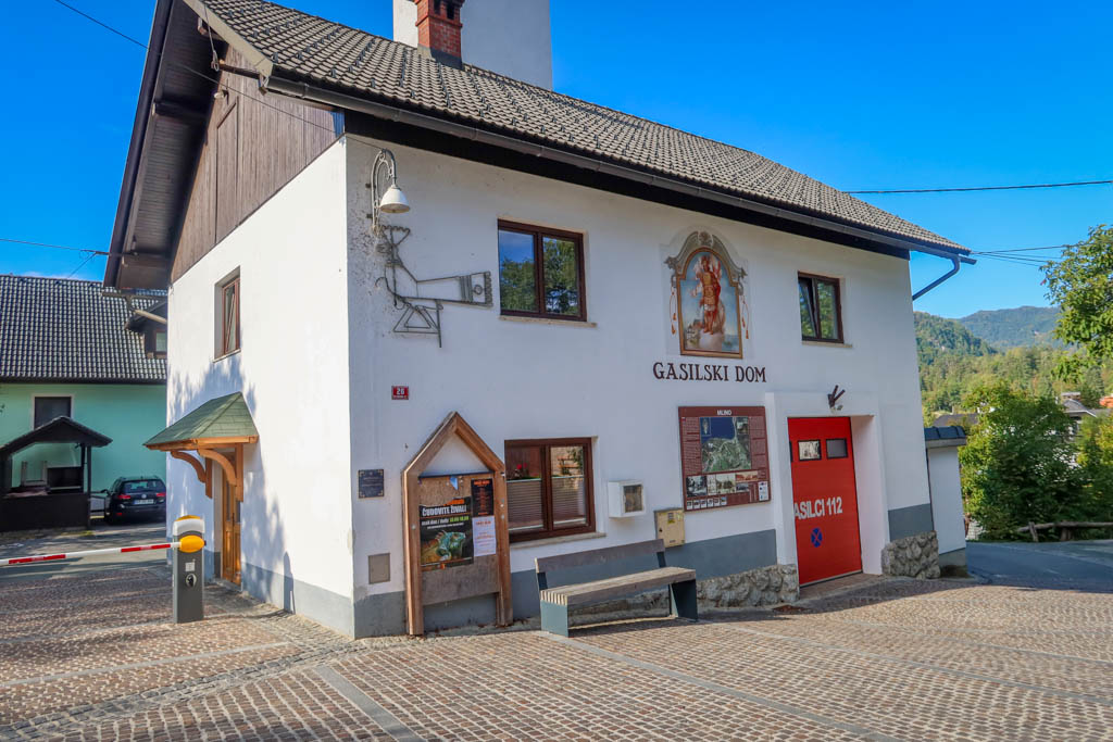
Mlino Fire Station near Lake Bled
Ribno
After leaving Lake Bled and passing through the small community of Mlino, the path continues east through the countryside. The road passes through farmland and via some wooded areas before eventually reaching the small town of Ribno.
At Ribno I passed the first major waypoint along the Camino, the Church of Saint Jacob which dates back to the year 1400. The building combines both Baroque and Gothic architectural styles.
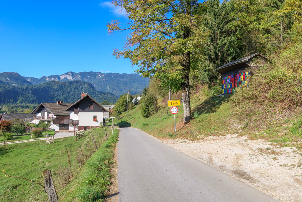
Walking through Selo on the way to Ribno. The multicolored boxes on the right are bee hives.
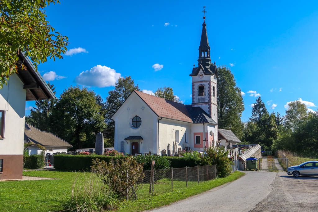
Church of Saint Jacob in Ribno
BodeÅ¡Äe
The next town along the route is BodeÅ¡Äe. The Church of St. Lenart is the major waypoint here, located 3.8 miles (6.1 km) from my starting point. This church dates back to the beginning of the 15th century in the gothic style.
I stopped here for a snack and to admire the view. The Julian Alps are just visible above the distant hilltops towards Lake Bled.
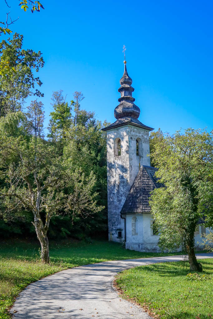
Church of St. Lenart in BodeÅ¡Äe
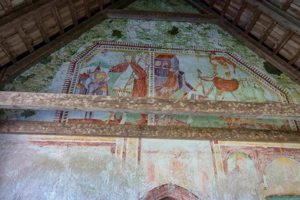
Frescoes on the Church of St. Lenart
Walking along the Sava River
After taking my leave from the Church of St. Lenart, I headed south across the Sava River.
The Camino winds through the woods for the next mile or so next to the river. It’s a really lovely stretch of trail along a shaded gravel road. I had no idea this part of the Camino was so wild.
And once the path breaks free of the trees, the mountain views are incredible.
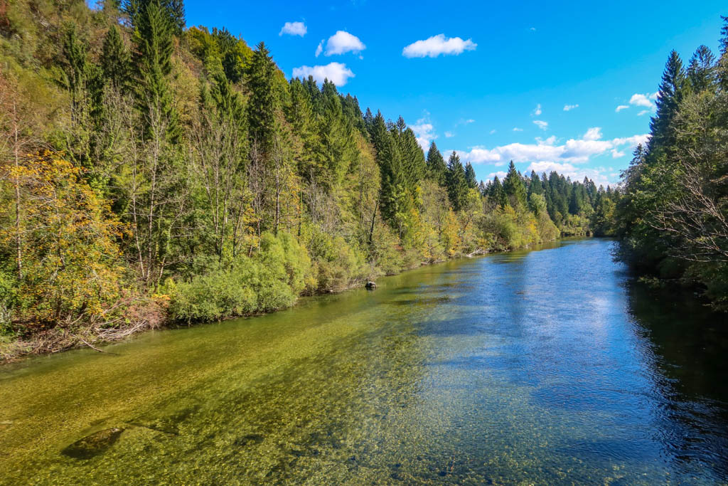
Crossing the Sava River
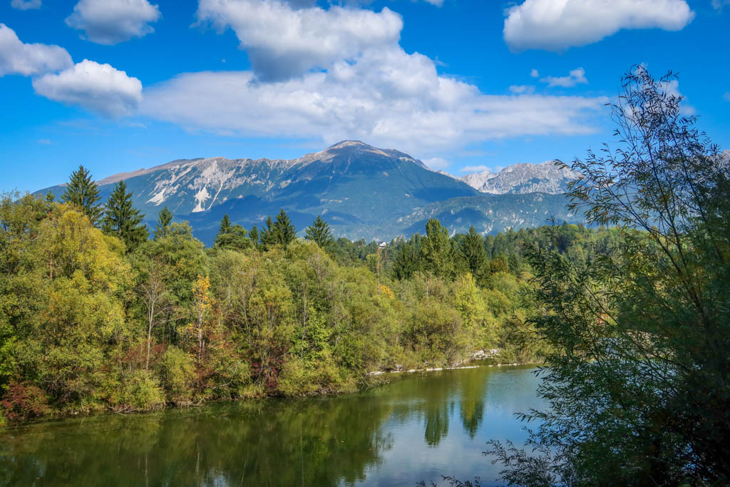
View of the mountains from along the Sava River
Radovljica
Around lunchtime, I found myself strolling through the charming city of Radovljica. It’s the largest town I encountered on my walk today after leaving Bled. The city features a charming Old Town with a car-free pedestrian zone.
I was tempted to stop and eat lunch at one of the cafes in Old Town, but I decided against it. I didn’t have much free time in my schedule today in order to make my bus on time.
So, I stopped at Mercator (a chain of small local grocery stores) and bought a sandwich to-go. I ended up eating the sandwich a few minutes later at a gas station… which wasn’t terribly inspiring but it had picnic tables and a bathroom. Yay!
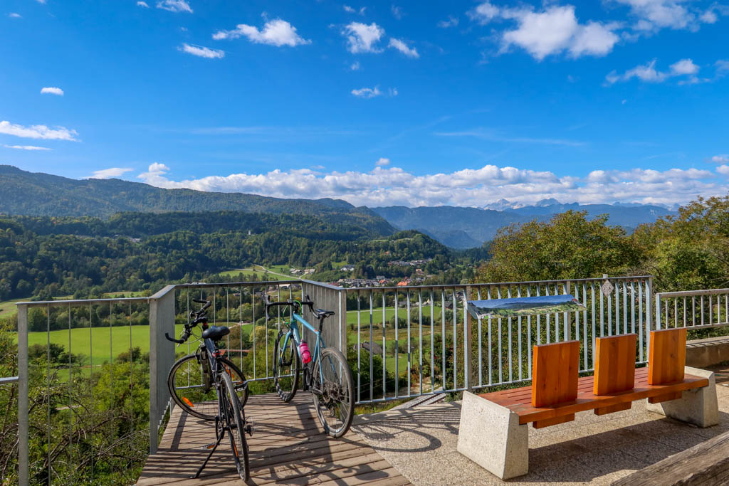
View of the countryside from an overlook in Radovljica
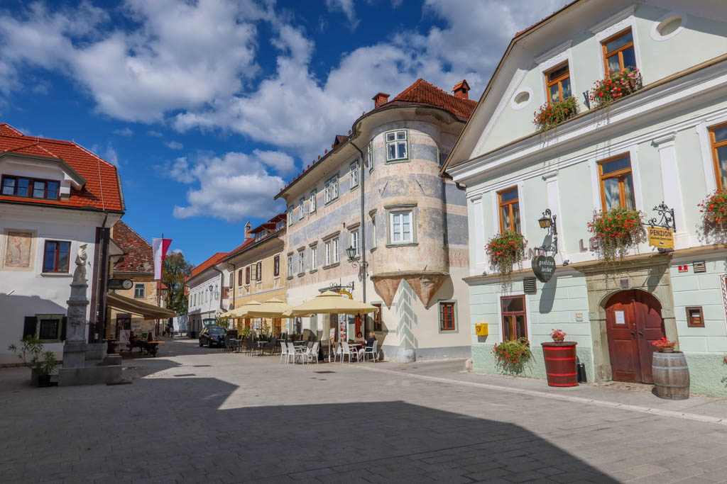
Radovljica’s Old Town
Brezje
My last major waypoint of the day was at the Basilica of the Virgin Mary in Brezje. I crossed under two different highway overpasses and past the town of Mošnje on the way.
The church is apparently a very important pilgrimage site. It is situated in a large square which seems a bit out of place for such a small town.
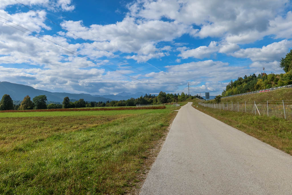
Walking towards Mošnje en route to Brezje
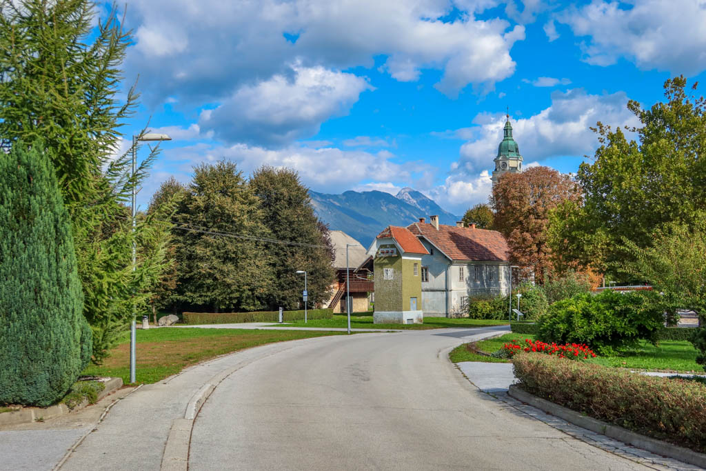
Brezje, with the Basilica of the Virgin Mary visible in the background
Ending the Jakobova Pot at Posavec
After taking a short break in Brezje, I checked the time and decided to end my hike in the next town. I had initially planned to walk all the way to Podbrezje, but it was becoming evident that I wasn’t going to make my bus. The next one didn’t run for 4 hours so I was pretty motivated to make this one.
I was happy with my progress, however. 12.8 miles isn’t bad! I’m feeling ready to hike the Portuguese Camino!
Pro Tip: be sure to check the bus schedule online for the latest timetables. You can find them at the Arriva Slovenia web site.
Jakobova Pot Hike Details
- Distance: 12.8 miles
- Elevation Gain: 1188 feet
- Starting Location: Lake Bled near the Bled Casino
- Ending Location: Posavec
Here is the recording for my hike today:
Maps and GPS tracks for the entire Jakobova Pot Trail in Slovenia are available at the Slovenian Camino Maps page.


0 Comments