Mt. Teneriffe (partial)
12.2 Miles
3300 feet elevation gain
Mt. Teneriffe has been on my bucket list for a while but somehow I’ve never gotten around to hiking it. Located in the North Bend area, it’s situated right next to Mt. Si but attracts only a fraction of the crowds. The trailhead boasts a lovely new parking lot and was only half full when I arrived on Sunday morning at 8:30 am.
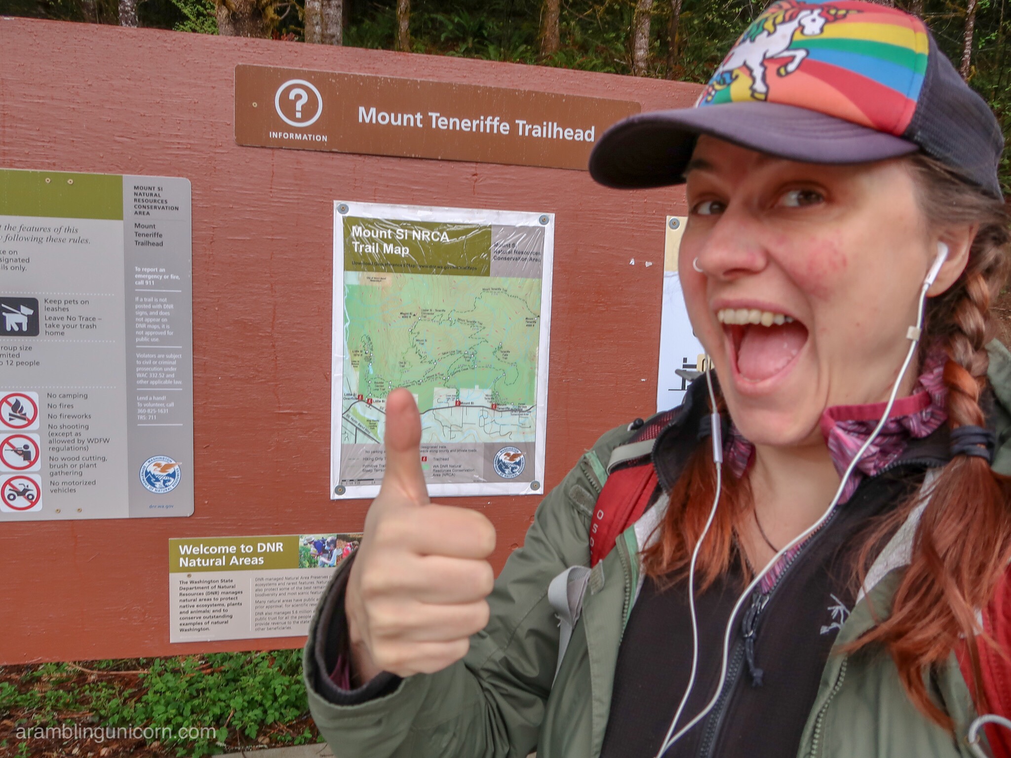
Trailhead Selfie
Most of the trail is a conversion of an old logging road, but the first half mile is a newer addition that connects to the new trailhead. I was immediately plunged into the hush of a mossy forest as I began my ascent. I said a friendly hello to a few other hikers but otherwise I had the trail to myself.
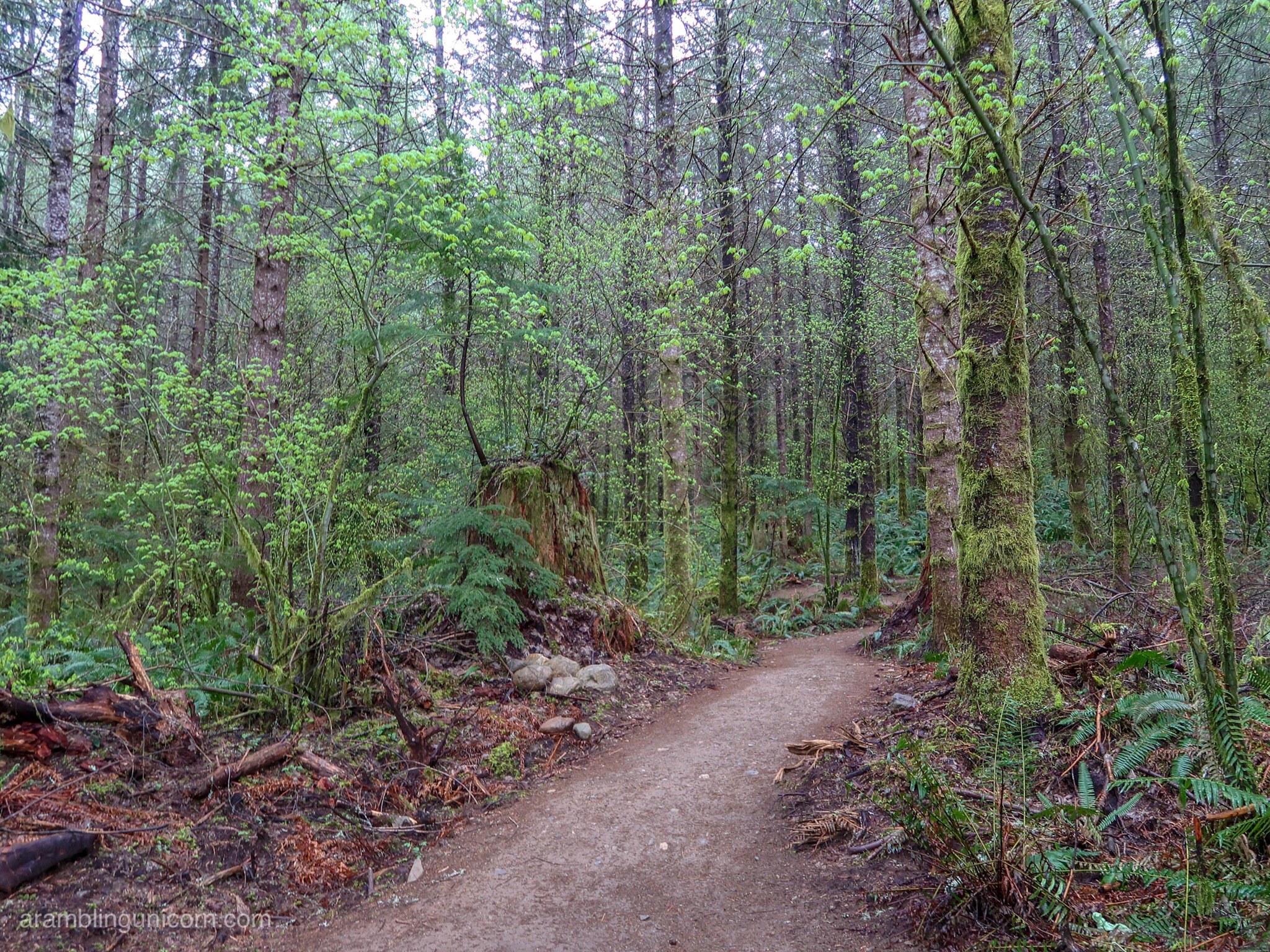
Welcome to the Forest
The elevation leveled out once I reached the old logging road and I made good time as I rambled through moss-covered trees. Rain threatened and I could see the top of the mountain was shrouded in clouds. There would be no view today.
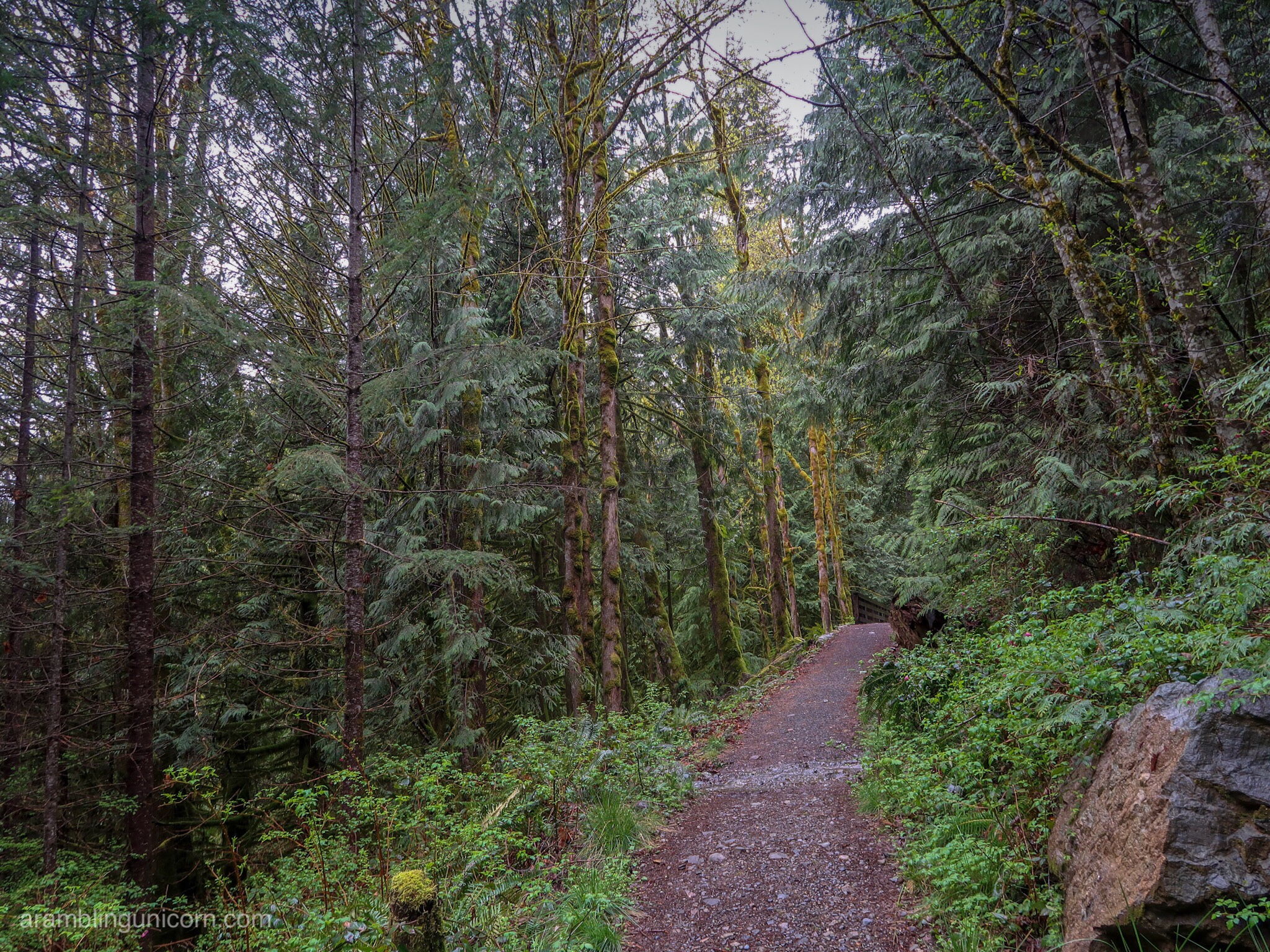
A ray of sunshine glimmers in the forest
After crossing several bridges and a turnoff for the Teneriffe Falls trail, the trail began to really climb. I was surprised at the grade of the trail for an old logging road.
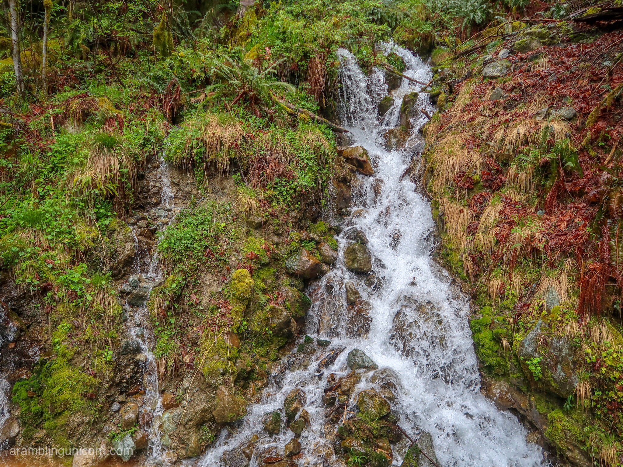
Water everywhere!
After pausing at a nice viewpoint of the valley below, I soldiered on. It was to be my only view of the day, as I soon entered a cloud and mist shrouded the trail.
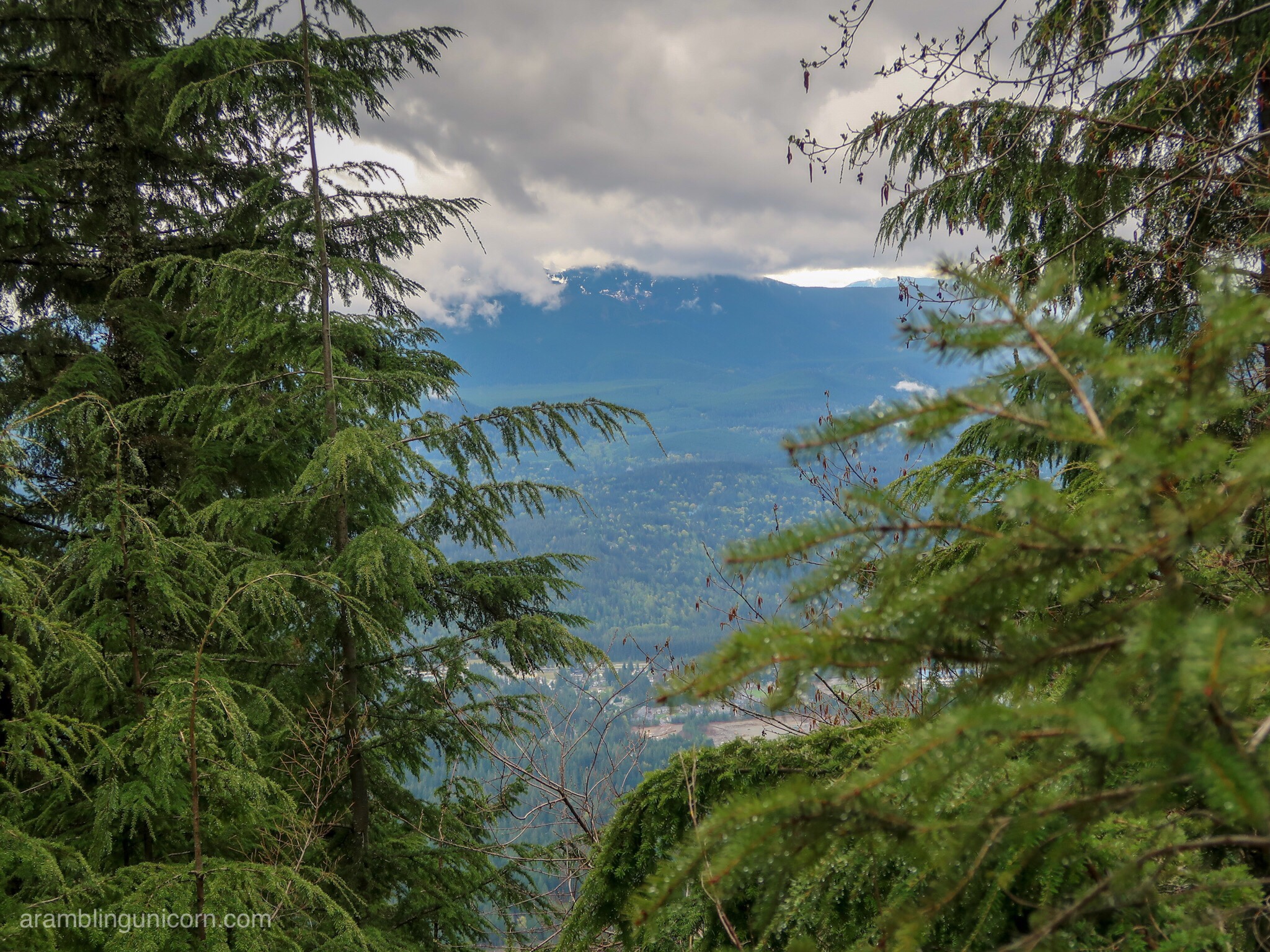
My one view of the day
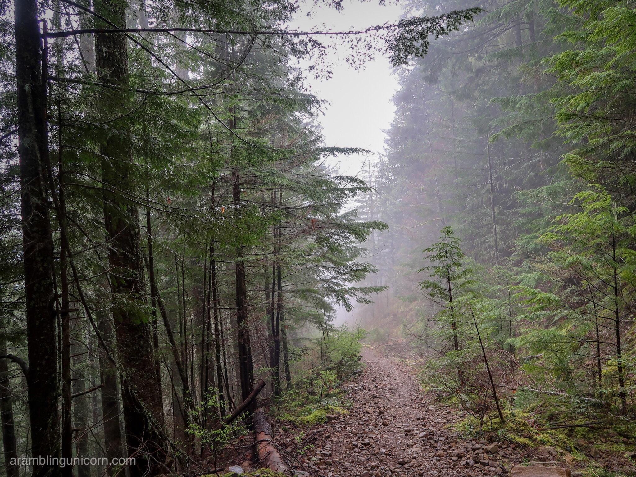
Hiking in a cloud
Snow began appearing on the trail in patches around 3500 feet. By the time I passed the turnoff for the Mt. Si connector trail, the snow was over a foot deep in places. I considered hiking over to Mt Si and then looping back downto Teneriffe via the Talus Loop Trail so I could keep my hike at a lower elevation, but I elected to keep going. I was curious to see where the Mt. Teneriffe trail led. I’d save that adventure for another day.
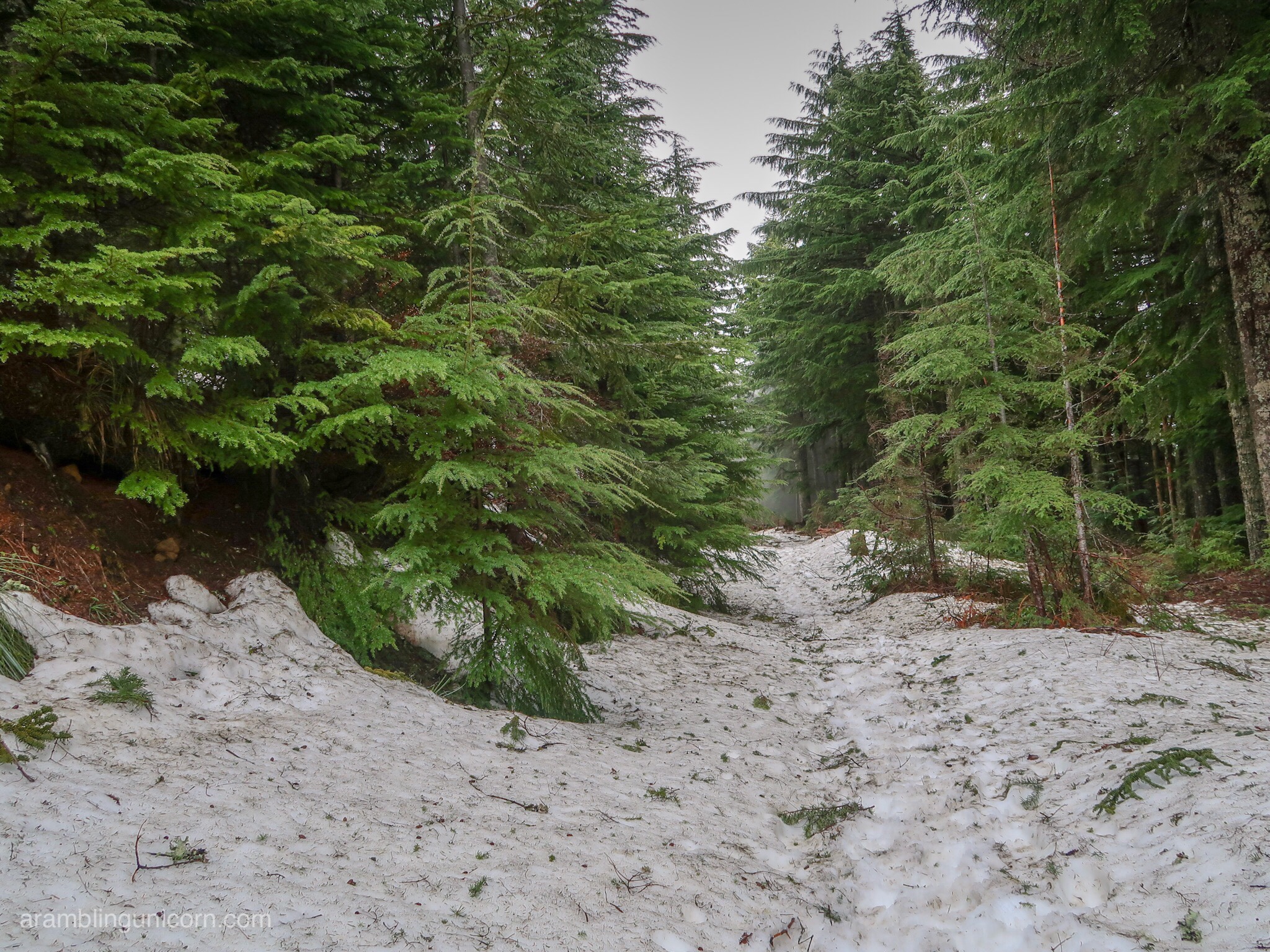
Snow!
I continued on for another mile and a half, slipping and sliding on the wet snow. I took care to follow the packed down snow in the middle of the trail, as any step off the trail resulted in post-holing up to my knees or higher. I considered putting on my microspikes but I didn’t think they’d be that helpful in these conditions.
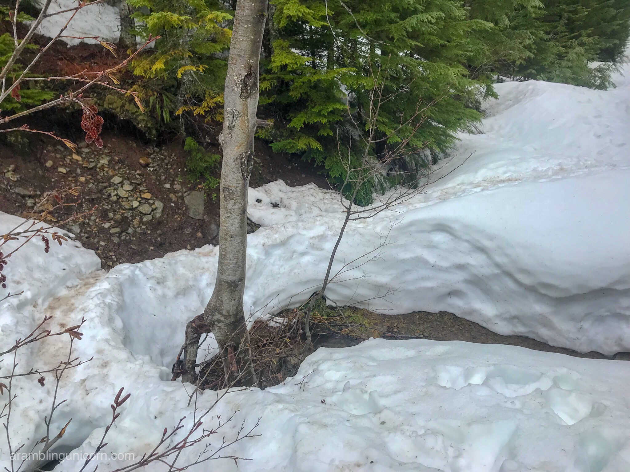
Crossing over a snow bridge
The trail crossed a few streams and I carefully clambered over 3-foot snowbanks on either side to reach the water. At this point I was relying heavily on my hiking poles to keep me upright.
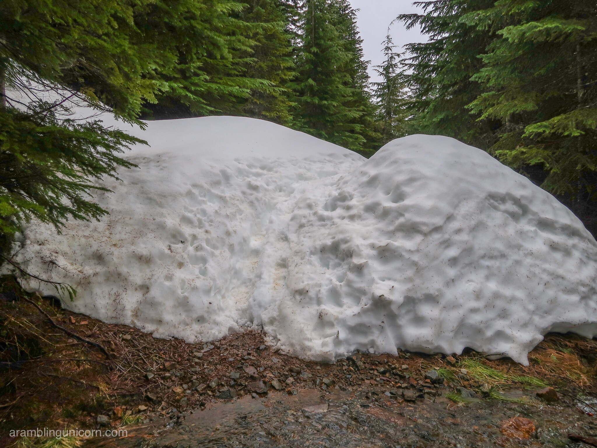
Steep snow banks on either side of a stream
I eventually decided to turn around at the junction of the logging road with a connector trail towards the summit. I had less than a mile to go but I was feeling tired. I was also a little nervous about continuing on such a slippery trail by myself. I had already fallen down multiple times and it felt risky to continue hiking solo.
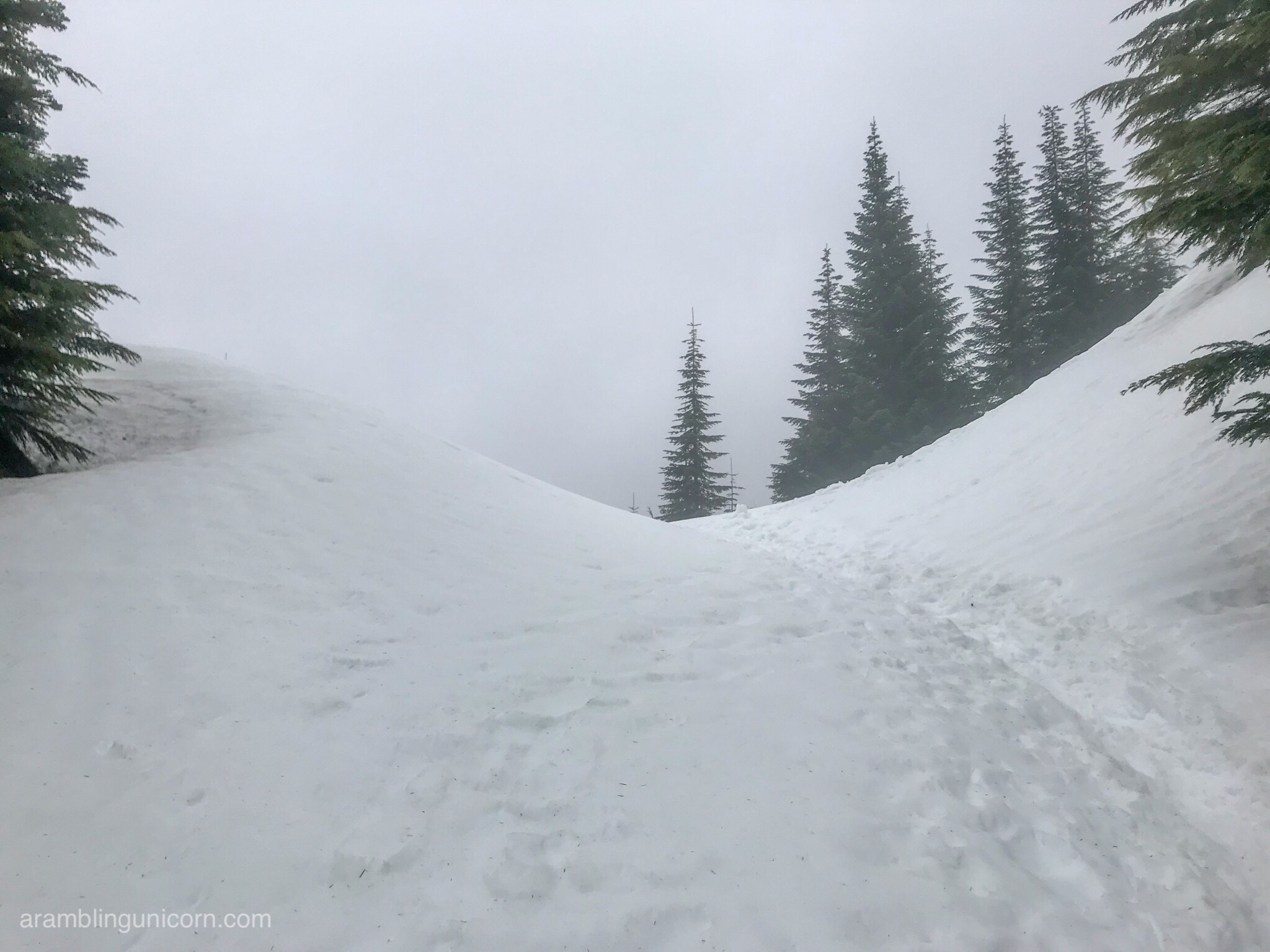
Ok I’m done hiking on snow for the day. Time to turn around.
As I began my descent, I passed two trail runners who bounded past me towards the summit. They both wore shorts and t-shirts and neither carried backpacks or hiking poles. I marveled at their ability to run on three feet of slush without falling on their faces. I was also concerned that neither carried a backpack or any extra clothes -they seemed to be one misstep away from a very dangerous situation.
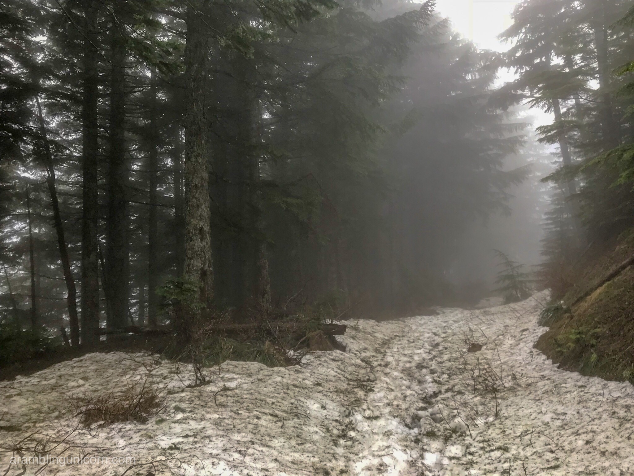
Nearing the end of the snow
At the first patch of bare ground, I stopped for a lunch break and rested. Thus fortified, I continued my descent, my pace slowed to a crawl as the snow became slushier due to the warmer temperatures. I breathed a sigh of relief when the snow subsided and my hike continued along solid ground.
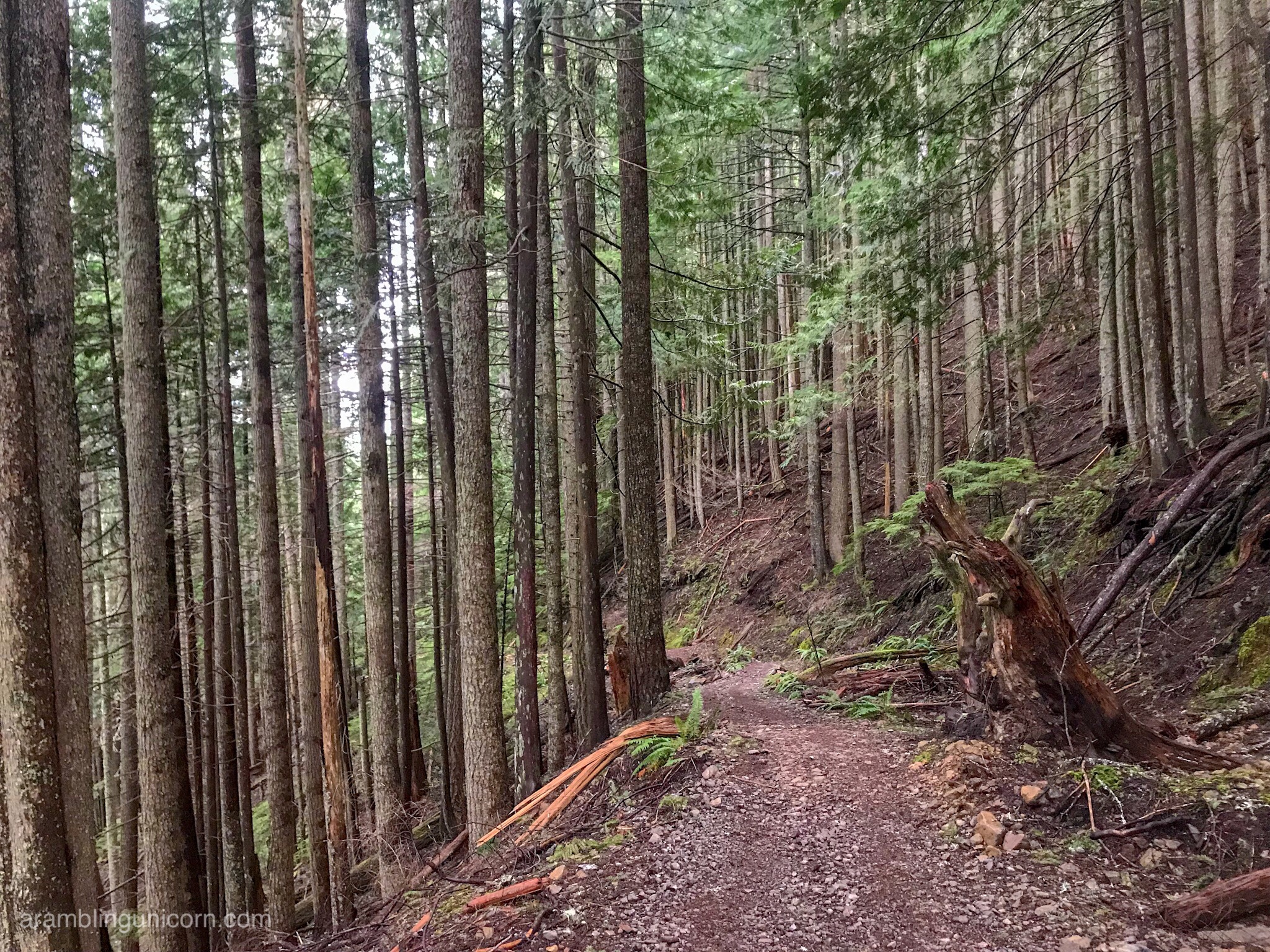
Wheel marks on the trail
As I continued down the mountain, I noticed a set of tire marks on the trail that definitely weren’t there on my way up. I wondered what that was about as vehicles were definitely not allowed on this trail. A few minutes later four ATV’s raced by me, each loaded up with passengers in hard hats and gear. Another group of hikers with hard hats and walkie talkies jogged by me shortly afterwards . Hm. Something was definitely up.
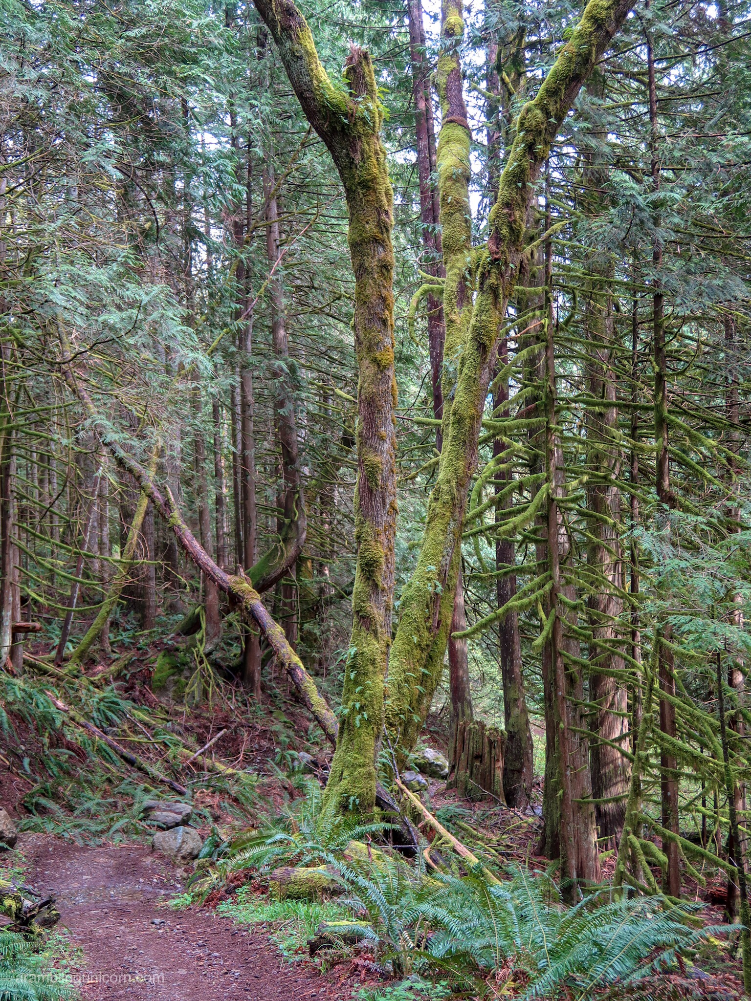
It’s a cool mossy tree!
When I reached the trailhead, the parking lot was filled with search and rescue vehicles. Official-looking people milled about, talking on cell phones and walkie talkies. One of them confirmed that they were responding to an emergency involving an injured hiker.
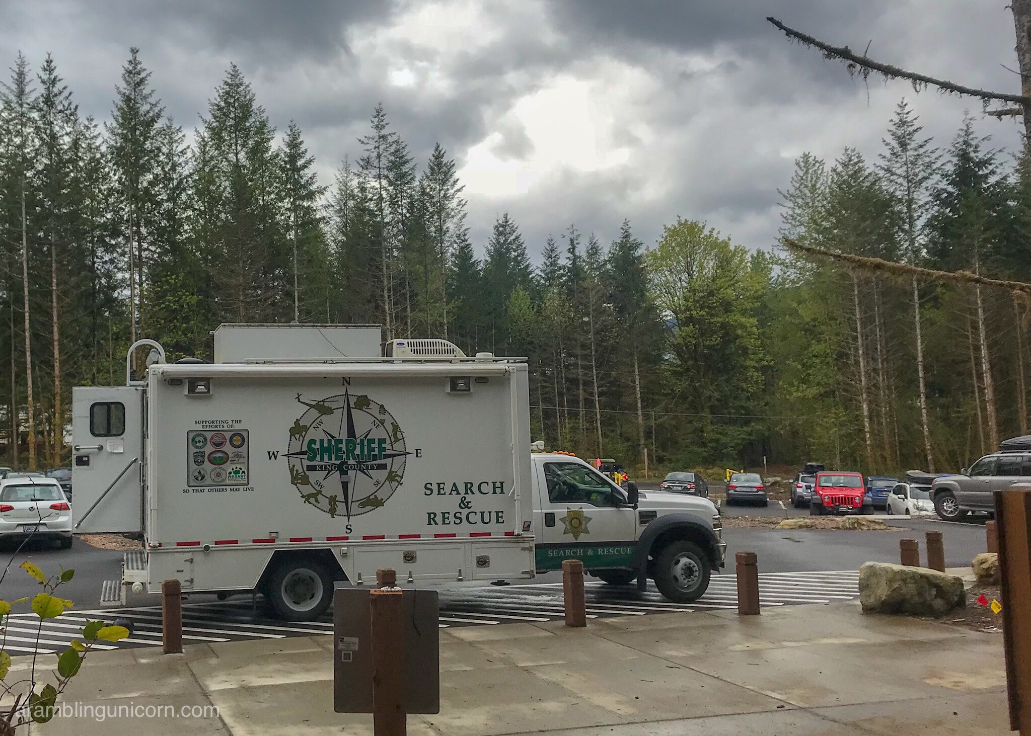
Search and rescue command center during a rescue operation
While a somewhat sobering end to the day, I was nonetheless impressed at the response by the search and rescue personnel. There were at least 50 highly trained people (maybe more) involved in this rescue effort. I’m a careful hiker and don’t take needless risks, but you never know when something might go wrong in the back country. It’s a reassuring feeling knowing that these guys have my back in case something goes wrong on a future hiking endeavor.




0 Comments