The Padilla Bay Shore Trail is an easy stroll with fabulous views of the Padilla Bay on one side and the picturesque Skagit Valley on the other. The trail follows along top of dike which was constructed where the Skagit River meets the Salish Sea. The path is flat and broad and easy for all skill levels, as well as suitable for wheelchairs and bikes.
I first visited the Padilla Bay Trail two years ago but didn’t have time to explore the entire thing. Yesterday, however, I finally walked the entire length of the 2.1-mile trail and back again for the very first time.
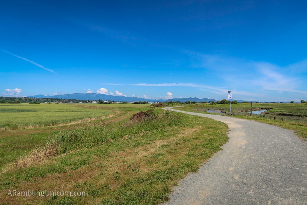
The Padilla Bay Shore Trail
A Socially Distant Birthday Celebration
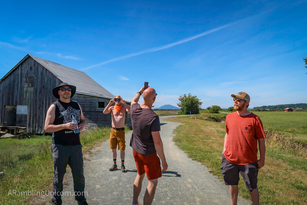
Our friend Greg turned 65 this week and we wanted to celebrate the occasion with him. Sadly, large gatherings are out due to COVID-19, so we decided to go for a walk instead. I selected the Padilla Bay Shore Trail for our hike because we wanted a wide path that made it easy to practice social distancing. The Padilla Bay Trail turned out to be a great choice as it provides plenty of room to spread out and to pass other trail users. It wasn’t terribly crowded when we visited on Thursday afternoon – we passed about 20-30 people over the course of 3 hours.
We began our adventure at the north trailhead because the north parking lot is bigger and more suitable for parking our RV. Daniel and I met Greg at the parking a lot along with our friends Devon and Casey. It’s the first time that we got to see our friends in person since we left the United States to travel around the world last fall. Boy was it good to see them!
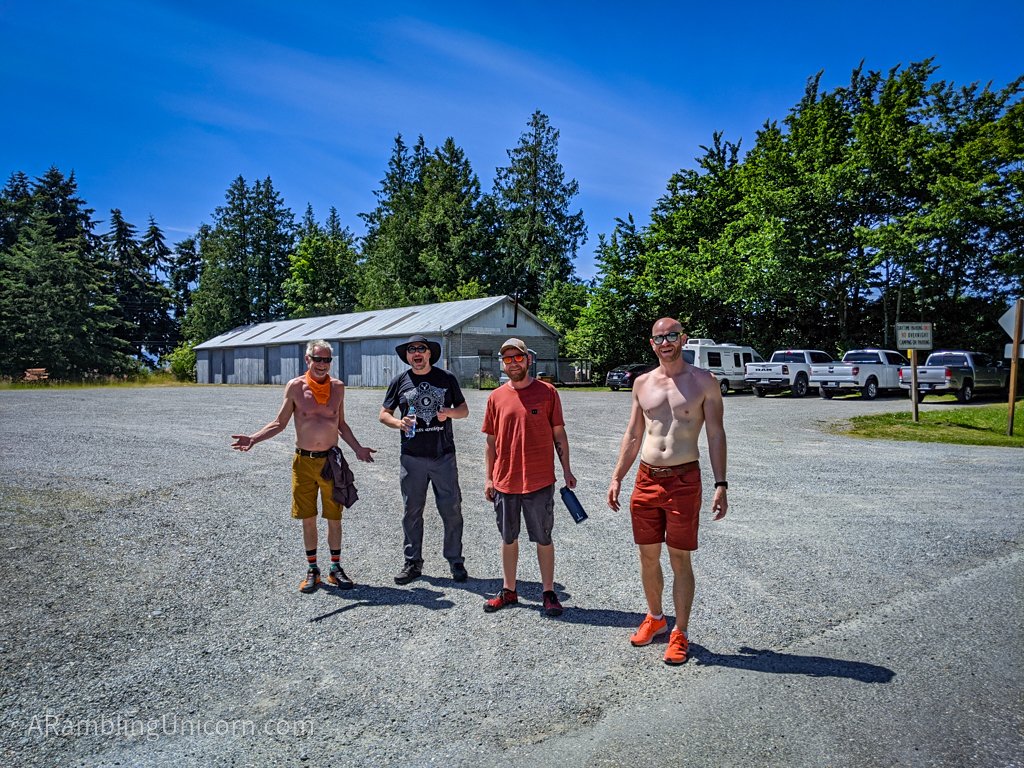
Greg, Daniel, Casey and Devon at the north parking lot
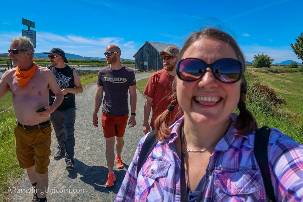
The only photo of the day with all five of us in it
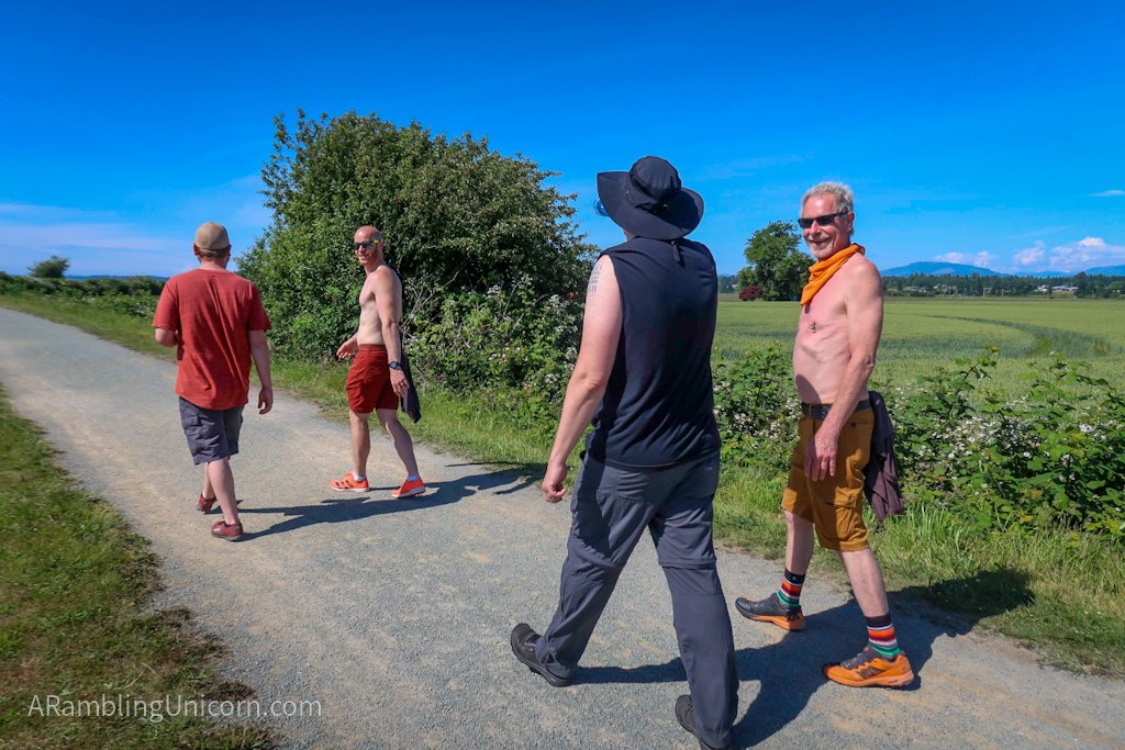
Walking along the trail with the birthday boy
Walking the Padilla Bay Shore Trail
From the parking lot we walked along the Bayview-Edison road until we reached the north trailhead for the Padilla Bay Shore Trail. The tide was out, and we could see far along the shoreline into the bay. It was a lovely sunny day and we were prepared with sunscreen, sun hats and water as there is not much in the way of shade along the trail.
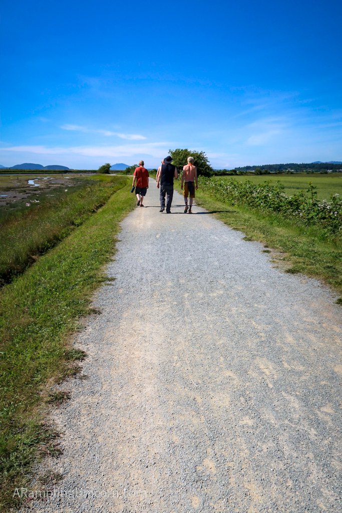
As we walked, we admired the Padilla Bay estuary to our left and the Skagit Valley farmlands to our right. The Cascade Mountains were clearly visible in the distance as well. We saw ducks and rabbits and some interesting birds – apparently the trail is a favorite for birders given the rich wildlife here.
Our favorite landmark along the trail, however, was a picturesque old barn. According to the Washington Trails Association web site, the barn is “a remnant of one of the so called ‘stump farms’, land purchased cheaply after the area was logged in the early 1900s then converted to farming.†We took a lot of pictures here and thoroughly enjoyed the scenery.
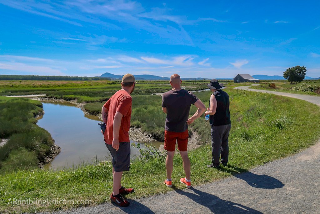
Hey look at that cool barn!

Devon photobombs my photo of the cool barn
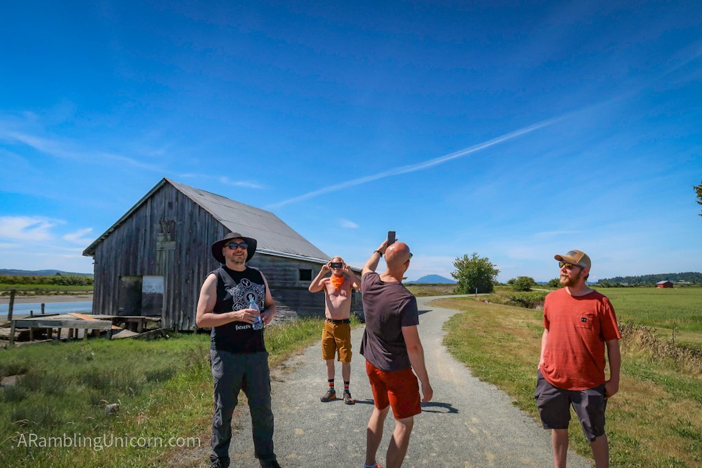
We can’t resist the allure of photographing the cool barn
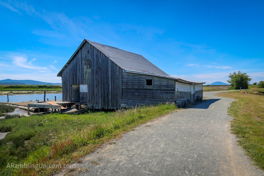
The barn up close
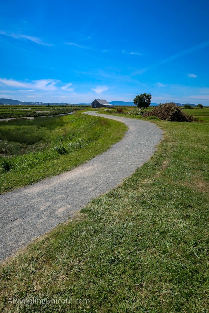
The barn in all its glory
After reaching the south parking lot, we turned around and headed back. The tide had come in quite a bit as we walked, and it was fun to see the difference in the shoreline. It was still hot out when we reached the north parking lot around 5:00 pm and we congratulated ourselves on a job well done. This is by far the longest walk I’ve attempted since coming down with COVID-19 in March and it felt good to finally be making progress in my recovery.
Planning a Visit to the Padilla Bay Shore Trail
The Padilla Bay Shore Trail is located about 10 miles west of Burlington. Note that there are two trailheads – the south one being the more widely known of the two and the one which shows up on Google Maps. The south parking lot is fairly small, so if it is filled up or if you have a big rig then I recommend traveling to the north lot. The north parking lot is located in the tiny town of Bay View on Second Street and is clearly marked.
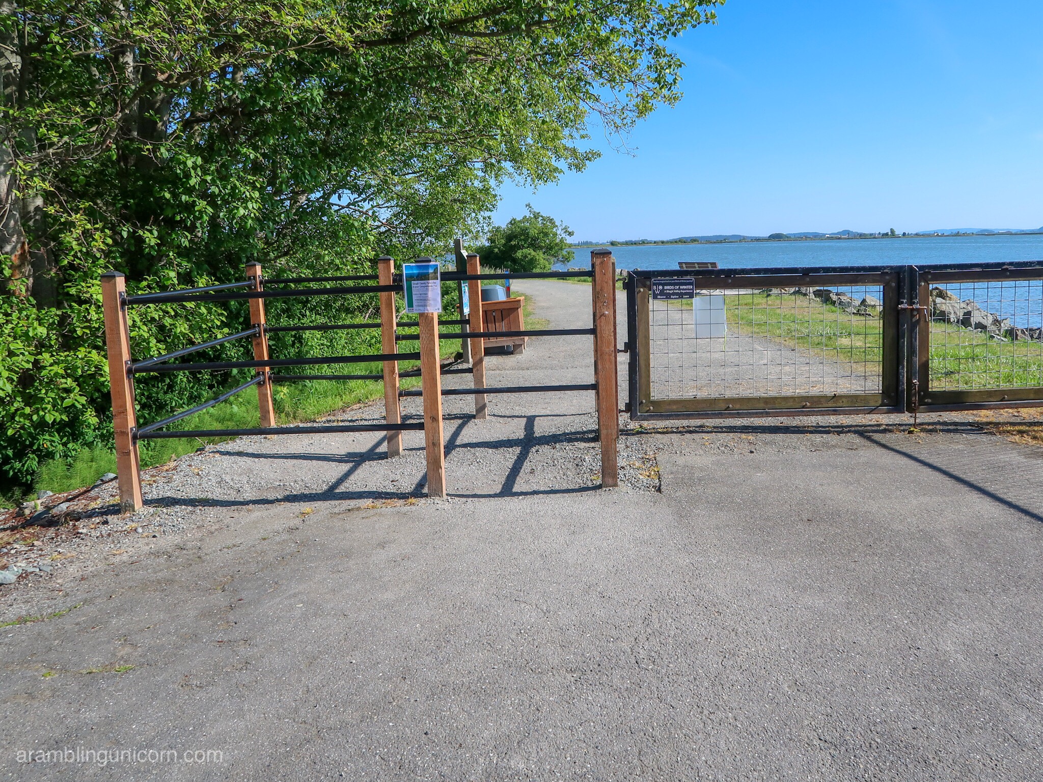
The north entrance to the Padilla Bay Trail
Outhouses are located at both the north and south trailheads. There are no parking passes or fees required for this trail. There is a gate preventing motorized vehicles from entering the north trailhead, however a separate entrance is provided for pedestrians and bikes. Most wheelchairs should be able to fit through the pedestrian entrance.
Bay View State Park and Padilla Bay Interpretive Center are both located within a few miles of the Trail and provide more opportunities for exploring the area. The charming town of La Conner is also located nearby, and is a great place to grab a bite to eat (some restaurants are open for dine-in eating).
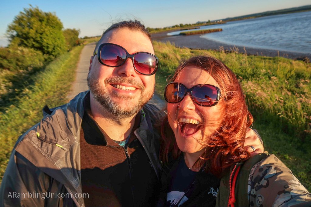
Daniel and I visited the Padilla Bay Shore Trail earlier in the week to scope it out before meeting our friends there. We arrived just before sunset.
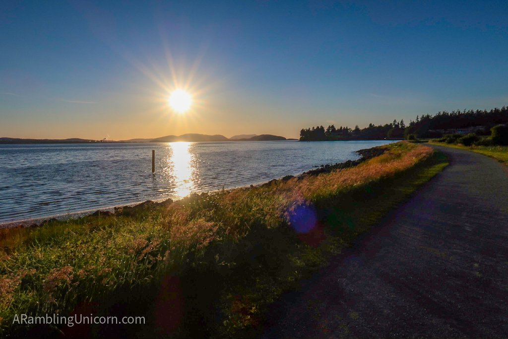
Just before sunset at the Padilla Bay Shore Trail
More Information
Elevation Gain: 30 feet
Distance: 4.25 miles round trip
- Padilla Bay Trail – Washington Trails Association
- Padilla Bay Trail – AllTrails.com
- Padilla Bay Shore Trail – Skagit County Parks and Recreation
- Bay View State Park – Washington State Parks
- The Breazeale Interpretive Center at Padilla Bay – Washington State Department of Ecology



You guys look so happy! I was in the area just the other day visiting Garden Path Fermentation. I was wondering if there were trails around there. This looks great.
– Chris (of the Brewscruise)
Hi Chris! Nice to hear from you 😊. It’s a great trail, hope you get a chance to check it out sometime.