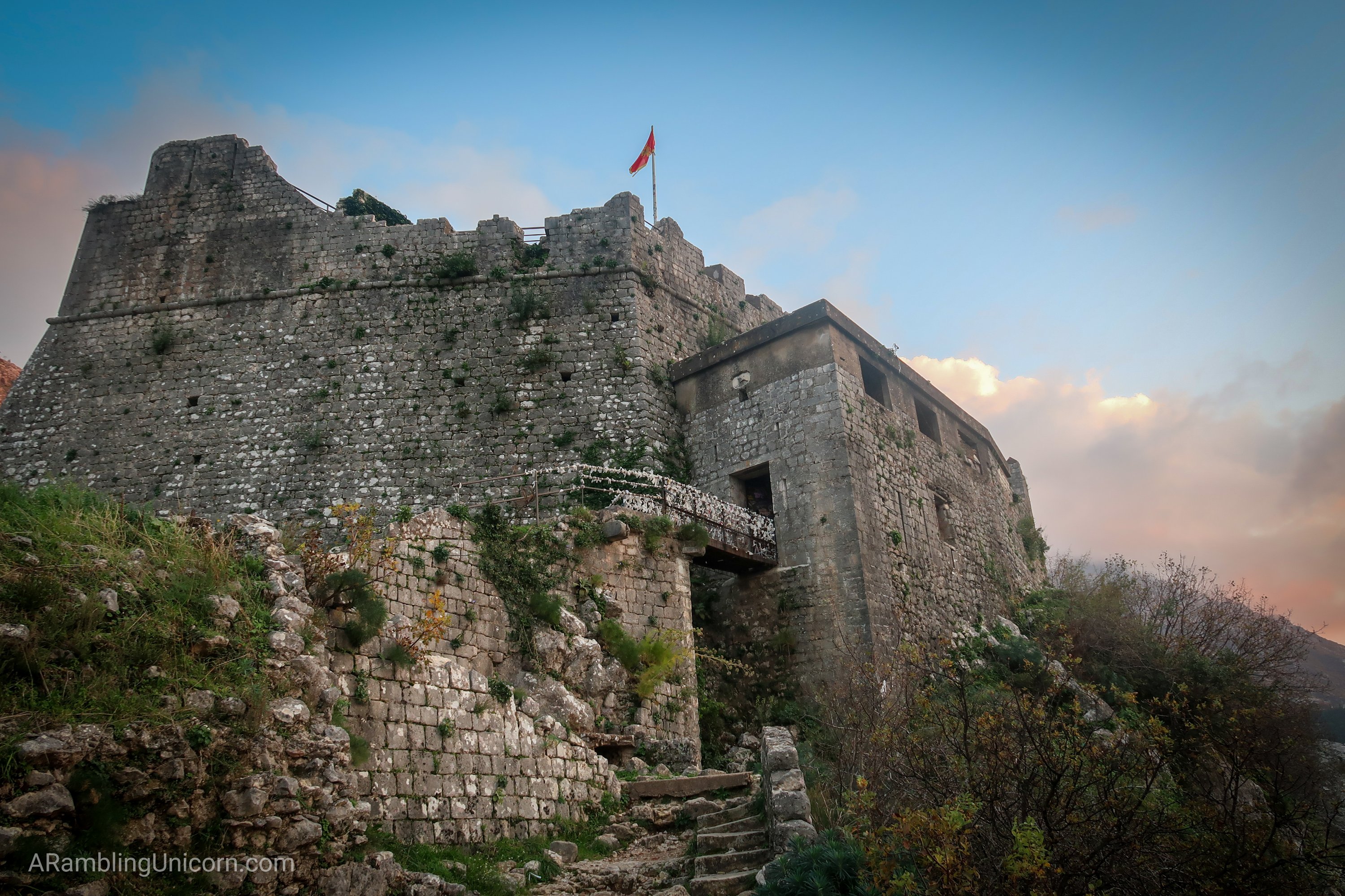
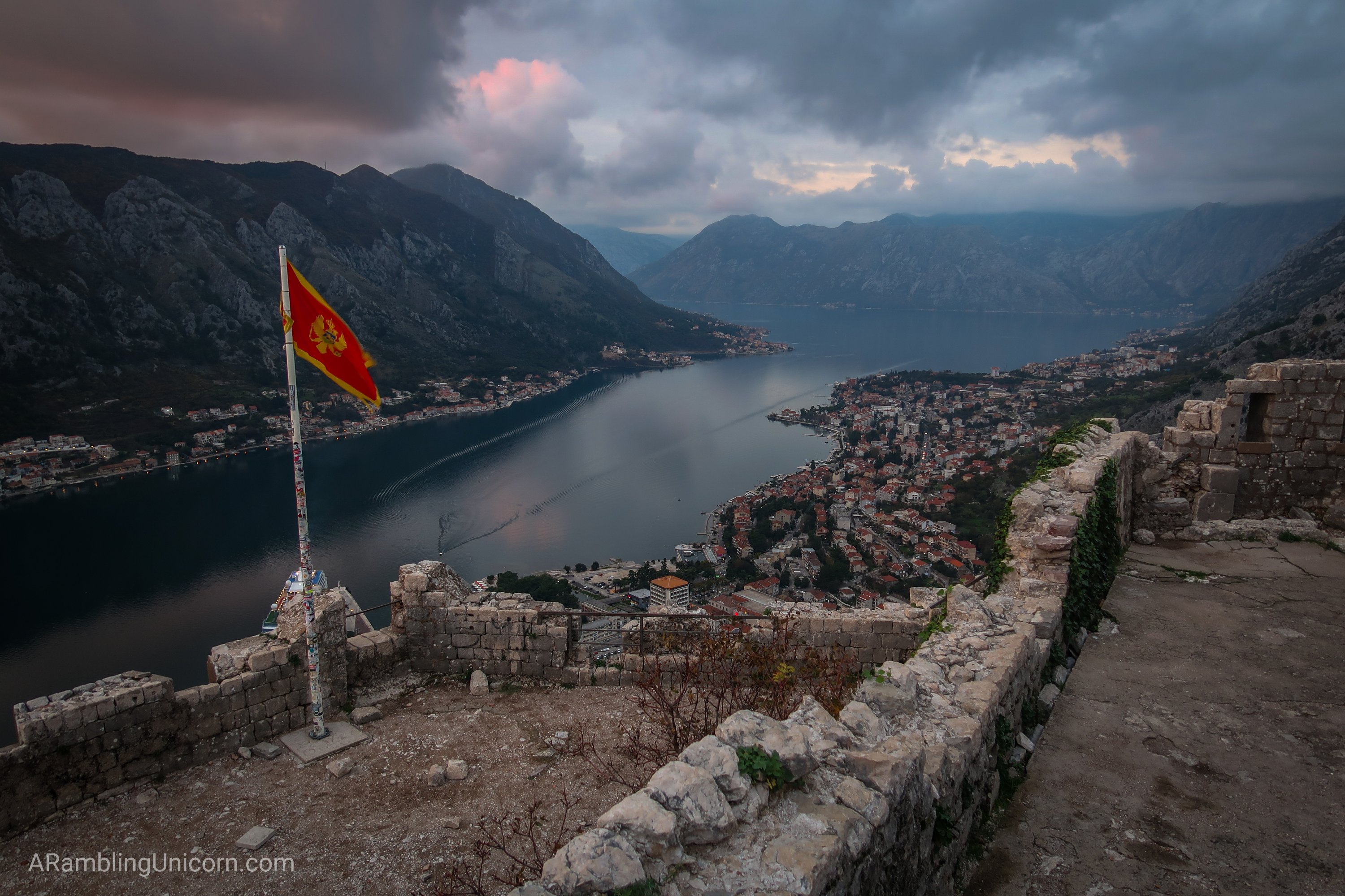
Located in the stunningly beautiful Bay of Kotor, the fortified city of Kotor is framed with a backdrop of mountains that rise dramatically from the Adriatic Sea. Most visitors to Kotor climb the 1355 steps to St. John’s Fortress (also called San Giovanni Fortress) perched above the town, but I was after the bigger challenge. I decided to hike the Ladder of Kotor instead, a trail which climbs the same hill in parallel and continues past the fortifications up to Krstac Pass.
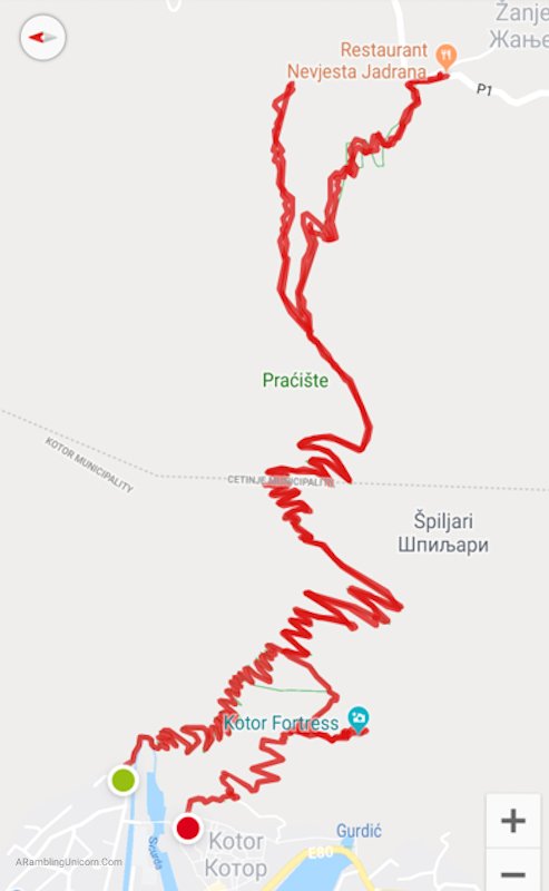
Also called the “Ladder of Cattaroâ€, the trail used to be the only available route to connect Kotor with Njegusi village and Cetinje further inland. A road now meanders up the mountains via a much longer serpentine route to connect the villages. I planned to hike up to Restaurant Nevjesta Jadrana, located on this same road, and then turn around. For those who want to hike only half of the distance, a one-way hike to or from this point is another option (assuming transportation can be arranged).
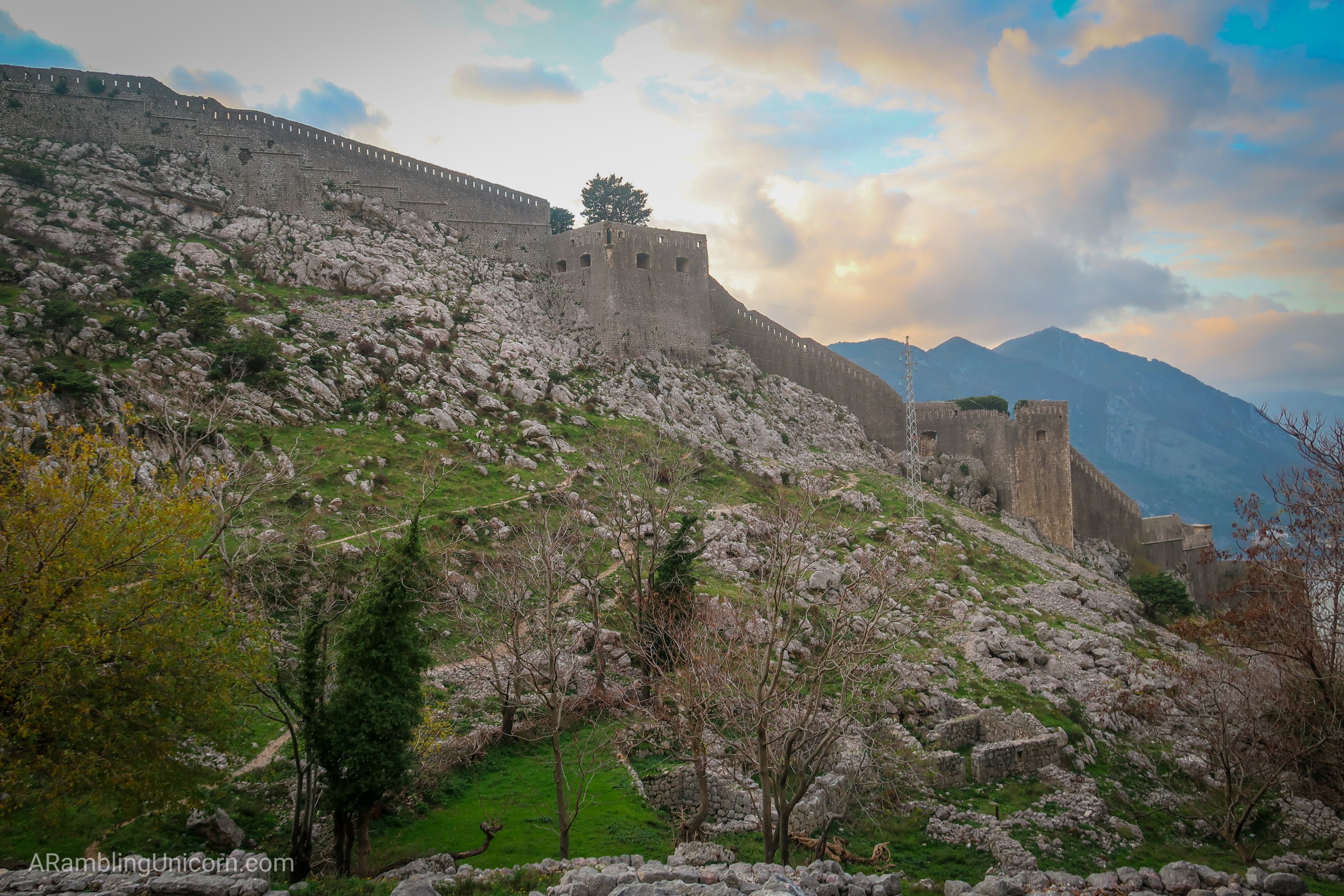
Another variation on the hike is to ascend or descend a portion of the trail via the steps to the Kotor fortifications. About halfway to the top of the ridge along the Ladder of Kotor, a path cuts over to the fortress – enabling visitors to hike both the Ladder of Kotor and the fortifications in a loop. The only issue is that this access point is *technically* forbidden as it avoids the 8 Euro entrance fee. According to my research, a guard is sometimes posted to prevent access. I really wanted to take this variation but I was a little worried about getting into the fortress through this secret back door. I’m lousy at breaking rules. I guess I would have to see when I got up there.
Ladder of Kotor
Elevation Gain: 3300 feet / 1000 meters
Distance: 8 miles round-trip / 13 km
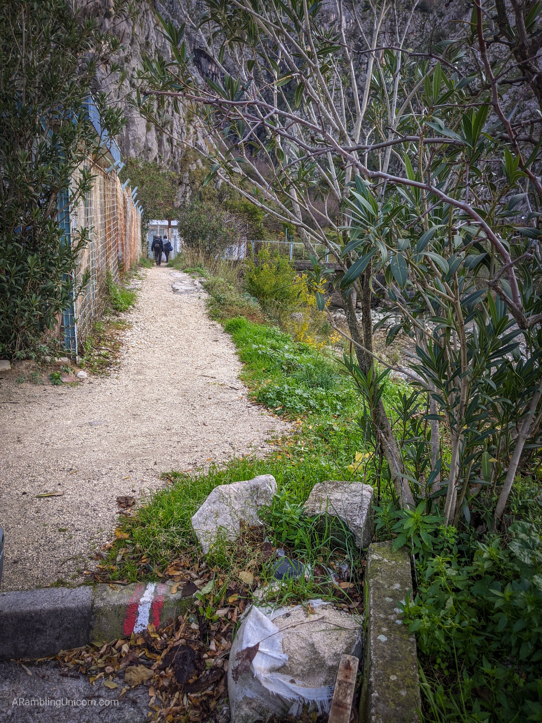
The trail starts just outside of Old Town opposite the north channel of the Scurda river. Since Daniel and I were staying in Old Town, I exited via the North Gate and then crossed the two bridges spanning both channels of the river. After the second bridge, I turned right at Bastion 3 restaurant (this restaurant is great by the way – we ate there twice). The trail begins by a power station and crosses back over the river before climbing uphill.
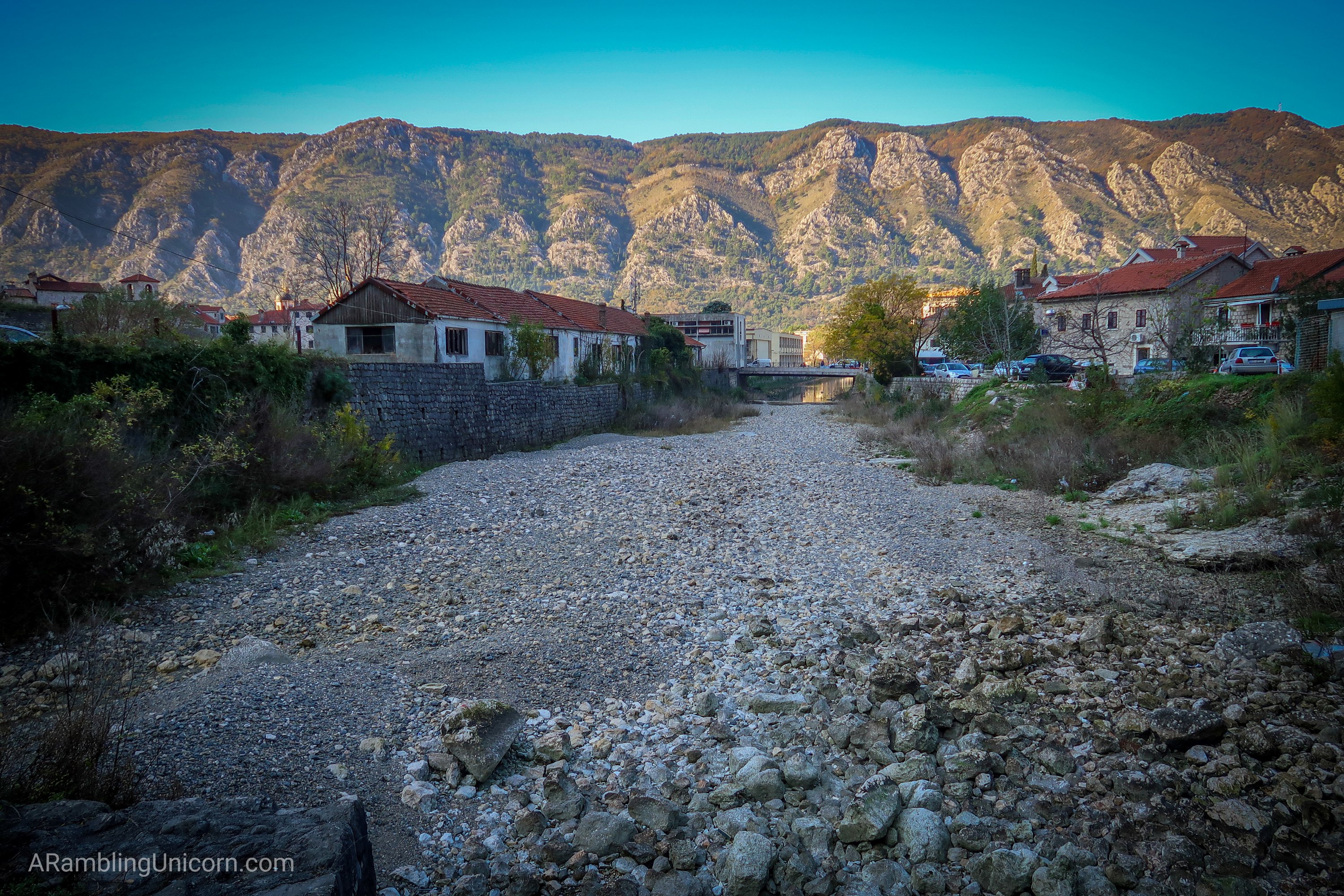
The north channel of the Scurda River was dry for this hike, but was full of water after the rains the following day.
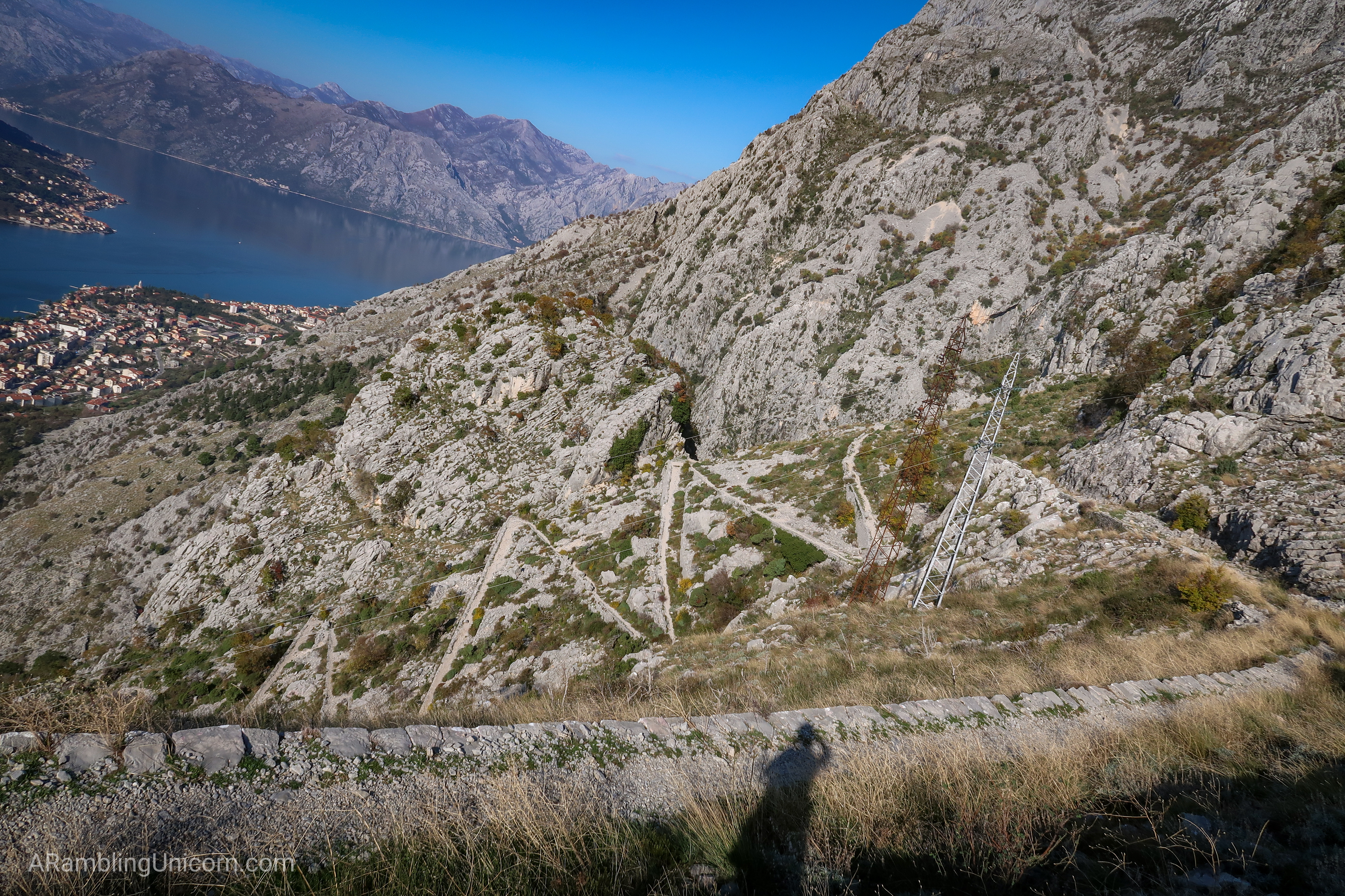
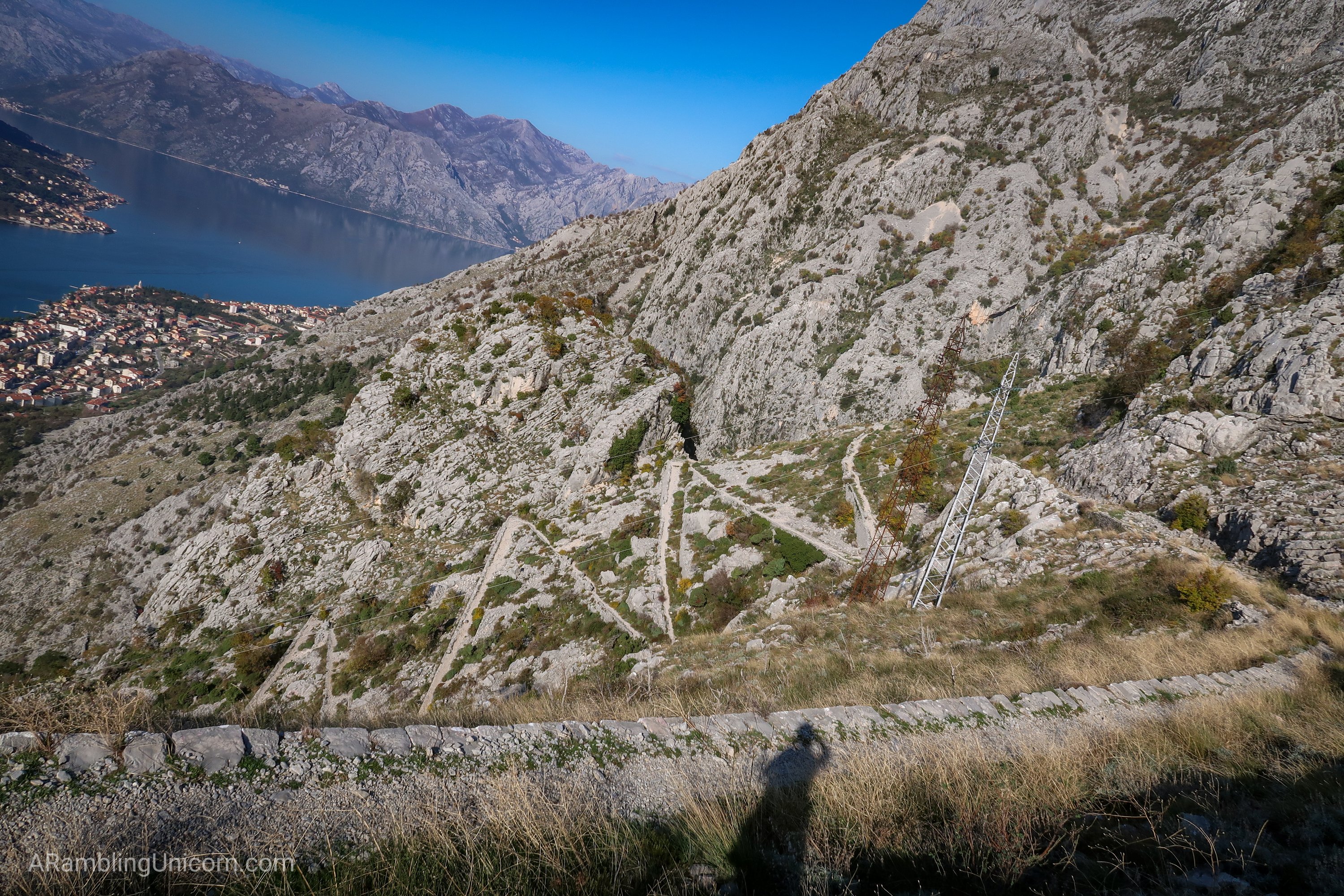
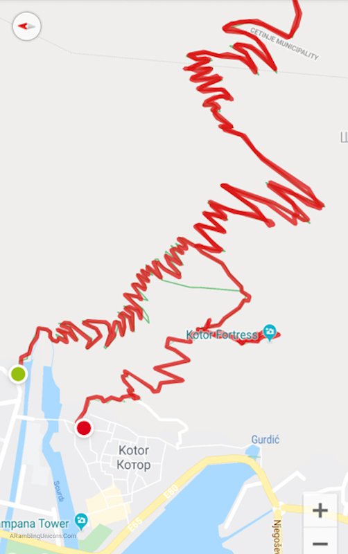
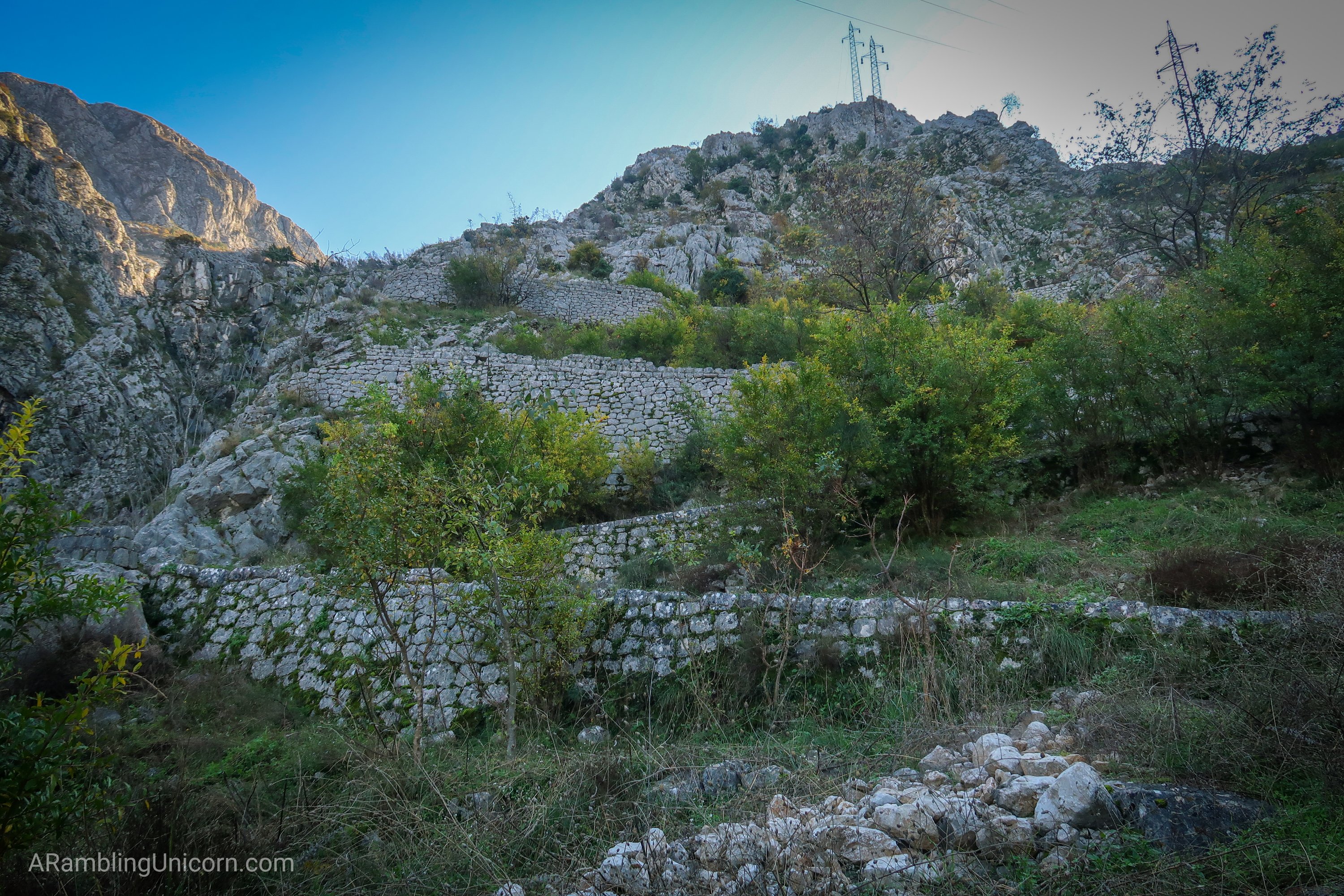
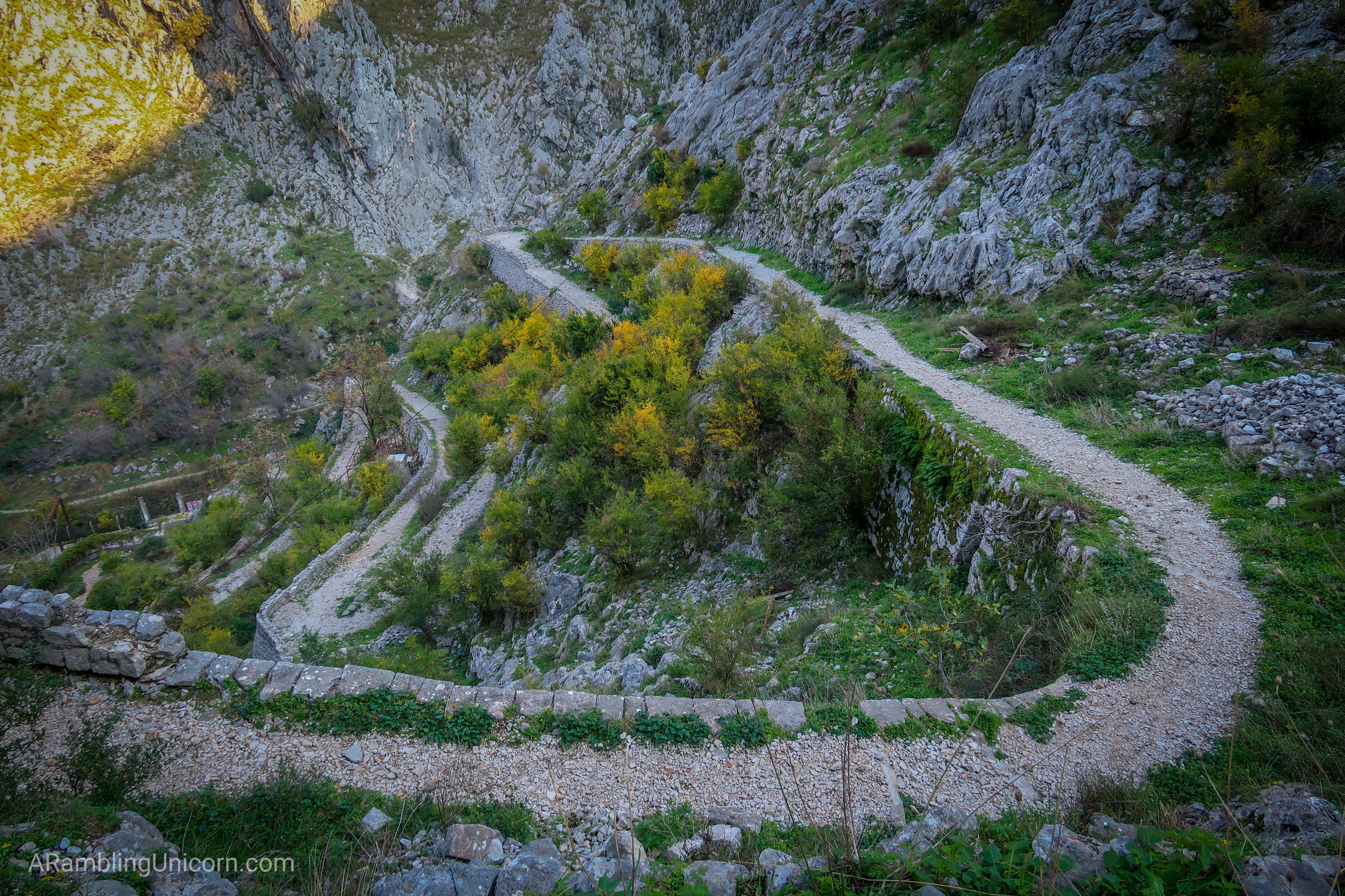
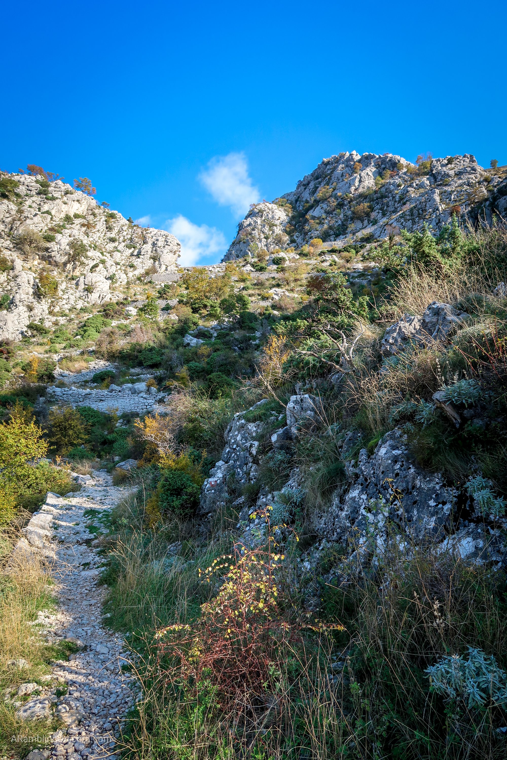
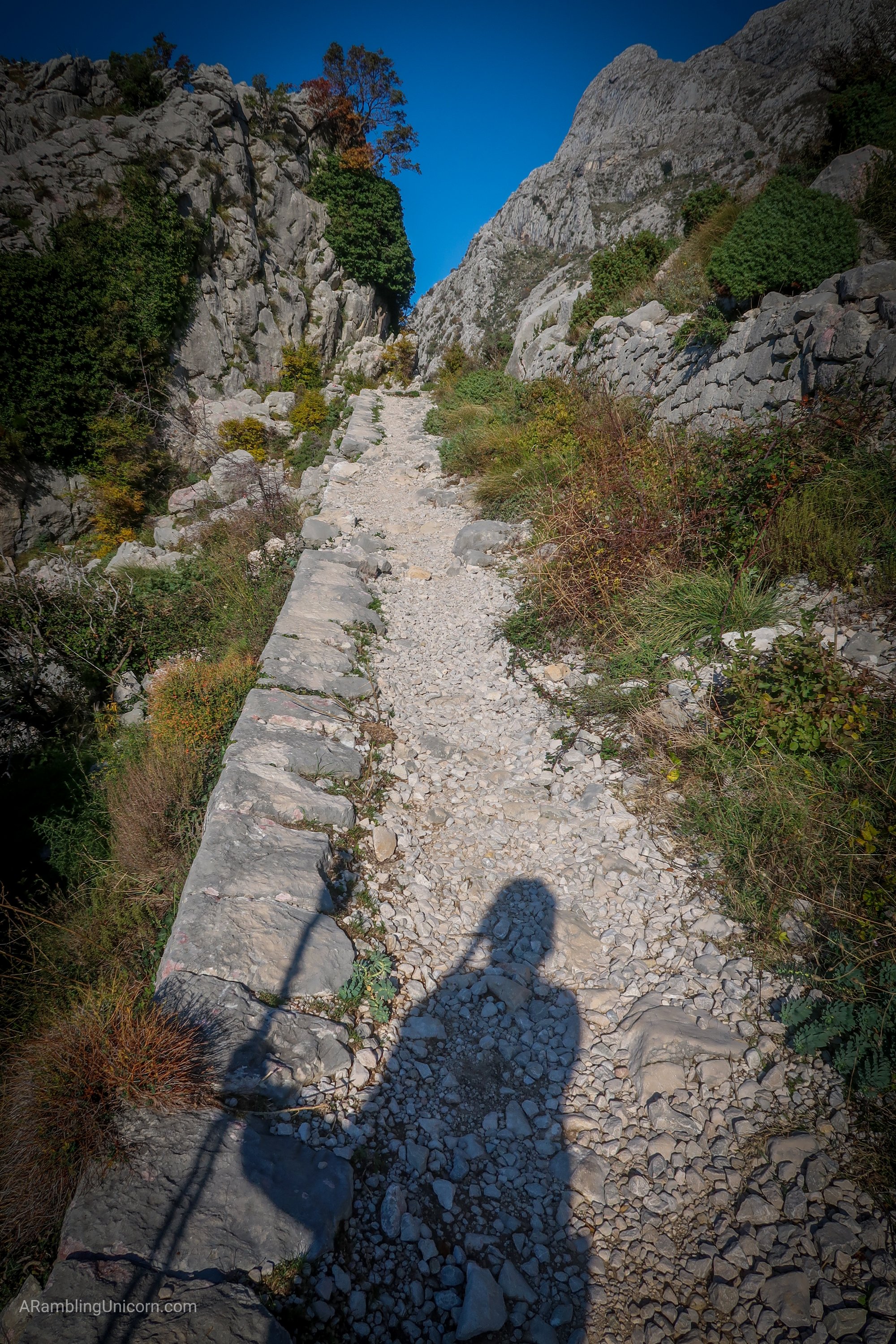
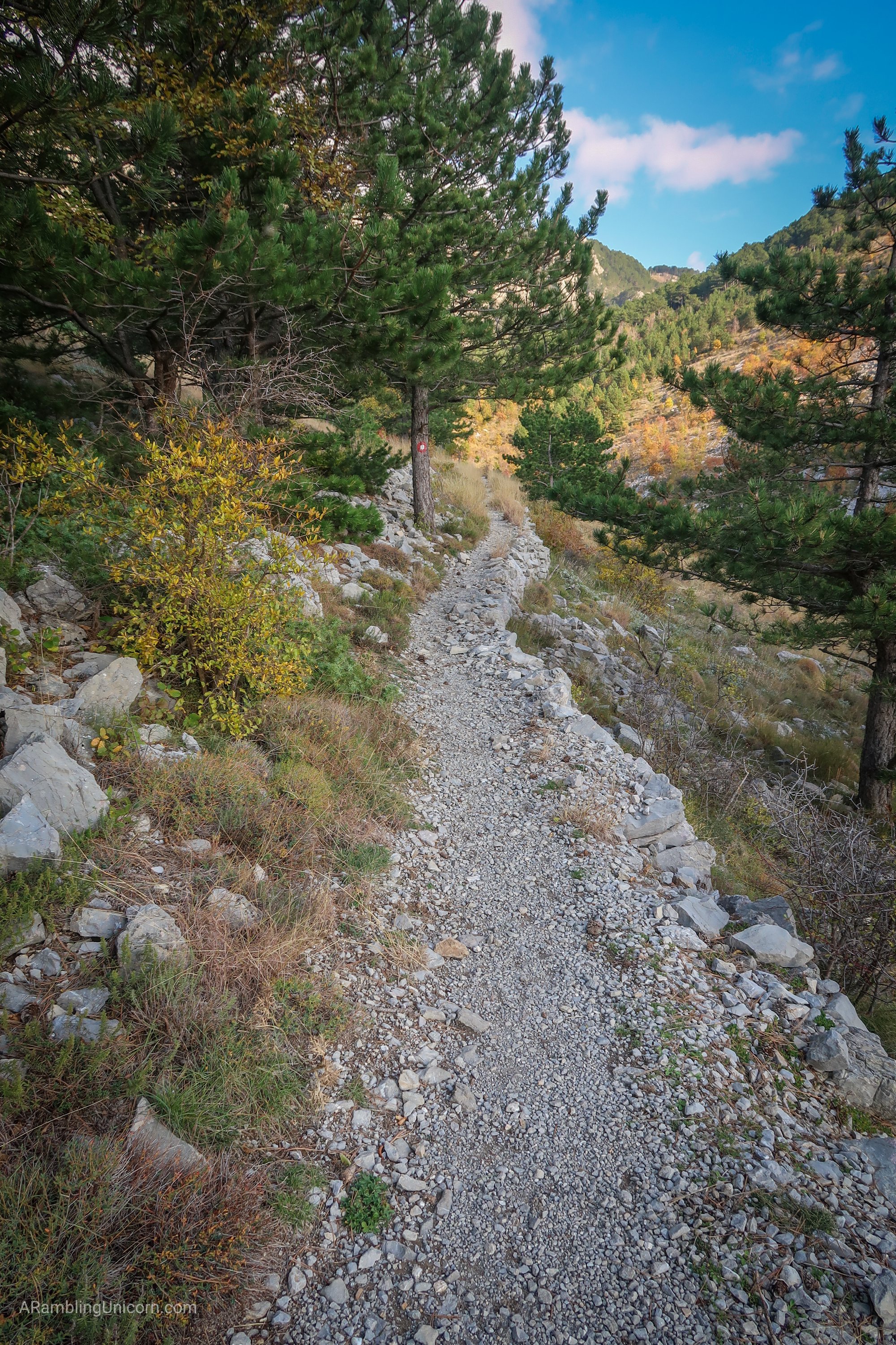
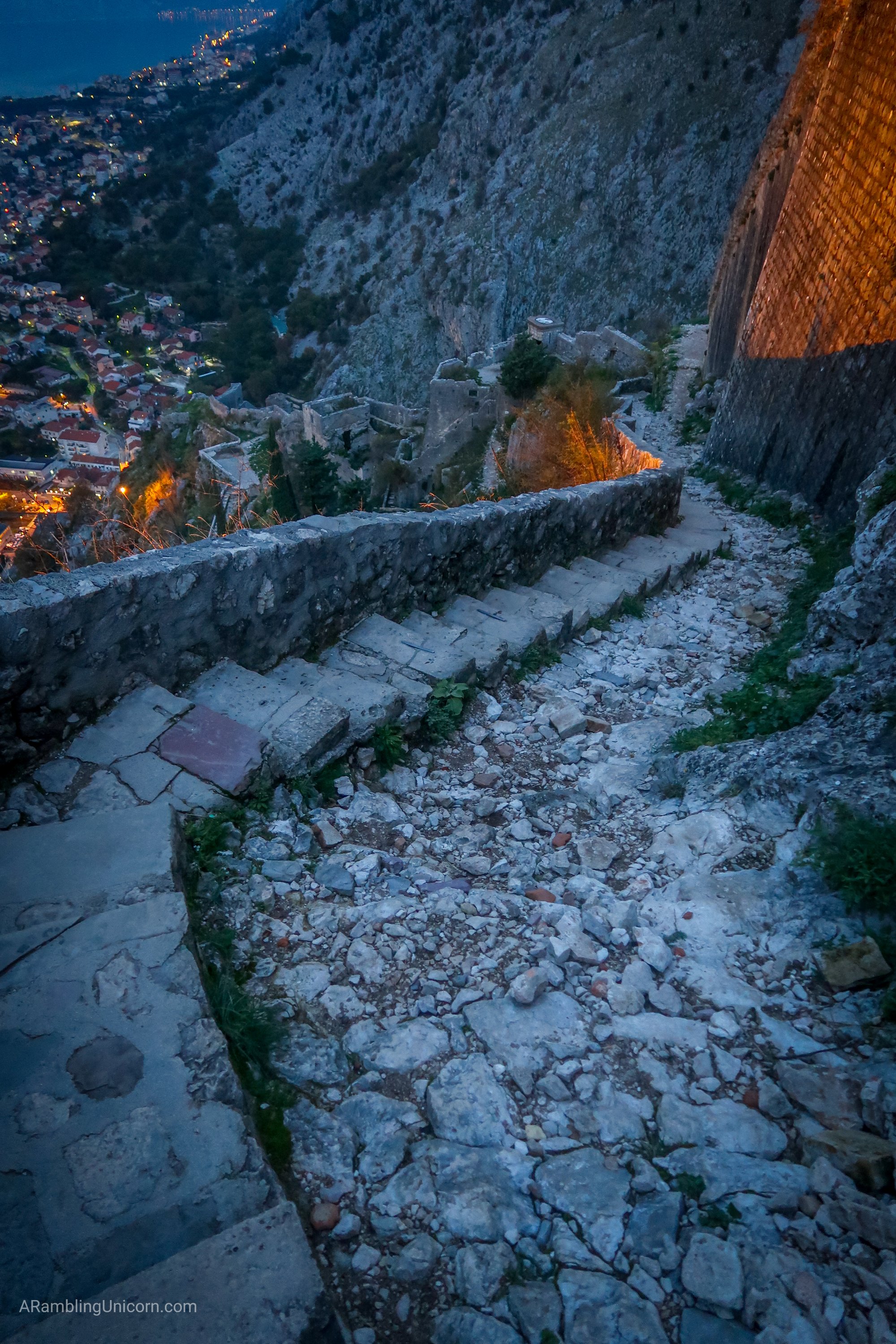
The infamous switchbacks begin almost immediately after crossing the bridge. Apparently there are over 70 switchbacks on the Ladder of Kotor trail. I was just about hopping up and down with excitement as I gazed uphill at the magnificent switchbacks beckoning me from above. Most people don’t really like switchbacks all that much but not me. I LOVE switchbacks.
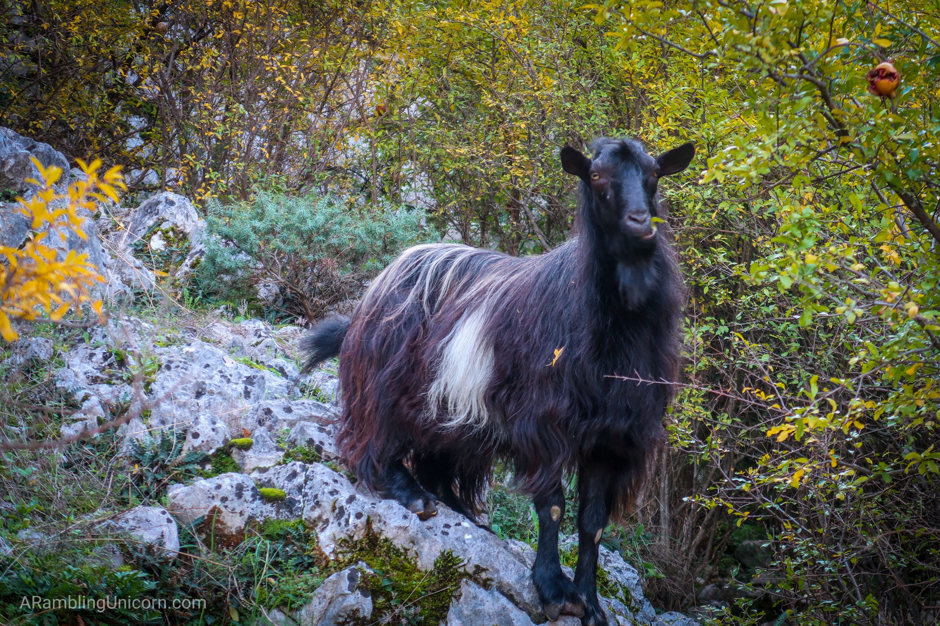
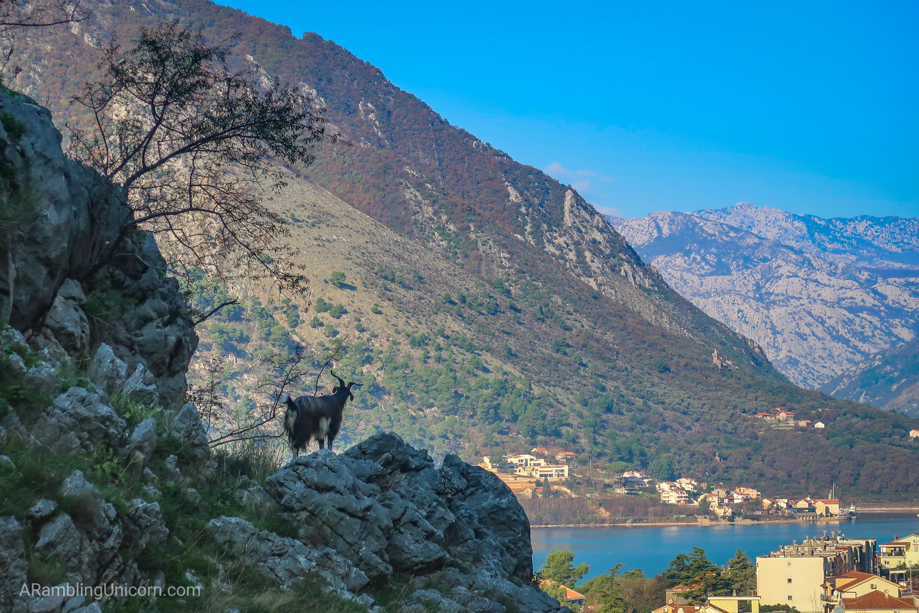
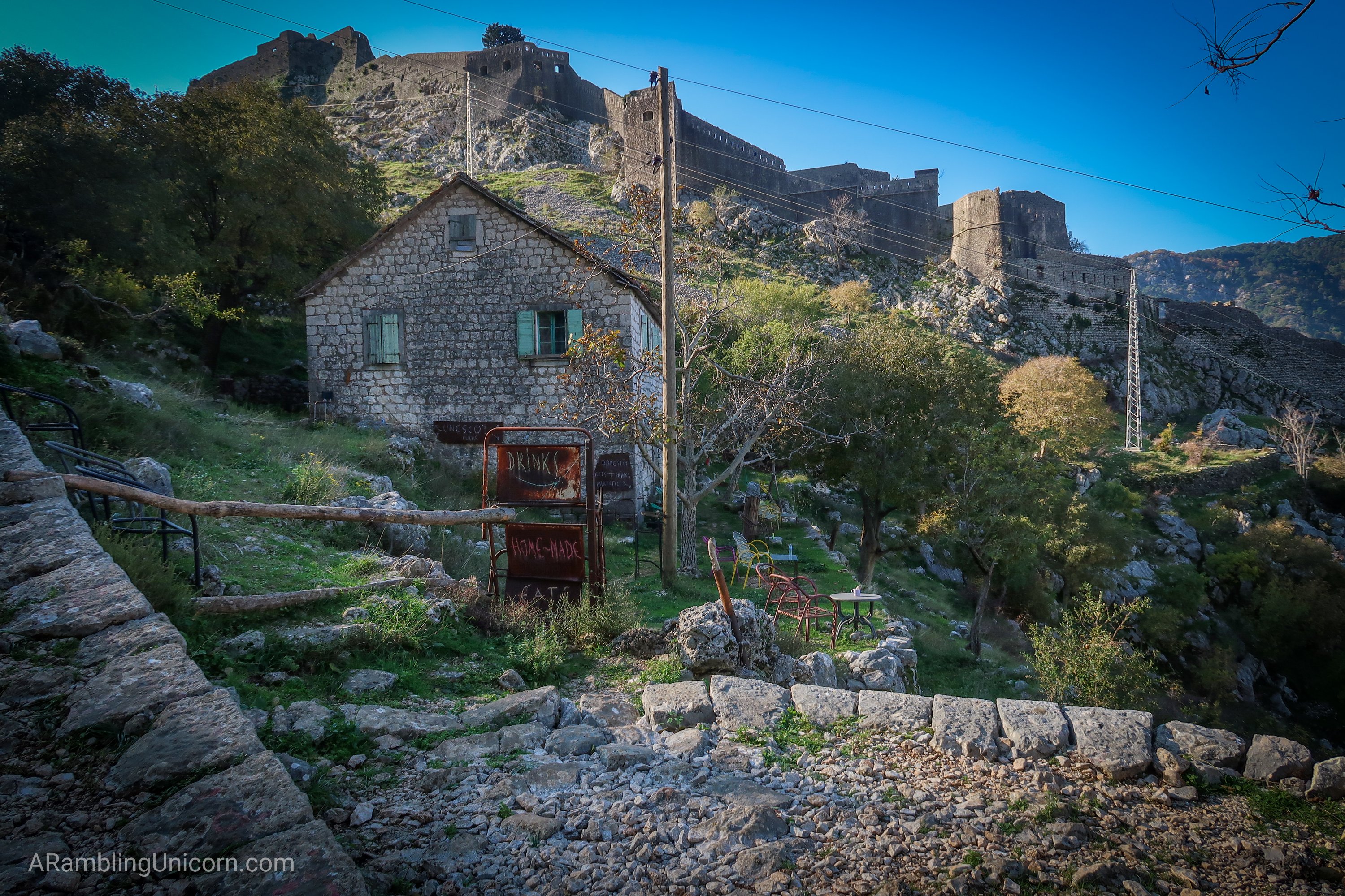
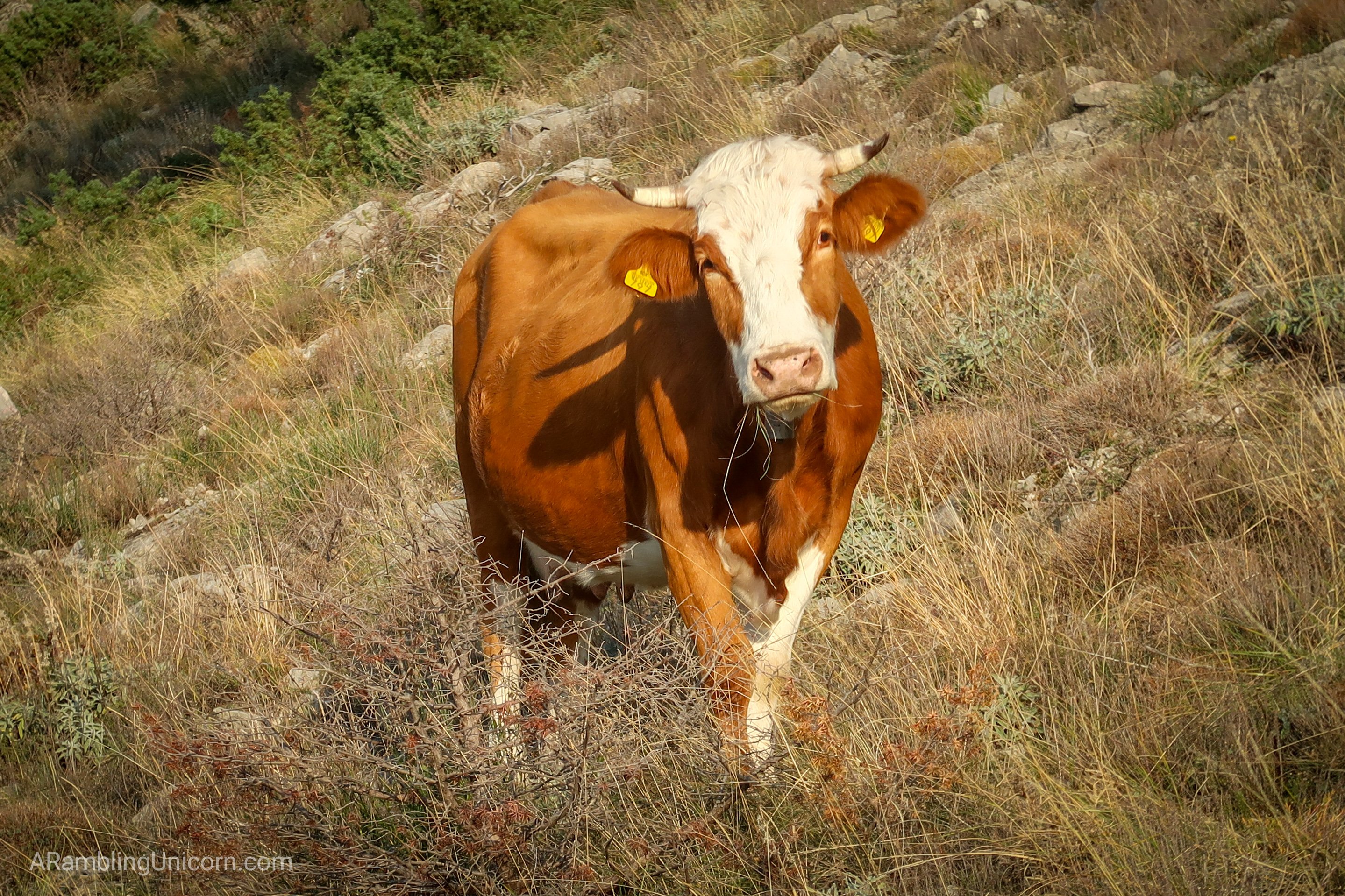
After passing some goats (hello, goats!), I continued up the hill until I passed a couple of stone cottages. Both advertised food and refreshments although neither seemed to be open at the moment. It was clear that people lived in these cottages as laundry flapped lazily in the breeze.
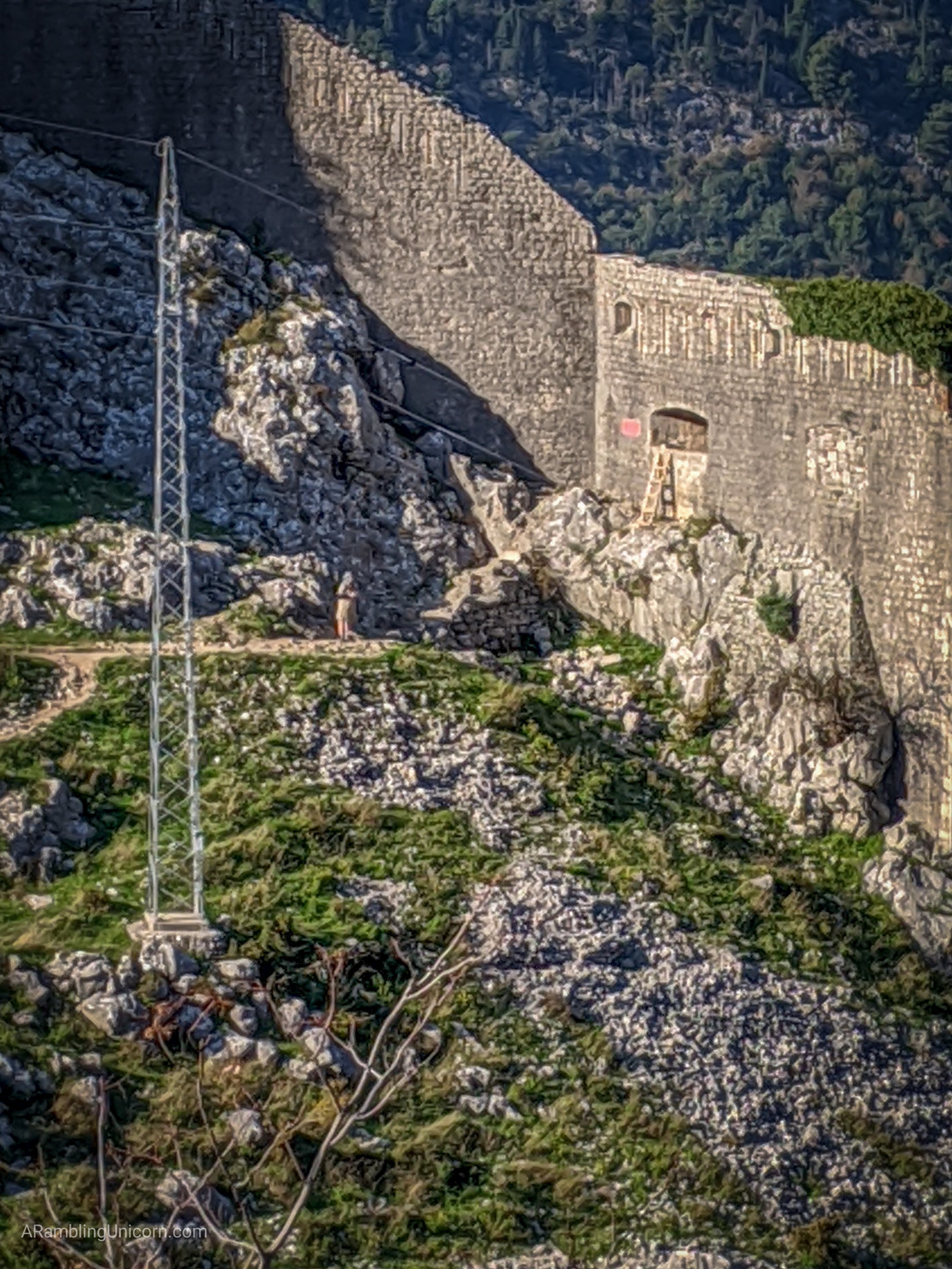
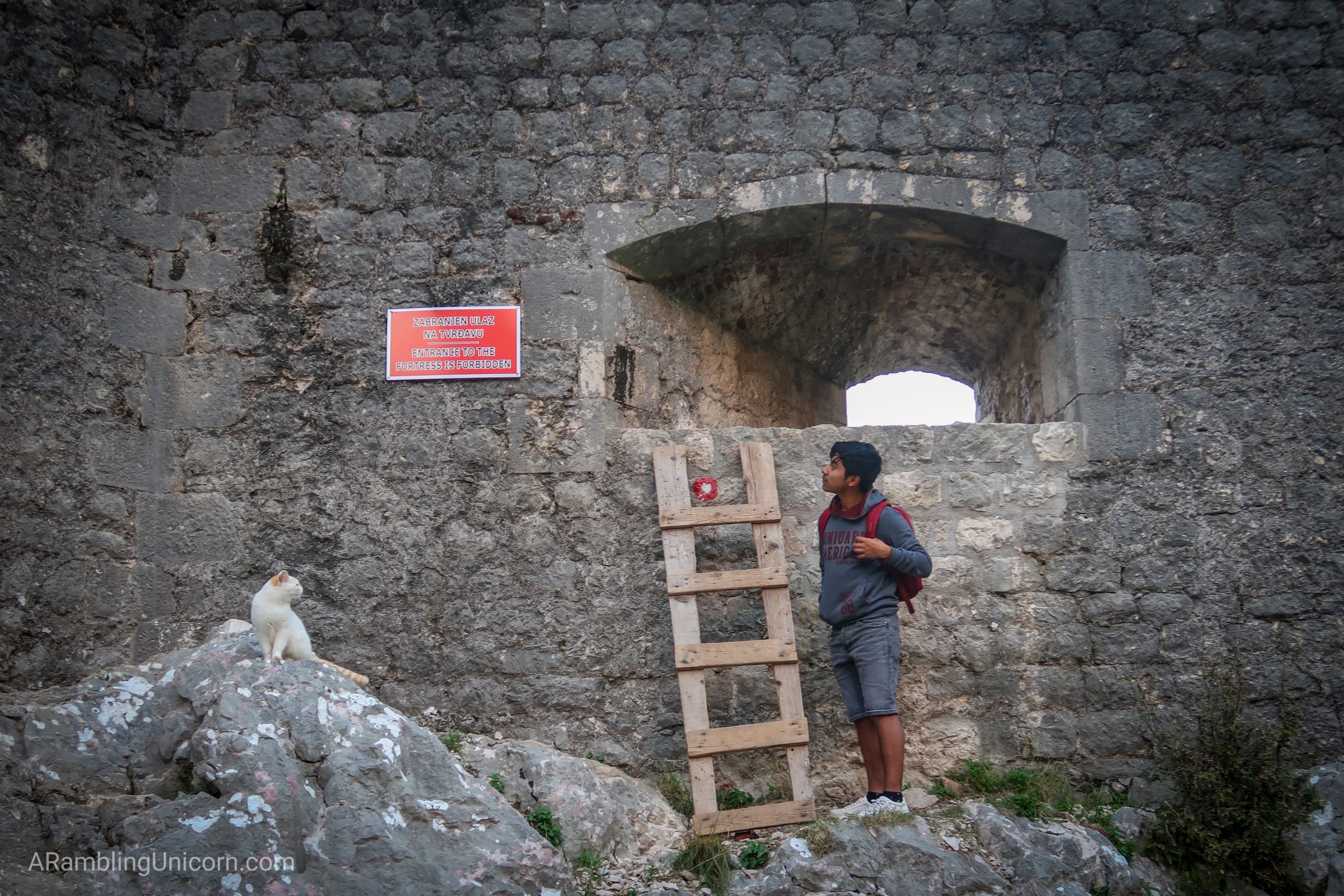
At this point, a path veered off to the fortress and I could see a ladder propped up against the back to allow entry via a small window. I wondered if I’d be able to get in on my way back down.
I ignored the side trail and continued up the switchbacks towards a ridge which I assumed to be the top. I was sadly disappointed – the trail angled south for a bit and then zig-zagged uphill towards a different ridge face.
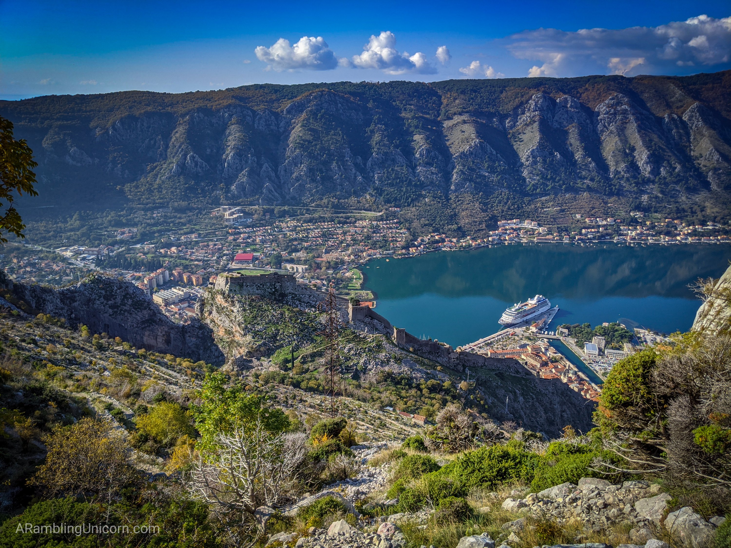
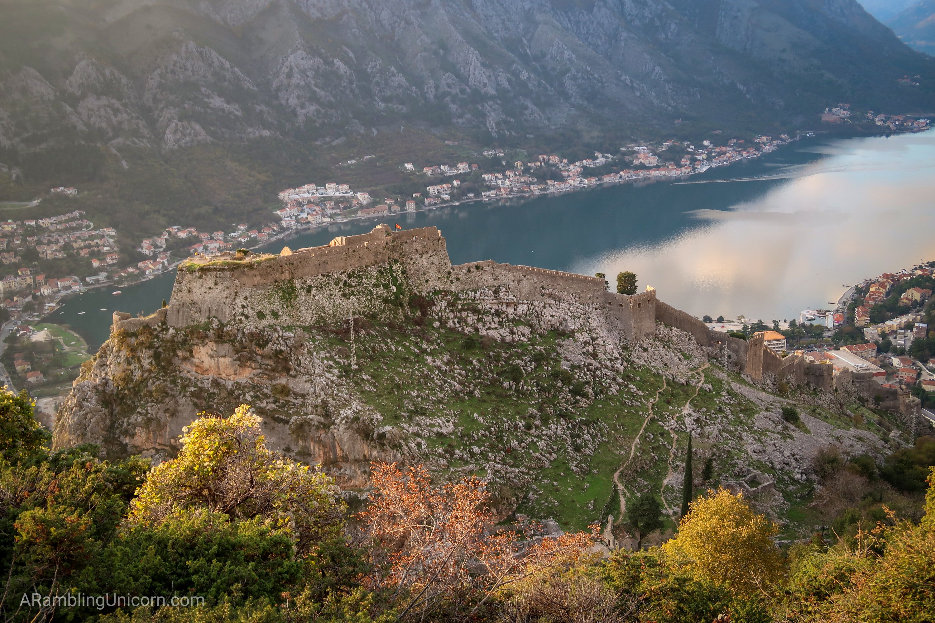
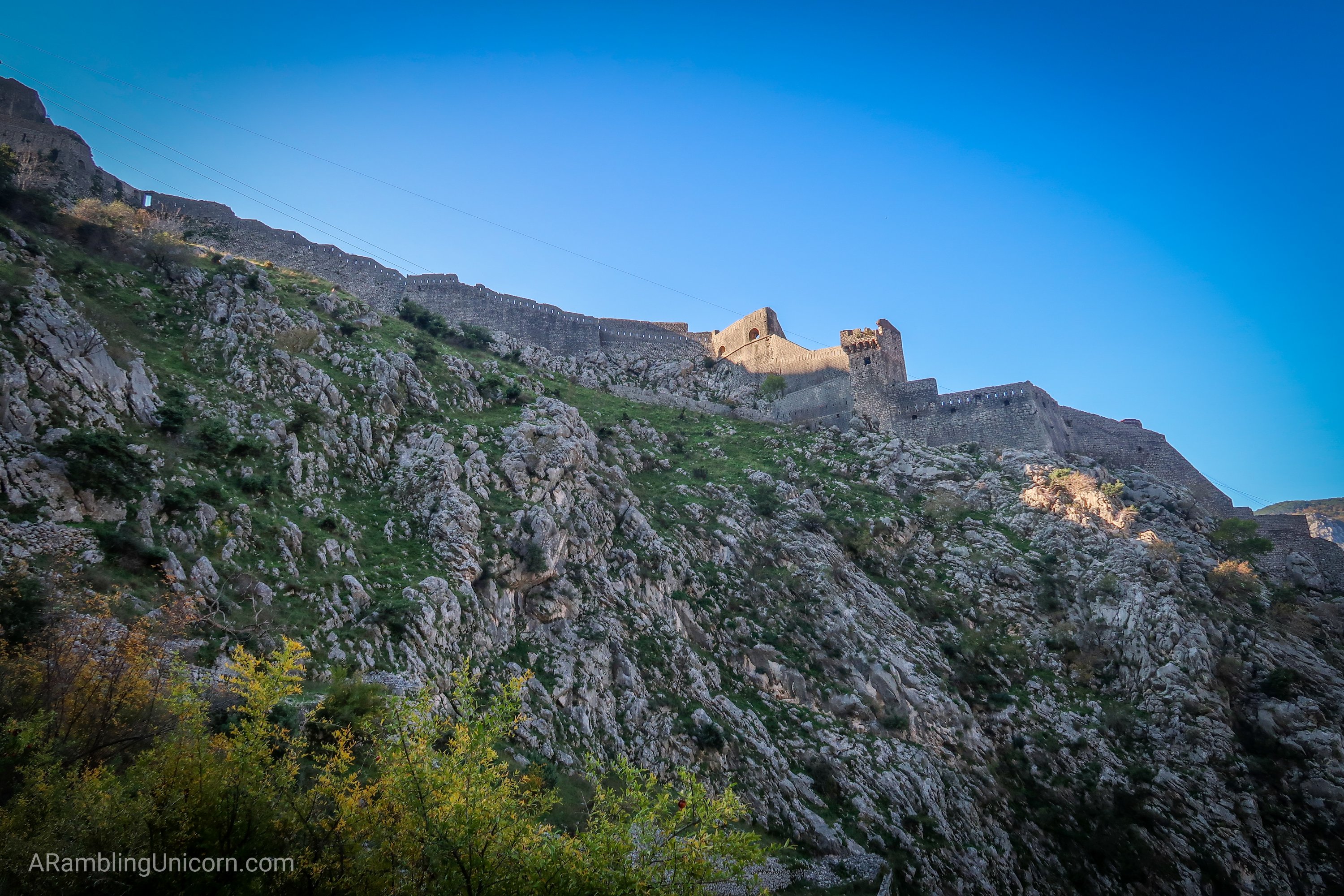
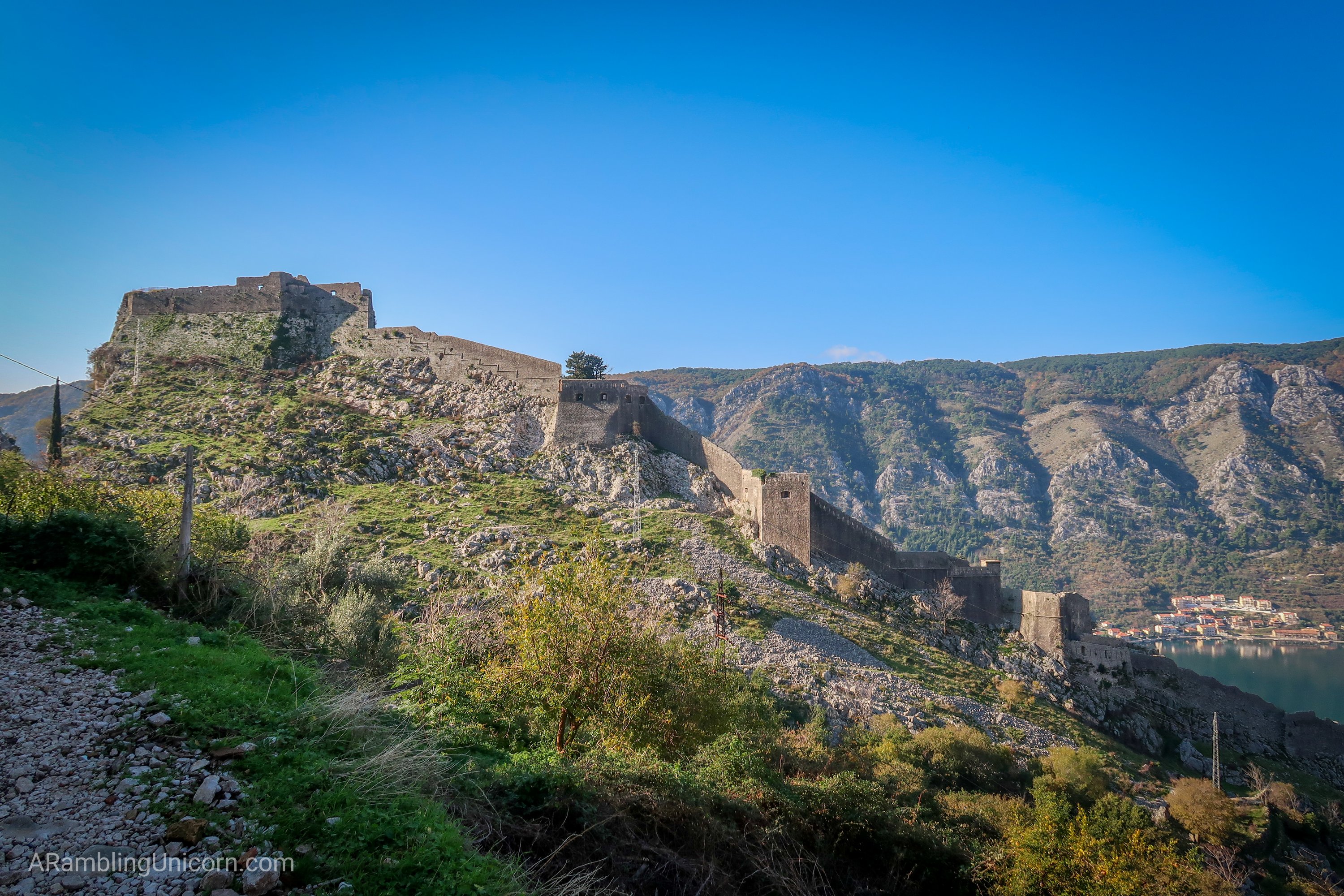
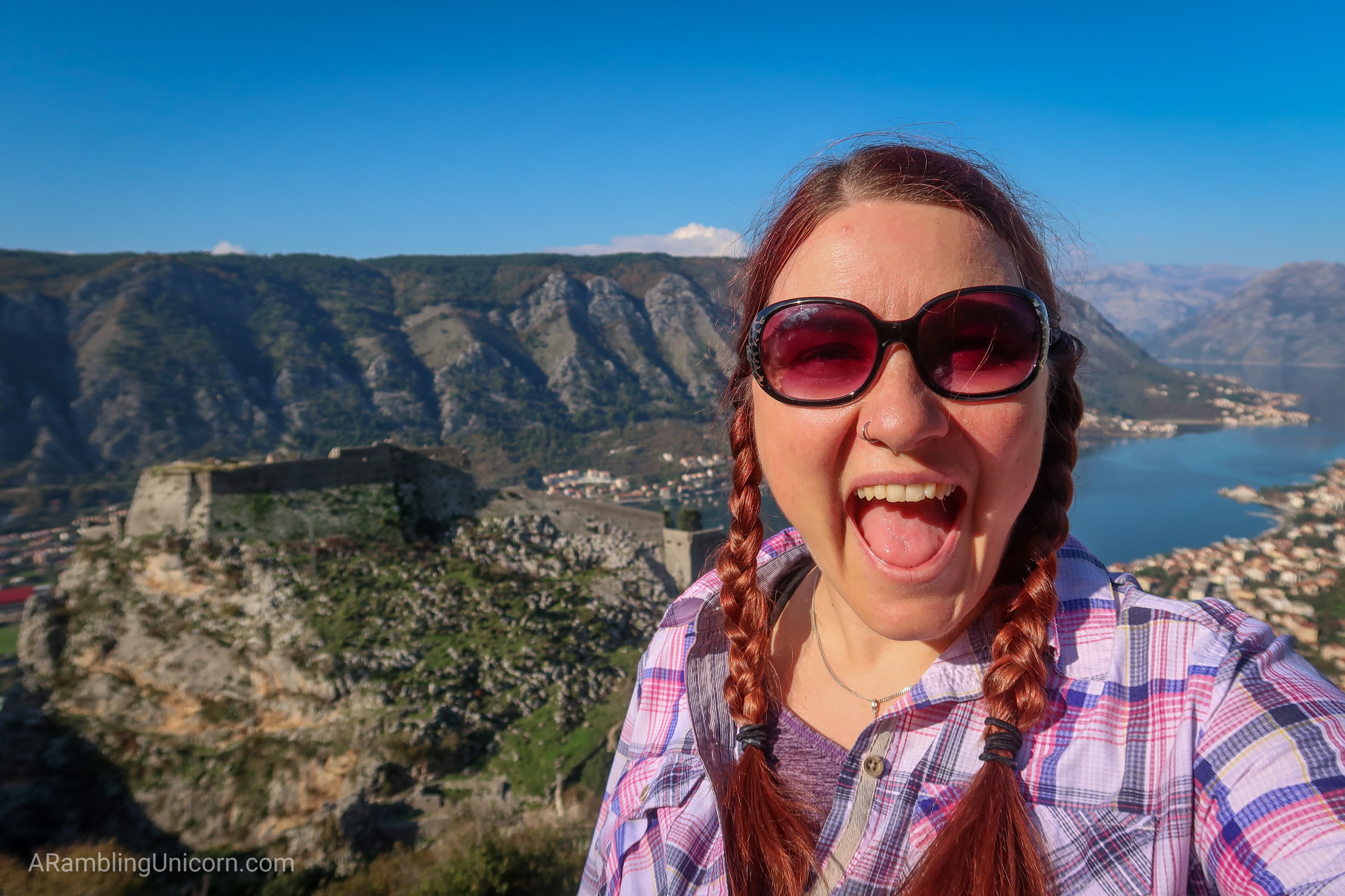
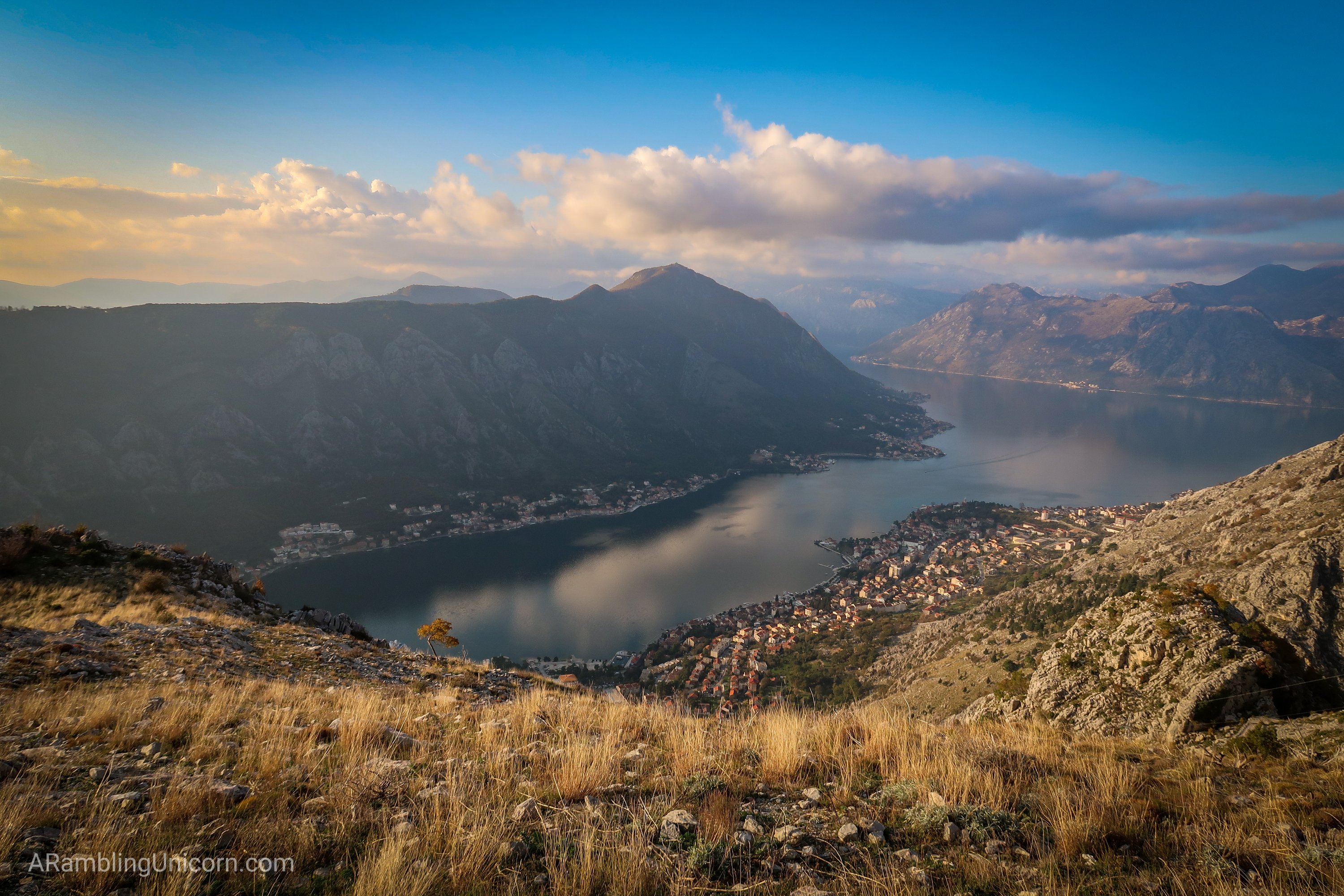
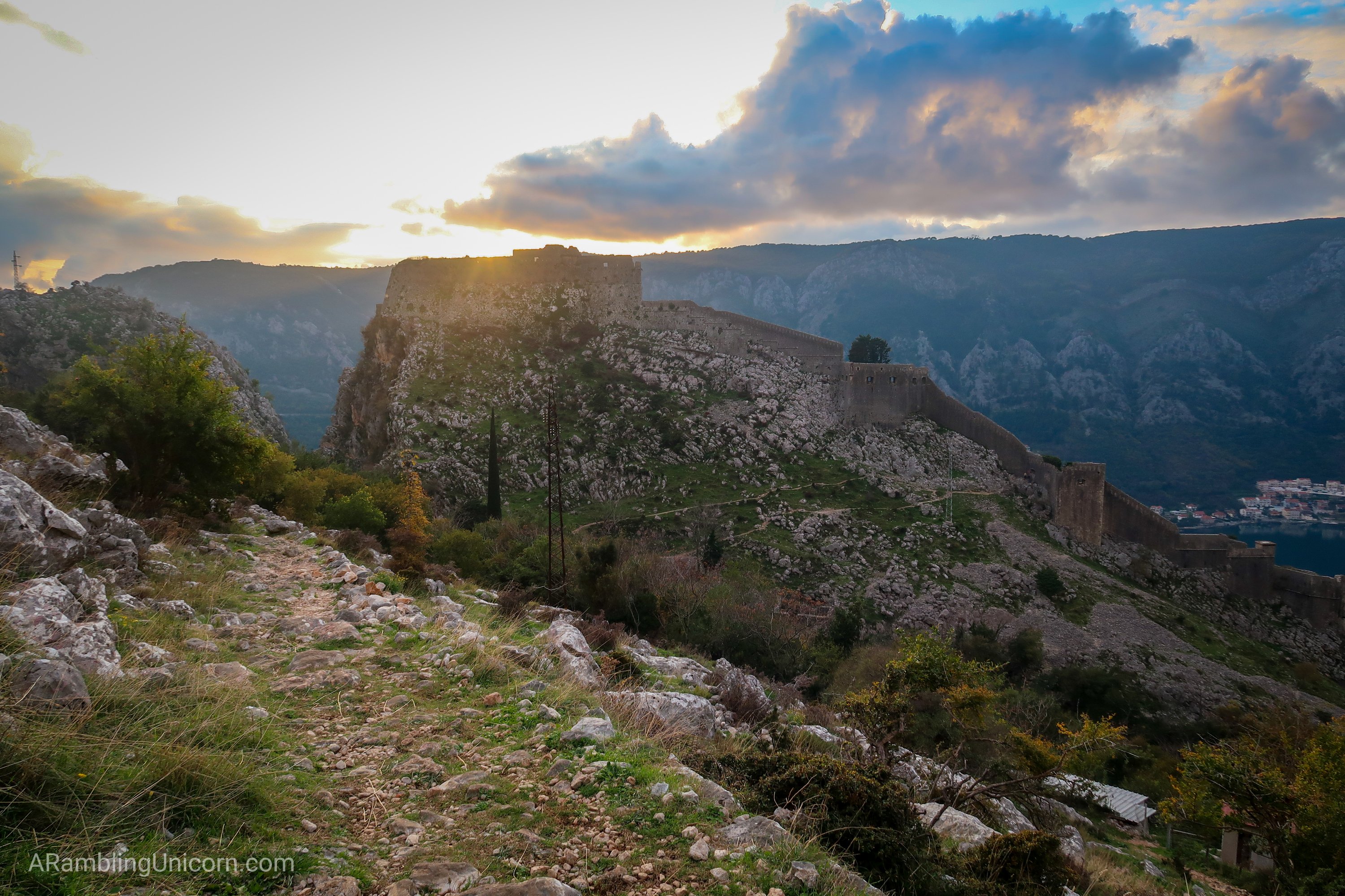
The view of Kotor and the fortress from near the top of the ridge. Enormous cruise ships pull into the bay right next to town.
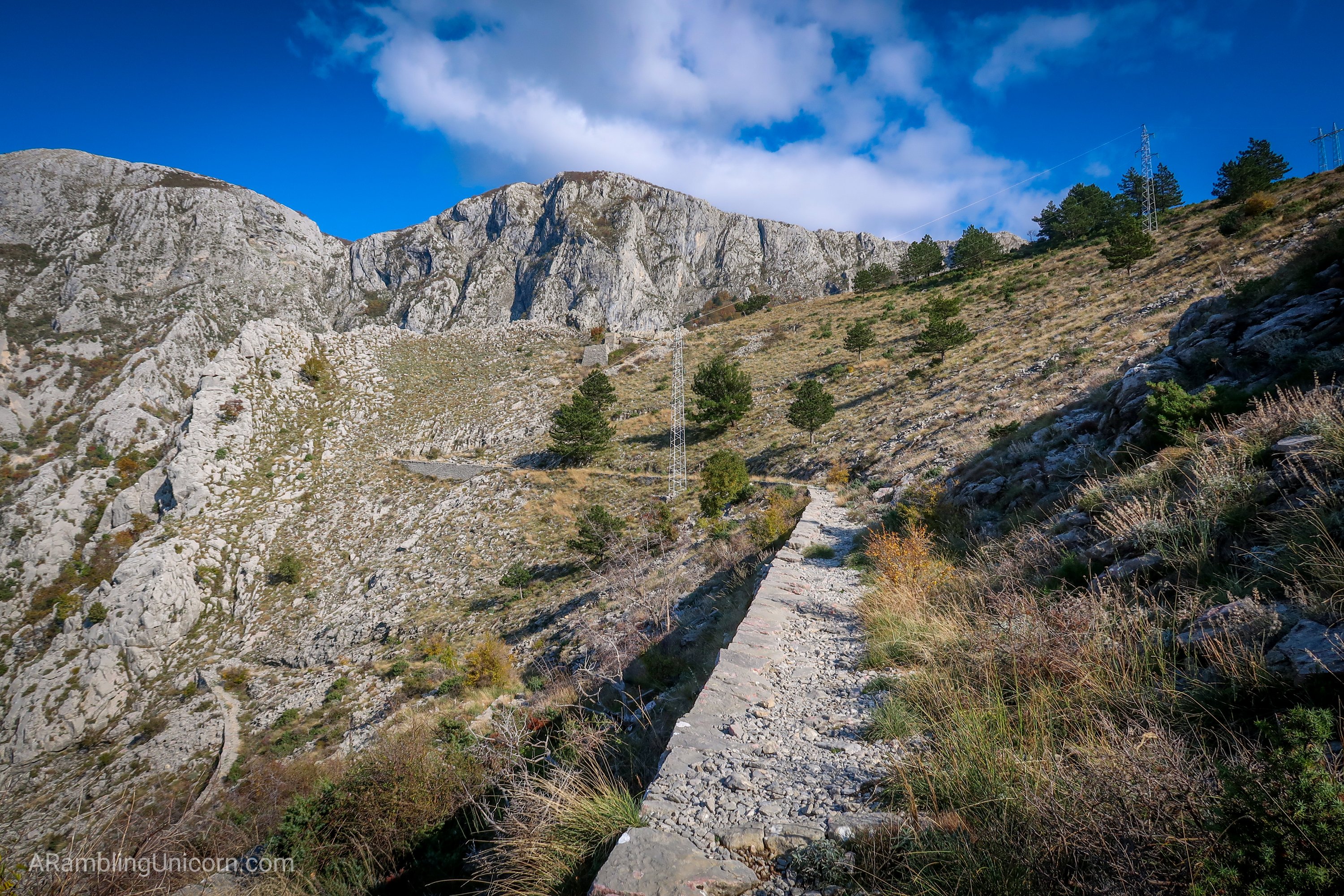
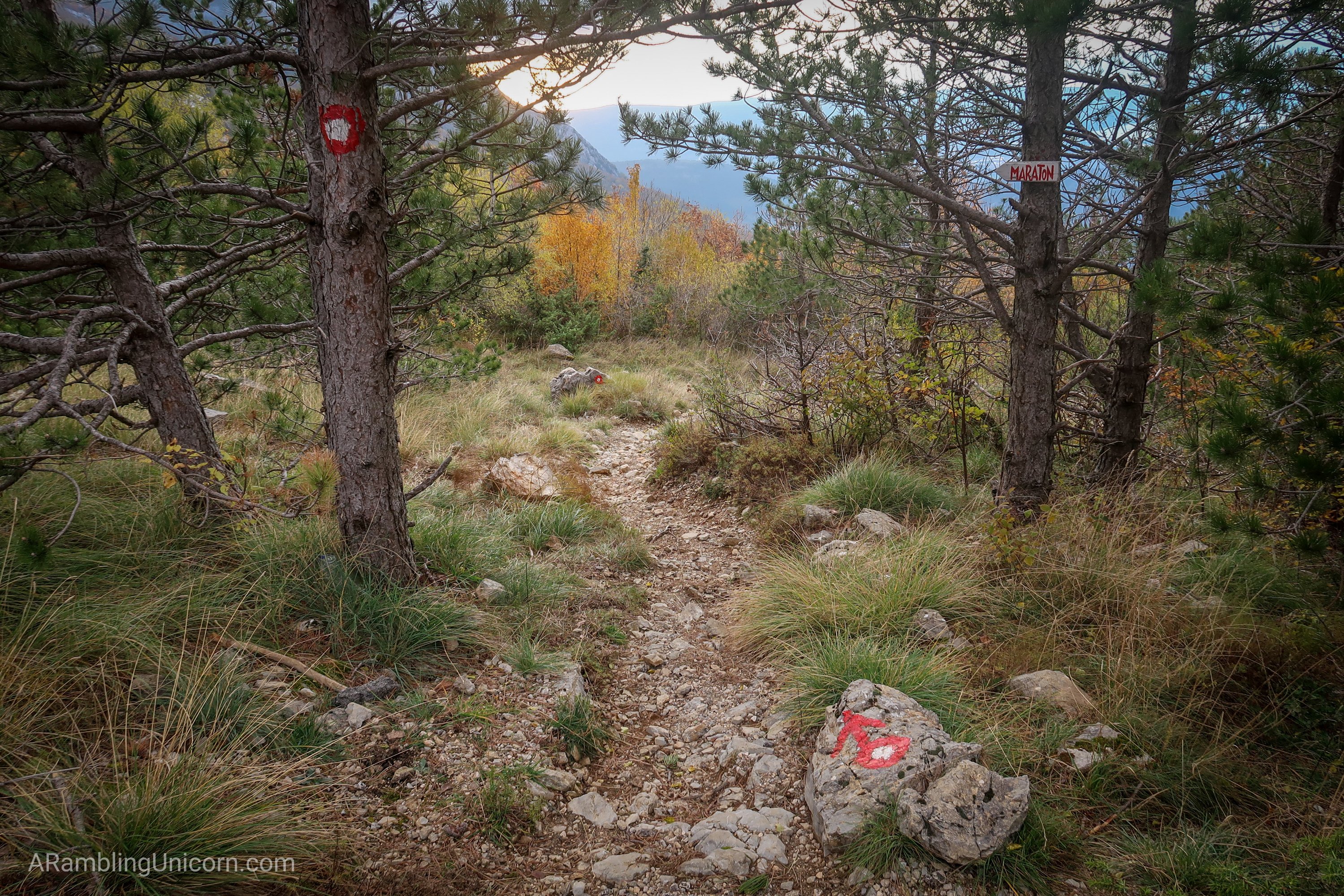
Finally I reached the top of the ridge and the path levelled off for a bit, heading east through some trees. Soon, I reached a trail junction. I looked at my map (well, the map app on my phone) for a minute, considering. Should I go right or left? I headed left and put my map away, confident in my excellent navigation skills.
The path continued through some trees, paralleling a stream below. “Ahh,” I thought to myself, “This is the life. The sun is shining, the woods are inviting, and the stream sounds lovely…wait a minute – why am I following a stream? That can’t be right!”
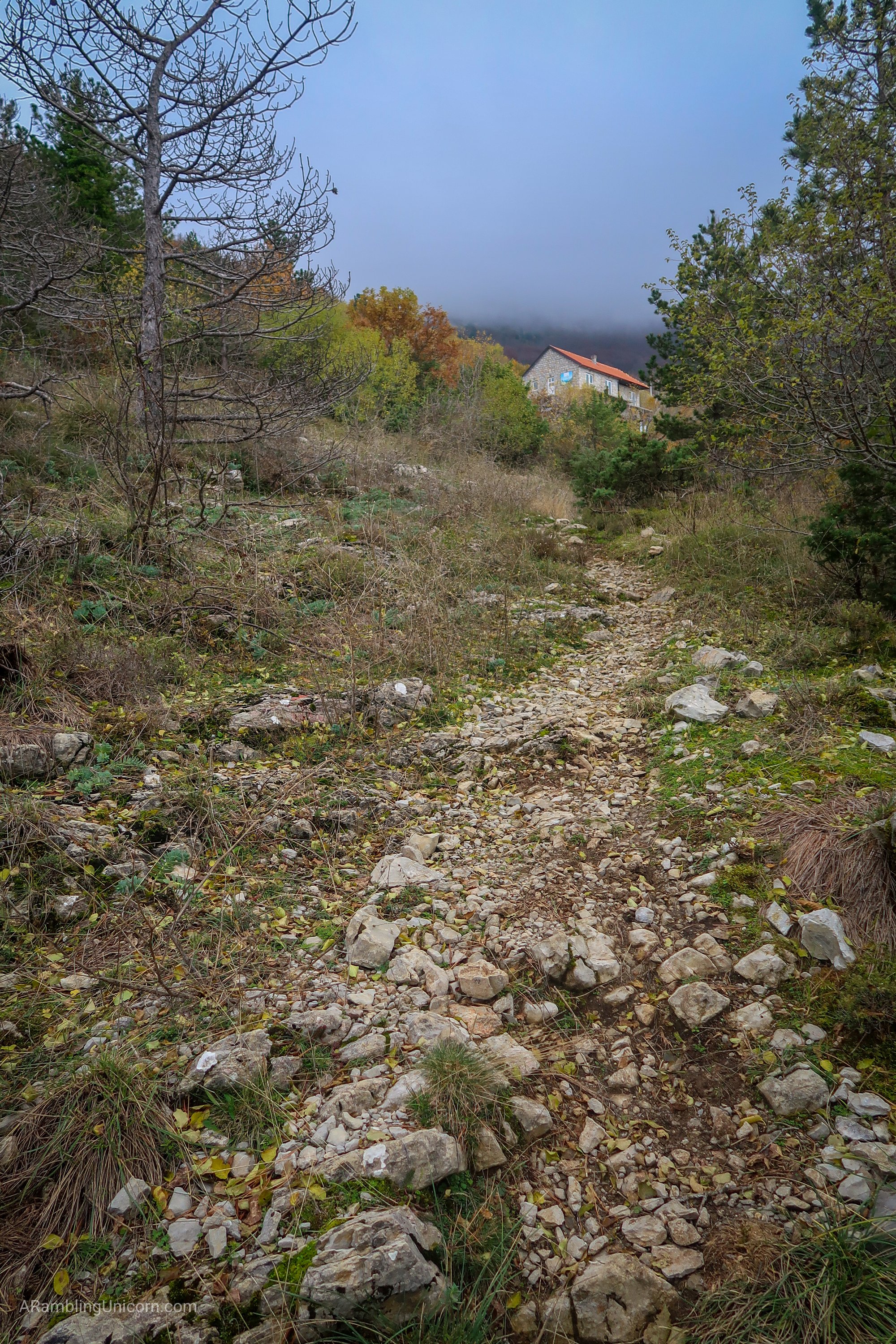
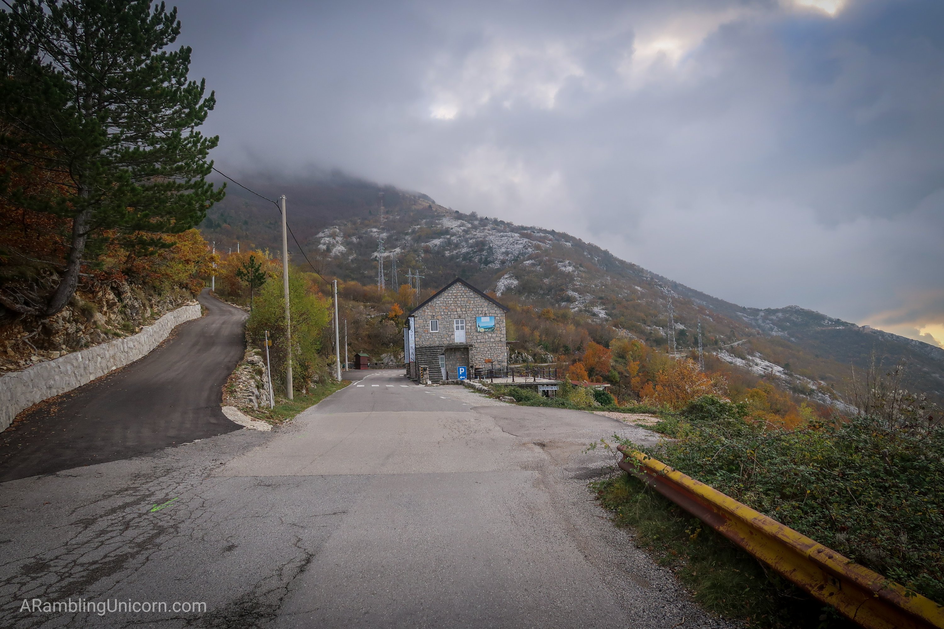
So I pulled out my map again and ascertained that I had, indeed, taken a wrong turn at the junction. I had gone over a kilometer in the wrong direction. *Groan* So I promptly turned around and hotfooted it back, this time taking the right fork. This path was much steeper than the other one. Before too long, however, I reached the road and – voila! – there was Restaurant Nevjesta Jadrana.
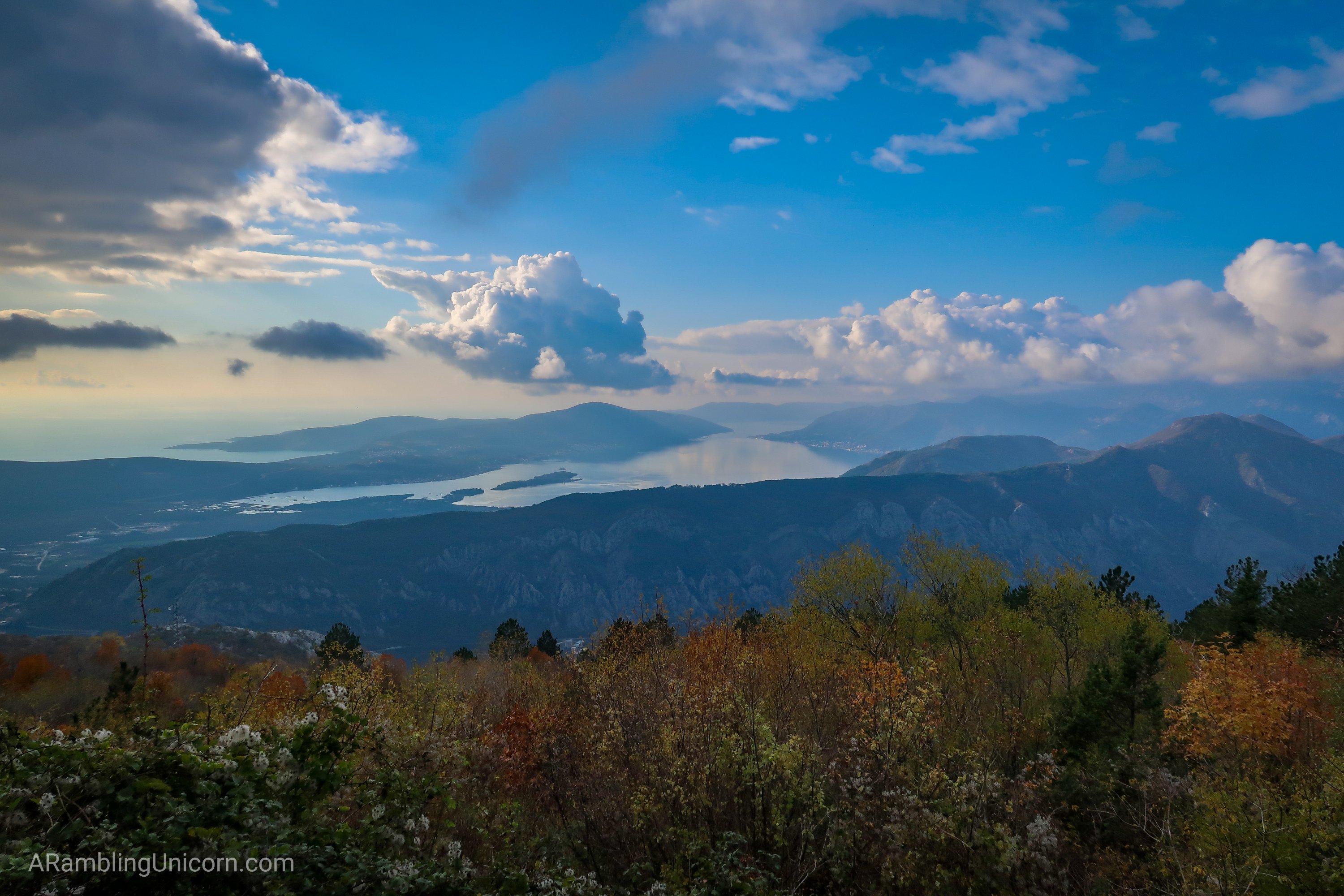
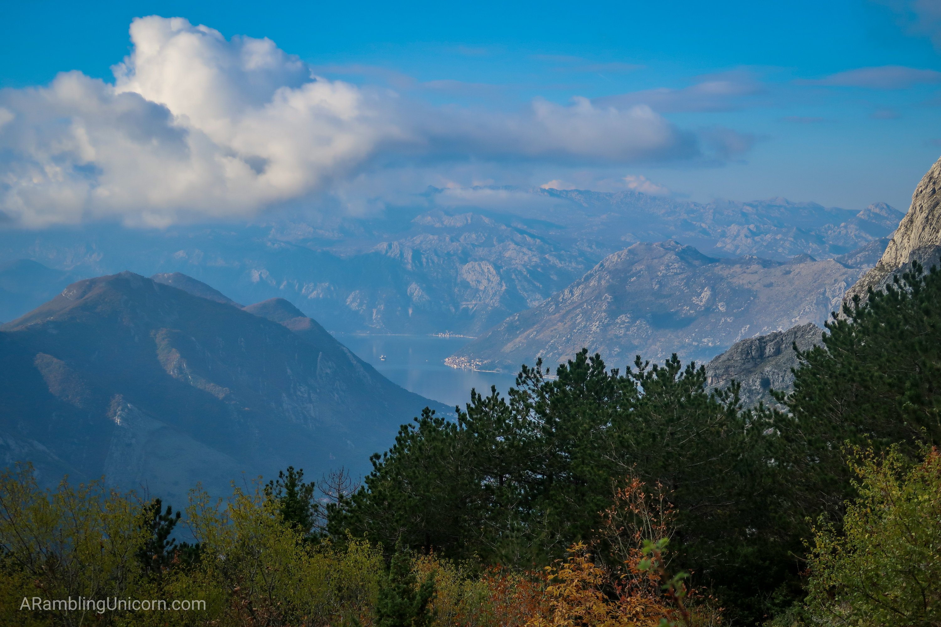
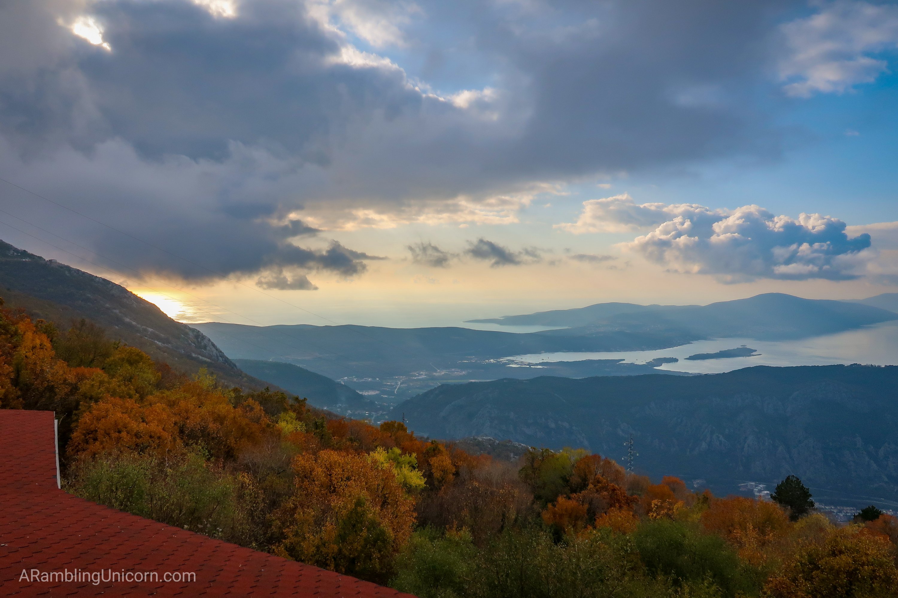
The restaurant was closed for the season but I had been expecting as much and had packed a lunch just in case. I perched on the restaurant’s patio and looked at the amazing view of Kotor Bay below me as I ate my sandwich. Sometimes referred to at Europe’s southernmost “fjord”, the Bay of Kotor is comprised of a bay inside a bay. I could see all the way past the innermost part of the bay to the bay beyond it. Absolutely stunning.
I checked the time and realized I had better hurry if I didn’t want to get caught in the dark. The sun sets around 4:30 pm in these parts and my detour had put me behind schedule a bit. As I hurried downhill, I ran into another hiker named Julian from Australia. We chatted for a minute and decided to hike the rest of the way down together. We were both hiking solo today and glad of the company.
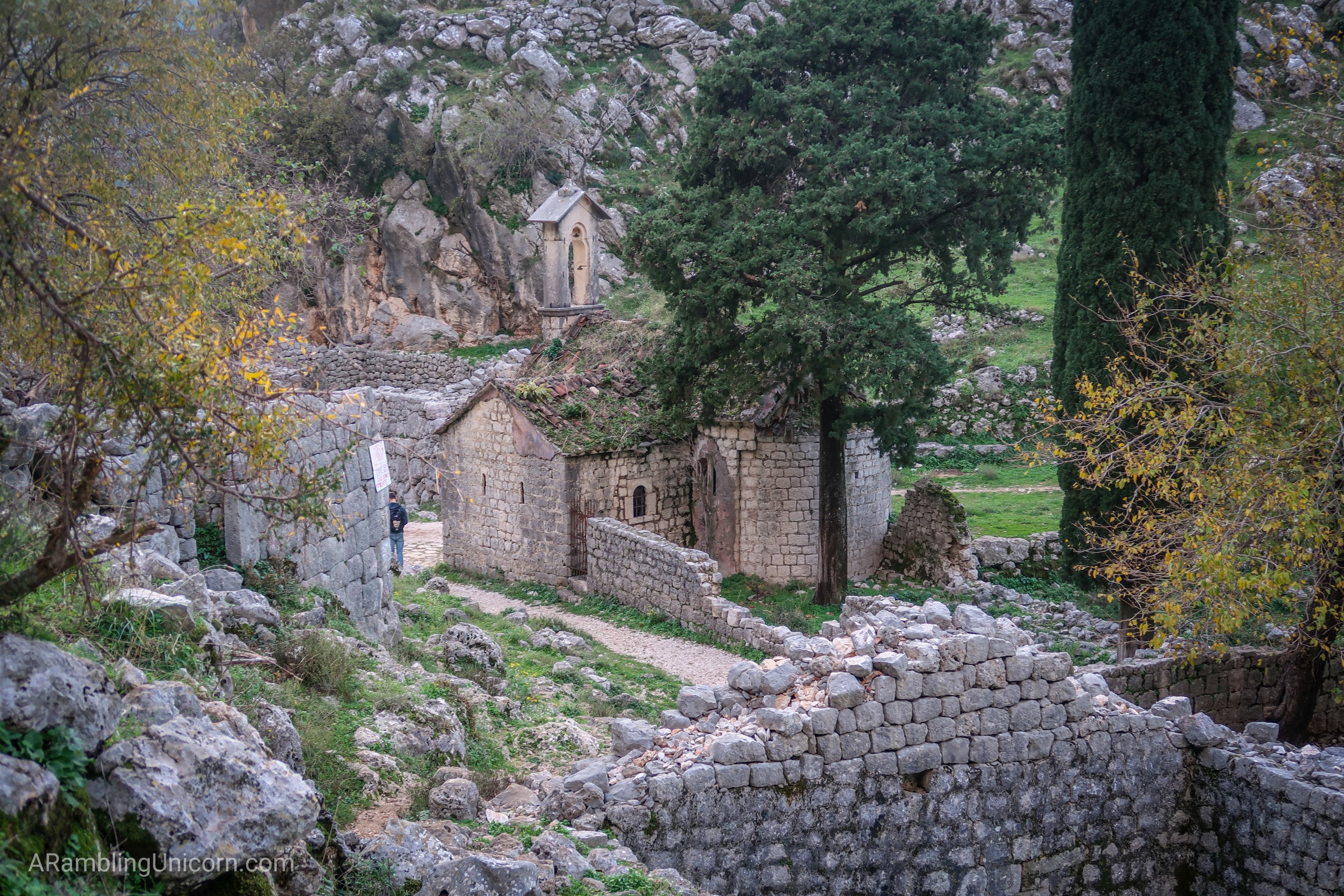
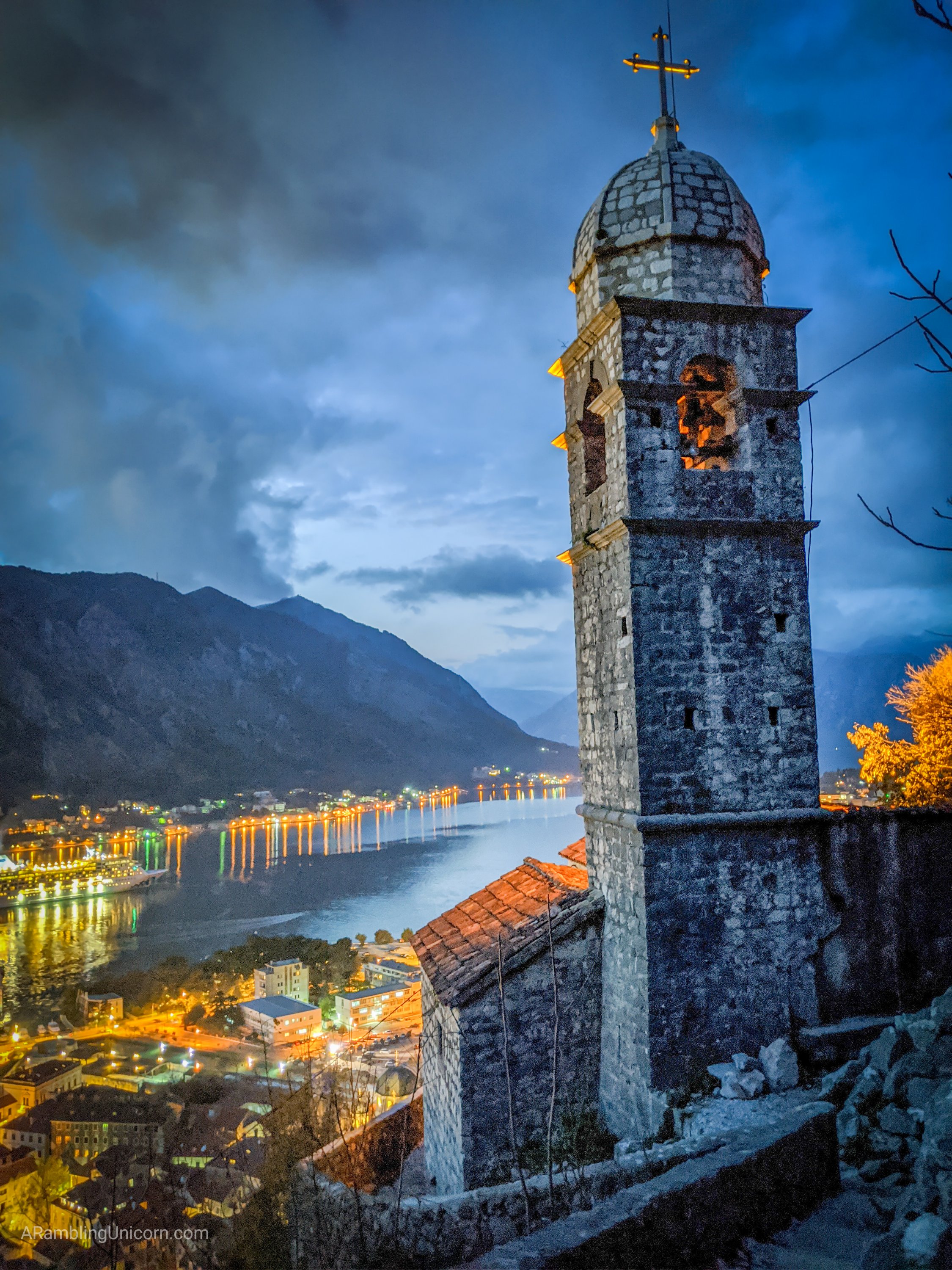
Julian also wanted to check out the fortress on the way back to town, so we headed there together. After passing the crumbling remains of St. John’s Church, we followed the trail to the fortress’s back wall where a ladder led to a window. Lucky for us, a guard was not posted to prevent access (probably due to it being low season). So we scrambled through and began exploring the old fortress remains.
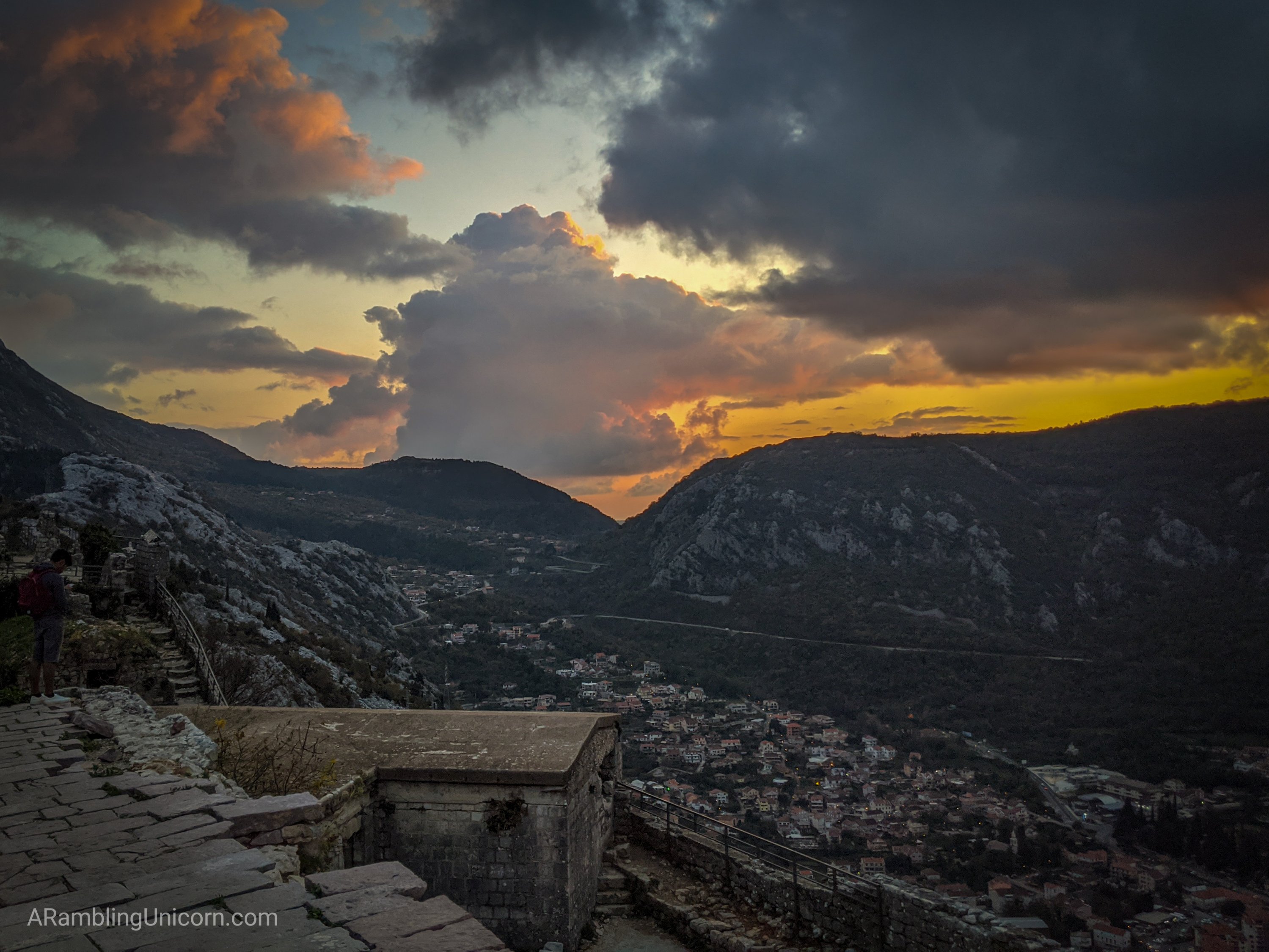
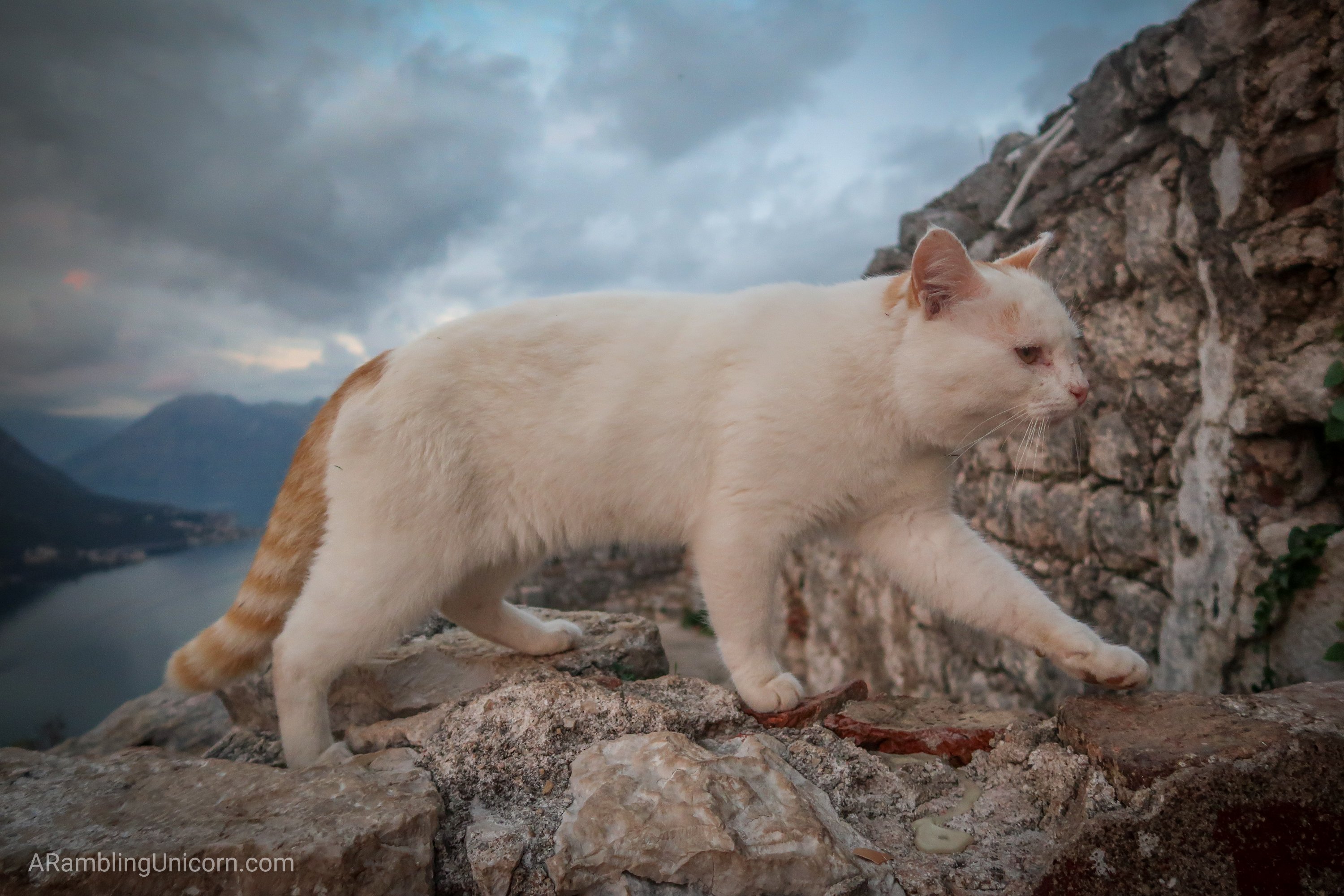
The sun was just beginning to set as we reached the top of the fortress. We sat down for a moment, enjoying the view. One of Kotor’s many stray cats made itself comfortable, sitting first in Julian’s lap and then mine. But it was getting late and we still had 1355 steps to descend, so we got up to go.
Dusk settled in as we began the climb down the fortress steps. I was very glad that I had a hiking buddy with me as it was starting to get rather dark. We had just enough ambient light to see, however, without having to use our flashlights.
Soon we were back in Old Town and I bid goodbye to my new friend. Now that was a hike that I won’t soon forget. What an amazing day.
More information
- Hiking the Ladder of Kotor in Montenegro | Earth Trekkers
- Kotor Fortress | AllTrails.com
- Hiking the Ladder of Kotor and San Giovanni Fortress | Montenegro Pulse
Where are we now?
View the map here: Kotor, Montenegro
Location: Kotor, Montenegro
Date: November 26, 2019
Vagabonding Journey Status:Â Day 57
For more details on our vagabonding journey, see my previous posts:
- Day 55: A Fresh Perspective on Dubrovnik: Hiking Mount Srđ
- Day 50: A Walk Around Dubrovnik’s City Walls in Croatia
- Day 45: Visiting KorÄula, Croatia in the Off Season
- Day 41: Hvar in the off season: Riding out a Historic Storm
- Day 38: Vidova Gora Trail: Hiking the Tallest Mountain in the Adriatic







0 Comments