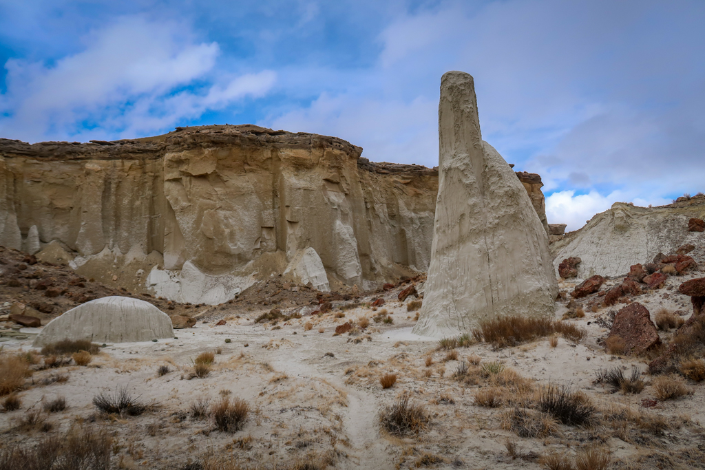
Tall ethereal spires topped with distinctive brown caps and eerie white sandstone mounds – all this and more greets the hiker who adventures along the Wahweap Hoodoos Trail near Big Water, Utah. Less of a trail and more of a ramble, the trek follows along a sandy creek bed for over four miles until it finally reaches the impressive Wahweap Hoodoos in Grande Staircase-Escalante National Monument.
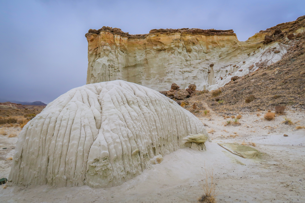
While the hike is long with somewhat repetitive scenery, the payout at the end is worth it. The hoodoos stand like ghostly sentinels surrounded by undulating mounds of white entrada sandstone, alien and absolutely beautiful.
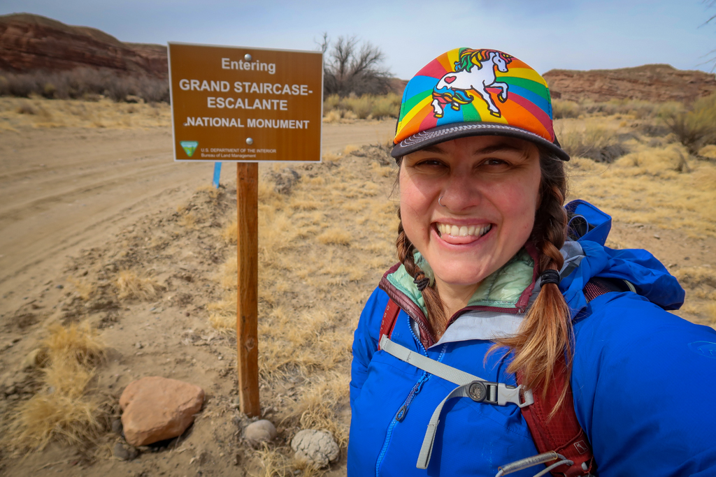
The formations also serve as an important reminder of public policy and preservation. These magnificent hoodoos used to be a part of the Grand Staricase-Escalante National Monument located in Southern Utah. A proclamation issued by former President Trump in 2017, however, reduced the size of the monument by half and removed the hoodoos from it. Thankfully, this action was reversed by President Biden in October 2021.
Please note: this hike follows along a dry creek bed and there is no “trail” to speak of most of the way. Hikers should have a map and basic route-finding skills. This hike is not suitable for wheelchairs or strollers. Dogs and horses are allowed but vehicles are not.
Table of Contents
The Changing Status of Grand Staircase-Escalante National Monument
Established in 1996 by President Bill Clinton, the Grand Staircase-Escalante National Monument originally encompassed an area of 1,880,461 acres. Stretching from the towns of Big Water, Glendale, and Kanab in the southwest, to the towns of Escalante and Boulder in the northeast, this massive monument included some of the most remote land in the country. If fact, it was the last area of the contiguous United States to be mapped by cartographers.
The landscape included under the original proclamation was vast and impressive. From the magnificent Grand Staircase of cliffs and terraces to the spectacular Escalante River Canyons and ghostly hoodoos, the Monument used to be a diverse geologic treasure.
But alas, all that changed in 2017. With one stroke of a pen, former President Donald Trump shrank the size of the monument by half to its current size of 1,003,863 acres. This meant that areas such as the Toadstool Hoodoos, Wahweap Hoodoos, and Sooner Rocks as well as popular Dry Fork slot canyons (Peekaboo, Spooky and Brimstone gulches) were no longer part of Grand Staircase-Escalante.
Update: on October 8, 2021, President Biden issued a Presidential Proclamation which returned Grand Staircase-Escalante back to its original size. This means that the hoodoos are now part of the National Monument once again.
More information about the National Monument is available at the Grand Staircase-Escalante page on the Bureau of Land Management web site.
Trailhead and Parking for Wahweap Hoodoos Trail
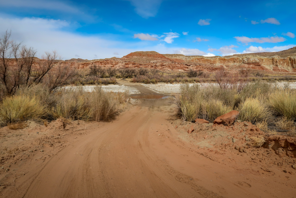
The trailhead is located near the town of Big Water, Utah and is about a one-hour’s drive from Kanab (to the west) or Page (to the east). The road to the trailhead is unimproved so be prepared to drive on gravel roads for 2-3 miles. About a half-mile from the trailhead, the road crosses a creek bed which sometimes has water in it. Because of this, many visitors choose to park on the other side of the creek and walk across. That’s what I did because I was worried about being trapped on the other side if the water levels rose. This adds .7 miles to the hike each way for a total of 1.4 additional miles.
Driving directions: Big Water is located on US Highway 89. I recommend stopping by the Big Water Visitor Center first to get a map and current conditions – to do so turn south at the intersection of Highway 89 with Ethan Allen road. After your visit, drive north on Ethan Allen Road for .6 miles to Fish Hatchery Road and take a left.
From here, you’ll drive along a gravel road for 3.2 miles past the fish hatchery to the trailhead. If you don’t want to cross the creek bed, drive for 2.5 miles instead and look for a pull-out along the side of the road. From here you can follow the road to the trailhead.
My Experience Hiking to the Wahweap Hoodoos
Note: Before starting out on this or any desert hike, be sure to bring plenty of water and sun protection, wear sturdy footwear, pack the 10 essentials, and leave no trace of your visit behind. Avoid hiking in summer or in the hottest part of the day. I also recommend a broad sun hat. This area is prone to flash floods so pay attention to the weather forecast and exercise caution if it rains.
My favorite hiking shoes? I never hit the trail without my Altra Lone Peak Trail Running Shoes.
Hiking along the Creek Bed
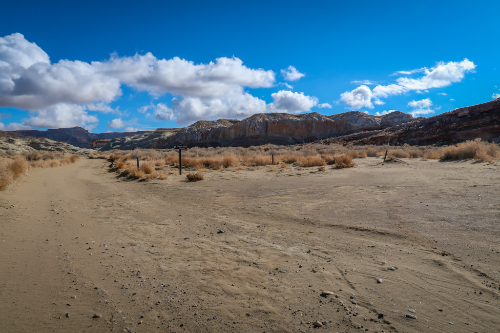
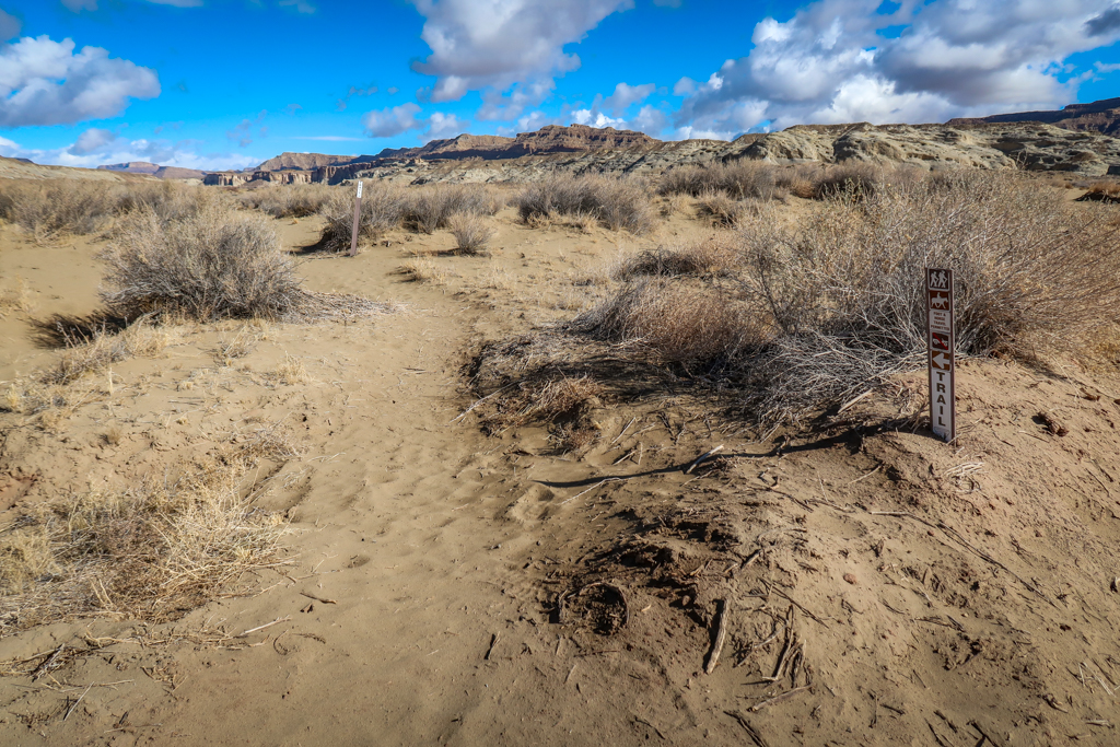
The Wahweap Hoodoos Trail is a long march up a (hopefully) dry wash for about four miles. From the trailhead, continue along the dirt road for about .1 mile until you see a trail marker on the left side of the road. Here, the trail heads northwest across a flat sandy area to a gate. The Wilderness Study Area officially begins at this point and all motorized traffic is prohibited. Pass through the gate (being careful to shut the it behind you) and continue north.
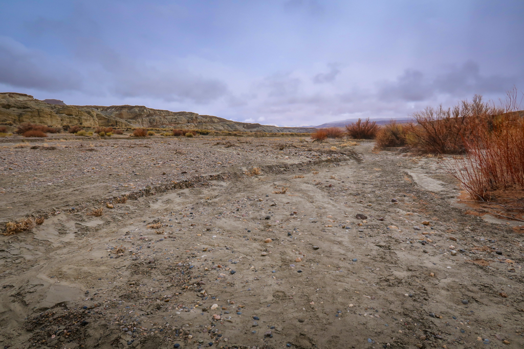
From here on out there is no trail to speak of. You simply follow along the creek bed until you reach the hoodoos. You should definitely have a map and know how to use it before attempting this hike. Personally, I downloaded the map to my phone ahead of time using the AllTrails app and I brought along a portable battery charger in case my phone died.
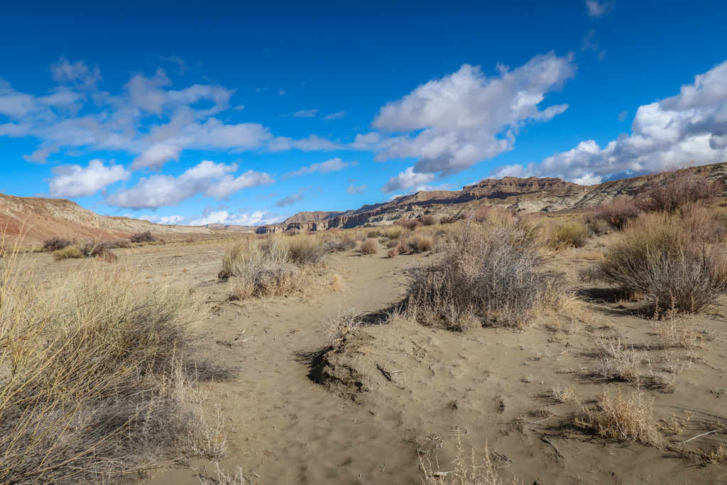
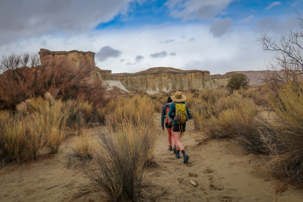
I began the hike by hiking along the area adjacent to the wash. It was really sandy and hard to walk through however so I quickly switched to walking in the dry creek bed itself.
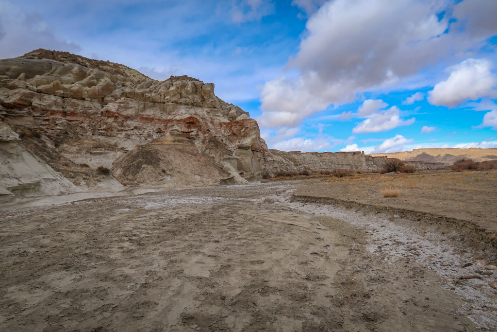
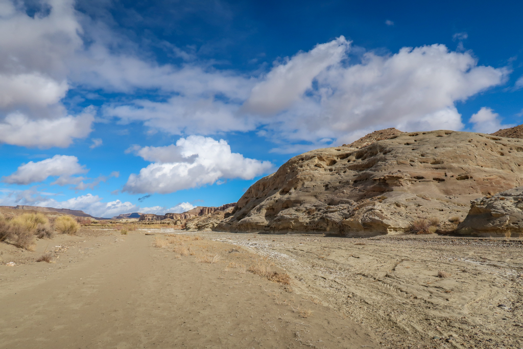
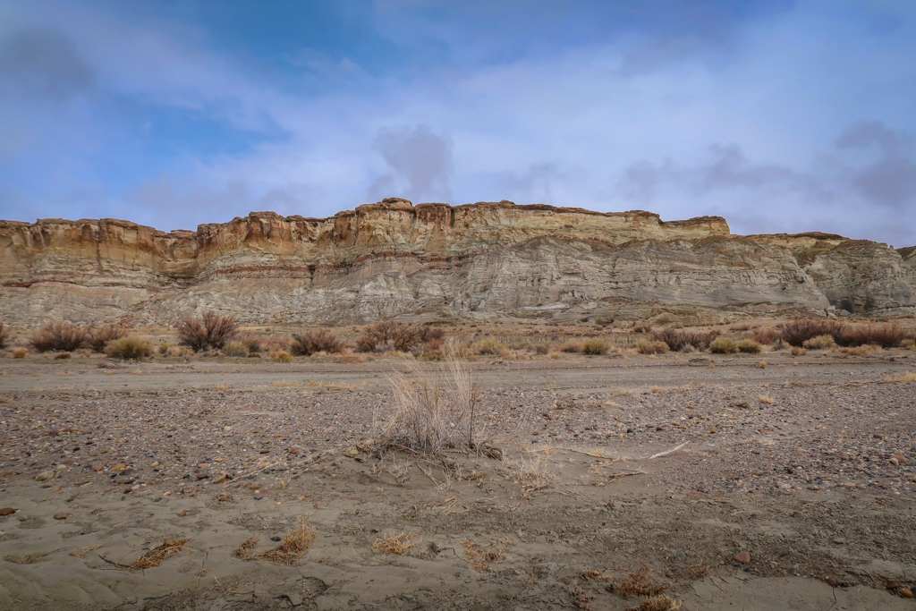
This photo is taken after I’ve hiked for about 3.5 miles. The hoodoos are barely visible in the distance.
The First Group of Hoodoos
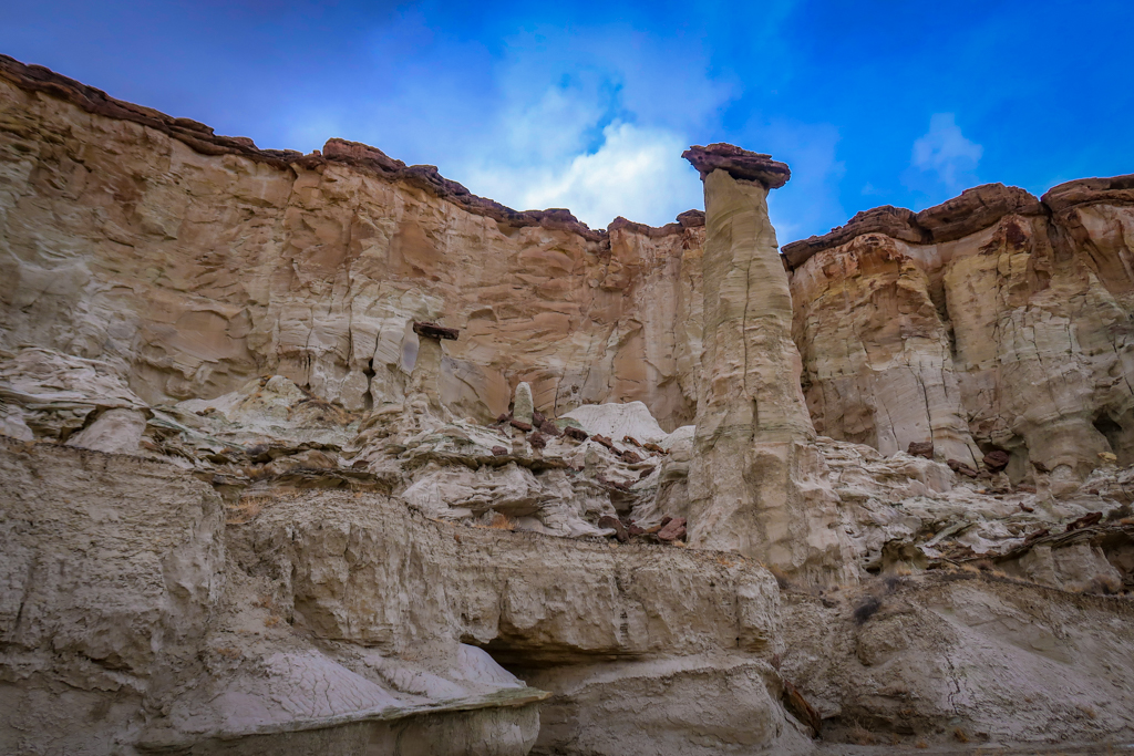
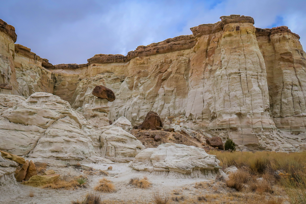
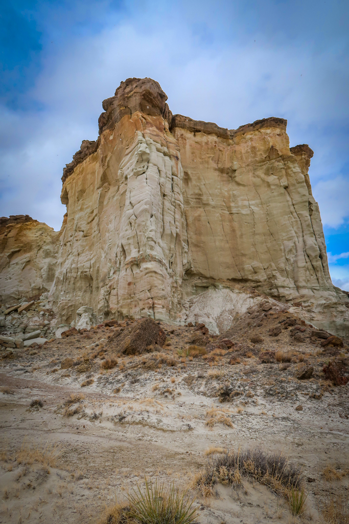
There are several groups of hoodoos to explore and the first is reached after hiking for about four miles. The hoodoos are positioned along the left (west) side of the trail along the canyon wall and are easily visible from the creek bed. The spires are surrounded by a distinctive ragged cliff face that can be seen from miles away.
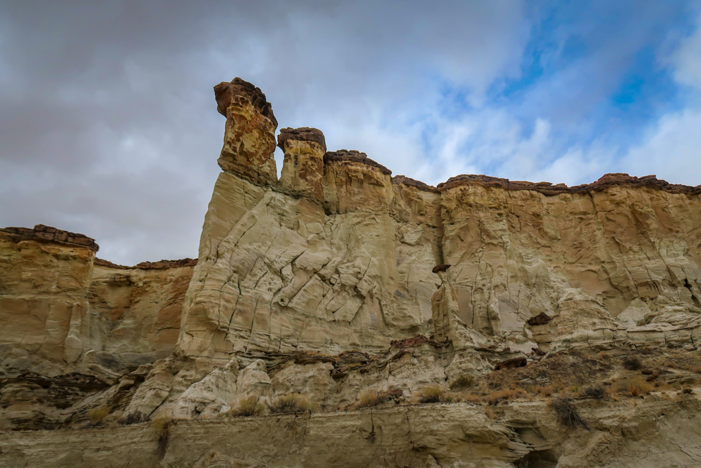
The first group of hoodoos as viewed from further away with the ragged cliff face in the background.
The Second Group of Hoodoos
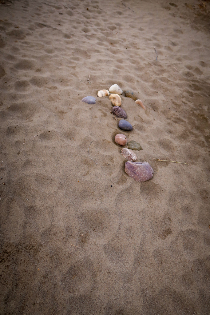
Finding the next group of hoodoos takes a little bit of effort. A big brushy area blocks the path between the first two sets of hoodoos that is impossible to cross. You’ll have to circle around these bushes until you find a path through on the north side. I blundered around in the bushes for a bit until I finally pulled out my phone and located the correct path on my map program. When I hiked the trail, someone had thoughtfully placed an arrow on the ground made of rocks to ensure other hikers found their way.
The Third Group of Hoodoos
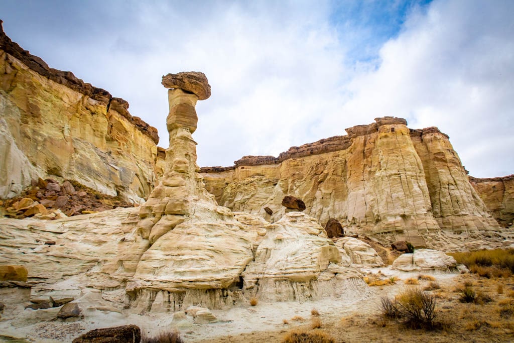
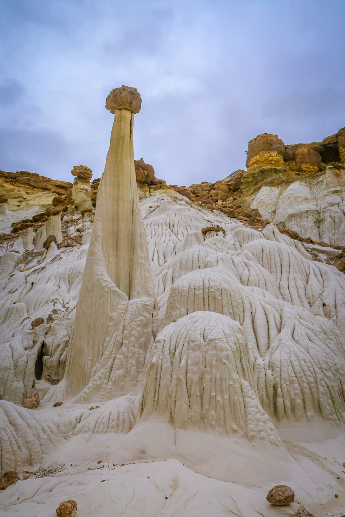
Once you’ve found the second group of hoodoos, the third is easy to locate. It’s about a three minutes away around the corner of a tall rock wall. These ones are perhaps the most spectacular as they are formed of white sandstone. Undulating mounds of white entrada sandstone line the canyon walls here and are out of this world.
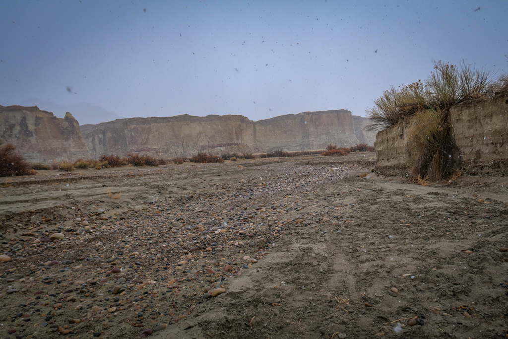
During my visit, a big storm rolled in just as I made it to the third group. Snowflakes swirled around me as I marveled at these magnificent spires. So I didn’t stay long. Unfortunately the dark sky made it difficult to take great photos so I did the best I could.
The Return Hike (in the Snow!)
Normally the return trip is the least interesting part of a hike. Not in my case. By the time I began heading back, the snow was falling in earnest. I make it a point to be ready for kinds of weather whenever I hike, so I was prepared with a puffy coat, extra layers and a raincoat.
But it was still a little nerve-wracking to be caught in a snowstorm all alone in the wilderness miles from my vehicle.
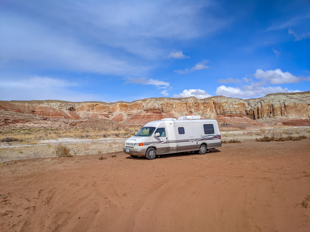
I was also worried that my RV would get stuck in the snow. Plus, I had no idea if snow would cause a flash flood (is that a thing?). So I hiked extra fast, while paying close attention to the creek bed behind me, and made it back in record time. The quick pace and extra layers helped to keep me toasty warm.
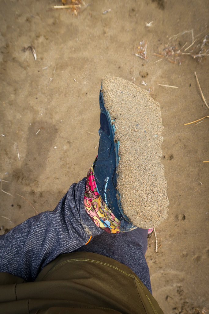
Thankfully, the snow didn’t last for the entire return hike. The snowfall stopped after about an hour and the skies cleared. The wet sandy ground made for interesting walking, however. The muddy earth clung to my shoes in a thick layer and made my feet super heavy. I kept having to scrape it off.
By the time I arrived at the trailhead, blue skies shone overhead. It just goes to show the weather can change quickly in the wilderness and you can never be too prepared!
Trail Information and Map
- Distance from the trailhead – 9.1 miles roundtrip
- Distance from my parking spot across the creek – 10.5 miles roundtrip
- Elevation Gain – 406 feet
- Starting Elevation – 4055 feet
- Highest Elevation Point – 4417 feet
Have you hiked the Wahweap Hoodoos Trail? I’d love to hear from you! Share your experience in the comments below.
Like this article? Pin it!
Note: This post contains affiliate links, which means I may receive a commission if you click a link and purchase something. While clicking these links won’t cost you anything, they will help me to keep this site up and running!











Wow these pictures are so on point! Did you take them yourself?
Yes I did, thank you! I actually planned to take a lot more photos, but the arrival of snowstorm changed my plans and I had to hike out quickly. It was quite a little adventure lol !
Wow the Wahweap Hoodoos Trail seems amazing. would love to do this!
It’s an awesome hike! Hope you get a chance to do it someday!
Lovely images and looks like a wonderful hiking adventure.
Great tips on parking and the creek, I can totally see myself being a bit oblivious and then getting stuck there. The Wahweap Hoodoos Trail looks like a really interesting hike!
Thanks Katherine! Yeah parking and road conditions are important to know beforehand, especially when you drive a fragile RV like I do!
This is gorgeous! I had no idea that this place existed but it’s stunning. Don’t you love it when weather changes unexpectedly on a hike lol.
Thanks Anna! Yeah it’s always an adventure when the weather suddenly changes lol
What an awesome hike! I love the rock formations here. Thanks for putting this gem on my radar!
Thanks! I’m so glad you enjoyed it!
I have heard so many things about hiking in Utah! It sounds so amazing!
This is the only hike I’ve gone on so far in Utah, but I can’t wait to go back and explore more!