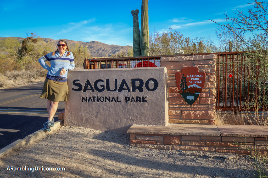
Dreaming of warm sunny days in the Arizona desert? Then be sure to check out Saguaro National Park, home to the nation’s largest cacti. My husband Daniel and I visited Tucson over the Christmas holiday and spent 3 days wandering the cactus forests in Saguaro National Park. This Saguaro National Park itinerary will share the highlights from our trip and provide an overview of the best places to visit in the park.
Table of Contents
About the Park
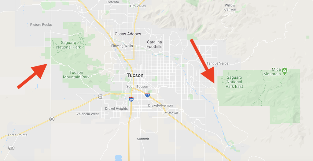
Saguaro National Park is somewhat unusual as it is divided into two sections. The Eastern District (also called the Rincon Mountain District) is located to the east of Tucson and the Western District (also called the Tucson Mountain District) is on the opposite side of the city. I don’t recommend trying to see both in the same day as it takes about an hour to drive between the two. The city of Tucson makes a great base of operations, however, from which to explore both halves of the park.
The park began its life as National Monument. Established by Herbert Hoover in 1933, Saguaro National Monument was intended to protect the grandest stand of Saguaro cacti in the United States. Initially covering only the eastern section of the park, the Monument was expanded to include the western half in 1961. The Monument was elevated to National Park status in 1994 by an act of Congress.
The Magnificent Saguaro Cactus
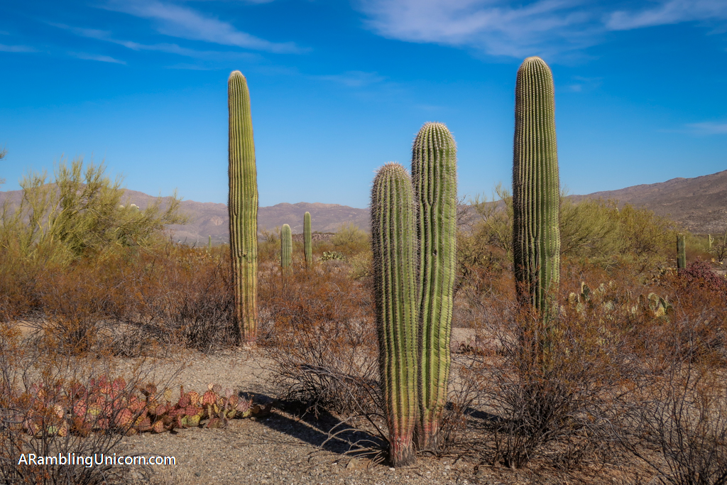
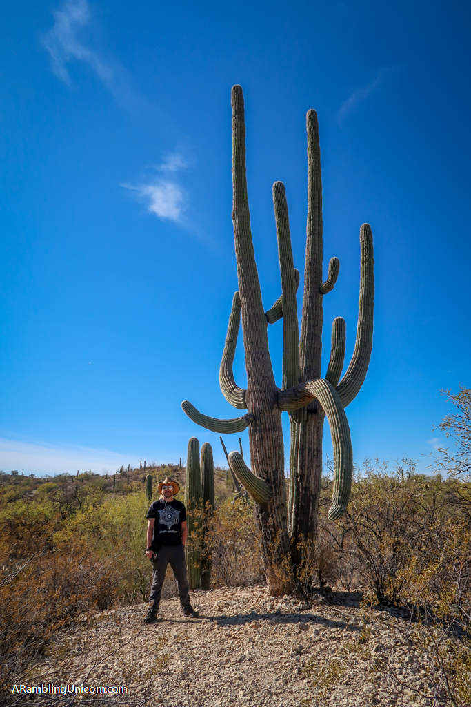
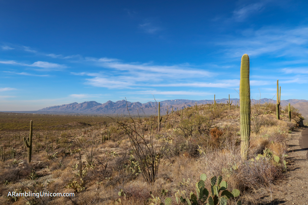
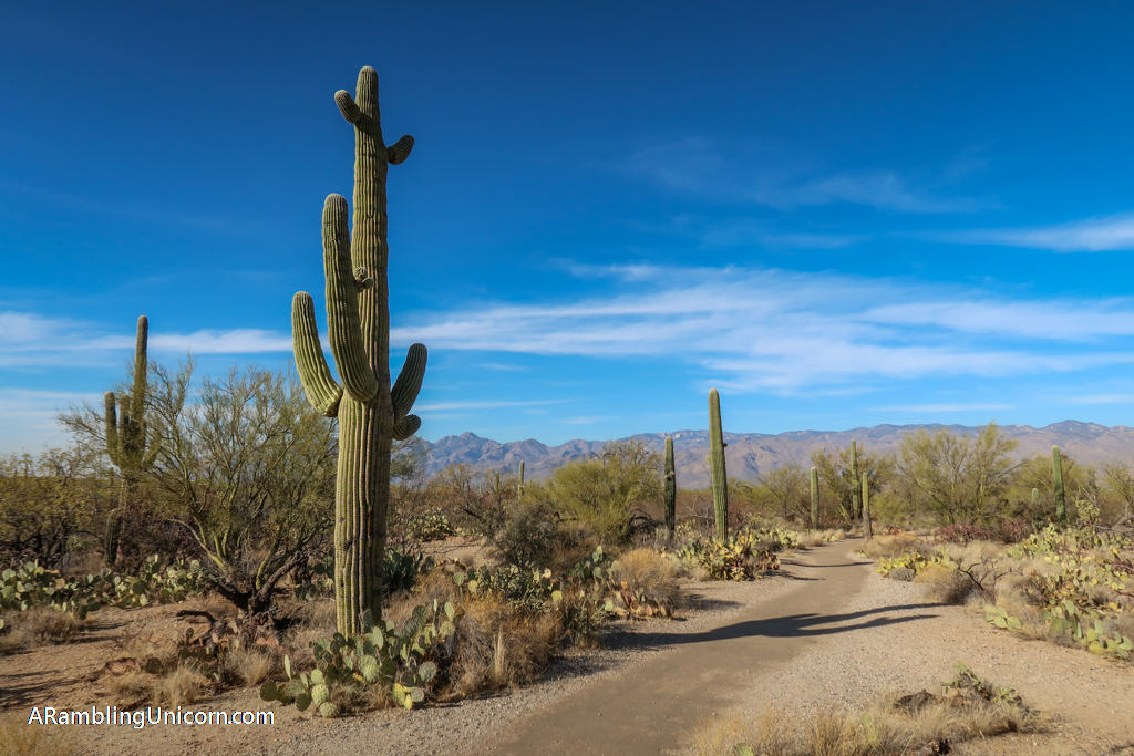
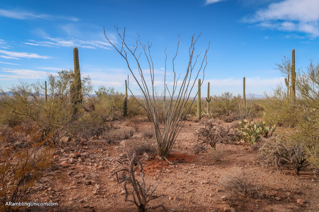
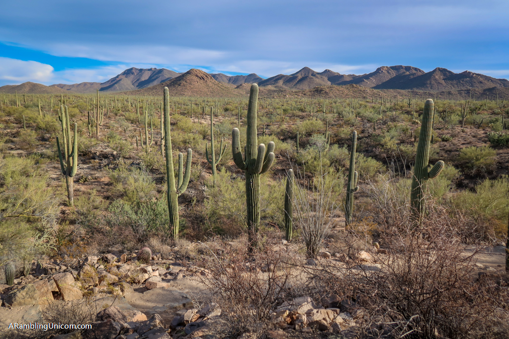
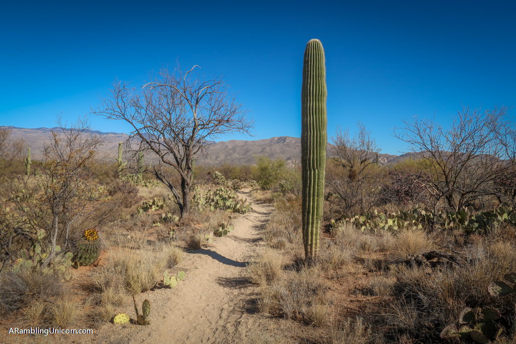
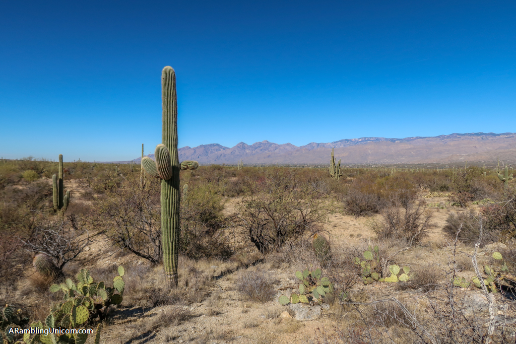
One of the defining plants of the Sonoran desert, saguaro (pronounced suh-waa-row) are large tree-like cacti that typically develop branches as they age. Although some cacti never develop any branches, they can develop as many as 25. Saguaros can grow to be between 40-60 feet tall and can live to be as much as 150-200 years old.
Located exclusively in the Sonoran Desert, these majestic plants are a protected species. In Arizona, cactus rustling (stealing or killing the state’s iconic saguaros) is a felony. Despite these protections, cactus rustling is unfortunately a problem plaguing the National Park.
Saguaro National Park Itinerary Day 1: Saguaro East
Daniel and I started our visit to Saguaro National Park by visiting the Eastern District. Nestled in the Rincon Mountain range, the eastern section covers 66,947 acres – which is twice the size of the western half. It is also more mountainous and includes the park’s highest point in elevation (Mount Mica at 8666 feet). The Visitor Center is closed on Tuesdays and Wednesdays during the winter months, so we weren’t able to go inside during the first day of our visit.
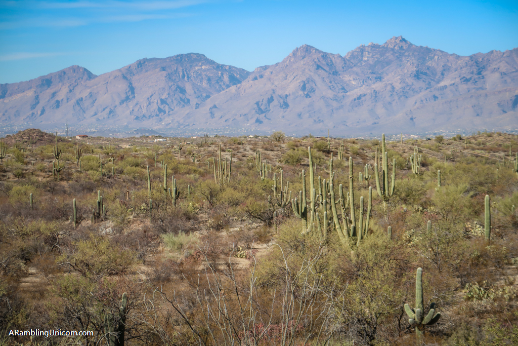
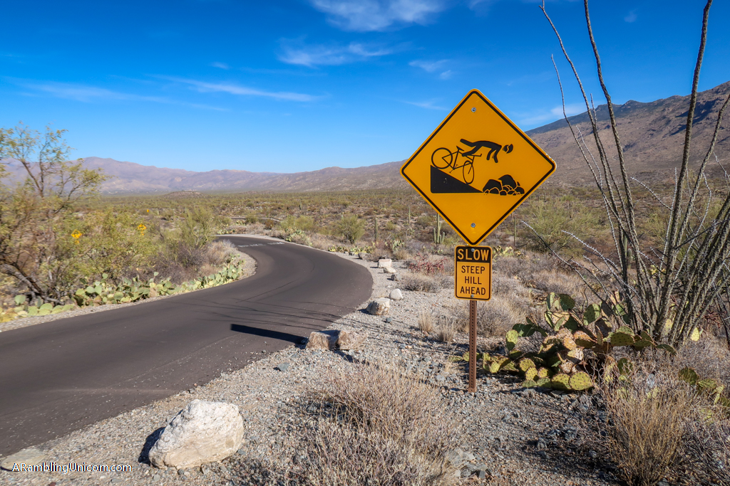
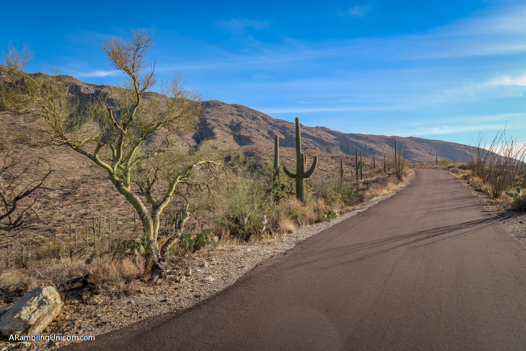
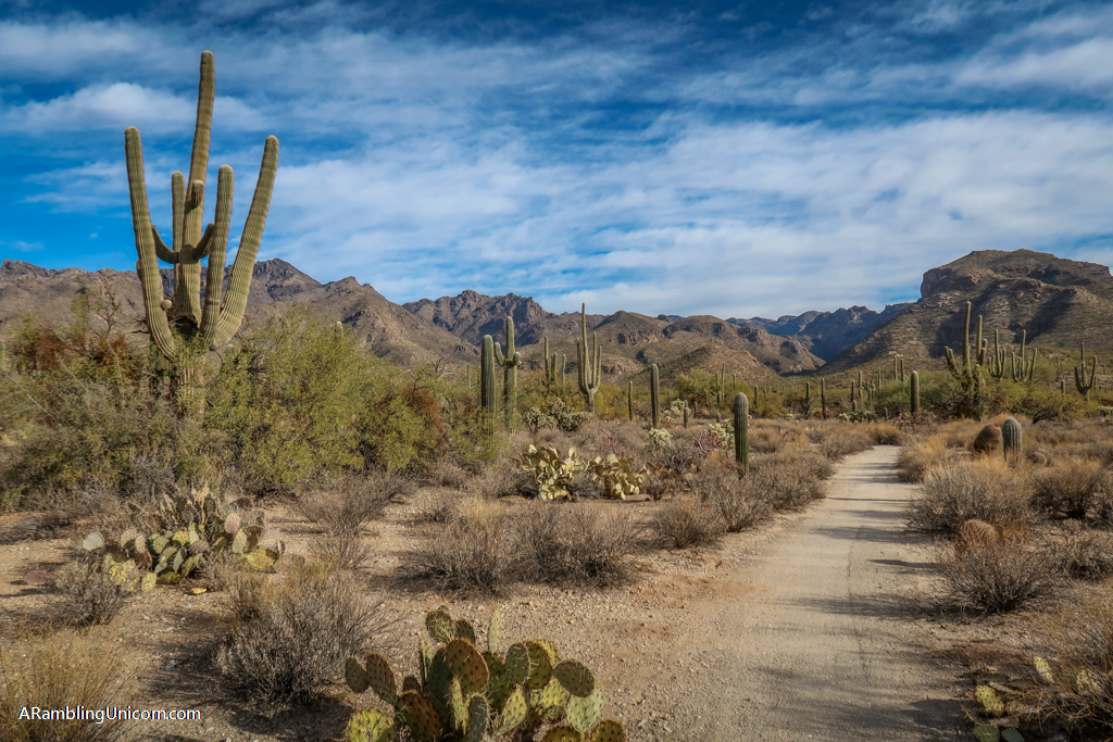
The best way to explore Saguaro East is to take a scenic drive along Cactus Forest Drive, which is popular with both cars and bikes. This one-way paved 8-mile loop offers a leisurely view of desert life. This was our first time seeing saguaro cacti in person and we could barely contain our excitement. Thankfully, the loop road offers plenty of pull-outs to stop and get a closer look at nature. It took us a long time to complete the entire drive because we kept stopping to take photos.
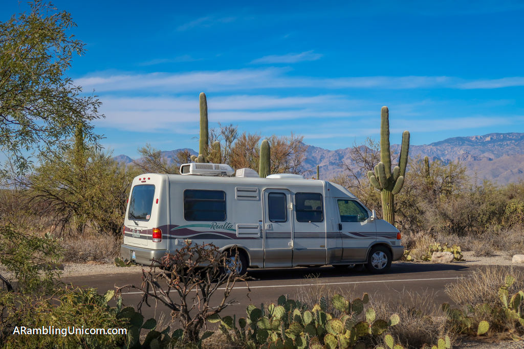
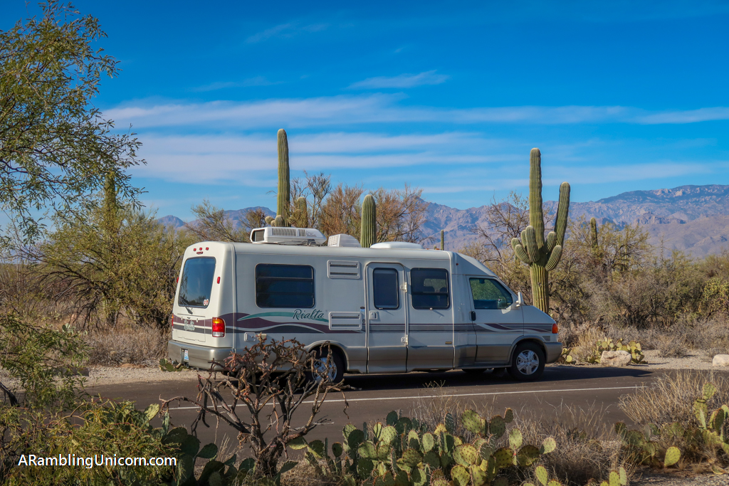
A spur road for the Mica View Picnic Area is located about one-third of the way along the drive. This is a great spot to stop and eat lunch. The spur road is not paved but it was not too difficult to manage when we drove it in our small RV. The trailhead for Mica View Trail is also located here. This easy trail links to the Broadway Trailhead and connects to a network of other hikes in the park.
The Desert Ecology Trail is also located near the Mica View Picnic Area on Cactus Forest Drive. We didn’t get a chance to explore this short interpretive trail but it is a popular destination with visitors.
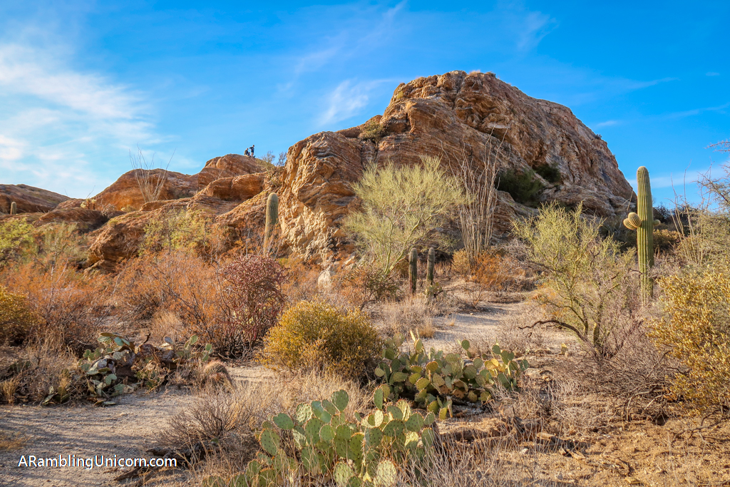
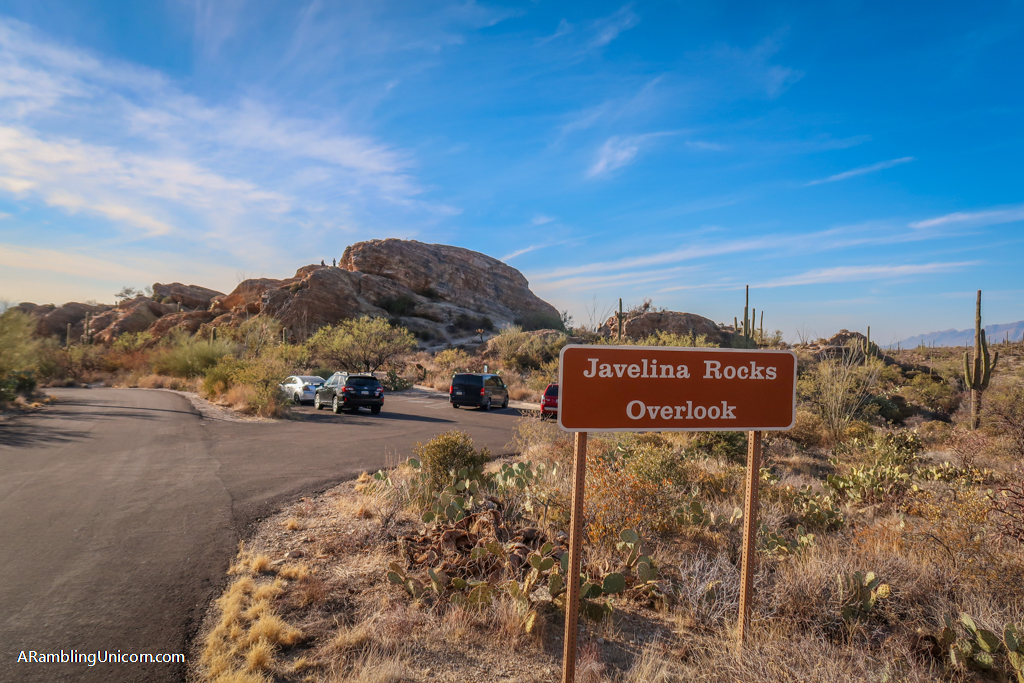
The Javelina Rocks area is located about two-thirds of the way along Cactus Loop Drive. The rocks are named after javelinas, which are medium-sized animals that look like pigs (but apparently are not related to pigs at all). Javelinas like to hang out near the rocks but we didn’t see any during our visit.
There were lots of other people in this area, however, as it is a popular place to visit. The rocks are fun to climb on and attract scramblers of all ages.
Saguaro National Park Itinerary Day 2: Saguaro West
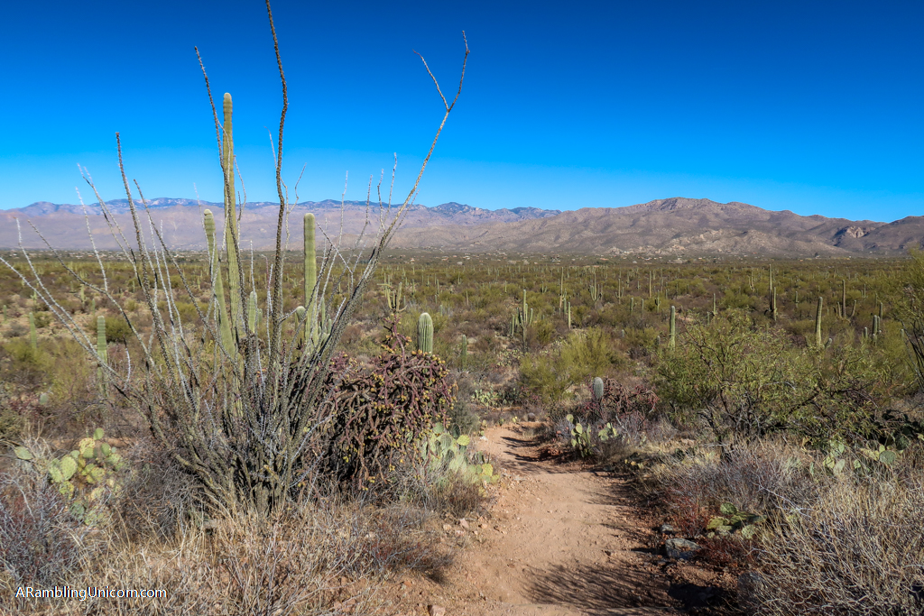
On our second day in Saguaro National Park, Daniel and I headed to the West District. This area boasts large stands of saguaro cacti creating a breathtaking saguaro forest. We stopped at the Red Hills Visitor Center to obtain our collectible National Park coins upon arrival and then headed into the park.
Similar to the eastern section, the West District also has a scenic loop road. The Bajada Loop Drive is a 6-mile graded dirt road that encircles the park’s most popular areas and provides access to hiking trails. While the road is accessible for low-clearance vehicles, we found it a little rough to navigate in our small RV. It was also hard to find parking at some of the more popular destinations due the the size of our vehicle (which is 21 feet long).
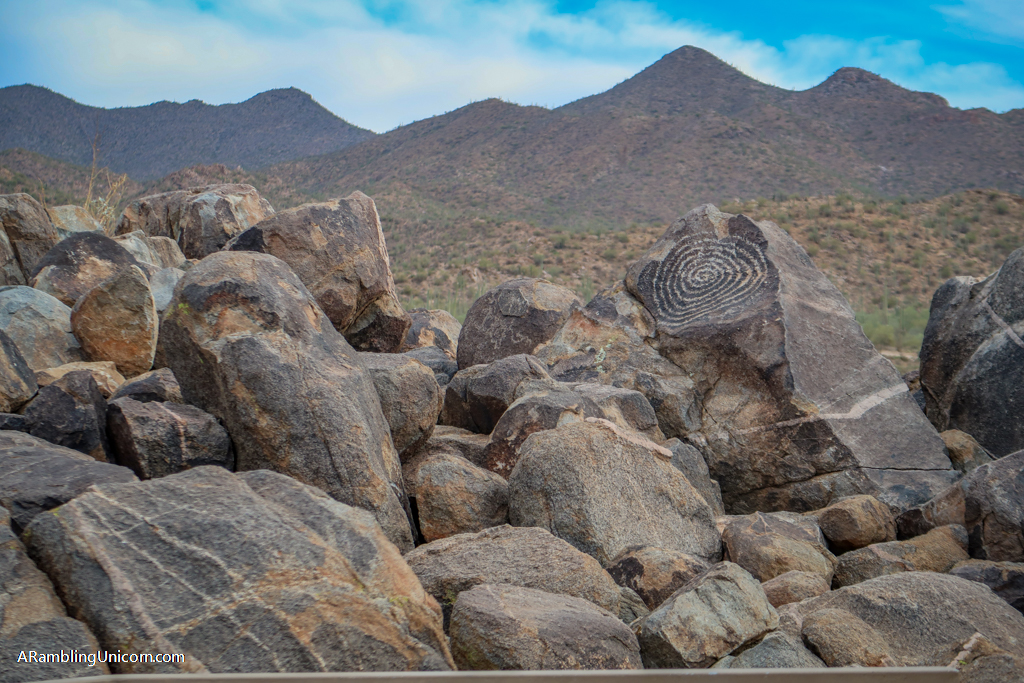
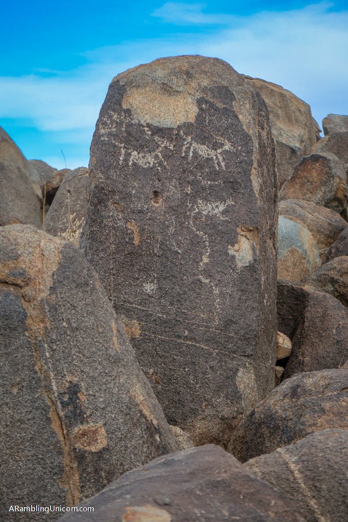
We did manage to find parking at the Signal Hill Picnic Area, however. Here we disembarked and hiked a short trail to check out the Signal Hill Petroglyphs. The site consists of over 200 prehistoric Native American petroglyphs that were created from between about 550 to 1550 years ago. While the hike up Signal Hill is short, there are quite a few steps to manage. Older folks or people with arthritic knees may wish to bring hiking poles for the trek.
Other popular destinations in Saguaro West include the Valley View Overlook Trail and the Desert Discovery Nature Trail. The Valley View Overlook Trail is an easy .8 mile jaunt featuring views of Avra Valley and Picacho Peak. The trailhead is accessed via Bajada Loop Drive. The Desert Discovery Nature Trail is a .4-mile wheelchair-accessible loop located near the visitor center.
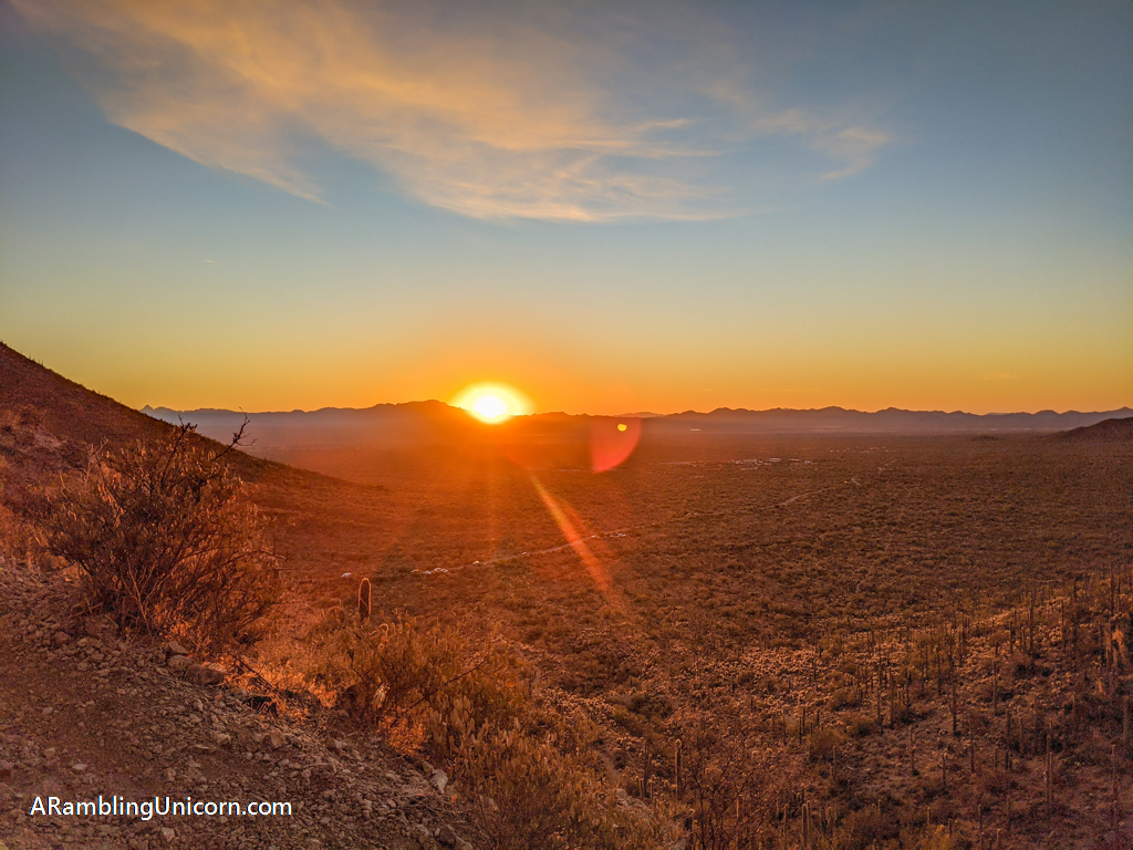
Daniel and I drove through Tucson Mountain Park on our way to Saguaro West and stopped at Gates Pass Overlook to marvel at the view. It was so gorgeous that we pulled over at the same spot on our return trip so we could watch the sunset. Other popular destinations near Saguaro National Park West include the Arizona-Sonora Desert Museum and Old Tucson (a Western-style theme park which is temporarily closed due to COVID-19).
Saguaro National Park Itinerary Day 3: Hiking in the Park
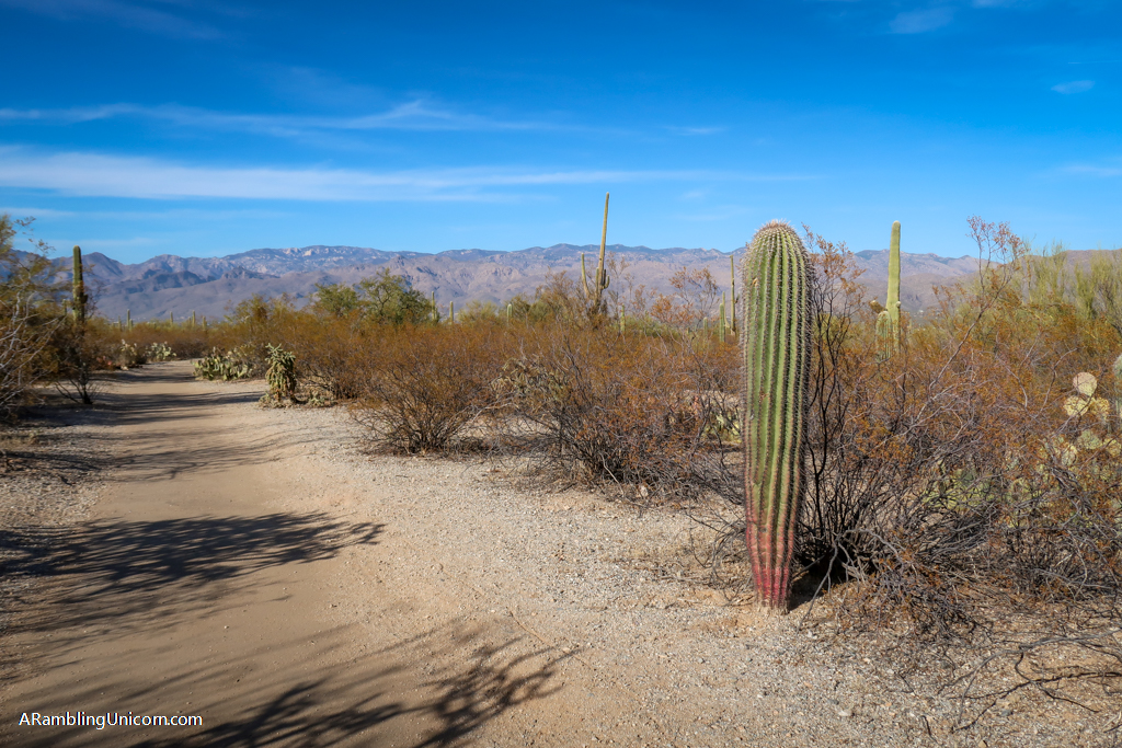
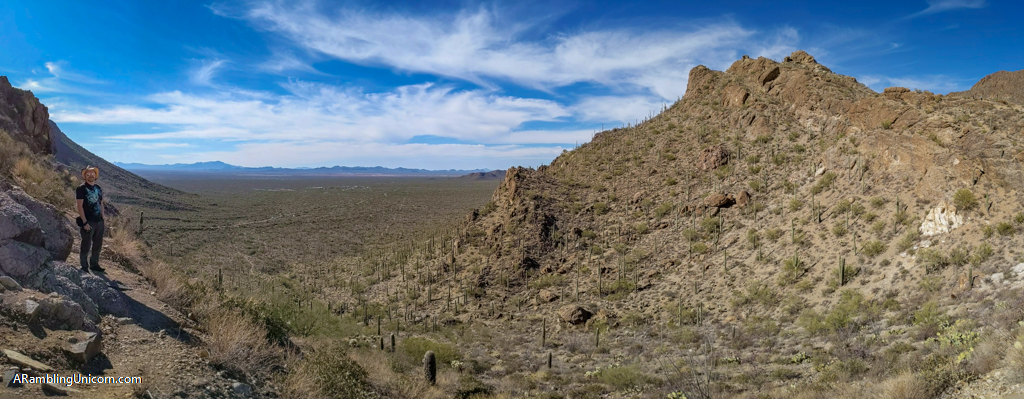
On our third day, I donned my hiking shoes and hit the trails. There are lots of great hikes to choose from depending on your ability and inclination. I was recovering from an illness during my visit so I picked the 5-mile Cactus Forest-Squeeze Pen-Pink Hill Loop Trail due to its easy elevation profile. Other popular hikes include the Bridal Wreath Falls Trail and the Wasson Peak Trail. More recommendations are available on the Saguaro National Park Service’s Hiking Trail Recommendations page.
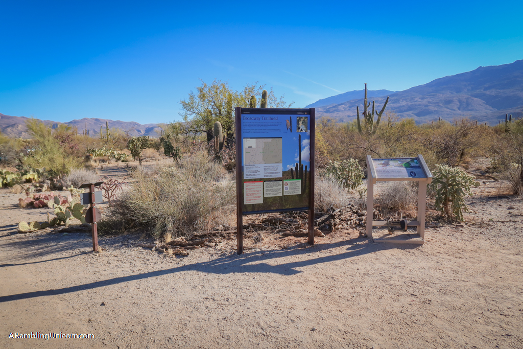
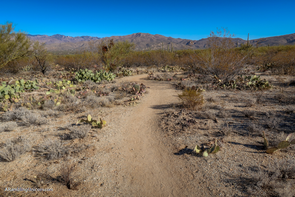
The Cactus Forest-Squeeze Pen-Pink Hill Loop Trail starts at the Broadway Trailhead which is located on the northwest corner of Saguaro National Park East. There are no bathrooms or facilities at this trailhead as it is in a more remote area of the park. Lots of trails criss-cross here so it is important to bring a map.
Pro tip: download the map onto your phone’s AllTrails app so it will be available even if you lose cell phone coverage. Make sure your phone is fully charged before starting out and consider bring an external battery. Put your electronics into a plastic baggie if rain is in the forecast.
The trail begins by heading east on Shantz Trail towards the Rincon Mountains. After about half a mile, I turned off of Shantz Trail and onto Pink Hill Trail. There is a short spur leading to the top of Pink Hill – it’s not much of a hill but it’s still worth the detour. There are many options for heading back to the trailhead at this point, but I followed Pink Hill Trail until turning south onto Squeeze Pen Trail. From there I turned north onto Loma Verde Trail and then west onto Cholla Trail until I reached the Cactus Forest Trail. Then it’s just a straight shot back to the Broadway Trailhead.
Pro tip: be sure to bring plenty of water and sun protection, wear sturdy footwear, pack the 10 essentials, and leave no trace of your visit behind.
More Resources and Information
The fee to enter Saguaro National Park is $25 per vehicle. This is good for seven days and includes both the East and West Districts. I recommend buying the America the Beautiful Interagency Pass, however, which costs $80. This allows entry to all National Parks for an entire year, as well as most federal lands (including National Forests, Bureau of Land Management and more).
- Saguaro National Park – Official National Park service web site
- Saguaro National Park Maps – National Park Service
- Arizona-Sonora Desert Museum – Official web site
- Best Trails in Saguaro National Park – AllTrails
- Tucson, AZ: Discovering the ancient saguaro cactus – Daniel’s blog post on The Wandering Hedonist
- Hiking Arizona’s Cactus Country: Includes Saguaro National Park, Organ Pipe Cactus National Monument, The Santa Catalina Mountains, And More by by Erik Molvar
- A FalconGuide to Saguaro National Park and the Santa Catalina Mountains by Bruce Grubbs
Where are we now?
Location: Saguaro National Park, Arizona
Dates visited: December 2020-January 2021
For more details on our Great America (Socially Distanced) Road Trip, see my previous posts:
- Days 169-185: Christmas in Tucson – Pandemic Style
- Days 156-158: Mars or Bust: Watching the SpaceX Starship Launch from South Padre Island
- Days 134-164: A Relaxing South Padre Island Vacation for What Ails You
- Days 129-133: Visiting San Antonio: The Alamo, River Walk and Mission San José
- Days 117-128: Keeping Austin Weird: Fun things to do in Austin
Like this blog post? Pin it!
Click on the image below to save it to your board on Pinterest.
Note: This post contains affiliate links, which means I may receive a commission if you click a link and purchase something. While clicking these links won’t cost you anything, they will help me to keep this site up and running!





I just love Arizona! I think the Tucson area is my favorite in the state. Went a few years back and we had such a good time. We had tons of good food, hikes and day trips. It even snowed when we were in one of the high area.
Thanks Ruth! It must have been amazing to see Tucson in the snow.
This looks most interesting and so unusual for me. I would love to spend some time there,
Thanks Alma! I hope you make it there someday. Saguaro National Park truly is a magical place.
Can’t wait to get there this year – thanks for the itinerary!
You’re welcome Hayley!
It’s amazing how big the Saguaro cacti can get! They definitely add a beauty to the desert landscape. I visited years ago when I was little but hopefully I’ll see them on my road Trip this summer. Thanks for the great tips!
It’s such a cool park. Hope you are able to visit on your road trip!
I’ve always loved landscape like this. I bet it was really hot hiking around the park though! This is definitely a place I would love to visit, but I wouldn’t be able to handle the heat for too long haha.
Actually it wasn’t too hot when we visited over the Christmas holidays this year. The weather was really pleasant. The middle of summer would be another issue though!
I’ve never even heard of this National Park, it’s definitely going on the list though. I really want to see those cacti, they are beautiful.
I highly recommend it! Hope you make it there someday
That sign! Great itinerary. Putting this on my to-visit list now!
I know! That sign cracked me up when I saw it in person. It is effective tho haha.
I had no idea that this park was split with Tucson sitting in the middle! It’s kind of interesting that they didnt decide to make them into two parks with totally different names!?
I love the look of the petroglyphs and hiking around those giant cacti looks sooo fun (if super hot!)
This park is certainly unique that way. It makes it a little difficult to see both halves in the same day (unless you get up really early lol).
It’s sounds like traveling between the two would be a waste of possible park time! It makes way more sense to give yourself complete days in each! 🙂
Love this National Park – it’s really underrated, but I love desert landscapes so I’m a little biased! I’ve only visited the west side.
I love deserts landscapes too! Thanks for sharing your experience.
I’ve always loved landscape like this. Looks like a great place for hiking.
Yes! It’s an an awesome place to explore hiking trails!
Thanks for writing such a detailed post. I am bookmarking it for my next visit.
It looks amazing. Some of those cactus are huge!