It’s no secret that I’m a little obsessed with long trails. From hiking the Wonderland Trail in 2016 to the Pacific Crest Trail in 2017, I’ve spent a fair amount of time on long-distance footpaths.
So when I learned that the Superior Hiking Trail passes right through Duluth, I was intrigued. Before long, I had downloaded all the maps for the trail and researched several possible sections to explore.
What is the Superior Hiking Trail?
The Superior Hiking Trail (SHT) is a 310-mile footpath along Lake Superior’s scenic North Shore. Running from the Minnesota-Wisconsin border to the Canadian border, the SHT is part of the much Ionger North Country National Scenic Trail. When completed, the North Country Trail will stretch all the way from North Dakota to Vermont.
While I’ve never heard of the SHT before, apparently the trail is well-known in the hiking community. In 2000, Backpacker Magazine named the SHT as one of the most scenic trails in the nation. Additionally, professional backpacker Andrew Skurka included the SHT as one of his top ten favorite hikes in National Geographic.
Planning my Hike
I was eager to explore the Superior Hiking Trail and originally planned a 3-day section hike. But then I had second thoughts. I’ve been feeling really fatigued lately, a souvenir from my bout with COVID earlier this year. And the weather forecast wasn’t that great either.
I wasn’t too psyched about slogging through thunder and rain for three days so I waited for the weather to clear. By then, I only had time for a day hike. That was probably for the best, anyway, given how tired I’ve been feeling lately.
Before setting out, I downloaded the Superior Hiking Trail map series on the Avenza Maps app. This helped me plan my route.
My Experience on the Superior Hiking Trail
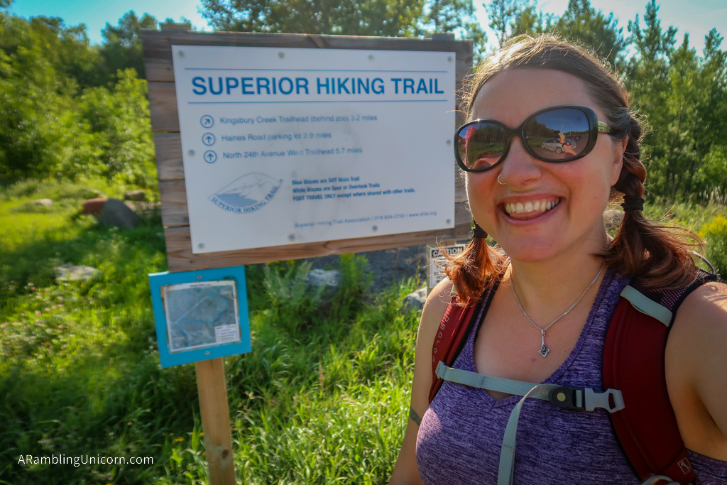
To start the hike, I began at Skyline Trailhead. Lucky for me, I was staying less than one mile from the trailhead so it was an easy walk. There’s a parking lot here, too, for those who arrive by car.
From here, I headed north – or I tried to anyway. I had a little trouble finding the correct path at first. Duluth has a very well-developed network of mountain bike trails and I accidentally started along a bike path instead.
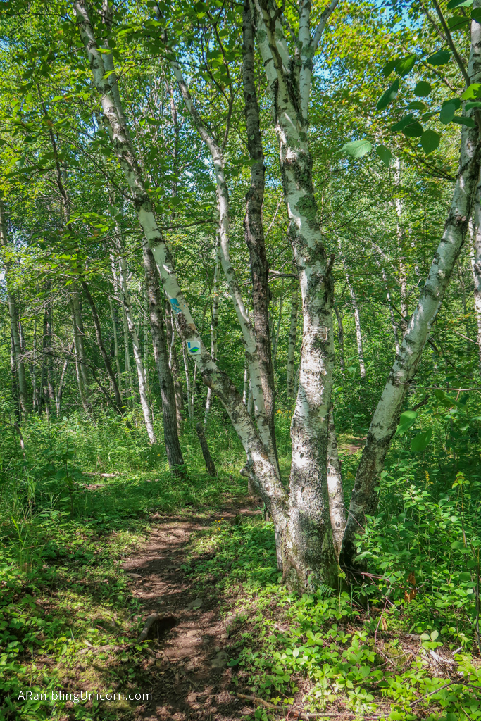
Thanks to my online maps, I figured out my mistake fairly quickly – and was soon on the correct trail. This section of trail begins by winding through a deciduous forest in Brewer Park. I was delighted by the prevalence of birch trees – we don’t see these very often in the Pacific Northwest.
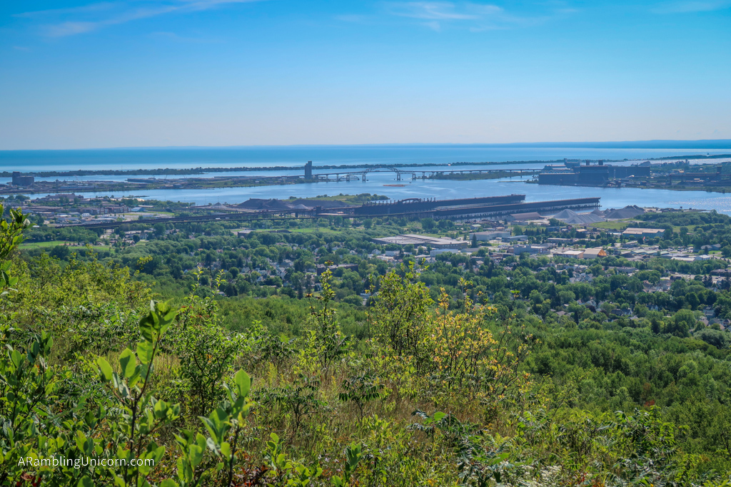
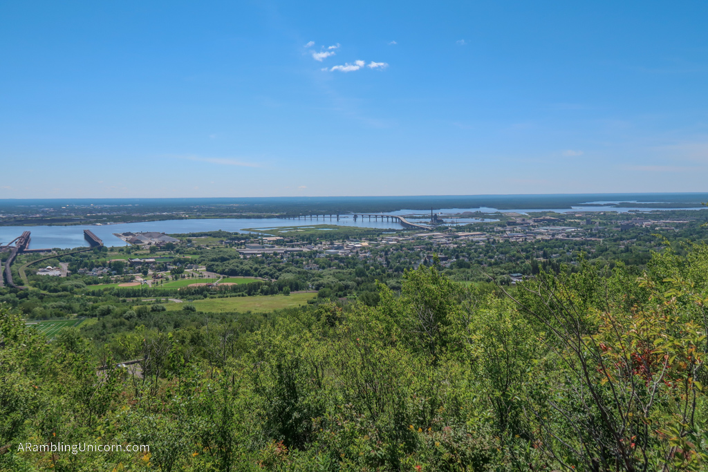
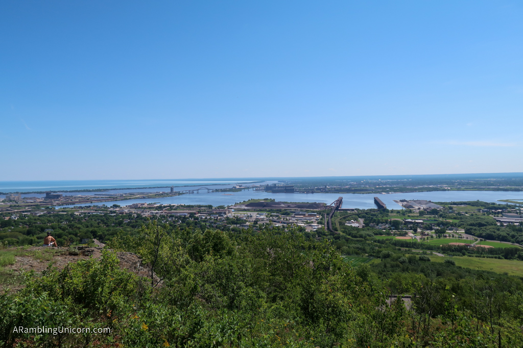
Eventually the trail broke out of the trees and I was treated to a lovely view of Duluth and the St. Louis River estuary. The trail plunged back into the forest and continued north, with the occasional viewpoint of Duluth every once in a while. The view changed at each vista as I passed various bridges far below.
Richard I. Bong Memorial Bridge
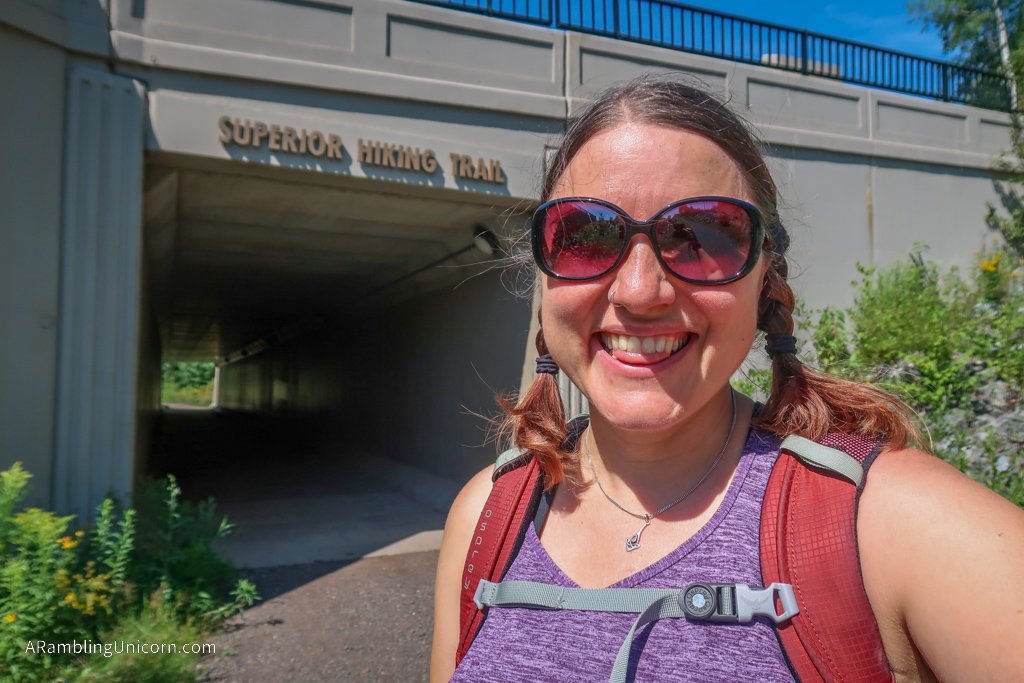
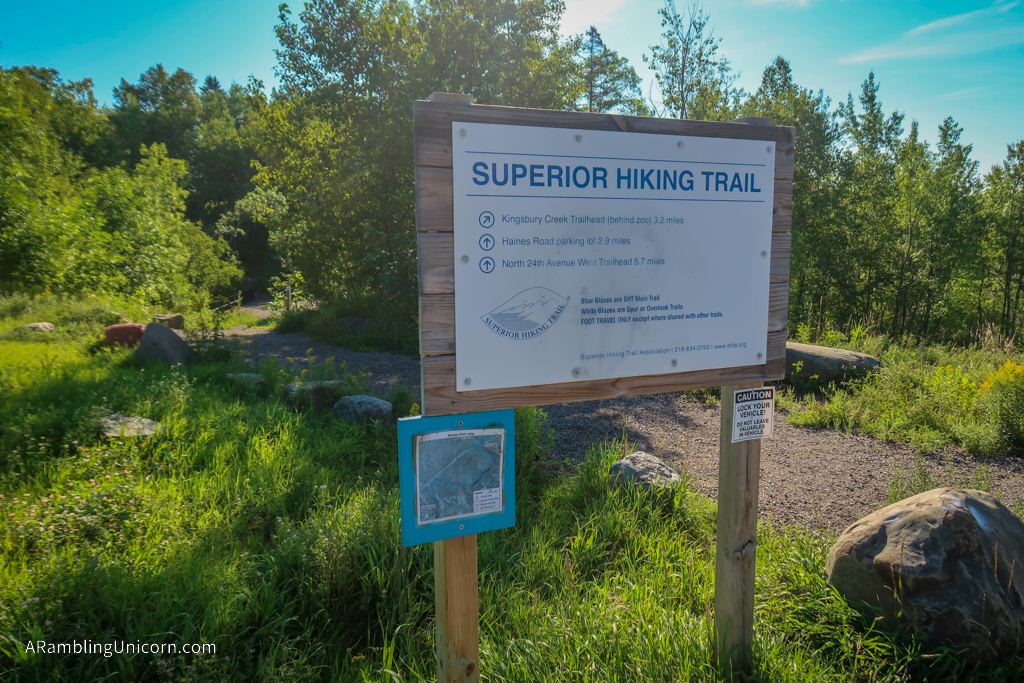
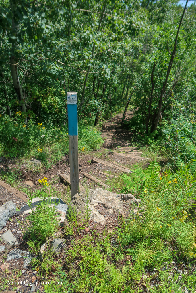
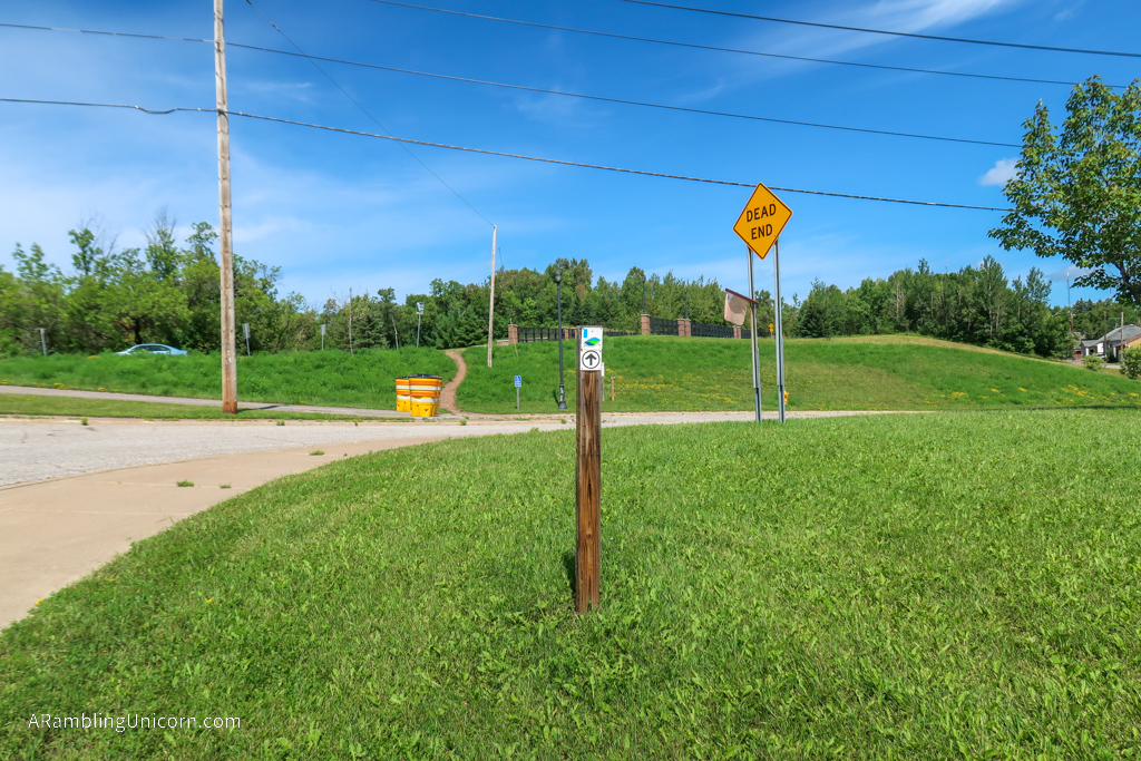
After exiting Brewer Park, the trail crossed under Haines Road and continued through another forested section. There were even more mountain bike trails here than in Brewer Park. I was thankful for the excellent signage which gave advanced warning at each intersection. The signs also clearly marked the SHT as hiker-only so that bikers didn’t accidentally end up on it.
After hiking for 4.5 miles, the trail broke out of the forest. Here, I followed along the side of a city street for a few blocks before entering a greenbelt north of Lincoln Park. The trail was decidedly less wild here but I didn’t mind.
I was starting to feel really fatigued at this point which was frustrating. The trail has a fairly easy elevation profile and isn’t terribly challenging. But I just wasn’t going very fast today. This meant that I was behind schedule to meet my ride at Ewer Park.
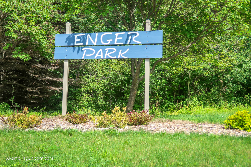
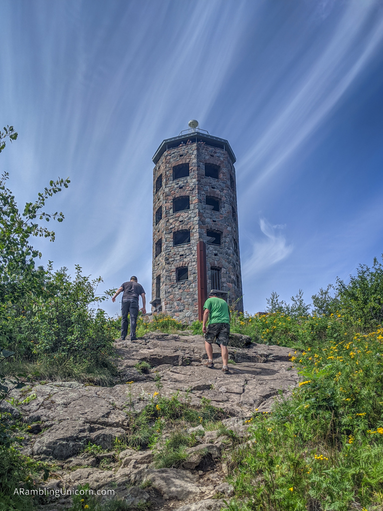
So I put in my headphones and tried to pick up the pace. I arrived at Ewer Park around 2:00 pm where I found Daniel and Evan waiting for me. It’s a pretty cool park with amazing views of the city. Not a bad way to end my hike for the day.
I really enjoyed my brief experience on the SHT and regret not being able to explore it more fully – especially the more remote areas north of the city. The SHT is now firmly on my short list of long trails to revisit in the future.
Where am I now?
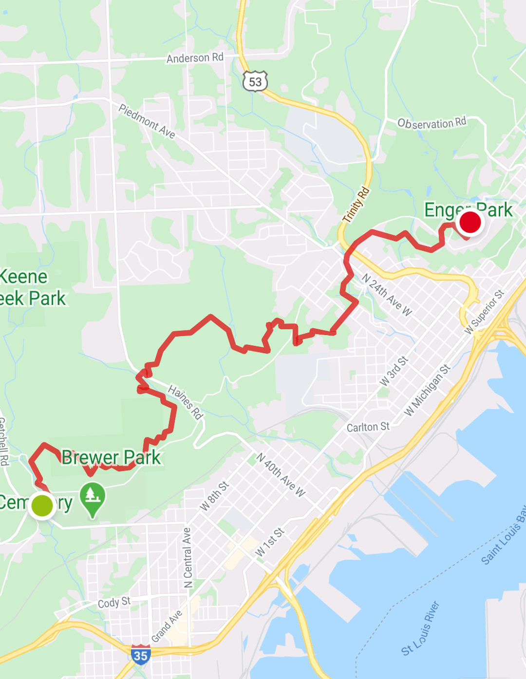
Map of my day hike along the Superior Hiking Trail – starting at Skyline Trailhead and ending at Enger Tower
Date: August 15, 2020
Great American Road Trip Status: Day 41
Starting Location: Skyline Trailhead – Duluth, MN
Ending Location: Enger Tower – Duluth, MN
SHT Miles Hiked: 7 miles
For more details on our Great America (Socially Distanced) Road Trip, see my previous posts:
















0 Comments