Pictured Rocks National Lakeshore extends for 42 miles along Lake Superior’s rugged coastline in Michigan’s Upper Peninsula. While it’s a gorgeous place to visit any time of year, the autumn is particularly beautiful. The Pictured Rocks fall colors are absolutely stunning.
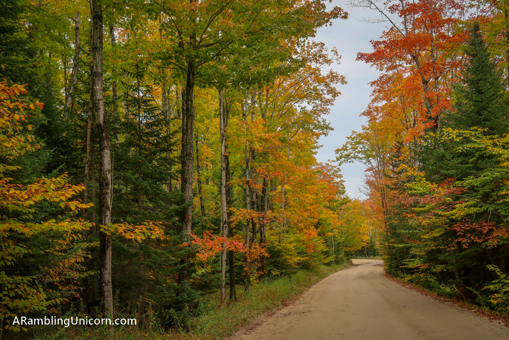
My husband Daniel and I arrived in Pictured Rocks during our Great America socially distant road trip just as the trees were beginning to change color. We were treated to a riot of brilliant reds, oranges and yellows lining the roadways as we drove to the park.
Table of Contents
About Pictured Rocks National Lakeshore
America’s first National Lakeshore, Pictured Rocks was established in 1966 to preserve 42 miles of shoreline in Michigan’s Upper Peninsula. This rugged section of coastline is located between Munising and Grand Marais on the southern shore of Lake Superior and is one of the best places to visit in Michigan.
Visitors Centers are located in both towns for those wanting more information about the visiting the park (although as of May 2021, they are both closed).
Pictured Rocks gets its name from the 15 miles of colorful sandstone cliffs along its shoreline. One of the best ways to see the rugged coastline is by boat. Miles of hiking trails are also available along the coastline, such as the North Country Trail which is among the best hiking in Michigan.
Driving scenic Country Road H-58 from Munising to Grand Marais is another great way to see the park. The road does not follow the coastline the entire way but it does stop at some of the post popular spots and along some pretty beaches.
Since we visited Pictured Rocks during the pandemic in 2020, we chose to see the park by car so we could keep our distance from the other visitors.
There is no fee to enter Pictured Rocks National Lakeshore. For more information and current park conditions, refer to the official Pictured Rocks National Lakeshore website.
Best Time to Visit for Pictured Rocks Fall Colors
The best time to visit Pictured Rocks National Lakeshore to see the fall colors is the last couple weeks of September or the first couple weeks of October. This can vary from year to year, depending on the weather and other conditions.
When we visited Pictured Rocks National Lakeshore in late September 2020, the colors were just beginning to turn. While many of the trees were still green, just enough were turning colors to give us a pretty spectacular show. It would have been even better if we had visited a week or two later.
That being said, weather is unpredictable that time of year. We planned to spend three days exploring dramatic cliffs, photographing scenic waterfalls and meandering along wooded trails. Well, mother nature had other plans for us. Since there was heavy rain forecast for most of our trip, we packed as much as we possibly could into our first day there.
Lucky for us, the weather held out on that day and we were treated to fabulous autumn weather as we drove all over the park to admire the Pictured Rocks fall colors. But it poured the rest of the time.
Miners Castle
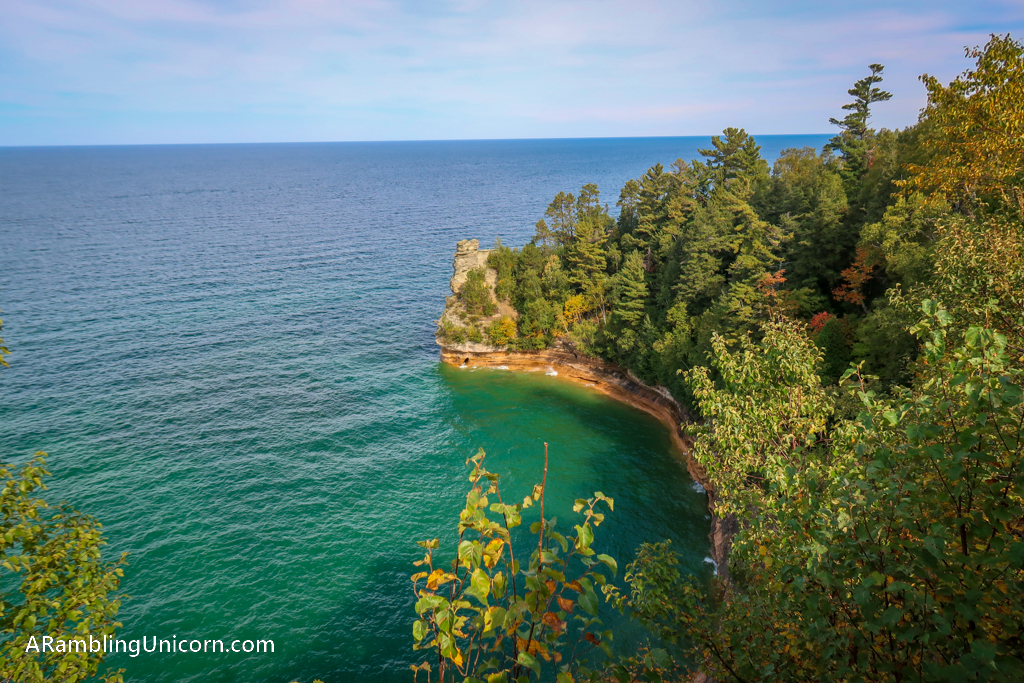
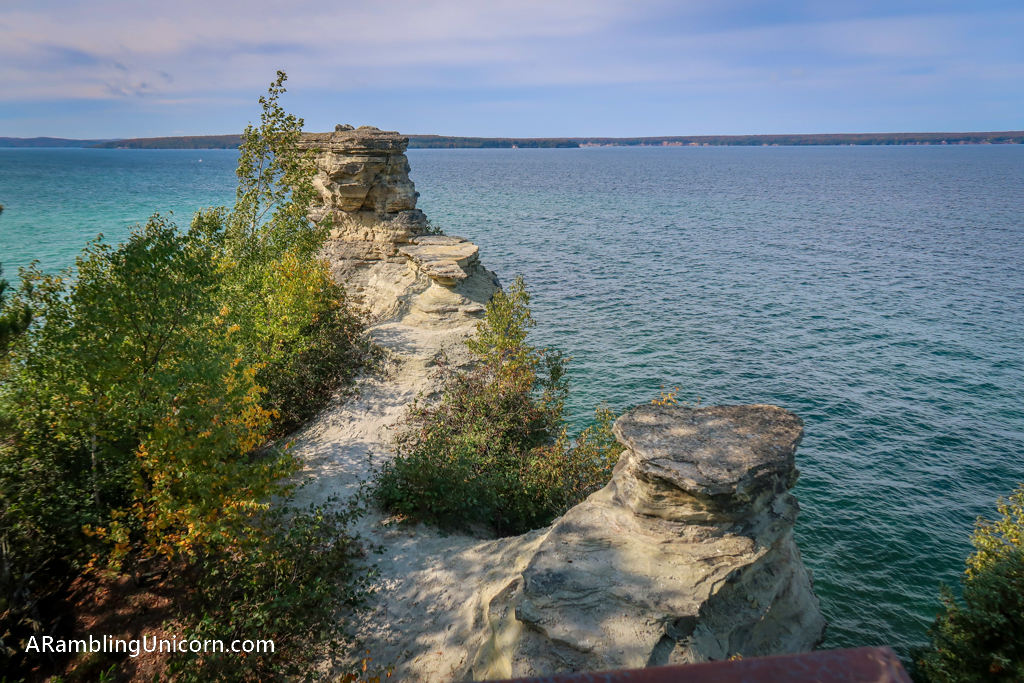
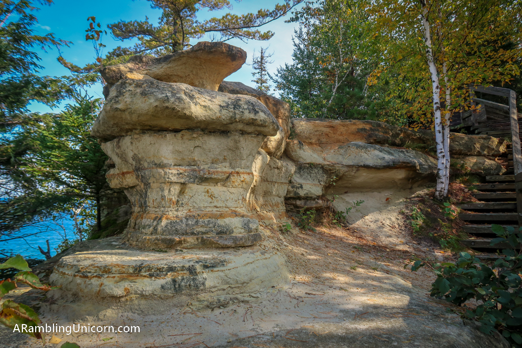
We started our adventure at Miner’s Castle, which is the most popular cliff at Pictured Rocks. The cliff was named by a group of explorers in the 1770’s who were looking for minerals in the area. While no minerals were ever found, the name “miners” has stuck.
Miners Castle is an easy 16-mile drive from the city of Munising along paved roads. Two scenic overlooks provide excellent views of the sandstone formation.
Miners Castle Beach
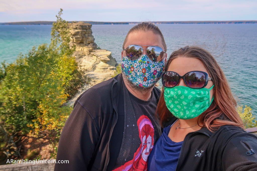
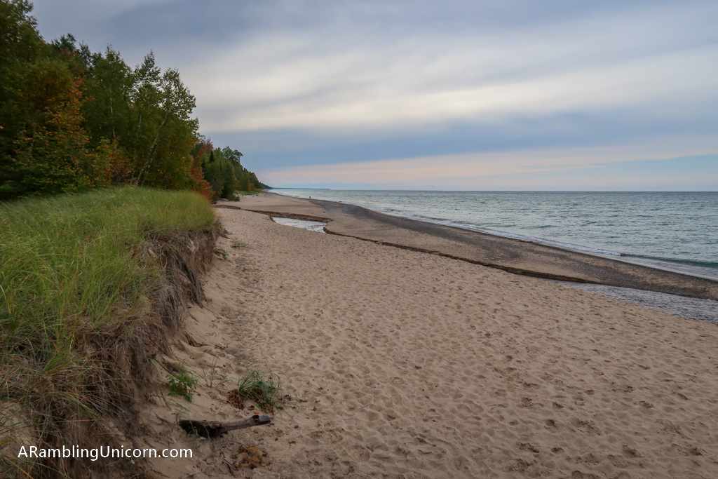
Daniel and I didn’t stay long at Miners Castle due to the crowds. It was almost lunchtime so we headed to Miners Castle Beach which was just down the road. The beach has a nice picnic area and we planned to eat lunch there.
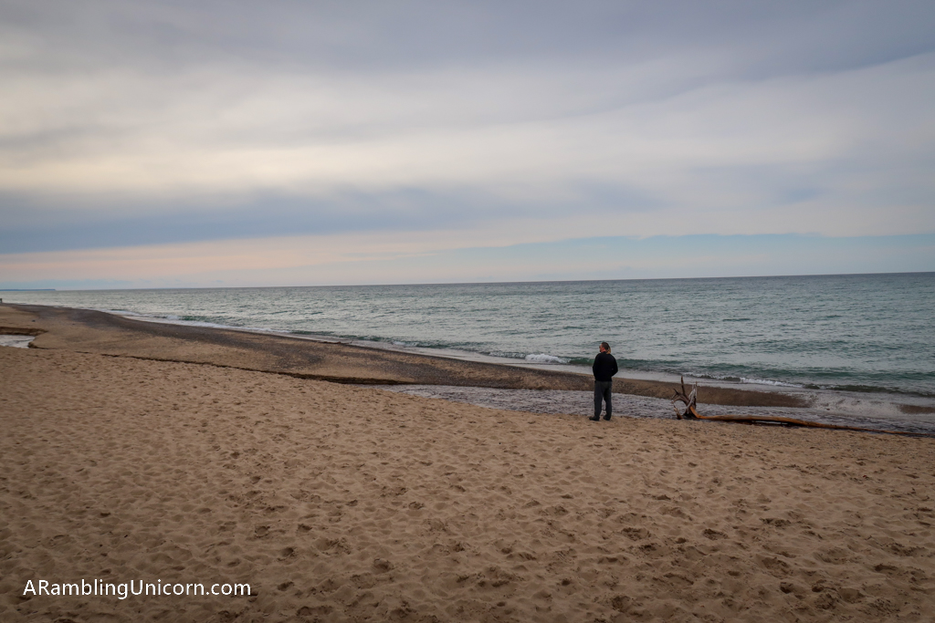
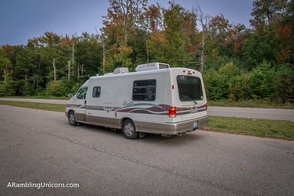
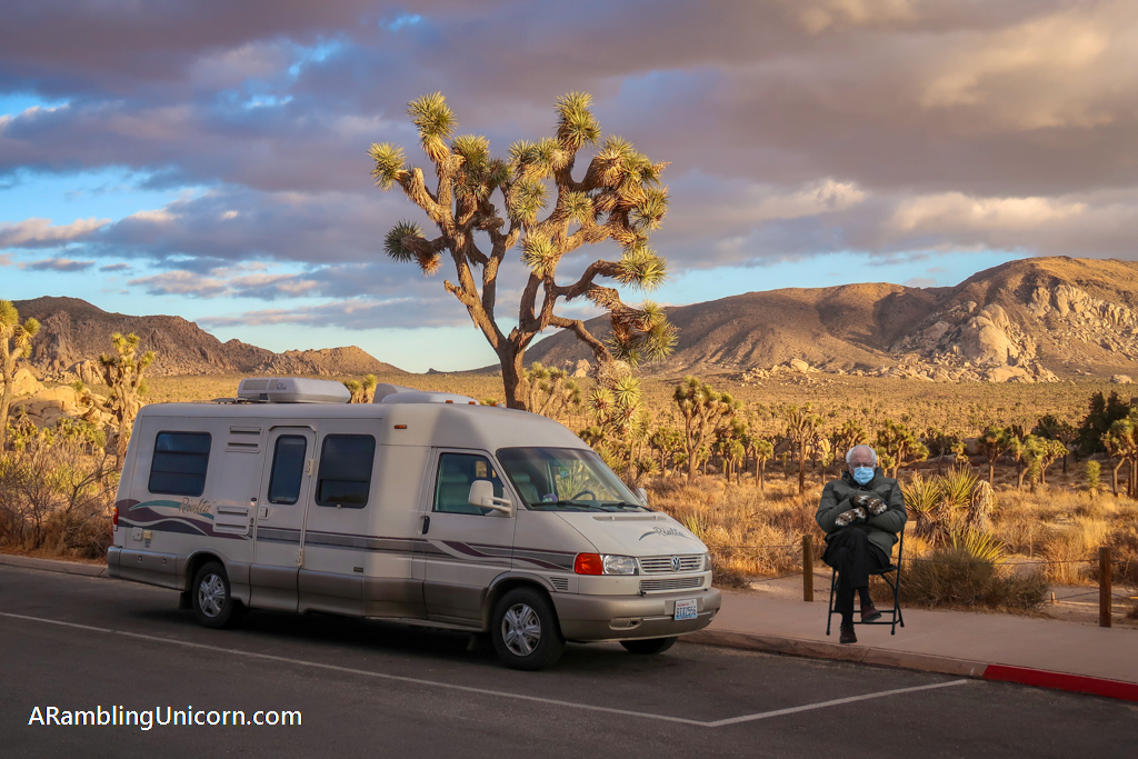
The beach was lovely and there were a lot fewer people there than were at Miners Castle. We hadn’t realized that the road wasn’t fully paved, however. After all the money we just spent on motorhome repairs, we have resolved to keep our VW Rialta motorhome Appa on paved roads as much as possible. Luckily the unpaved portion only lasted about one mile and it was in fairly good condition.
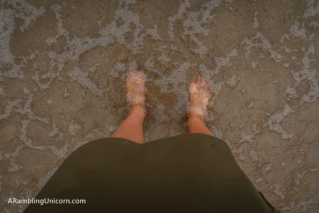
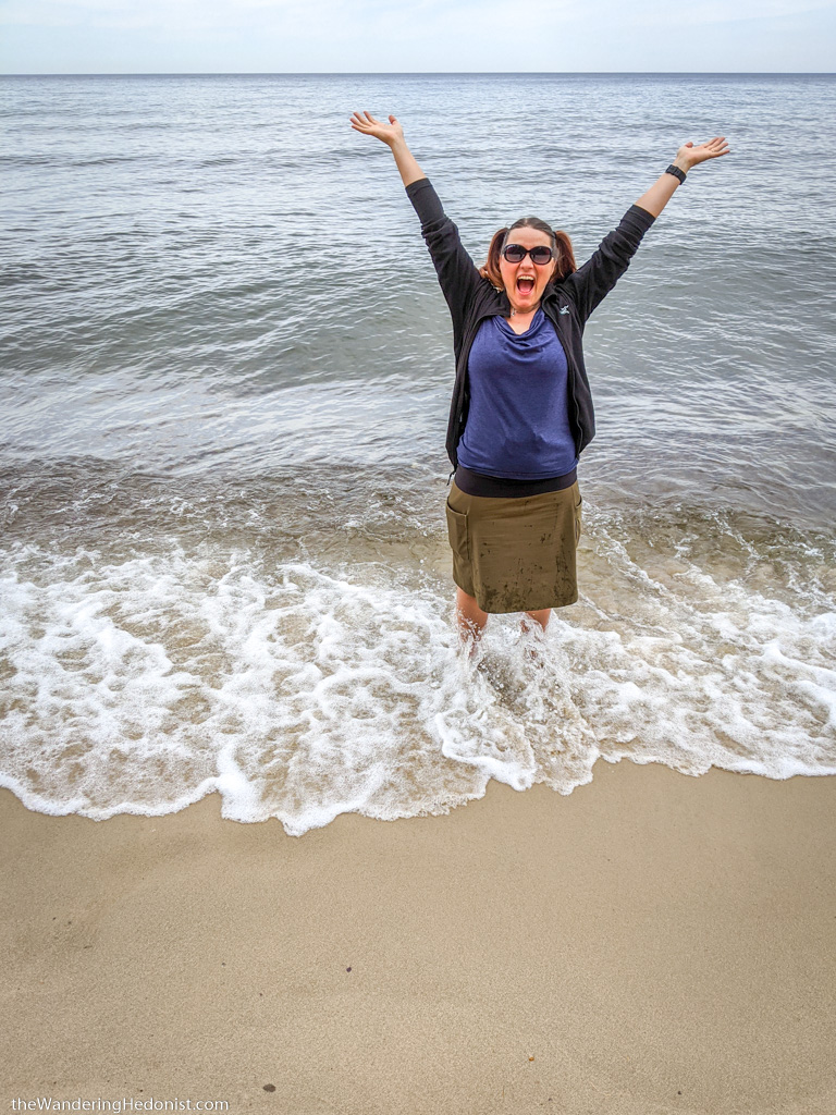
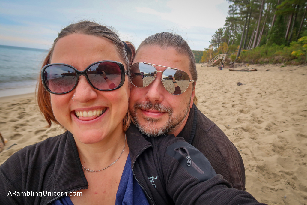
Lake Superior! I’ve already put my feet in this Great Lake when we visited Duluth but I figured I may as well go for it again.
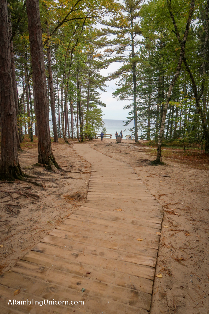
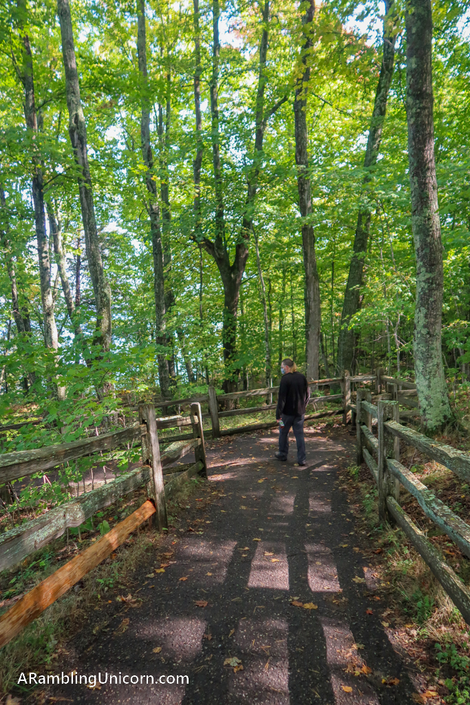
Trail to Miners Beach from the parking area. There are nice picnic spots long this pathway in the trees.
Miners Falls Trail
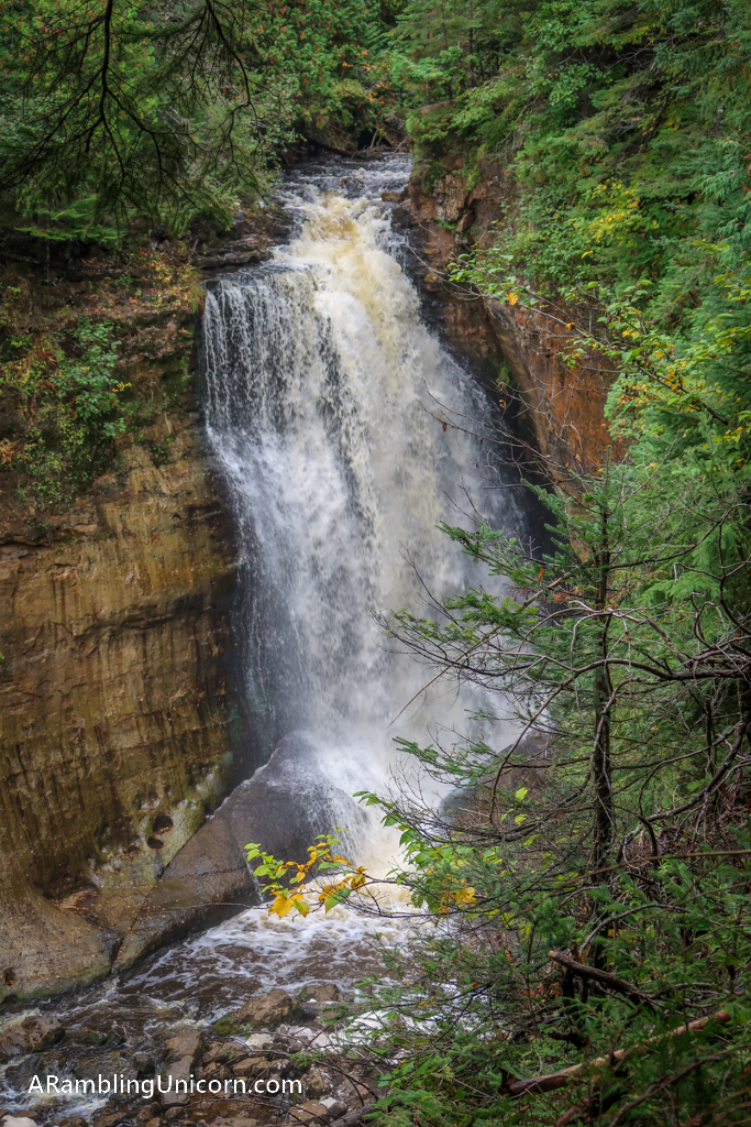
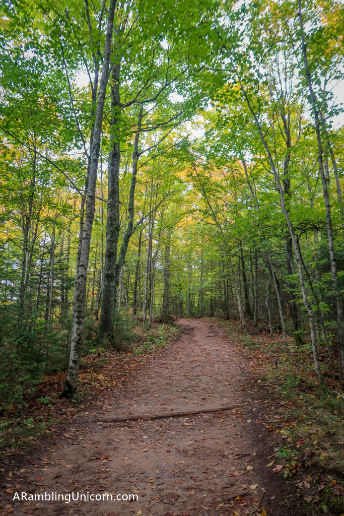
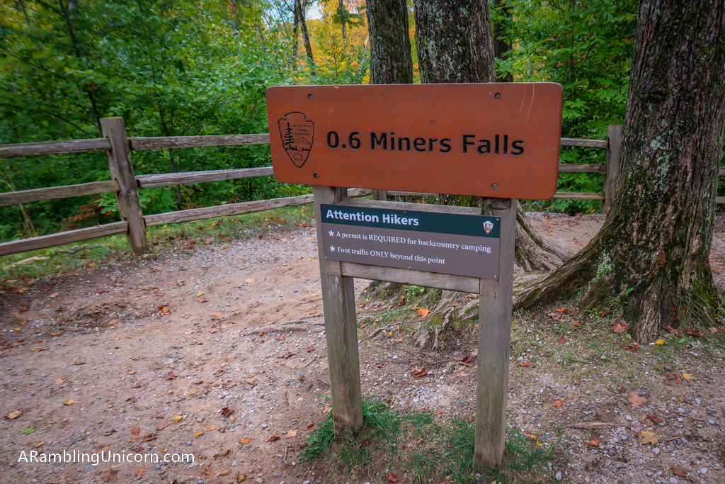
We finished up our tour of the Miners Castle area with a quick visit to Miners Falls. The trail to the falls is a pleasant .6 mile jaunt through the woods. At the end of the trail, stairs lead to two different viewing platforms. It was pretty crowded during our visit however. I recommend going on a weekday to avoid the crowds.
Superior Overlook
Daniel and I spent the majority of the day driving from one end of the park to the other along Highway 58. It’s about an hour’s drive and at this time of year the drive is incredible. This is where we saw the best fall foliage. I didn’t get any photos of this section of road as I was driving and there weren’t many places to safely pull over.
Eventually, we stopped at the Superior Overlook to stretch our legs. This overlook also provides beach access and is much more remote than Miners Beach.
Log Slide
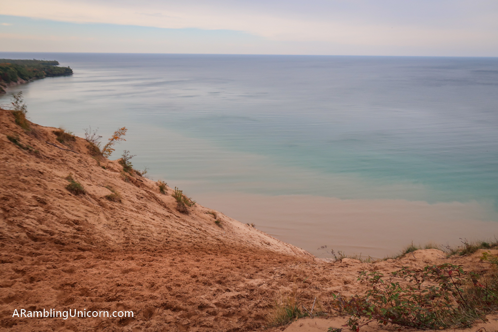
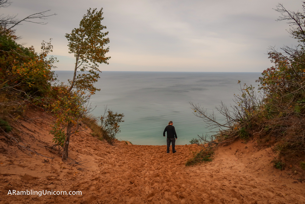
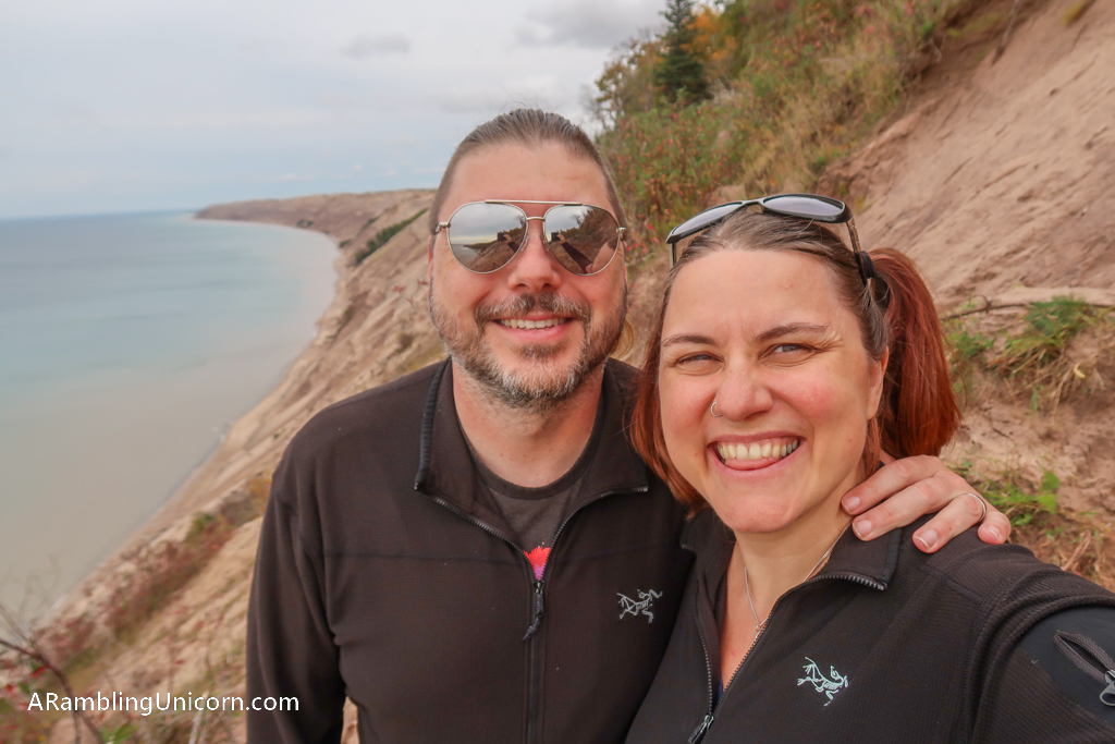
We ended our day at the Log Slide Overlook at the eastern end of the park. The Log Slide is a sandy dropoff from a ridge 300′ above Lake Superior down the side of a cliff. Lumberjacks used the log slide in the late 1800s and early 1900s to slide whole tree trunks to barges waiting down below.
These days, adventurous visitors can attempt to descend the slide themselves. Its not for the faint of heart, however. The slide is 500′ long (300′ vertical feet) and apparently people have to get rescued from time to time. It only takes minutes to reach the bottom but can take 1-2 hours to climb back up again.
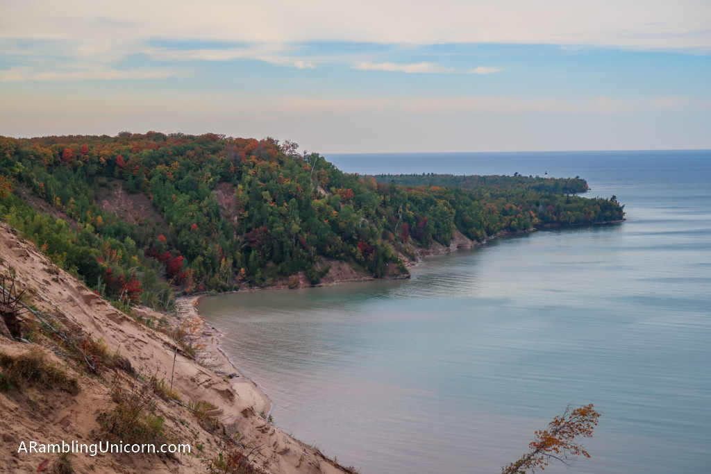
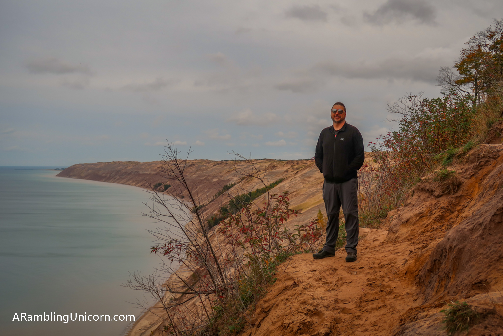
Daniel and I had no interest in injuring ourselves on the log slide. We ambled along the cliffs above the slide instead. The views were incredible.
Where are we now?
Date: September 27, 2020
Great American Road Trip Status: Day 84
Location: Munising / Pictured Rocks KOA
Miles Traveled: 98.3
Total Trip Mileage: 5451.2
For more details on our Great America (Socially Distanced) Road Trip, see my previous posts:




0 Comments