Distance: 7.6 km/4.7 miles
Elevation gain: 711 meters/2332 feet
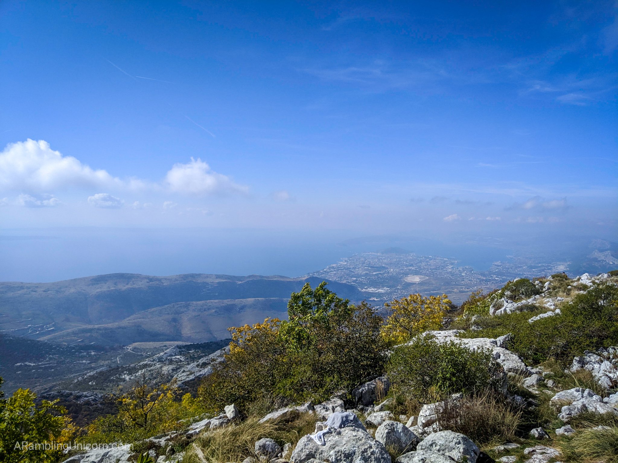
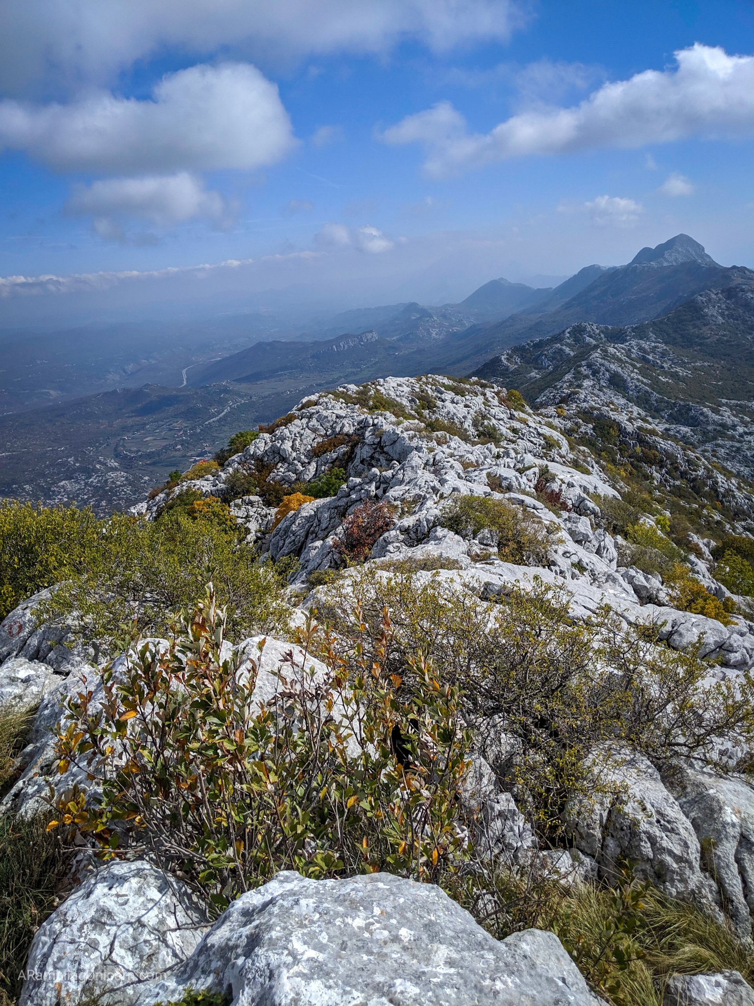
I sat at a makeshift picnic table, eating a sandwich and marvelling at the view. The Dalmatian coastline stretched out before me and the Adriatic Sea shimmered in the distance. The town of Split, 20 kilometers away, was clearly visible down below. Behind me, I could see far off mountain ranges which I suspected were in Bosnia and Herzegovina. Getting up here had been difficult, but it was worth it.
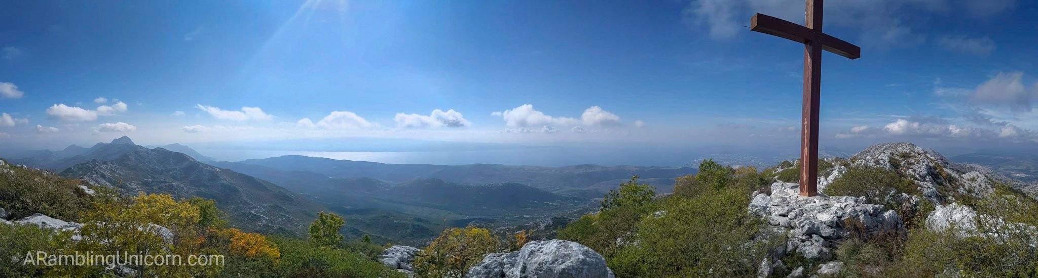
The view from Peak Veliki Kabal on Mount Mosor.
I started planning this hike two days ago. After a few weeks of travelling, I was ready to leave the bustle of city life behind and go for a hike. I’d only been in Croatia for a couple of days and didn’t have a clue where to hike or how to get there. But the mountains that flanked the city of Split were calling my name. I’d find a way.
I did a little research and soon learned about Mount Mosor. A member of the Dinaric Alps mountain range, Mosor is located only 45 minutes from Split and is accessible by local bus. It is a popular hike due to its proximity to the city as well as the fact that it has a mountain hut which serves hearty, inexpensive food to hikers. Sounds good to me!
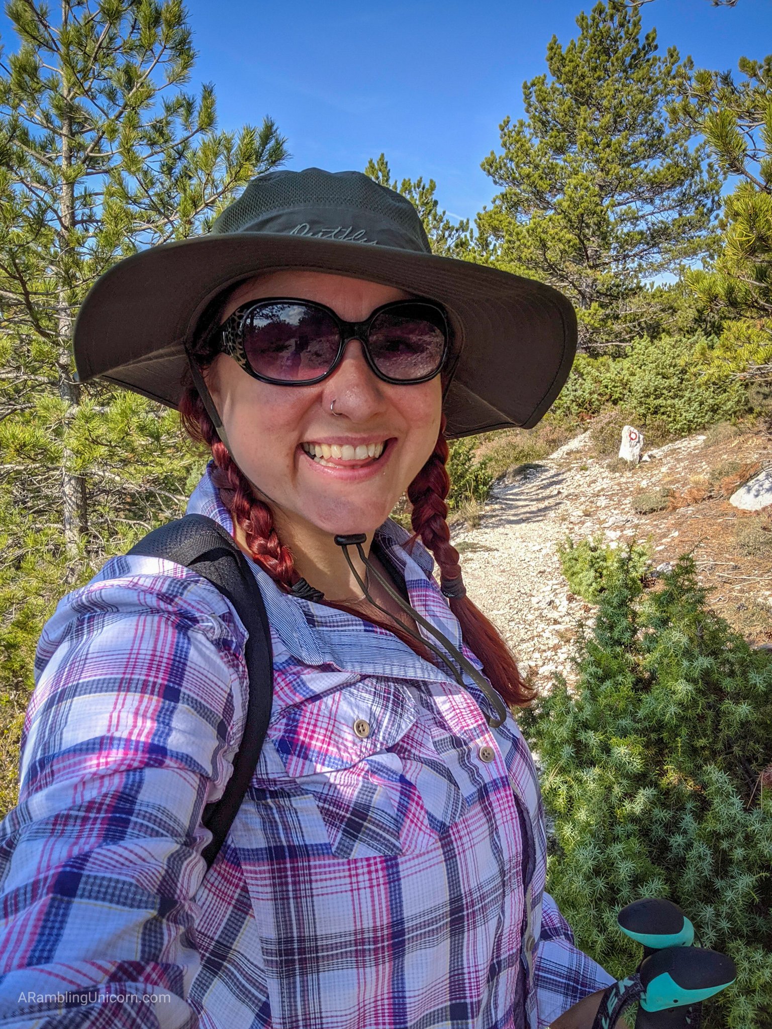
This unicorn is ready to ramble!
Then came the hard part: do I attempt this hike alone? Daniel couldn’t join me as he was still recovering from a foot injury. I’m an experienced hiker and I hike alone all the time in the United States. But I’ve never hiked in Croatia before and I don’t speak Croatian. I’d feel a lot more comfortable doing this hike with a buddy.
I spent a considerable amount of effort looking for a hiking companion with no success. But my efforts weren’t entirely wasted – I did meet a hiking enthusiast that I ended up connecting with later. Stay tuned for more details on that in a future post.
So I decided to go for it anyway. From what I could tell, Mount Mosor is a fairly popular hike and I would not be alone – especially on a weekend. I went to the local outdoors store, Iglu Å port, and bought a paper map of the Mosor mountain range. I asked the store’s employee for advice on a good hiking app so I could track my route with GPS. She recommended the app “OsmAnd” and also told me to watch out for poisonous snakes hanging from the trees. Eeps.
When I boarded the bus, a woman in the front seat guessed that I was on my way to hike Mount Mosor and immediately befriended me. She helped me to communicate with the bus driver and offered to help me find the trailhead. She was accompanied by her 7-year-old son and they were on their way to the mountain hut to have lunch.
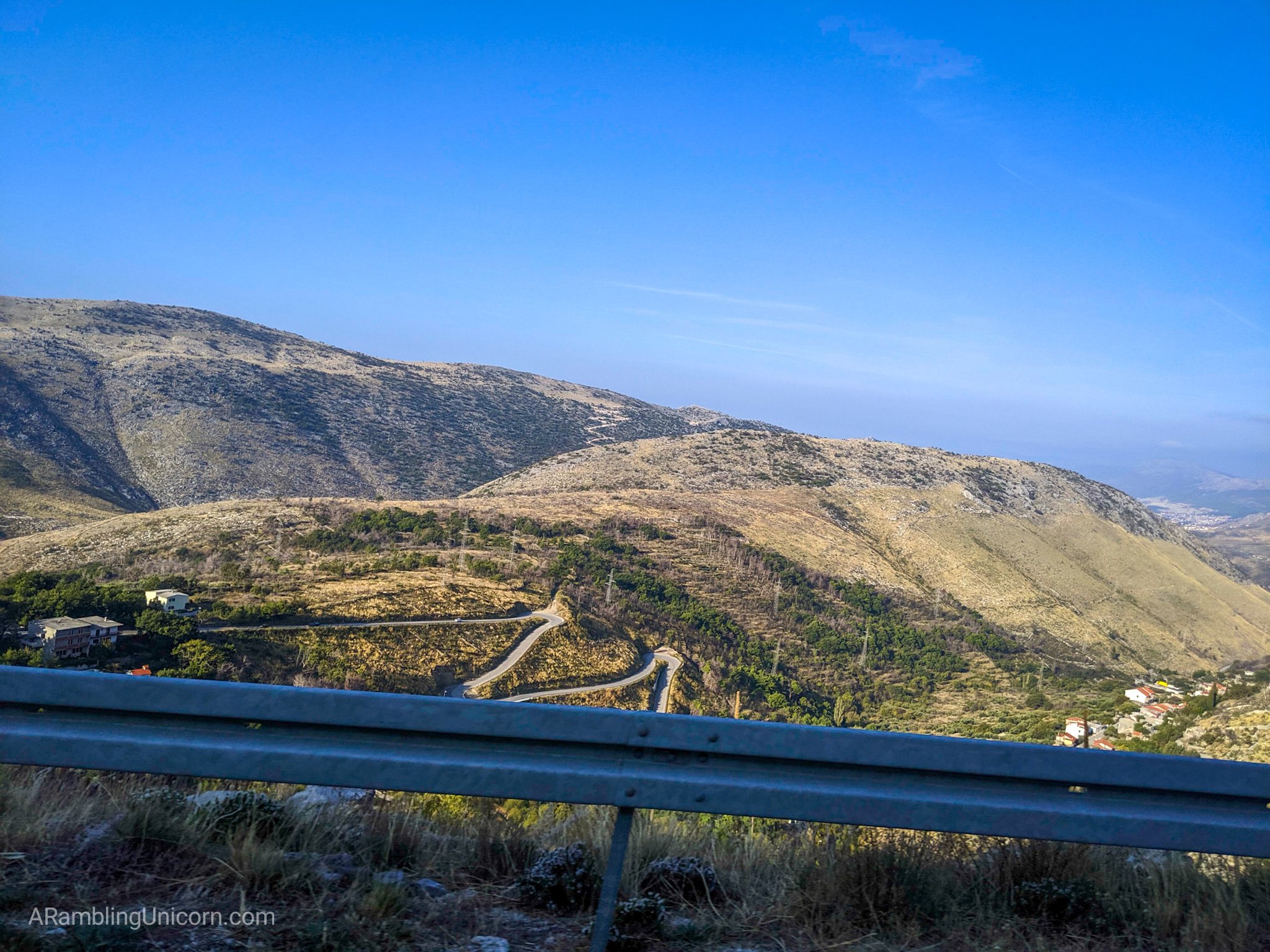
The view out the bus window of the curvy road to Gornje Sitno.
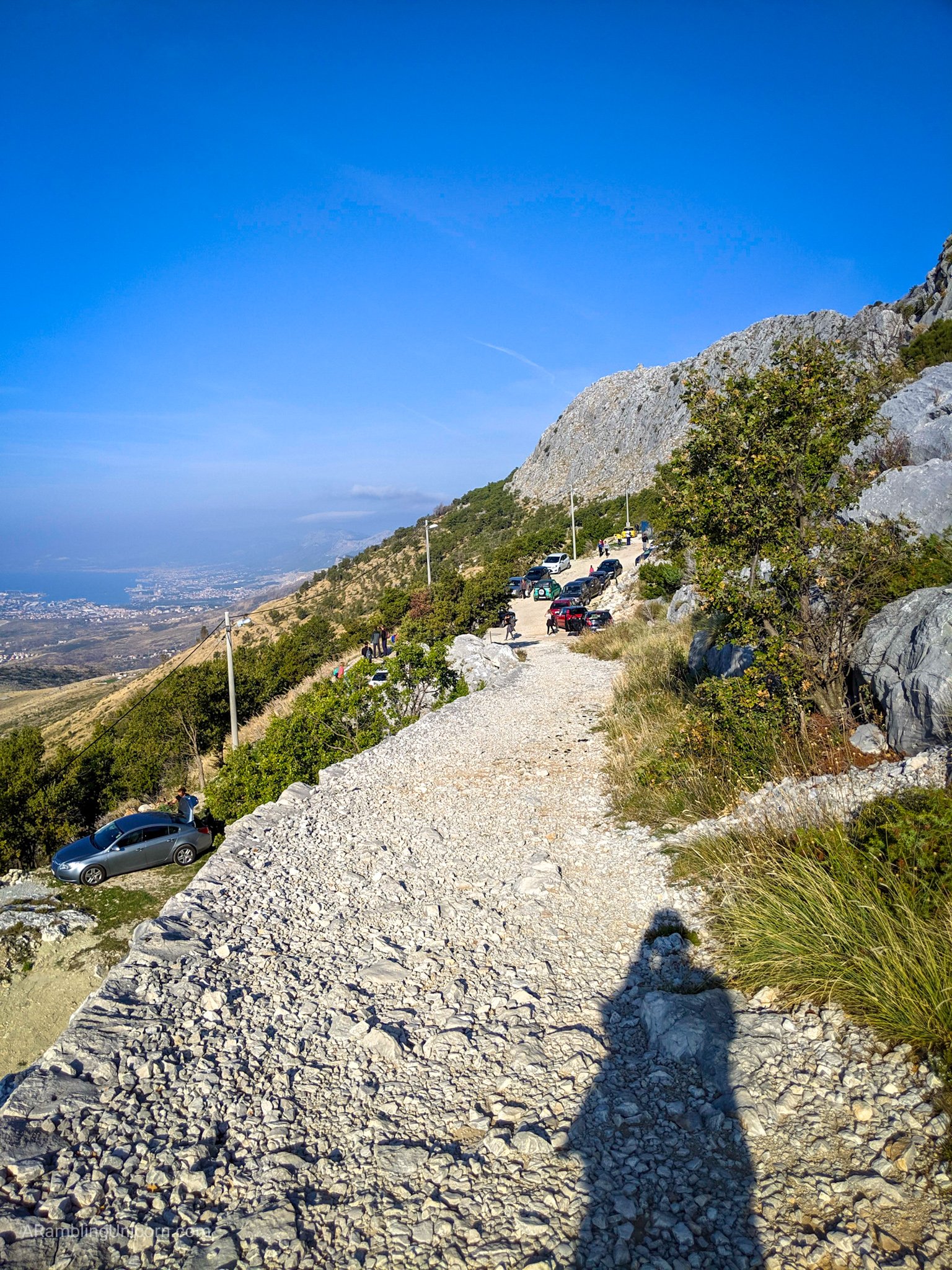
The parking lot for Mount Moser.
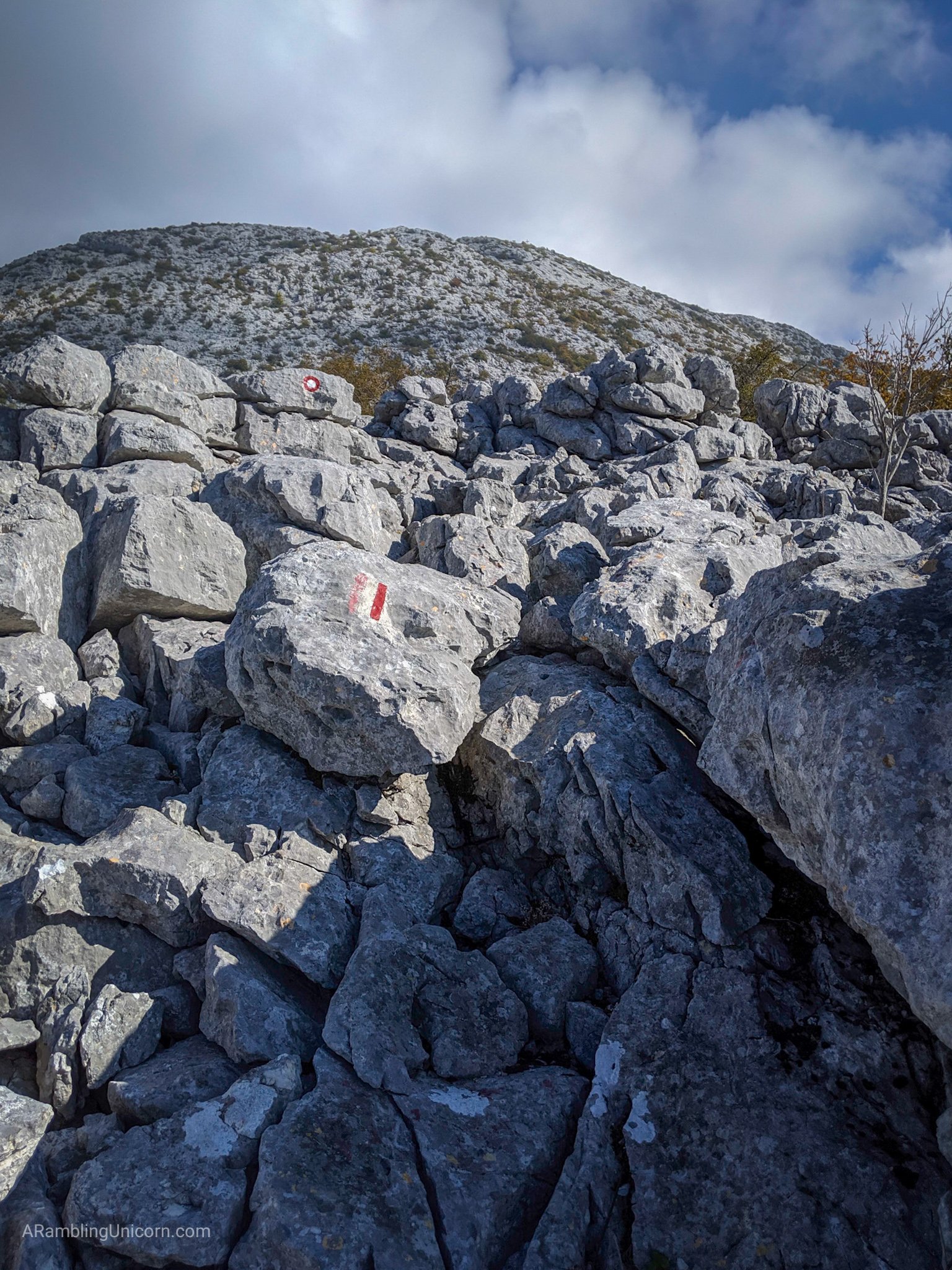
And that is how I found myself hiking to the Mount Moser mountain hut, called Planinarski dom Umberto Girometta or “Pl. dom” for short, with a local Croatian hiker and her energetic son. The way is very clearly marked with red circles or lines painted on rocks to mark the path. There are several trails to the hut, and we branched off of the main trail to clamber up a steeper, shorter path to our destination.
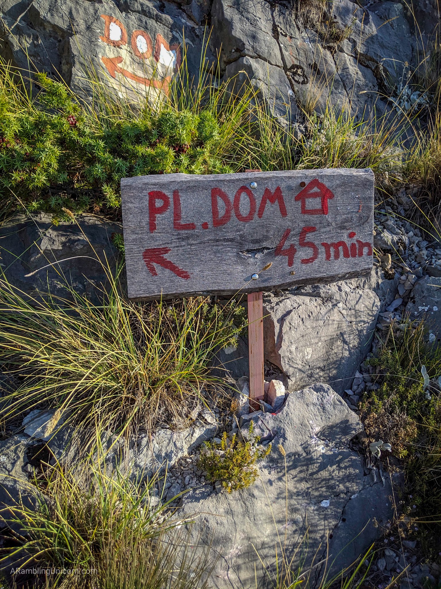
Taking the shorter trail to the Umberto Girometta Mountain Hut (Pl. dom).

Hiking to the Umberto Girometta Mountain Hit (Pl. dom).
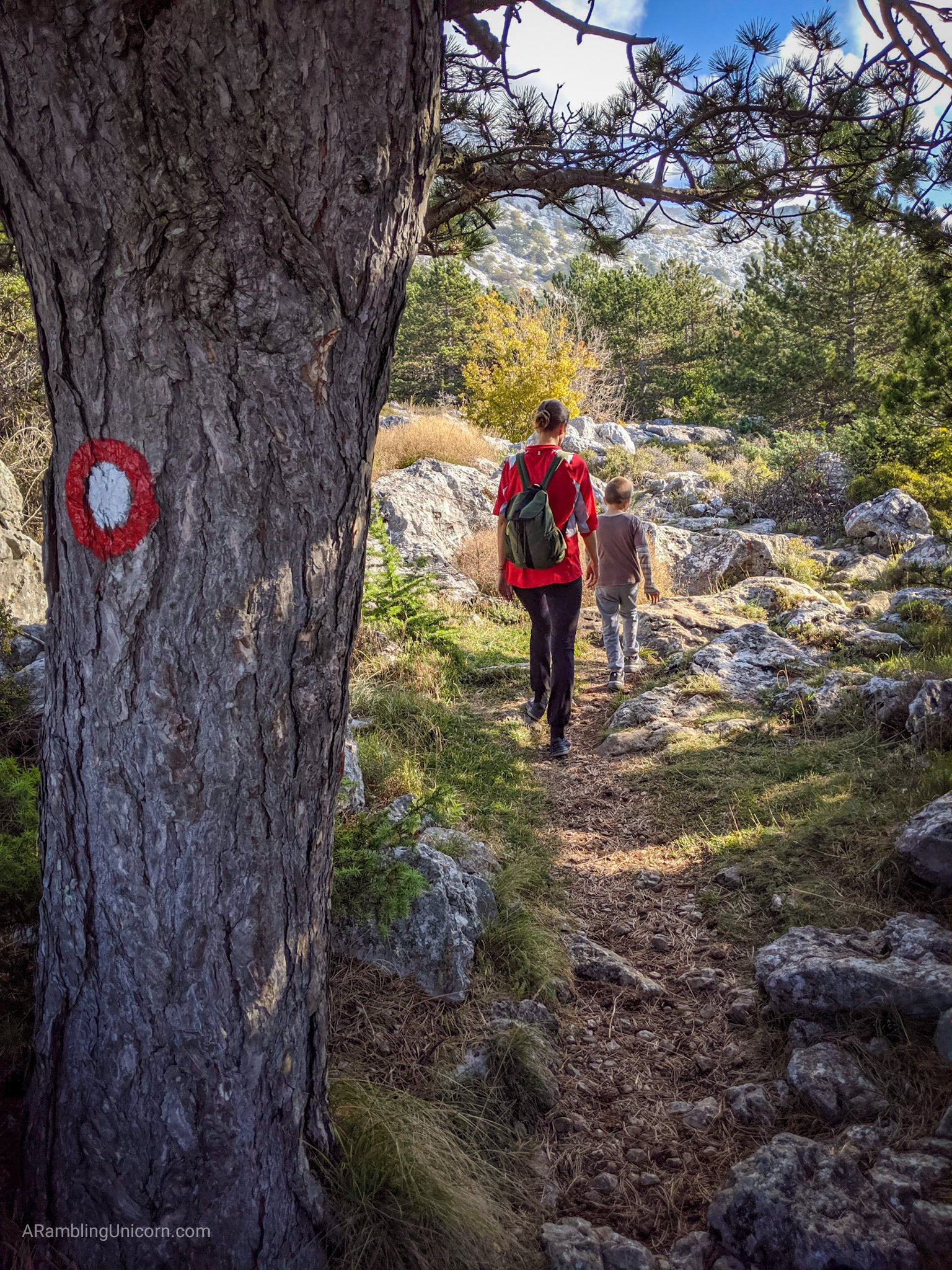
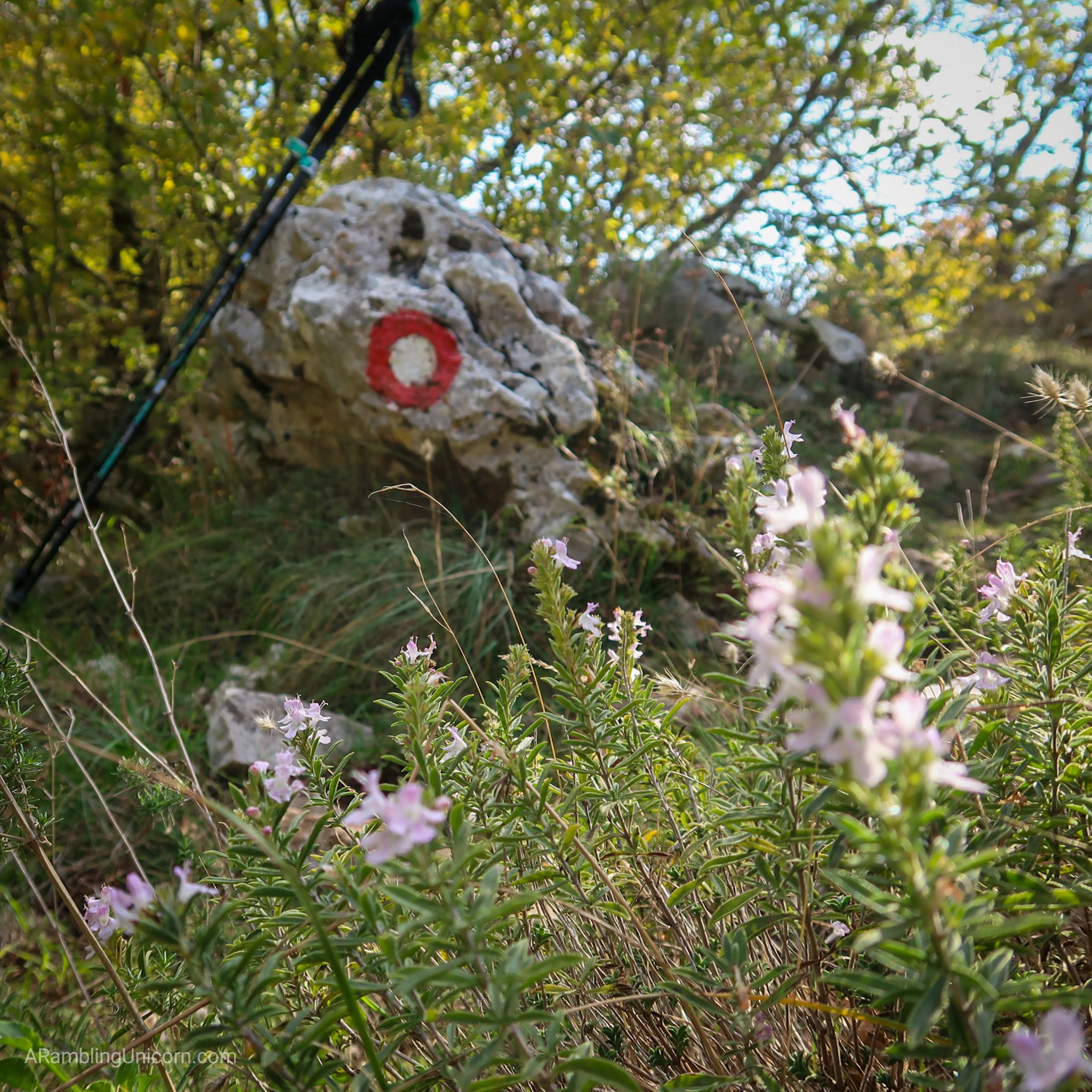
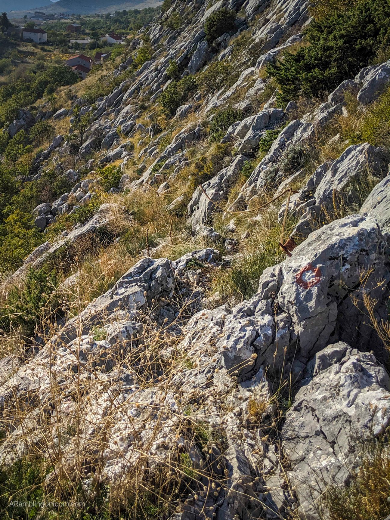
The paths are well marked with red trail markers.
Pl. dom is located in a picturesque grove of trees partway up the mountain. When I arrived around 10:00 am, hikers sat in groups outside of the hut on picnic tables eating snacks and chatting amiably. I still had lots of energy so I decided to skip lunch at Pl. dom and keep going. According to my map, there were lots of trails criss-crossing the mountain to explore. I decided to try a route which I read about in this blog which goes up to the top of Peak Veliki Kabal (elevation 1339 meters/4393 feet).

Umberto Girometta Mountain Hut (Pl. dom).
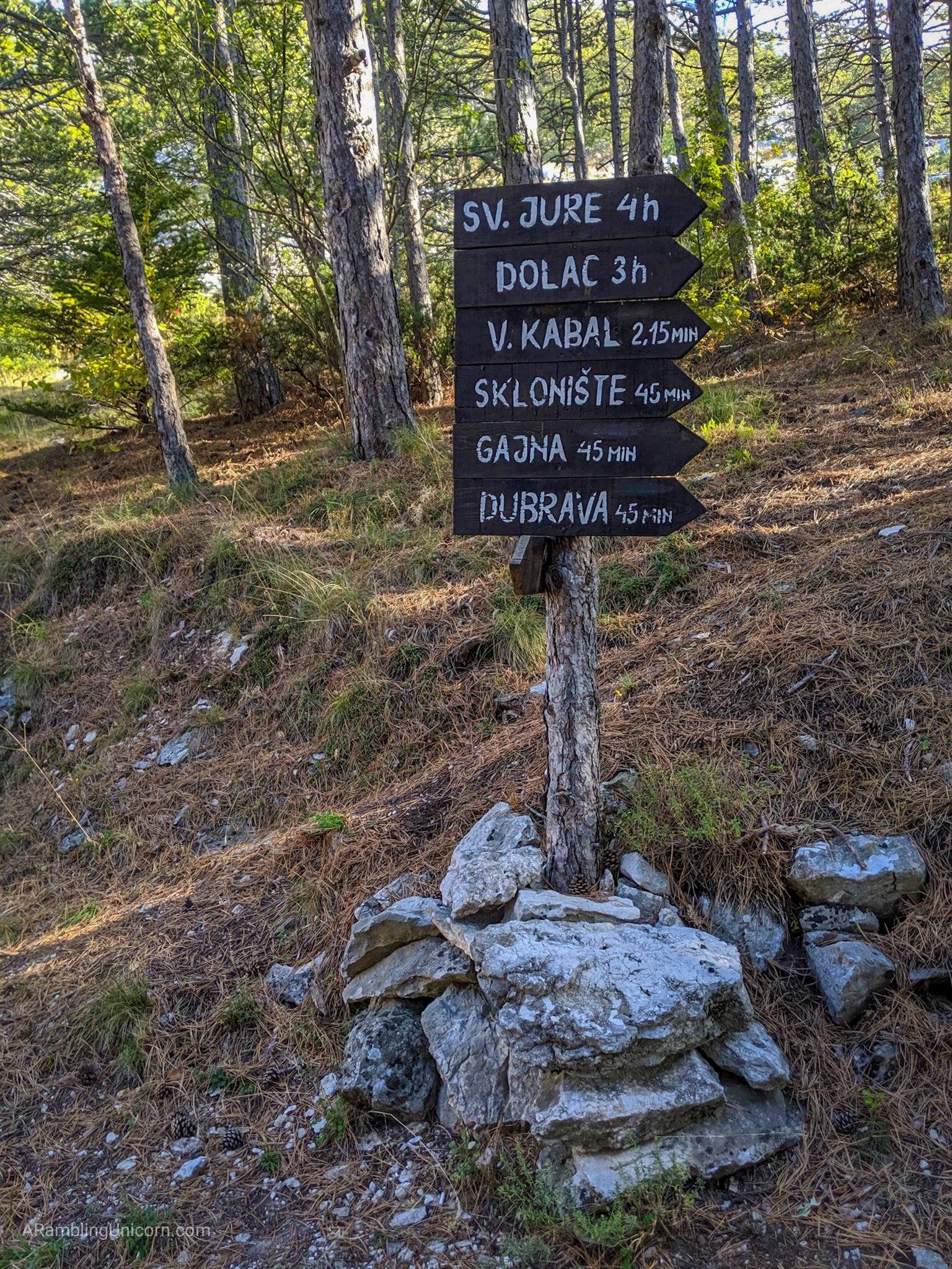
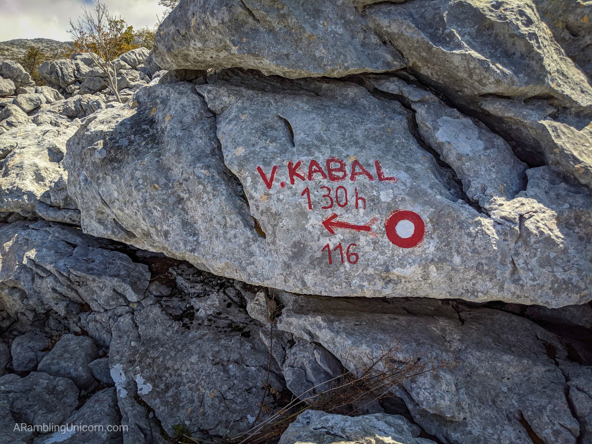
This way towards V. Kabal!
Leaving the area near the mountain hut.
My new hiking companion was concerned at my decision to strike off on my own, but I bid her goodbye and continued along my way. The trail started off fairly flat as it followed along the side of Mount Moser, and then it turned towards the summit and began climbing.
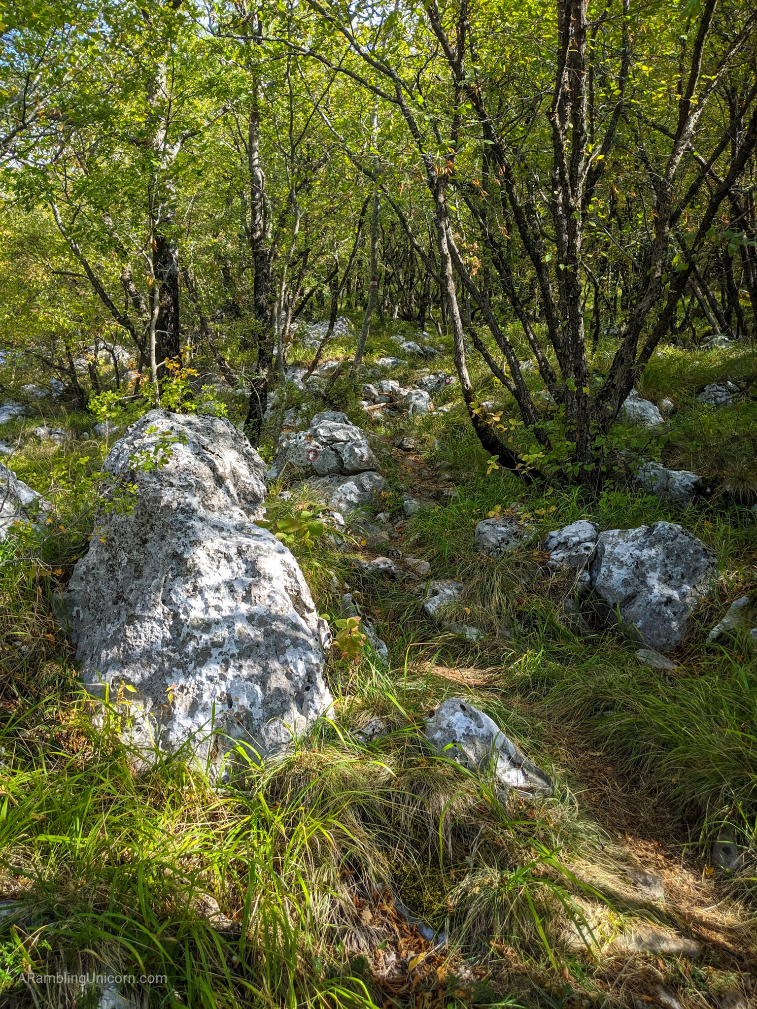
Walking through a wooded section of trail.

Another signpost pointing the way to V. Kabal.
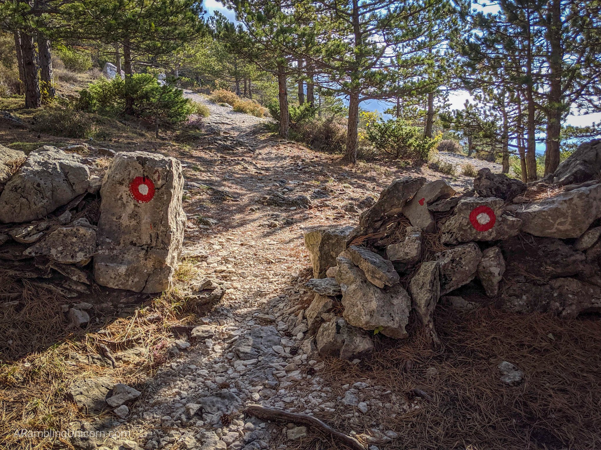
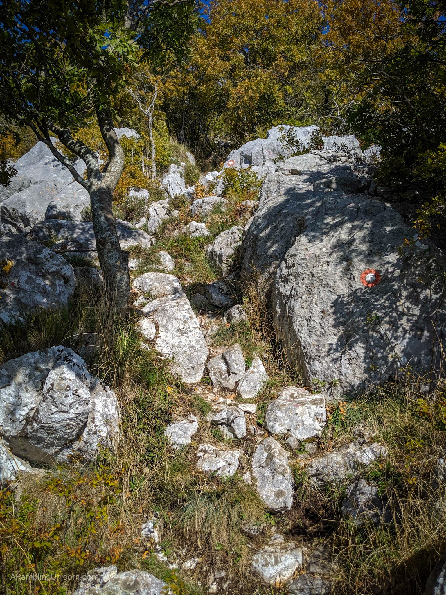
These trails are well marked.
The last half mile or so was fairly steep and I ended up hopping rocks and scrambling for much of it. I was a bit uncomfortable about tackling such a treacherous trail on my own, but I passed several other groups of hikers and was glad for the company.
This trail is getting steep!
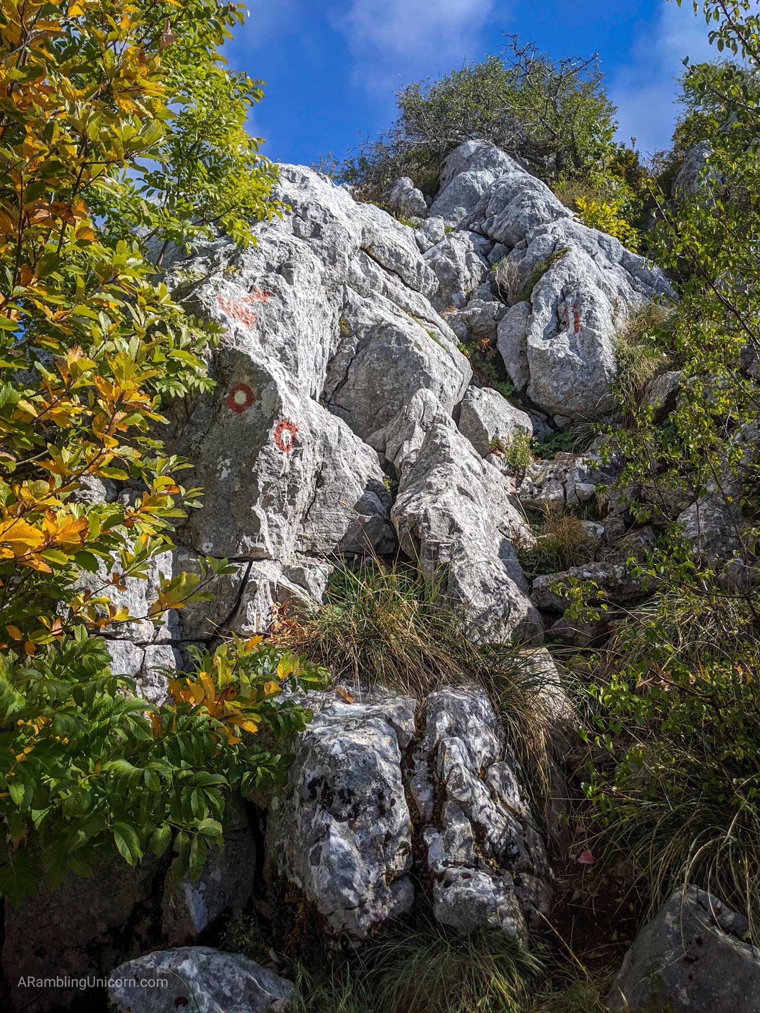
…and steeper!
…and even steeper!
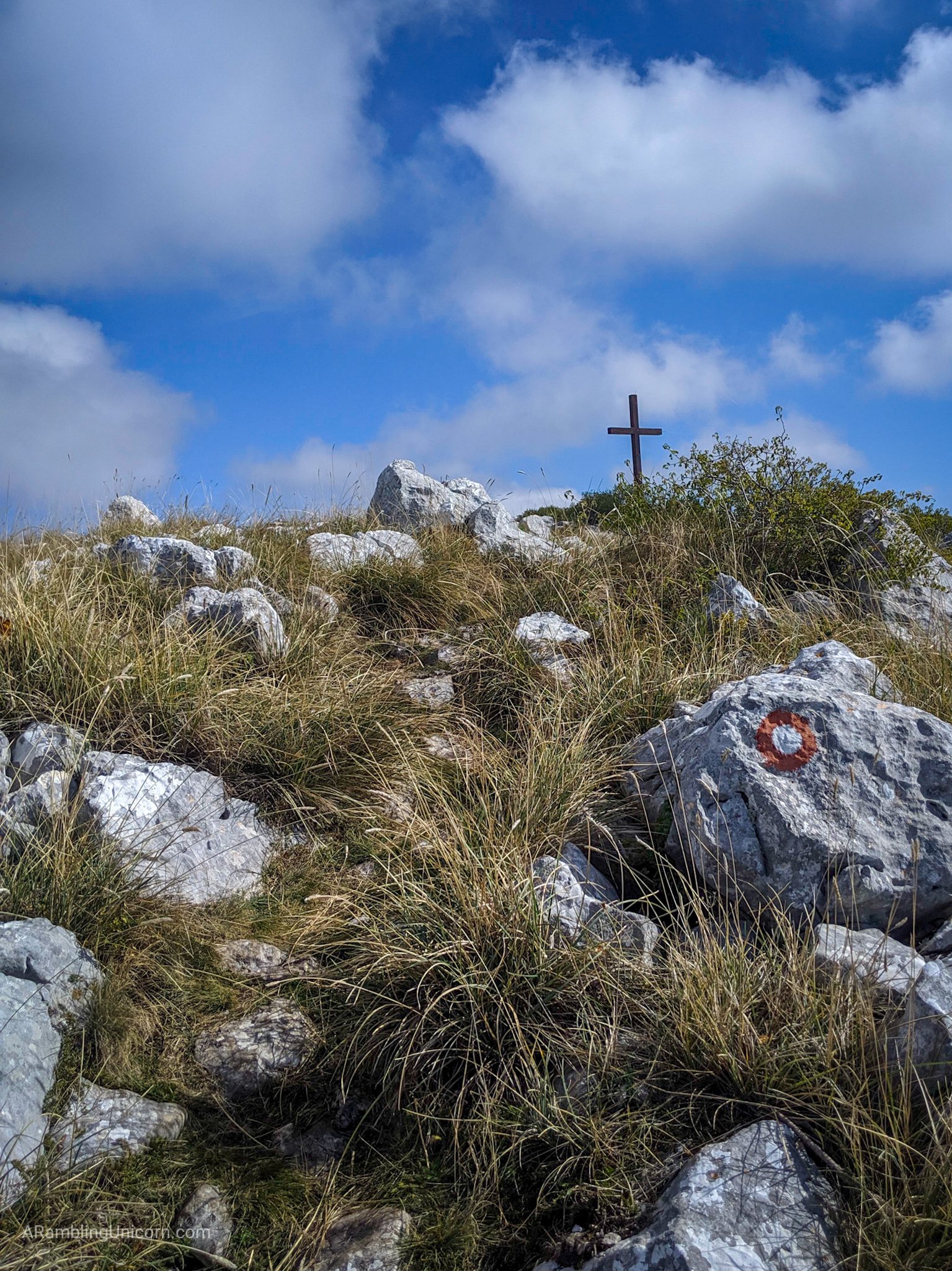
I reached the Peak Veliki Kabal around 12:30 pm and was rewarded with incredible 360-degree views from the summit. As I ate lunch, I reconsidered my plan to continue hiking along the ridge to Peak Vicov Stup and then circling back to the mountain hut from there. According to the accounts I read online, that way was even steeper than the trail I had just ascended. After conferring with another hiker on the summit, I decided to take a path down along the other side of Veliki Kabal which was less steep – albeit a bit longer.
Approaching the summit of V. Kabal.
The view of Split in the distance.
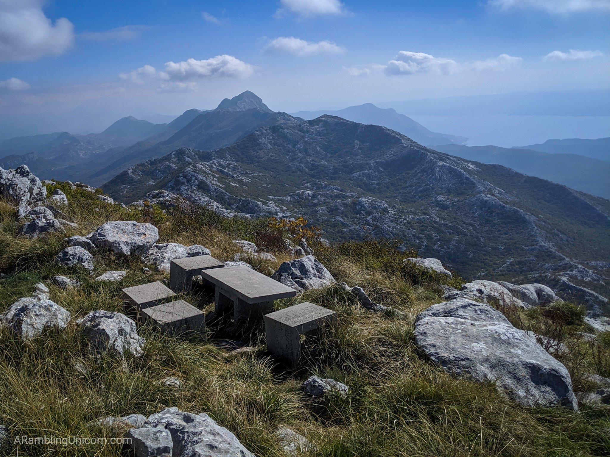
The best lunch spot ever.
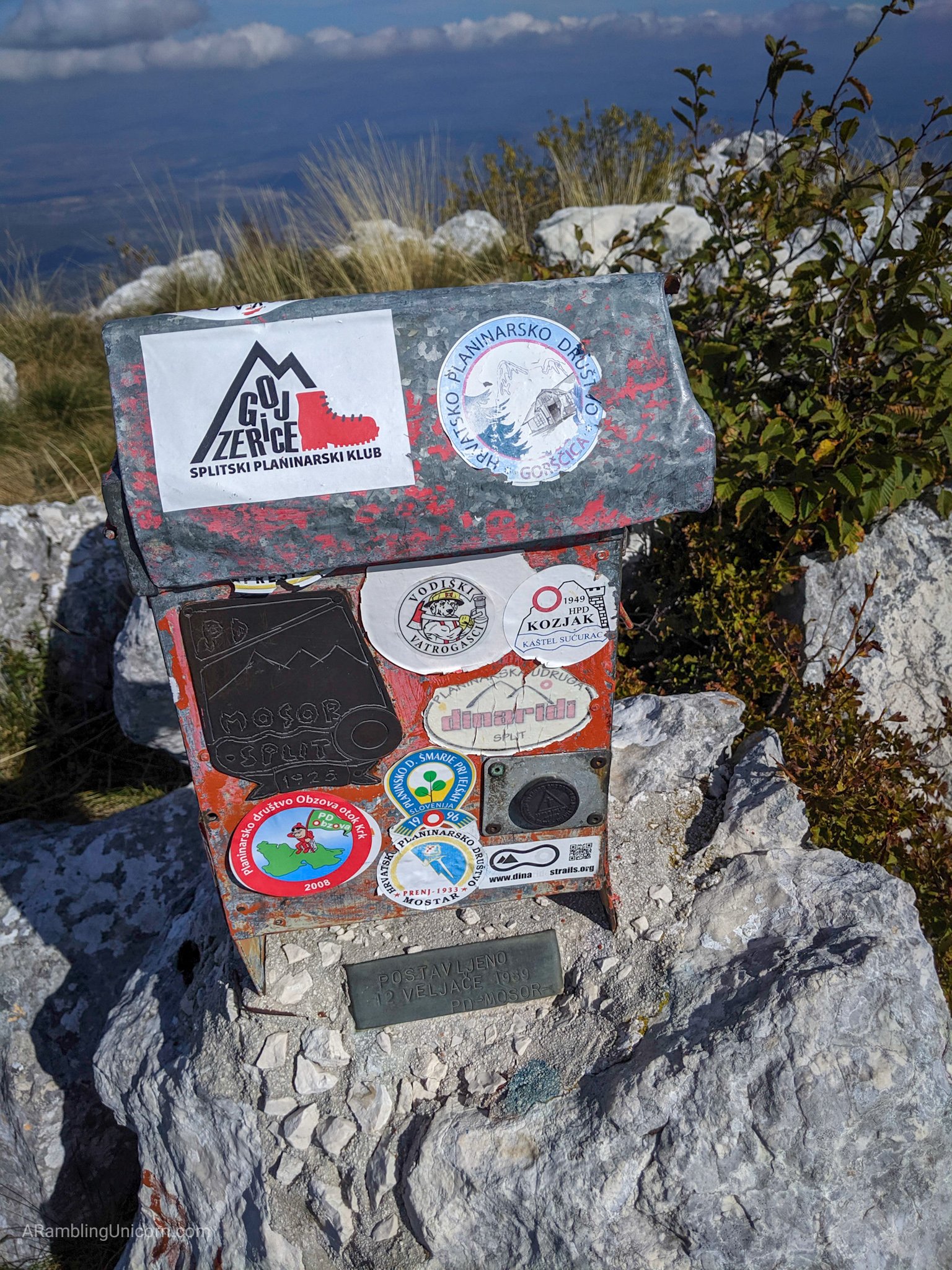
A trail register is located in the box but I forgot a pen.
The trail down the other side of Mount Mosor followed along the top of a ridge for about half an hour before descending into a valley. Here, Trail #101 intersected with Trail #120 which I planned to follow back to the mountain hut. The trail was easier to follow here as I no longer had to scramble from boulder to boulder, but the hike was taking longer than I had anticipated. I was a little confused at how far I still had to go as the distance given on signposts at each trail junction was provided in minutes not in kilometers. Using time to measure distance seems subjective to me as each person hikes at a different speed. But that seems to be the norm here. I guess I’ll get used to it.
Hiking along the ridge.
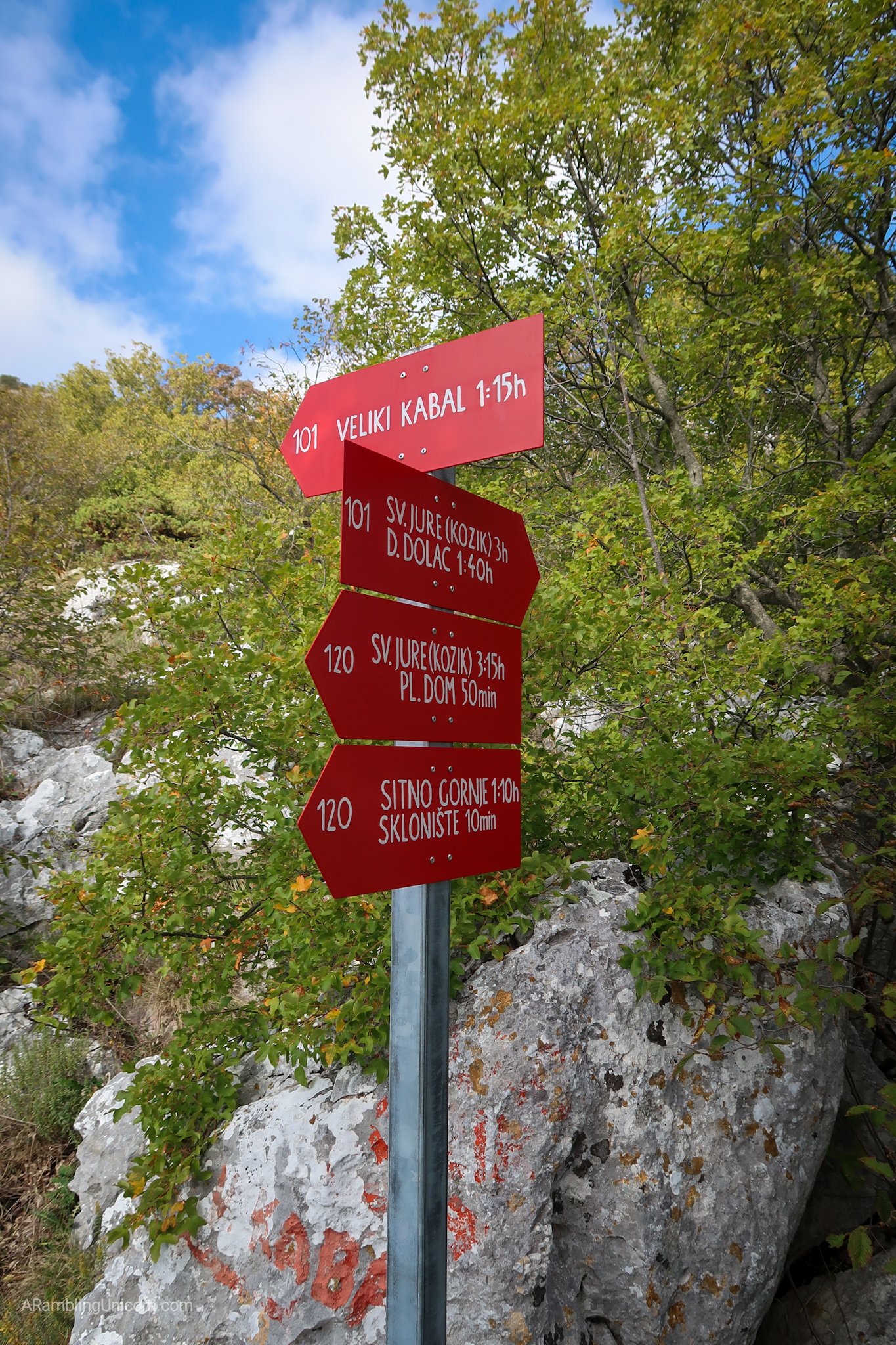
Junction for trails 101 and 120.
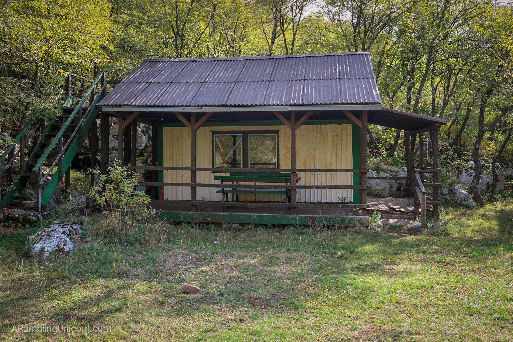
It’s a cute hut in the woods! Wait … don’t all horror movies start this way?
I was a little worried about making it back to Gornje Sitno in time to catch my bus, so I decided to bypass Pl. Dom and take another route (trail 121 and then 135) which cut diagonally straight towards town. In hindsight, this wasn’t the wisest move. This particular path was not used much and the trail markers were harder to find. It was overgrown in places and probably took more time than if I’d just stuck with the more well travelled route to Pl. dom. I didn’t encounter any other hikers on this section and at one point had to scale the side of a cliff with a rope. I was also running low on water at this point and felt particularly thirsty.
Flowers in a secluded meadow.
The path gets treacherous. Note the rope affixed to the side of the mountain.
And then suddenly the trail ended and I was in the outskirts of Gornje Sitno. The trail markers were painted on the sides of buildings to guide hikers through town. The trail wound through back alleys and past back yards and gardens. I nodded hello to local inhabitants who sat in the shade and refilled my water bottles at the town’s water fountain. Soon I was on the bus headed back to Split.

Civilization! Approaching Gornje Sitno.
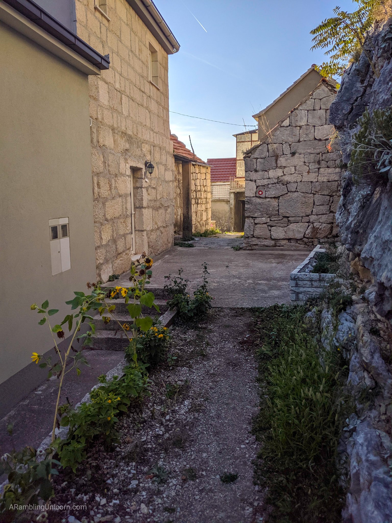
Hiking through Gornje Sitno.
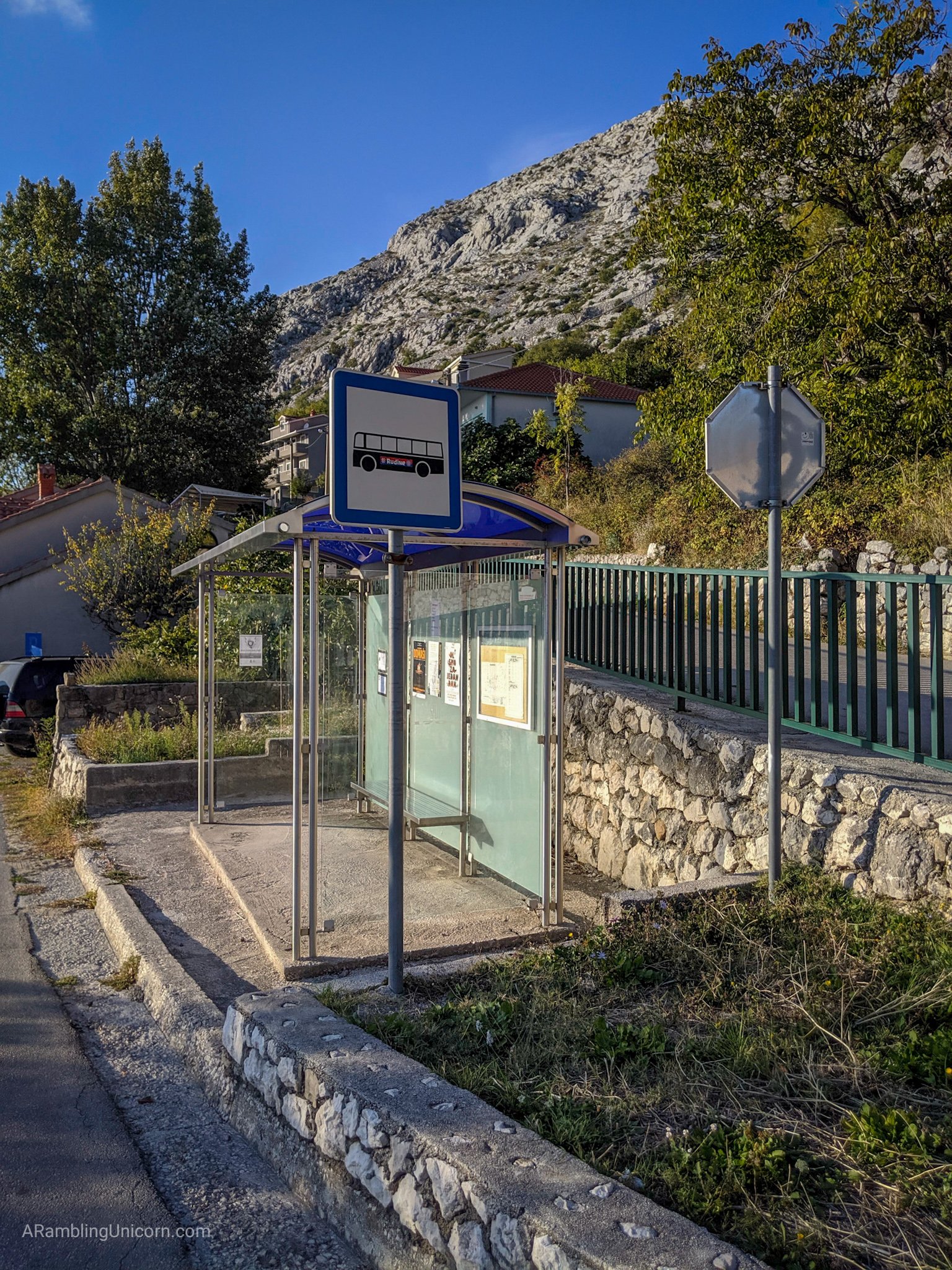
Back at the bus stop in Gornje Sitno.
What an amazing day. I would definitely recommend hiking Mount Mosor, although I don’t suggest taking the same route back that I did. For less experienced hikers I suggest ending the hike at Pl. Dom.
Additional information
- As with any hike, be prepared and bring the Ten Essentials with you.
- Wear sturdy shoes. Sandals won’t cut it on this hike.
- Be aware that poisonous snakes are in the area. You can read more about them at the Dalmatian Trekking site.
- Bring a phone and download hiking maps for the area in advance. I had cell reception the whole time which was nice.
- Stay on the trail. There are some unexploded mines in Croatia from the last war that are still being eradicated. I doubt that there are any in this area but I’m not taking any chances.
- This blog is a good reference: Hiking Mount Mosor “The Man’s Way”
Getting there by bus
I took the local bus #28 from Split’s bus station to the town of Gornje Sitno. Note: there are two bus stations in Split and this one, also called Bus Terminal SukoiÅ¡an, primarily serves local buses. Be sure to check the bus schedule as the buses sometimes don’t run very frequently, especially on a Sunday.
- Bus schedule #28 from Split towards Dubrava with a stop in Gornje Sitno (also called Sitno G on the timetable)
- Bus schedule #28 from Dubrava to Gornje Sitno to Split
Elevation
- Starting altitude at parking lot: 590 meters/1935 feet
- Mountain house Umberto Girometta: 868 meters/2847 feet
- Veliki Kabal Elevation: 1339 meters/4393 feet
- Vicov Stup Elevation: 1325 meters/4347 feet
- Total Elevation gain from parking lot to peak Veliki Kabal: 711 meters/2332 feet
Distance – Planned Hike
- Car Park to hut: 1.5 km/ .93 mile
- Hut to V Kabal: 1.75 km / 1.09 mile
- V Kabal to Vickov Stup: 1 km / .62 mile
- Vickov Stup to Hut: 1.5 km / .93 mile
- Hut to Car Park: 1.5 km / .93 mile
- Total: 7.25 km/4.5 miles

This shows the route I originally planned to take.
Distance – Actual Hike
- Car Park to hut: 1.5 km/ .93 mile
- Hut to V Kabal: 1.75 km / 1.09 mile
- V Kabal to junction with #120 : 1.1 km
- Junction with #120 to the outskirts of Gornje Sitno: 2.75 km
- Path through the village of Gornje Sitno: .5 km
- Total: 7.6 km/4.7 miles
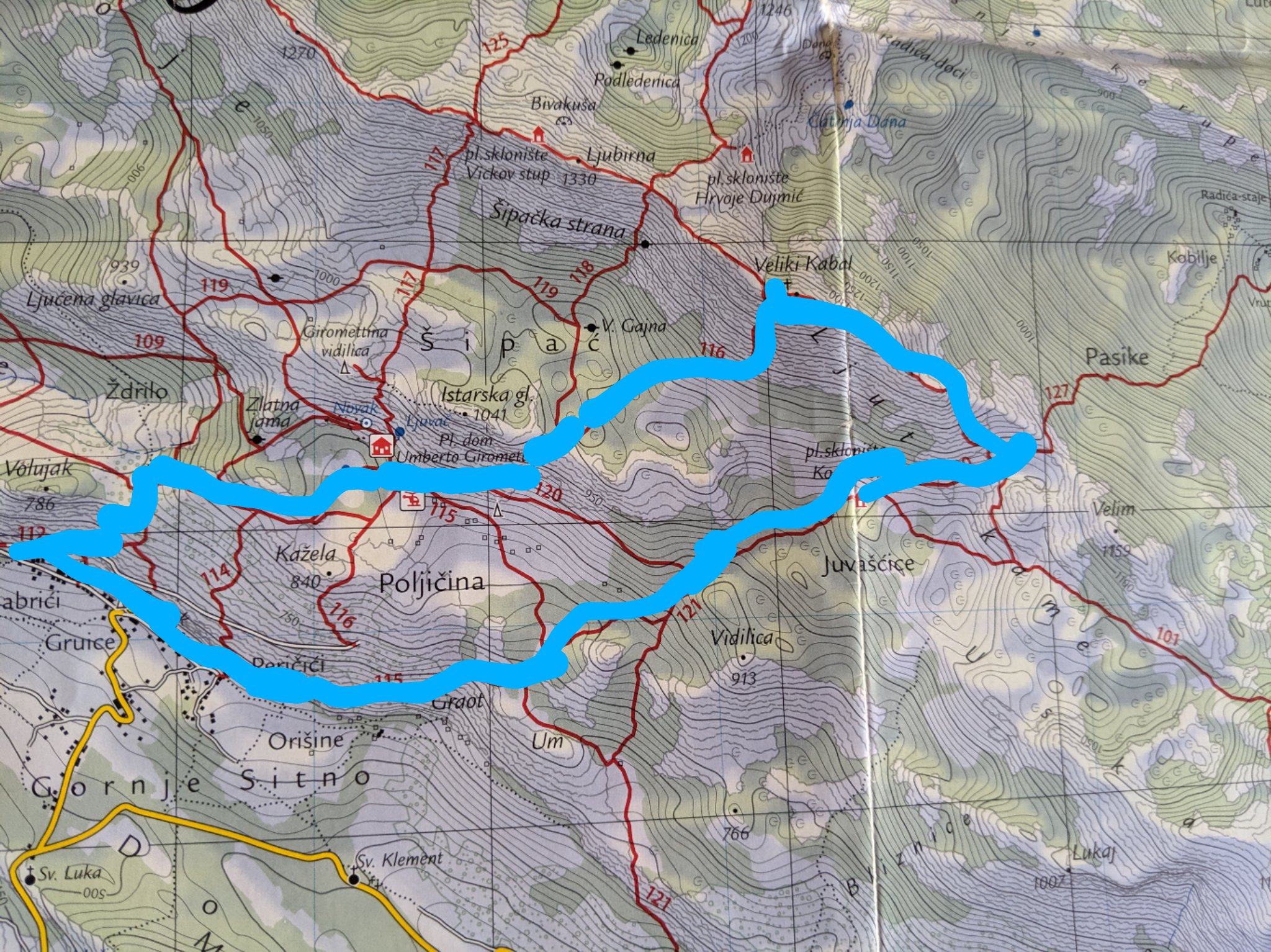
This map shows the route that I actually took on today’s hike.

0 Comments