
Donegal is a wild and beautiful county in the northwestern corner of Ireland. The area is known for its spectacularly rugged coastline along the famous Wild Atlantic Way as well as a large Irish-speaking population.
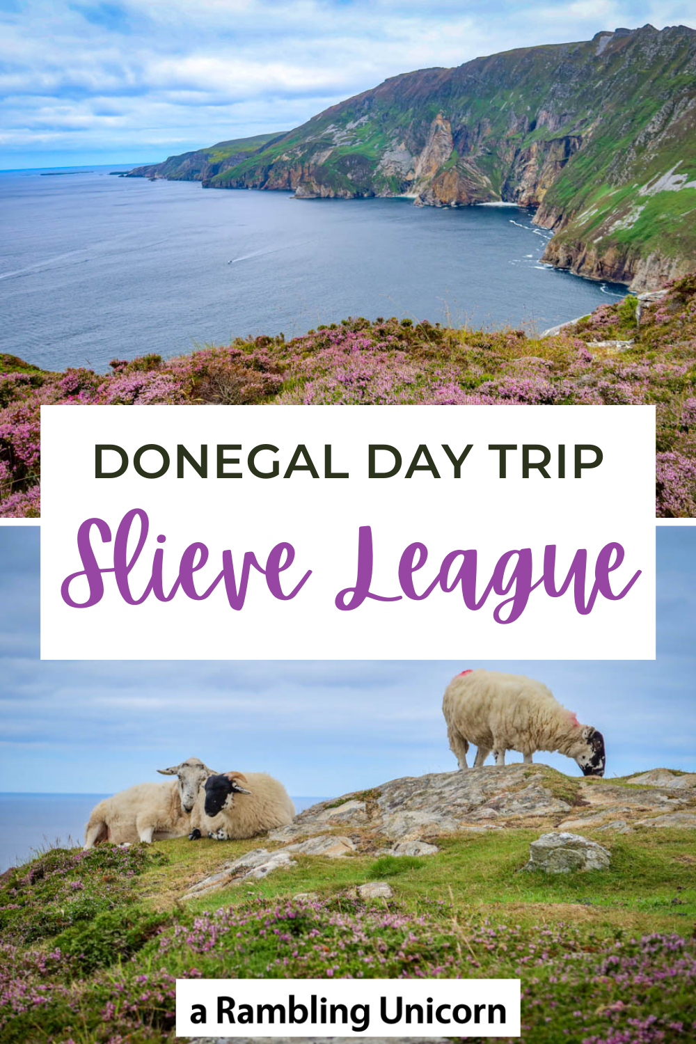
It is also home to Slieve League, a massive wall of sea cliffs which are among some of the tallest cliffs in all of Europe.
Malin’s Head is another popular destination in Donegal County. The northernmost point on the island, Malin’s Head is further north than anywhere in Ireland – which also includes all of Northern Ireland.
This comes as a surprise to those who aren’t familiar with Irish geography.
What drew us to Donegal, however, was Daniel’s Irish ancestry.
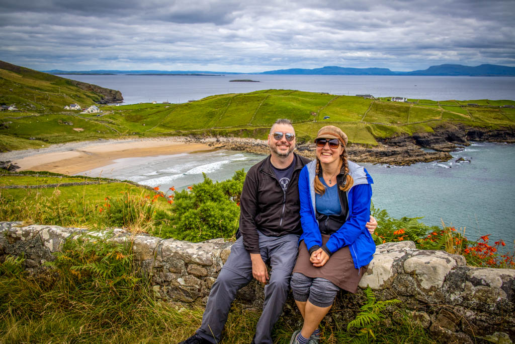
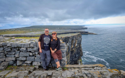
Daniel and I pose for a photo at Muckross Head on the Wild Atlantic Way
My husband Daniel, of The Wandering Hedonist, traced his distant relatives to County Donegal after taking a DNA test. So we took a bus from Dublin to Donegal Town to learn more.
(You can read more about Daniel’s efforts to trace his ancestry in his blog post: Donegal, Ireland – Home of my ancestors.)
While we were there, we decided to explore some of the area’s natural beauty. Since we arrived without a car, that meant taking public transportation or hiring a tour guide.
I had some trouble finding any tours operating during our visit due to COVID-19, so I headed to the Donegal Visitor Center. And that’s where I met Michelle.
One of the friendliest people I have met in a long time, Michelle knew everyone in town. She knew the hostess at our accommodation and even called to let her know that our bus arrived an hour late.
She also confirmed that most organized tours in the area were not currently running due to the pandemic.
But, she knew a guy.
So she picked up the phone and 5 minutes later we had an affordable private Donegal day trip booked with a local tour guide named John.
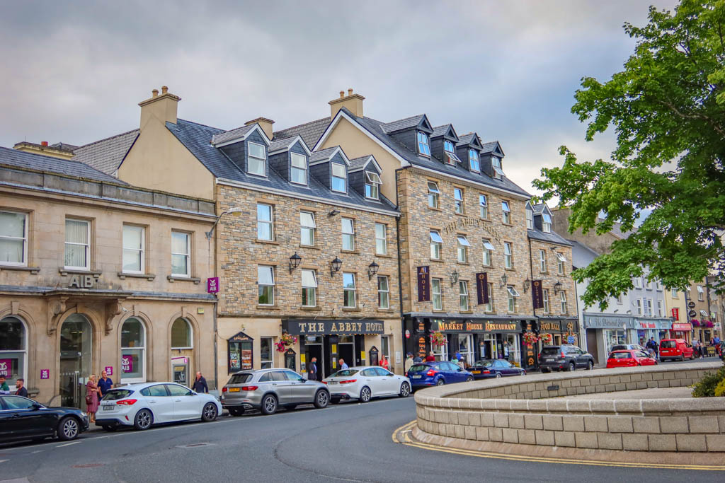
This is the main square in Donegal Town, just down the street from the Tourist Information office.
Table of Contents
Booking a Donegal Day Tour
I wasn’t sure what to expect before embarking on our Donegal day trip to be honest. I didn’t know anything about the tour operator and didn’t even know if he had a web site.
Michelle marked some of the places we’d be visiting on a map but I’d never heard of them before.
We figured we may as was well go for it anyway and see what happened. Why not. Plus we didn’t really have any other options to choose from.
As it turns out I needn’t have worried. John is a friendly and seasoned professional and we had a fabulous time. He took us to some incredibly scenic locations that we never could have found on our own.
He is also an experienced hiker and frequently leads walking tours in addition to sightseeing tours.
It was really interesting to hear him talk about all the hiking he does. I wish we could have stayed longer and gone on some hikes in Donegal.
And he does have a web site! Here it is if you’d like to check it out for yourself: Walking Ireland.
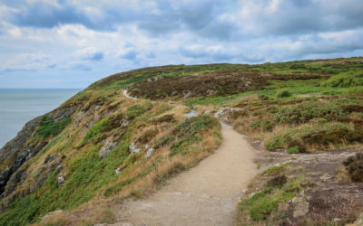
Looking for other beautiful areas of Ireland to explore? Be sure to check out the Howth Cliff Walk – a short train ride away from Dublin!
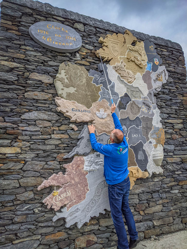
Our tour guide, John, points out our location on a giant stone map of Ireland.
Donegal Wild Atlantic Day Tour Overview
John offers several tours and guided walks on his web site. We ended up taking the Donegal Wild Atlantic Sightseeing Tour option and were very happy with it.
Here’s on overview of stops we made along the tour:
- Killybegs – Ireland’s largest fishing port
- Slieve League – among the tallest sea cliffs in Ireland
- Glencolmcille Folk Village – replica of a thatched-roof village depicting rural life from centuries ago
- Malinbeg – a lovely sandy beach hidden in a secret cove
- Muckross Head – photo op at a picturesque peninsula along the Wild Atlantic Way
Plus some other quick stops for photos and lunch.
The entire Donegal day trip took about 6 hours – which was just long enough to experience the local scenery without feeling overwhelmed.
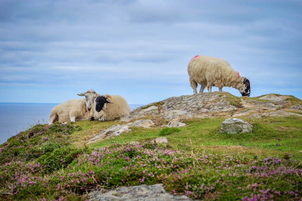
SHEEEEEP!!! These particular sheep are chilling on the cliffs near Slieve League.
What is the Wild Atlantic Way?
The Wild Atlantic Way is a 2600 km (1600 mile) road that traces the entire western coast of Ireland.
Stretching from County Donegal’s Inishowen Peninsula in the north to Kinsale in the south, the route passes through nine counties and three provinces.
A relatively new driving route, the path was officially launched in 2014 by Fáilte Ireland, the Irish Tourism Board. There are 157 discovery points along the route as well as a thousand attractions.
I had never heard of the Wild Atlantic Way before taking our Donegal Day Tour. I guess this isn’t surprising given how new it is.
But I was surprised at how long the route is! We spent most of the day driving along the path on our day trip and only saw a small fraction of it.
It would be fun to rent a car and drive the whole thing.
Someday…
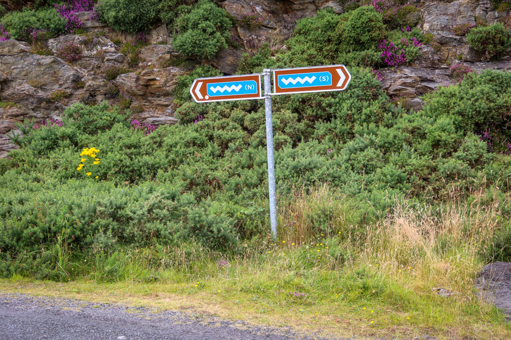
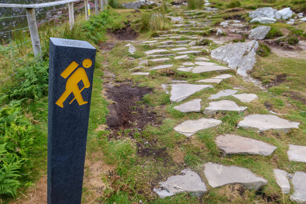
Roadside marker for the Wild Atlantic Way. The squiggle is supposed to represent the letters “WAW”. Yeah it isn’t obvious.
Highlights of our Donegal Day Trip
Okay! Now that I’ve gotten the preliminaries out of the way, here are some of the highlights of our Donegal day trip with John.
Killybegs Fishing Port
The first stop of the day was at Killybegs, which is Ireland’s largest fishing port. John drove us right out to the docks where we got a first-hand look at the enormous fishing boats anchored along the pier.
There were a few guys running around in orange fishing bibs but otherwise the place was pretty quiet. That’s because we were visiting in the off-season.
John explained that the primary seafoods exported from Killybegs, mackerel and herring, are fished in the winter months.
The visit brought back fond memories from my years working at a salmon cannery in Ketchikan, Alaska.
I spent four summers processing salmon to earn money for college. I remember working 16-hour days every day for a month. It was brutal work but a really fun experience too. Ketchikan is an incredibly beautiful place.
Plus there weren’t that many women in Ketchikan. Let’s just say I never bought myself a beer the entire time I worked up there.
But I digress.
Soon it was time to leave Killybegs and continue with our Donegal day trip.
As we were leaving town, we got stuck in some traffic due to a relay competition. We enjoyed watching the local residents race through the downtown area as we drove away.
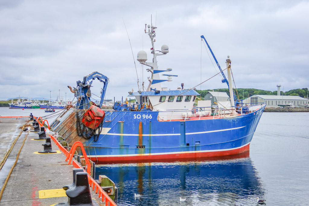
A fishing boat at the Killybegs docks
Slieve League (Sliabh Liag)
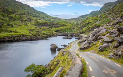
The dramatic Slieve League Cliffs (Sliabh Liag) rise to a height of 601 meters above sea level. A trail leads to the cliffs with an incredible vantage point where you can gaze at the water crashing far below.
You can also hike right to the very top of the cliffs along a narrow knife’s edge on One Man’s Pass if you dare!
Whether or not these mountains are the tallest sea cliffs in Europe is up to some debate. Apparently, the Croaghaun Cliffs just to the south in County Mayo are slightly taller at 687 meters (2257 feet). But they apparently aren’t easily accessible.
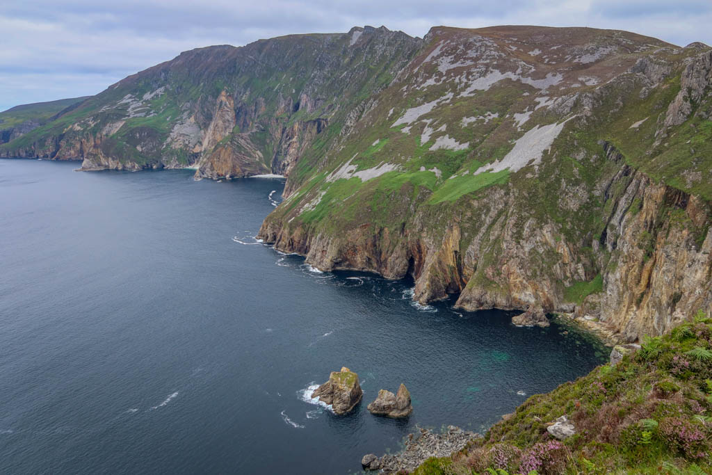
The Slieve League Cliffs (Sliabh Liag)
So the folks in County Donegal like to brag that they have the highest *accessible* sea cliffs in Europe. (Never mind the Hornelen Cliffs in Norway!)
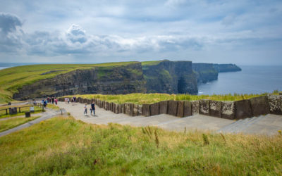
Regardless of who has the tallest sea cliffs, the Slieve League Cliffs are 3 times taller than the famous Cliffs of Moher in County Clare and get only a fraction of the visitors.
And they absolutely took my breath away.
Note that they have recently implemented some parking changes at Slieve League in 2021 to prevent overtourism. Only shuttle buses and tour buses are allowed to drive to the top parking lot next to the viewing platform.
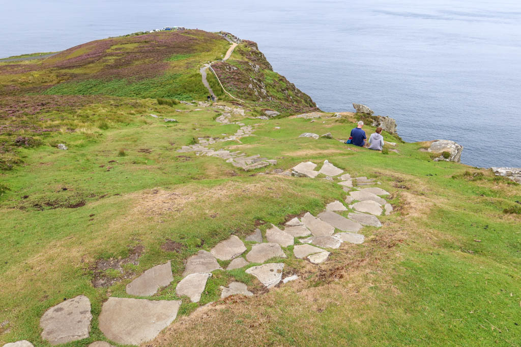
View from the hiking trails looking back at the viewing platform and the upper parking lot
If you arrive by car to Slieve League, you will have to park at the lower viewing platform and hike up. It’s about a 30-40 minute walk (each way) along a lovely winding road with incredible views and lots of sheep.
Note that there is a fee to park at the lower lot.
If you’d rather not walk to the top, you can park at the Slieve League Visitor Center in Teelin and take a shuttle bus to the top. The cost is €6 per person for a return ticket.
Wanna go for a hike?
For a more challenging option, consider hiking to the visitor center from Teelin along the Pilgrim’s Path.
Regardless of which option you choose to the top, take extra care during cloudy or misty weather. There are no railings along much of the cliffs so you have to be very careful around the edge.
Lunch at Glencolmcille Folk Village
After our stop at Slieve League, John continued the tour with a stop at Glencolmcille Folk Village. The village is located in a Gaeltacht district – which means that a significant Irish-speaking population lives in the area.
Glencolmcille is a replica of a working village village complete with small cottages and thatched roofs. The folk village depicts what life was like for residents in the 1700’s, 1800’s and 1900’s.
The brainchild of Father James McDyer, the village was created to help bring employment to the area in the 1960s. It is a community-led effort that is still managed by local residents to this day.
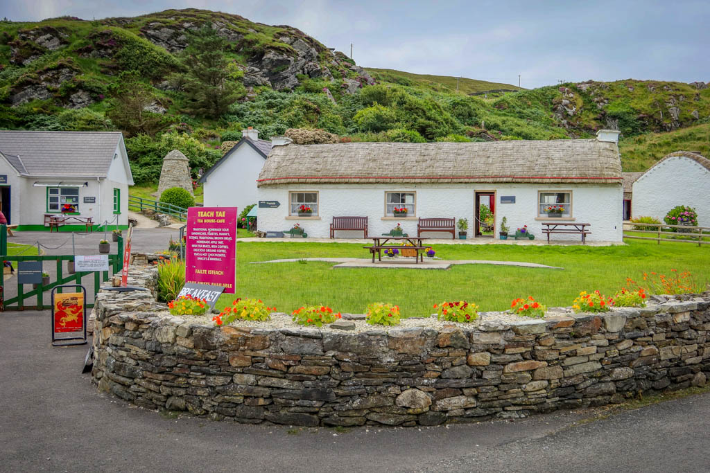
Glencolmcille Folk Village
We didn’t have time to tour the village on our visit however. We were there for the soup!
The folk village has a small tea house cafe which serves hearty dishes and pastries. John had been telling us about the cafe’s excellent vegetable soup all morning. He was clearly looking forward to the soup and couldn’t recommend it highly enough.
So we had to try the soup of course. Would it live up to hype?
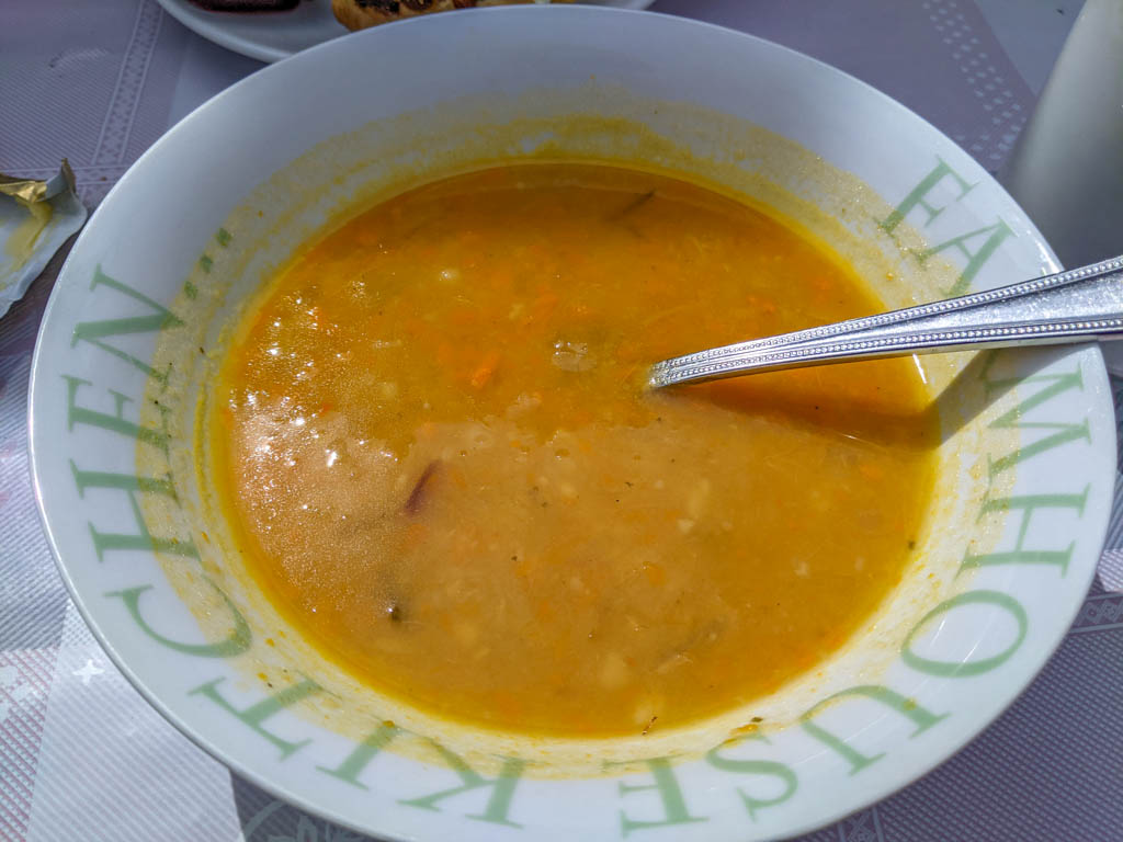
The famous vegetable soup
The answer is – yes! The soup is just as good as John told us it would be. It is served with traditional home made brown bread and made for quite a hearty lunch.
Before leaving, John also showed us a giant stone map of Ireland across the street. Known as Clocha na hEireann, the map includes different stones representing each county in Ireland.
The map is a beautiful work of art that was created as a collaborative effort by stone masons across the country.
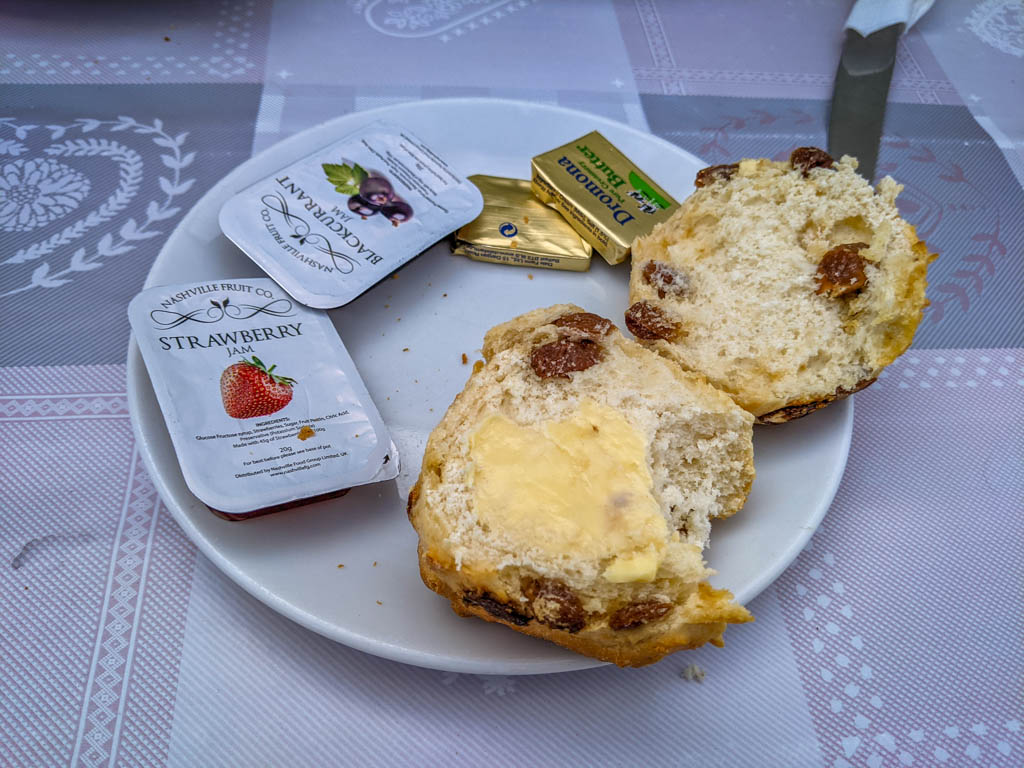
I also had this tasty currant scone with my lunch. Yum!
Silver Strand Beach (Malinbeg)
After lunch, John drove us to the picturesque Silver Strand Beach at Malinbeg (Malainn Bhig). A gorgeous sandy beach tucked in a hidden cove, Malinbeg is a favorite swimming spot for locals.
Be prepared for a hike if you visit Malinbeg, however, as the beach is only accessible by a long wooden staircase. There are 174 steps, in fact, to reach the bottom.
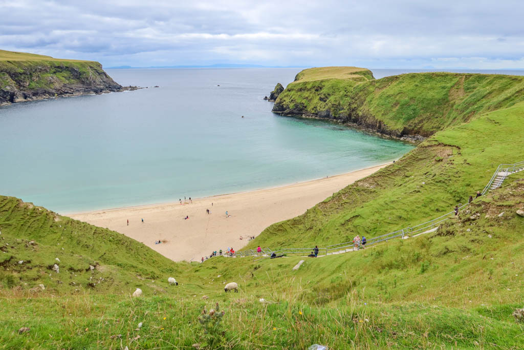
Silver Strand Beach at Malinbeg
The hike is definitely worth the effort, however, as the sandy beach is quite lovely.
There are also lots of sheep grazing on the hillside above the cliffs. I still get excited every time I see some sheep so this was a highlight for me as well.
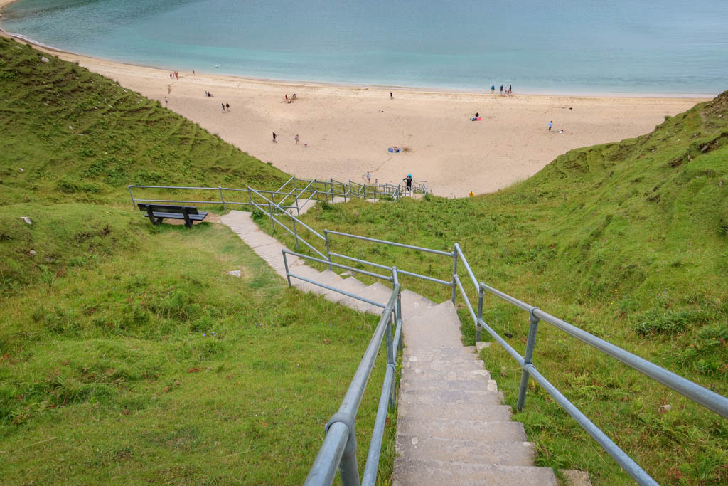
That’s a lot of steps!
Muckross Head
After dipping my toes in the ocean at Malinbeg, it was time to head back. John stopped at several places for photo ops along the Wild Atlantic Way.
My favorite photo stop, however, was at Muckross Head.
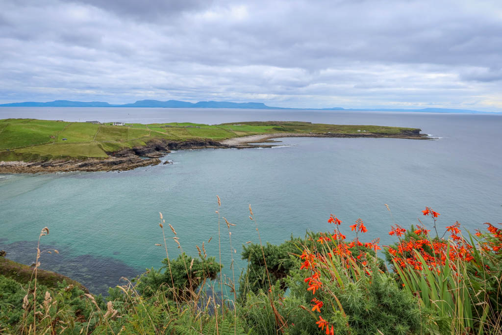
View of Muckross Head
Muckross Head is a small peninsula near Killybegs that juts into the ocean and forms part of a sheltered cove. We stopped at a viewpoint along the Wild Atlantic Way where we got some great views of the peninsula and the coastline.
John insisted that we take some photos of eachother at the viewpoint and suggested some new poses.
So, of course, we had to oblige…
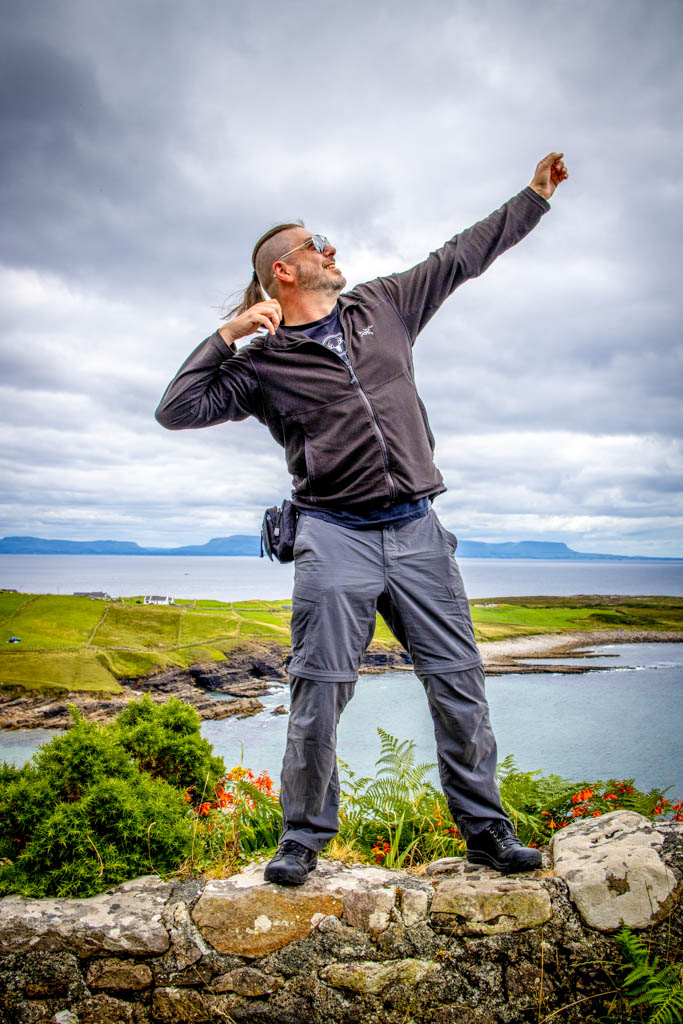
Daniel’s posed photo at Muckross Head.
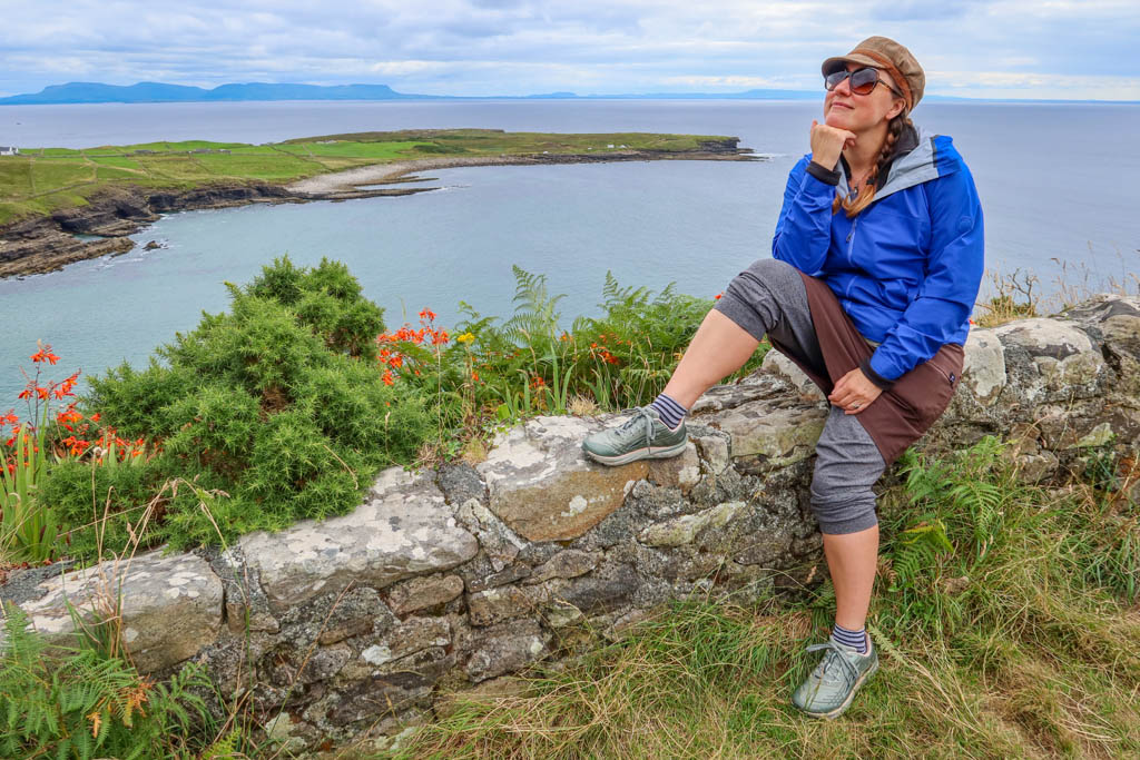
My posed photo at Muckross Head.
Ok those photos were fun but a little awkward.
Let’s try those again!
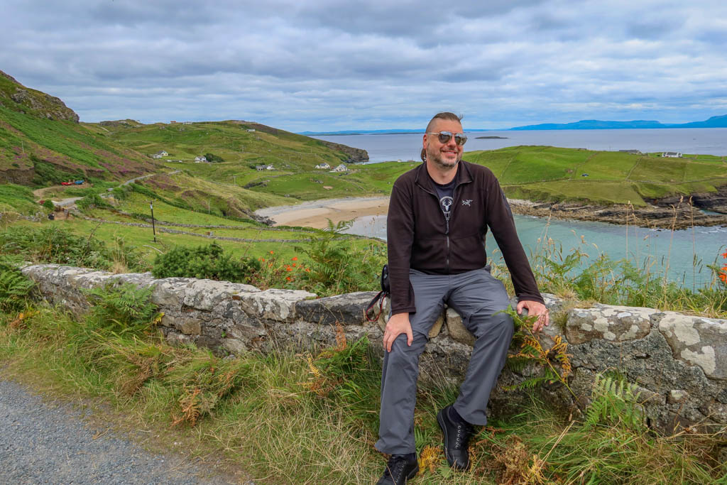
Take two! Daniel at Muckross Head.
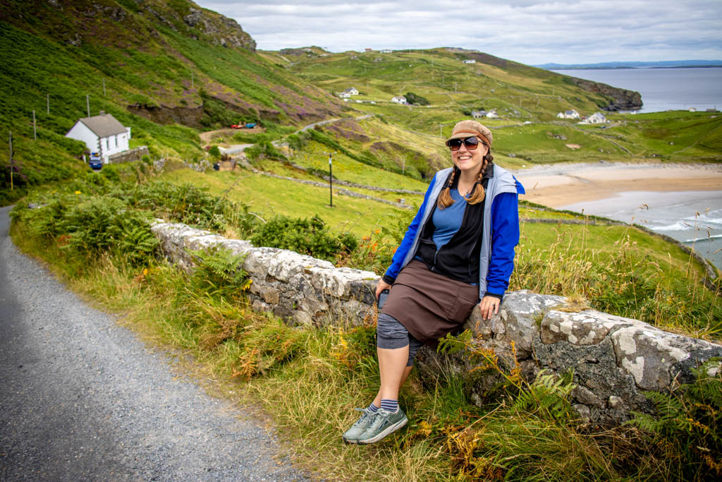
Take two! Me at Muckross Head. Photo by Daniel.
Like this article? Pin it!

0 Comments