
6.4 Miles
1095 feet elevation gain
During our recent heat wave, I decided to hit the trails early for another midweek hike. This time I headed to Cougar Mountain – it’s an area I’ve visited previously but not for several years. As a part of the Issaquah Alps mountain range, Cougar is the easiest mountain to access as it’s the closest mountain to Seattle.
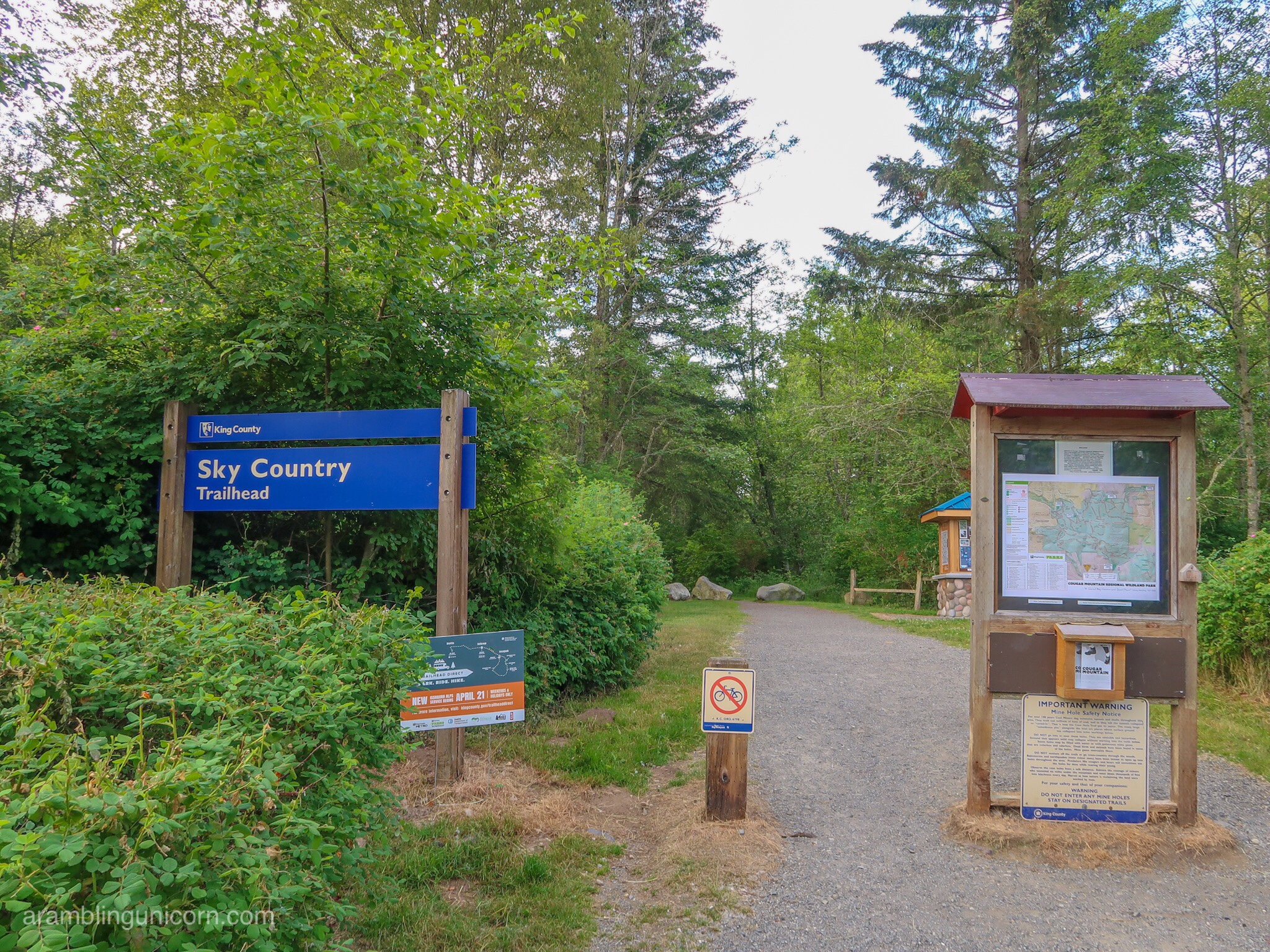
The Sky Country Trailhead
I hoped to start my hike from the Red Town Trailhead but, alas, the gate was closed when I arrived at 7:00 am. So I drove over to the Sky Country Trailhead instead. The parking lot is huge but there were only 6 other cars when I arrived.
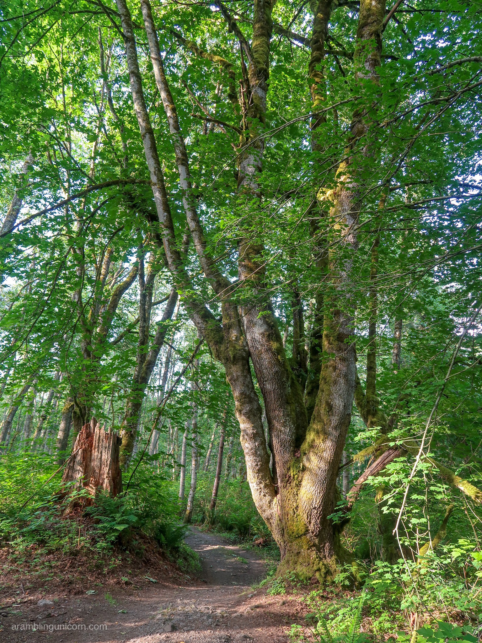
Big Leaf Maple Tree along Fred’s Railroad Trail
With over 35 miles of interconnected trails and access to nearby Squak Mountain, Cougar Mountain provides many routes to choose from. I found it easy to customize the length and difficulty of my hike – all I needed was a map. Free paper maps are available at the trailhead and a digital map is available for download at the King County website.
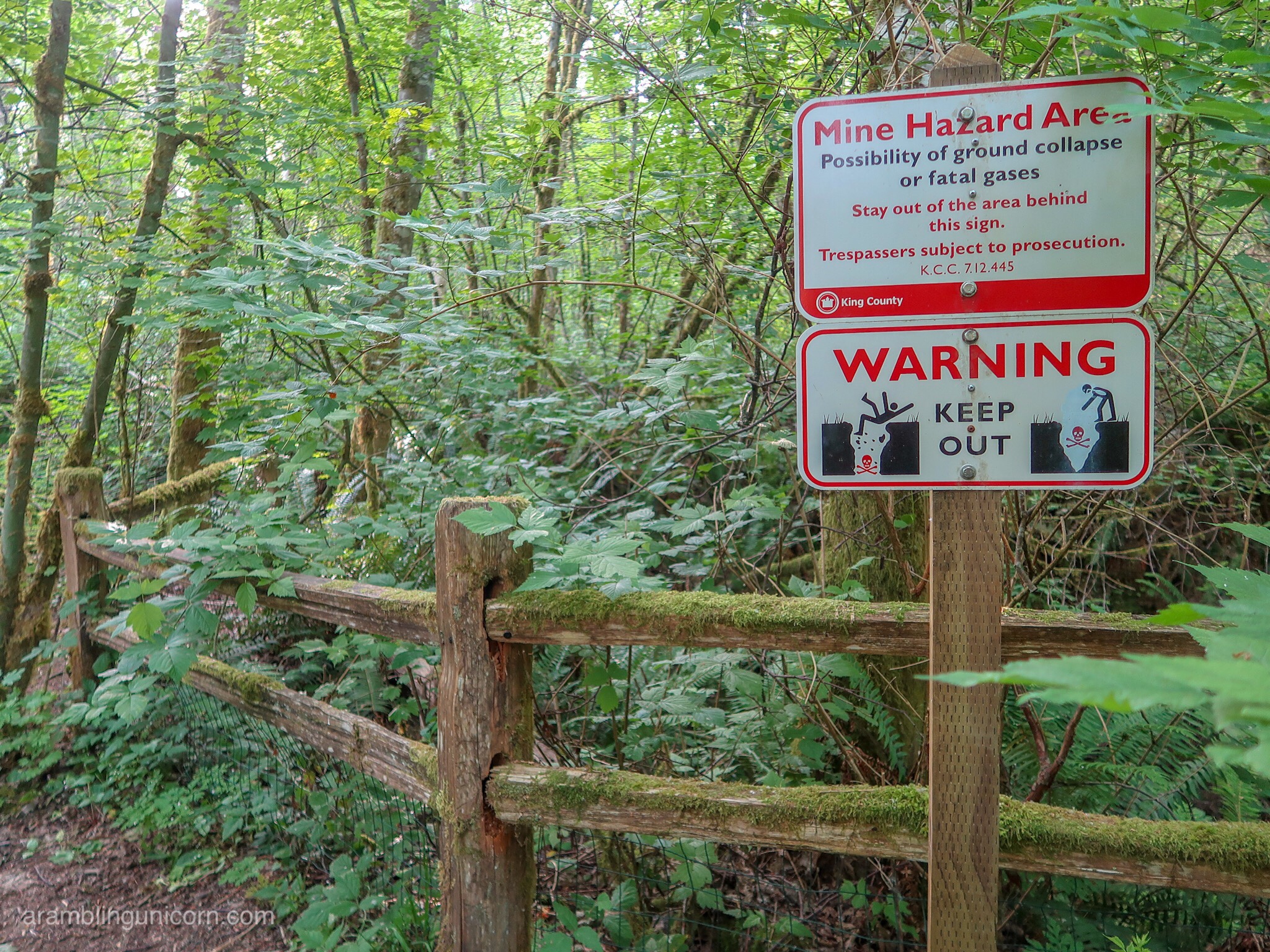
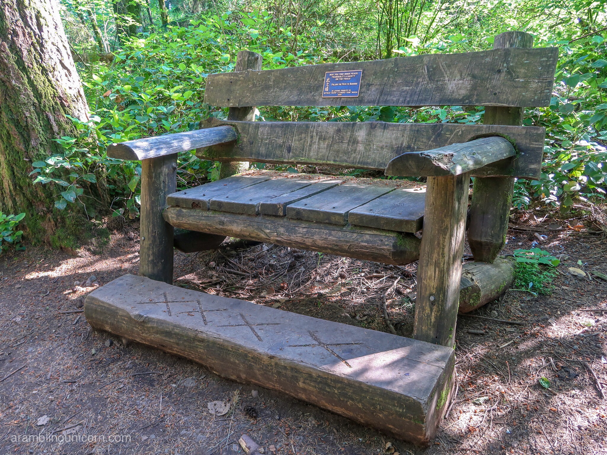
Several areas of the park are roped off due to old mining activity
The Anti-Aircraft Peak loop is one of the more popular routes on Cougar Mountain, but since I’ve already hiked that trail I decided to explore the southeast corner of the park instead. So I headed east on Old Man’s Trail which travels by the site of a former Nike anti-aircraft missile defense system. I seem to be hiking a lot of trails recently that are located on former military installations.
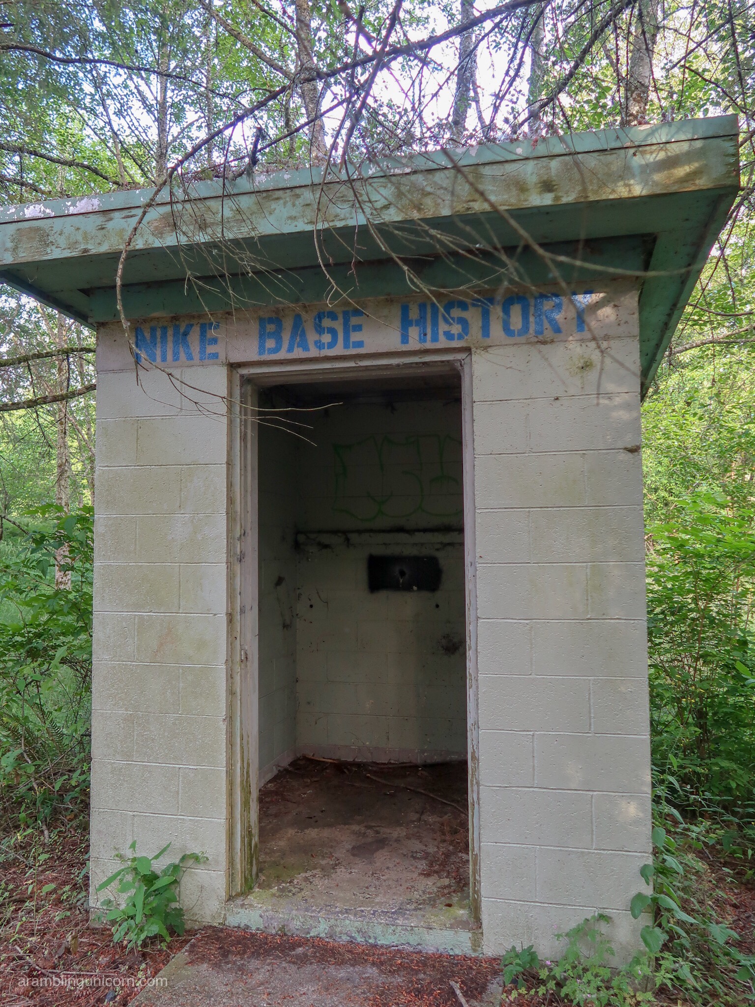
Old building leftover from the Nike anti-aircraft missile defense installation
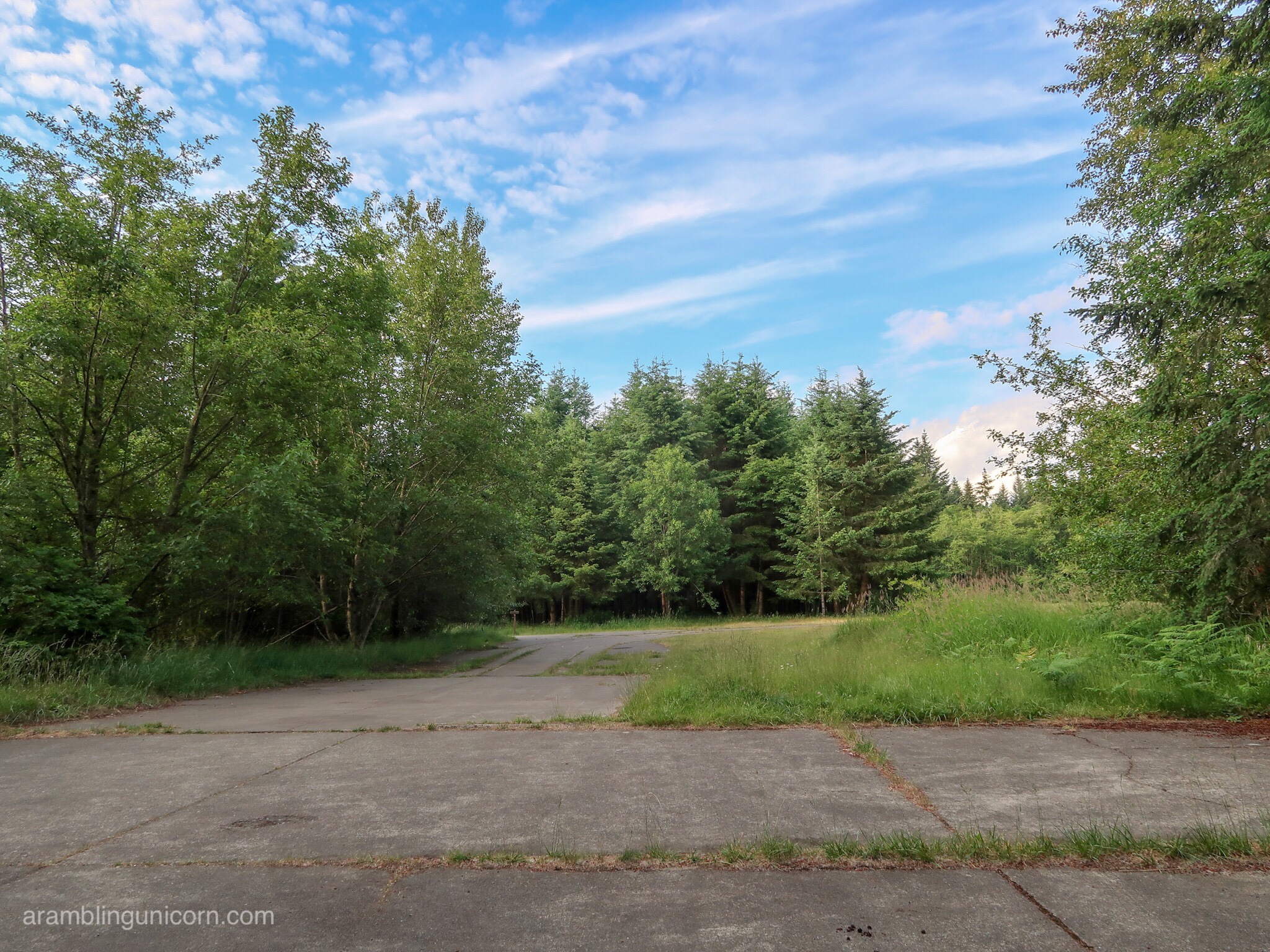
Site of the former military installation
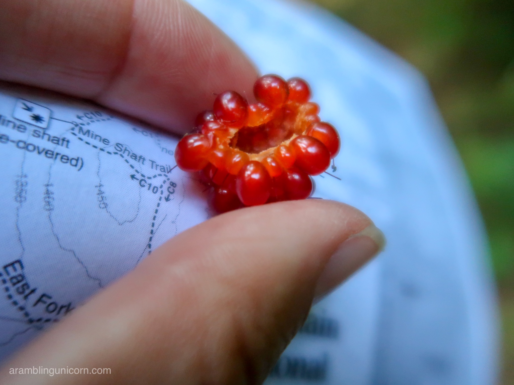
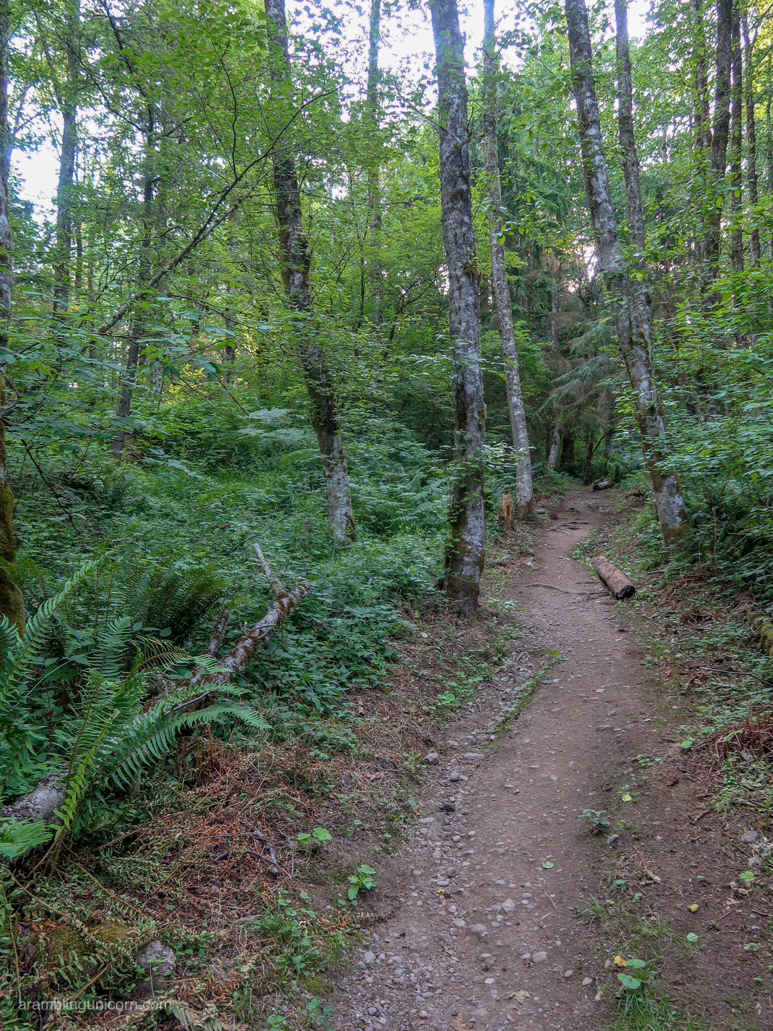
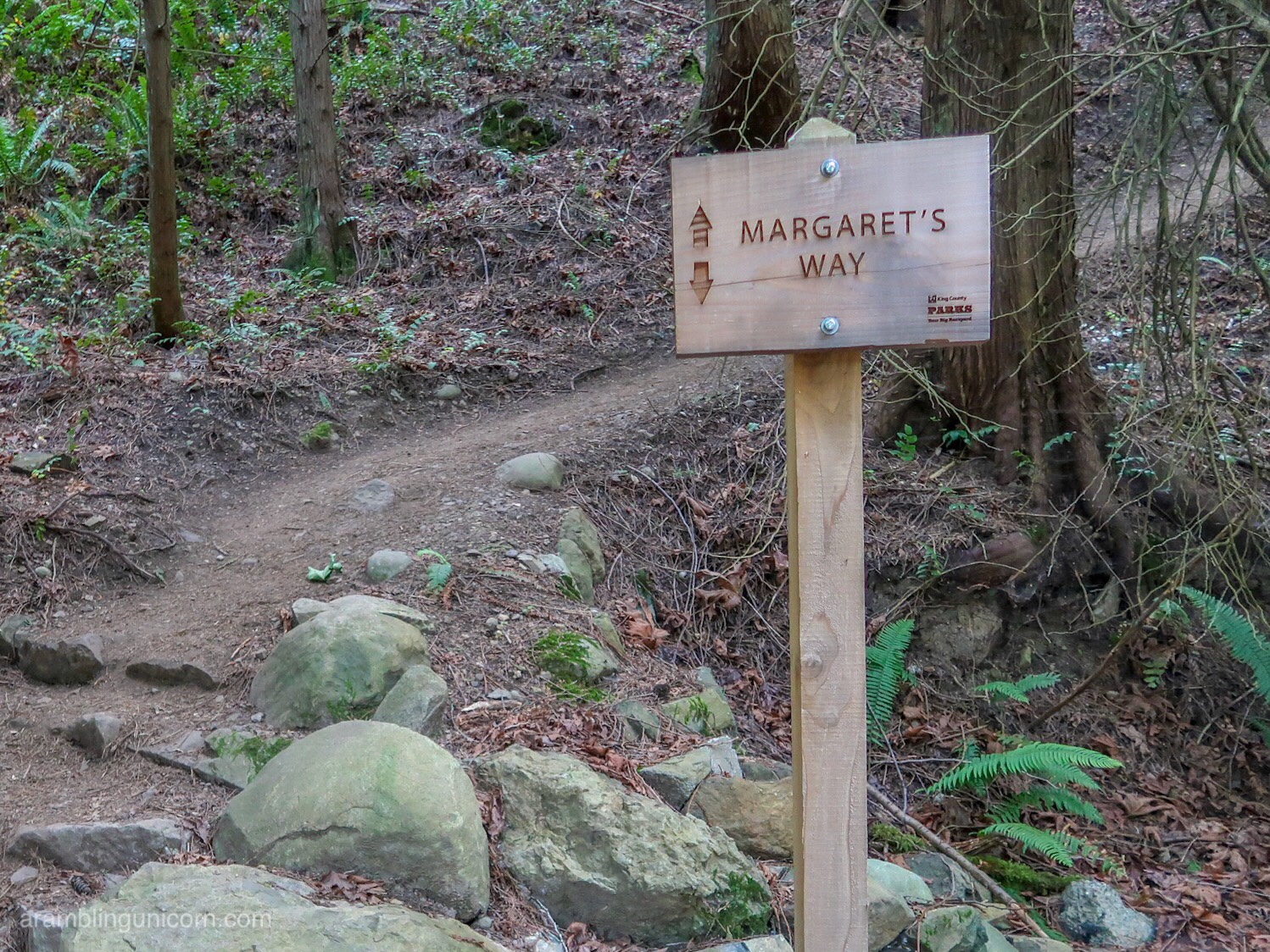
From there I took the Bypass Trail to Fred’s Railroad Trail and then to Shy Bear Trail (so many fun trail names!!). Berry season is in full swing right now and bushes laden with berries are especially thick in this area. I’m *pretty* sure that the berries are salmonberries but I wasn’t 100% sure so I didn’t eat any. Lots of stinging nettles lined the trail in this area too so I kept my distance.
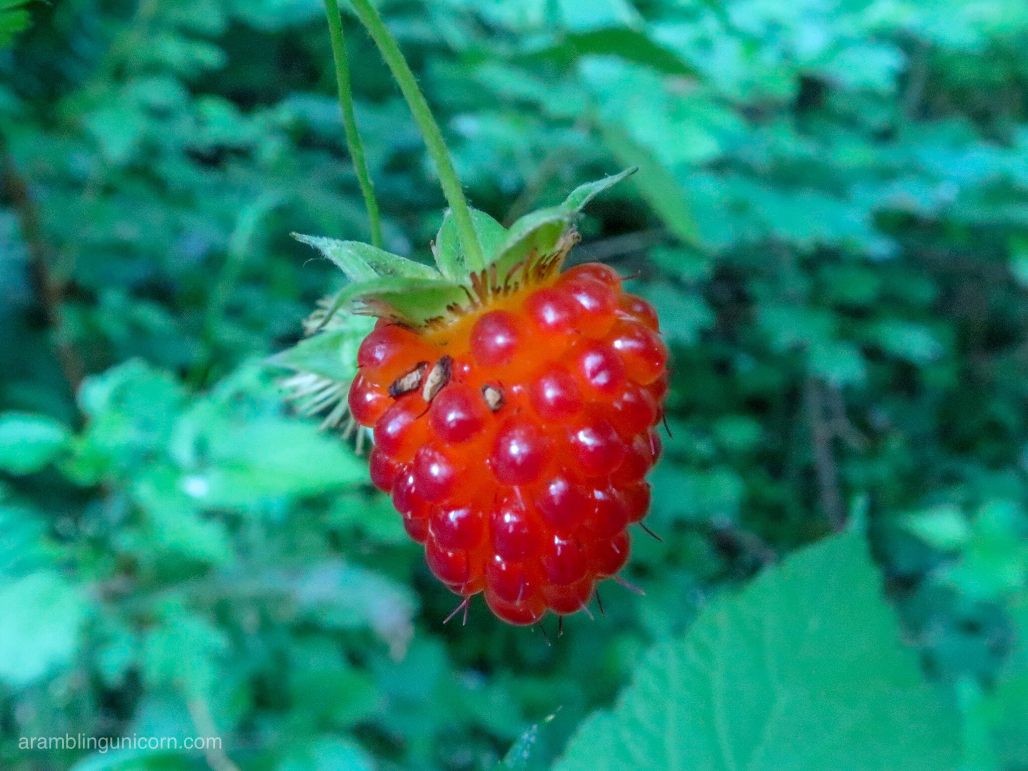
I *think* this is a salmonberry
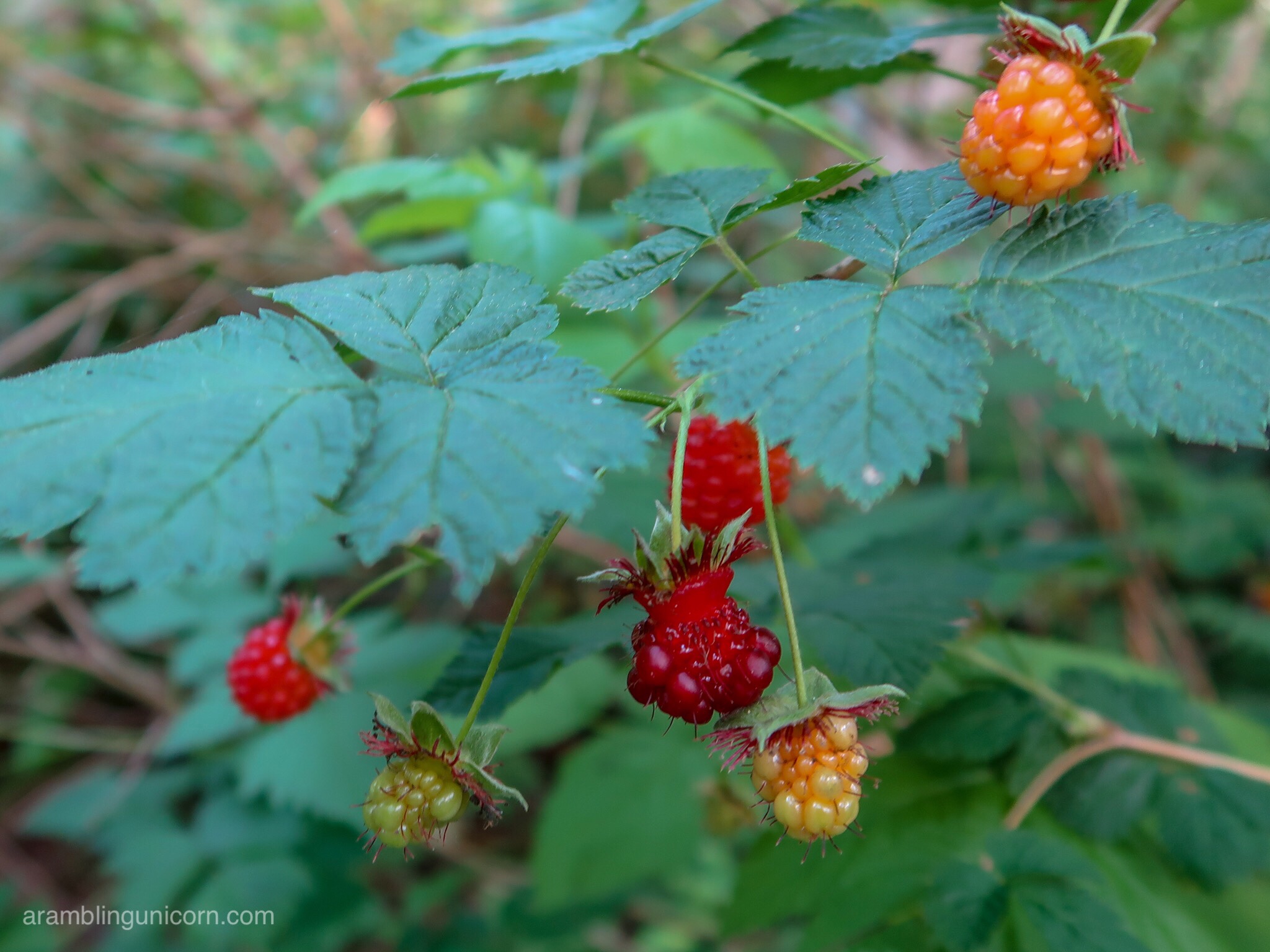
I *think* these are salmonberries. Â Does anyone know?
I want to eat it!  But I didn’t because I don’t want to poison myself…
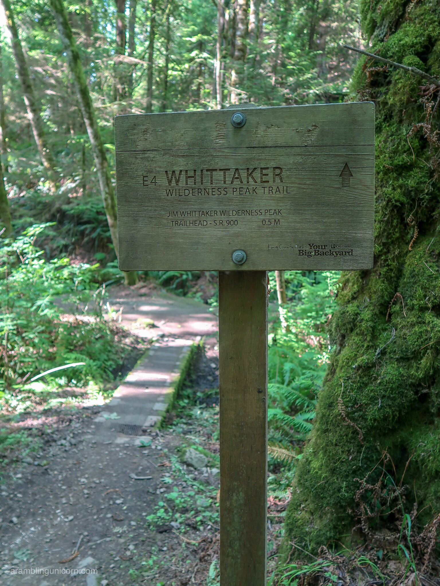
At Shy Bear Pass, I decided to extend my hike and headed up to Wilderness Peak. At 1595 feet, Wilderness Peak is the tallest point in the park and provides a nice resting point – but no view.
Jim Whittaker Wilderness Peak
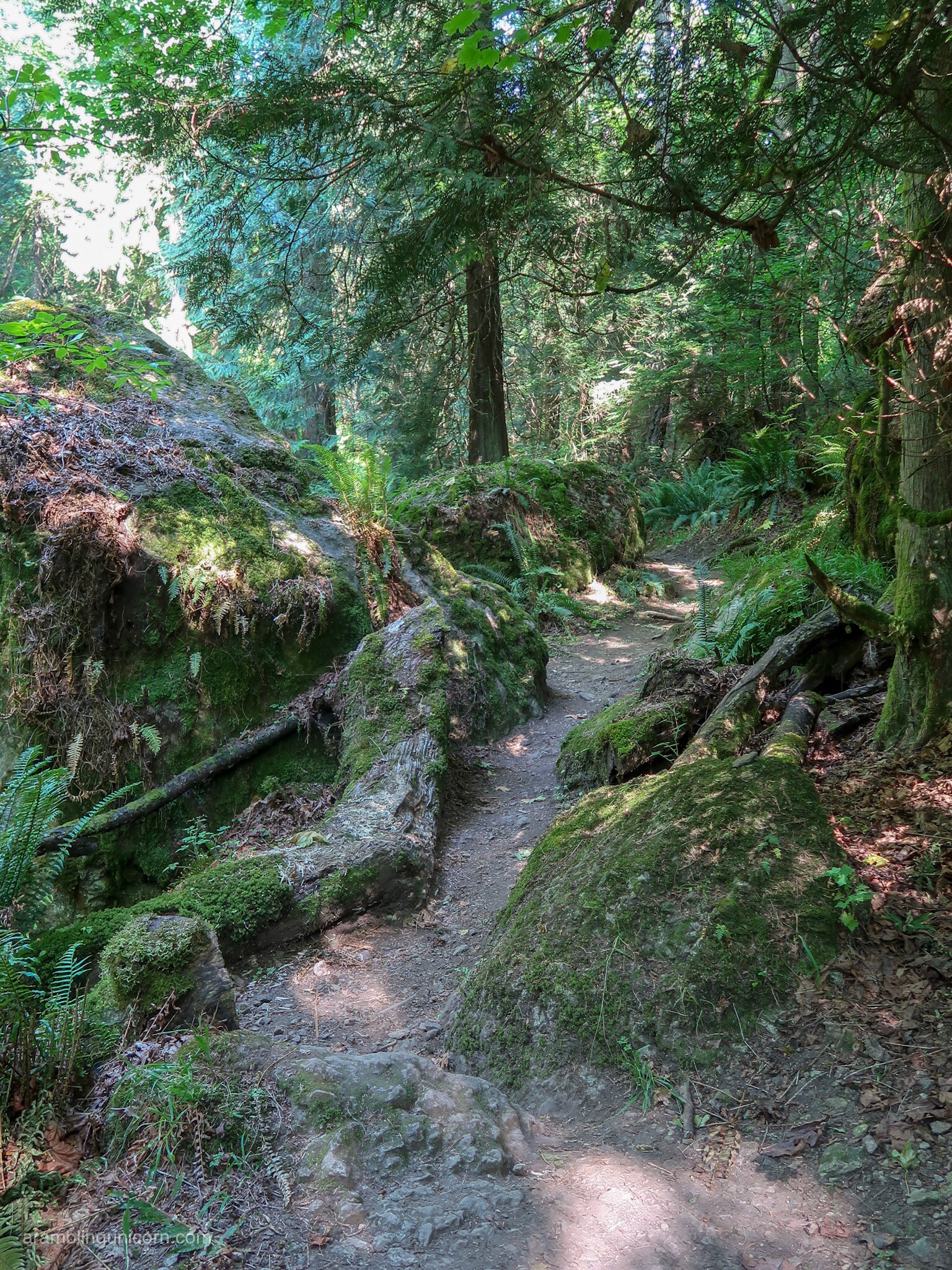
The Wilderness Peak Trail gets steep!
The path continues southeast down the other side of the hill and along the Gombu Wilderness Cliffs Trail. This is the steepest trail that I’ve found so far on Cougar Mountain and descends almost all the way to the Wilderness Peak Trailhead. Before reaching the trailhead, however, I looped northwest towards the Sky Country Trailhead along the Jim Whittaker Wilderness Peak Trail. Here the trail follows several makeshift elevated boardwalks over some muddy patches.
The Wilderness Peak Trail
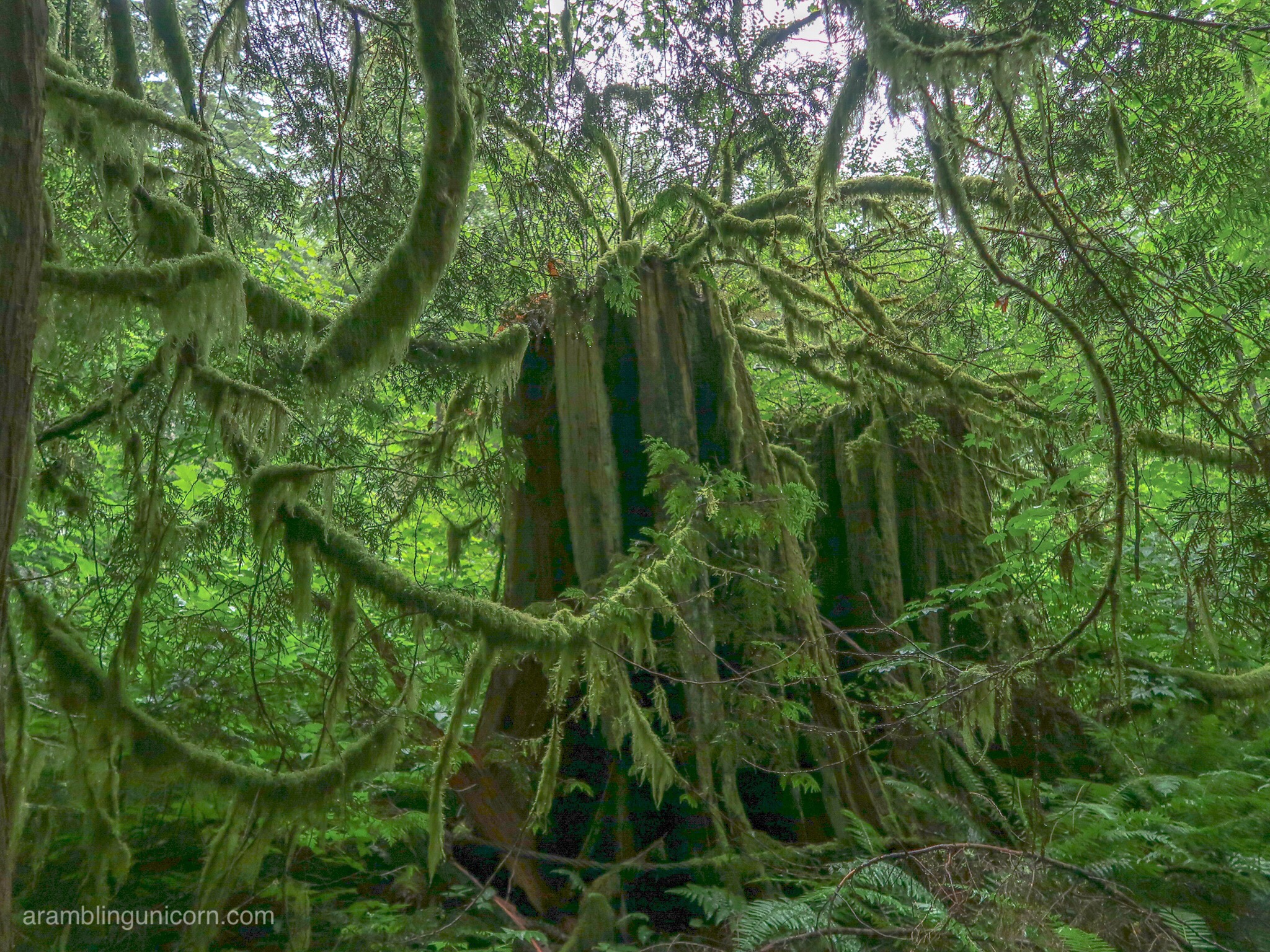
Moss!
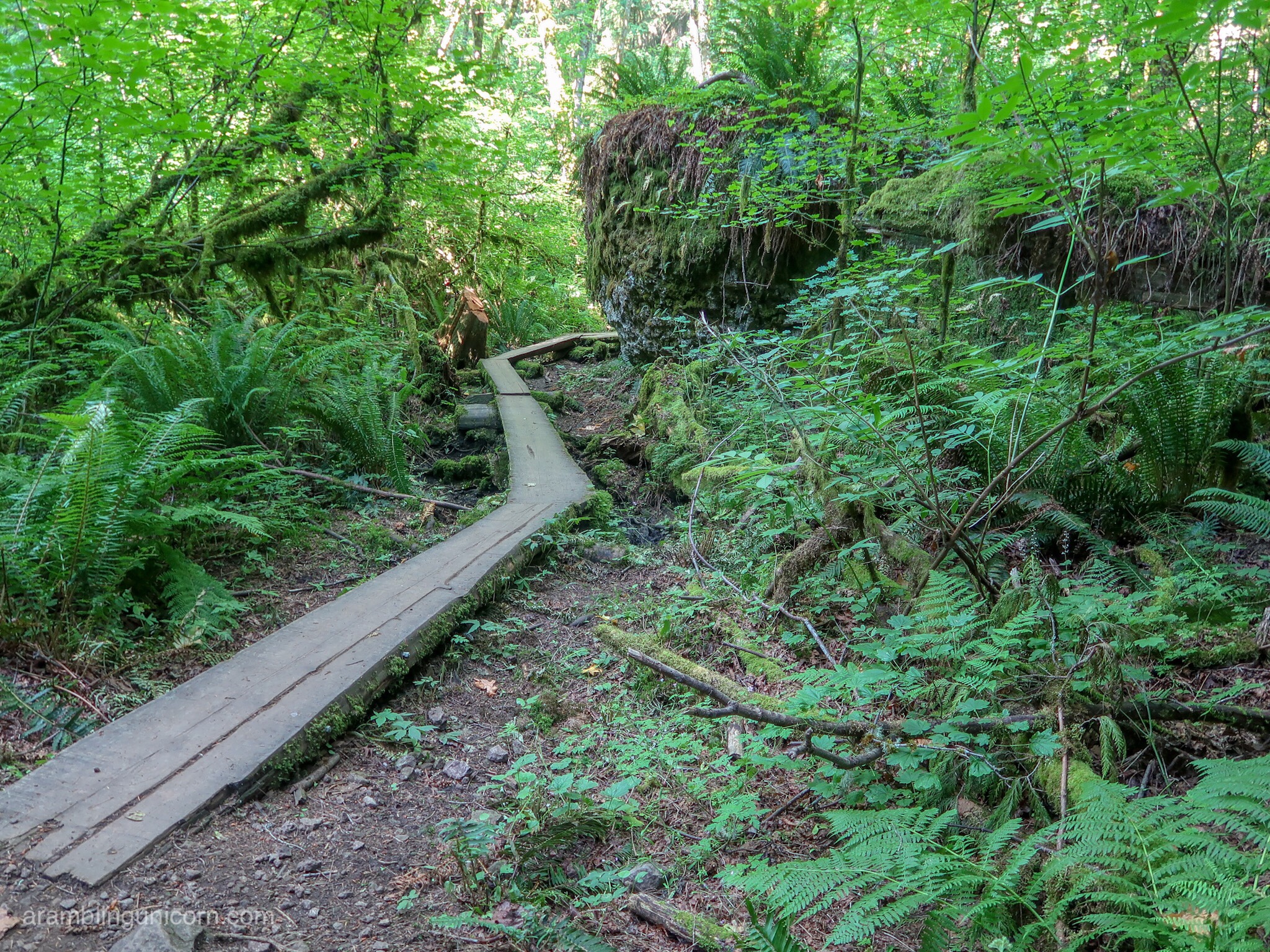
Crossing elevated boardwalks along the Wilderness Peak Trail
I was running short on time, so returned to the trailhead via the Coal Creek Falls and Quarry Trails. The Coal Creek Falls are nestled in a cool, leafy glen and make a nice break spot. The falls are pretty but the water flow isn’t very high right now. I’m looking forward to returning in the winter or spring when the water level is higher.  Also the mosquitoes are a little annoying this time of year – mosquitoes don’t like me very much so I didn’t think they were too bad.  However those prone to mosquitoe bites might want to bring some bug spray or come back at another time of year.
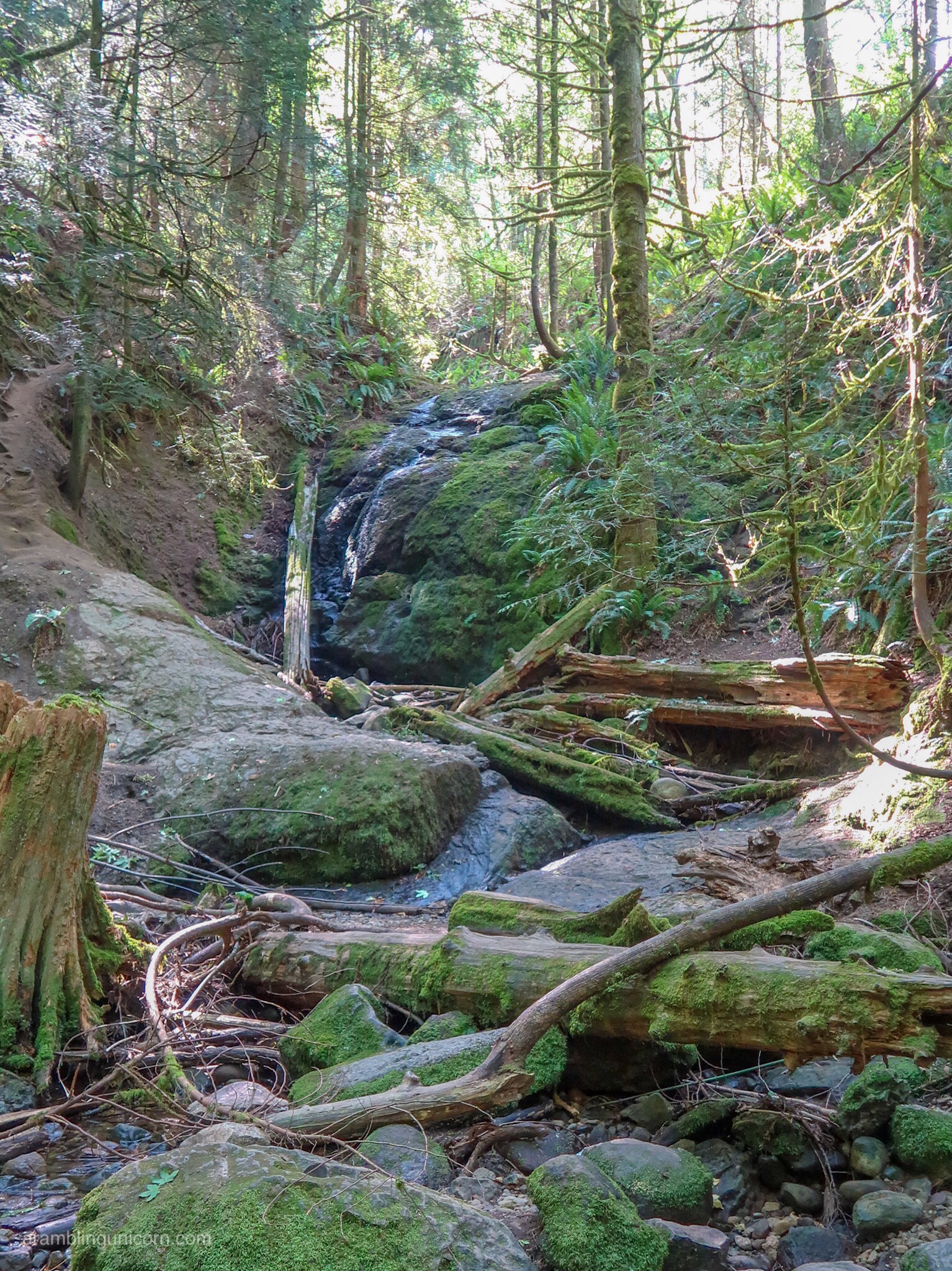
Coal Creek Falls in June
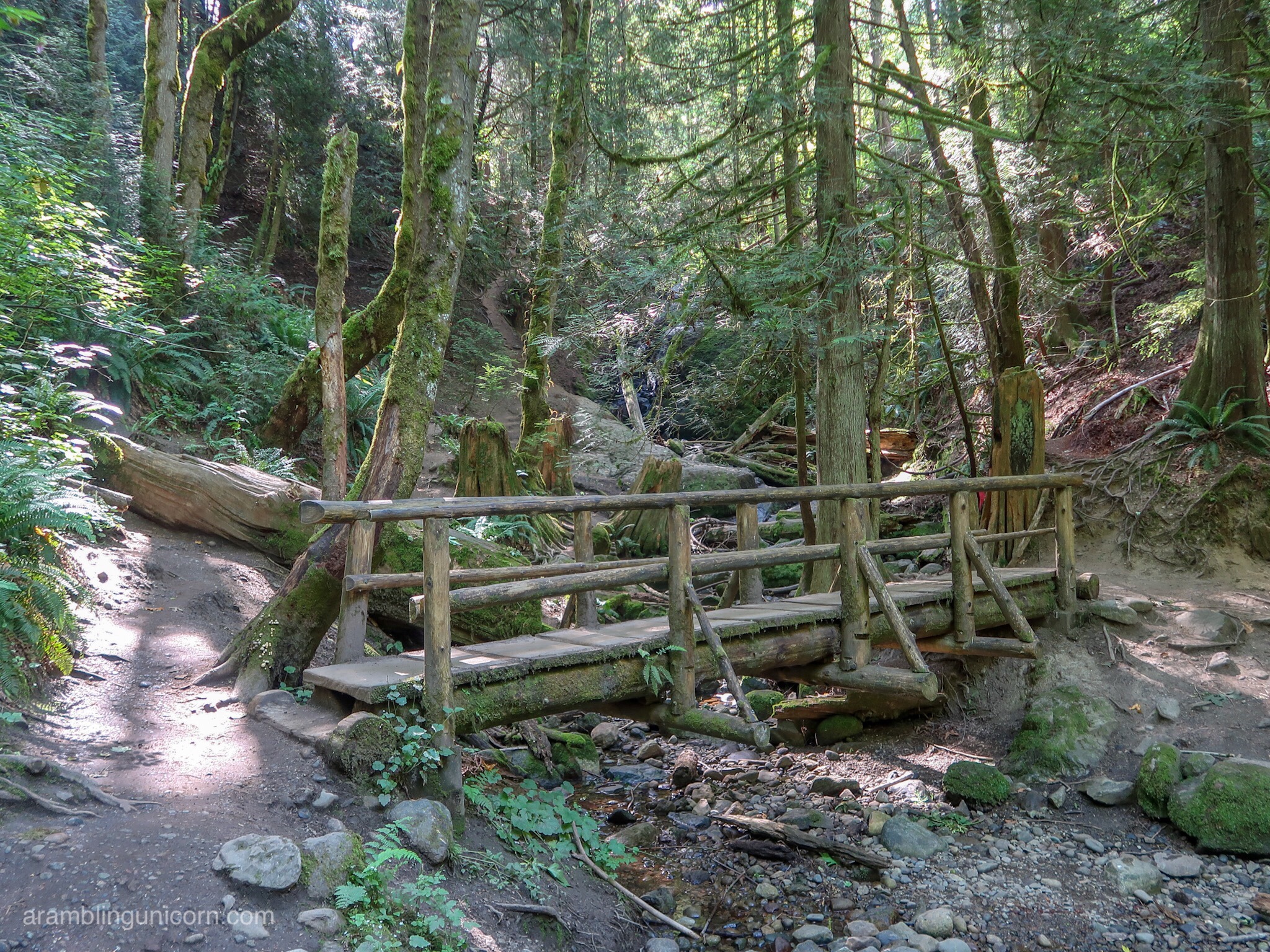
Bridge over Coal Creek
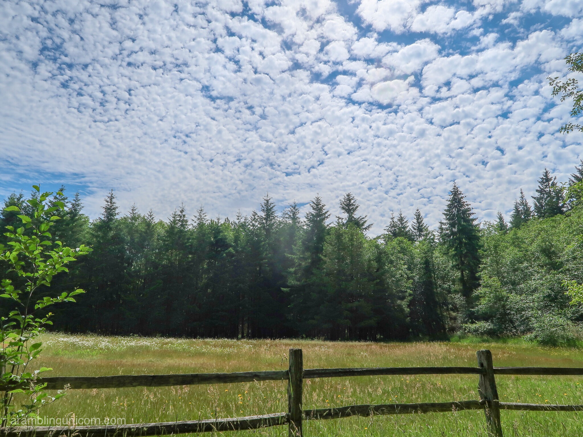
Meadow along the Nike Horse Trail
I poured 3 liters of water out of my backpack and hustled back to the car. As it turns out, carrying a 30 lb training pack and taking lots of pictures tends to slow me down a bit. I always carry at least 4 liters of water on my training hikes so I can easily adjust my pack weight if I need to speed up or if I get too tired.
I’ve been training for several months now and I’m feeling good – and ready for the next step in my training plan! I have a much more challenging hike planned for the upcoming weekend – stay tuned for details!
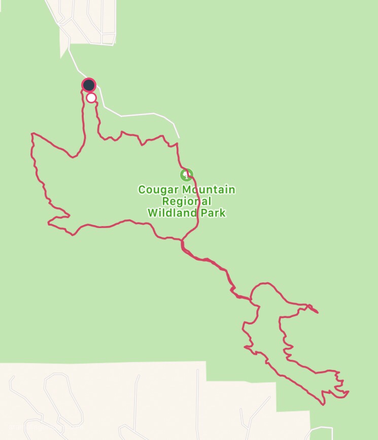
The Route for my Hike on Cougar Mountain

Yes those are salmonberries.
I agree–I call those salmonberries. But are salmonberries good to eat?
Ok good to know! Carly says they are good eating so I’m going to give them a try next time 😊
YES THEY ARE! We have salmonberries all over in S.E. AK and they are delish!
Nice! Ok I’ll give them a try next time.