I slept poorly last night, but when I awoke I was feeling much better. I was even feeling hungry which was a good sign. I wasn’t feeling 100% but I felt good enough to continue hiking. I made some ramen for breakfast and was on the trail around 7:30 am.
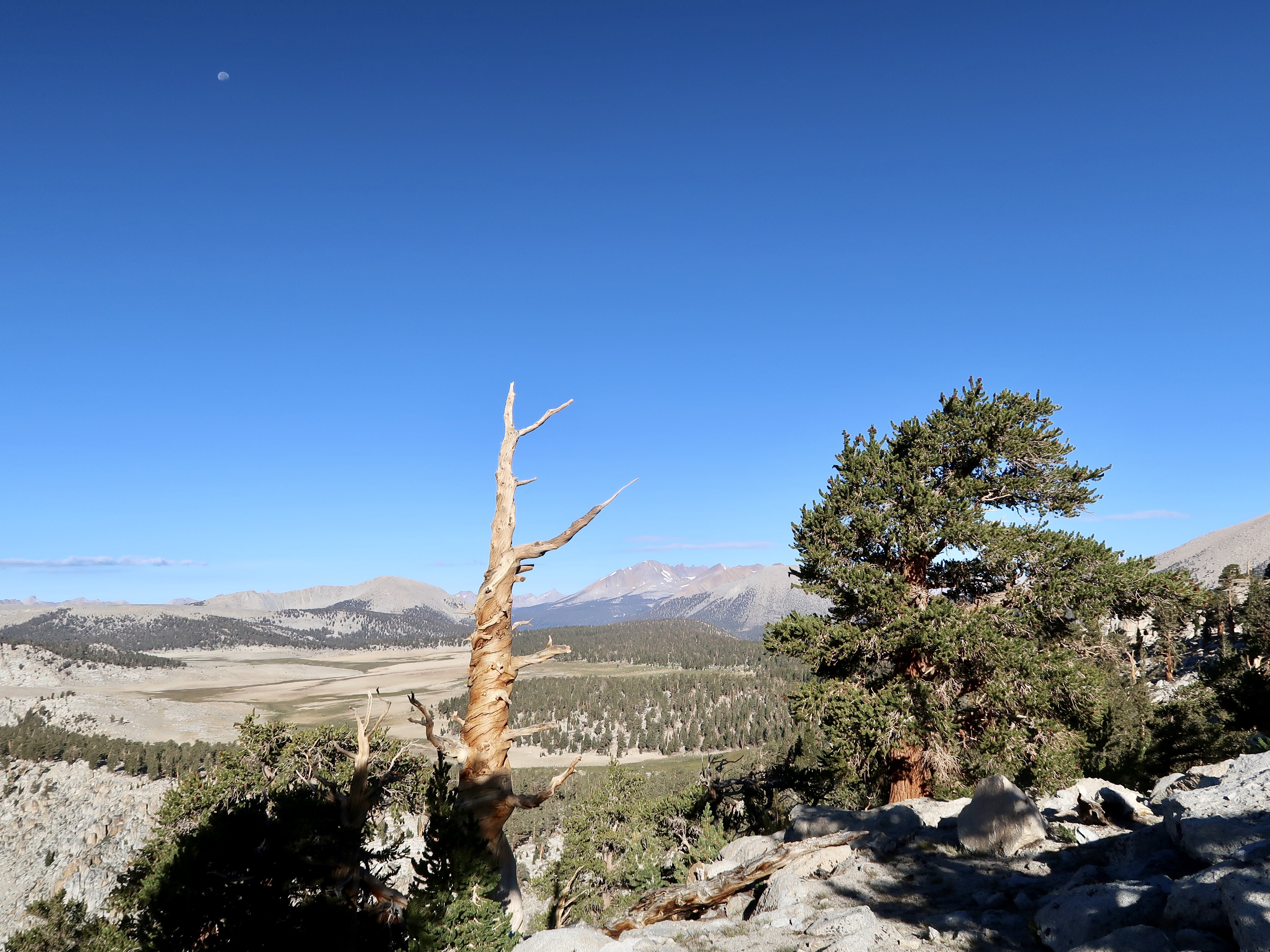
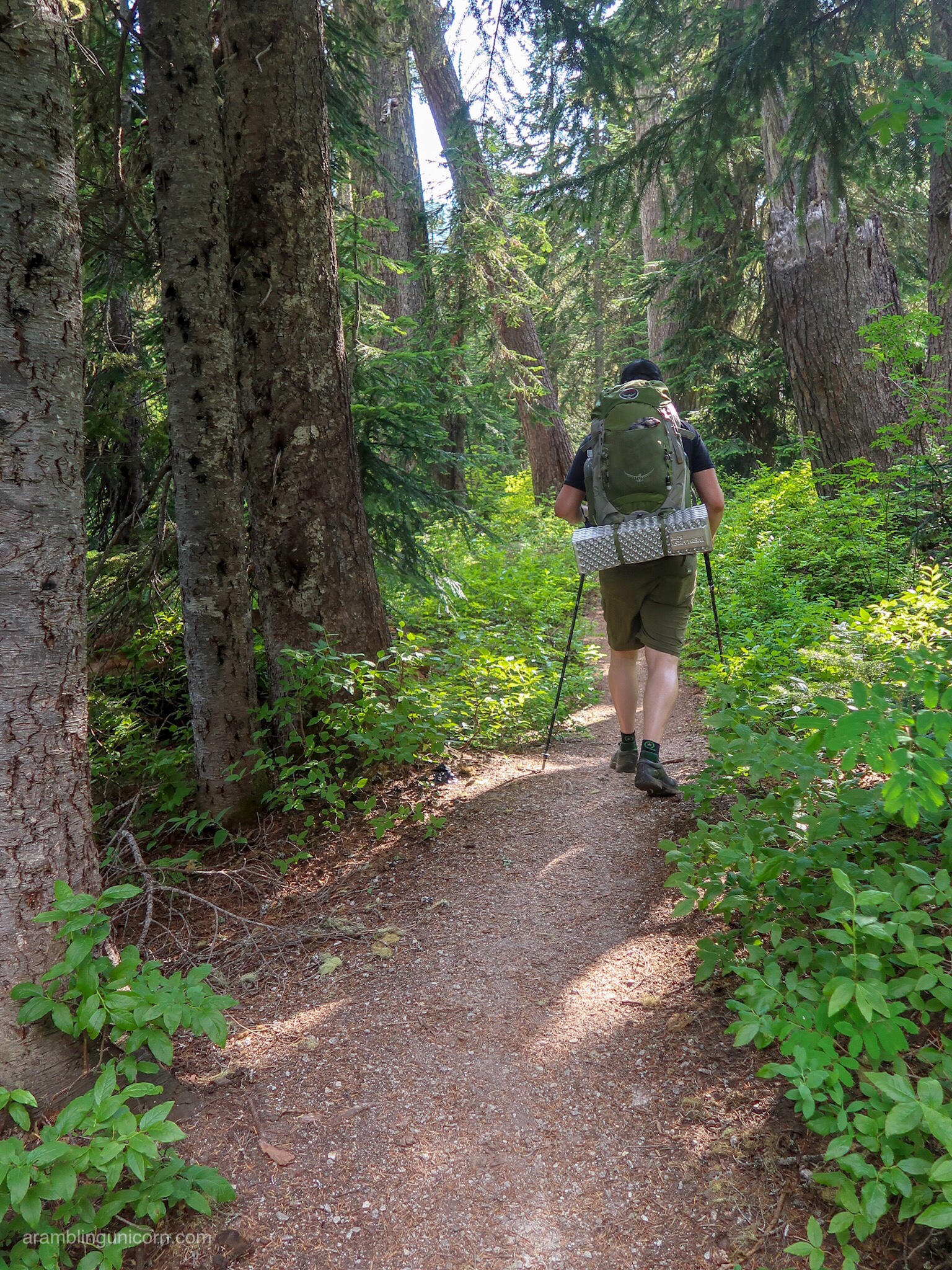
I took it really slow this morning as I was still feeling a little woozy. The trail was relatively flat for a while staying at over 11000 feet as it wound through sparse forests. The path was sandy and fairly easy to traverse. Rocky peaks flanked the trail and distant meadows were visible far down below me.
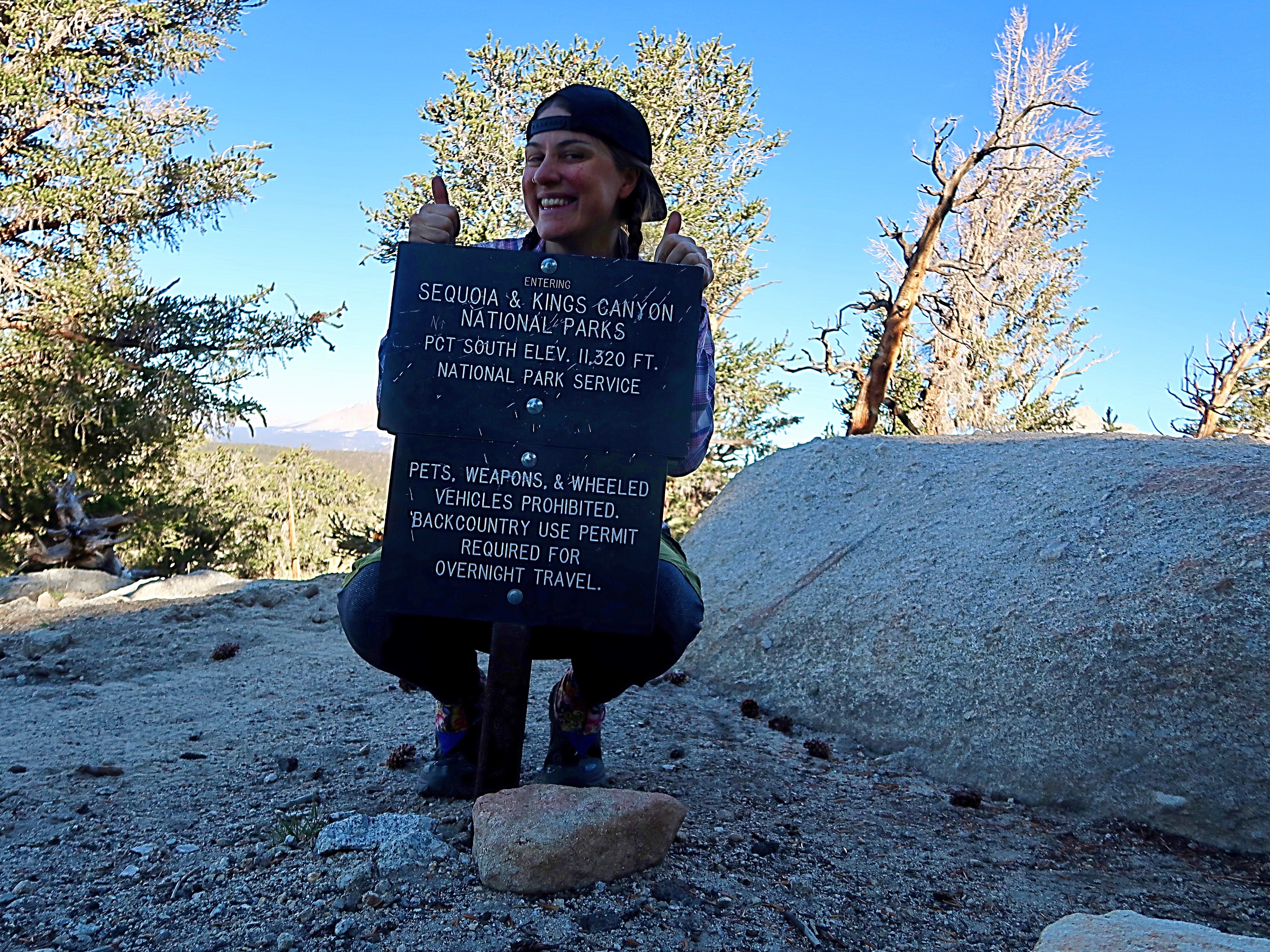
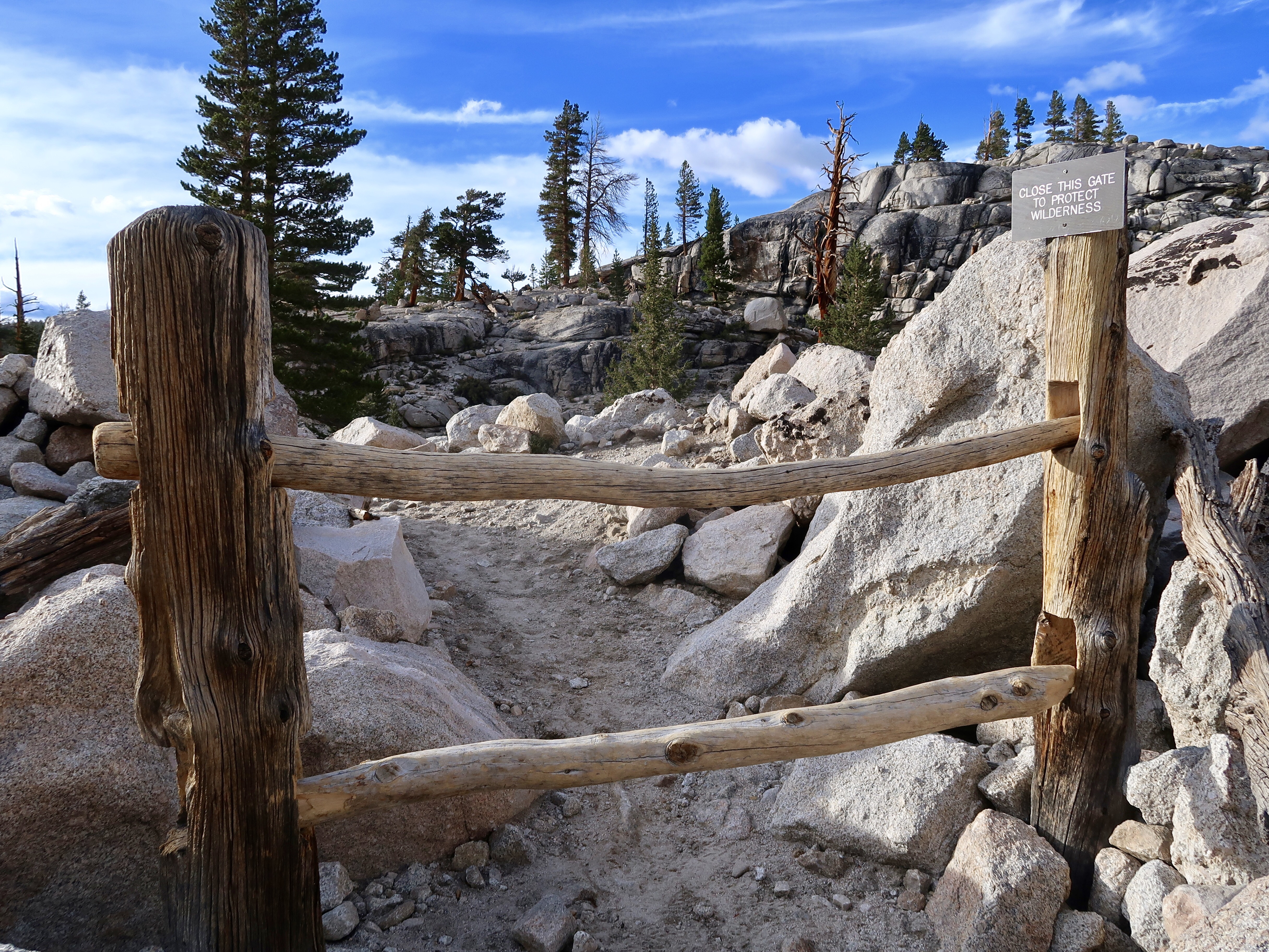
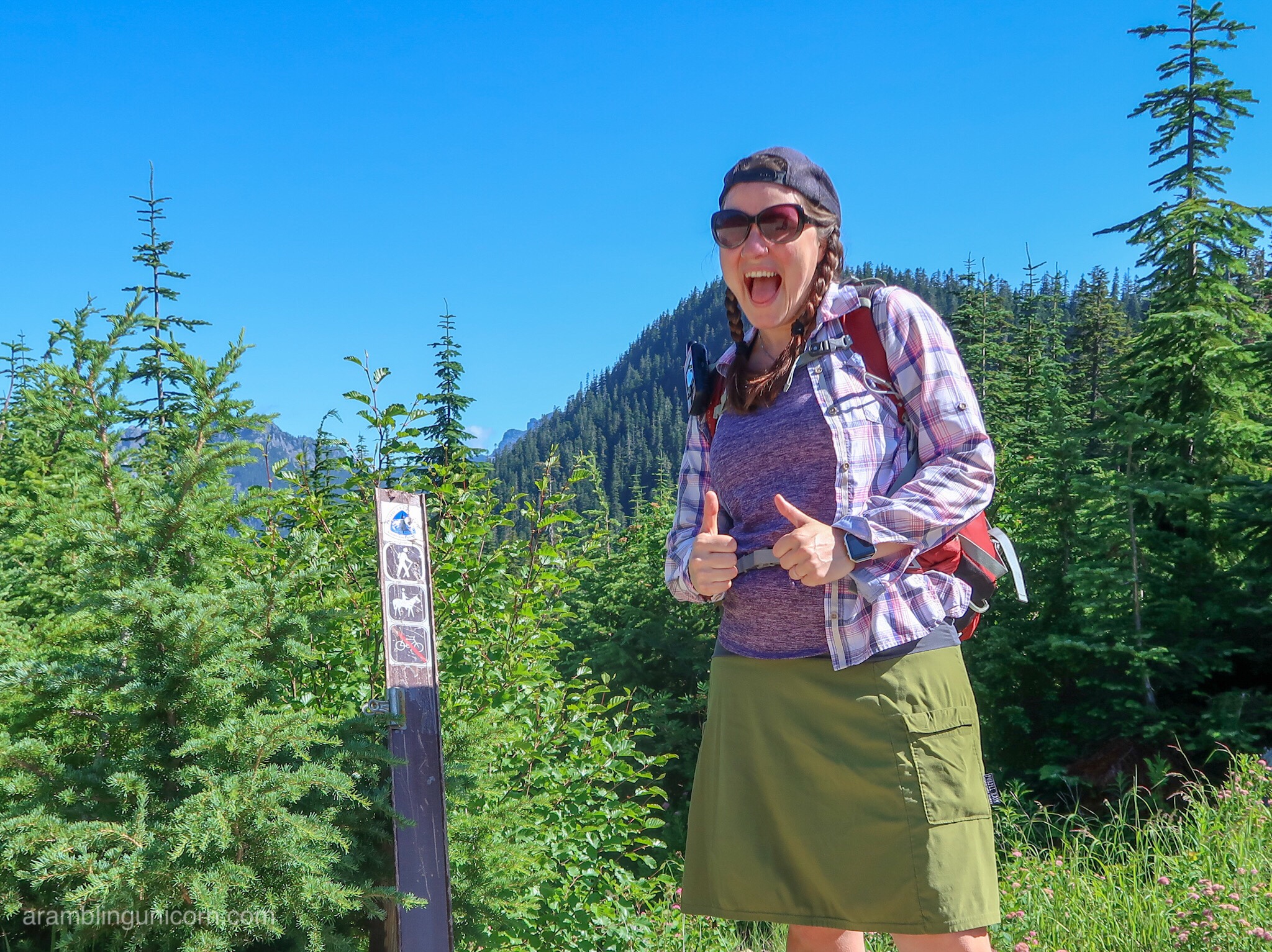
After a few miles, I passed into the boundary for Sequoia and Kings Canyon National Parks. From here on out, I could expect to meet rangers who would ask to see my permit and confirm that I was carrying a bear can. I’ve actually been looking forward to showing my permit to a park ranger. After hiking for 5 months on the PCT, the only time I’ve been asked for a permit is when I ate free pie at the pie place in Julian. And sure enough, I was asked for my permit after hiking only a couple of miles past the park boundary. I was very excited to show it to the park ranger.
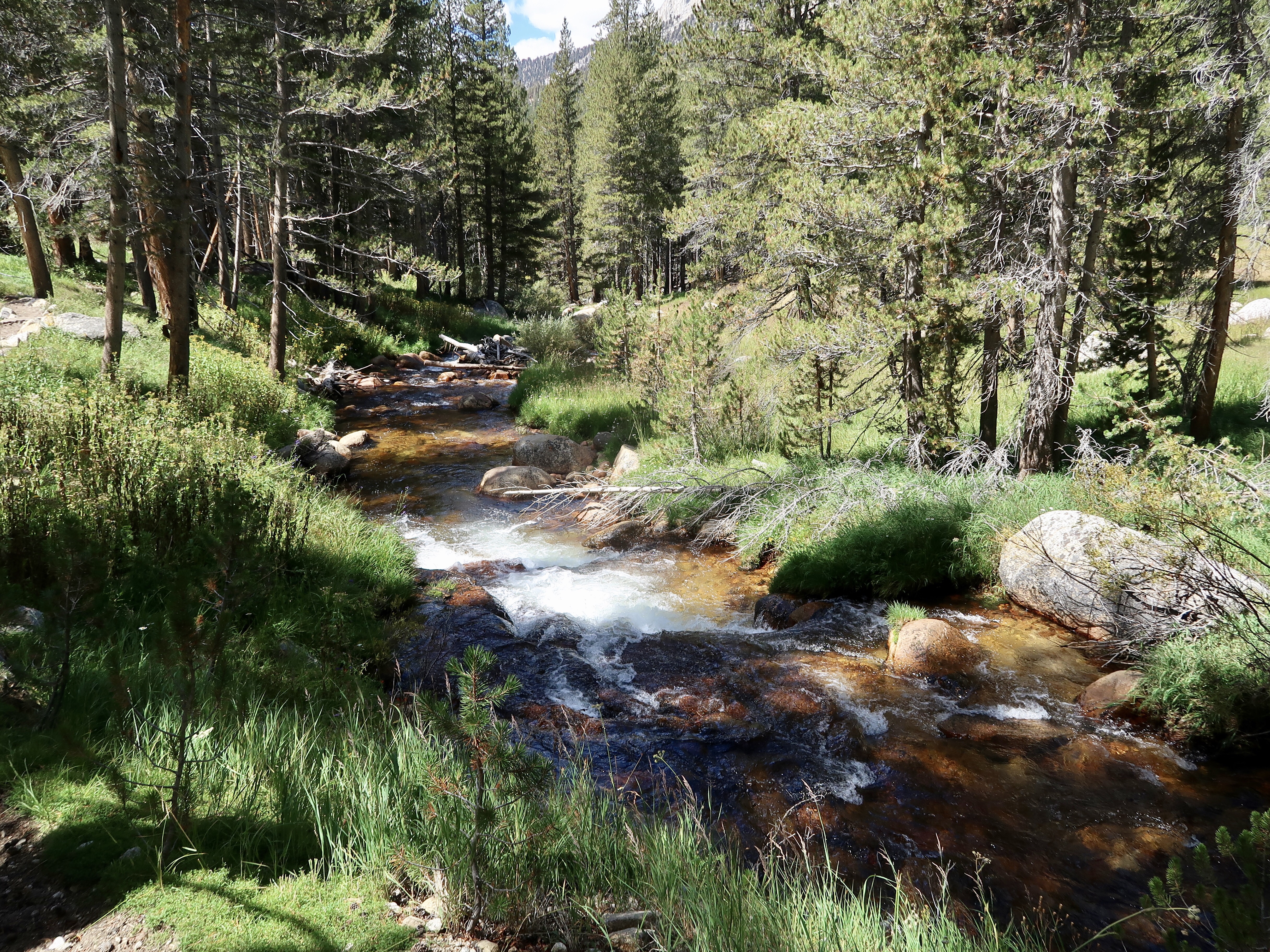
Eventually the trail started dropping in elevation and I began to feel better. The trail dropped down to 9500 feet at the crossing of Rock Creek where I stopped for lunch. I found a log about .1 miles upcreek from the trail to cross on so I got to keep my feet dry. At the crossing I met Mark and Andy from Alaska who are hiking the JMT. They were hiking north too and had also just started hiking the Sierras. It was nice to meet some other hikers who were on a similar schedule.
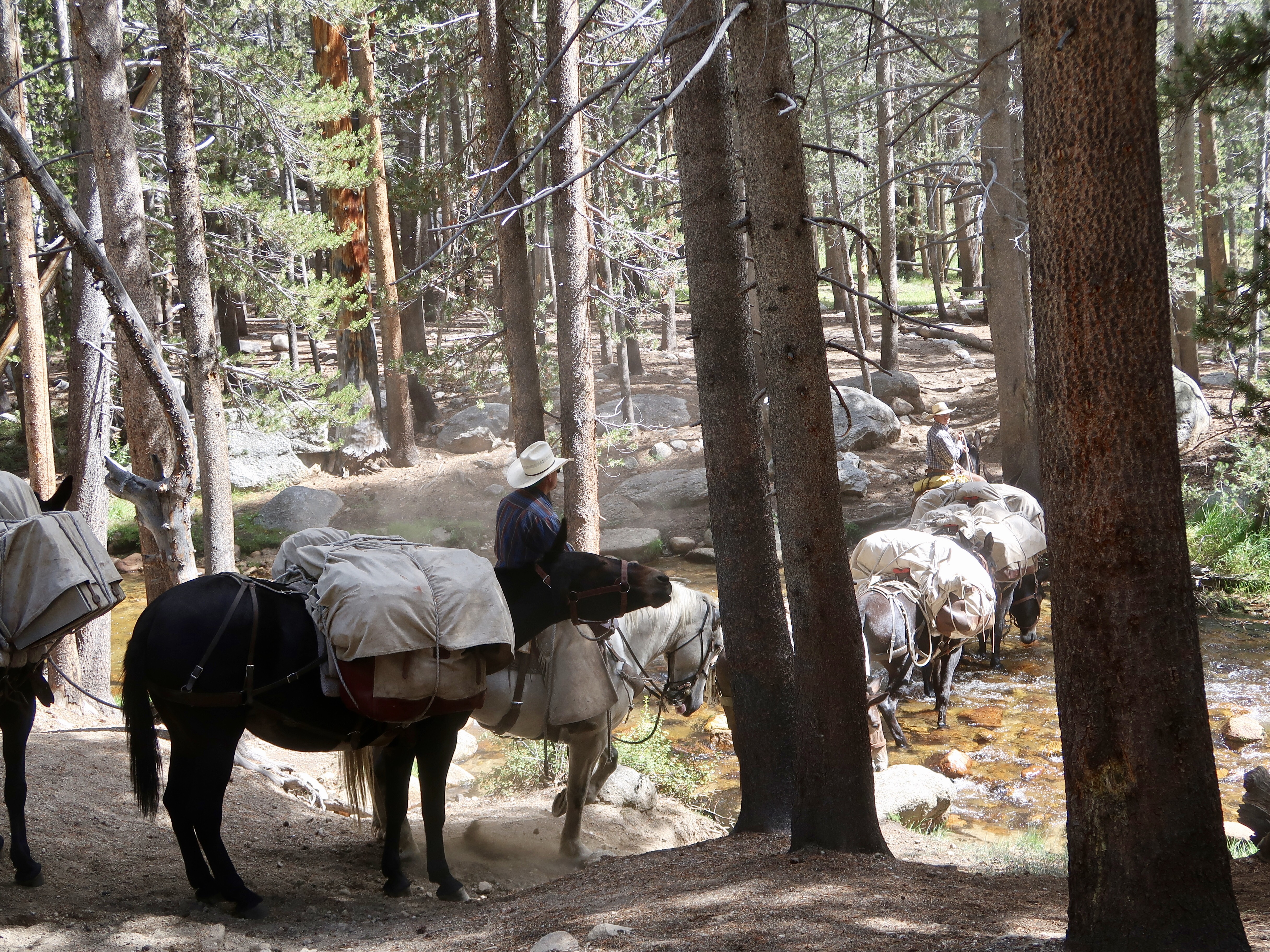
While I was eating lunch, a couple of riders with a bunch of horses roped together came down the path and crossed the creek. The horses had large bundles tied to their backs. I guess that’s how the National Park Service gets food and supplies to their backcountry rangers since it is such a remote area. Â I’ve since learned that hikers can also get resupplied that way too, for a substantial fee.
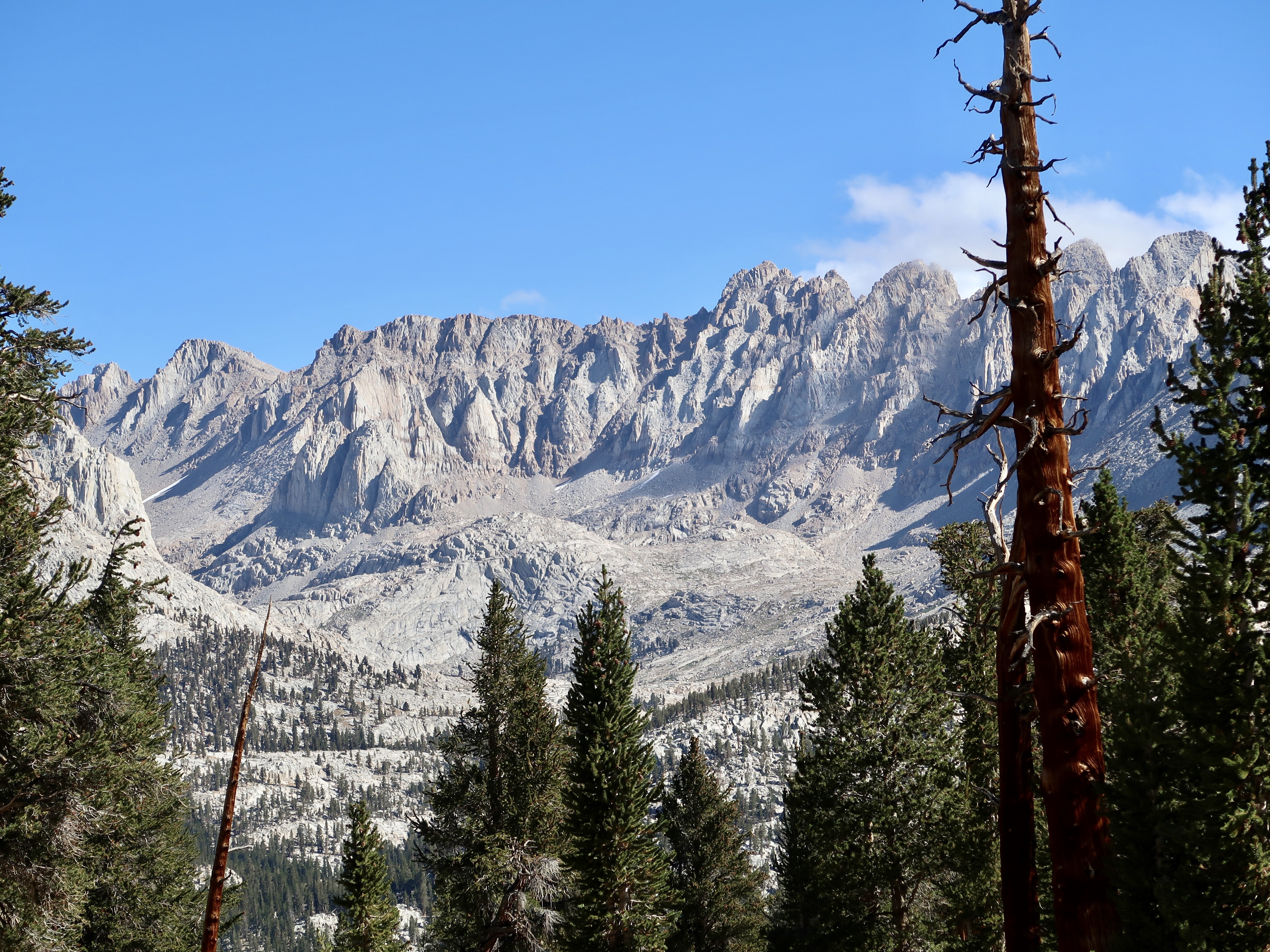
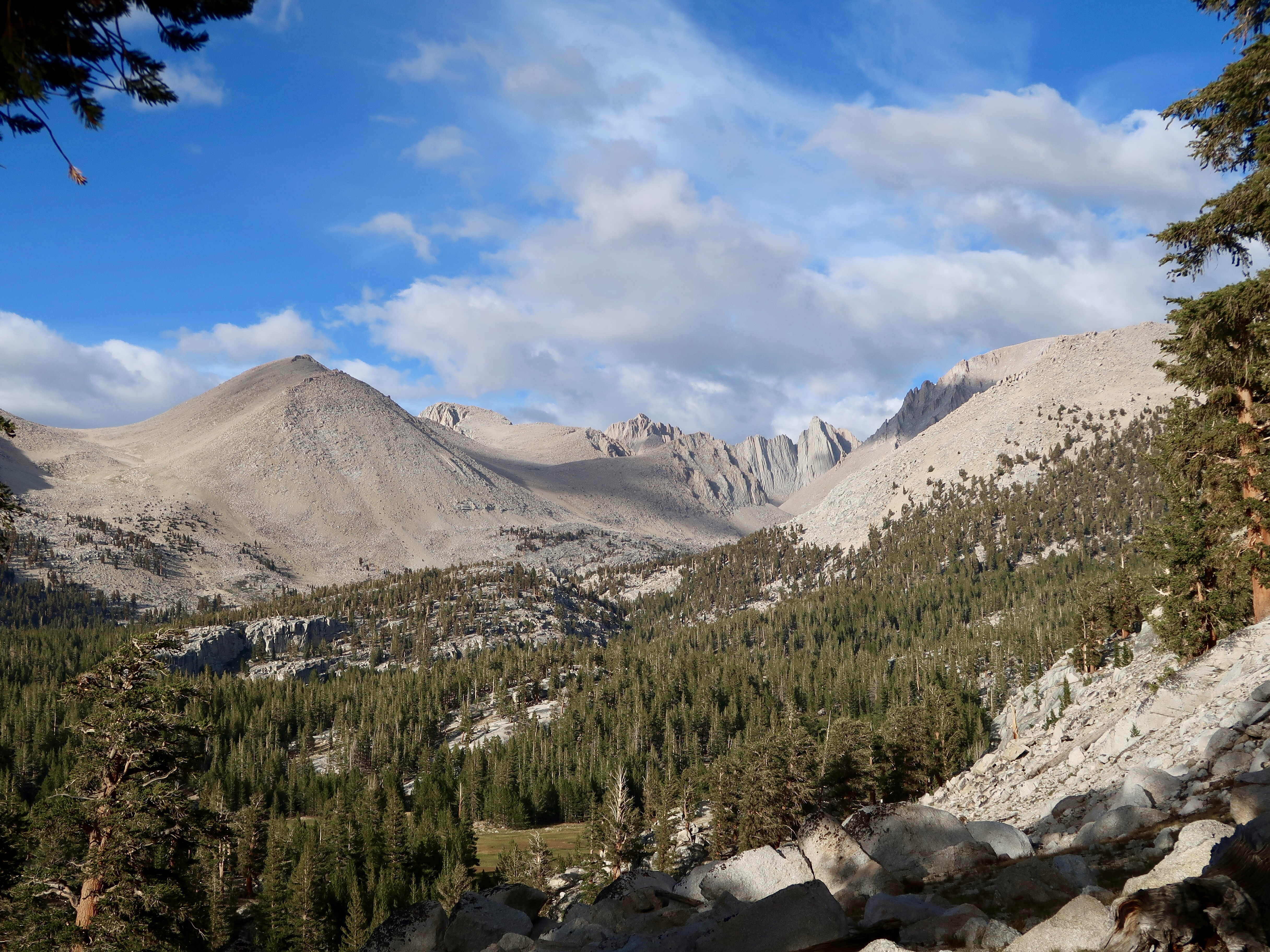
After lunch I had a 1500 foot climb over a ridge, and I was pleased to see that I was feeling better today as I climbed. And when I started my descent on the other side, I felt like I had finally, officially, reached the Sierras. The Sierra Nevadas stretched out before me in the distance, like tall spires on a cathedral. I was reminded of John Muir’s comments on the construction of a chapel in Yosemite National Park. Â He felt that it was ironic to build a chapel in one of the world’s greatest cathedrals. Â I could see what he meant.
I climbed down from the ridge and crossed Whitney Creek. There was no way to cross without getting my feet wet, but the bottom was sandy so I took my shoes off and went across barefoot. The water barely even reached my calves.
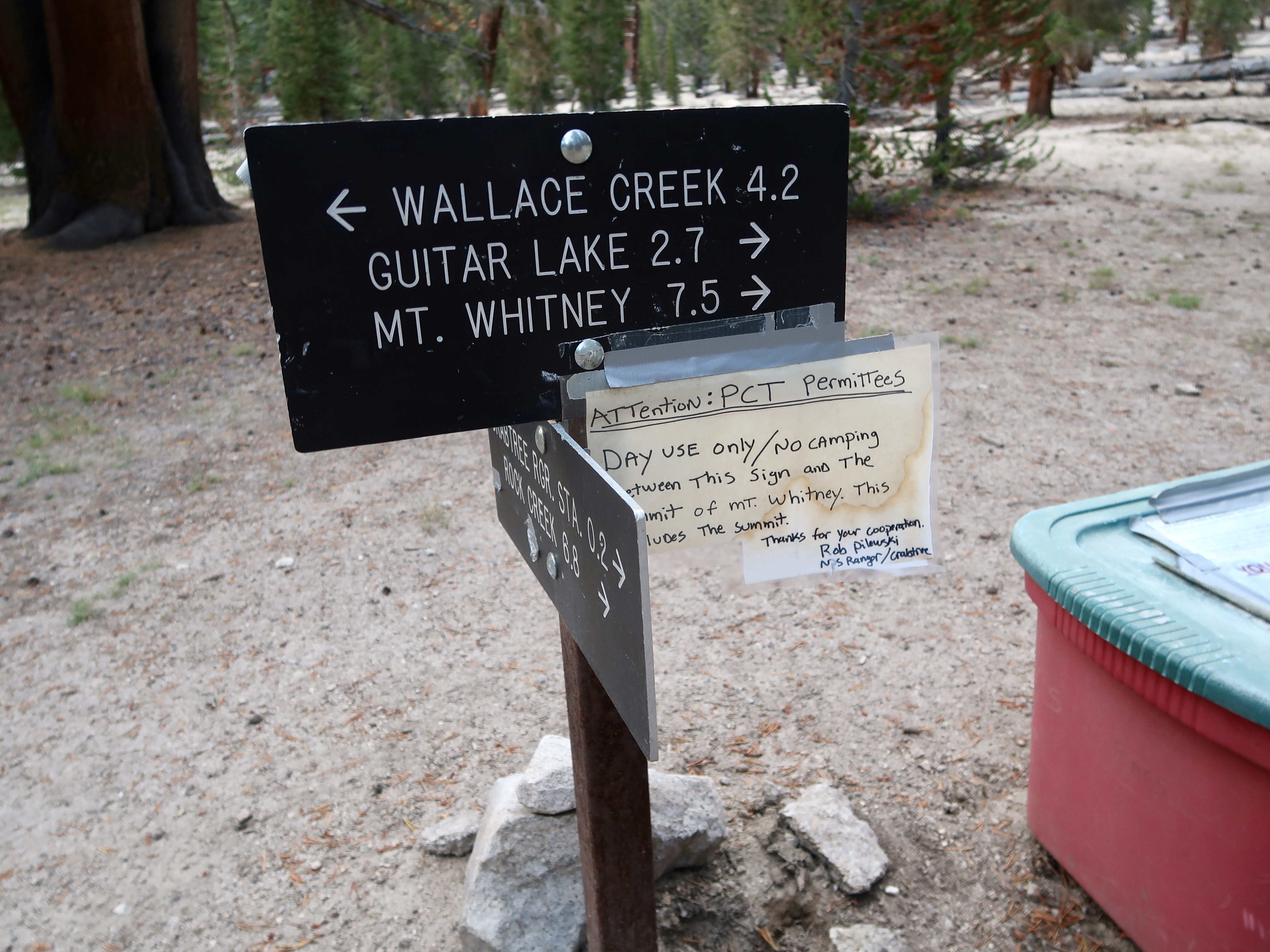
From here I left the PCT and took a junction to Crabtree Meadow. I had planned to continue hiking to Guitar Lake so I would have a shorter ascent to Mt. Whitney tomorrow, but a posted sign stated that PCT hikers were not permitted to camp east of here. It was just as well as it was already getting rather late. So, I set up camp and settled in for the night.
I was excited and anxious about summiting Mt. Whitney tomorrow. I tried to fall asleep early but stayed up making lists of things to bring on my hike.
Squeee!!
PCT 2017 Stats
PCT Day 150 – Sunday, September 10
Mile 752.2 to Crabtree Meadow Mile 766.3
PCT Miles Hiked Today: 14.1
Non-PCT Miles Hiked today: 1.2
Total PCT Miles Hiked: 1636.6
Feet Ascended Today: 2312
Feet Descended Today: 3067
Current Elevation: 10642
Steps: 50735
For more on my experience hiking the Pacific Crest Trail, visit my Pacific Crest Trail 2017 Blog page:




I spent the whole last summer covering nearly every corner of the Sierra for my latest book. They are magnificent and, for my money, the greatest mountains in the world. Enjoy the ride!