
After our visit to Michigan’s Upper Peninsula, Daniel and I headed south. It was time to make some serious progress towards our next destination in Ohio. We drove 282 miles across the state on our longest single driving day yet.
We also visited the Old Mackinac Point Lighthouse where I checked my third great lake off the list: Lake Huron!
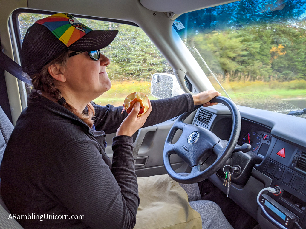
This apple is delicious
Good-bye, Upper Peninsula!
We began the day with a drive across the Upper Peninsula to reach the Mackinac Bridge. The weather was all over the place, raining one minute and sunny the next.
Lucky for us we reached the bridge in between rainstorms and got a second chance to view the Mackinac Bridge.
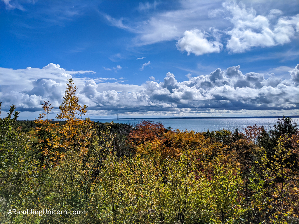
Mackinac Bridge as viewed from the Upper Peninsula on a scenic pullout
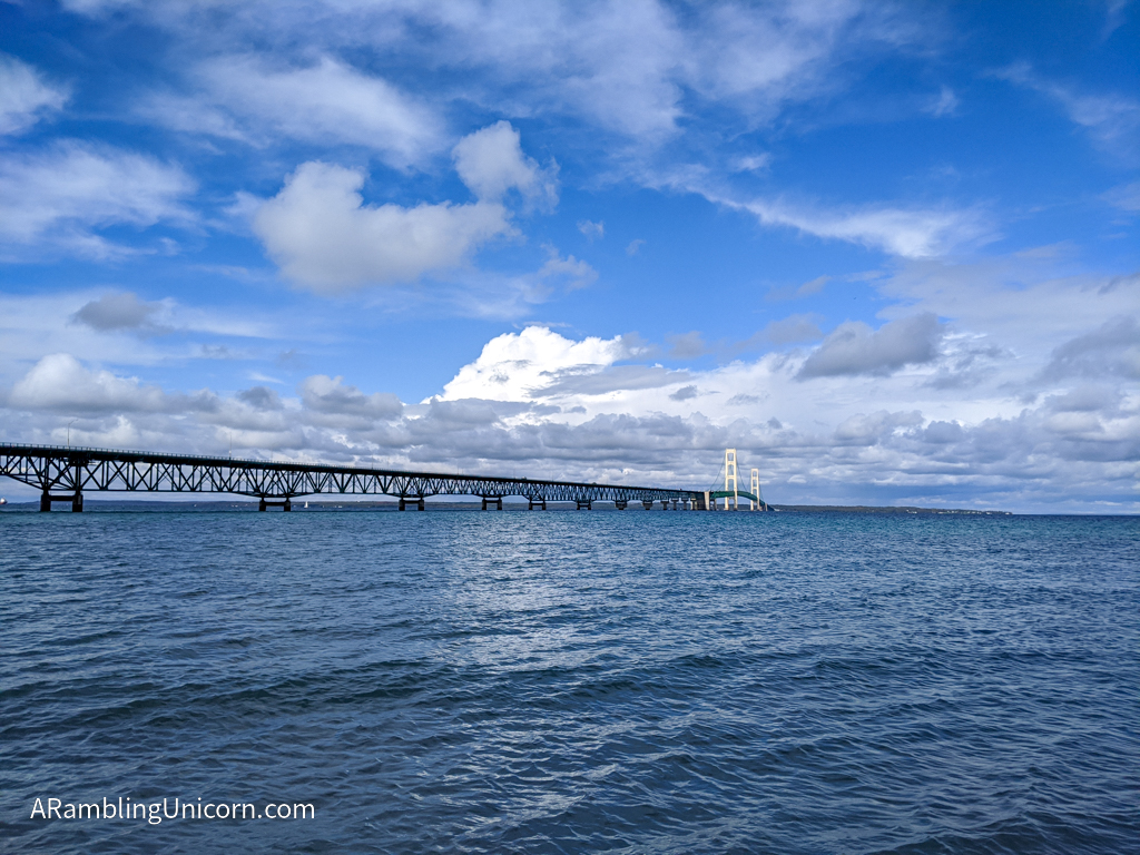
Mackinac Bridge as viewed from the Old Mackinac Point Lighthouse
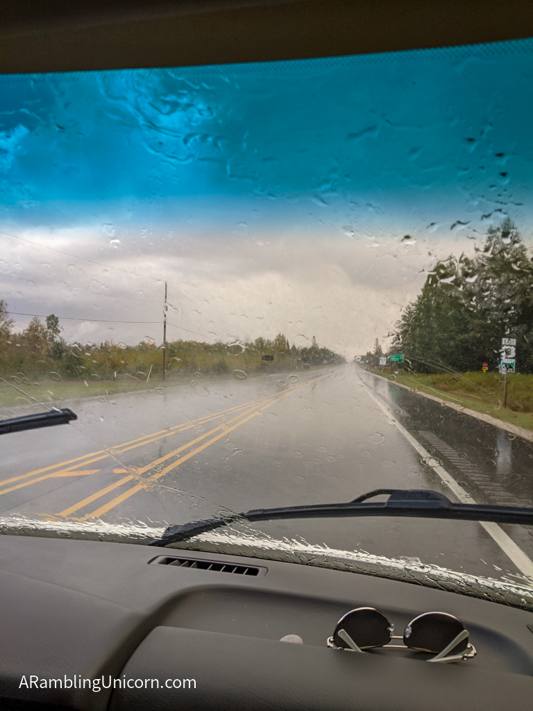
The weather can’t make up its mind today
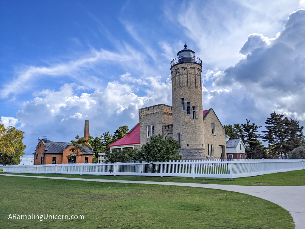
Old Mackinac Point Lighthouse
Last time we crossed the bridge, we stopped at the aptly-named Bridge View Park on the north side of the bridge to take photos. This time, we stopped at the Old Mackinac Point Lighthouse on the south side.
This was an even better spot for photos because it was a closer view of main bridge span. Plus we got to see a cool lighthouse!
Originally constructed in 1889, the Old Mackinac Point Lighthouse started as a fog station and was converted to a lighthouse a few years later. Until it was decommissioned in 1957, the lighthouse was instrumental in aiding ships navigate the treacherous waters of the Straits of Mackinac.
Old Mackinac Point Lighthouse with moody clouds in the background
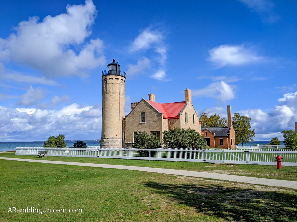
Old Mackinac Point Lighthouse viewed from another angle
Lake Huron
The Old Mackinac Point Lighthouse also marks the boundary between Lake Michigan and Lake Huron. As I’m on a mission to put my feet in all of the Great Lakes, this presented a golden opportunity to do so.
Three Great Lakes down, two to go!
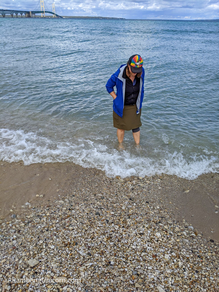
My third Great Lake: Lake Huron!
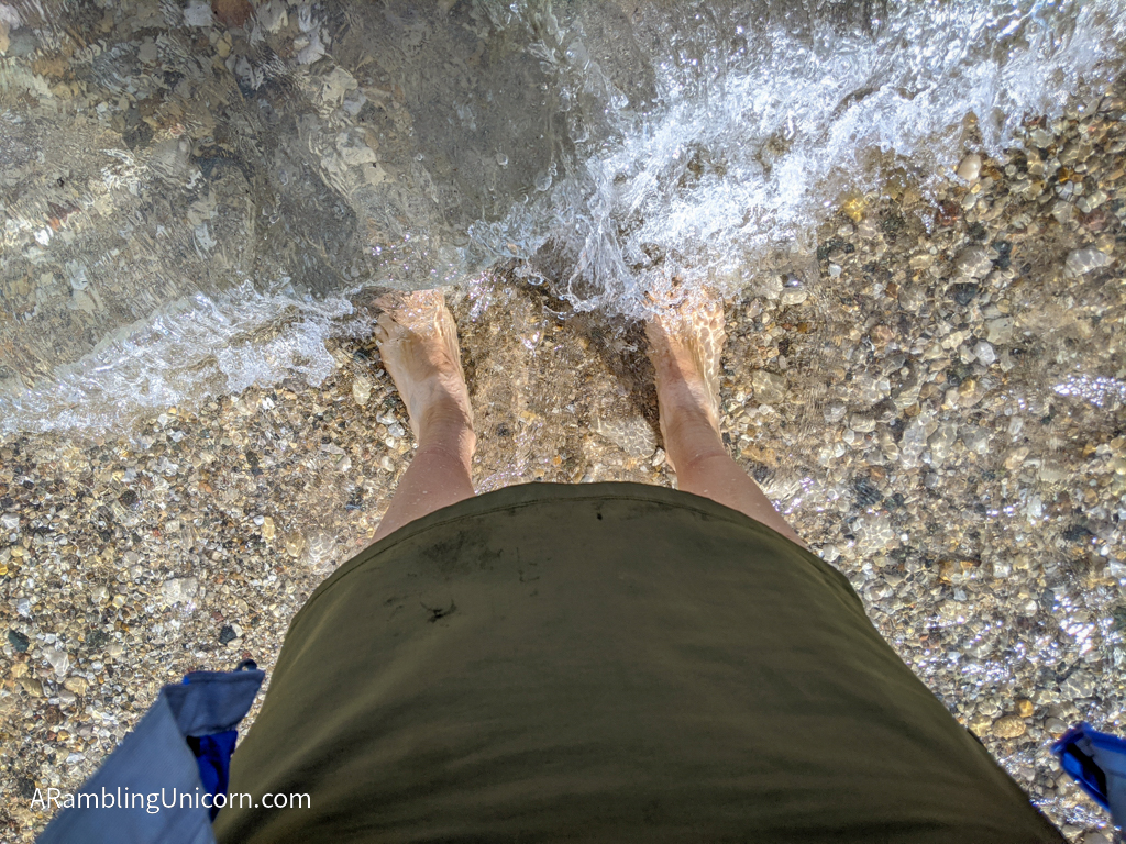
Brr that’s cold!
A Hotel Day in Bay City (which is NOT the home of the Bay City Rollers)
Daniel and I ended the day at the AmericInn hotel in Bay City. We chose Bay City because the temperature was forecast to drop below freezing in Michigan’s interior at night. Bay City’s location on Saginaw Bay meant it would be slightly warmer. We don’t want our pipes to freeze.

We arrived at the AmericInn just as a thunderstorm hit
Bay City was also made famous by the 70’s pop band Bay City Rollers. I was a little confused by this since the band is from Scotland, not Michigan. Well, according to MLive, “music lore states the band, originally named the Saxons, threw a dart at a United States map and it landed on Bay City. They then changed their name.”
I don’t know if that’s true or not but it’s a fun story.
Too bad we weren’t staying in Bay City on a Saturday Night. That would have been too perfect.
Where are we now?
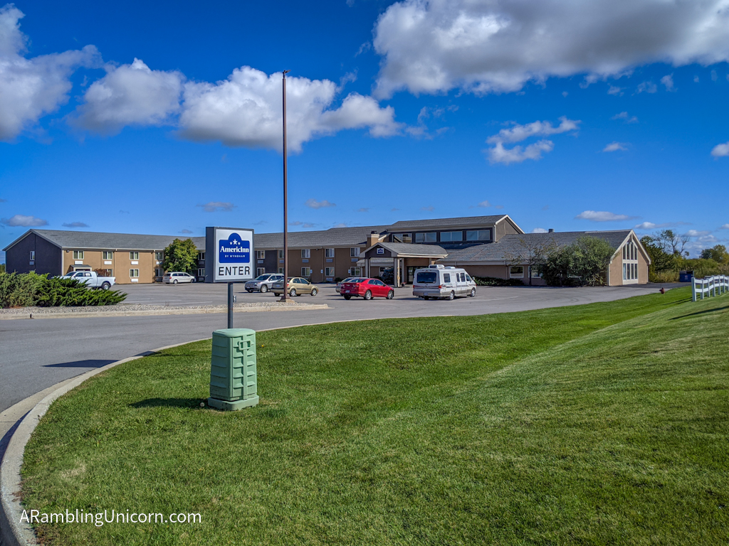
We are at Bay City, Michigan! This photo is from the following day when the thunderstorm had passed.
Date: September 30, 2020
Great American Road Trip Status: Day 87
Starting Location: Munising / Pictured Rocks KOA
Ending Location: Bay City, Michigan
Miles Traveled: 282.5
Total Trip Mileage: 5767.6
For more details on our Great America (Socially Distanced) Road Trip, see my previous posts:
- Day 86: North Country Trail: Sand Point to Miners Castle
- Day 85: A Rainy Autumn Day in the U. P.
- Day 84: Falling for Fall Foliage at Pictured Rocks National Lakeshore
- Day 83: Crossing the Mackinac Bridge: Gateway to the Upper Peninsula
- Day 82: There’s No Breakfast Like Trail Breakfast
- Our Vagabonding Anniversary: A One-Year Retrospective

0 Comments