
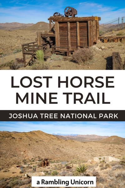
The western United States is home to many abandoned gold mines. Relics from a bygone era, these defunct mines tend to be located in remote areas that are accessible only on foot. I’m always a sucker for hiking to an abandoned mine and I have trekked to quite a few (including the Gold Mine Trail on Sumas Mountain). So I was quite excited to check out the Lost Horse Mine Trail – which is one of the best hikes in Joshua Tree National Park!
The mill built over top of the Lost Horse Mine is considered to be one of the best preserved mills of its kind in a National Park Service Unit. It also holds the distinction of being an unusually profitable mine, producing more than 10,000 ounces of gold and 16,000 ounces of silver (worth approximately $5 million today) between 1894 and 1931.
Please note: This trail is not suitable for wheelchairs or strollers. Dogs are not allowed.
Table of Contents
A Brief History of Lost Horse Mine
The history behind the mine is a fascinating one, filled with shady characters and nefarious deeds. Johnny Lang originally developed the mine in the 1890s and set up a two-stamp mill to process gold. A wealthy Nevada rancher named J.D. Ryan purchased the mine from Johnny Lang in 1895 and kept him on as an employee. Ryan erected a steam-powered, ten-stamp mill and ran a water pipeline for 3.5 miles to power the operation.
As the story goes, Ryan became suspicious that the mill wasn’t producing as it should. He eventually discovered that Lang was keeping half the gold for himself during the refining process. Lang was fired but came back years later to find the gold which he had hidden away in a secret stash.
A full account of the story is available on the National Park Service’s Lost Horse Mine web page.
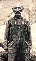
Johnny Lang
Trailhead and Parking for Lost Horse Mine Trail
The trailhead for Lost Horse Mine Trail is located on Lost Horse Mine Road near the West Entrance in Joshua Tree National Park. The parking area is small and doesn’t have room for many cars so I recommend arriving early. When I first attempted to hike this trail, I arrived around 11:30 am to find a parking lot full and a sign blocking entrance to the road. When I tried again, I arrived at 8:30 am on a weekday in February to find the parking lot half full. I later learned that a crew was doing maintenance on the trail and half of the cars were theirs.
The last mile of the drive requires driving on a single-lane dirt road. RVs and large vehicles are not permitted at the trailhead.
Driving directions from Highway 62: turn south onto Park Boulevard in the town of Joshua Tree. The Joshua Tree Visitor Center is located one block ahead on the right if you’d like to stop and get a map or additional information. From there continue straight, past the West Entrance, and into the park for 15 miles. At Keys View Road, take a right and drive for 2.5 miles until reaching Lost Horse Mine Road. Take a left and follow the dirt road for 1 mile to the parking area.
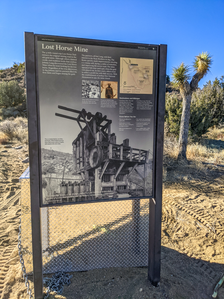
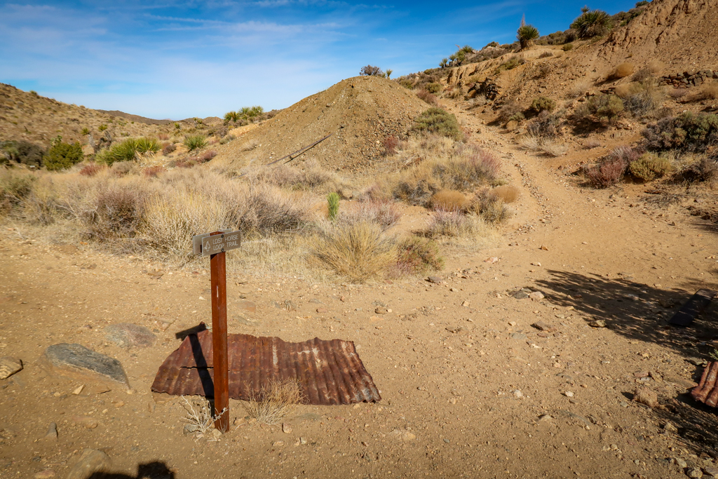
Interpretive sign at the trailhead for Lost Horse Mine
Preparing for a Hike in Joshua Tree
When planning your hike, remember that you are entering a desert environment and pack accordingly. There are no stores or restaurants once you enter the park, so you should come prepared with everything you need for your visit. Daytime temperatures can get really hot in Joshua Tree, especially in the summer months, so be prepared with adequate sun protection and plenty of water.
Avoid hiking during the hottest part of the day if you can help it (or hike during the winter months when it is cooler). Be sure to leave no trace of your visit behind and learn how to pee outside in case the urge strikes while you’re away from a bathroom.
Hiking Gear
This list includes some of my favorite gear for day hiking.
- Hiking Shoes – Sturdy hiking or walking shoes are a must. Personally, I’m a big fan of Altra Lone Peak Trail Running Shoes. I pair them with Dirty Girl Gaiters to keep sand and rocks from getting into my shoes.
- Socks – Good thick socks are also important. I usually wear a pair of double-walled Wrightsock Coomesh II socks with my Altras. For longer hikes, I switch to Injinji Midweight socks to prevent toe blisters.
- Backpack – A backpack is essential so you can carry water, layers, and snacks. I love Ospreys and use the Osprey Manta pack which is technically a men’s pack (because I have a longer torso than most women). The women’s equivalent is the Osprey Mira pack.
- Hiking Poles – Hiking poles reduce pressure on your joints and help maintain your balance if you trip. My current favorites are the LEKI Micro Vario Carbon Trekking Poles because they are super lightweight and fold down to easily fit into my suitcase.
- Electronics – if you are using your phone for navigation, bring a portable battery such as the Anker portable battery charger. For longer hikes or backpacking trips, consider bringing a Garmin InReach Explorer. This is a Personal Locator Device (PLB) that enables you to trigger a SOS call to search and rescue and 2-way texting over satellite.
Hiking the Lost Horse Mine Trail
Part 1: Hiking to the Mine
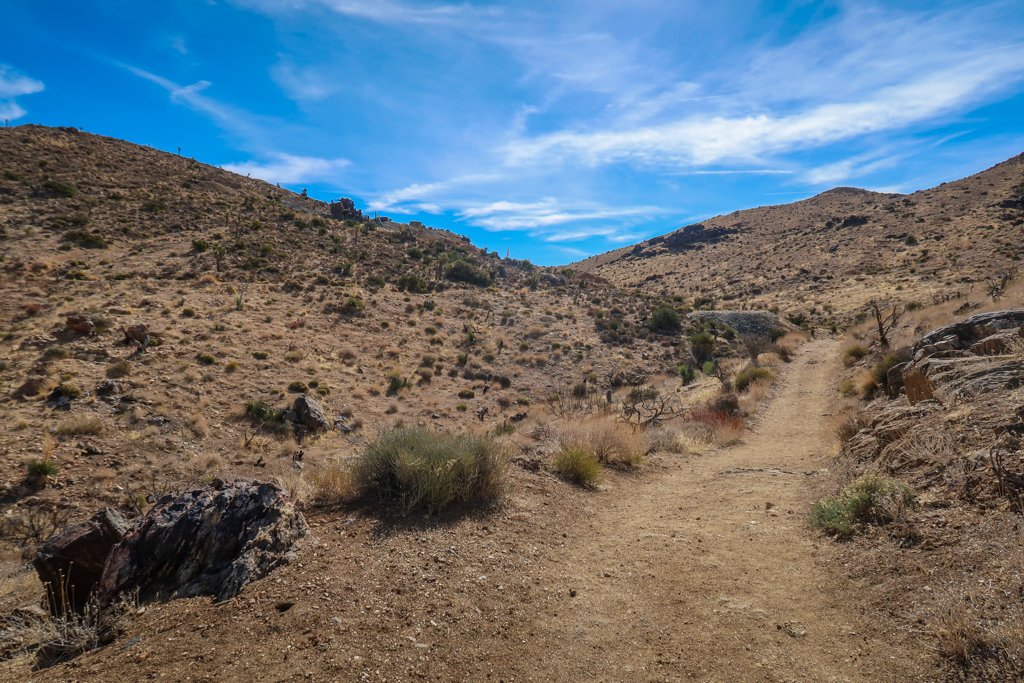
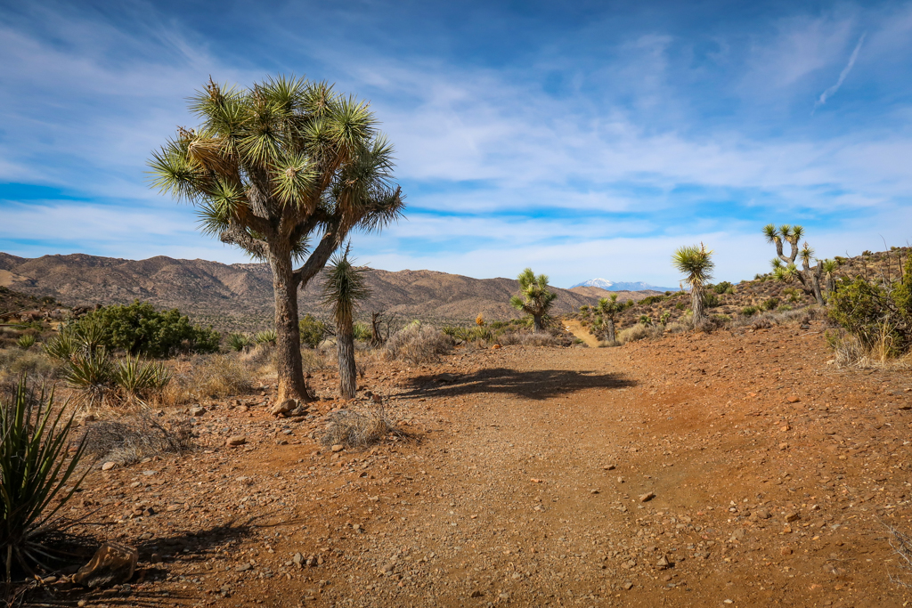
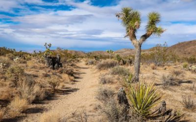
The trail to Lost Horse Mile follows the same road that J.D. Ryan developed to haul ore and supplies to his mine. From the parking area, start at the interpretive sign and head east. The trail heads gently uphill, gaining a total elevation of 515 feet over 2 miles. You’ll be treated to a classic Mojave Desert landscape complete with yucca, juniper, creosote and the occasional Joshua Tree.
At .3 miles, you’ll pass a trail junction for the Big Trees Trail. The trail continues heading gently uphill until it reaches the 1 mile point and crests over a small hill. Don’t forget to turn around before heading downhill to take in the views behind you.
At 1.1 miles, the trail passes a small wash where the remains of a stone building can be seen on the right. As you continue hiking east, the trail wraps around some ravines until the mine eventually comes into view at the 1.5-mile point.
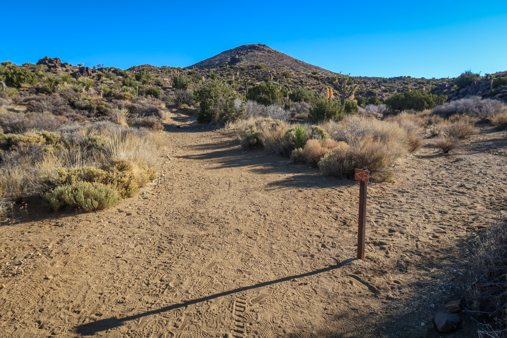
Follow the signs for Lost Horse Mine Trail as you leave the parking lot.
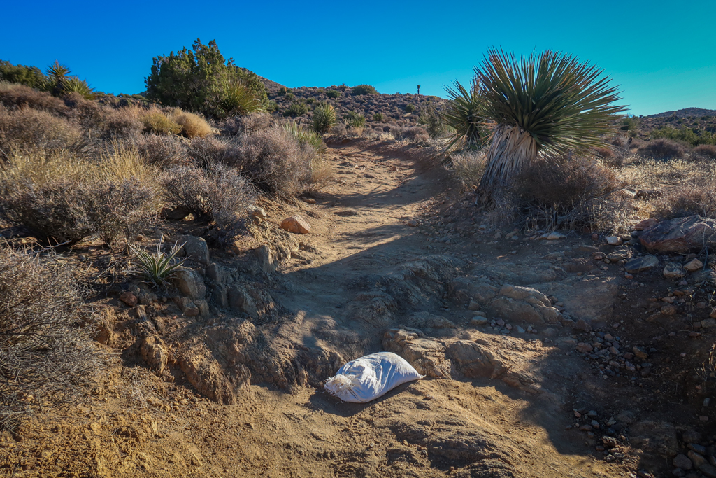
The trail was in pretty bad shape when I hiked it. A crew was doing trail maintenance to repair the rough sections.
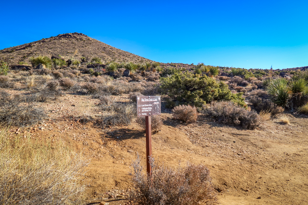
Stay right on at the junction for Big Trees Trail.
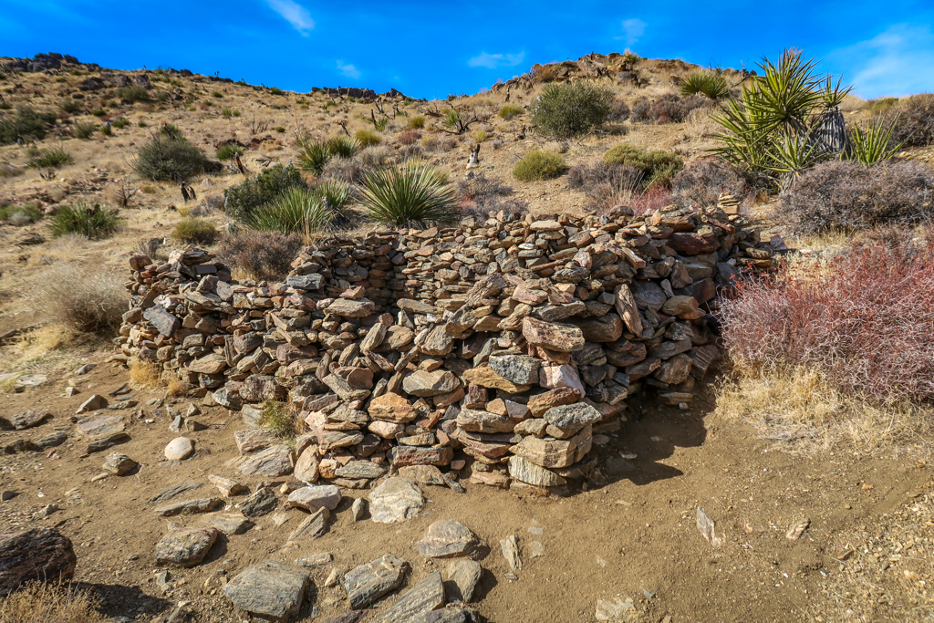
The remains of a stone building at the 1.1 mile point.
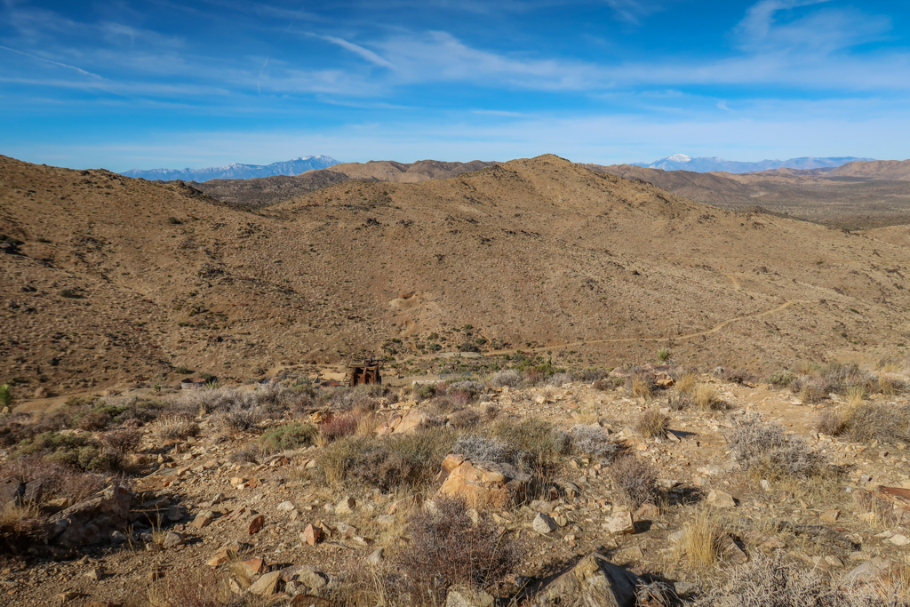
Lost Horse Mine comes into view around mile 1.5 (it’s on the left side of the photo about halfway up the hill).
Part 2: Exploring around Lost Horse Mine
After about 1.8 miles, the trail passes Lost Horse Mine which is perched on the hill up above. There are several social trails here where you can make your own way up the hill. Or, if you prefer, you can take the official trail as it follows the old mine road. This is the less steep option. To take the official trail, keep walking until you reach the second signpost for the Lost Horse Loop Trail. From here, the trail turns north sharply as it completes one final switchback up the hill towards the mine.
There is lots to see in the area around the mine and I recommend wandering around a little. While you cannot explore the mine itself as it is blocked off, there are remnants of old buildings and machinery nearby.
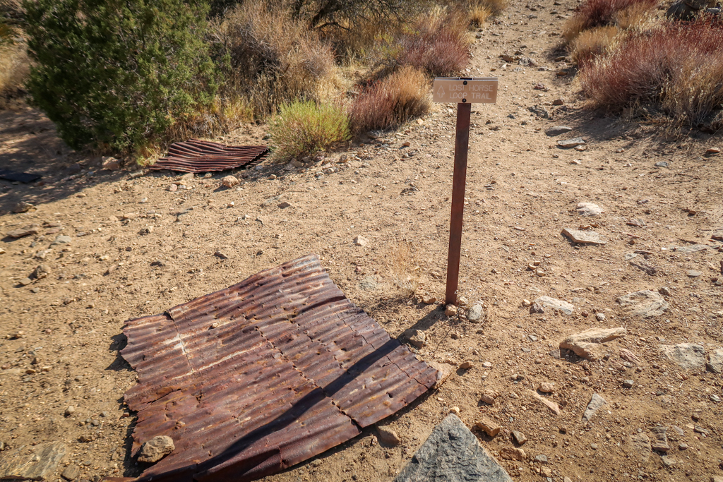
This second signpost for Lost Horse Loop Trail marks the official trail to Lost Horse Mine. Take a left here.
Another view of the official trail to Lost Horse Mine branching off from the Lost Horse Loop trail. Taking this official route involves walking along one last switchback.
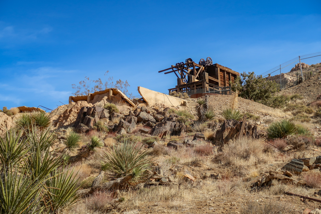
Lost Horse Mine as viewed from the trail junction.
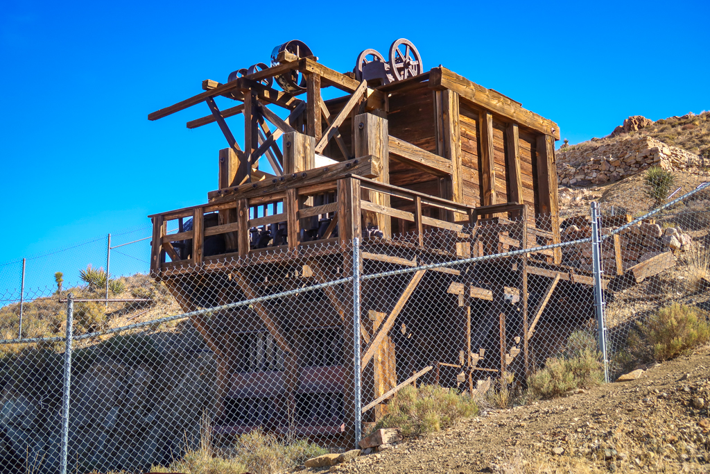
The Lost Horse Mill
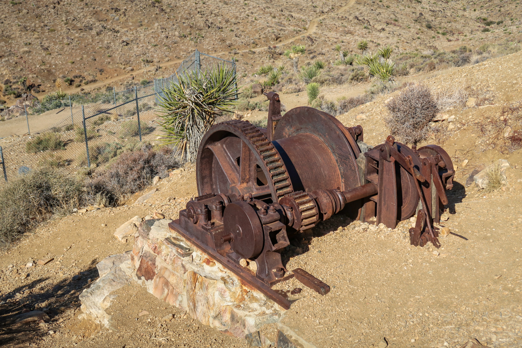
Lots of old mining equipment is still visible in the area near the mine
Part 3: Climbing the Hill behind Lost Horse Mine
Once you’ve made it all the way to Lost Horse Mine, you may as well continue to the top of the hill directly behind it. The climb is steep but short and only adds a few extra minutes to the hike overall. This vantage point offers a fabulous 360 degree panoramic view of the area in Joshua Tree National Park.

Climbing the hill behind Lost Horse Mine

Panoramic view from the hill behind Lost Horse Mine facing east
The view from the hill behind Lost Horse Mine facing west. The mine is visible further down the hill.
The obligatory summit selfie!
Part 4: The Return Hike
For those wishing to extend the hike, the Lost Horse Mine Loop trail continues at the base of the mill and heads south. The loop trail is 6.8 miles roundtrip and goes by the remnants of another less successful mining operation called the Optimist Mine.
When I hiked the trail, I was short on time and so headed back the way I came. The views on the return trip were much better than on the way in. The descent is gradual and not too difficult.

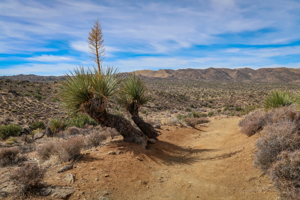
Yucca lines the trail on the return trip. A remnant of the water pipe used to power the mill is still visible.
Joshua Trees!
The views on the return trip
Lost Horse Mine Trail Information and Map
Note that there is a separate trail to Lost Horse Mine called the Lost Horse Mine Loop Trail. The loop trail is 6.8 miles with 882 feet of elevation gain overall, whereas this trail is 4 miles with 515 feet elevation gain overall.
- Distance – 4 miles out & back
- Elevation Gain – 515 feet
- Starting Elevation – 4603 feet
- Highest Elevation Point – 5063 feet
Joshua Tree National Park Fee Information
The fee to enter Joshua Tree National Park is $30 per vehicle which is good for seven days. I recommend buying the America the Beautiful Interagency Pass, however, which costs $80. This allows entry to all National Parks for an entire year, as well as most federal lands (including National Forests, Bureau of Land Management and more).
Be sure to check the Joshua Tree National Park web site for current conditions before heading to the park.
While you’re in the area, don’t forget to explore outside of the national park as well. There are lots of fun fun and quirky things to do near Joshua Tree besides hiking and camping.
Additional Joshua Tree Resources
If you enjoyed this trail guide, be sure to check out my other articles about Joshua Tree National Park!
- Joshua Tree Day Trip: The Ultimate One-Day Itinerary
- Best Hikes in Joshua Tree: The Ultimate Hiking Guide
- Backpacking in Joshua Tree: Tips for Successful Wilderness Camping
- California Riding and Hiking Trail: An Epic Joshua Tree Backpacking Adventure
- 10 Fun and Quirky Things to Do Near Joshua Tree
Have you hiked the Lost Horse Mine Trail in Joshua Tree National Park? I’d love to hear from you! Share your experience in the comments below.
Like this article? Pin it!
Note: This post contains affiliate links, which means I may receive a commission if you click a link and purchase something. While clicking these links won’t cost you anything, they will help me to keep this site up and running!

0 Comments